
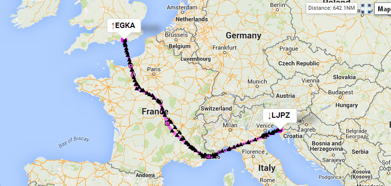
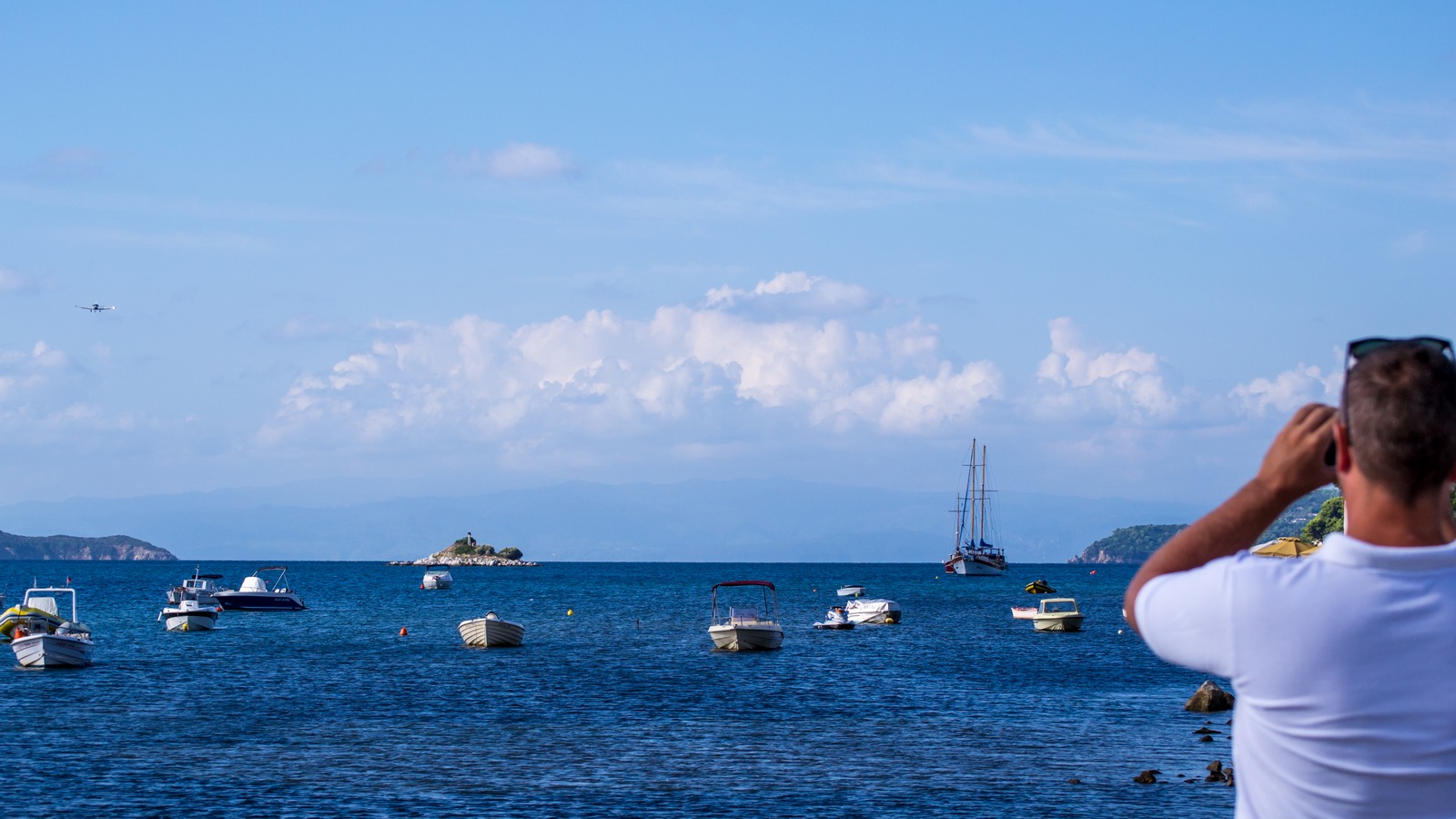
Trip from Shoreham to Slovenia, Croatia and Greece, September 2015
This article describes a trip from Shoreham EGKA, UK, with the following stops
(1) Portoroz LJPZ in Slovenia - the EuroGA
fly-in
(2) Brac LDSB in Croatia
(3) Athens LGAV in Greece
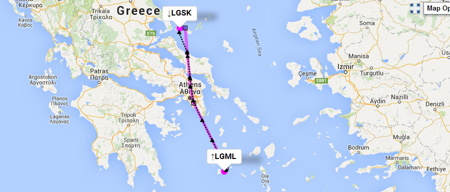
(4) Milos LGML in Greece
(5) Skiathos LGSK in Greece
(6) Corfu LGKR in Greece (refuel only)
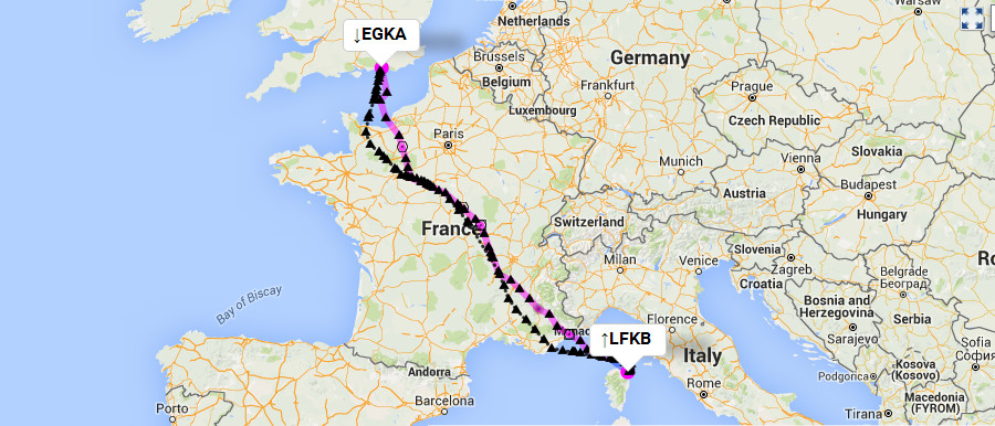
(7) Bastia LFKB in Corsica, France.
and back to (8) Shoreham EGKA.
It is somewhat similar to the 2014 EuroGA fly-in to Corsica which was also followed by a trip around Greece; that trip had more stops.
The EuroGA fly-in was actually to Piran which is a few km from Portoroz. The airport flown to was Portoroz. Originally the fly-in was going to go to the grass runway airfield at Venice (the "Lido", also called "San Nicolo", LIPV) but it was cancelled due to a late discovery that the Venice Film Festival was going to be there on the same dates. Also a number of pilots did not want to land on a grass runway.
I flew out with one passenger, Colm, left him in Athens, picked up my girlfriend
Justine in Athens, did the two small Greek islands with her, and left her at
Skiathos. She doesn't like long GA flights anymore ![]()
The trip went almost to plan. No flights were cancelled due to weather, but the return route Skiathos-Athens-Bastia-Shoreham was replanned with Athens replaced with Corfu.
Other trip writeups are here
For non-aviation readers, here is a glossary
Pilot
FAA CPL/IR, JAA/EASA PPL/IR, ~2000hrs.
Aircraft
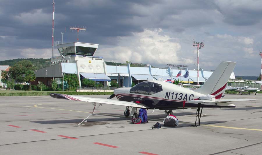
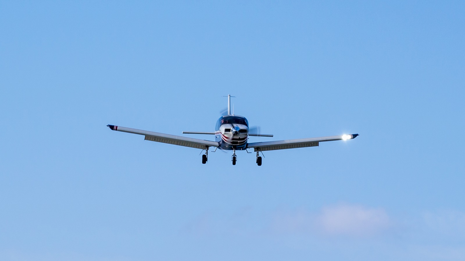
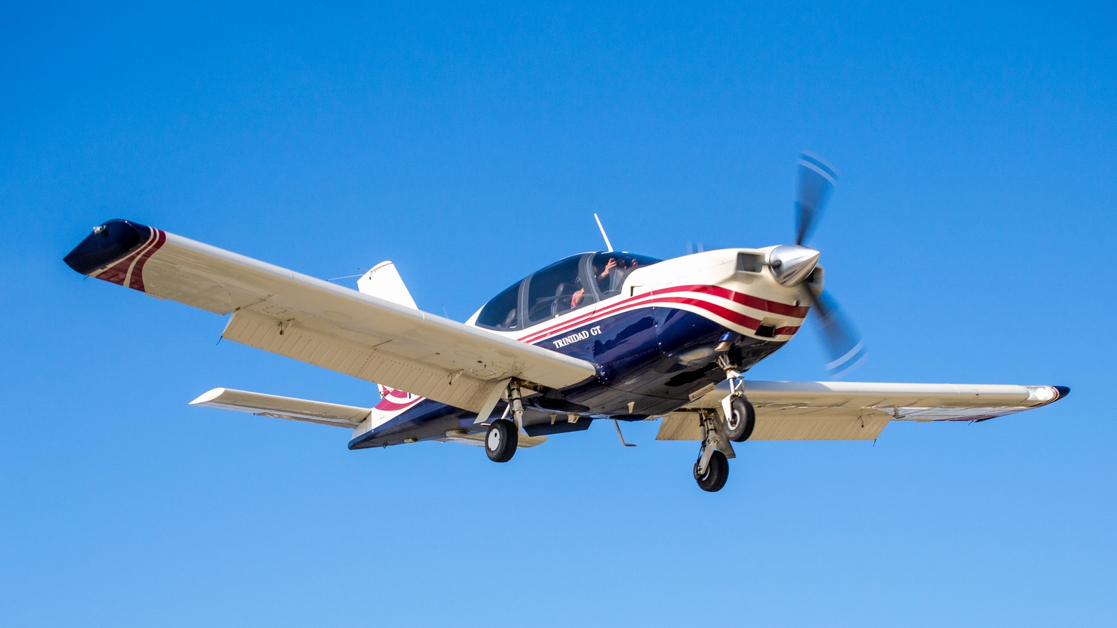
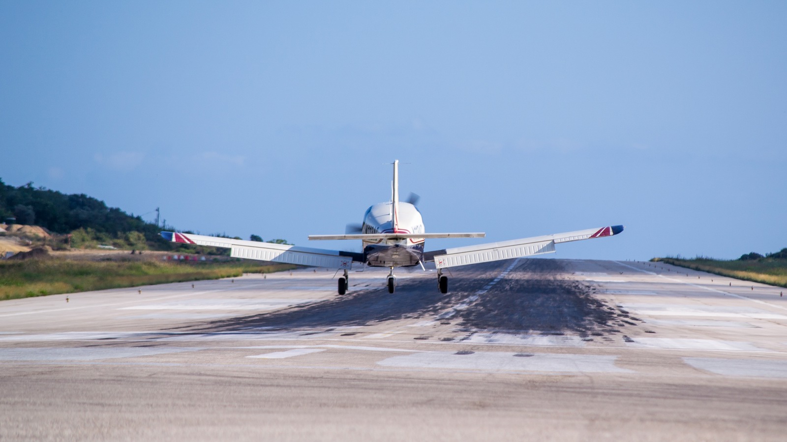
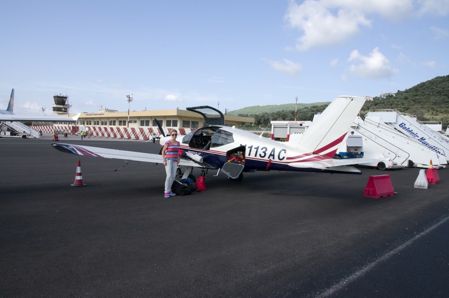
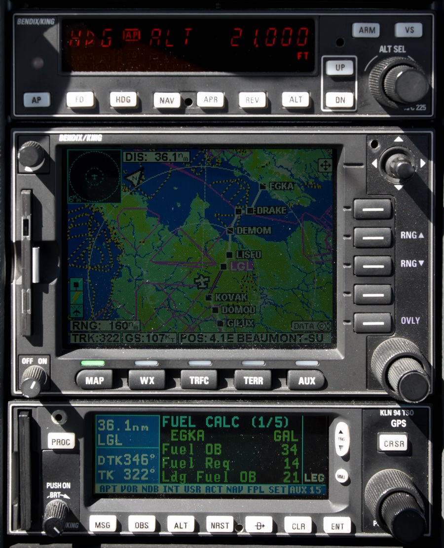
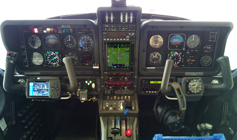
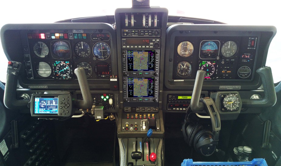
The aircraft is this 2002 TB20GT; one of the last made before production ended.
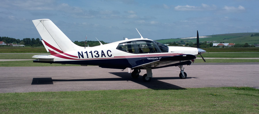
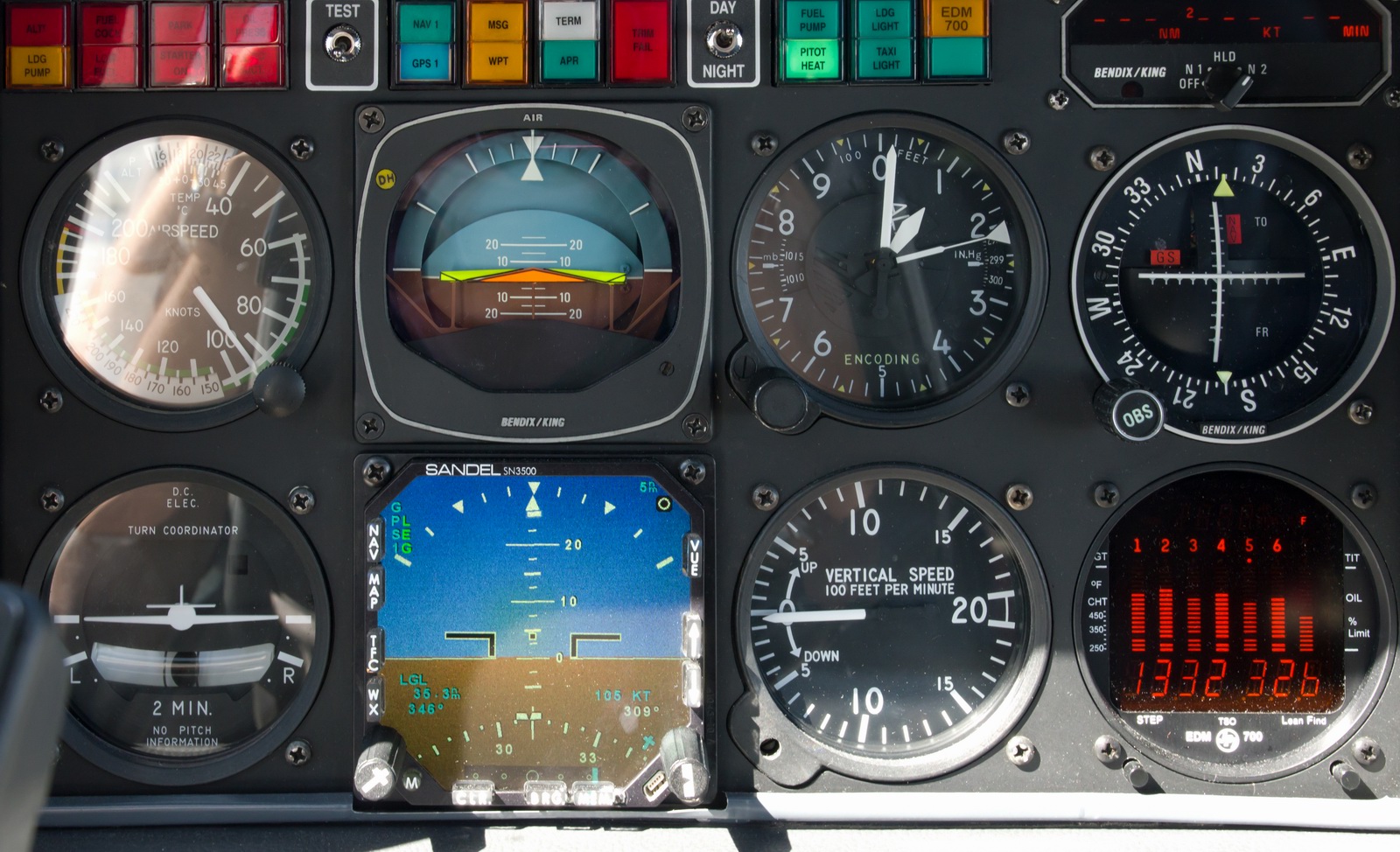
It is equipped for BRNAV (RNAV 5) and can fly ILS and GPS/LNAV approaches using the autopilot. Currently, this is sufficient for all practical European IFR flight. The cockpit is largely as delivered in 2002, with a Sandel EHSI installed on the LH side in 2011 and with the RH side reworked in 2013 with another Sandel EHSI and arranged to form a usable "pilot panel" so the aircraft can be flown properly from the RH side
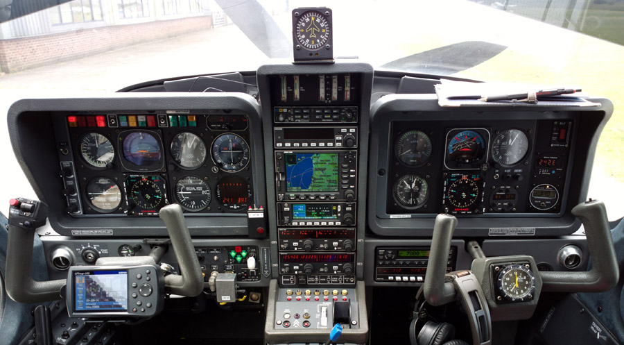
There is no LPV approach capability but LPV is not yet operationally relevant in Europe especially if flying to/from the UK which normally needs an airport with Customs (Immigration, to be precise, though "Customs" is the word normally used in the international airport context, and very few countries have airports which have one function and not the other). I expect this will change, especially when my base Shoreham EGKA gets LPV. Then I will be looking at spending serious money - either on a GTN750 or two IFD540s (photoshopped images). Neither is a good option... the GTN750's large screen area is lost while accessing one of its functions (you don't get the nice KLN94+KMD550 separation) and while the IFD540 is functionally better and having two of them would deliver great usability and redundancy, it is currently (2015) plagued with bugs and QA problems, with most delivered units having out-of-the box faults.
Oxygen is used on all IFR flights, with the Mountain High O2D2 electronic regulators and cannulas
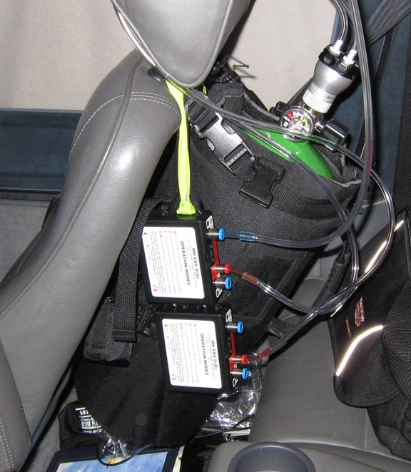
In general, European IFR is only marginally feasible without oxygen, due to the minimum practical Eurocontrol routings. The IFR legs on this trip were filed at around FL100, which is my normal level when the weather is nice, but one climbs as required to remain VMC on top, and I had to climb to FL210 to get above weather on the way back. One can fly for hours at FL100 and it is legal but without oxygen one would end up very tired.
Route Planning
The whole trip, except the short Portoroz-Brac leg, was flown under IFR. I have had the IR since 2006 and use it whenever possible, because IFR facilitates much easier flight planning, and much easier flying because controlled airspace becomes almost irrelevant. Most of the flights in this report could have been done under VFR, however, sometimes low down below the clouds.
The IFR routes were developed using the EuroGA
autorouter. As far as possible, all were preplanned back home, before departure,
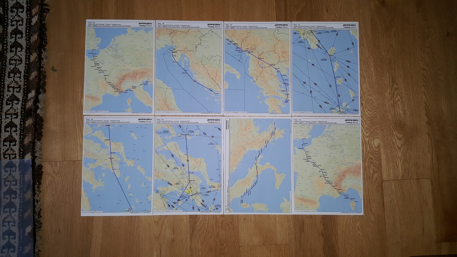
and printed off to produce a "routepack" for each leg, comprising
of a whole-route picture (example) and a plog
(example). I like paper because it needs no
backups and is sunlight-readable ![]()
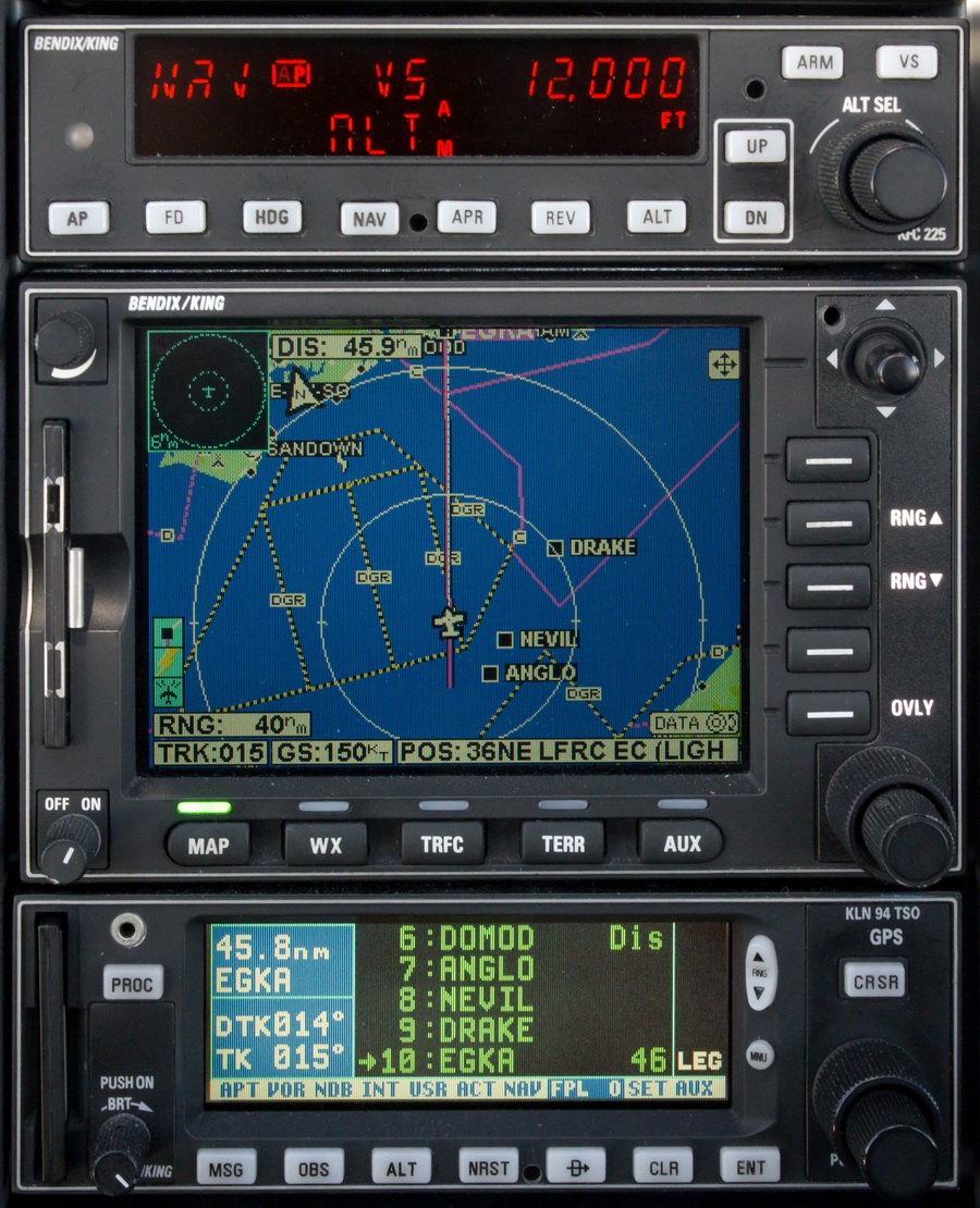
The plog contains the waypoints that are loaded into the GPS, though in practice there are usually too many for my GPS (KLN94, max 20 waypoints per flight plan) so one loads the first 15 or so, and the destination, and loads the rest as the flight progresses.
Due to these software tools, the whole "IFR in Europe" process is much simpler than it was some years ago. Today, route planning is normally very quick. What takes time is all the peripheral stuff like checking out airport opening hours...
The one VFR leg (Portoroz-Brac) was filed using EuroFPL. I have used EuroFPL for years and it's a great facility but they never offered complete IFR autorouting. On the other hand they do VFR flight plan filing, and I use their 10 free flight plans per month concession.
Airport PNR/PPR & other issues
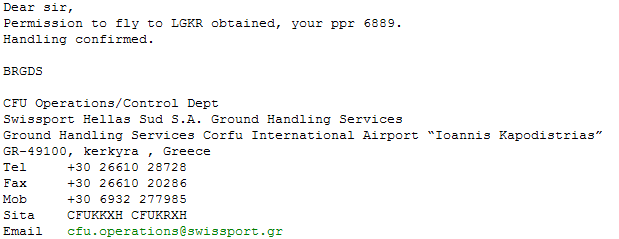
The only airport on this trip which I regard as "absolutely PPR" was Corfu LKGR. This is notamed during the summer season.
You must get the reply in writing, because Corfu has a proven history of refusing a landing clearance if they think they didn't issue the permission. They will do this even if the GA apron is empty or nearly empty (which 99% of the time it is). Nowadays you apply to the handling agent (rather than the airport itself) which is Swissport or Skyserv (formerly Olympic Handling) and they deal with it efficiently by email - example:
This topic is much easier now than it was a decade ago and, in Greece, almost anything of relevance is notamed. Greek airport personnel speaks good English and that transforms the whole experience compared to e.g. Spain, Italy or even France where you can find yourself at a relatively sizeable airport where not a single person (outside ATC) speaks a single word of English.
Greek airports publish their opening times by notam only. Normally this is a very reliable system. On this trip, there were two airports with especially narrow opening times - Milos LGML and Skiathos LGSK - and consequently the flights there and back required extra careful planning. It was OK because in those cases we stayed for long enough but it means that many Greek islands (basically the ones without all-day scheduled holiday flights from N Europe) cannot be visited by air as a day trip. You have to stay overnight.
Weather - General Notes
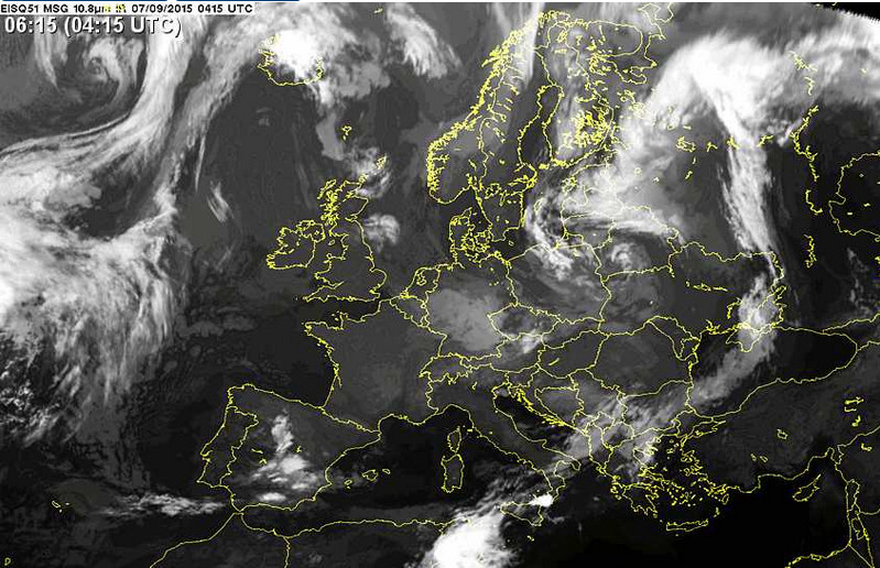
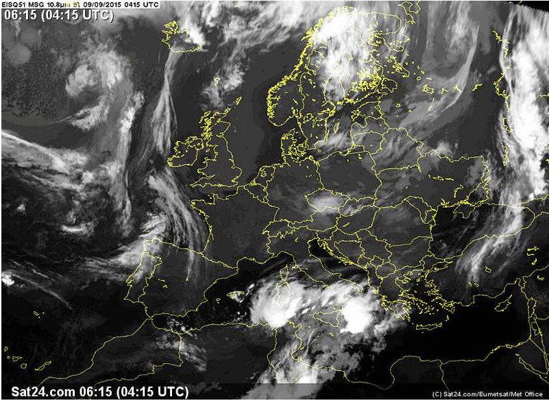
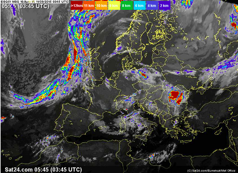
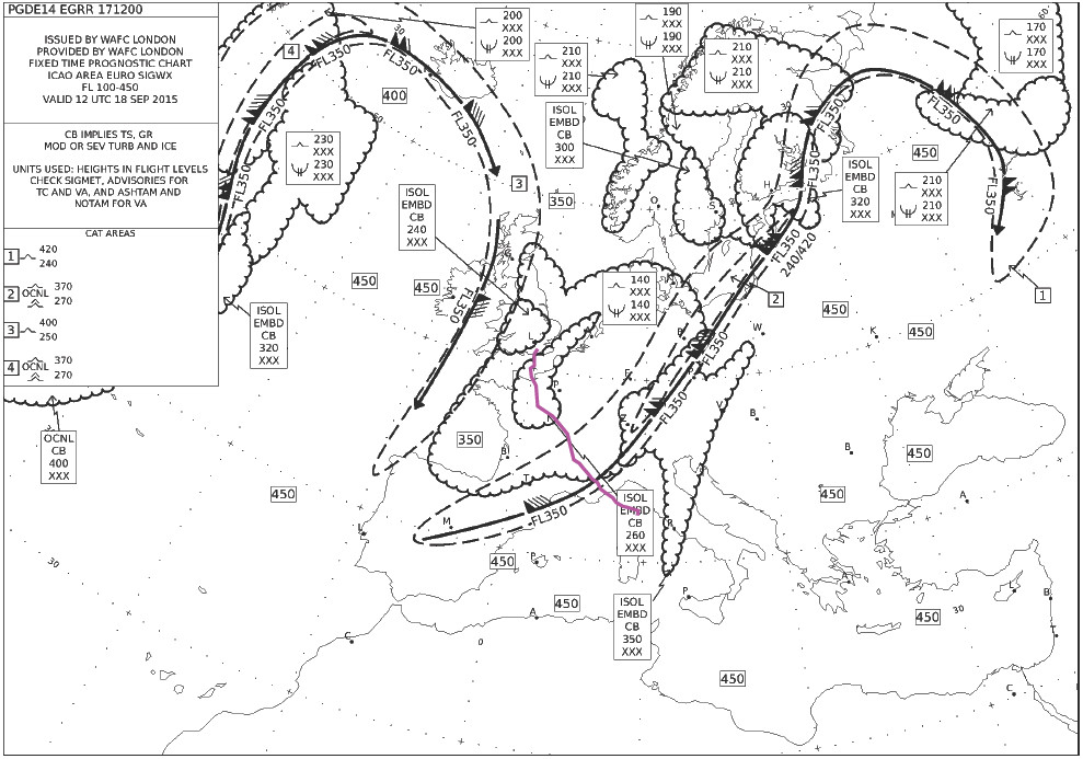
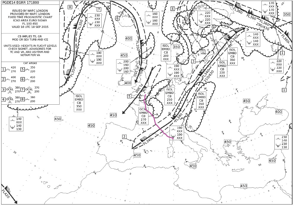
Over the years I have worked through various ways of looking at the weather. Unfortunately most of the methods - usually involving 3D cross-sections generated from the US GFS weather model - are not reliable enough. Nowadays I use the IR image shortly before a flight, usually supplemented by radar and sferics (lightning) and these have proved to be a very reliable indicator of whether the flight is feasible VMC on top in the TB20, or whether flight in IMC would be safe (one would in such a case descend below the 0C level). Some info on cloud tops is here and here. I almost never cancel a flight on the basis of forecasts only, because such cancellations turn out to be mostly unwarranted.
On this trip, most of the filed alternates were inconvenient. That is common in GA... Even back home, if I cannot get into Shoreham and have to divert to Biggin Hill, it costs hundreds of £ in taxis or other transport, airport costs, etc.
Shoreham to Portoroz, Slovenia
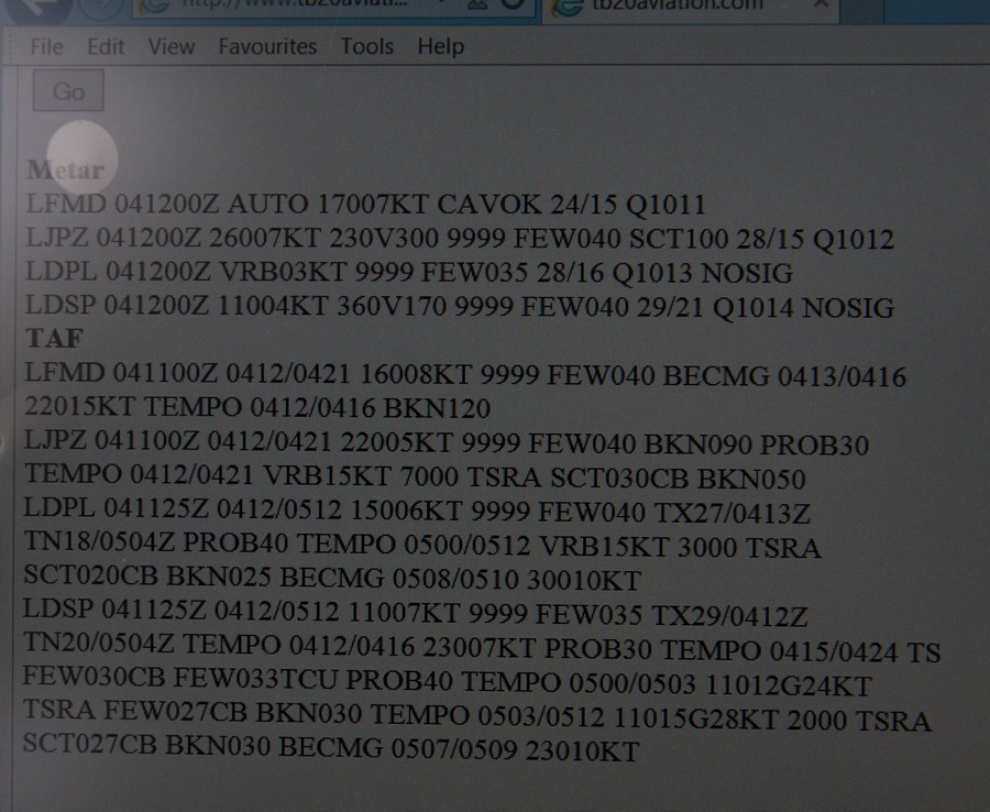
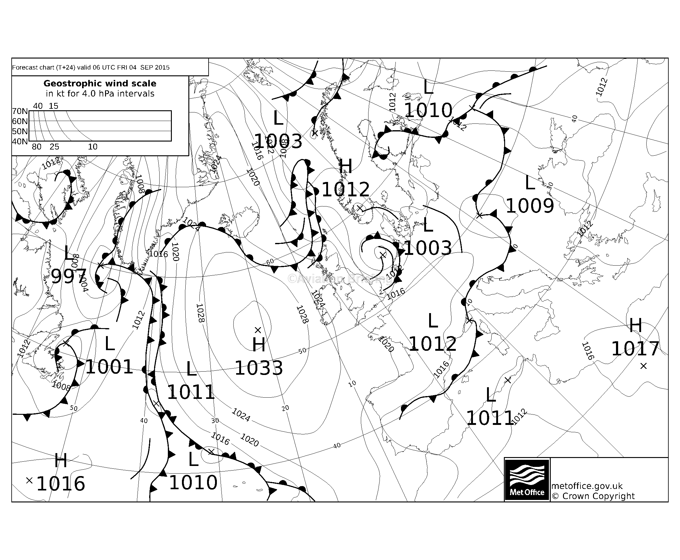
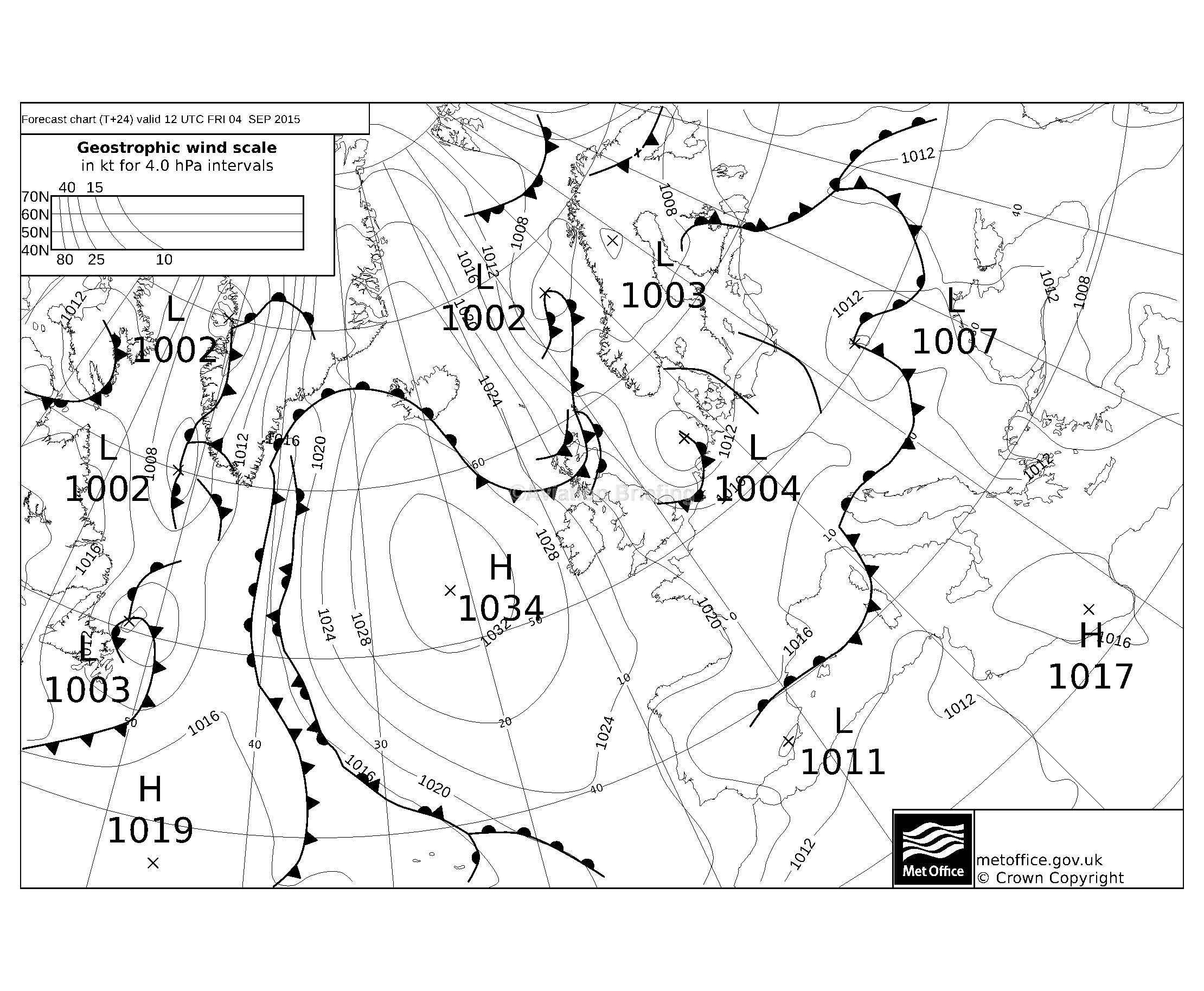
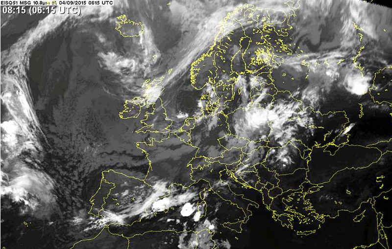
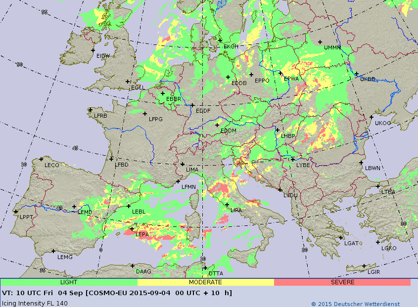
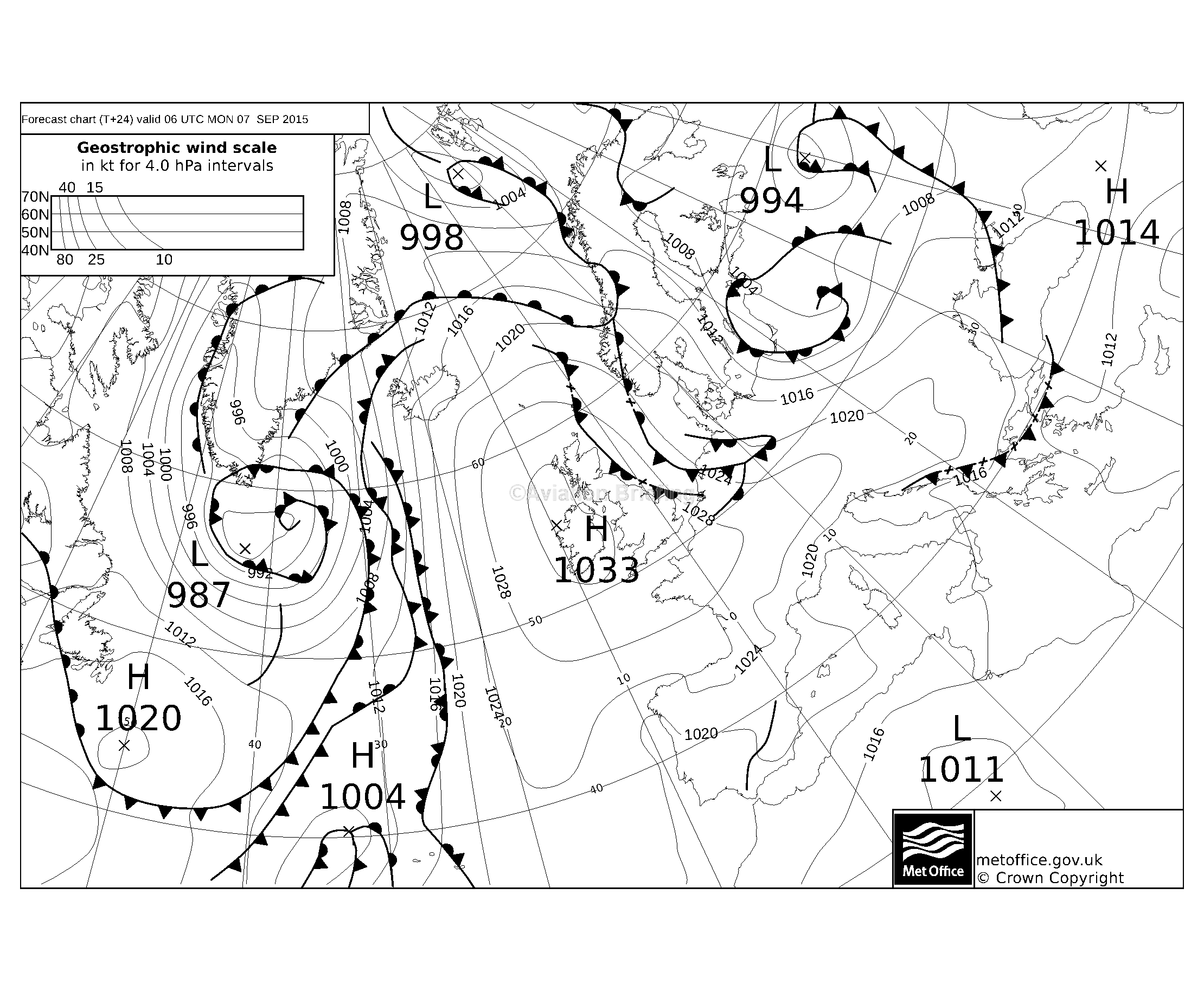
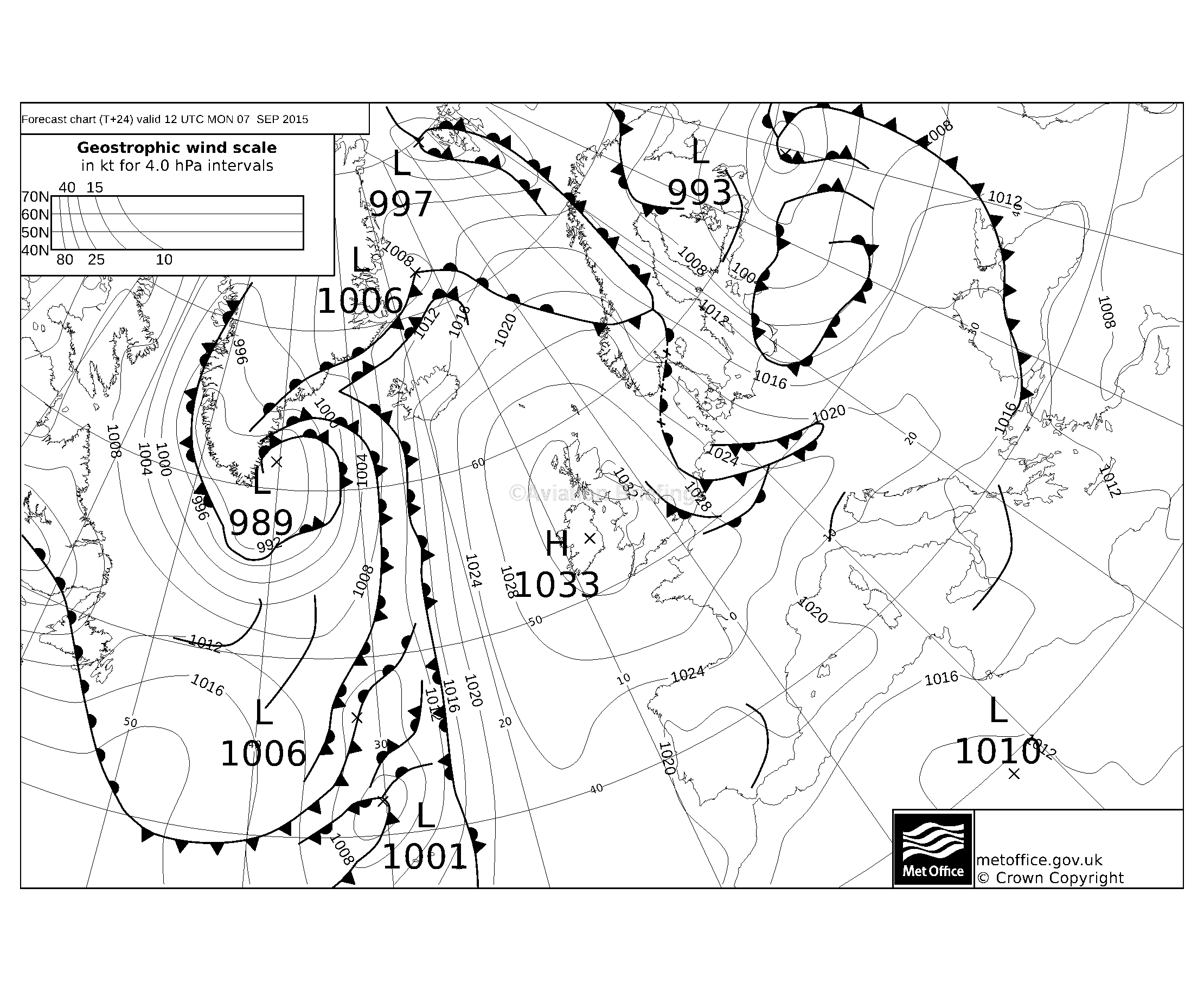
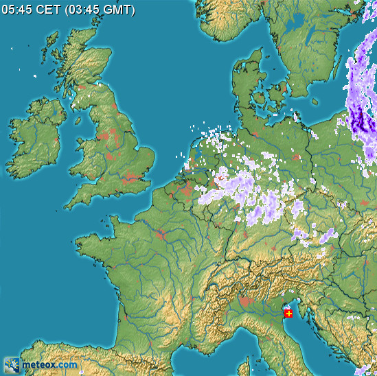
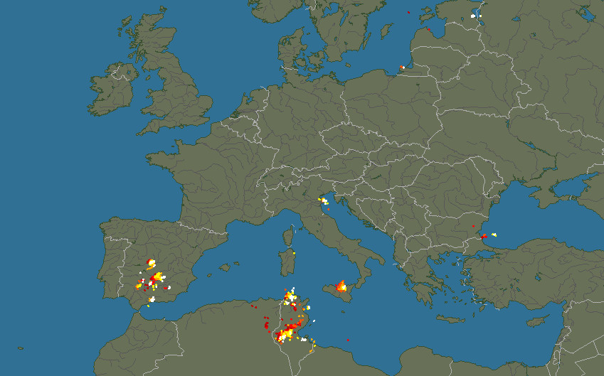
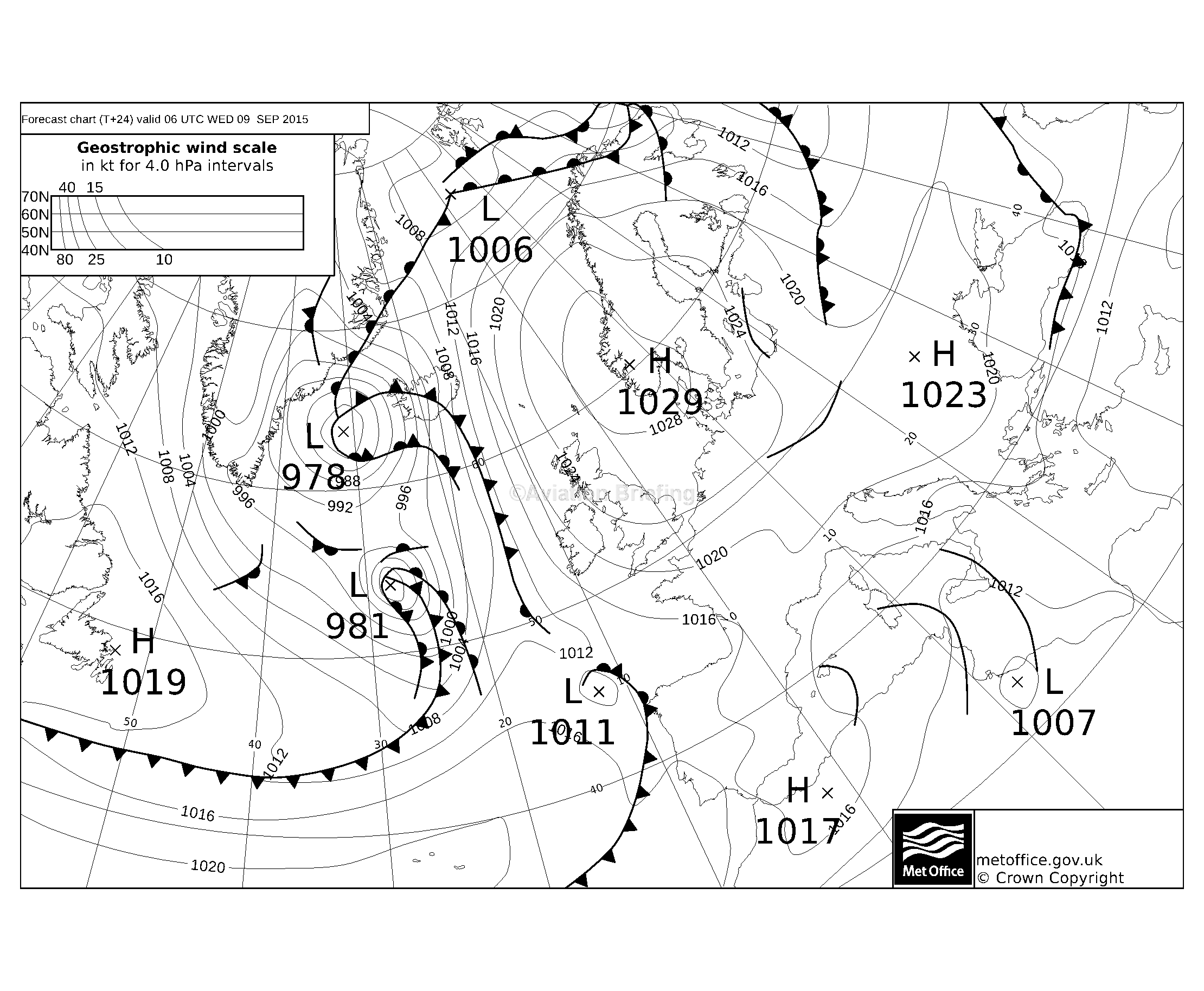
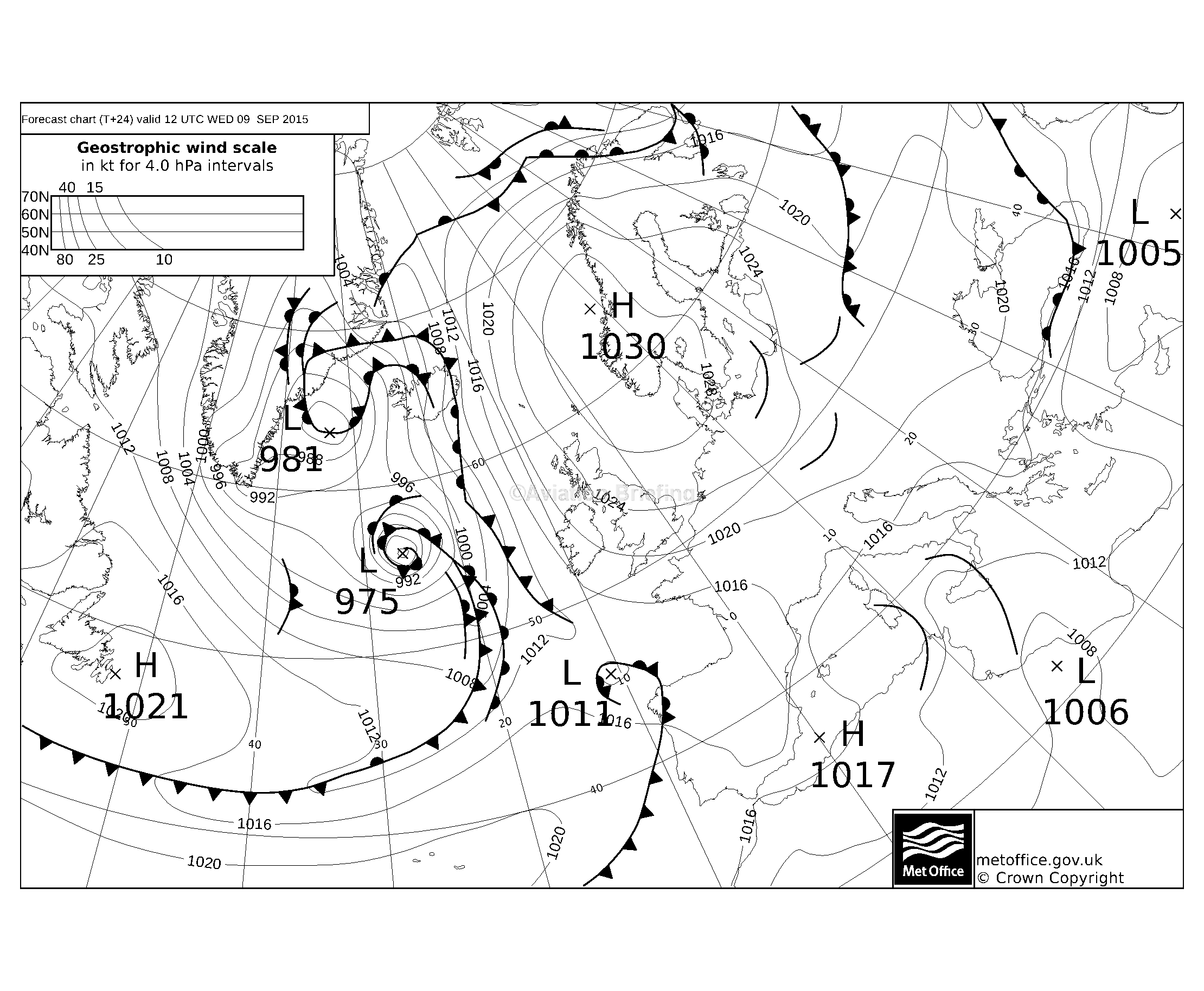
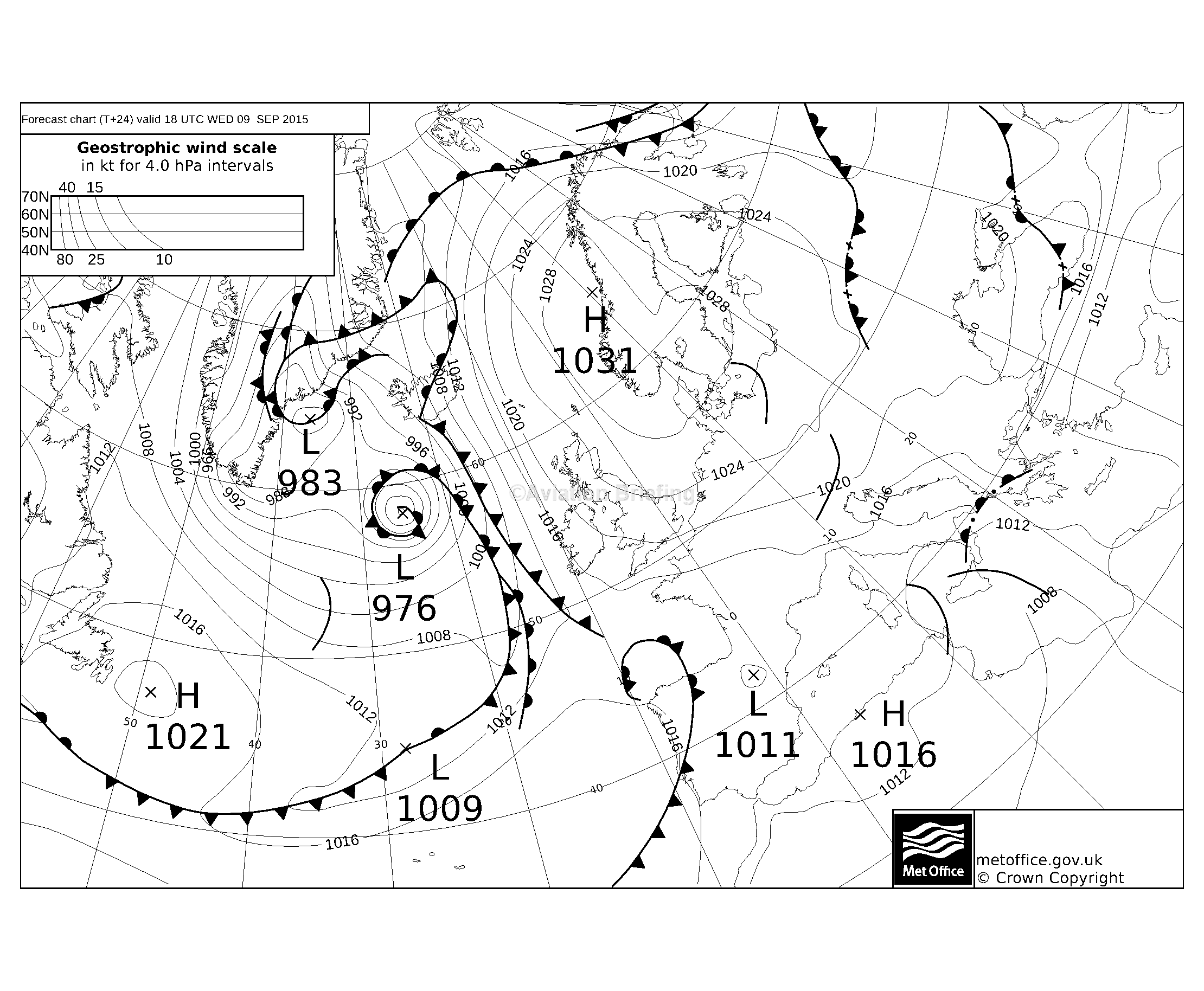
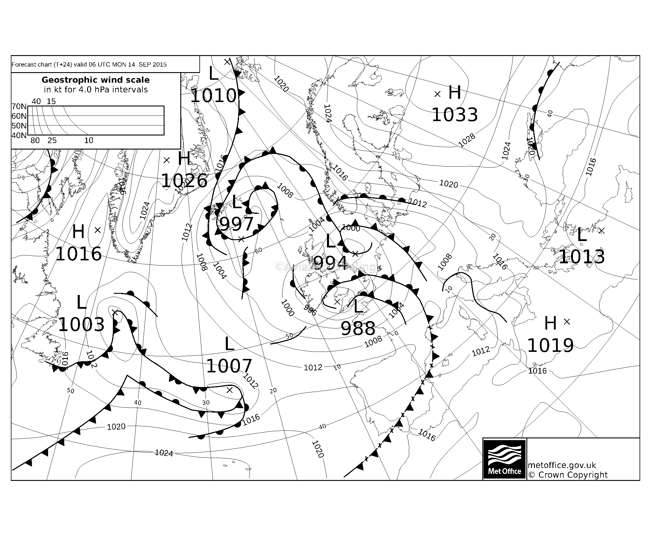
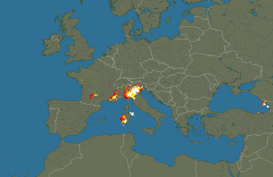
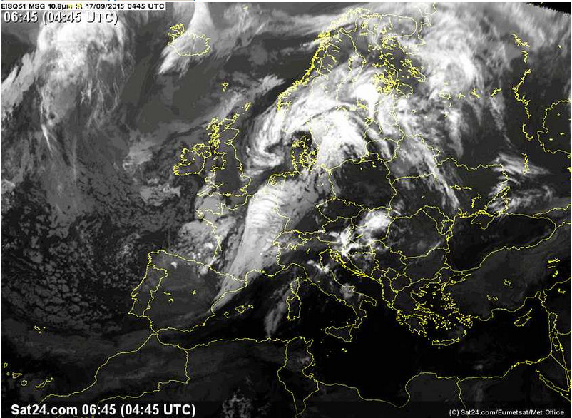
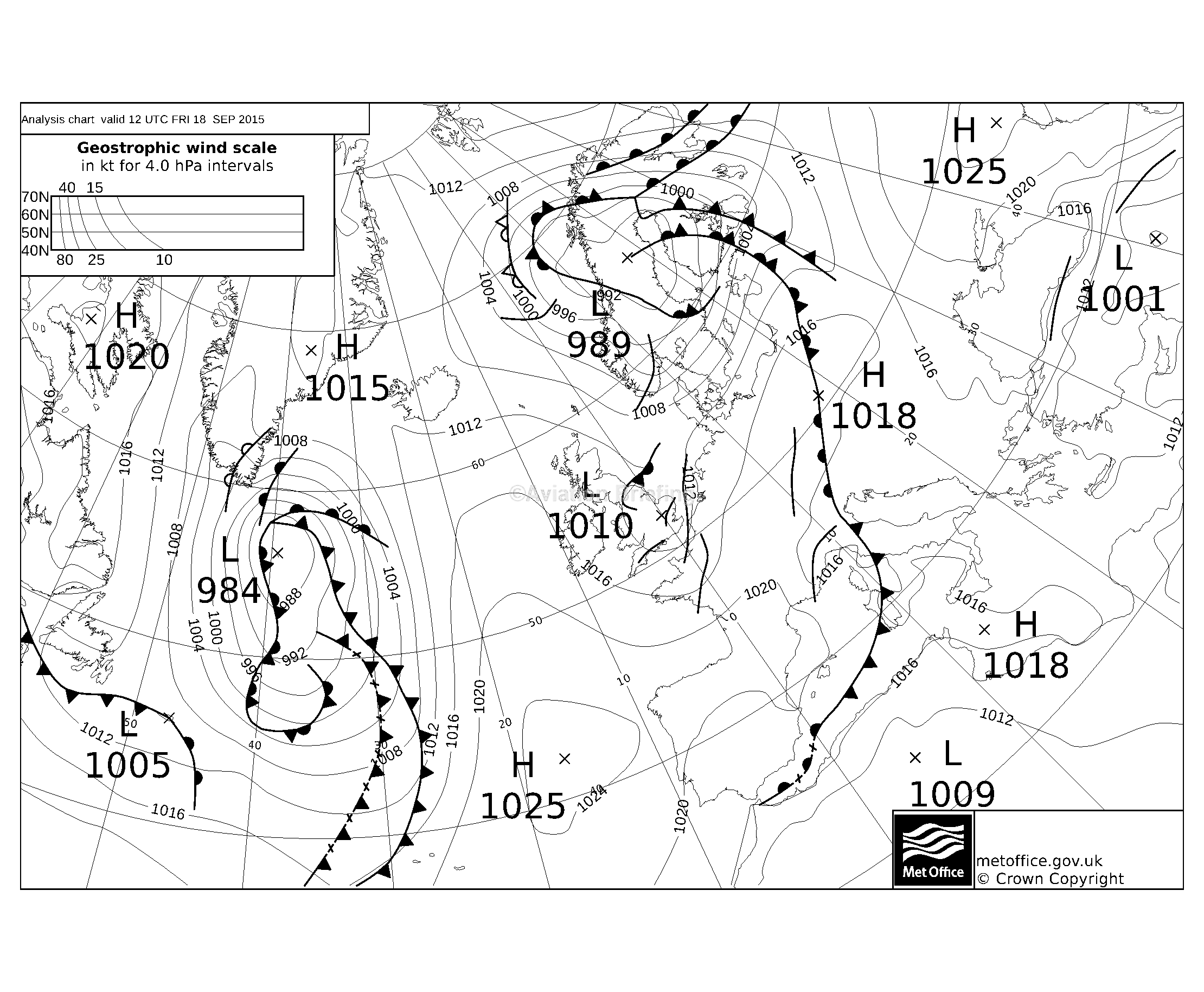
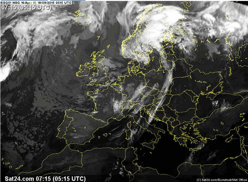
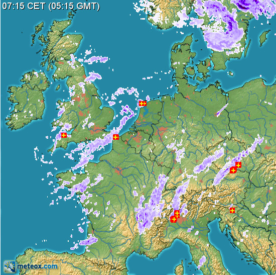
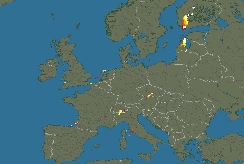
Normally this leg would have been straight over the Alps. However, this time the weather over the Alps did not look clear: MSLP 0600 1200 IR radar DWD-icing. Sferics was clear, at least. Tafs and Metars were OK for the airports too, with a PROB30 TEMPO of storms at LJPZ which was reflected in the sferics image showing lightning to the south of LJPZ.
Short of looking at webcams, there is no way to find out the cloud extent, and for planning reasons a decision had to be made before one could check out the actual situation.
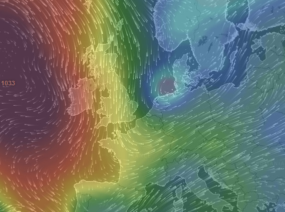
Looking at the forecast (GFS) winds from Windyty it was obvious that a detour via SE France would have had a good tailwind
So the decision to go around the Alps was an easy one! To be fair the tops in the IR image were probably well below the TB20 operating ceiling and on another occassion I would have done the flight over the Alps... had it not been for the nasties on the MSLP charts. Ultimately this underlines one of the biggest issues in IFR GA: there is no way to determine cloud tops accurately.
The GRAMET for the flight is here. This
is useful data, but it is still derived from the same US GFS weather model from
which countless weather websites generate variously impressive 3D data. It's
easy to be convinced by a nice presentation ![]()
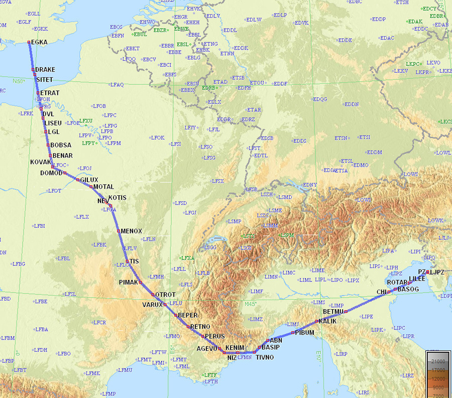
This was the filed route EGKA-LJPZ. It is a "typical modern" Eurocontrol route, initially filed for a silly FL040 and then with meaningless level changes:
EGKA DRAKE/N0149F070 DCT SITET/N0152F110 A34 LGL H20 BENAR A34 KOVAK H20 DOMOD A3 SANCE R31 PIMAK DCT OTROT DCT VARUX DCT BEPER DCT RETNO/N0147F140 A3 PERUS G374 AGEVU DCT KENIM/N0146F150 DCT NIZ DCT TIVNO Y15 ABN Z388 CHI M167 ROTAR LJPZ
Alternates: Pula LDPL, Mali Losinj LDLO
859nm (direct: 641nm, overhead: 34%)
Here are the routepack printouts from Jeppesen Flitestar. Note that these show a flight Skiathos-Athens-Corsica which was not actually flown.
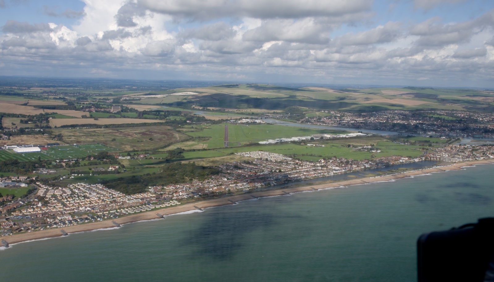
Weather at Shoreham was good
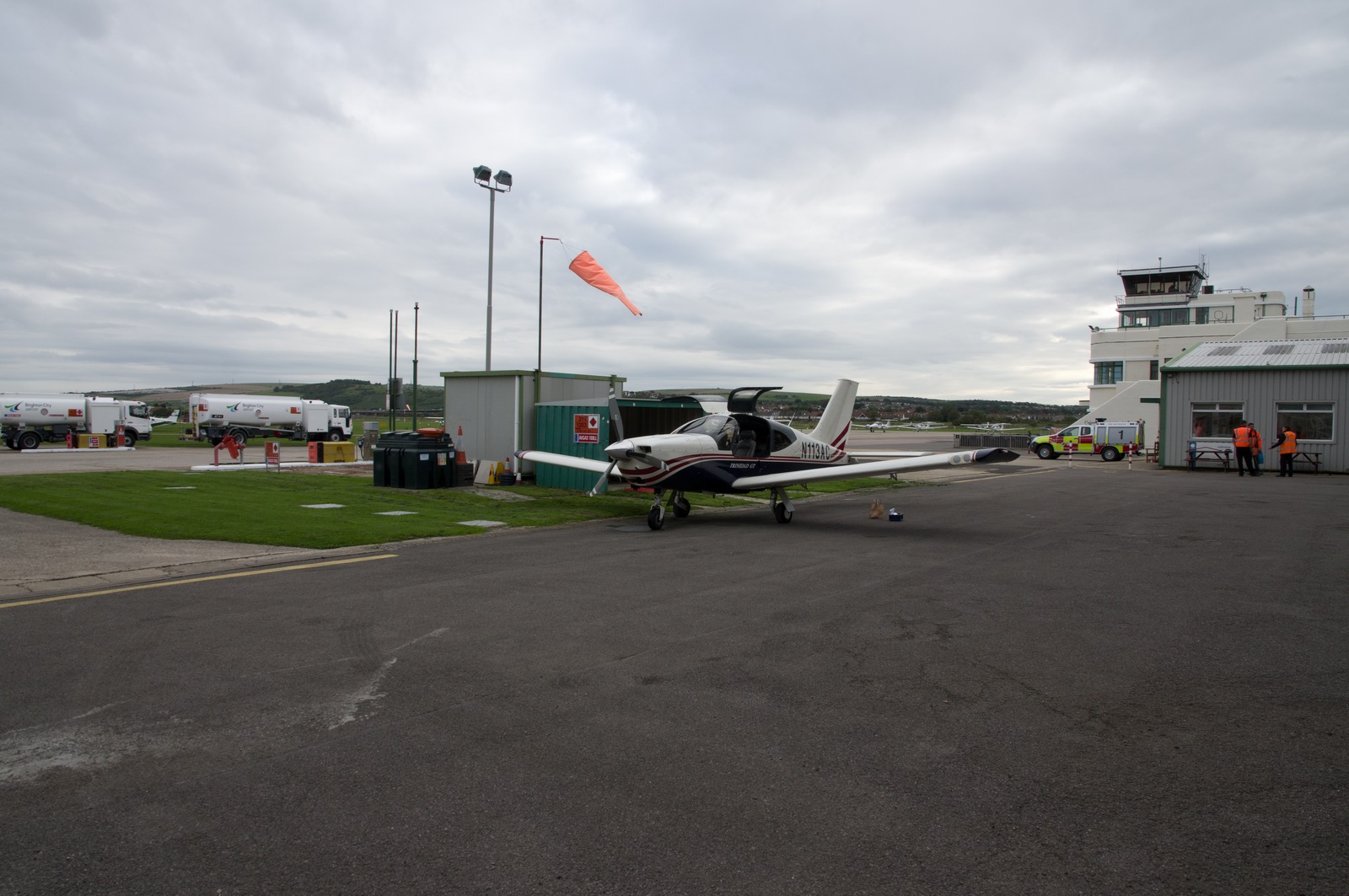
We were quickly cleared by London Control to FL110 and reached VMC at FL090, -3C
Thereafter the flight was uneventful except ... the cloud didn't look thick enough but with -4C inside we immediately collected about 1mm of ice on the way up through it
Once over France, it started to clear up
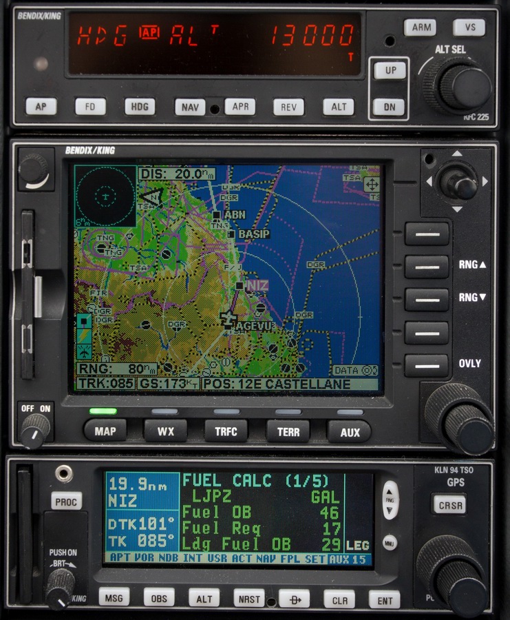
At FL130, numerous strikes were showing on the stormscope to the right of our track. Initially the tailwind was much less than expected from the forecast (5kt instead of ~30kt) but the Landing Fuel on Board (LFOB) was computed at 26 USG which at around 10 USG/hr is plenty
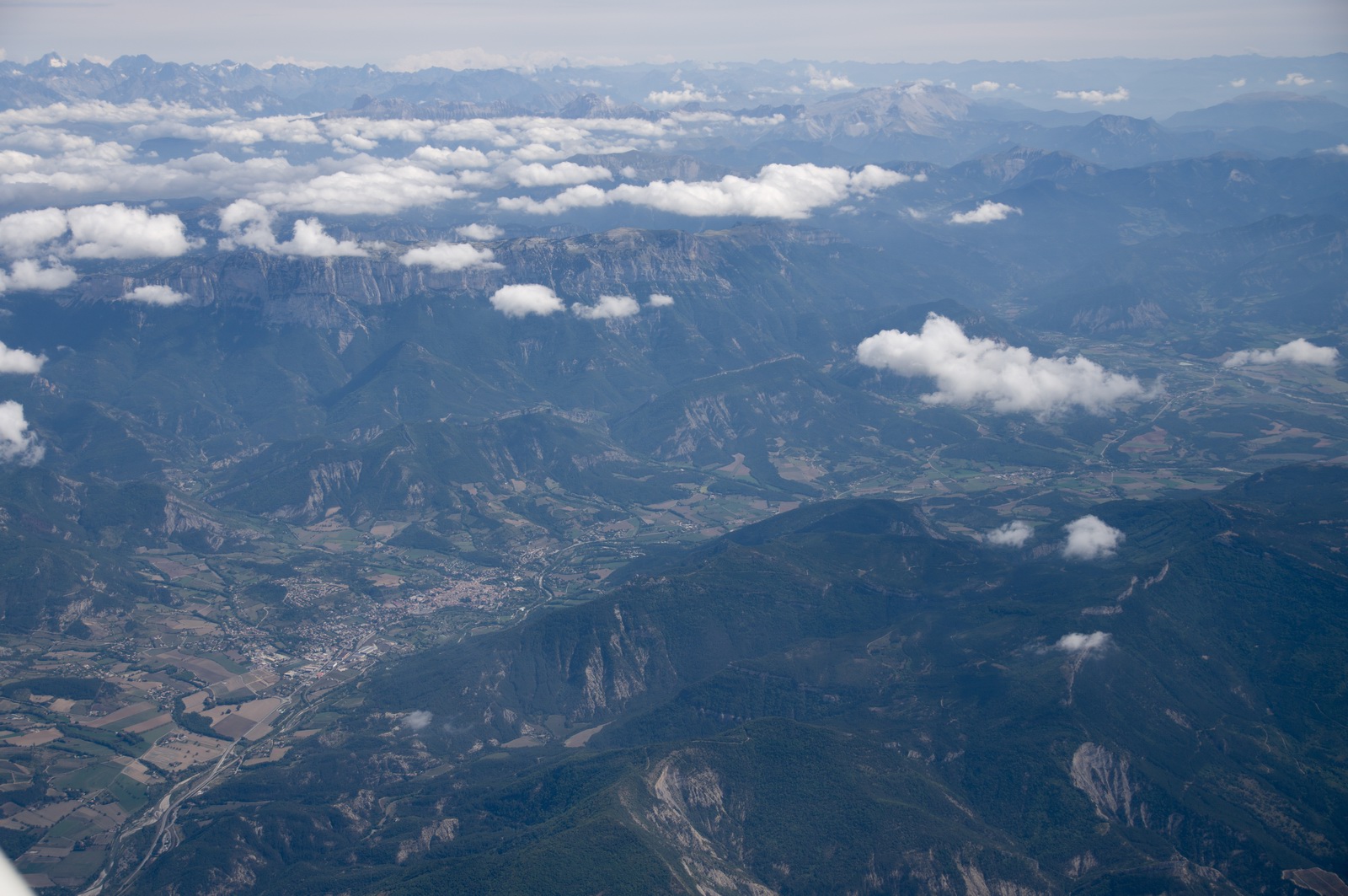
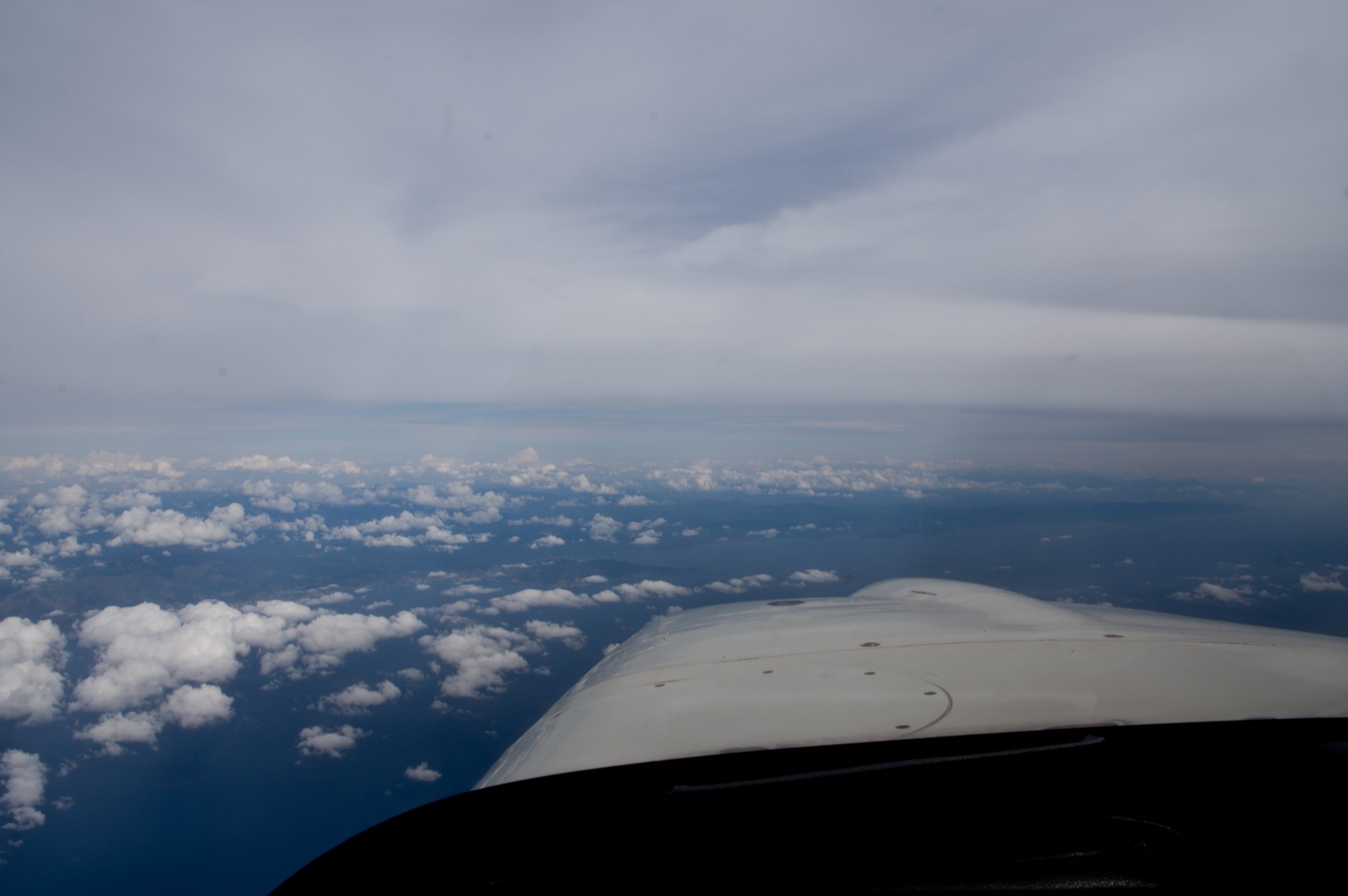
The Alps approaching on the left of the track

I really should write down some place names, so I can annotate these photos... The Pentax K3 DSLR camera which I normally use in flight has no GPS. There is a hotshoe GPS adaptor but it fails to get a fix most of the time during flight...

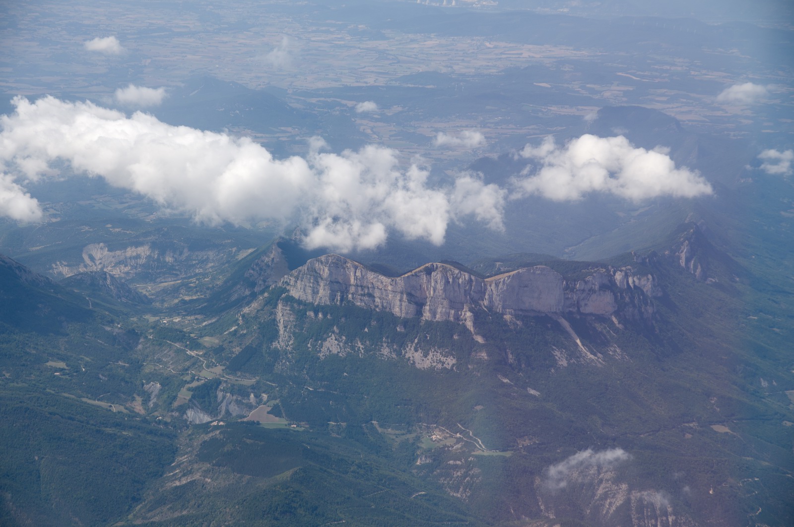
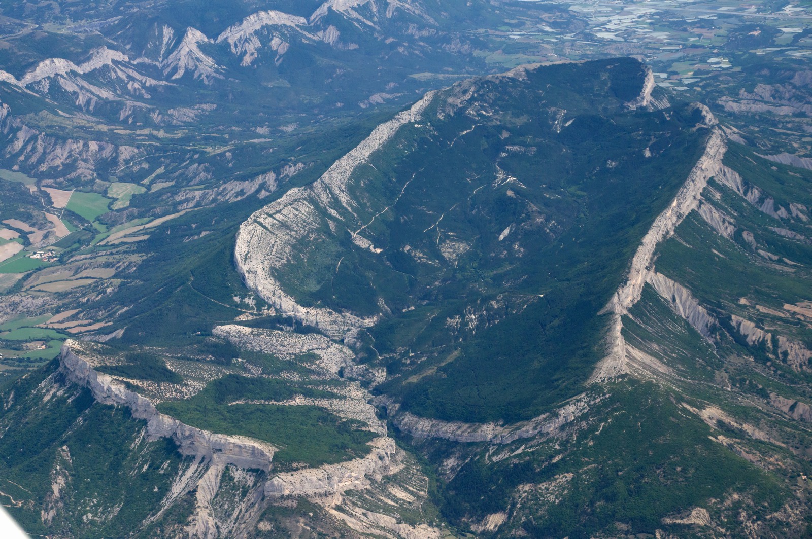
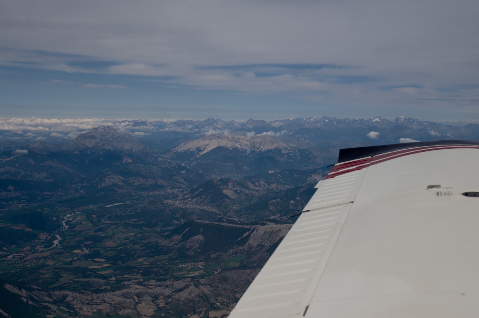
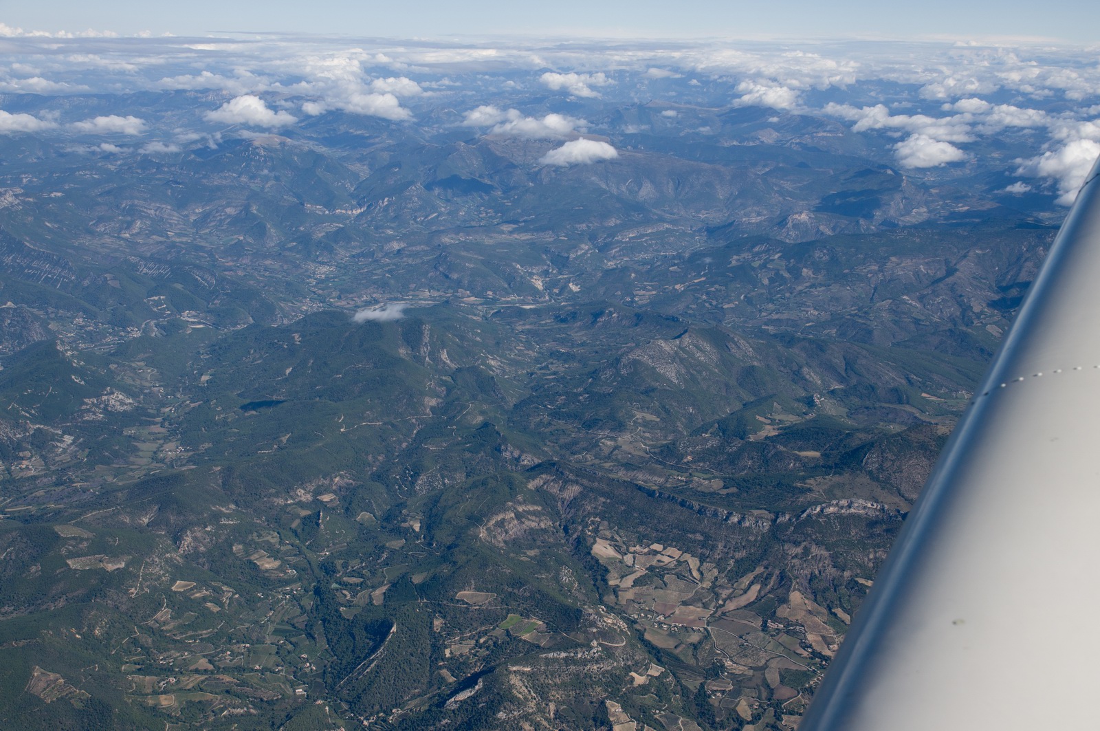
There are many really interesting rock formations in SE France
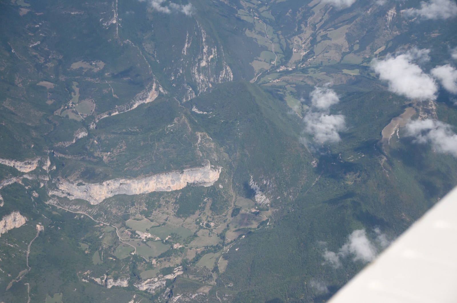
This I believe is the Vercours area
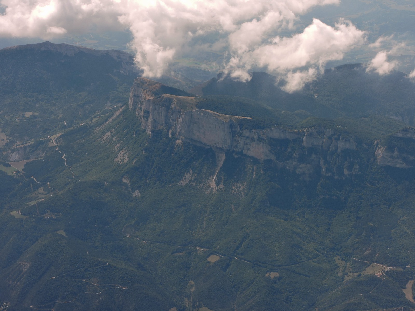
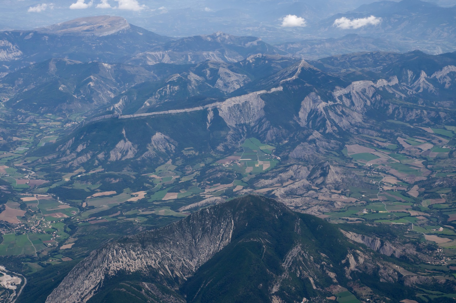
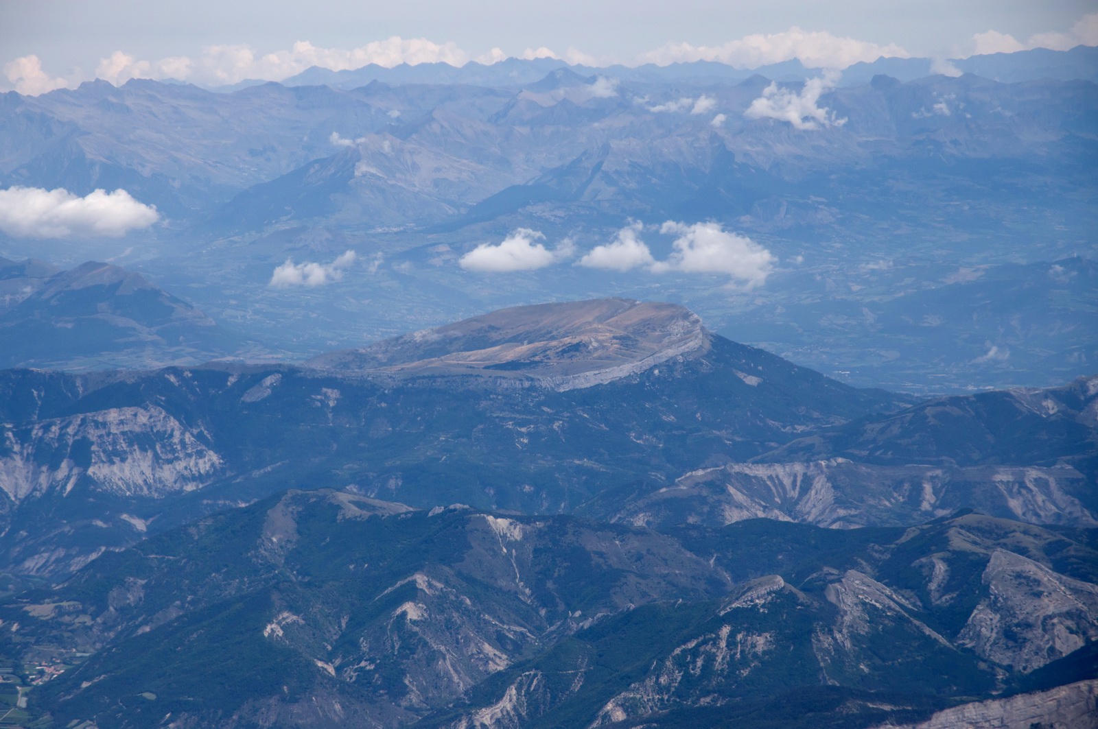
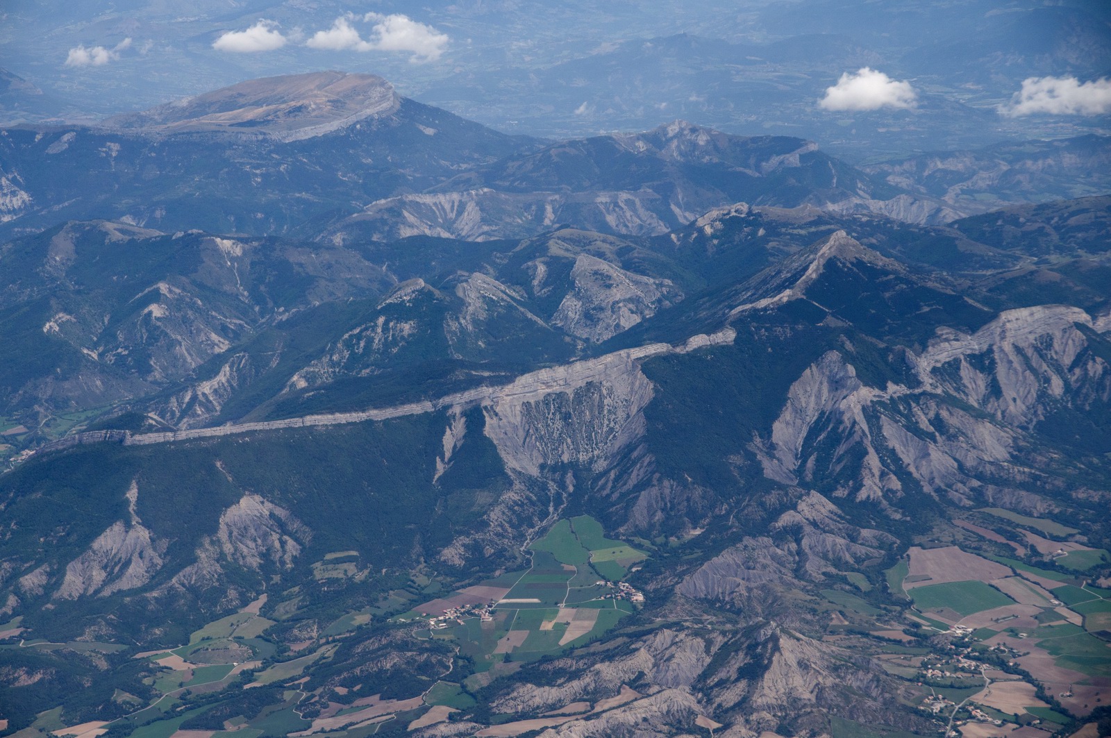
This unusual formation is situated north-northwest of Sisteron and called La Montagne de Saint-Genis. In geology the term Synclinal Formation describes it the best. For French speaking enthusiasts, here and here
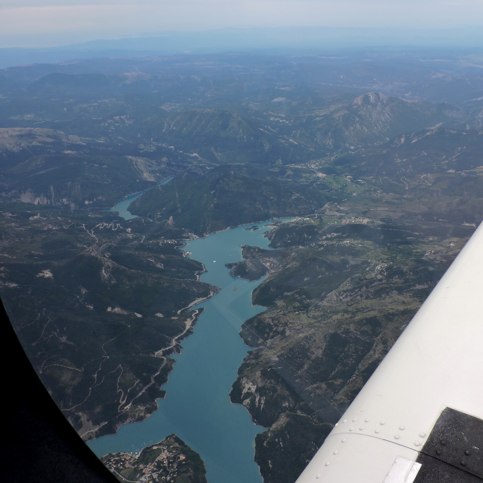
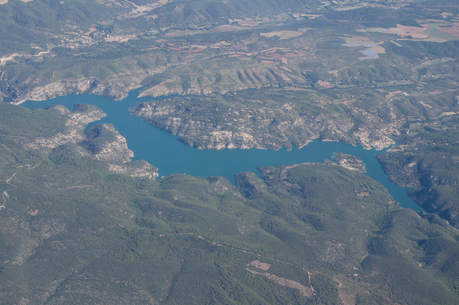
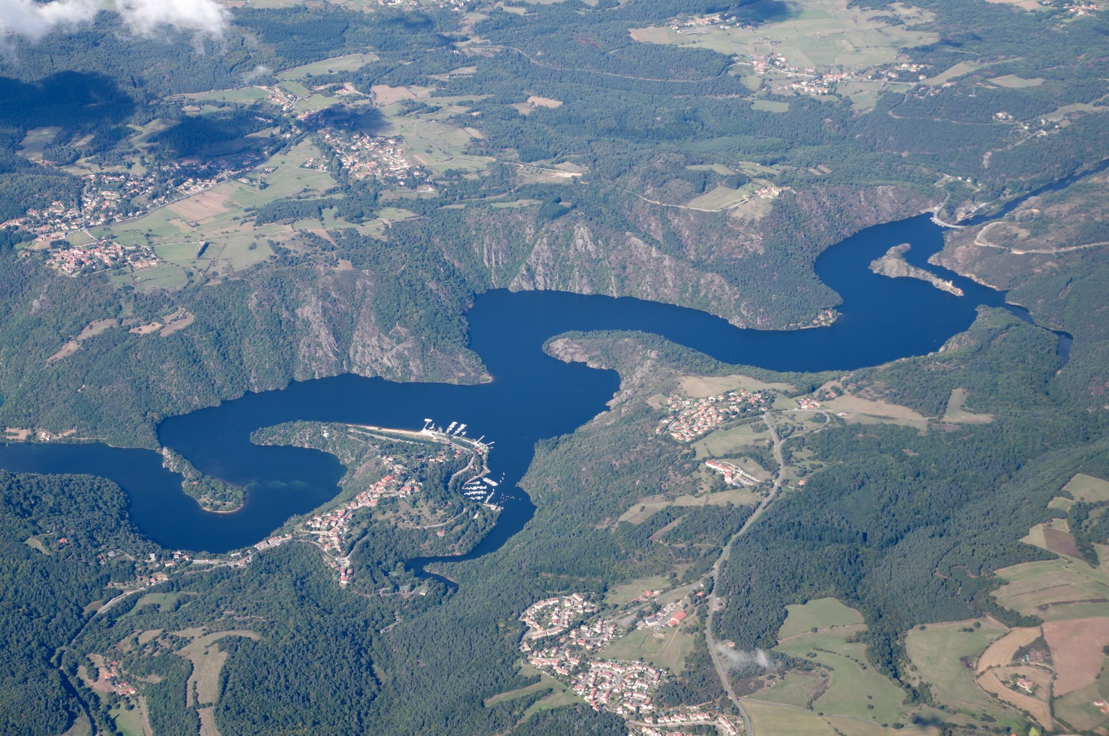
Lac de Castillon
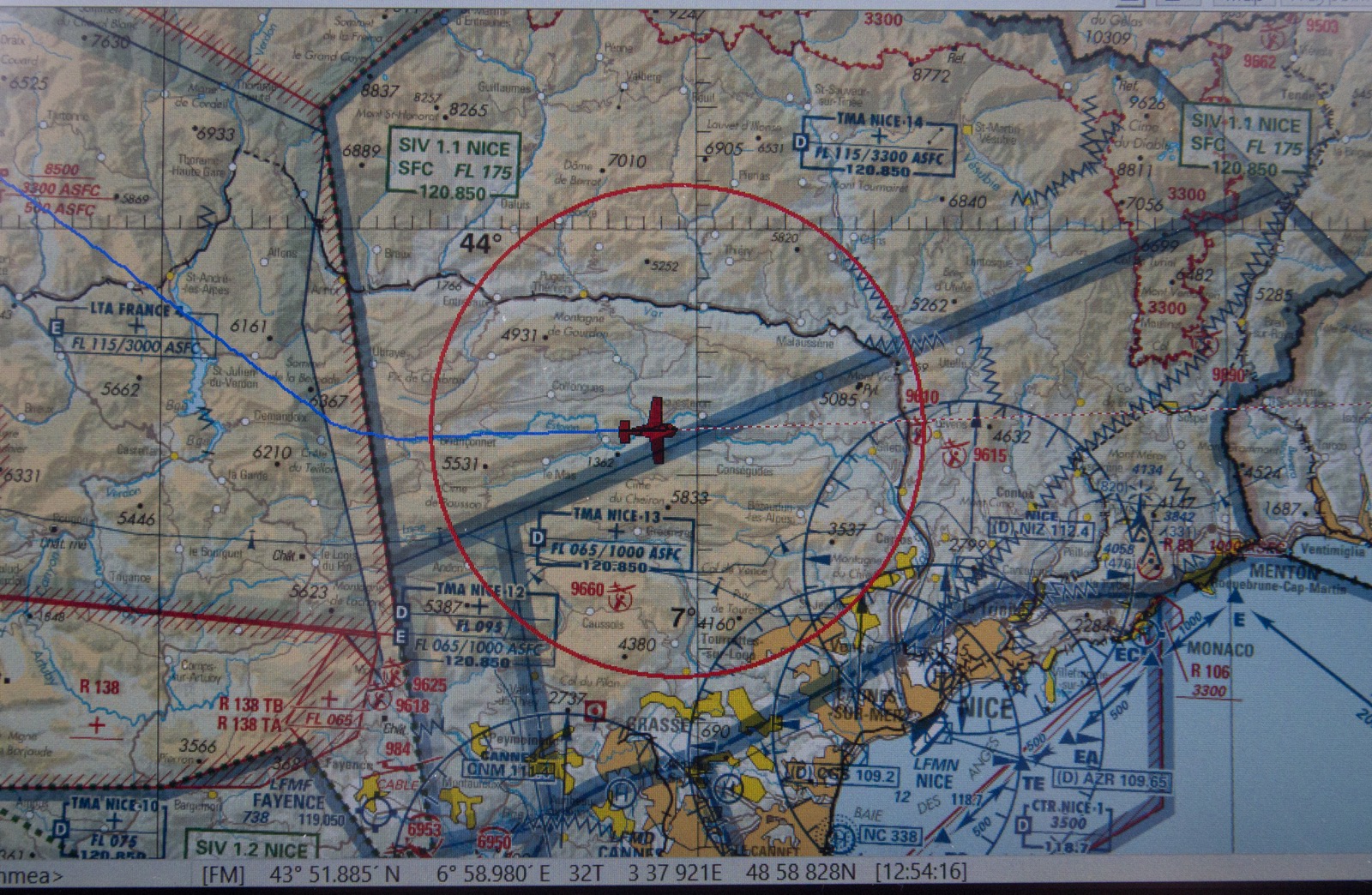
At this point Nice gave us a 090 heading. We were only at FL130 and they normally want FL150 for crossing traffic. Like a number of other countries, France fails to inform Eurocontrol of many of their airspace restrictions, so many flight plans validate OK but cannot be actually flown. French ATC is normally very helpful but Nice is a huge exception where they are 100% militant and work-to-rule... The TB20 can easily climb to FL150 but by the time one realises, it is too late because Nice ATC will not allow any climb, presumably in order to drive home the point! The same happened to me on the final leg of this trip - Bastia-Shoreham...
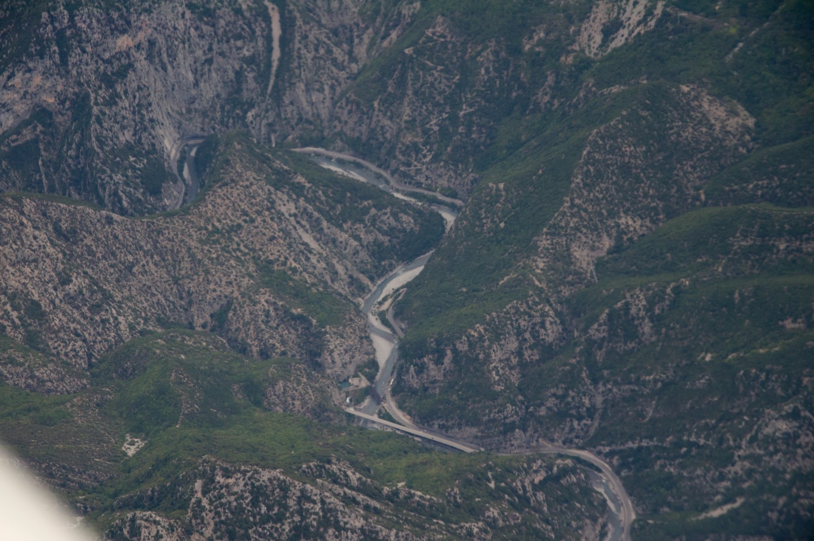
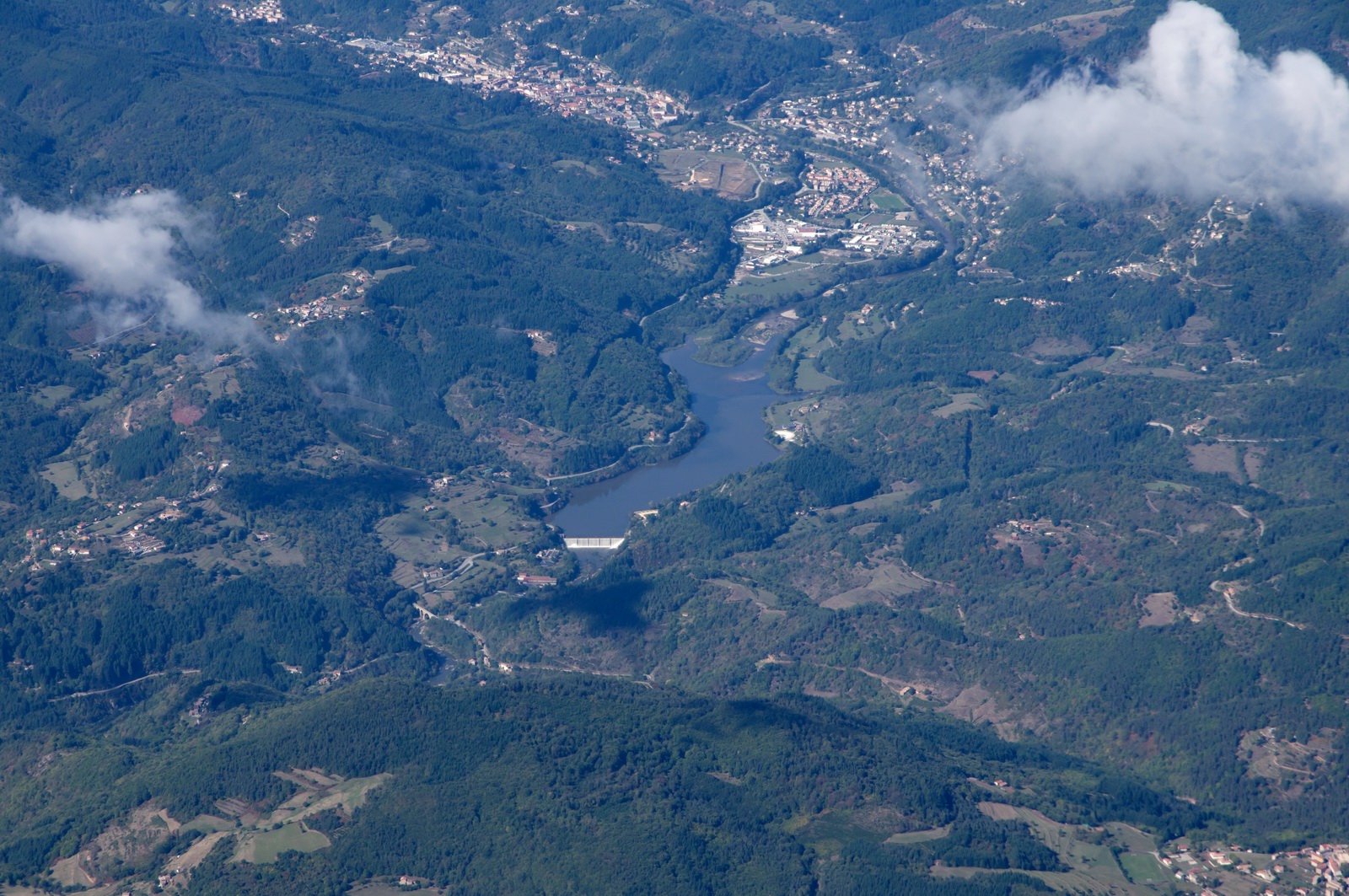
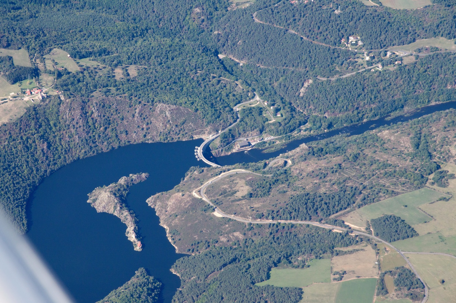
A river at the bottom of a deep canyon
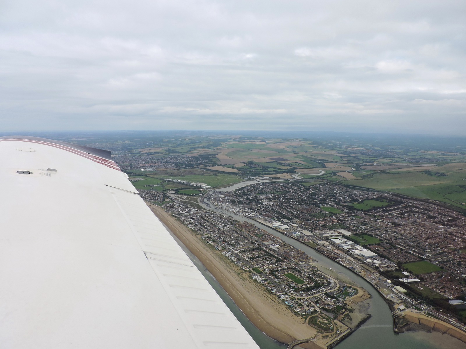
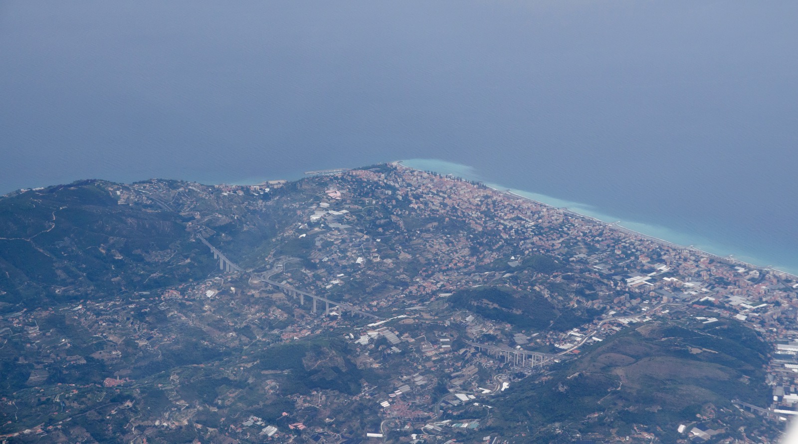
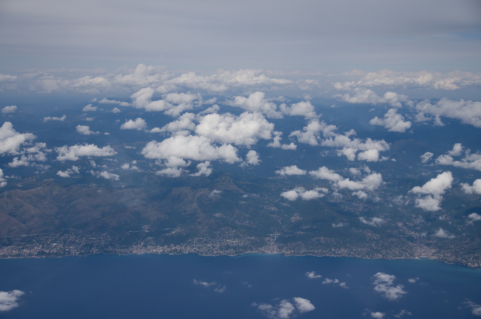
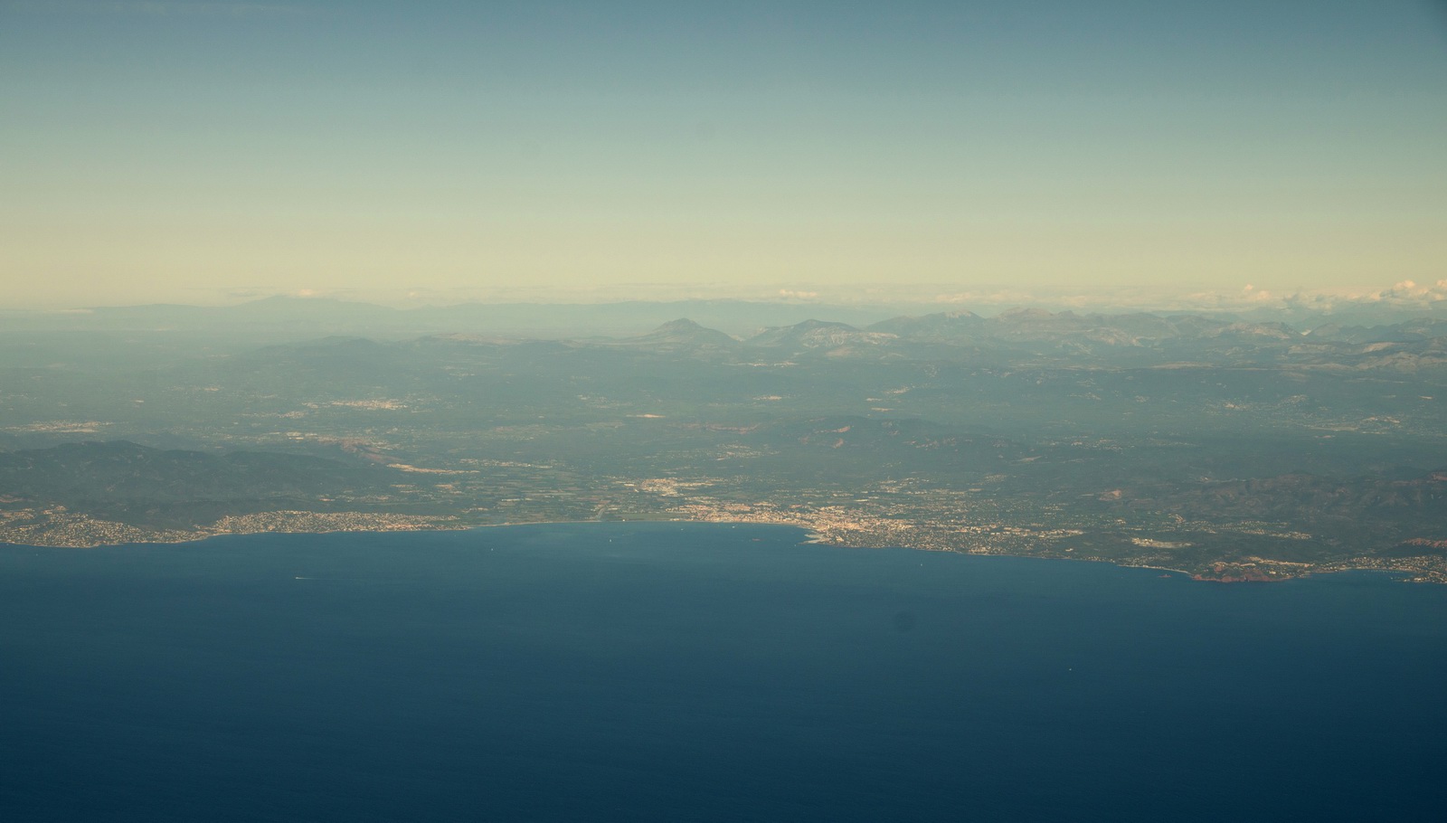
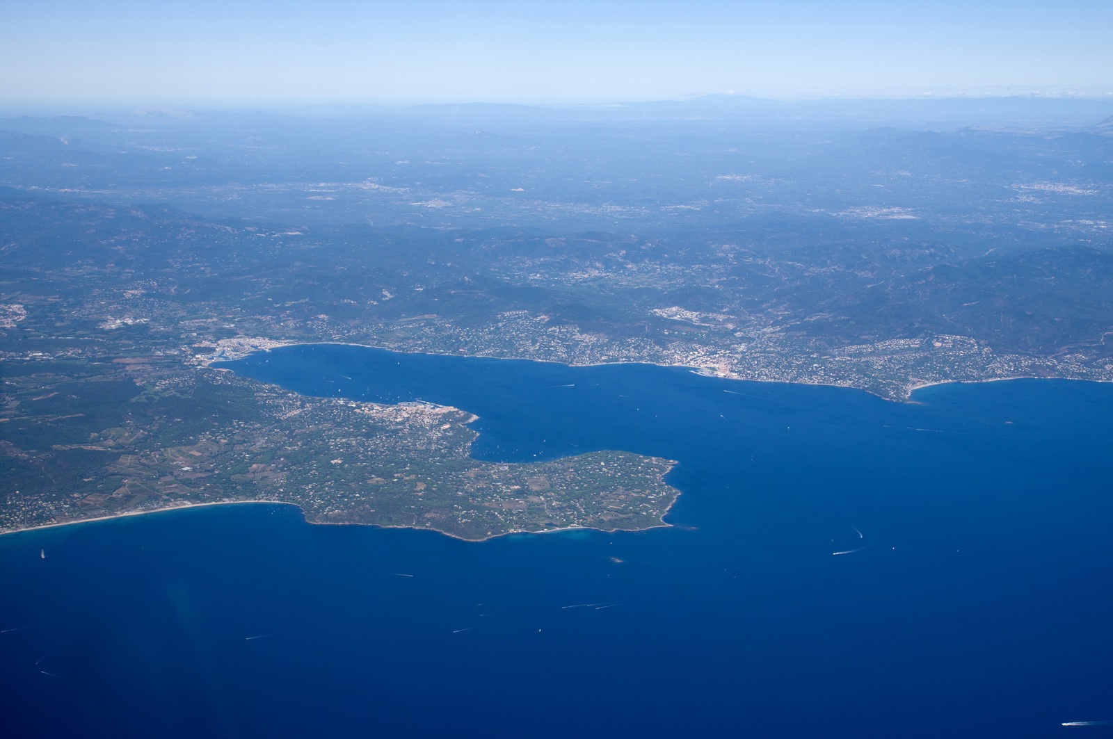
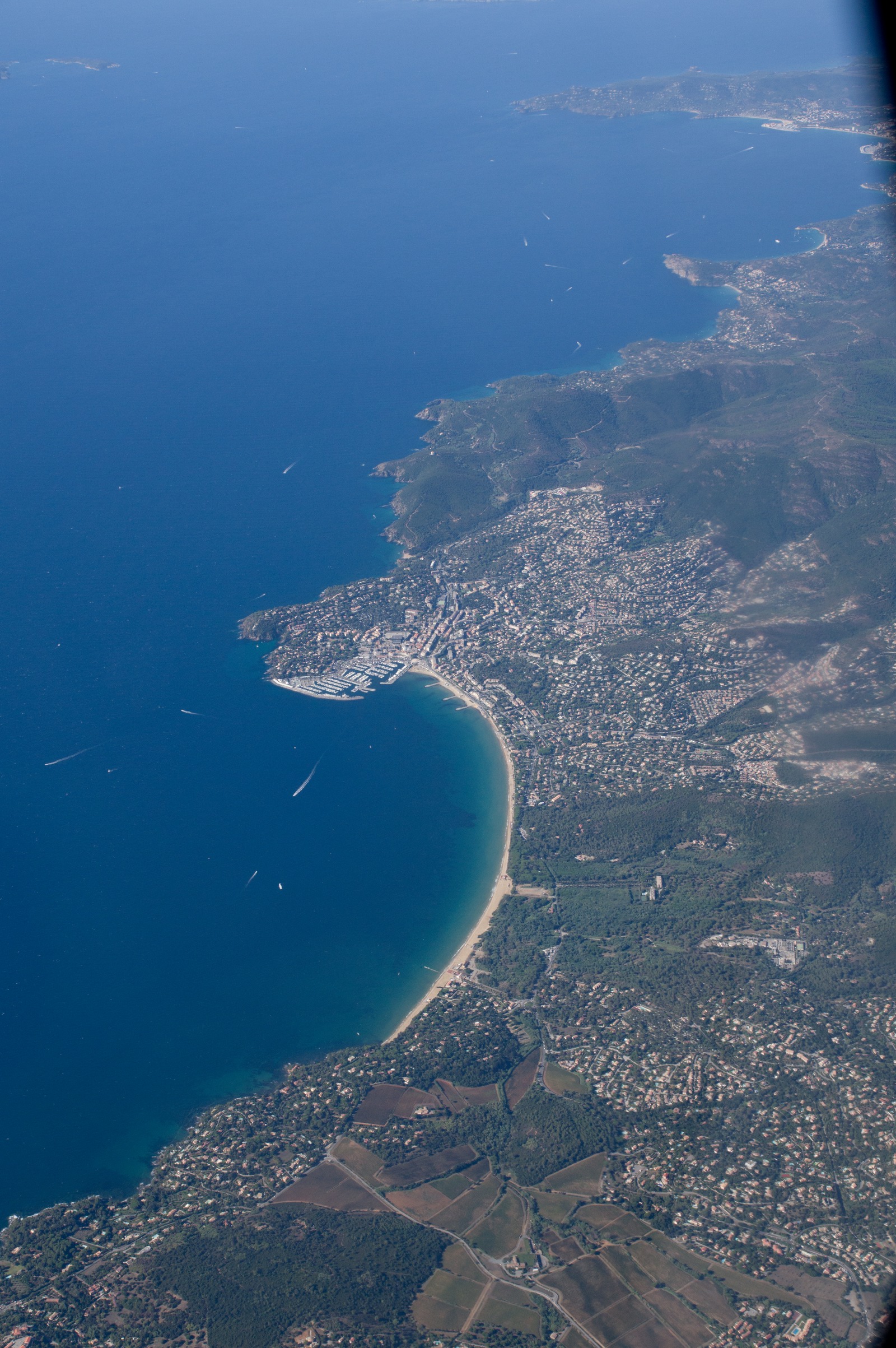
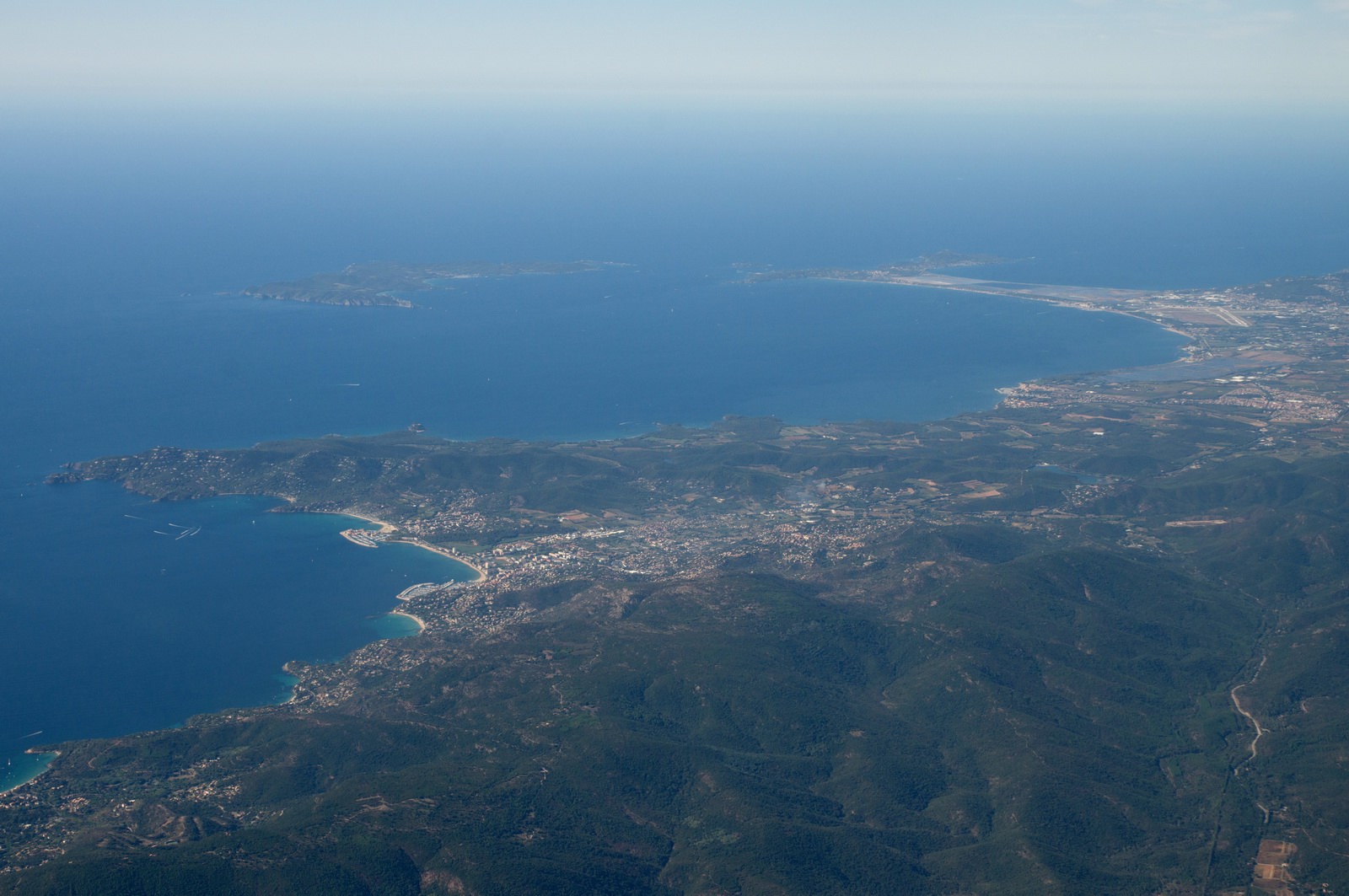
Having crossed the south coast of France, this is the Riviera. Bordighera, Italy:
San Remo
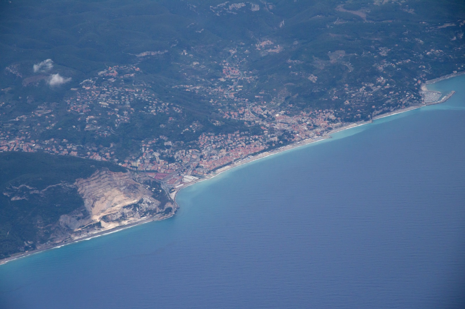
Finale Ligure
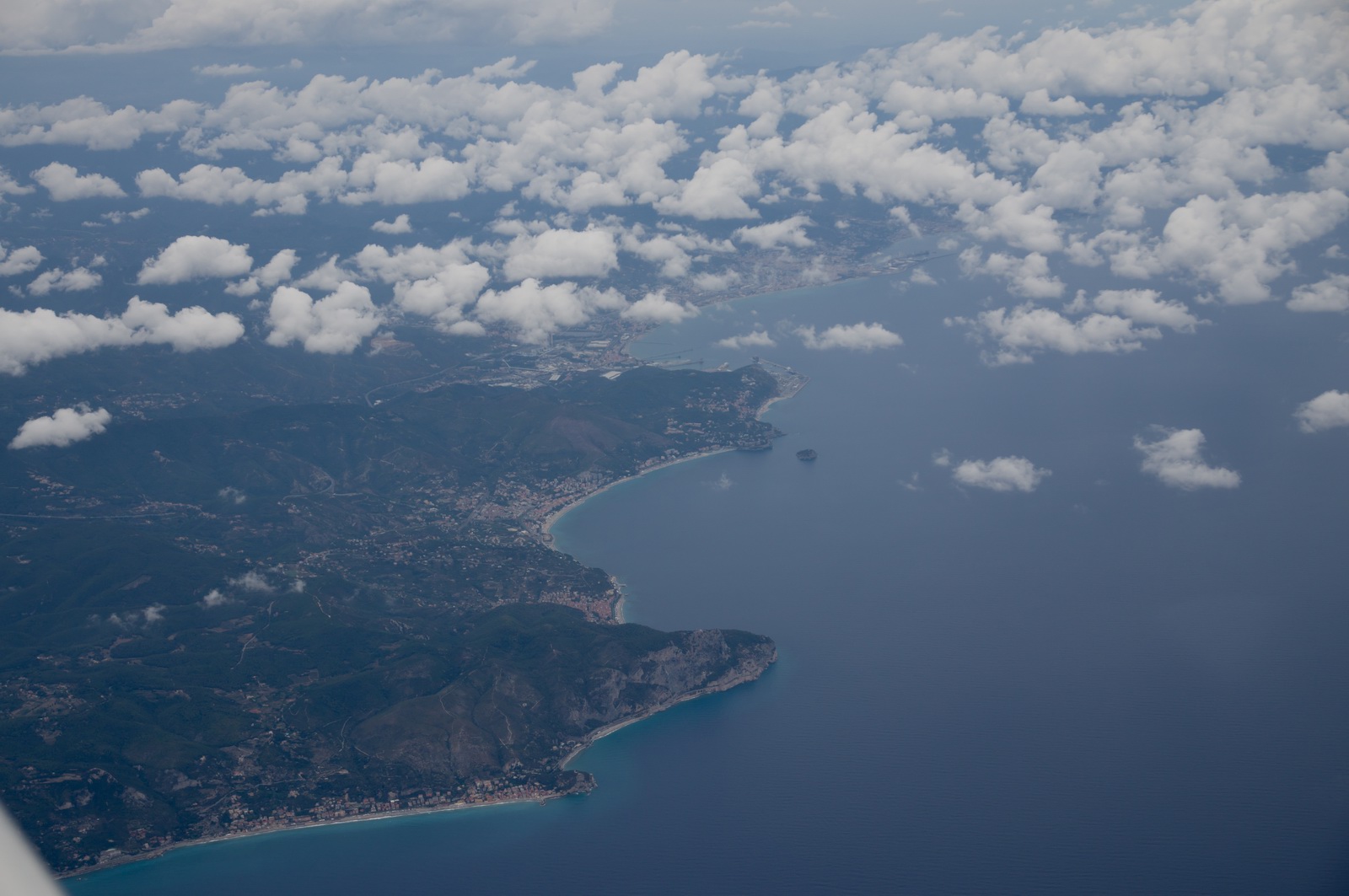
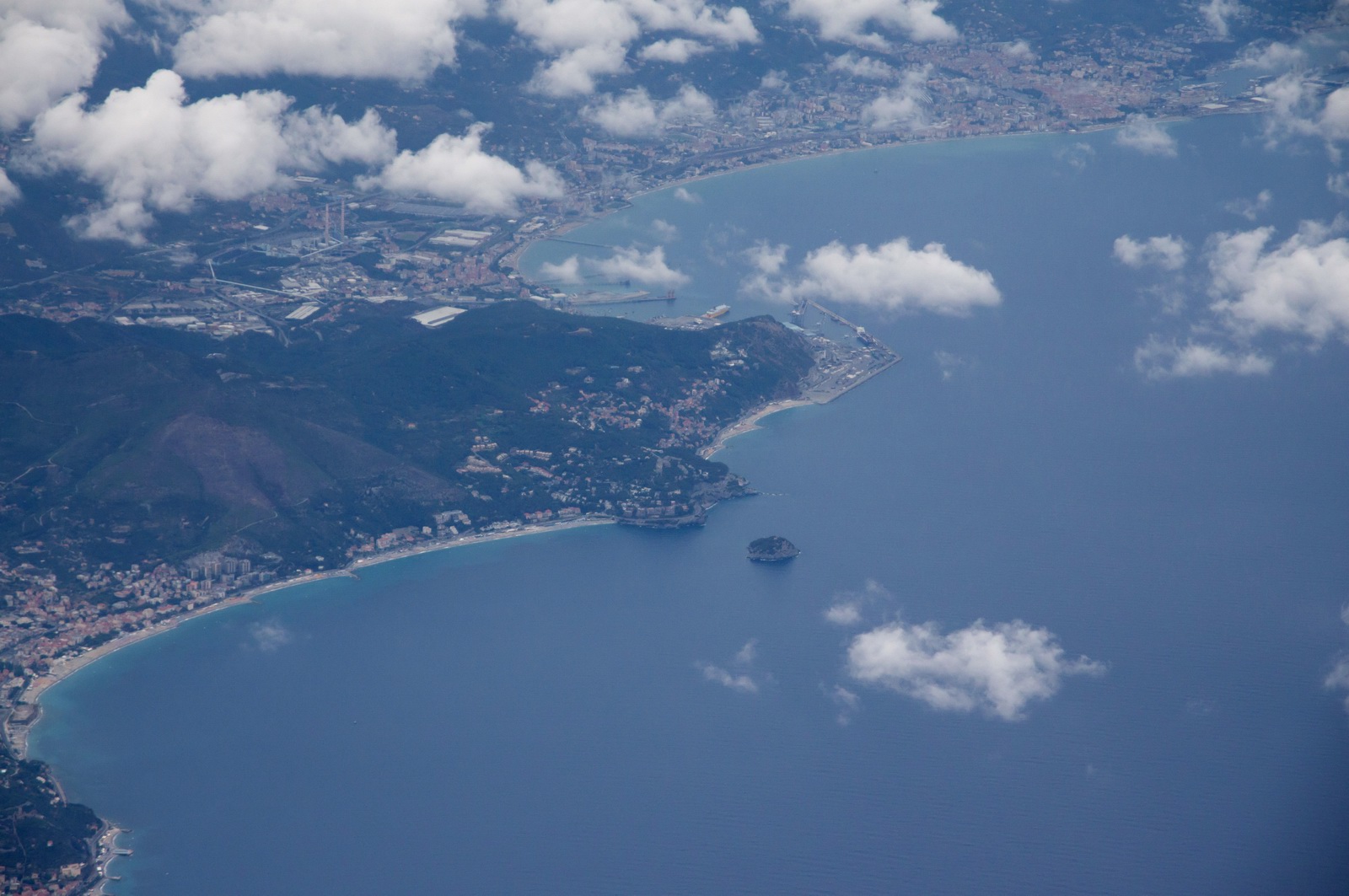
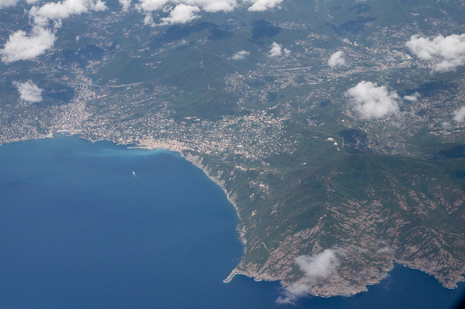
Spotorno with very small Isola di Bergeggi
Vado Ligure with Savona in the background; 2 prominent chimneys you can also see from the highway driving by car. I flew here at 500-1000ft on the trip to Lucca in November 2014
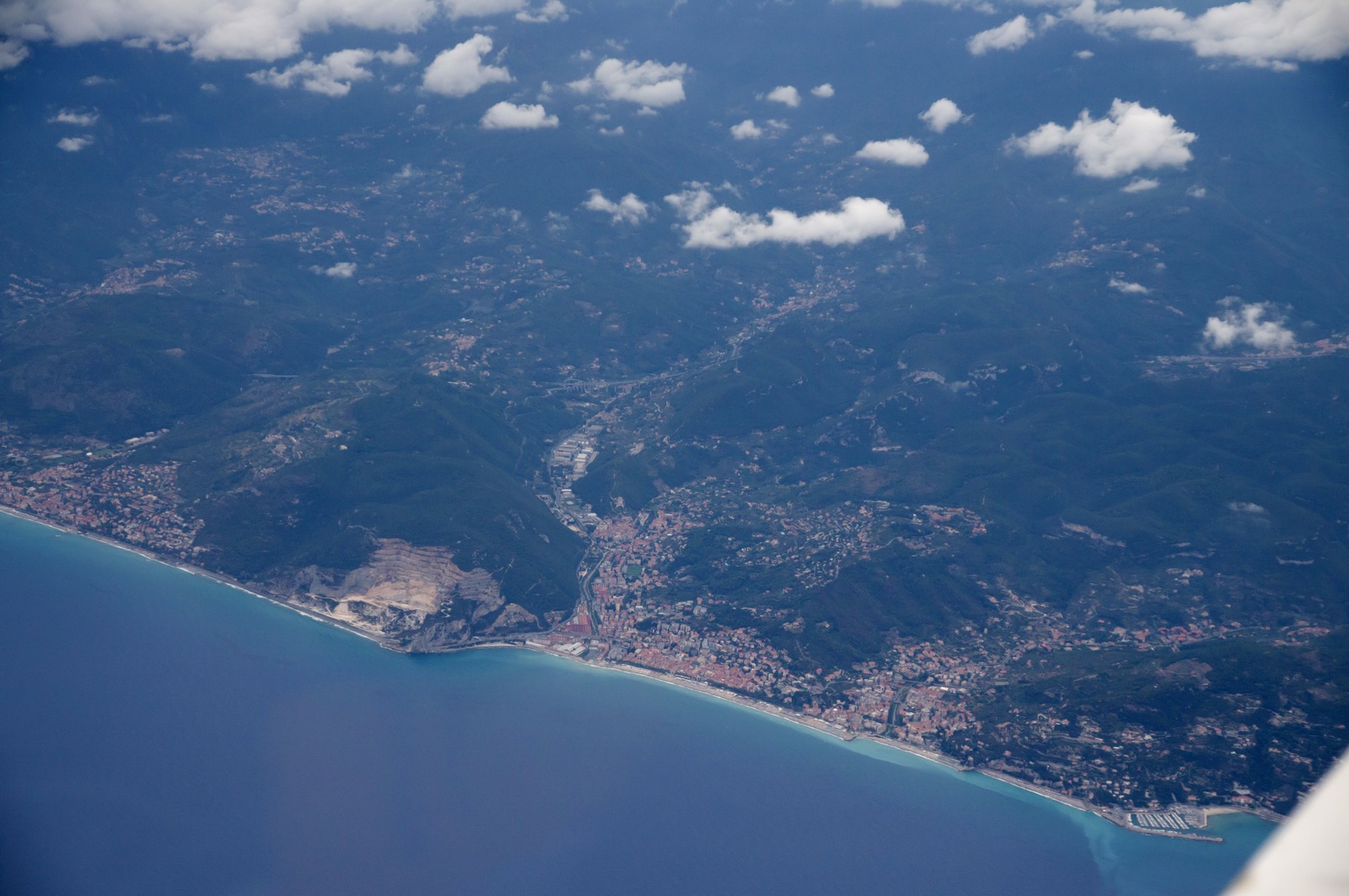
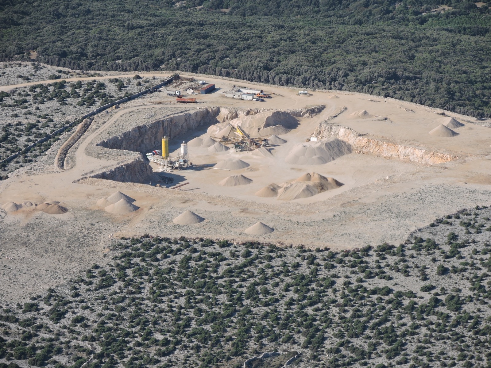
Again, Finale Ligure with the quarry
By now the tailwind improved to about 20kt which was most welcome and it made the flight a lot shorter than it would have otherwise been.
I checked the destination and alternate airport weather over the Thuraya XT satellite phone connection, with the satphone connected to the Lenovo T2 tablet via USB. It's not the neatest system - the Iridium based products are much cleaner - but its 50kbits/sec it delivers a much higher data rate than Iridium, offers a full internet service, and at $6/MB it is way cheaper than anything else.
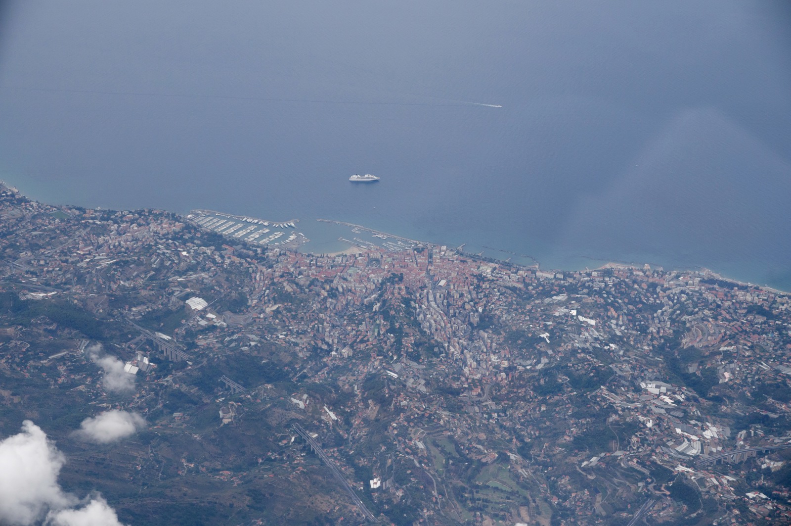
Recco and Camogli; on the mountain you can see the Camogli NDB mast
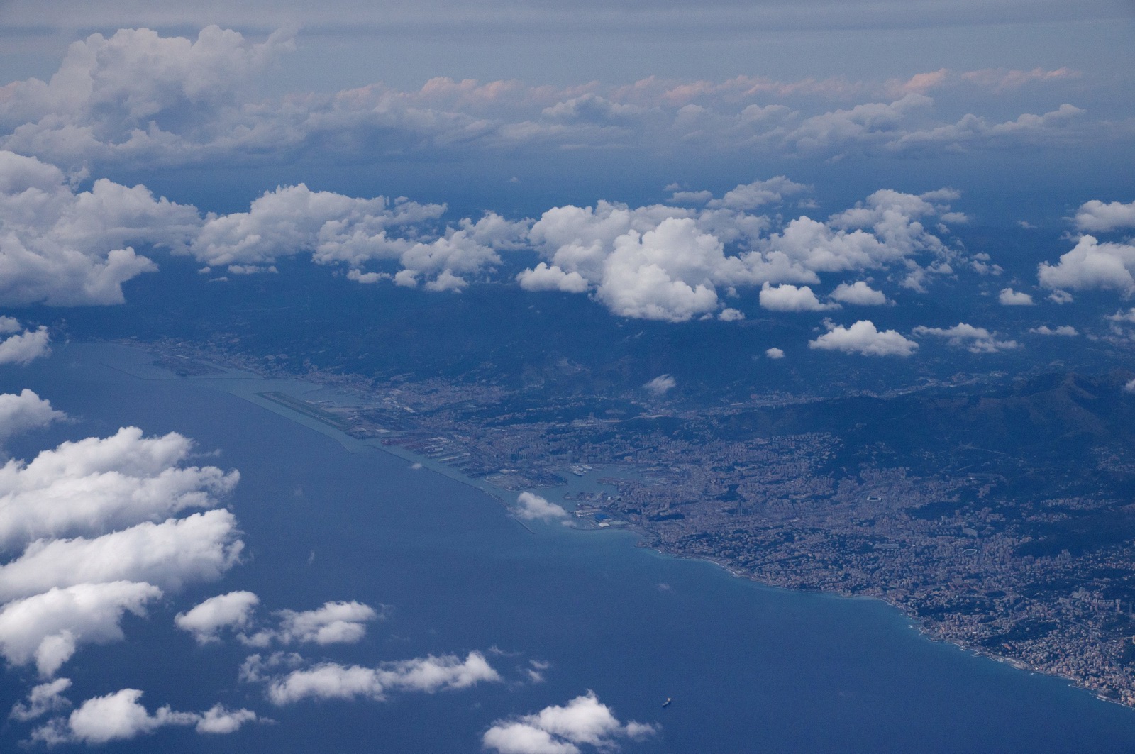
Genoa, with its airport on the sea
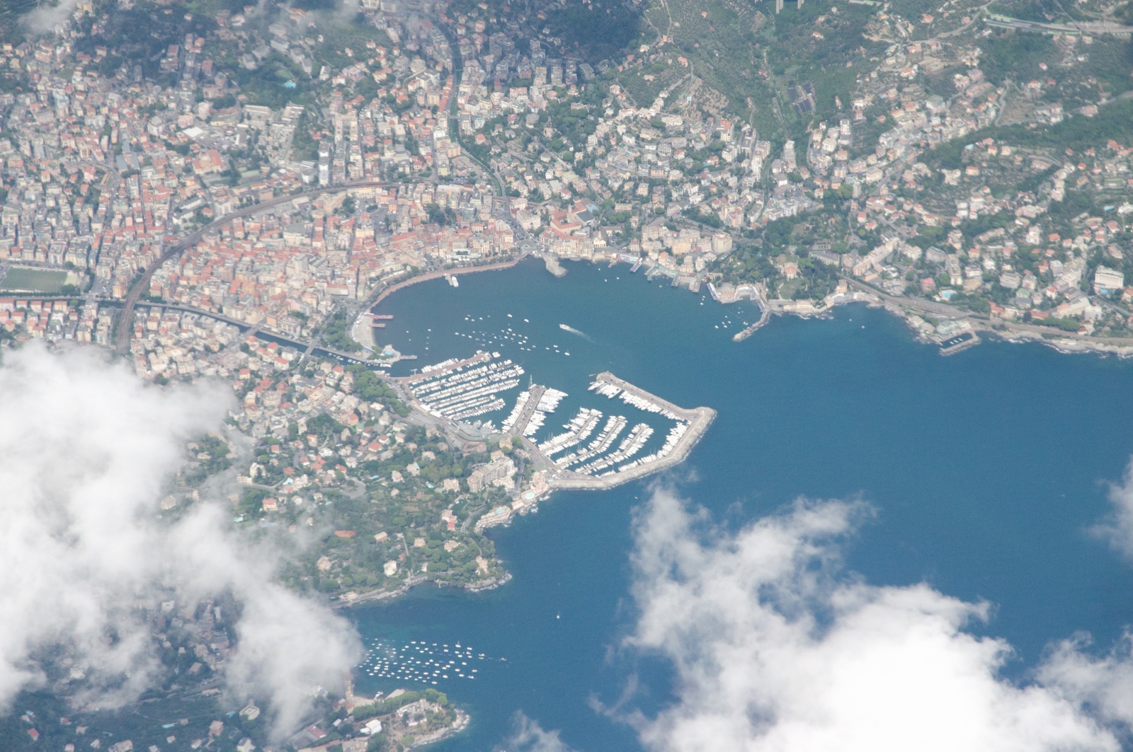
Rapallo
We are now crossing the mainland of Italy. Padova Radar wanted us to climb from FL130 to FL140 from here, all the way to ROTAR which was the airspace boundary with Slovenia. This is obviously pointless but it is some rule Italy operates in this area... There were some buildups however so we would have had to climb a bit anyway

The stormscope was again showing lightning to the right of our track - right where the sferics image saved at the start of the flight was showing a storm
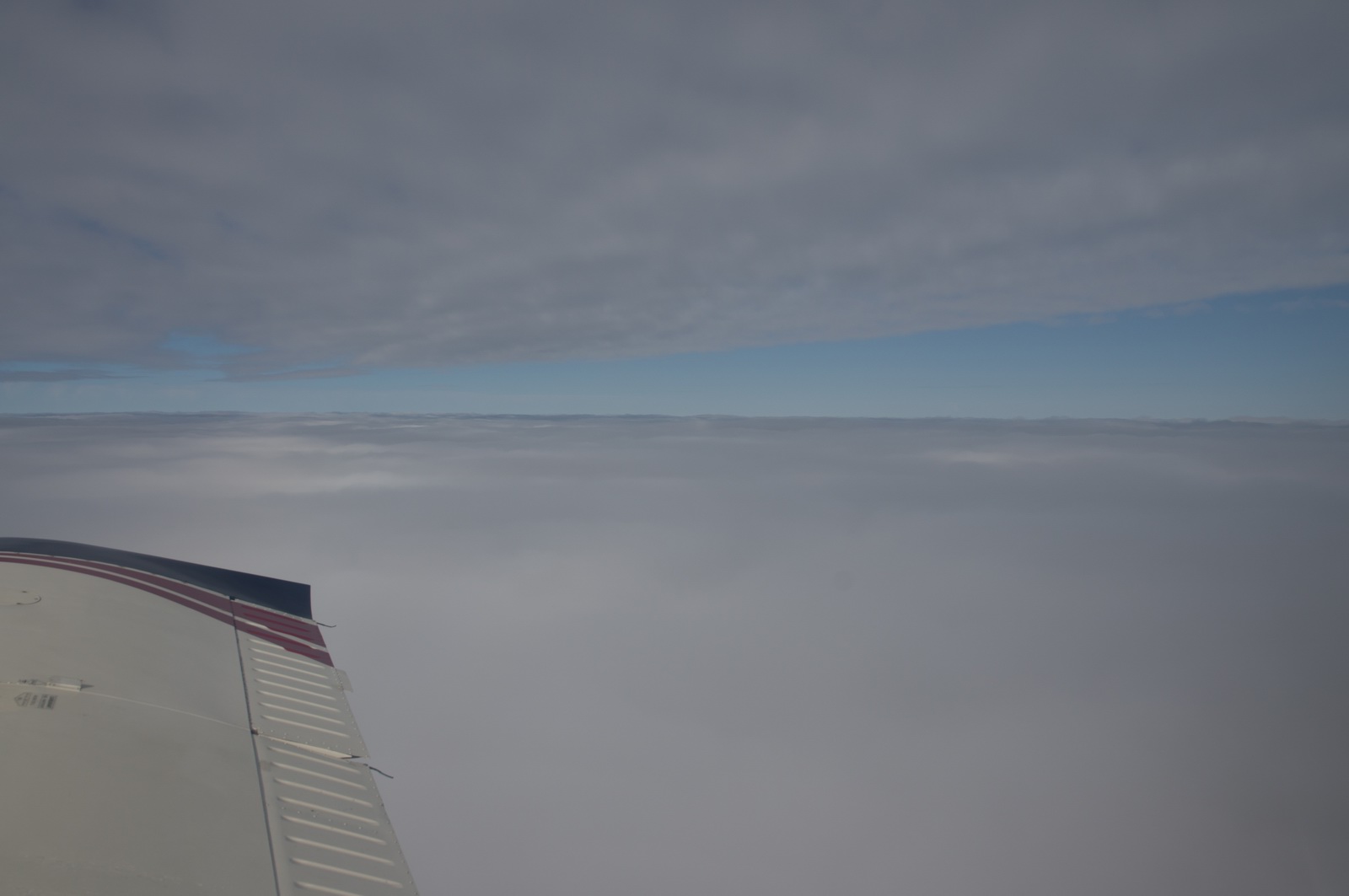
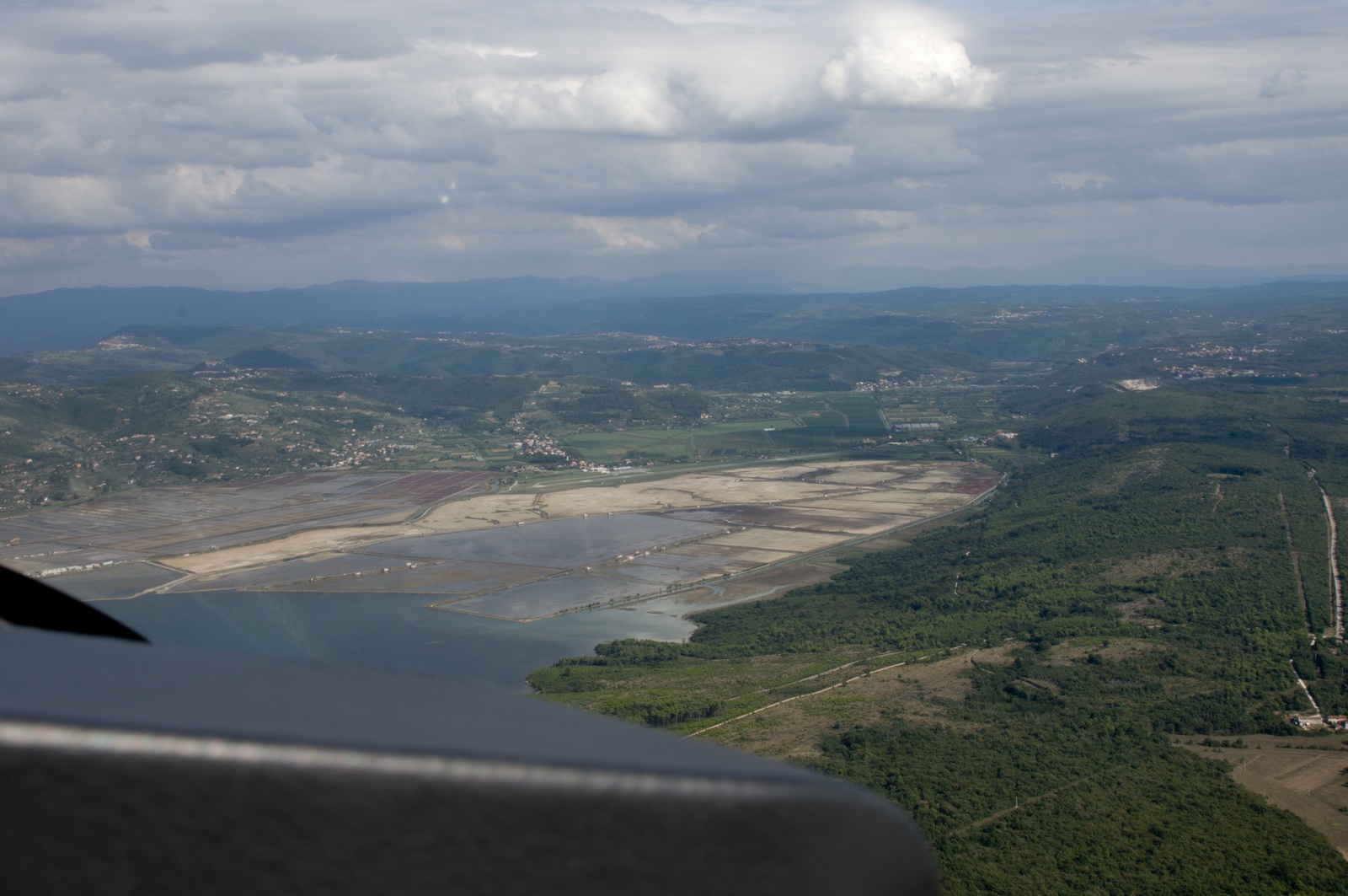
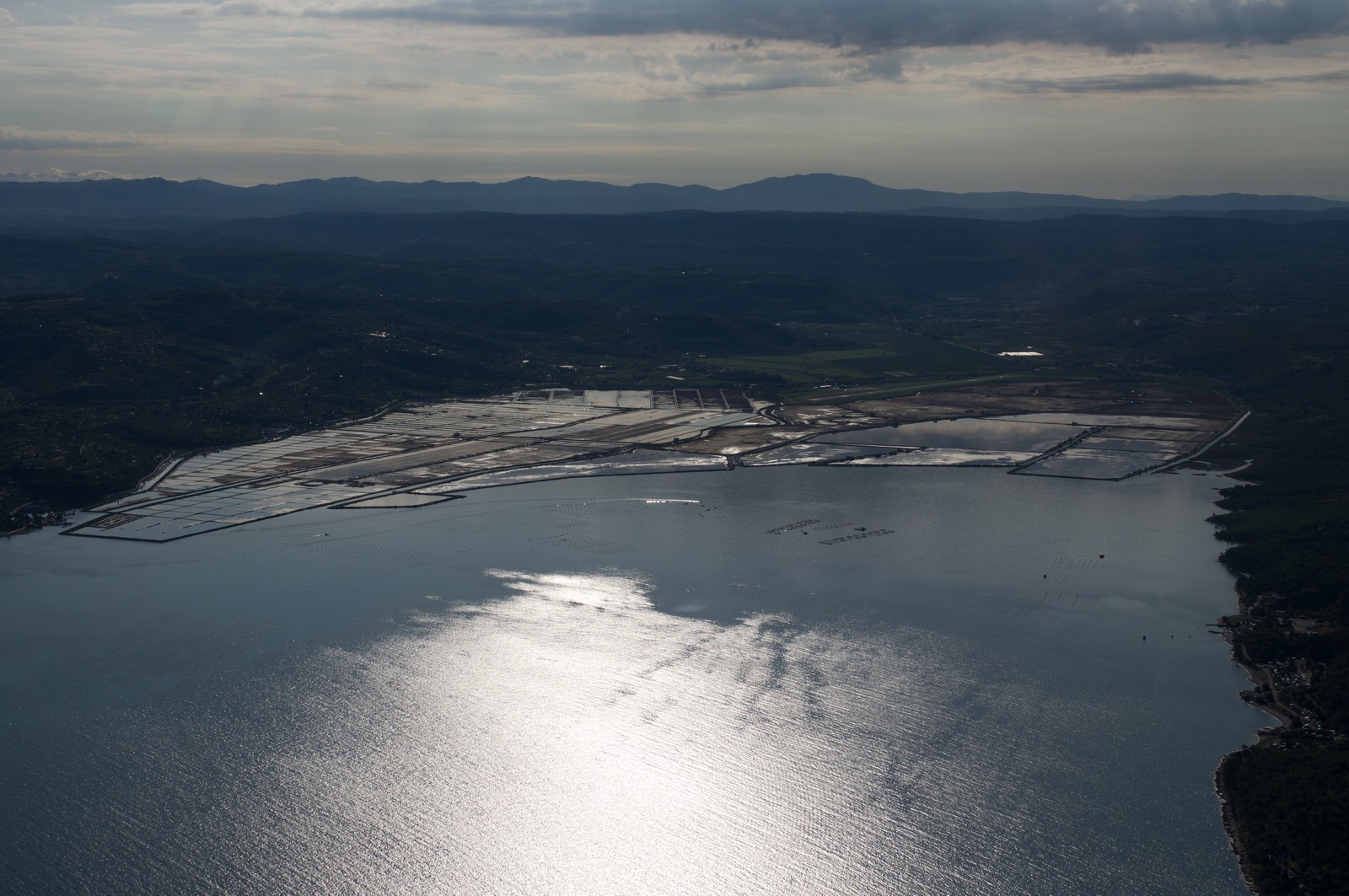
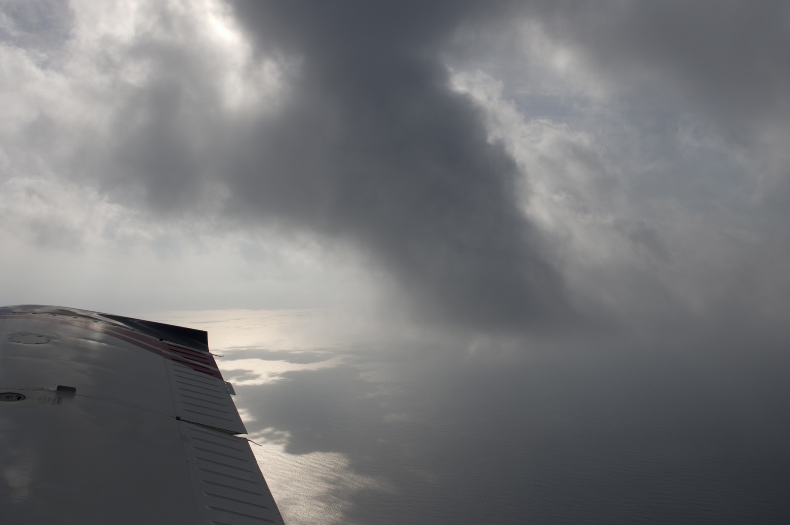
Finally, the coastline of Slovenia and Croatia
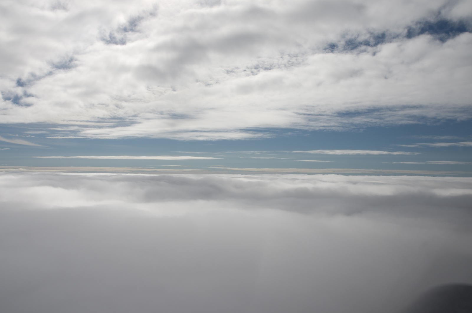
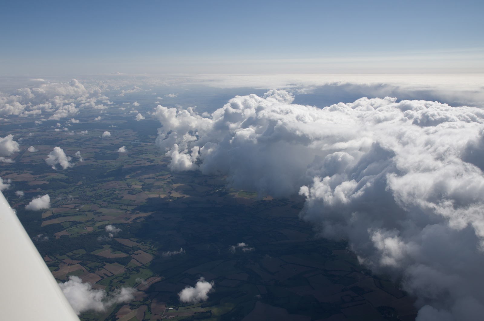
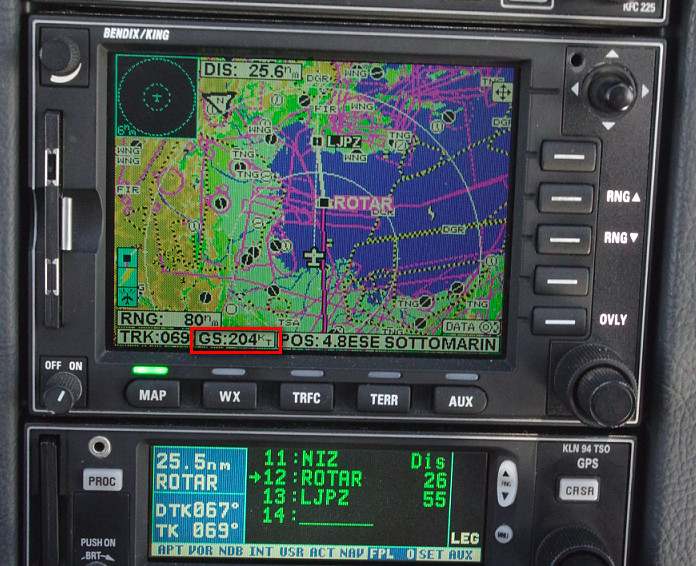
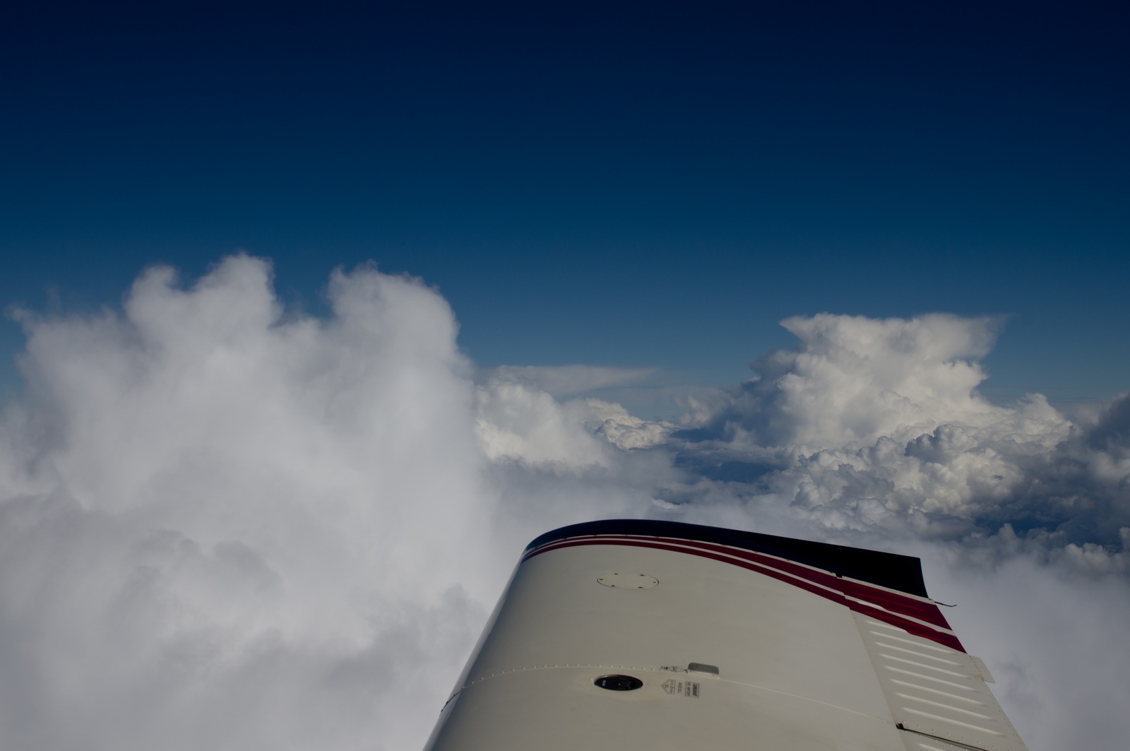
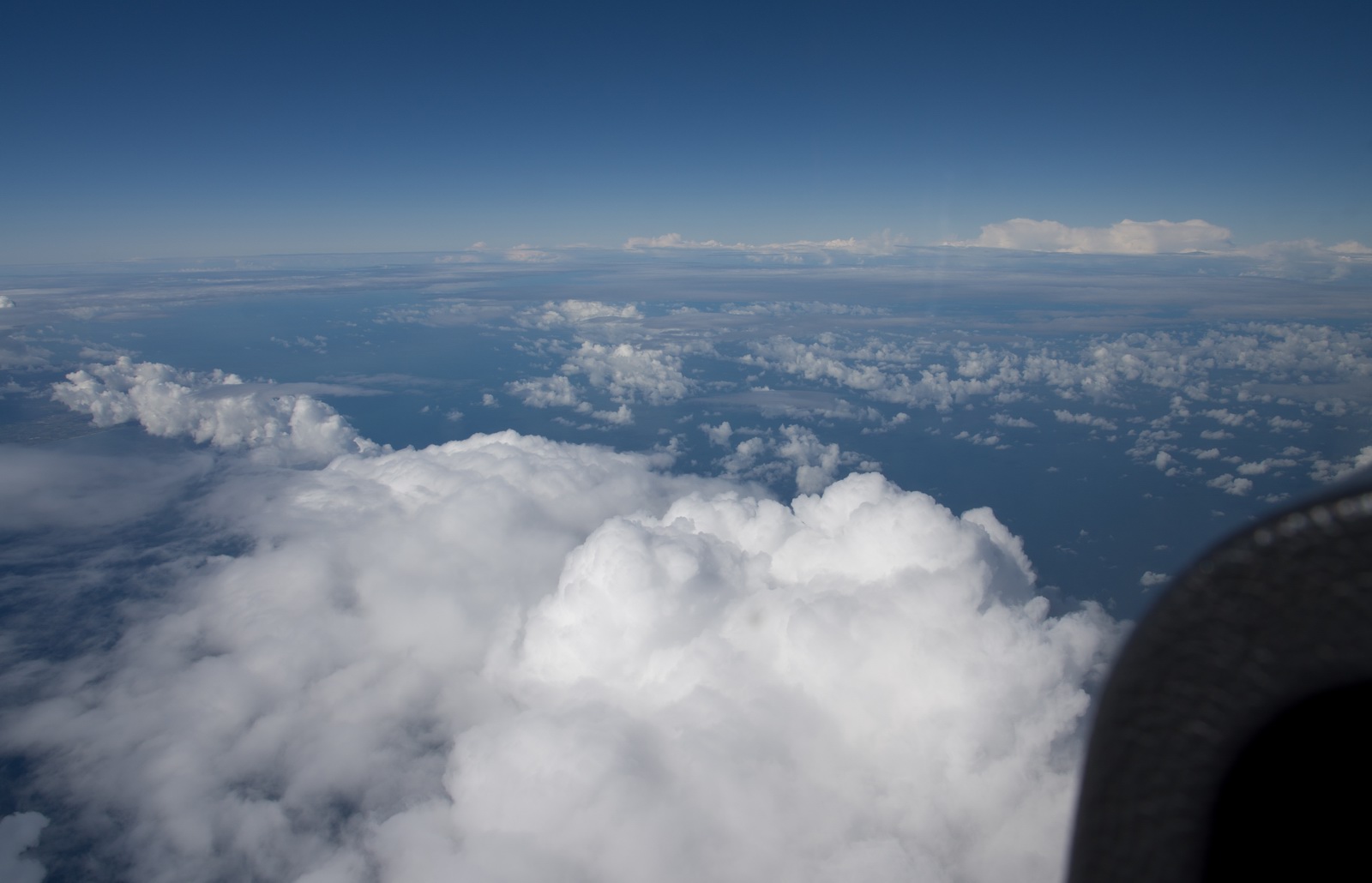
There were some big buildups north of Slovenia, with tops estimated FL200-250. They had sizeable gaps in them, however
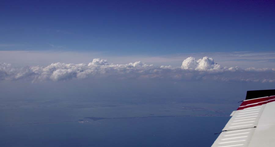
An excellent ground speed in the descent ![]()
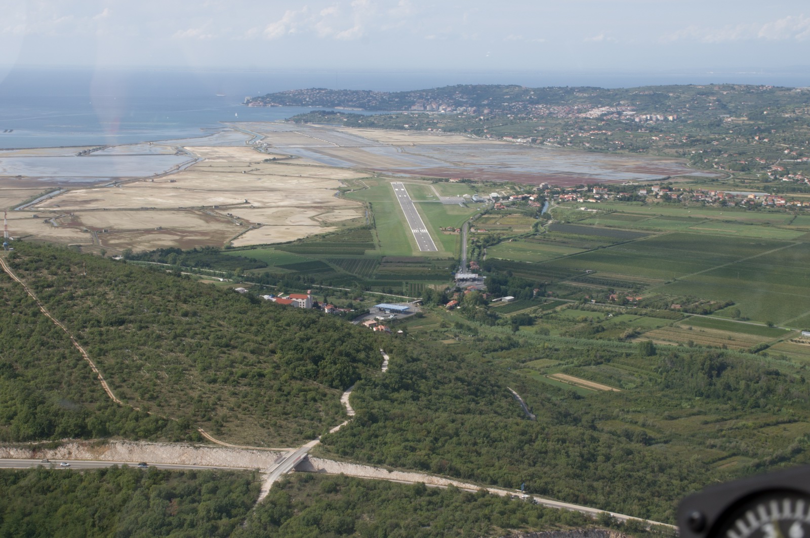
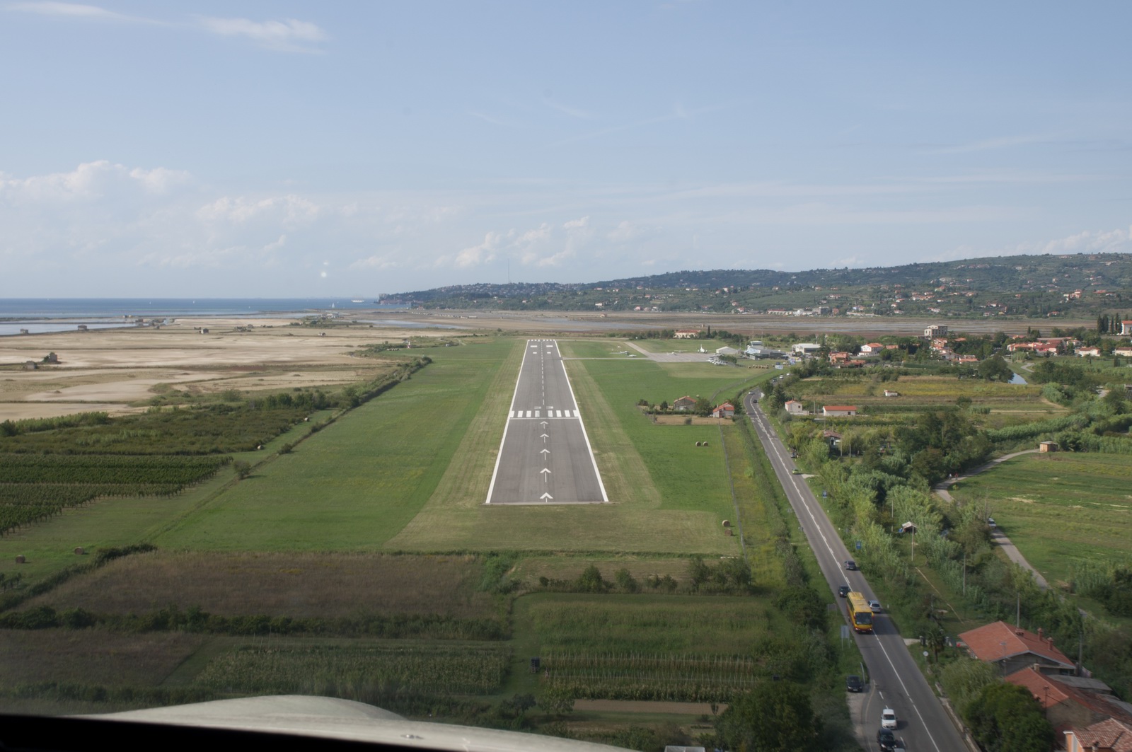
The Portoroz runway is visible just behind the sandy area. We got cleared for a visual approach
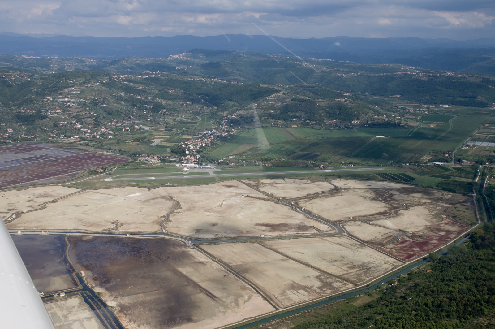
Turning left base now, runway 33
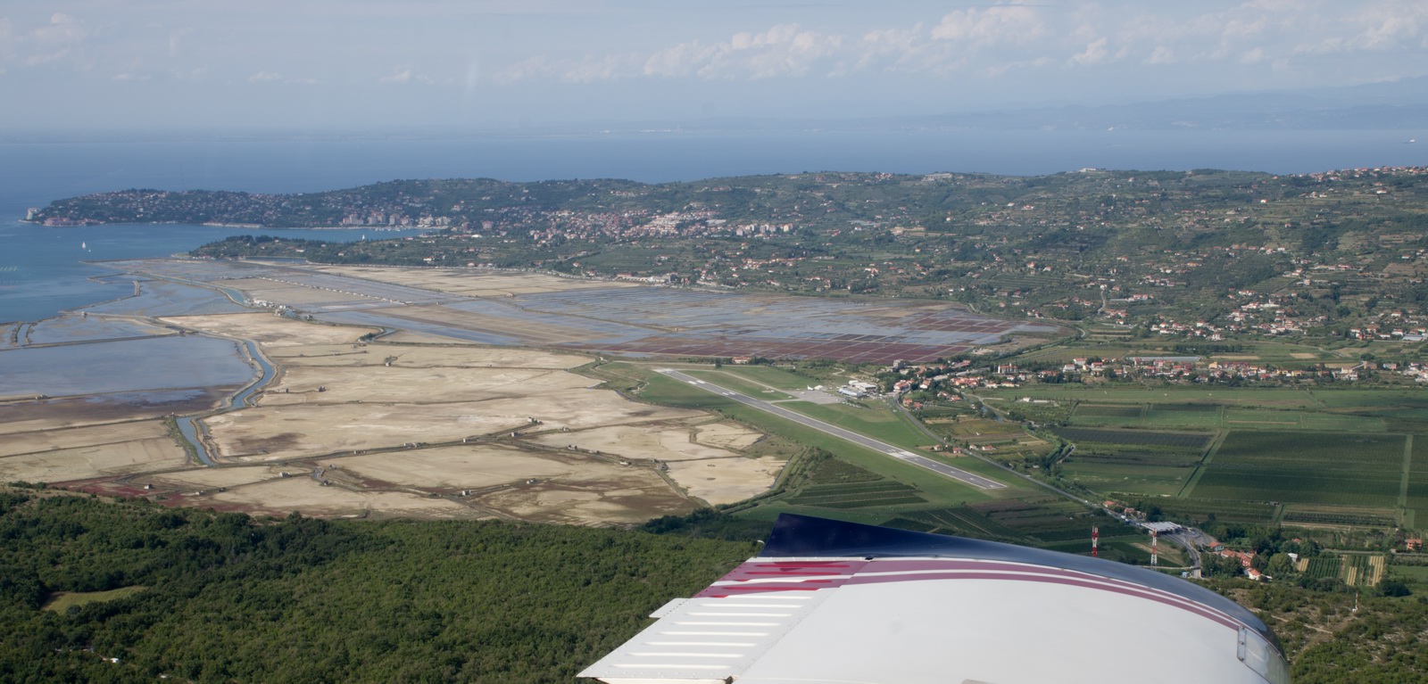
The base leg is above a hill so cannot be flown too low... this results in a steep final approach
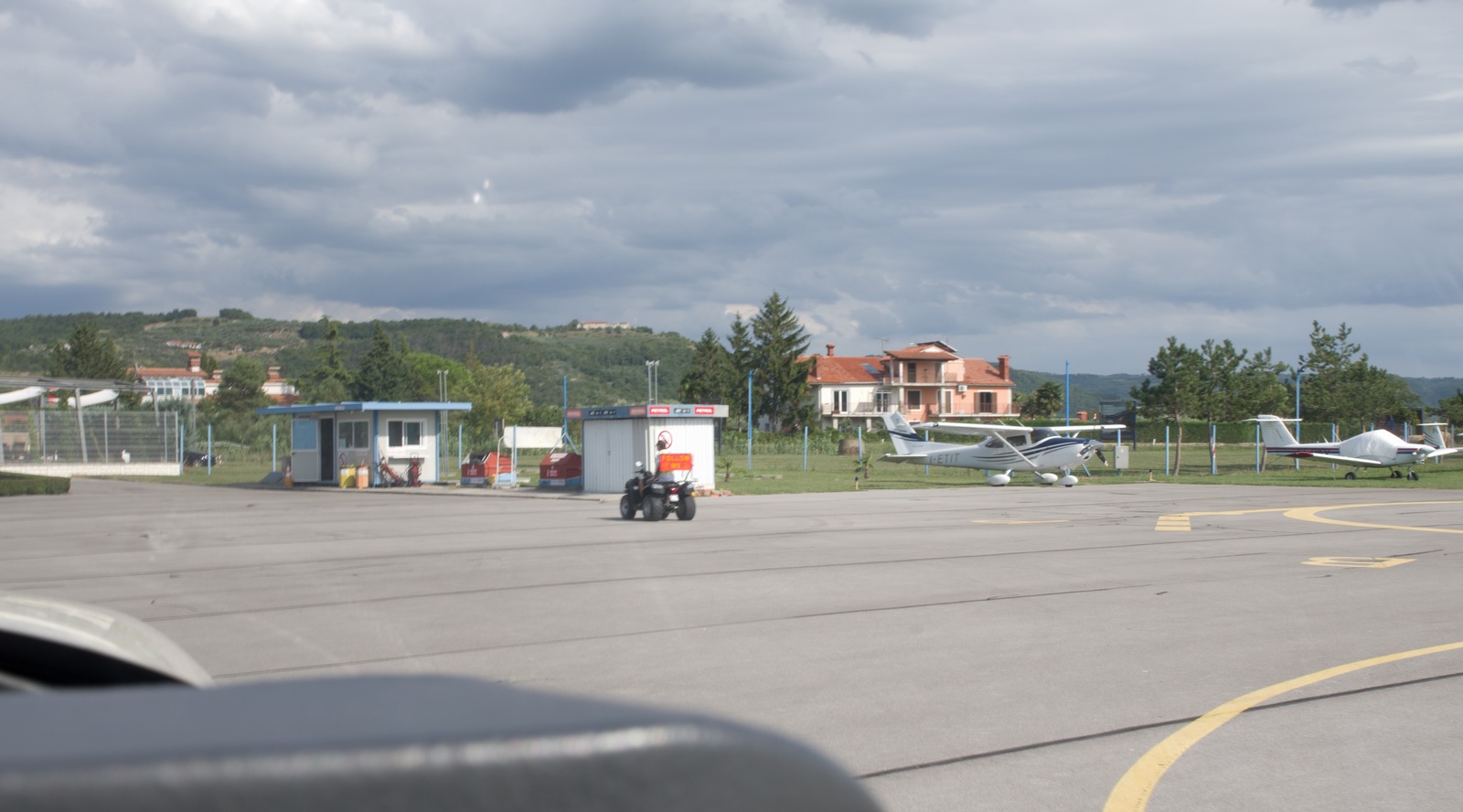
A novel "follow me" vehicle ![]()
A service with a real smile ![]() but they didn't come out for us because we walked in by the time they came out
but they didn't come out for us because we walked in by the time they came out
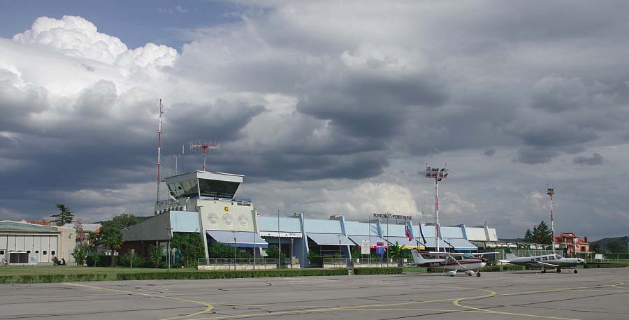
The terminal building. Everything here is perfectly organised and "just works" - not a common thing in aviation! Portoroz is one of the best airports I have ever been to.
In the past I had to park on grass. It had a good surface but it takes at least two strong people to move a fully fuelled TB20 on grass, so it is not ideal. However this time we got hard parking. It would take a hurricane to move the TB20 but like many airports they insist on tiedowns
This is the route actually flown (in black):
After landing, it became apparent that the weather over the Alps was better than assessed earlier. These are a couple of webcam pics from the Alps
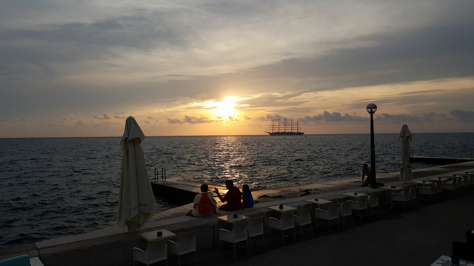
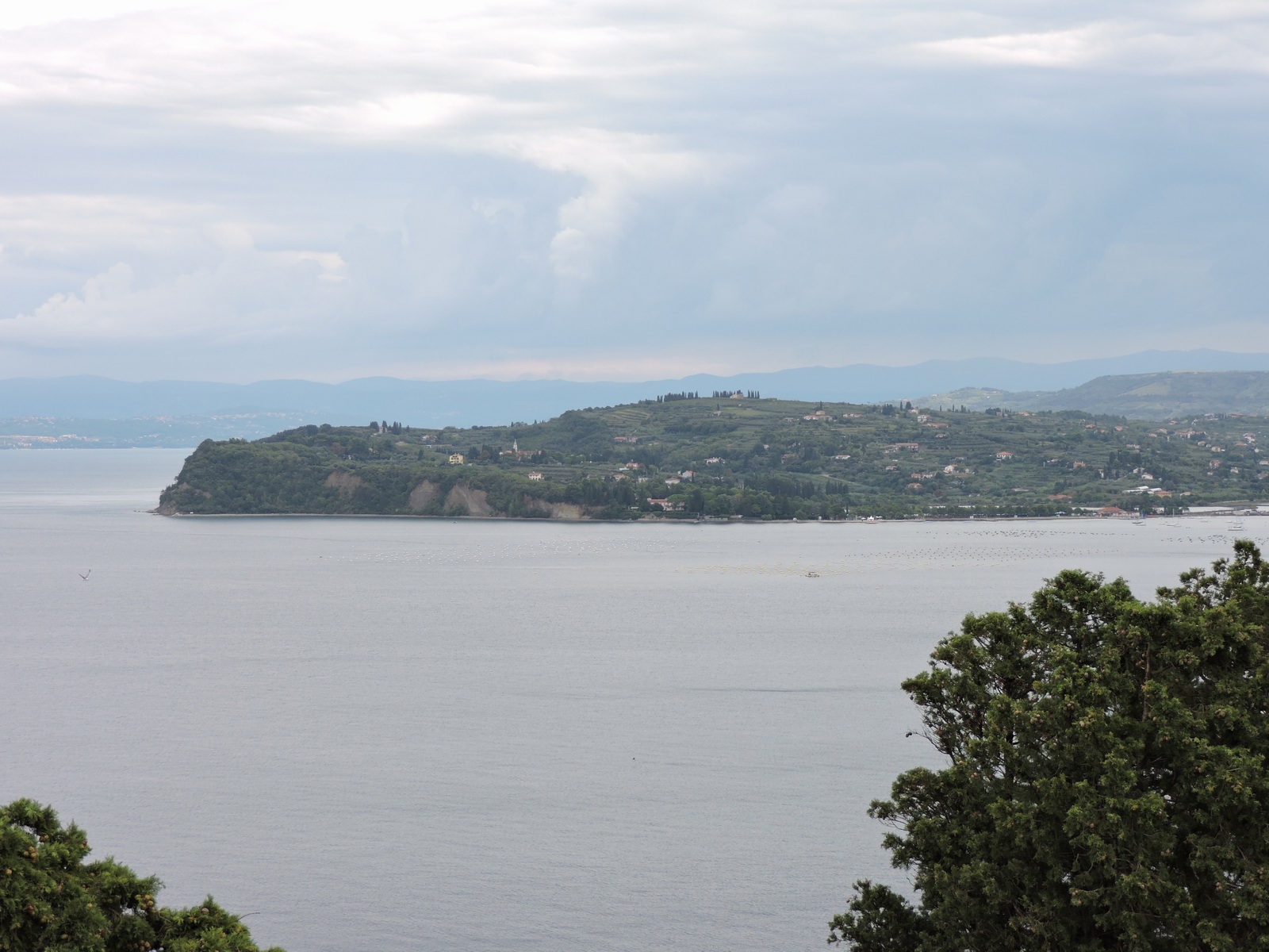
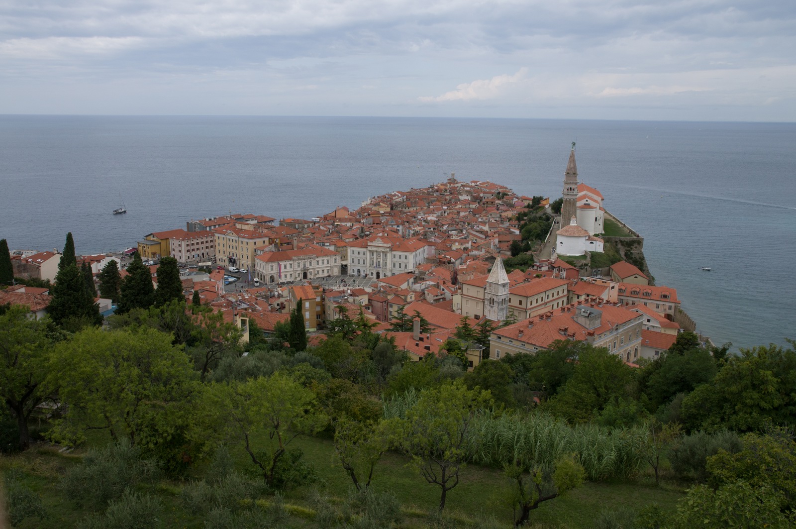
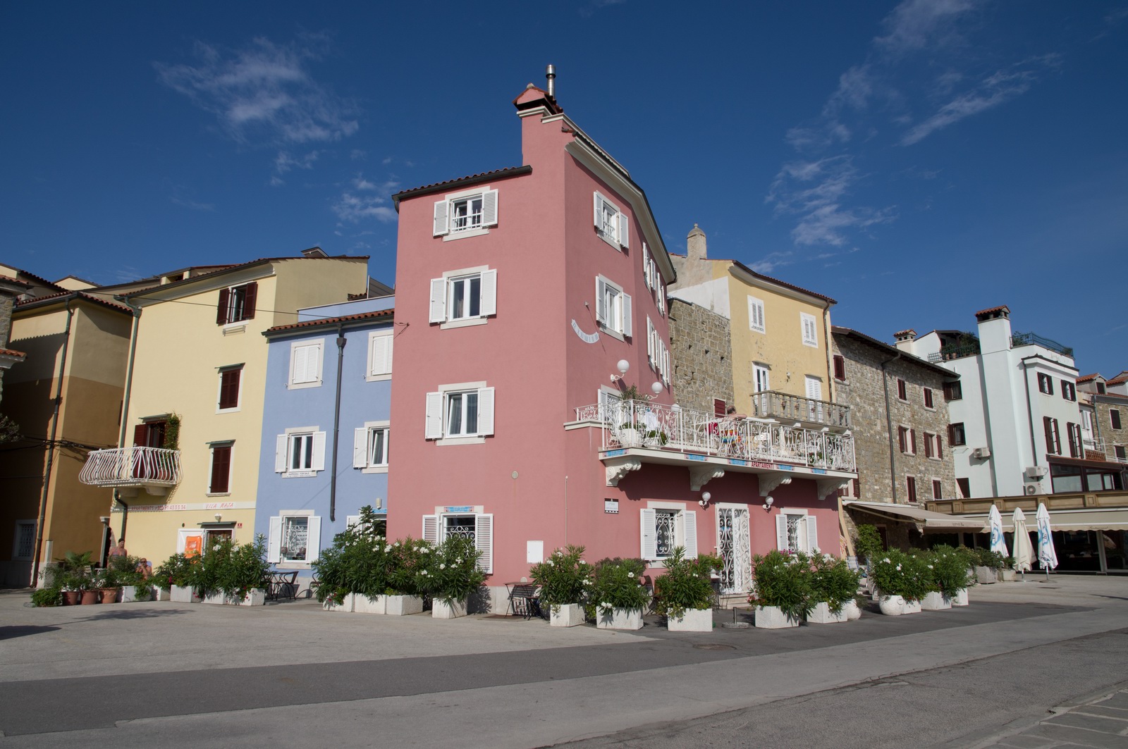
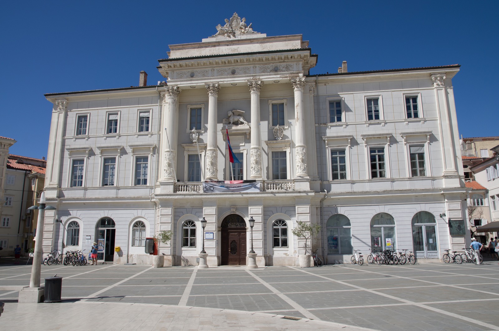
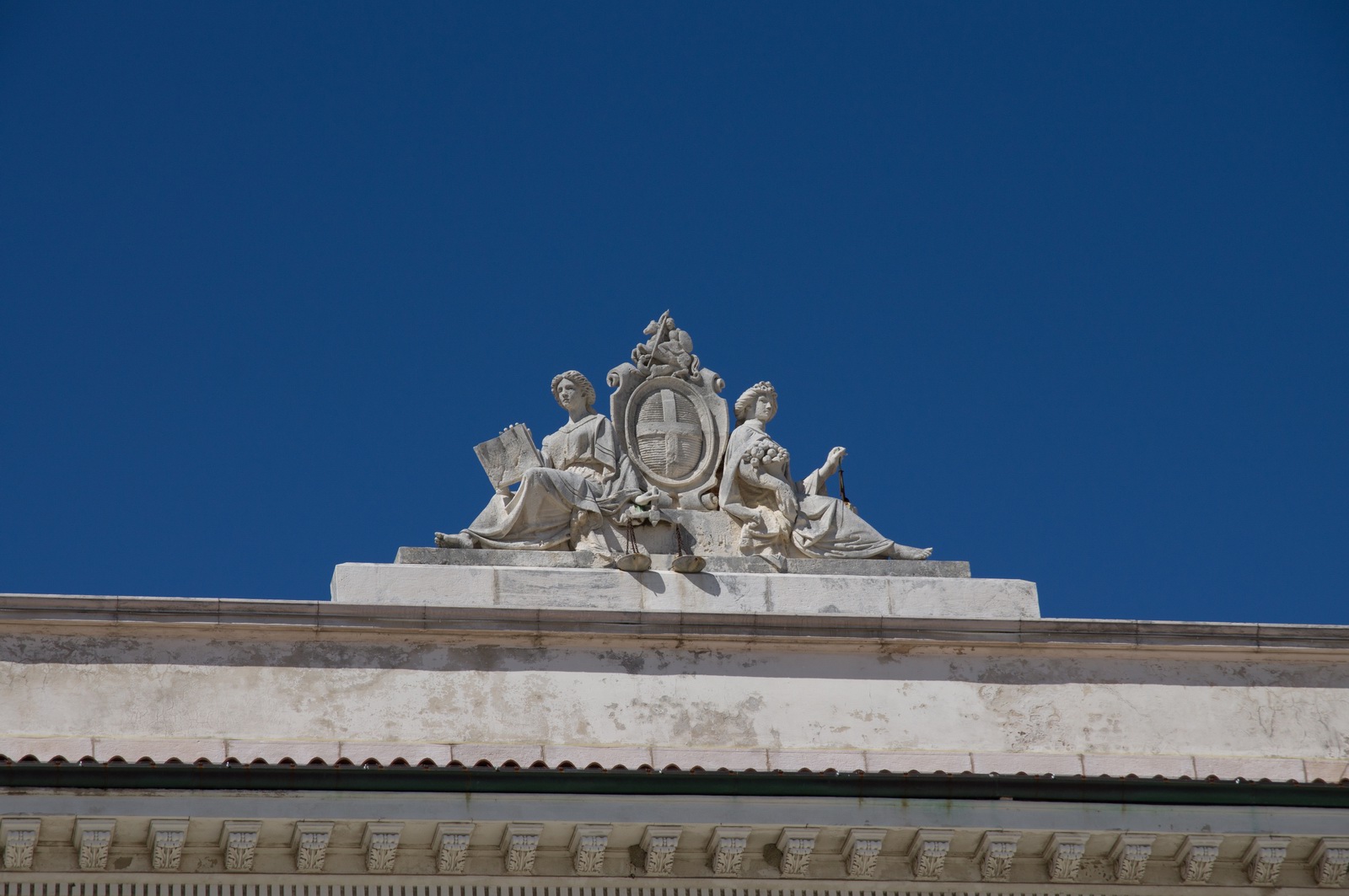
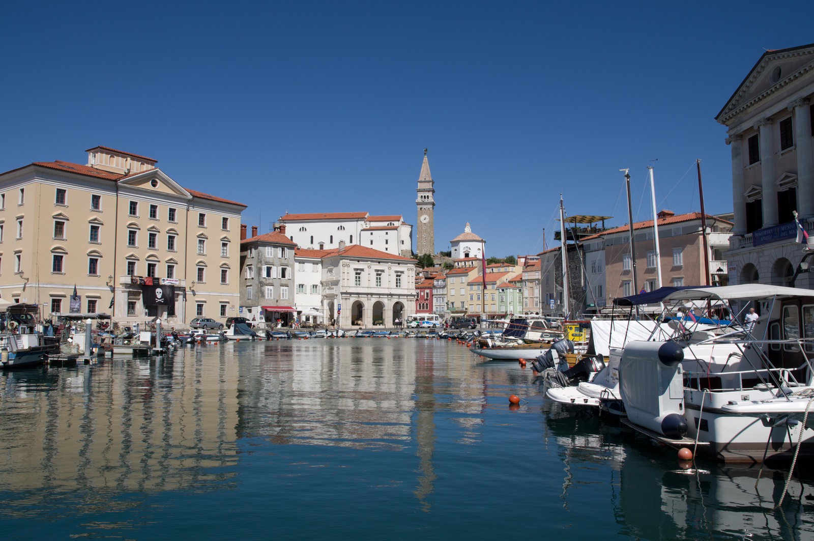
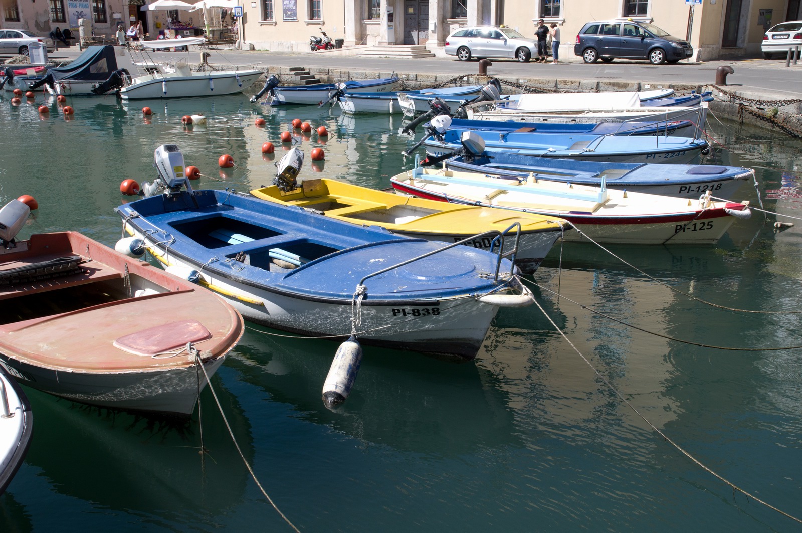
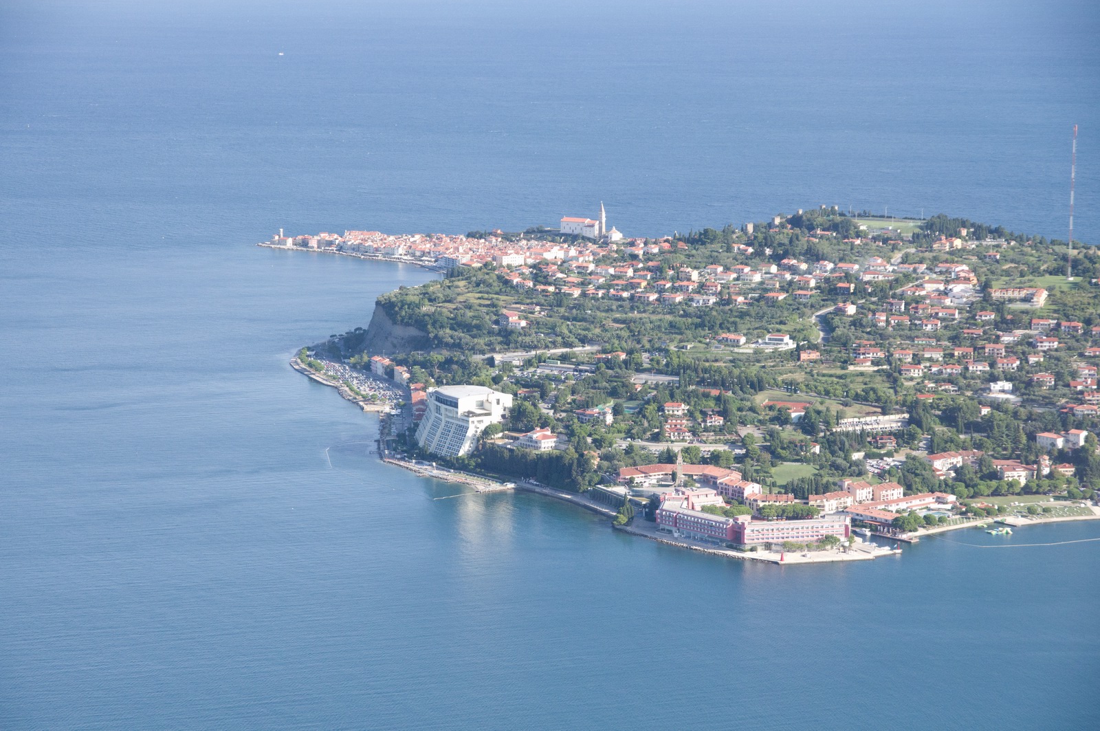
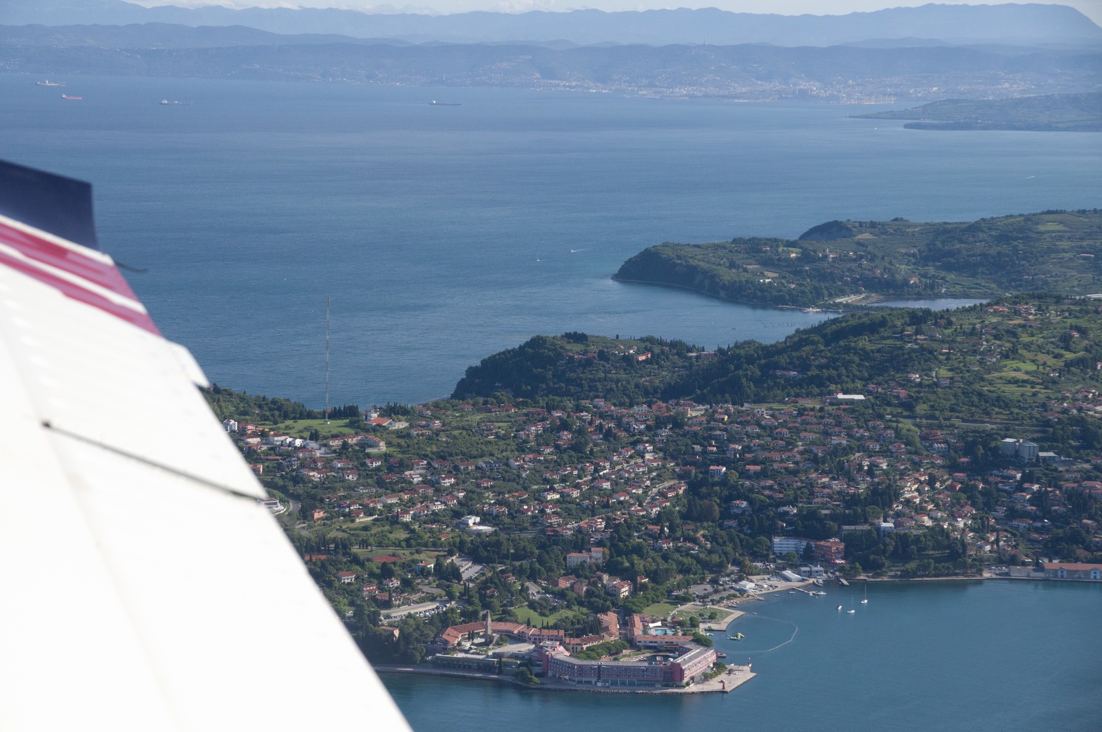
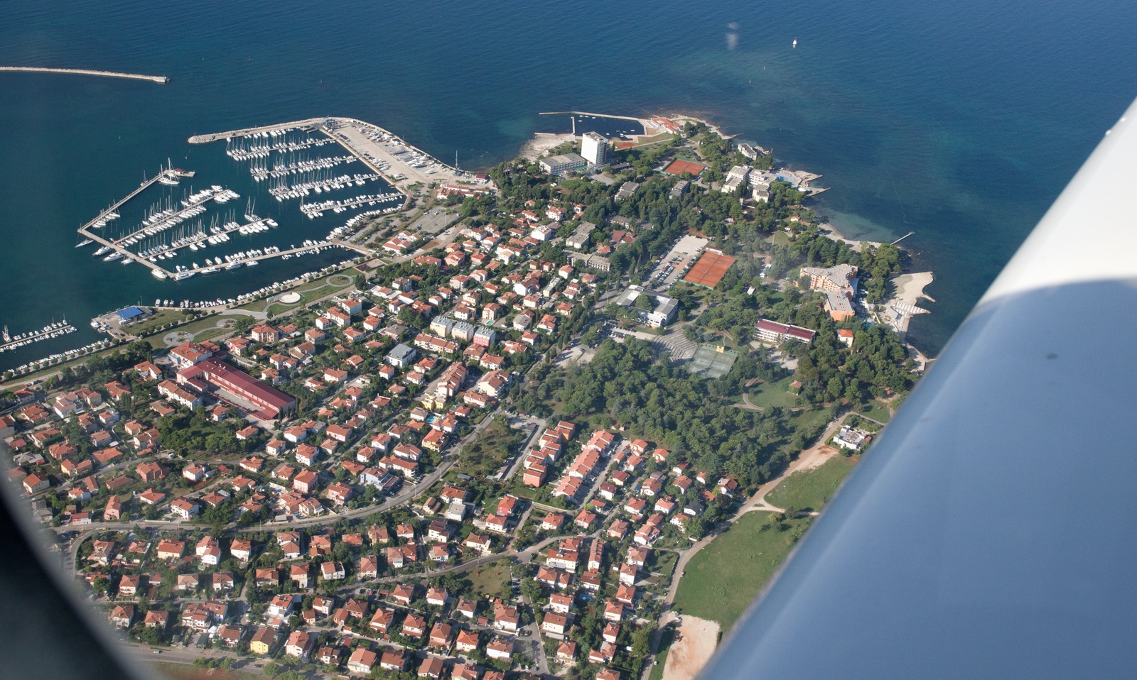
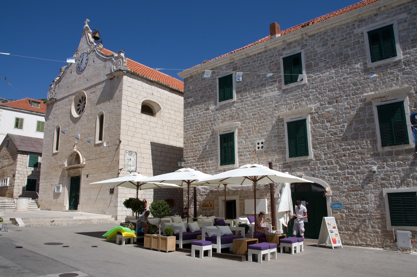
Portoroz/Piran
We met up with the other fly-in pilots and spent most of our time in Piran.
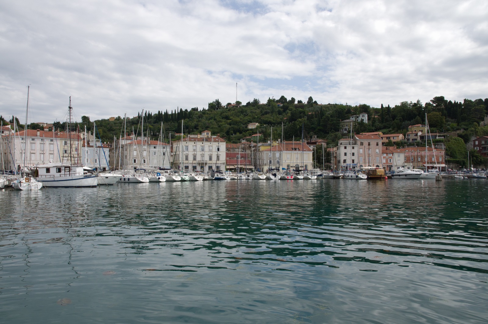
The scenery is nothing less than superb...
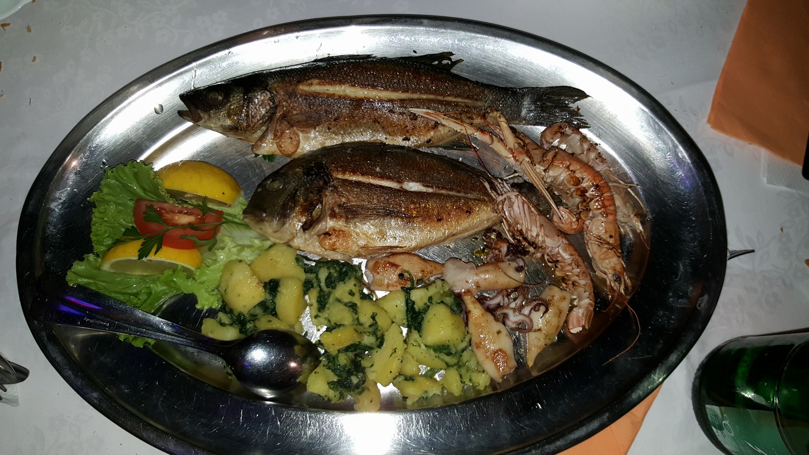
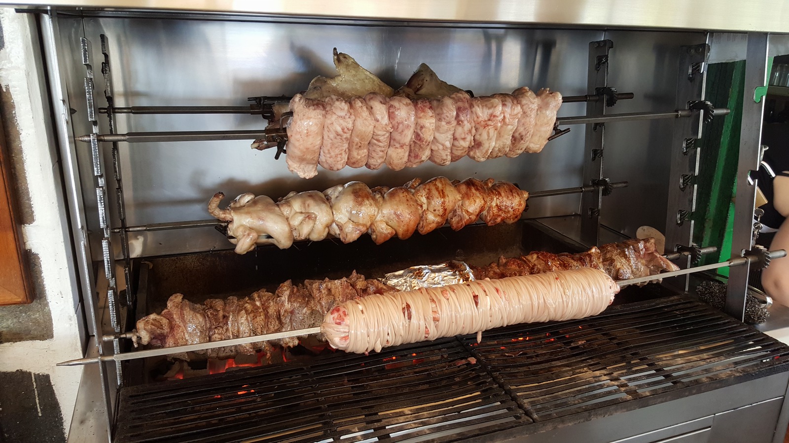
The food is outstanding and healthy - as it is in all of former Yugoslavia.
They have great ingredients, so why eat badly? This one of the reasons I prefer
southern Europe over northern Europe where stodgy or greasy food is common and
you have to hunt around to get the good stuff ![]()
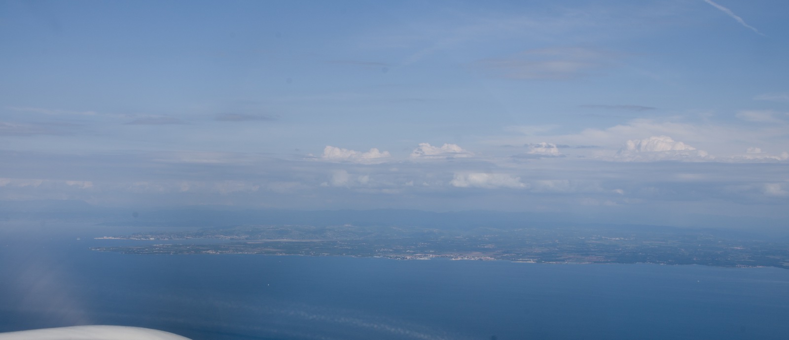
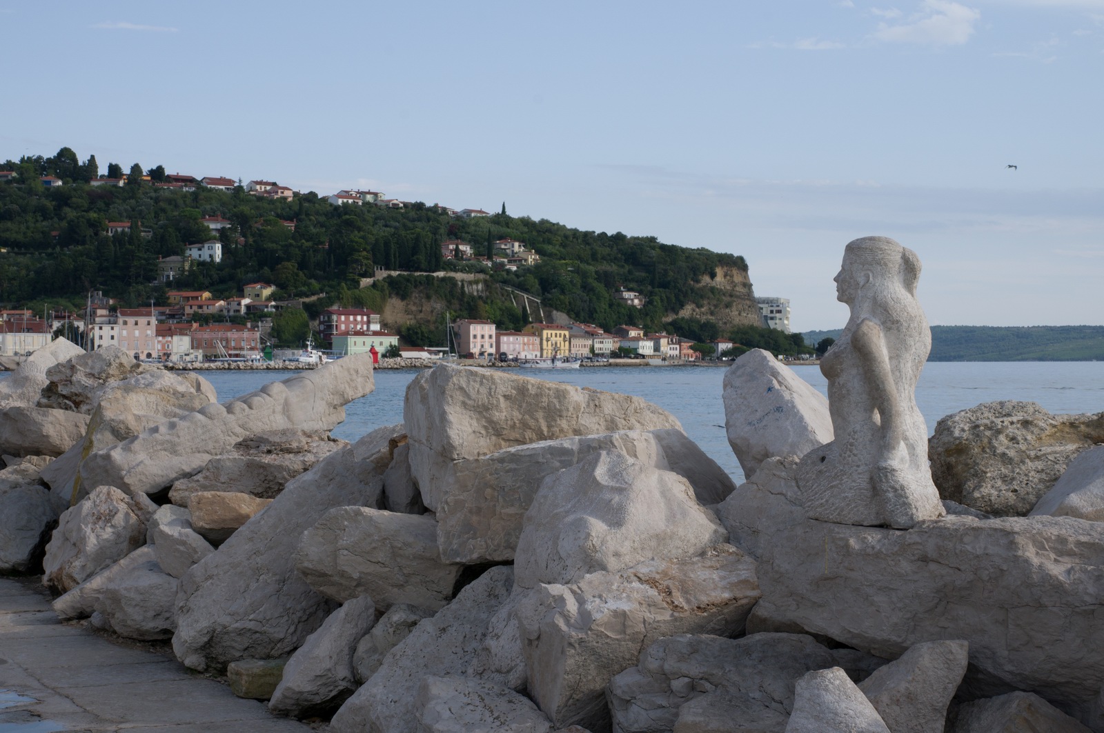
In the distance is the Italian coast, and Trieste
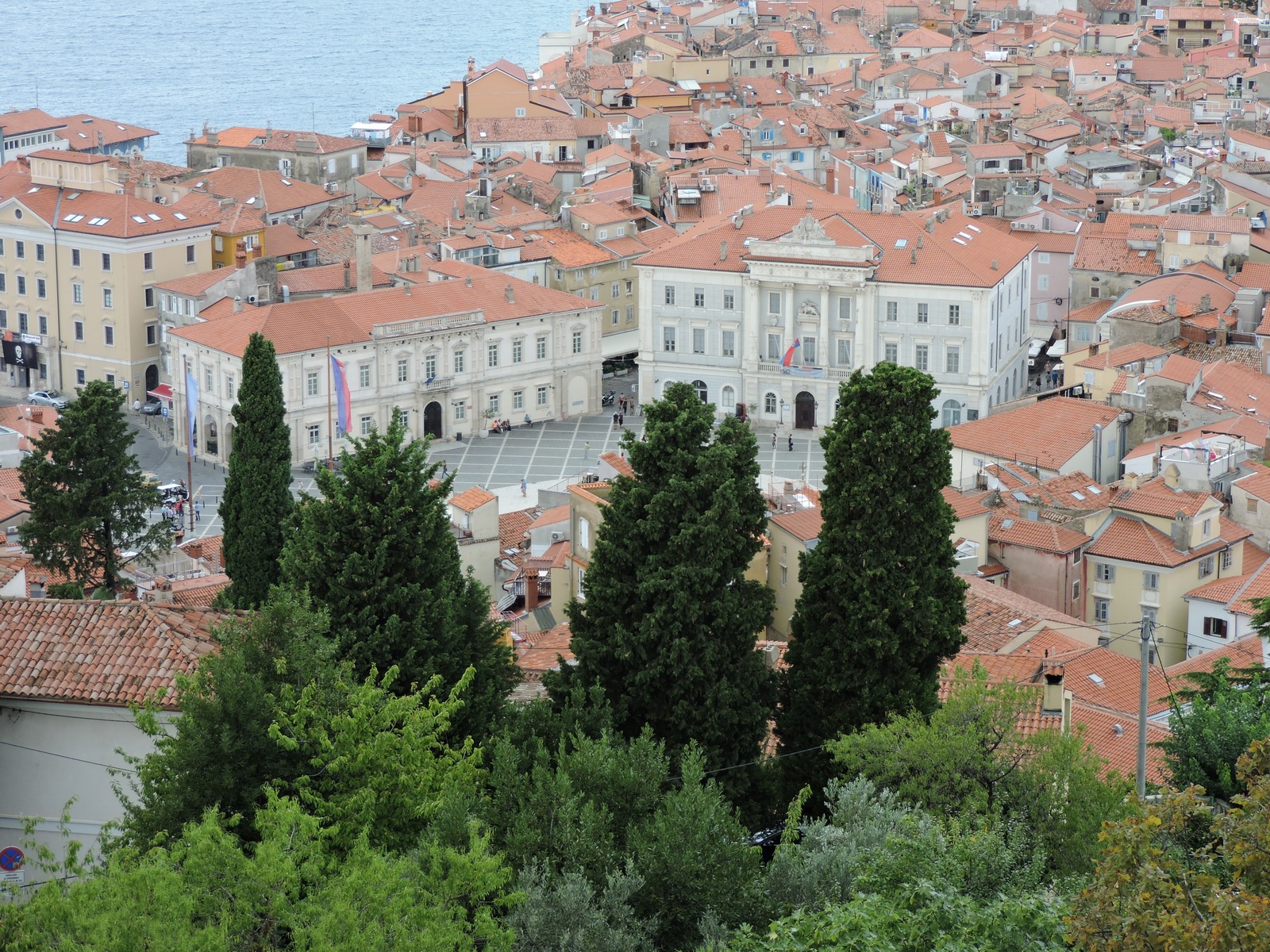
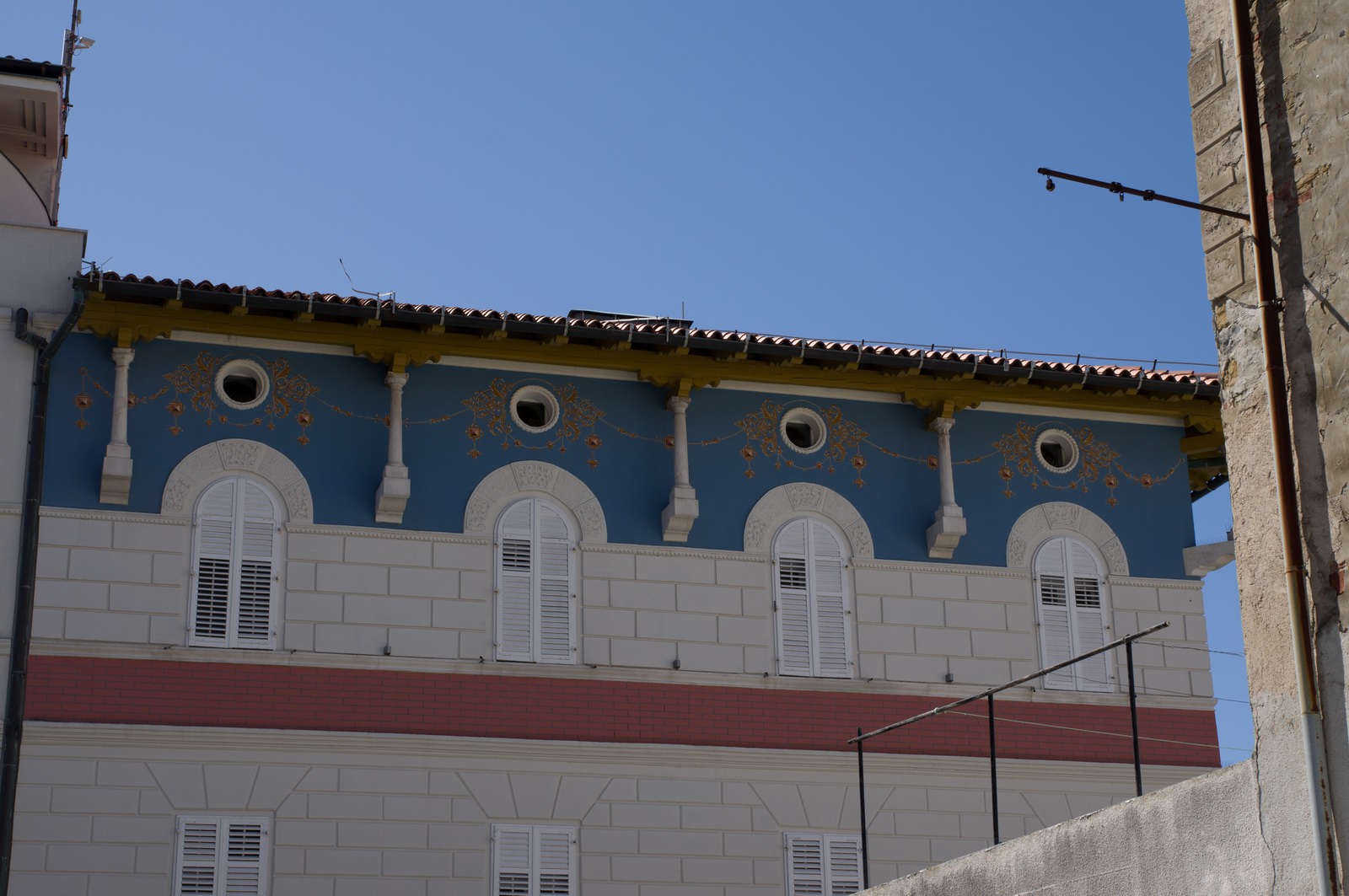
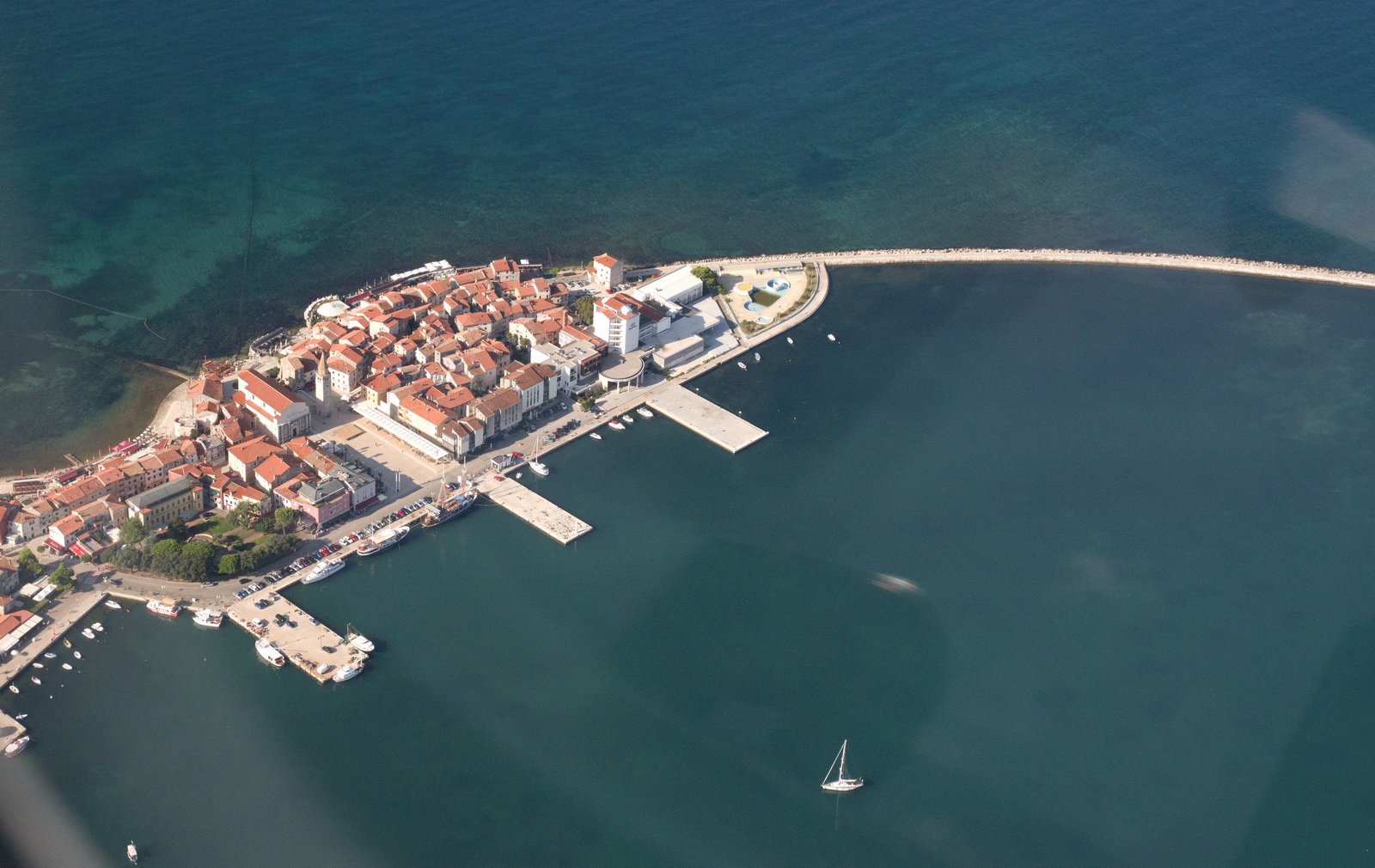
The old city of Piran
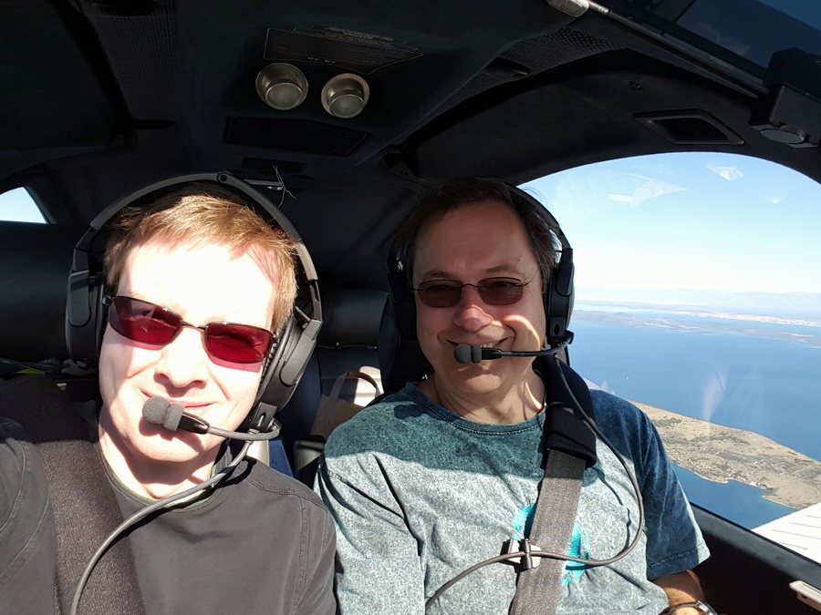
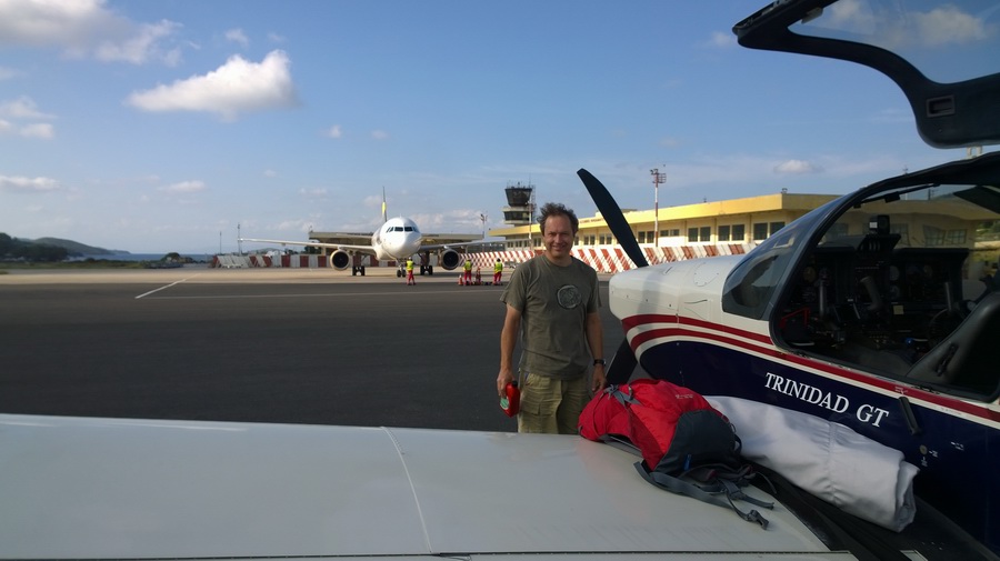
Myself and my passenger Colm who flew in from Dublin, by airline to Gatwick
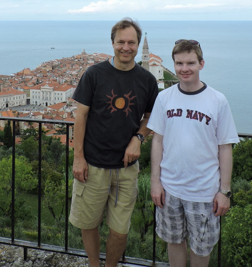
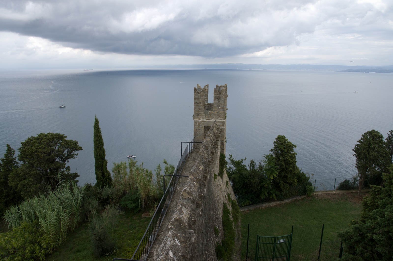
A part of the the city wall, with Italy in the far distance
The city square
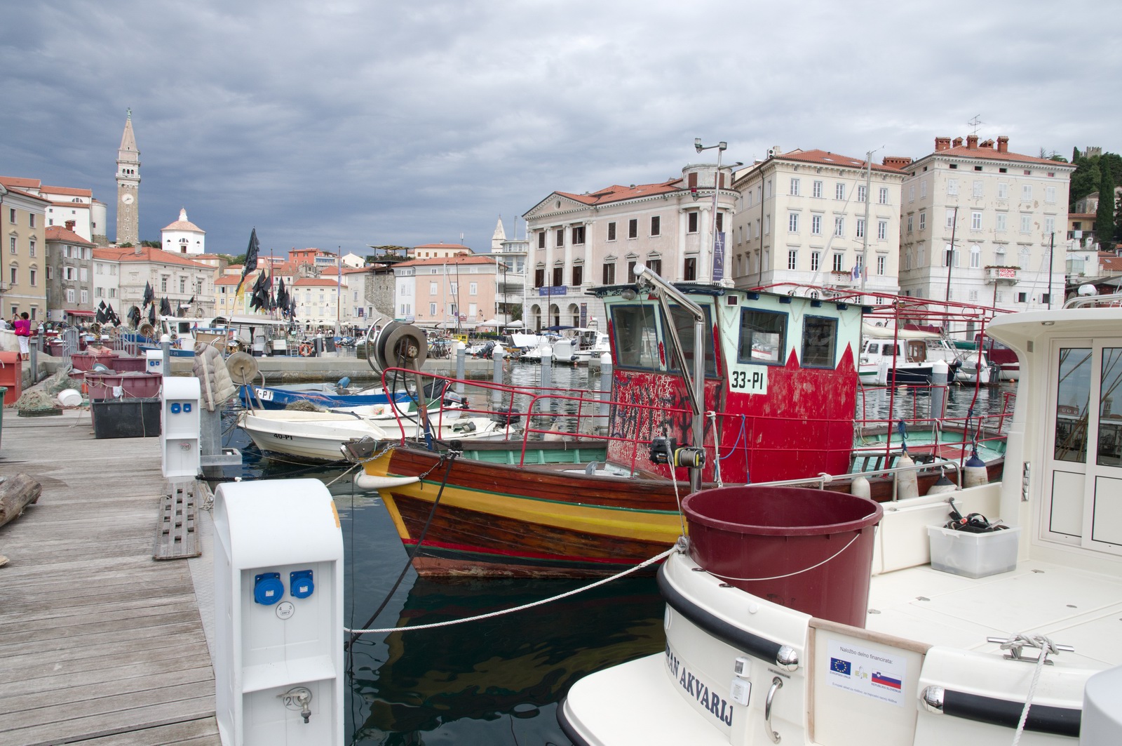
This boat is an excellent restaurant
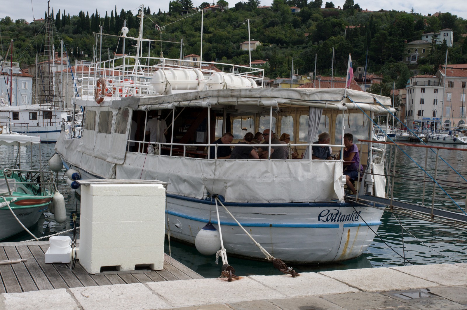
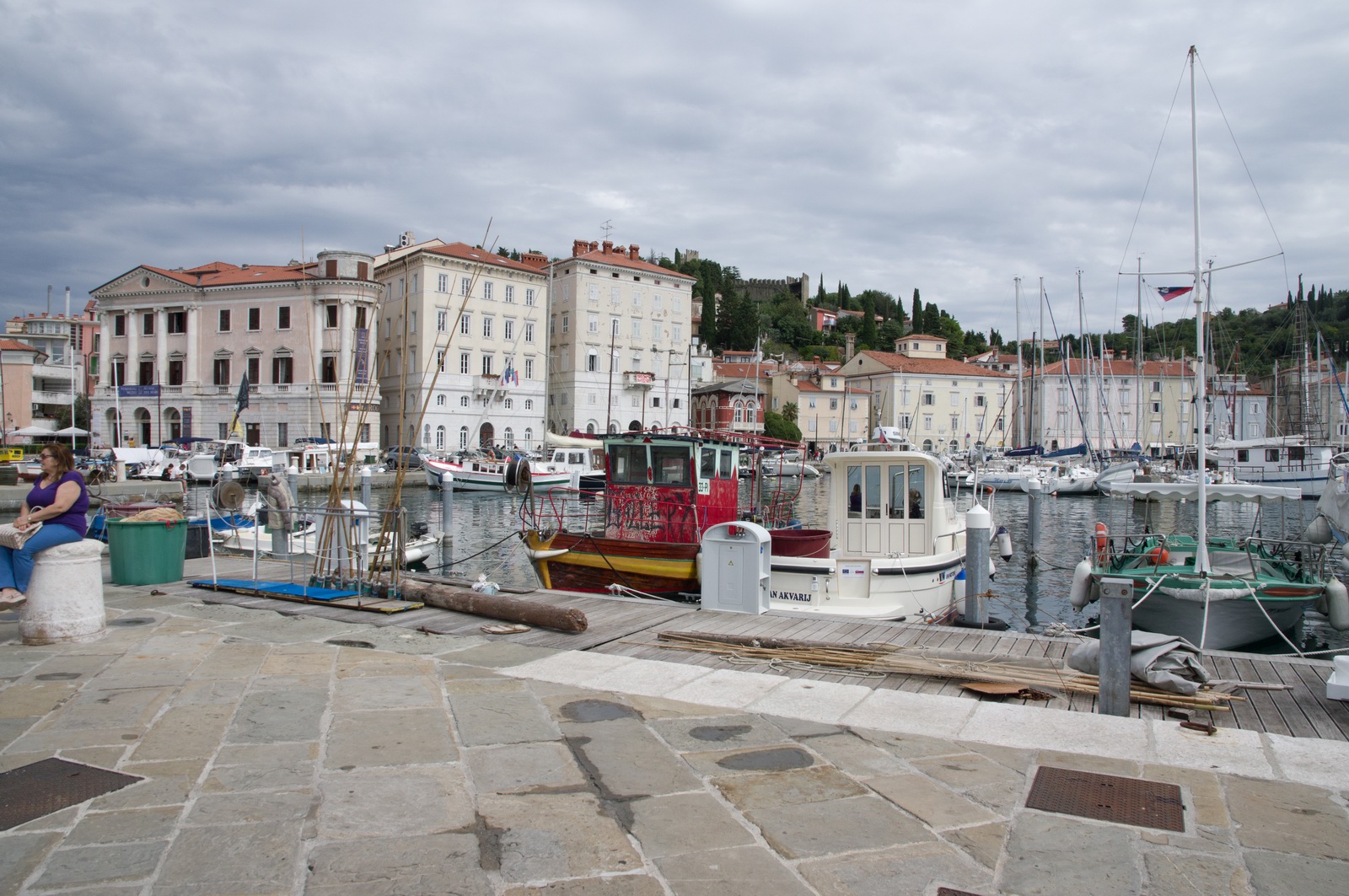
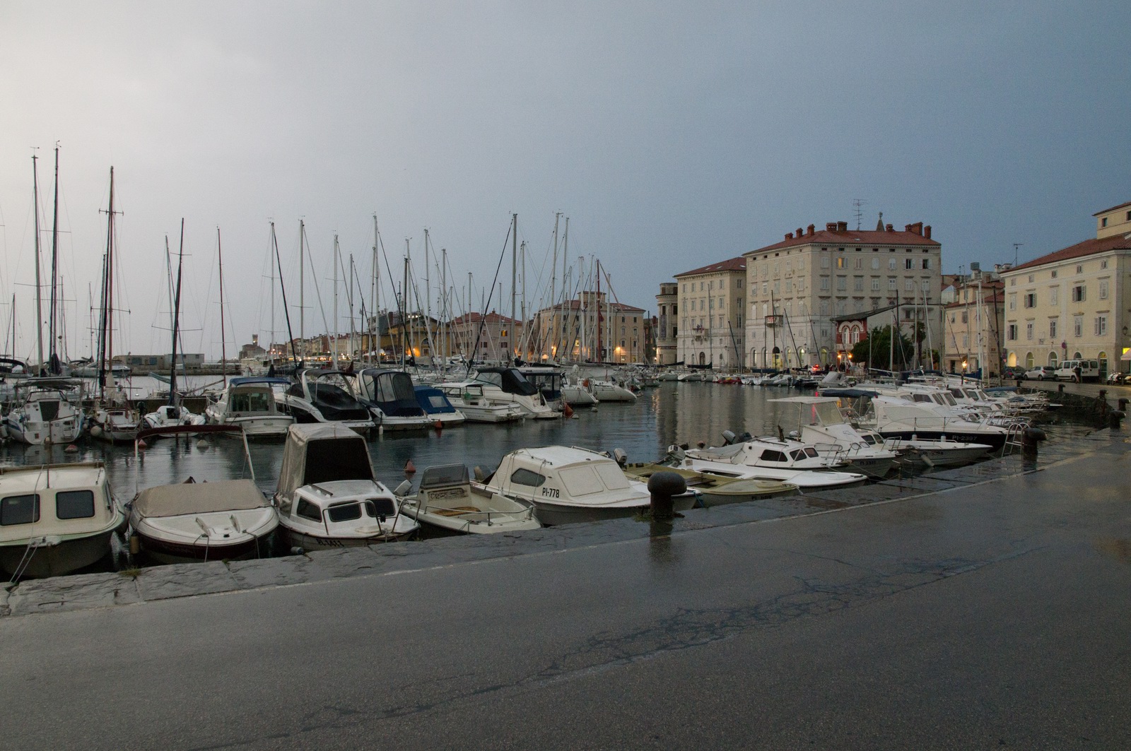
The marina, and the city square in the background
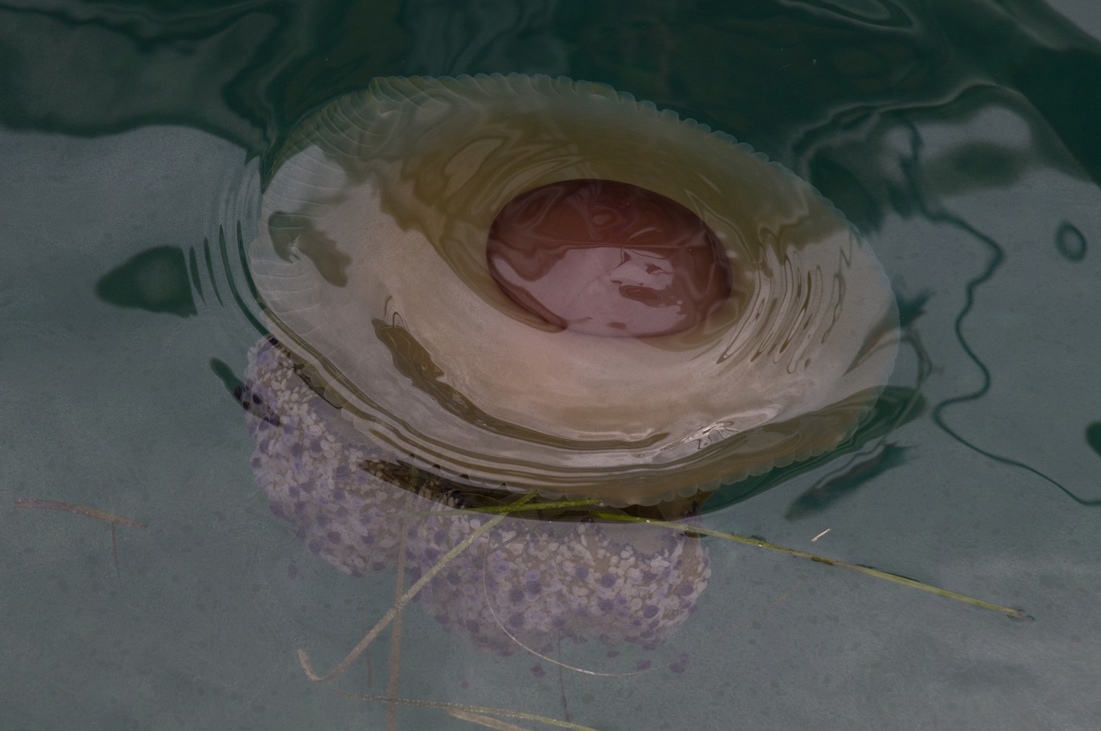
The locals said this organism (about 30cm diameter) does not sting...
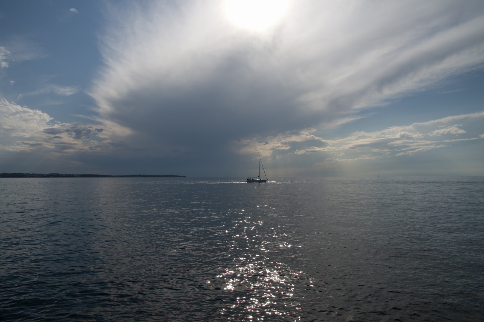
A huge storm started to move in, but never quite made it to us. It did rain later in the evening however
The city square
Trieste, Italy
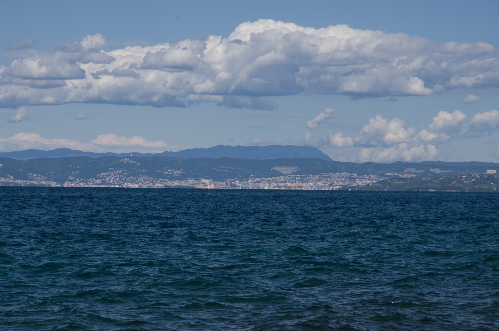
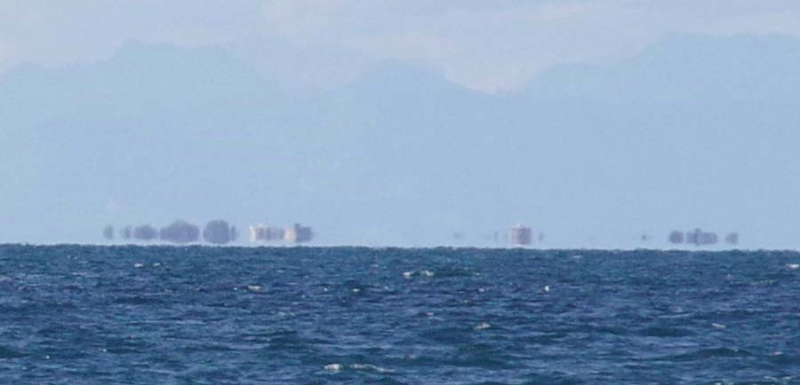
This curious photo was taken looking directly west, towards the coast of Italy. The water creates an odd mirage effect (also just visible above) with tall buildings in Italy, a long way away; this is a 20 megapixel image zoomed in 1:1
Unfortunately the tricky weather forecast caused many people to cancel the fly-in. We still had a good group turn up however and everybody enjoyed themselves.
Piran is a great destination for a fly-in which has something for everyone
- unlike the more traditional "airport fly-in" which needs a bus to
ferry the "non-aviation" people into town to do shopping ![]()
Portoroz, Slovenia to Brac, Croatia
The weather in the area was good: MSLP 0600
1200 1800
IR radar sferics
tafs/metars. This really shows that
once you get out of northern Europe, life usually gets a lot easier ![]()
This leg was a simple one and was filed VFR, to be flown at a low level; 1000-2000ft
LJPZ VRS LOS DCT SAL DCT ROGOV LASUL LDSB
Alternates: Split LDSP, Mali Losinj LDLO
185nm GC, 195nm as filed
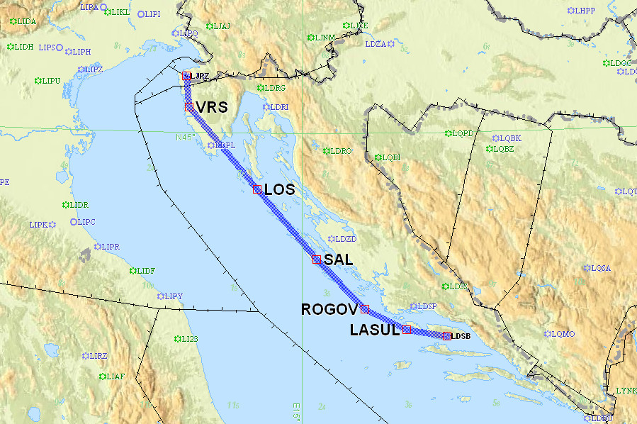
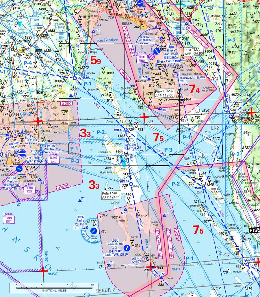
A more "traditional VFR" way to do this would be to fly the ADRIA1 VFR route, shown below on the now discontinued 2013 Jeppesen VFR chart
We did actually fly the ADRIA1 route for much of the distance.
The "modern way" to navigate that would be to use Pocket-FMS or Skydemon, but since I fly so little long distance VFR nowadays I don't bother to pay for these, and I run the above 2013 Jepp charts under Oziexplorer (a generic GPS moving map program) on my Lenovo T2 tablet. One is in constant ATC contact anyway down there, and they are relaxed...
Departure conditions were good. The Adriatic is always 10/10 for scenic value
![]()
Italy is in the distance
The flight was simple, talking to Zadar and Split...

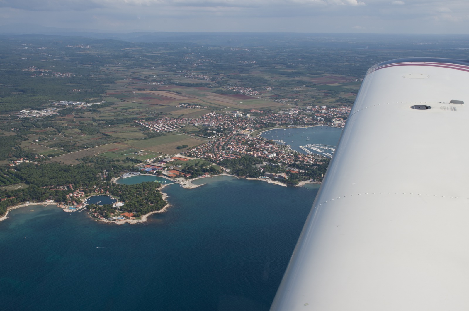
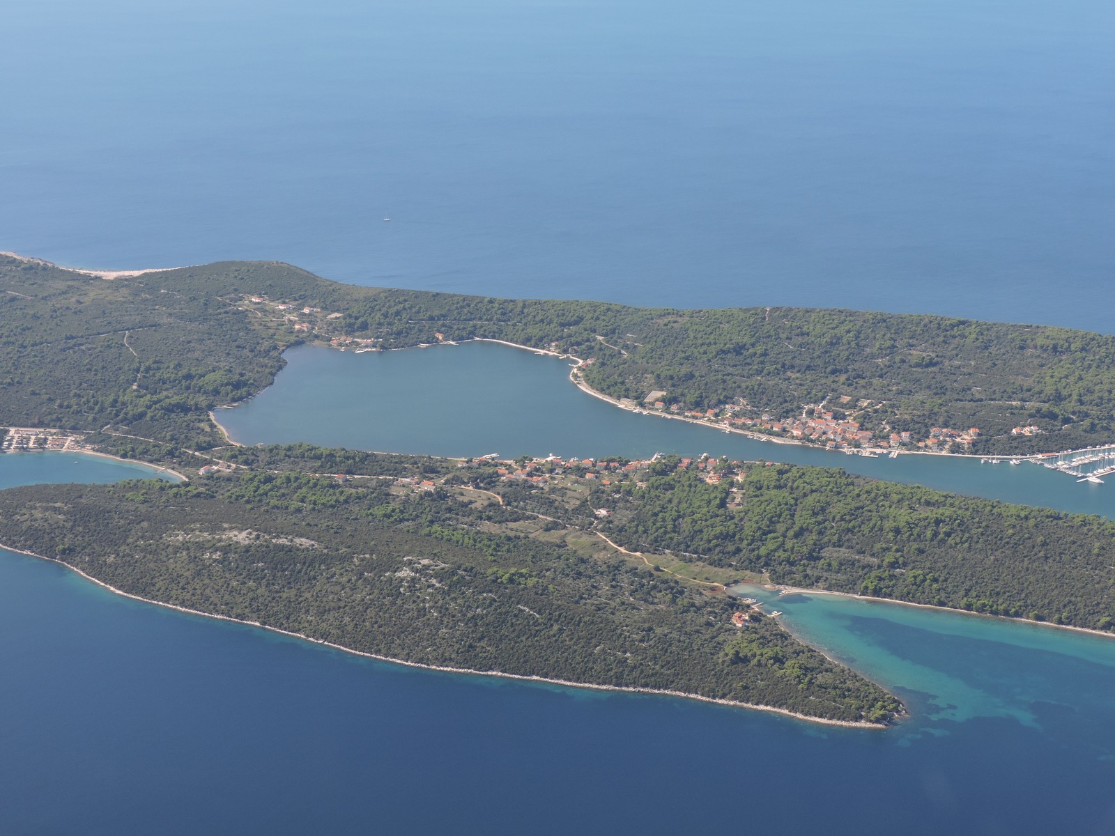
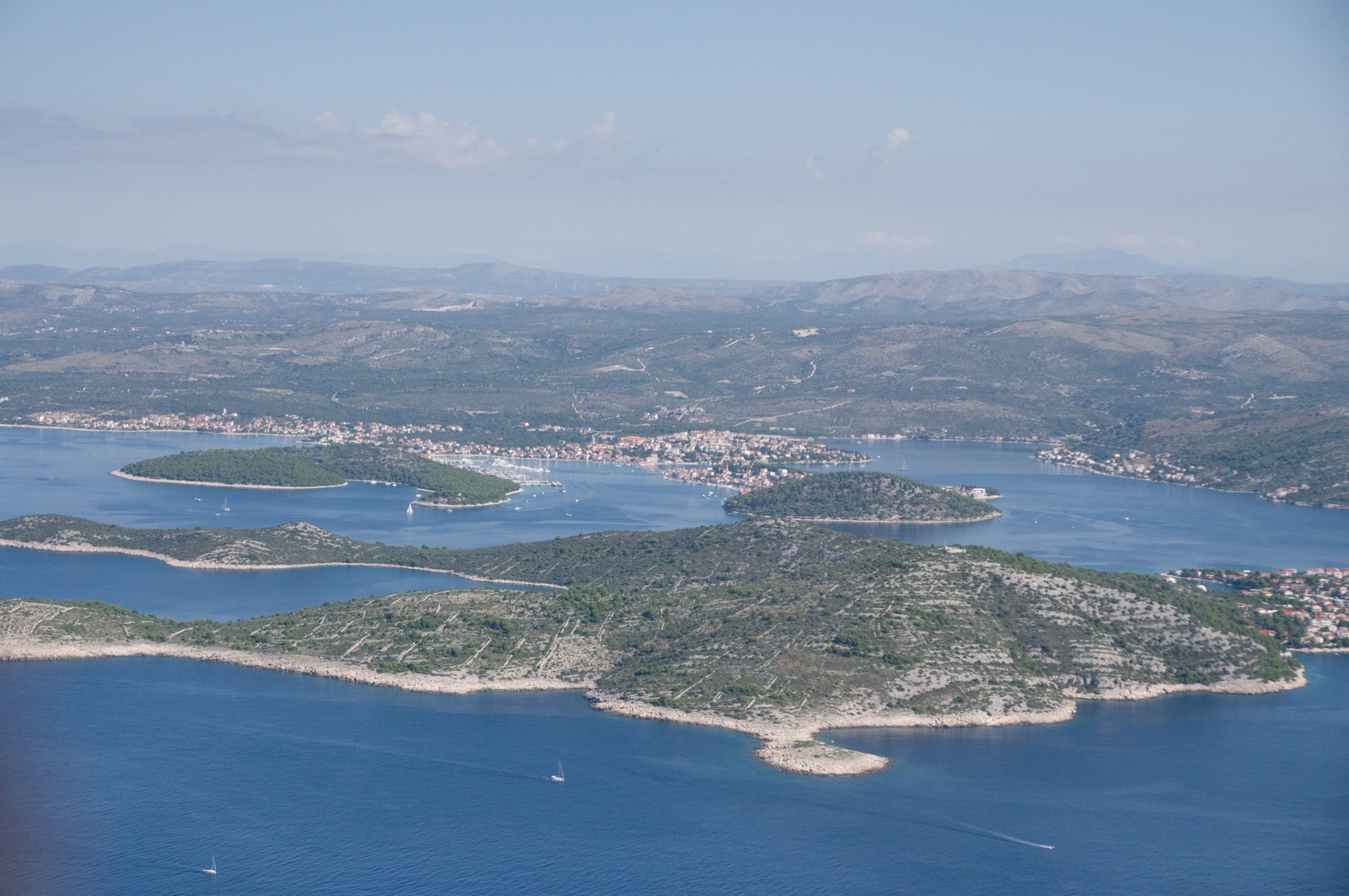
The island of Mali Losinj, and the bridge which connects Mali Losinj and Cres and which goes to the airport and is open to road traffic only once per hour
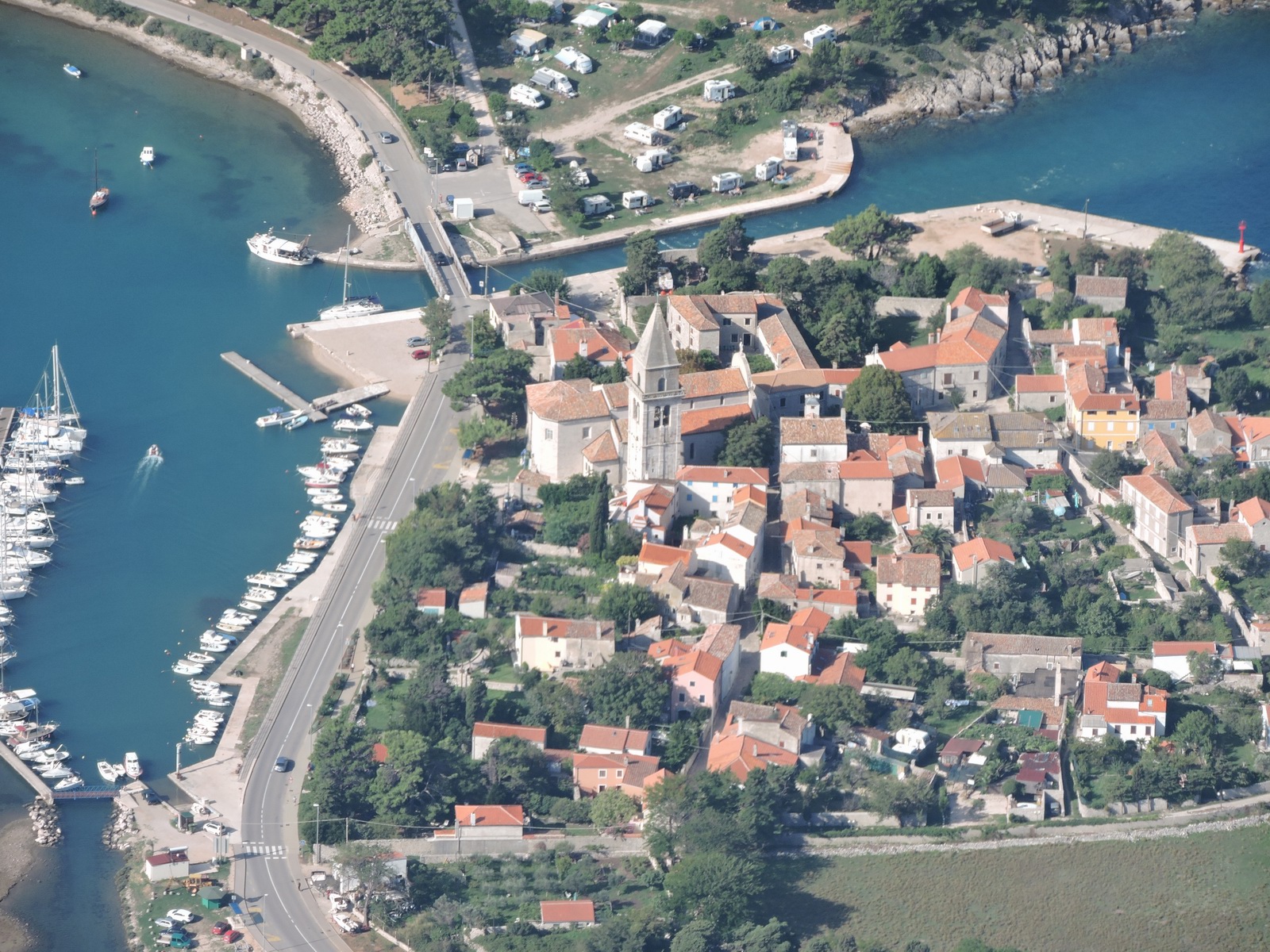
Mali Losinj LDLO - the location of a really well attended EuroGA fly-in in May 2014
The Mali Losinj town and marina
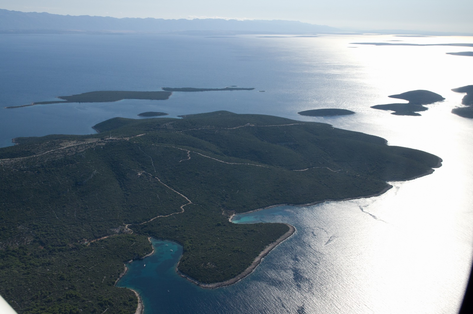
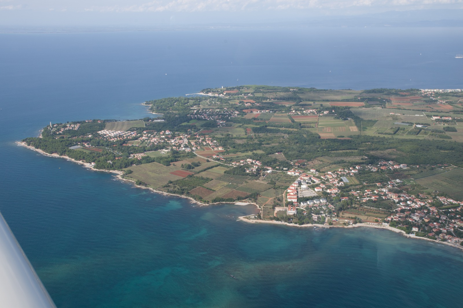
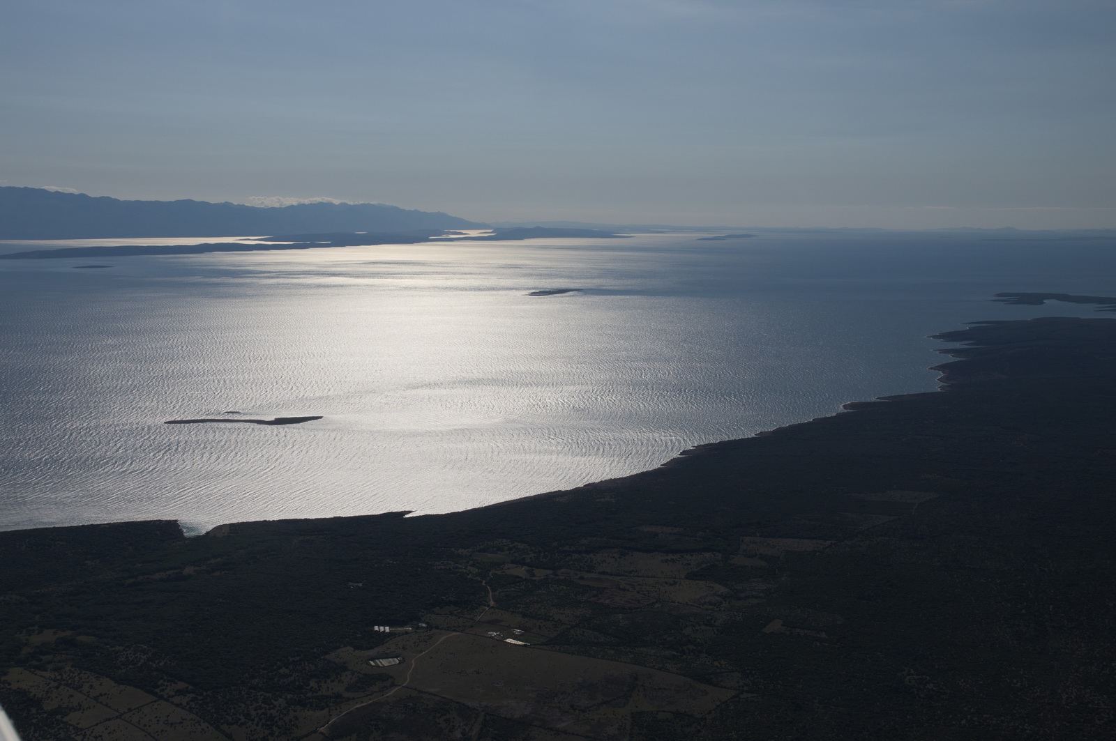
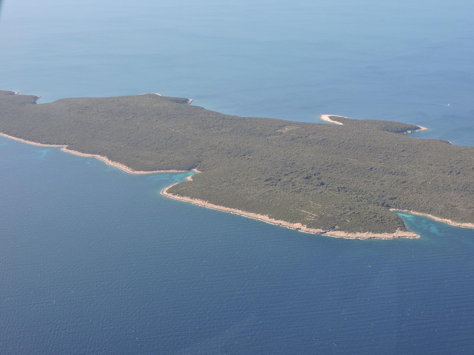
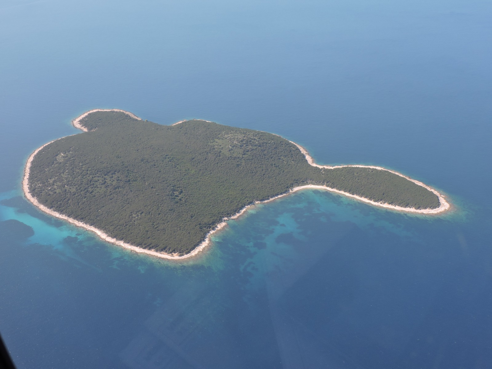
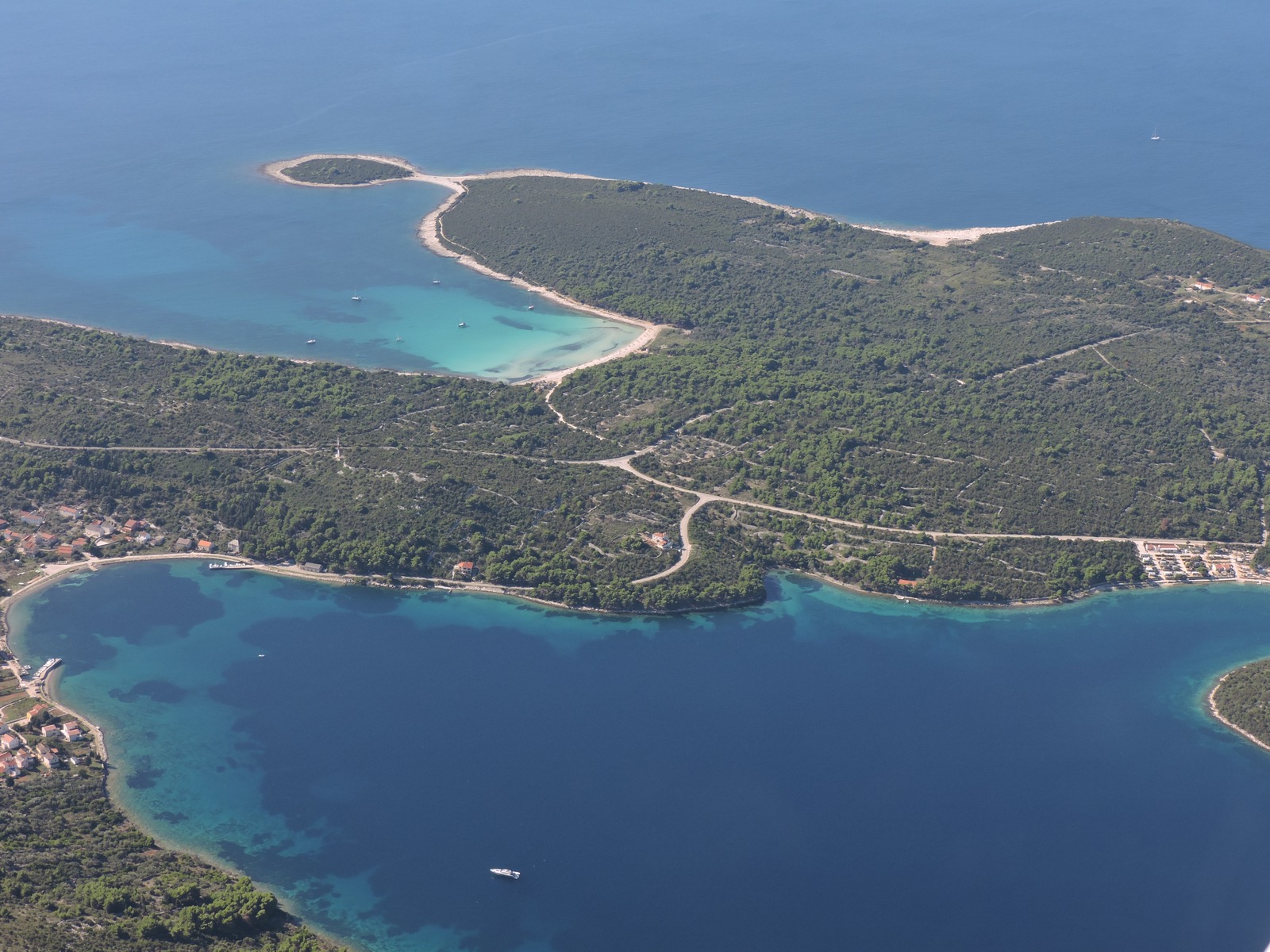
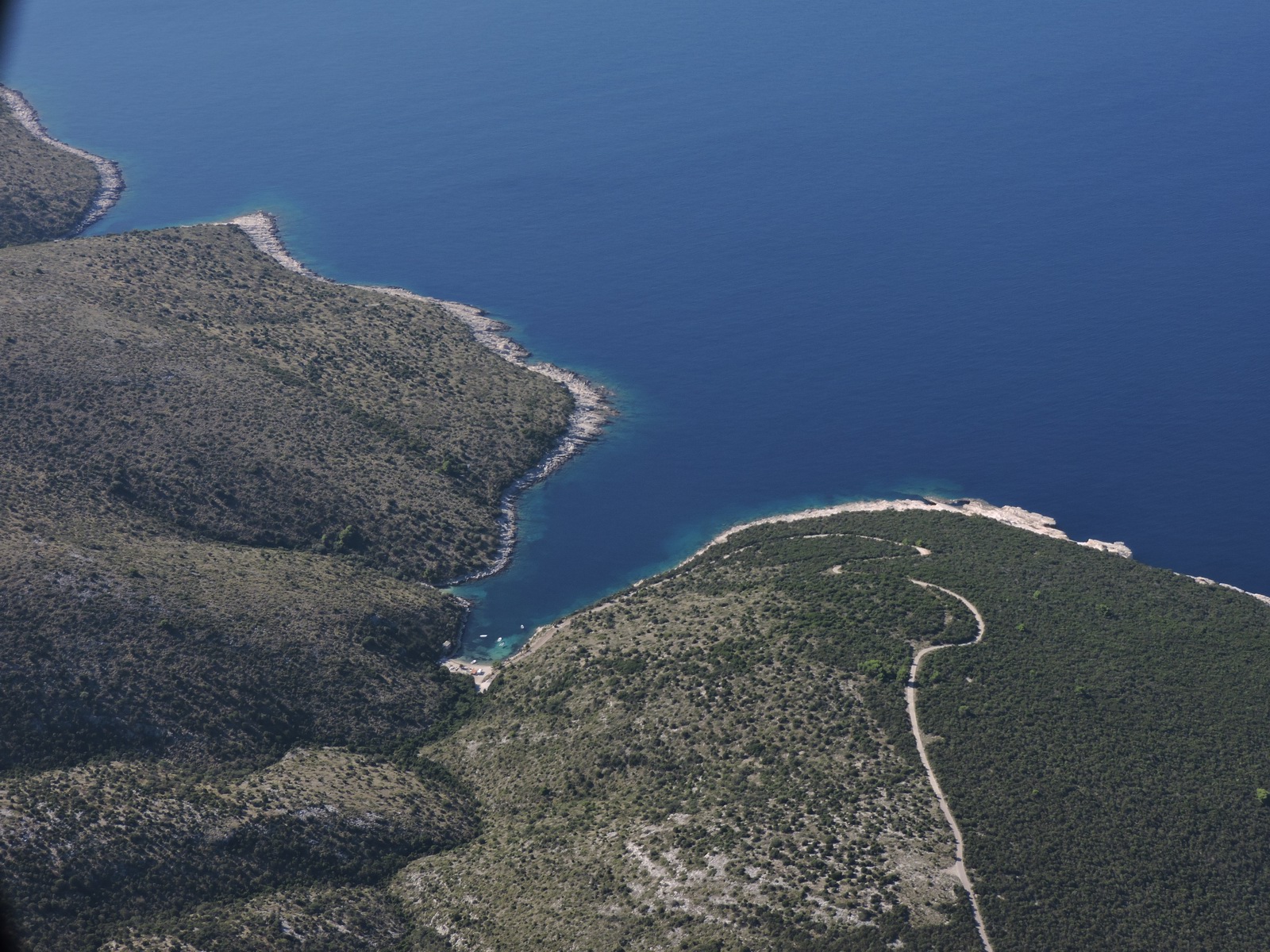
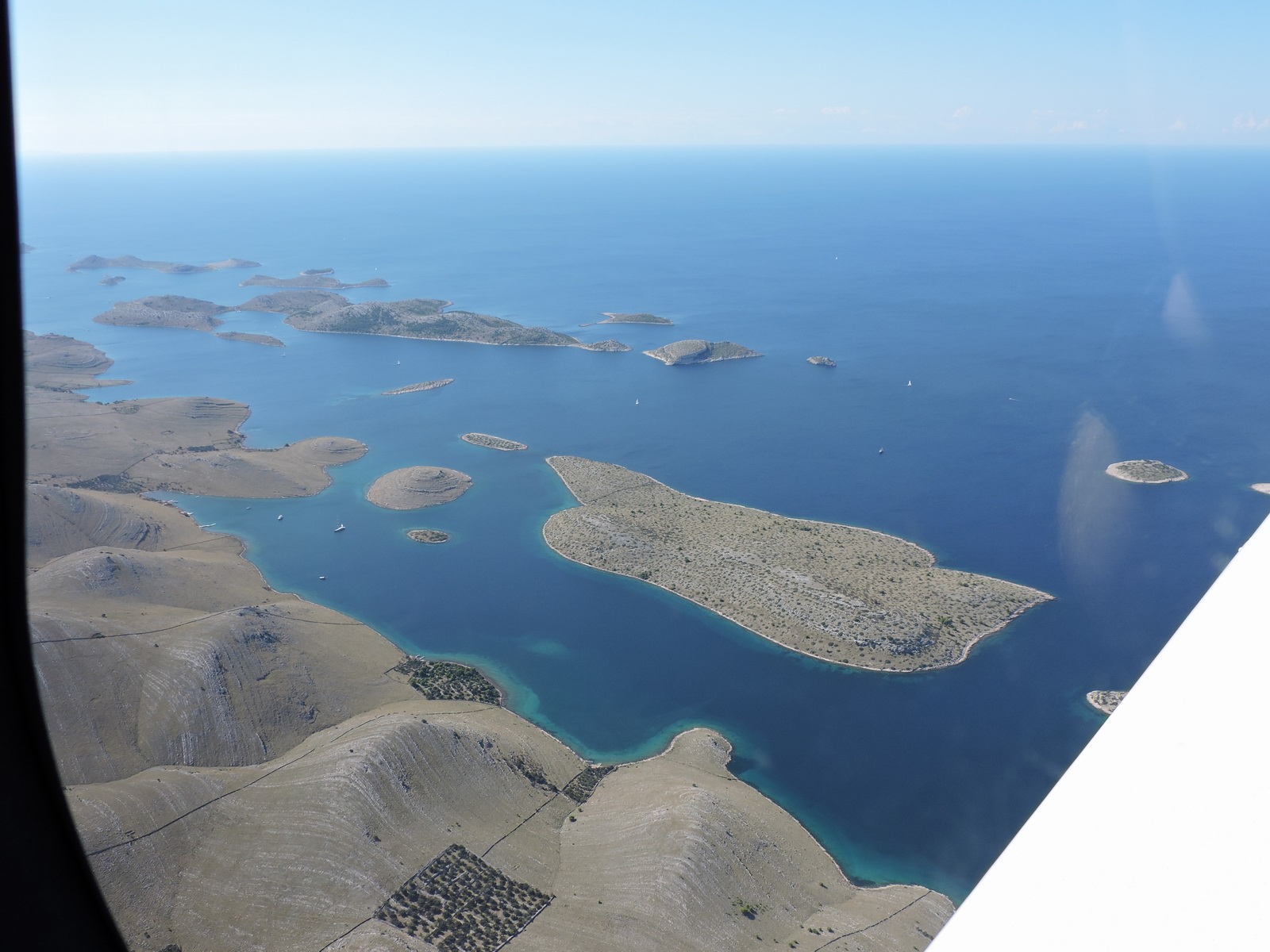
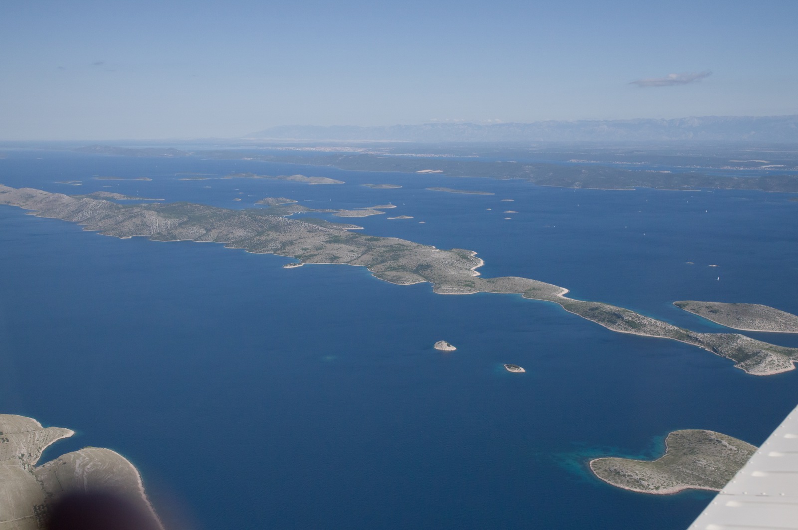
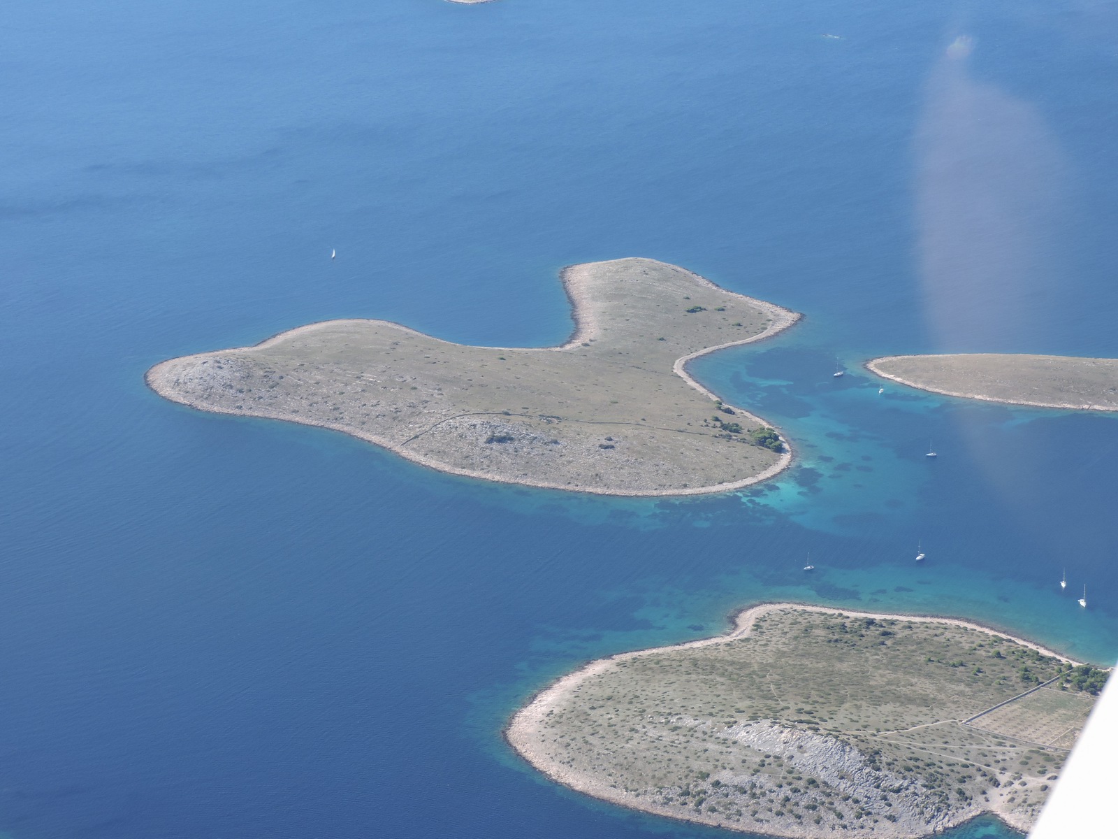
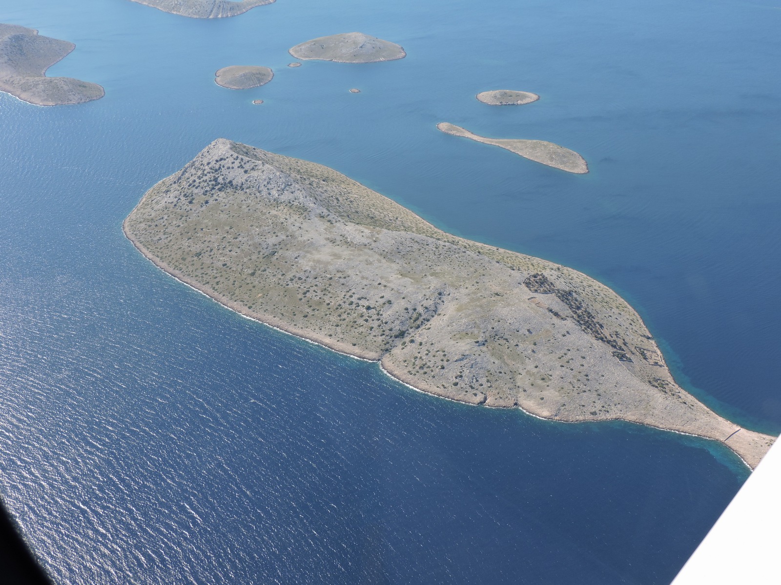
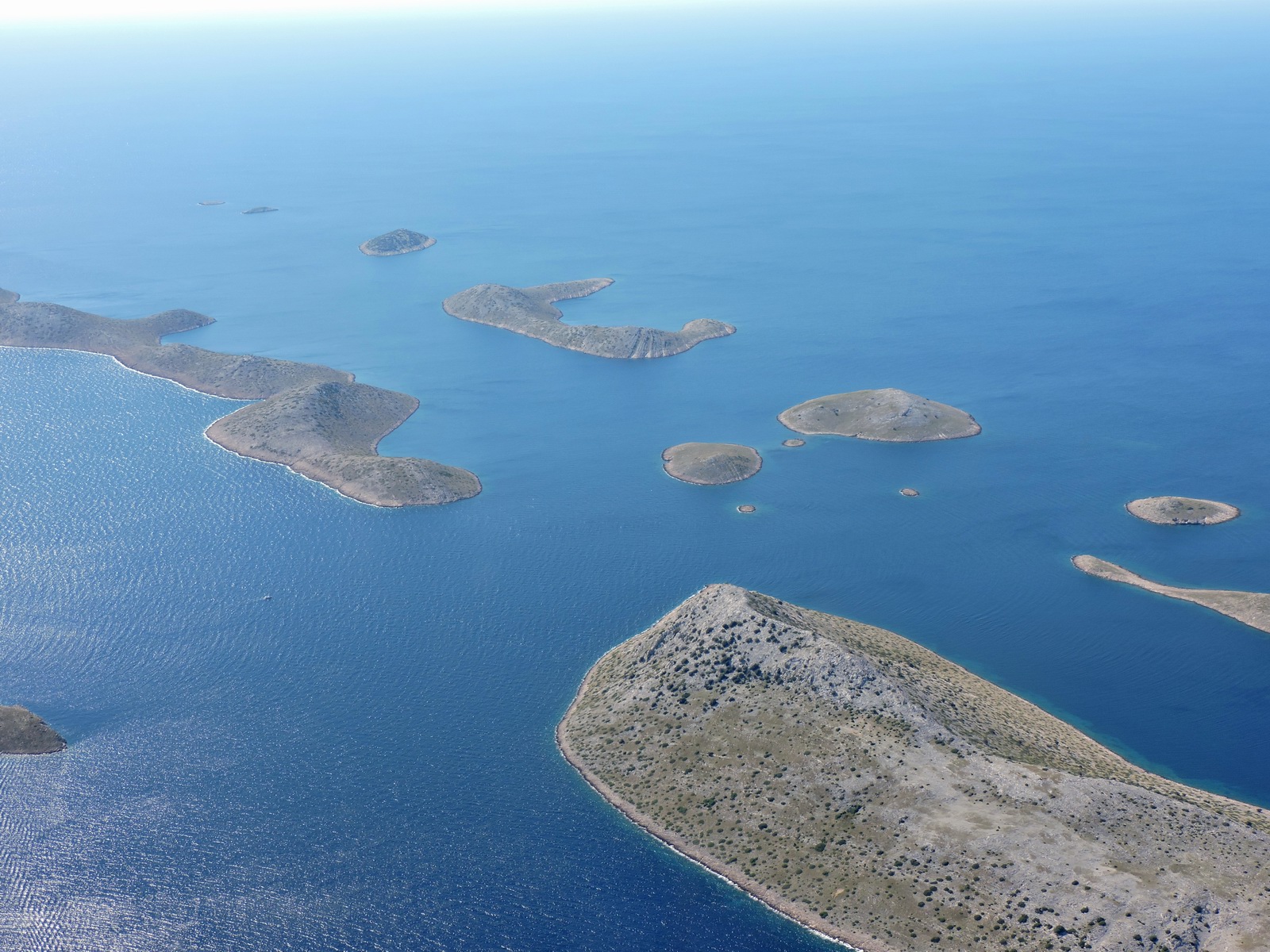
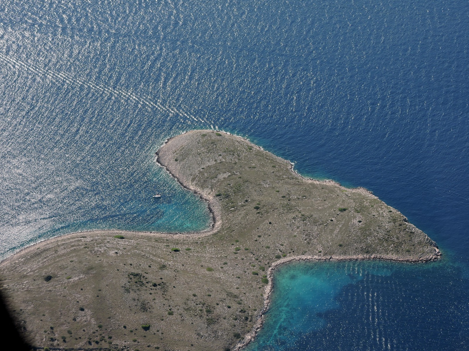
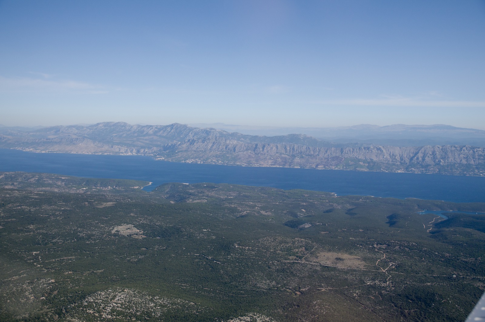
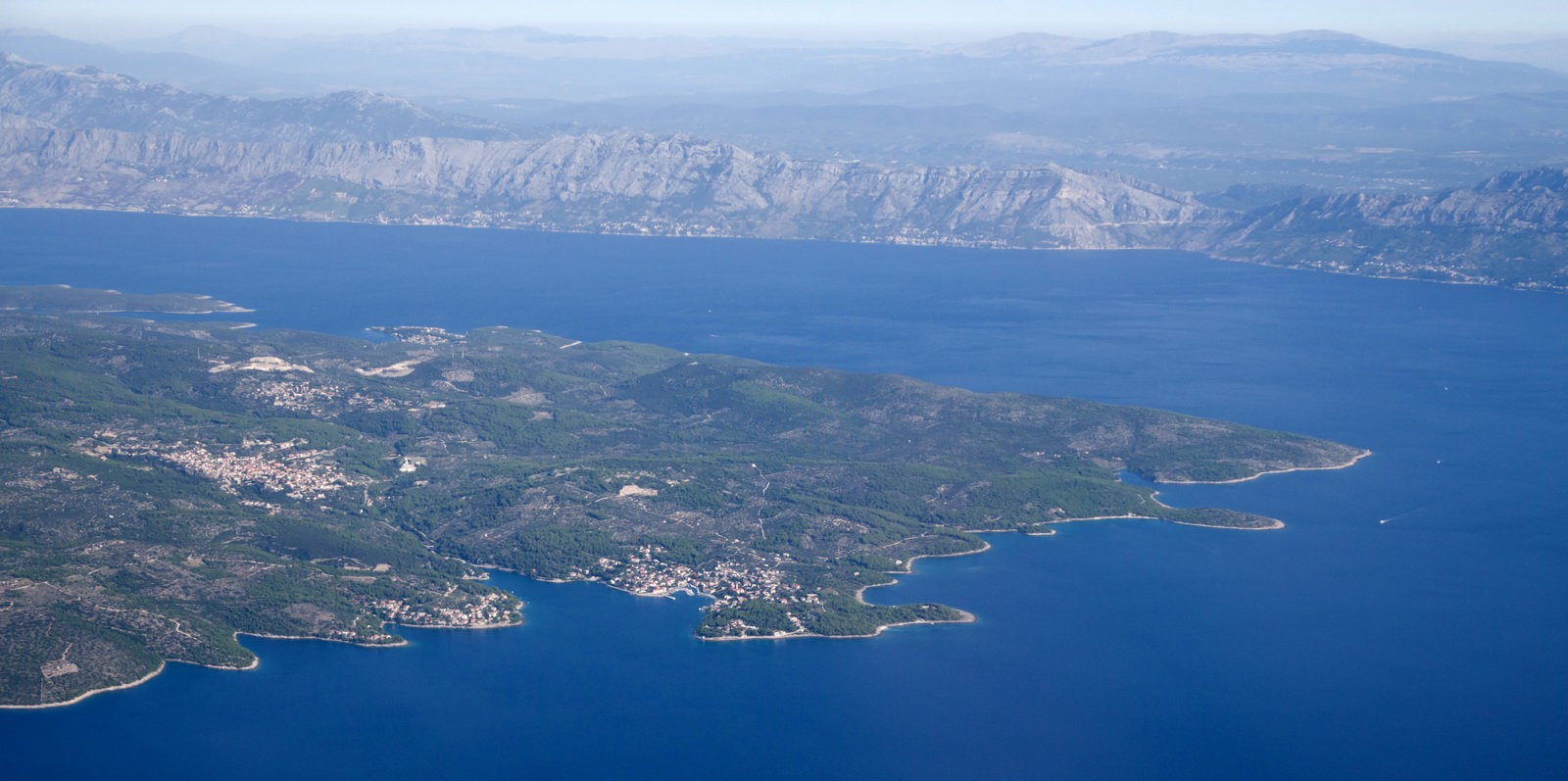
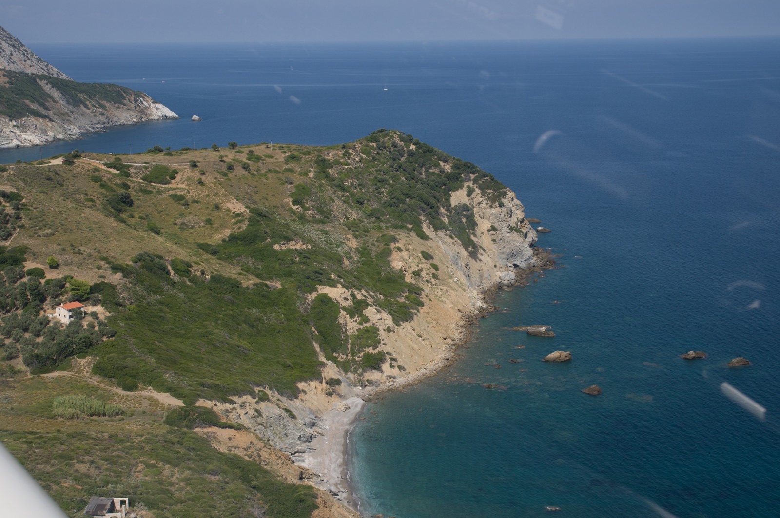
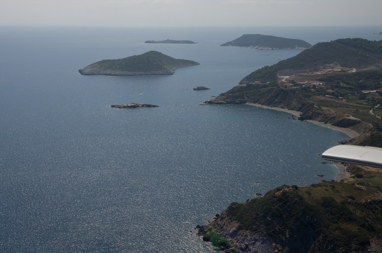
There are endless beautiful islands... I never get tired of flying down here, and this flight was especially scenic since it was at low level - around 2000ft. It definitely pays to have a good camera, not a smartphone, and take care to minimise window reflections. I have a piece of black furry cloth, about 0.5m x 0.5m, which I drape over my knees to prevent the kneeboard etc reflecting in the window, and "pro" photographers even wear black gloves. However the biggest thing is to have relatively scratch-free windows which I have managed to achieve even after 13 years of ownership of this aircraft.
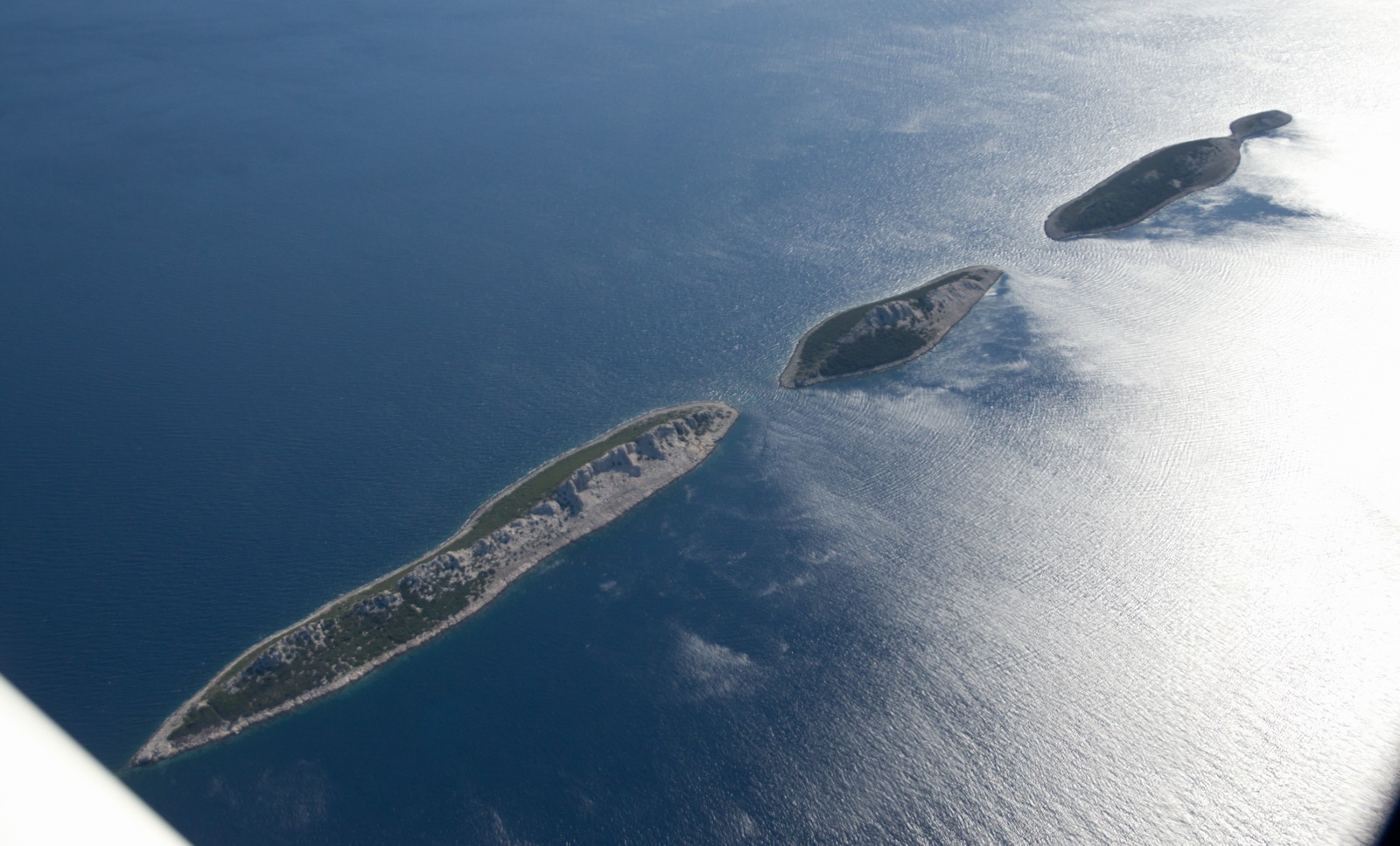
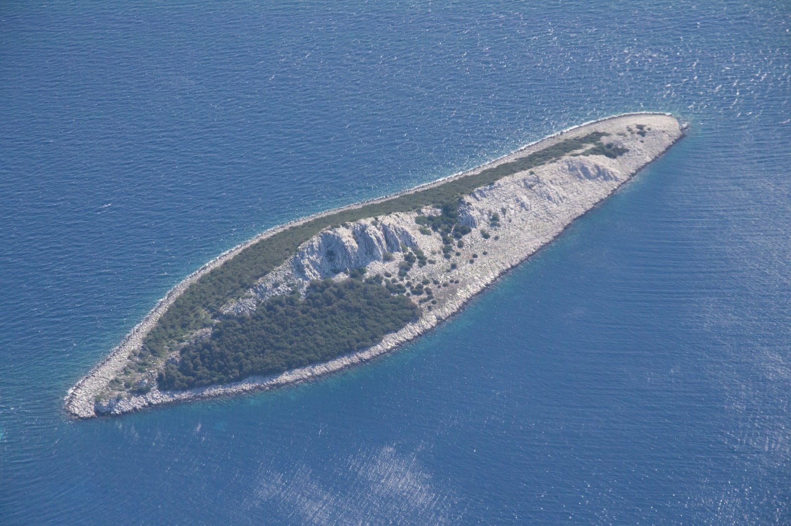
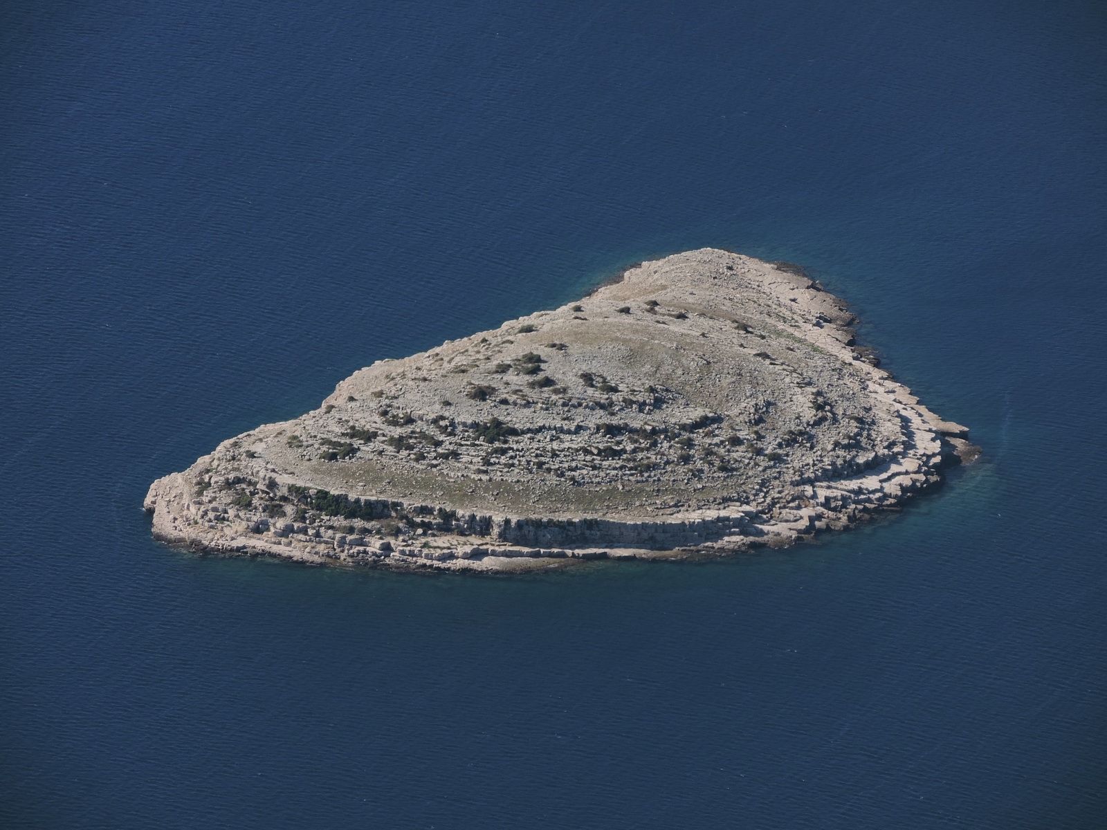
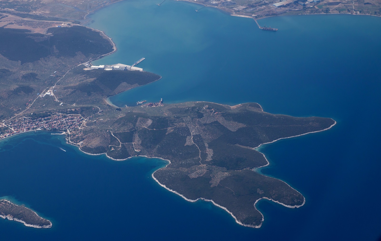
The majority of the islands are uninhabited although many have a house or two and maybe a small chapel
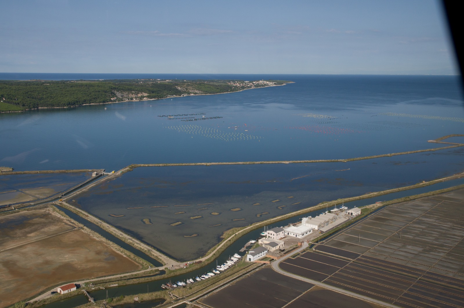
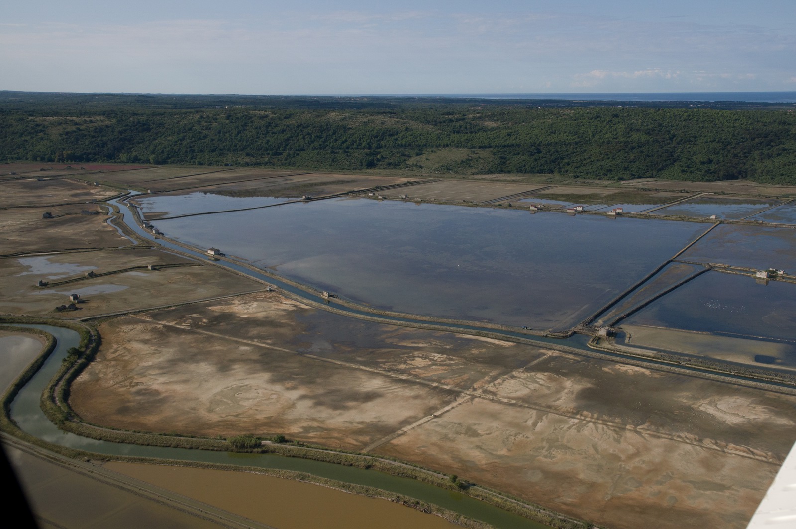
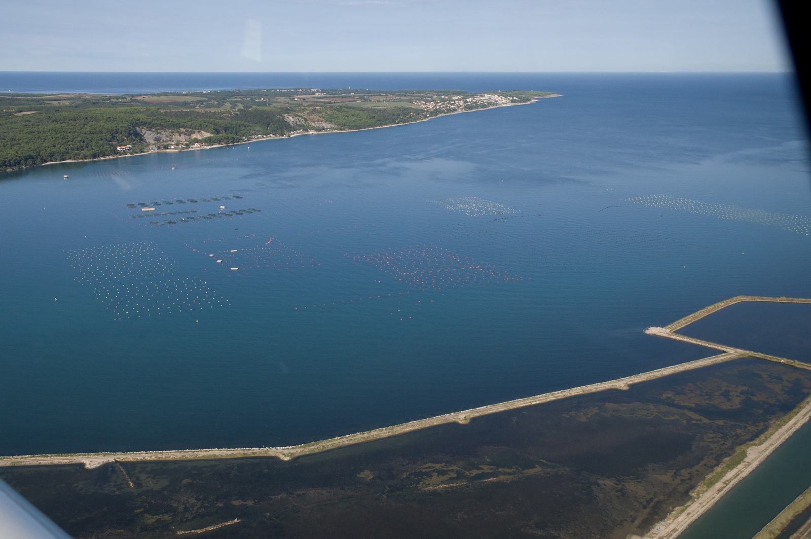
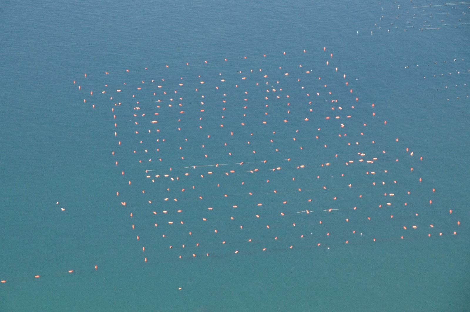
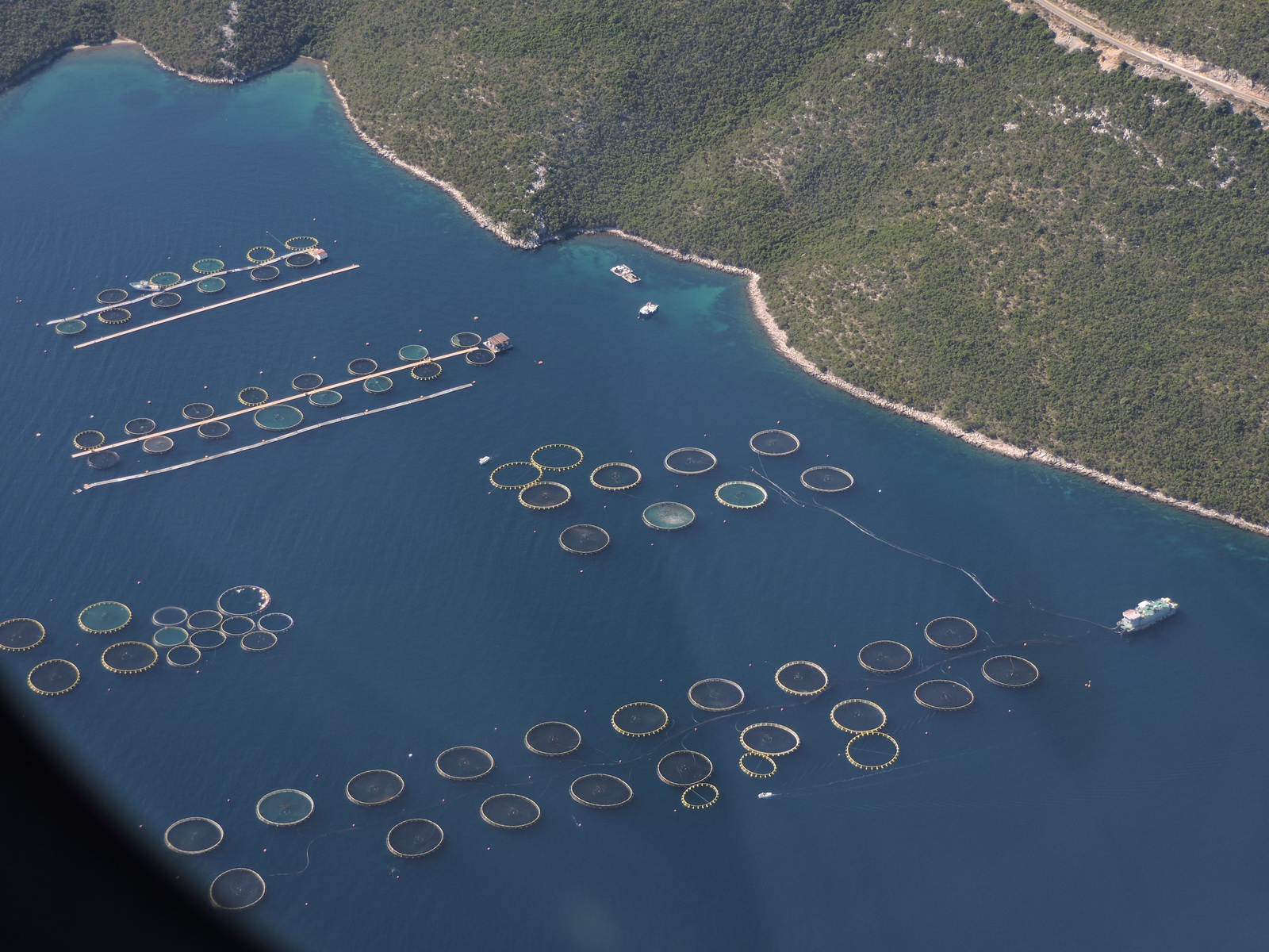
More fish farms
The two of us having way too much fun at 2000ft on the autopilot ![]()
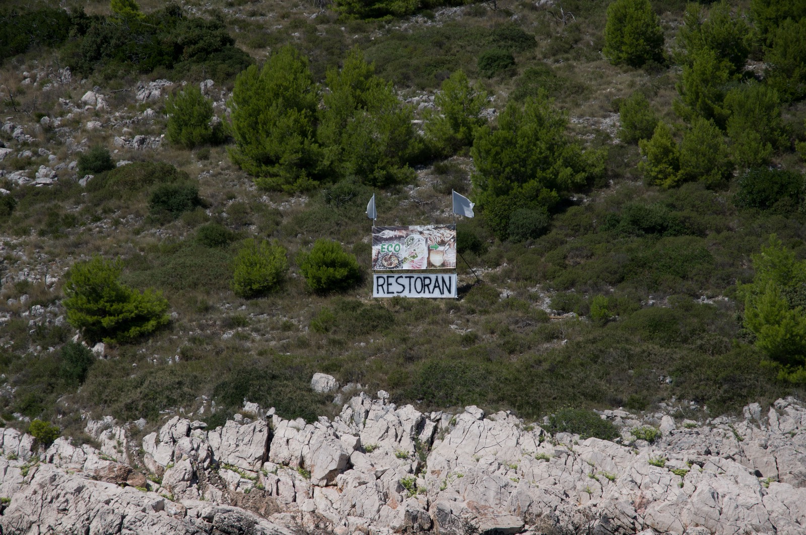
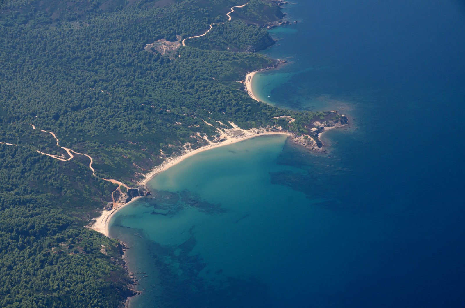
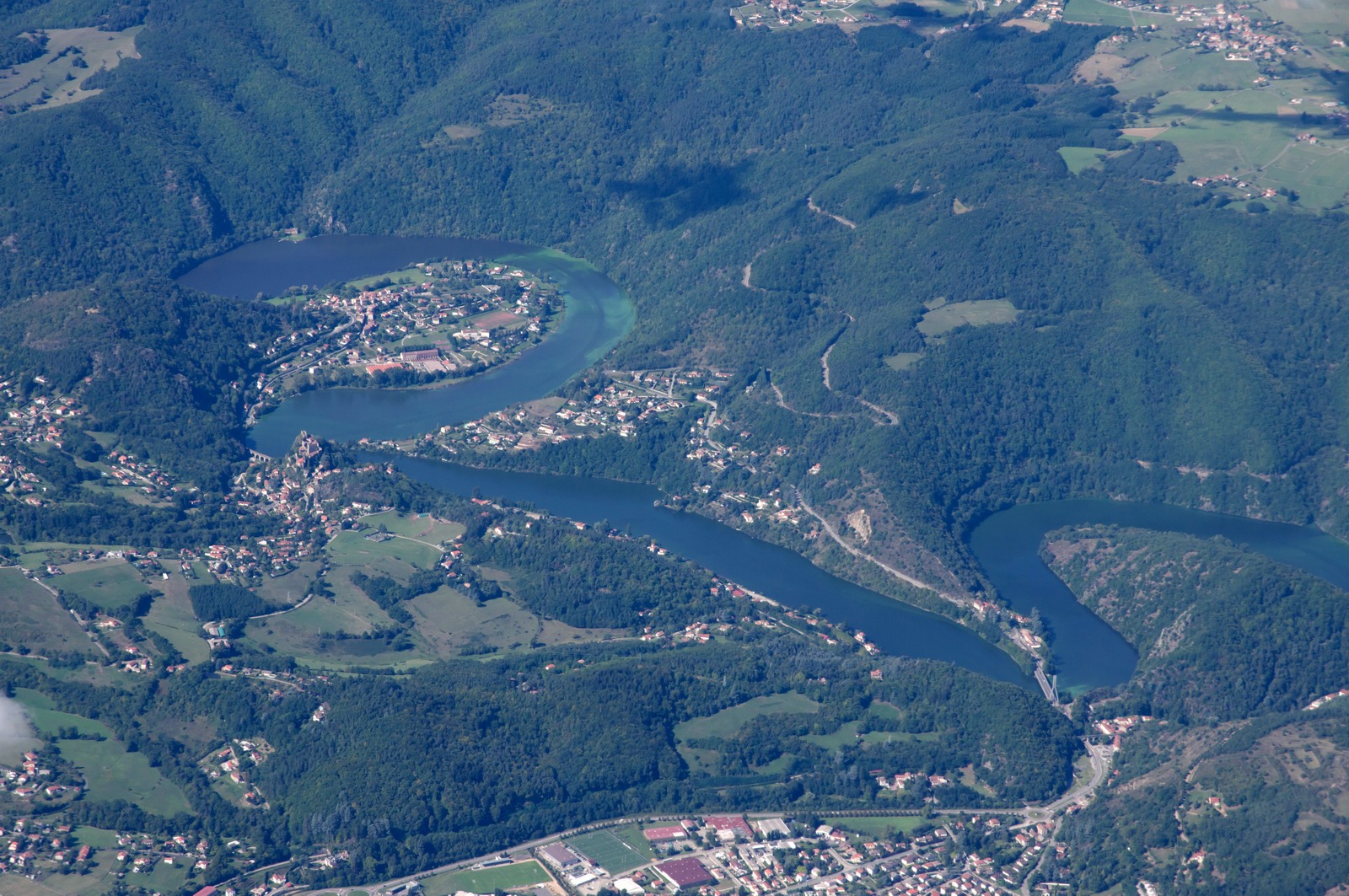
This picture is a really typical Croatian/Adriatic scene
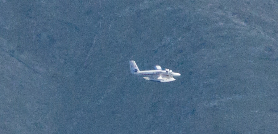
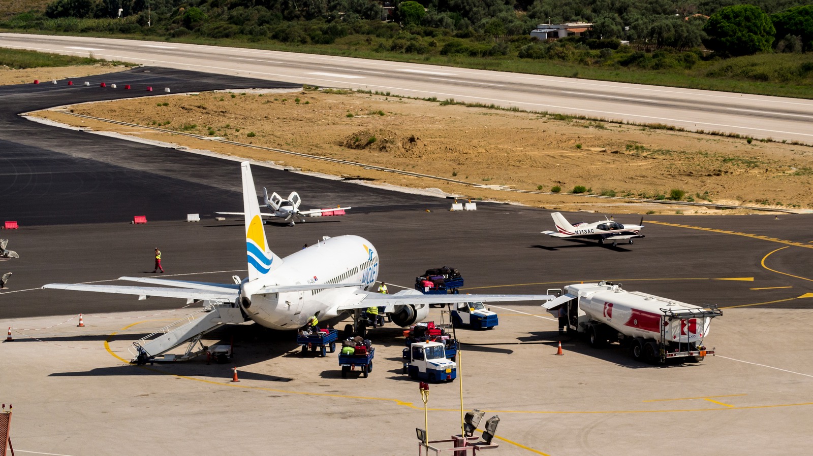
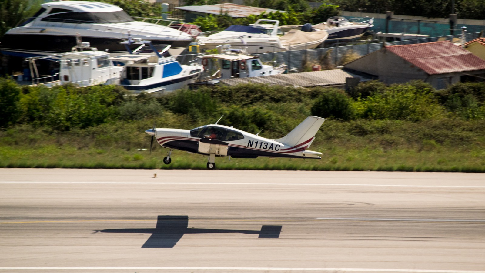
A floatplane followed us in to Brac. Split Radar was providing separation. Eventually we got it on TCAS and eventually we spotted it visually and got this poor quality photo. This service makes commercial sense on specific routes and will probably grow
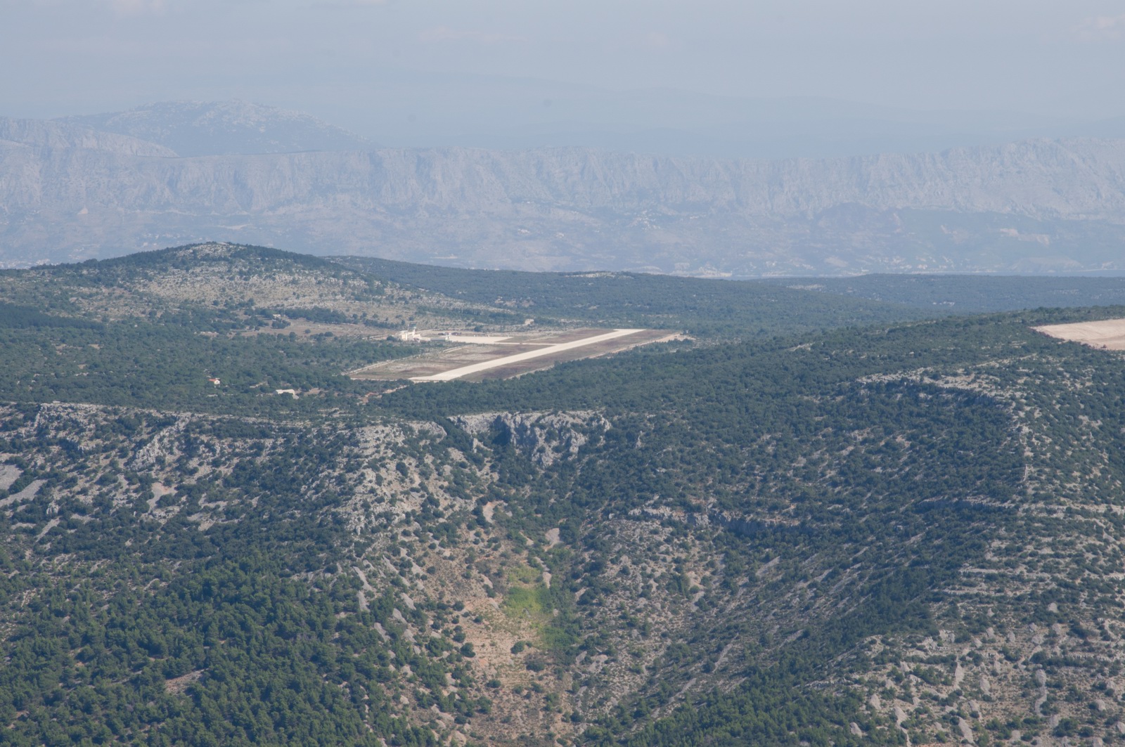
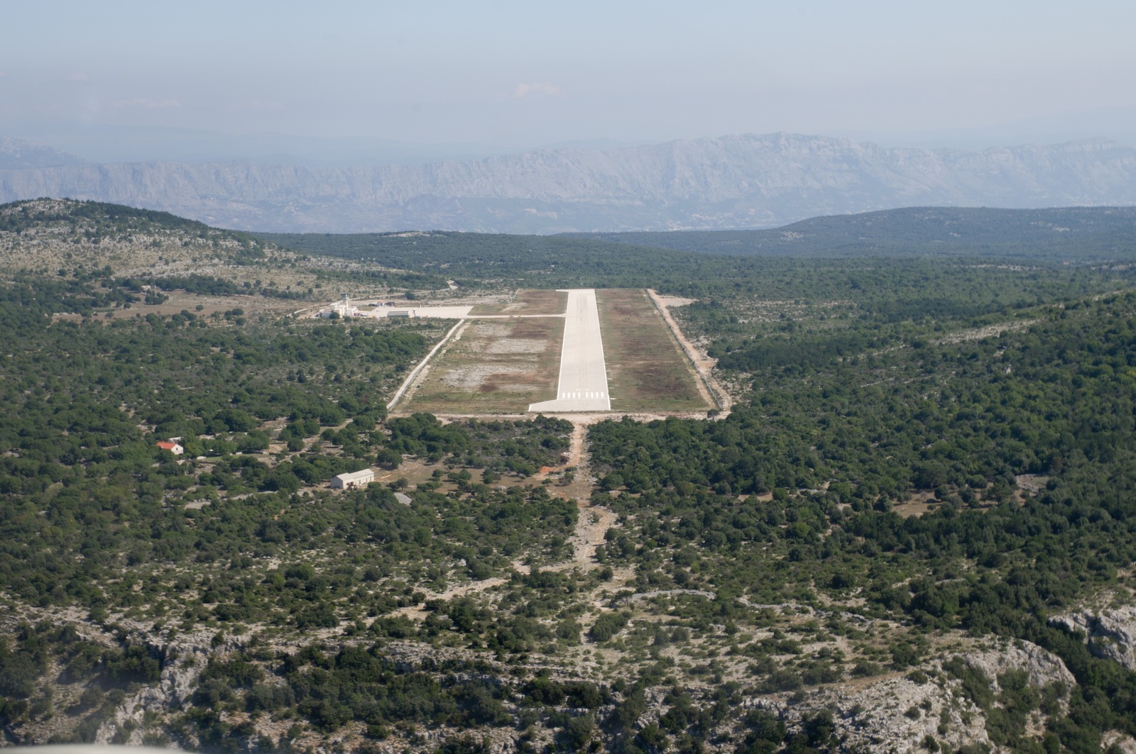
Following a recent cost saving policy introduction, there is nobody in the tower at Brac (most days) so we flew over it to check the windsock and then flew back out over the sea and came in on 04.
After Split asked for a descent to 1500ft (for a mysterious reason) we had to climb back up to 2700ft (1000ft AAL) to land at Brac!
Final for Brac LDSB runway 04
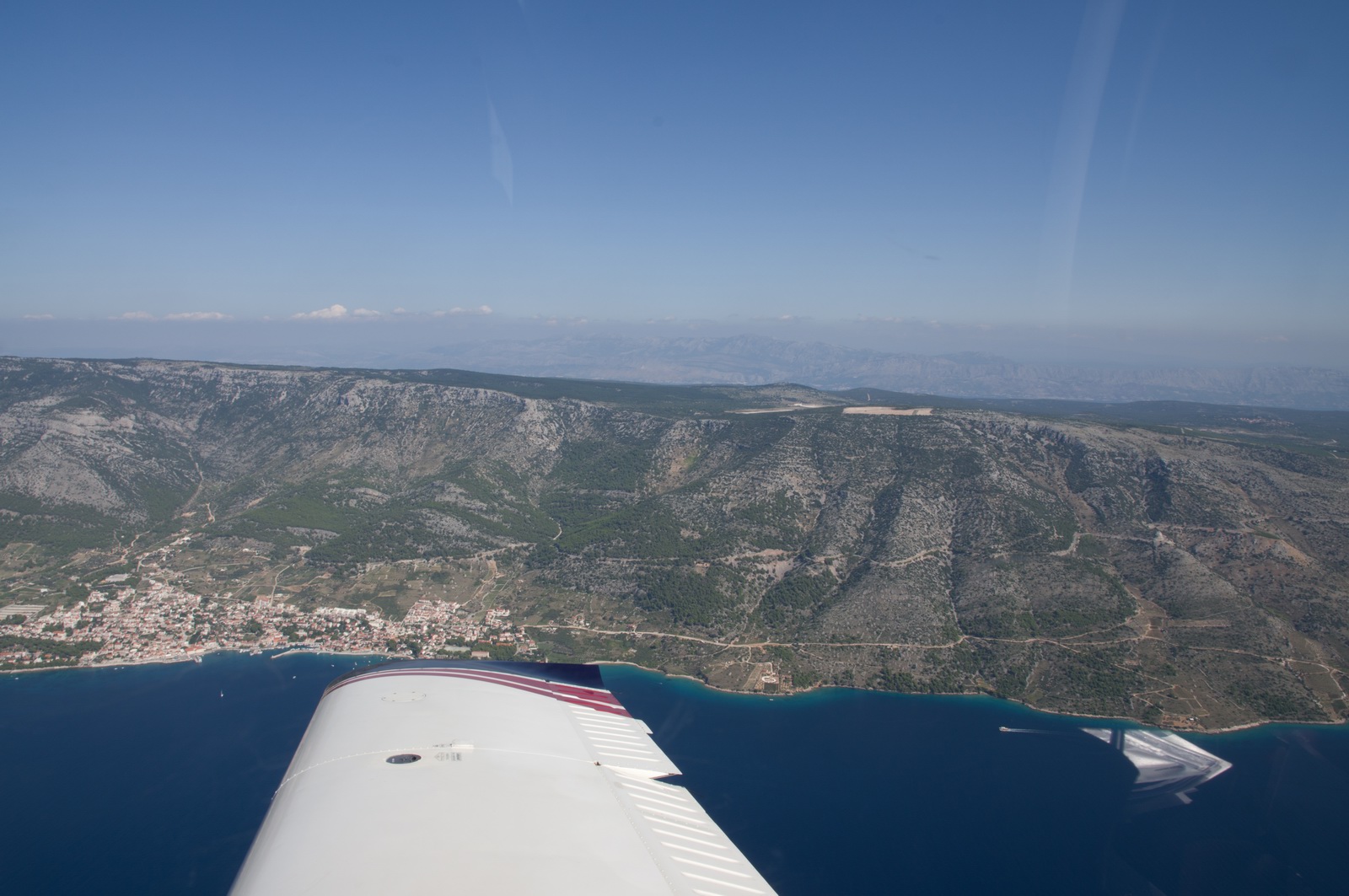
The "village" of Bol
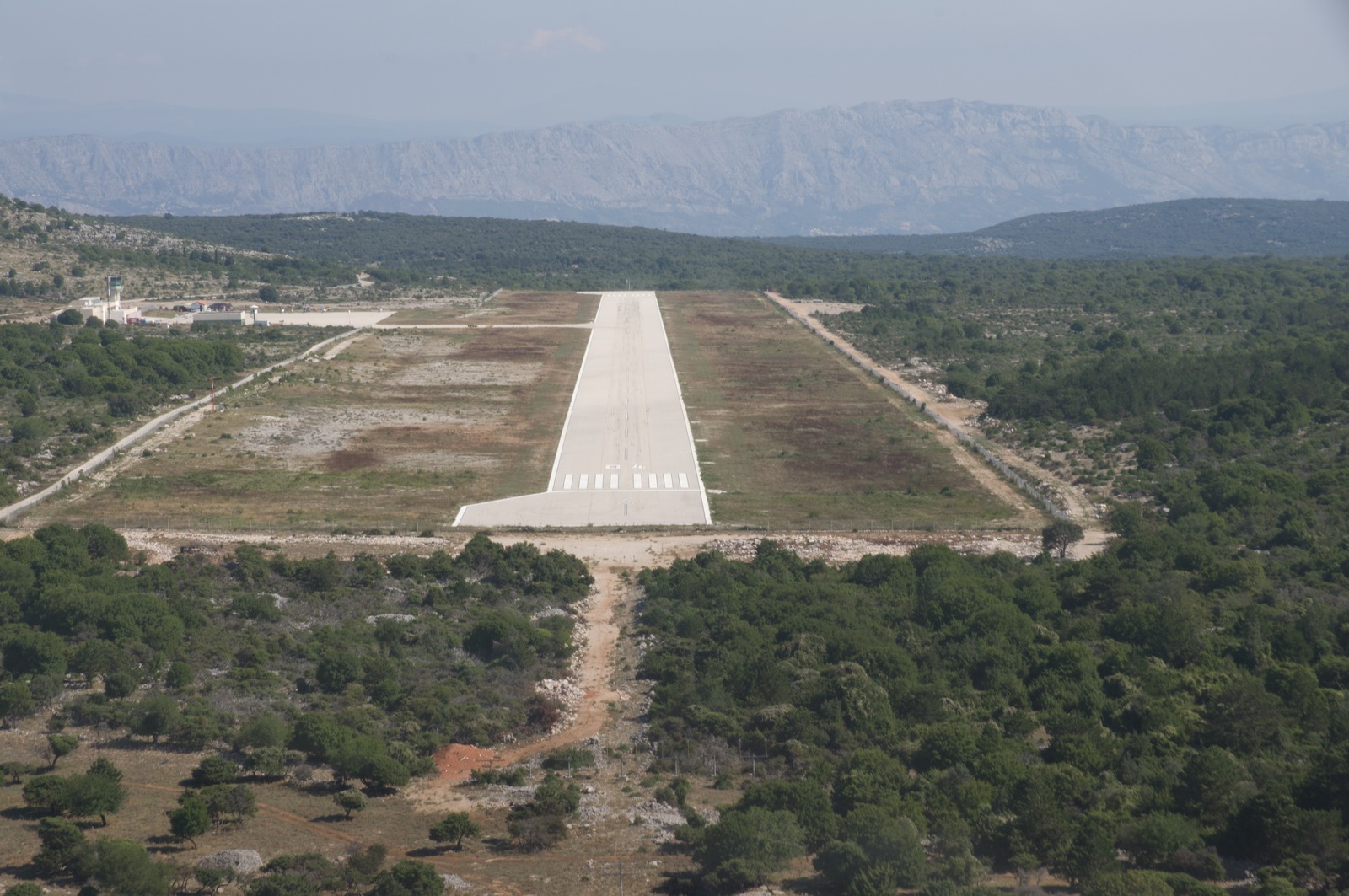
If you have a lot of wind when approaching on 04, you can obviously expect
the wind to flow downwards off that cliff, so a shallow approach is not the
greatest idea ![]()
For a short stay on Brac, say 2 nights, Bol is probably better than Supetar because it is close to the airport and is a really scenic spot. It has limited options for activities etc but you won't be doing much on such a short stay anyway. It does however contain a bunch of fair size hotels (hidden well away) so it does have shops. For a fly-in to Brac I would recommend Supetar purely because there is more to do. The taxi to/from the airport to Supetar is about €40-45 which for a 30-40 min journey is a lot but taxis always charge a lot. A taxi to Bol is about 1/3 of that.
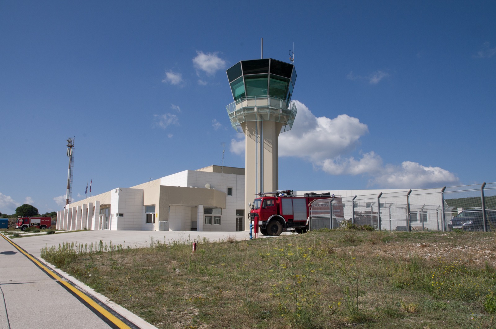
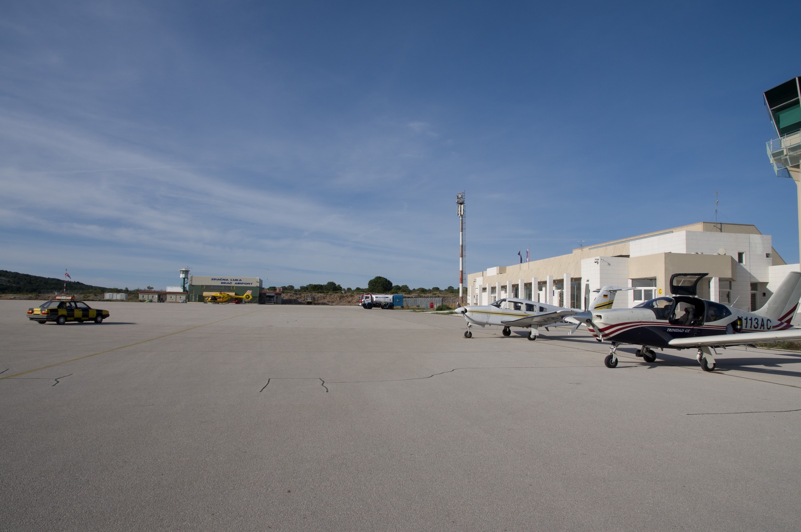
Despite nobody up in the tower, everything on the ground was working and was super efficient as always.
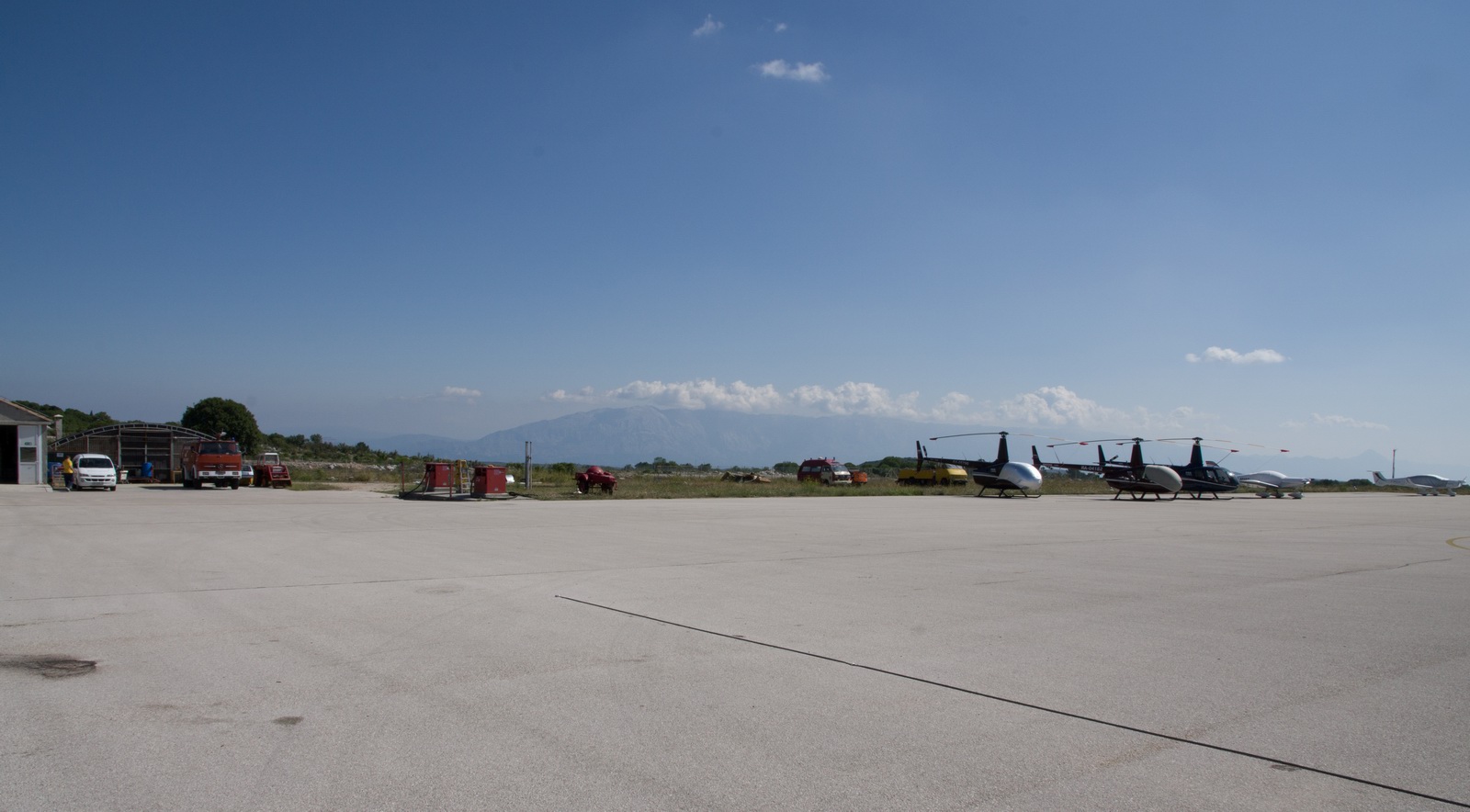
Parked up… AOPA members get 50% off and every 3rd aircraft gets free everything. The AOPA discount is worth getting because Brac is not a cheap airport anymore
Apparently the reason why Brac is perpetually threatened with closure is because it is surrounded by a vineyard whose owner wants it shut, but the politicians have over-ruled him. They are reportedly planning to build airports on some other islands so they don’t want to close this one.
It would in any case be silly to close the airport because, once built, it costs very little to just keep it open most of the year. It is partly closed through the winter anyway; there is a process to get in there with a 24hr notice.
This was the route actually flown - plotted in Google Earth from the Oziexplorer GPS log
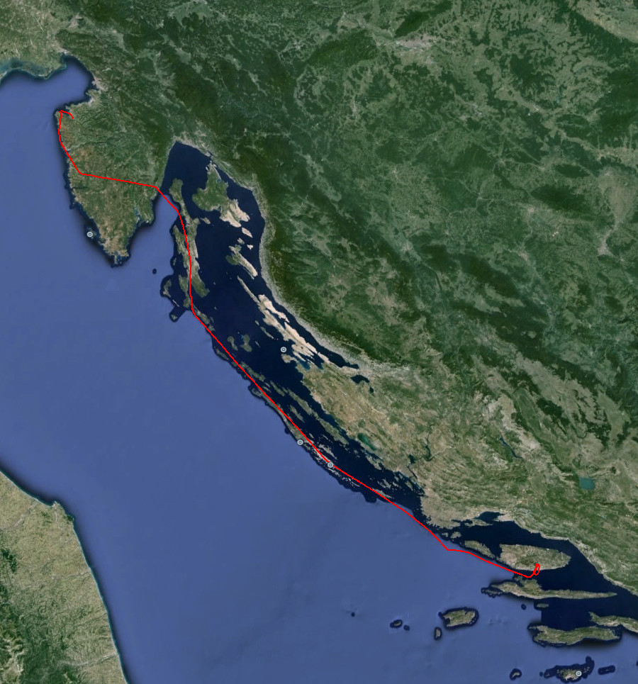
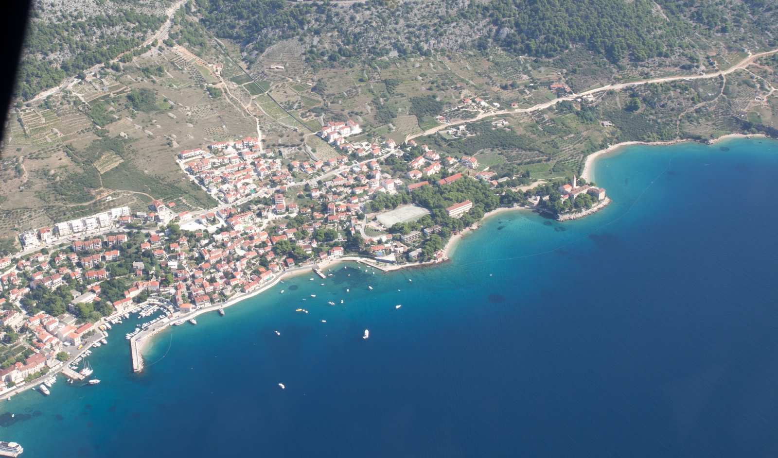
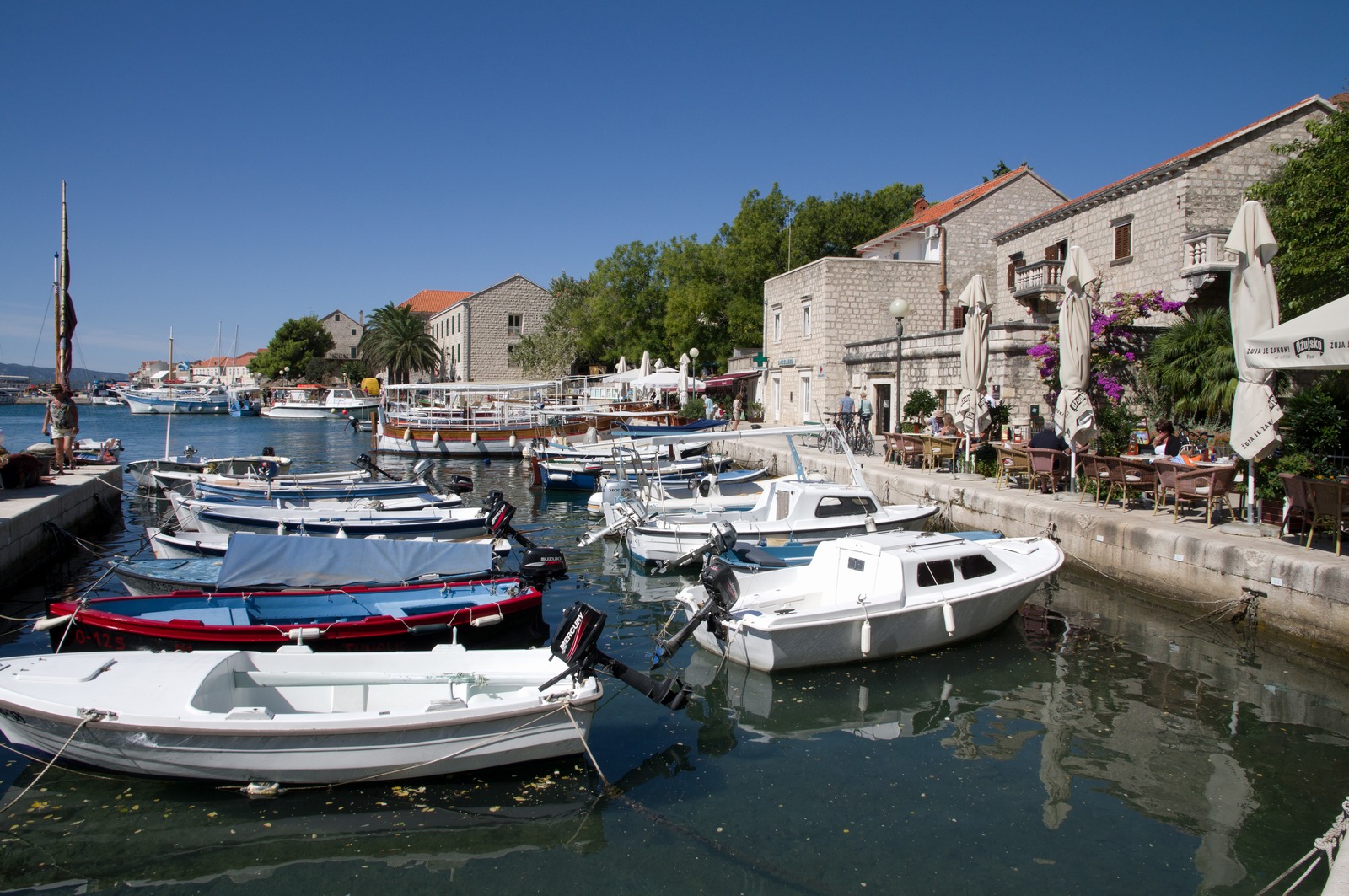
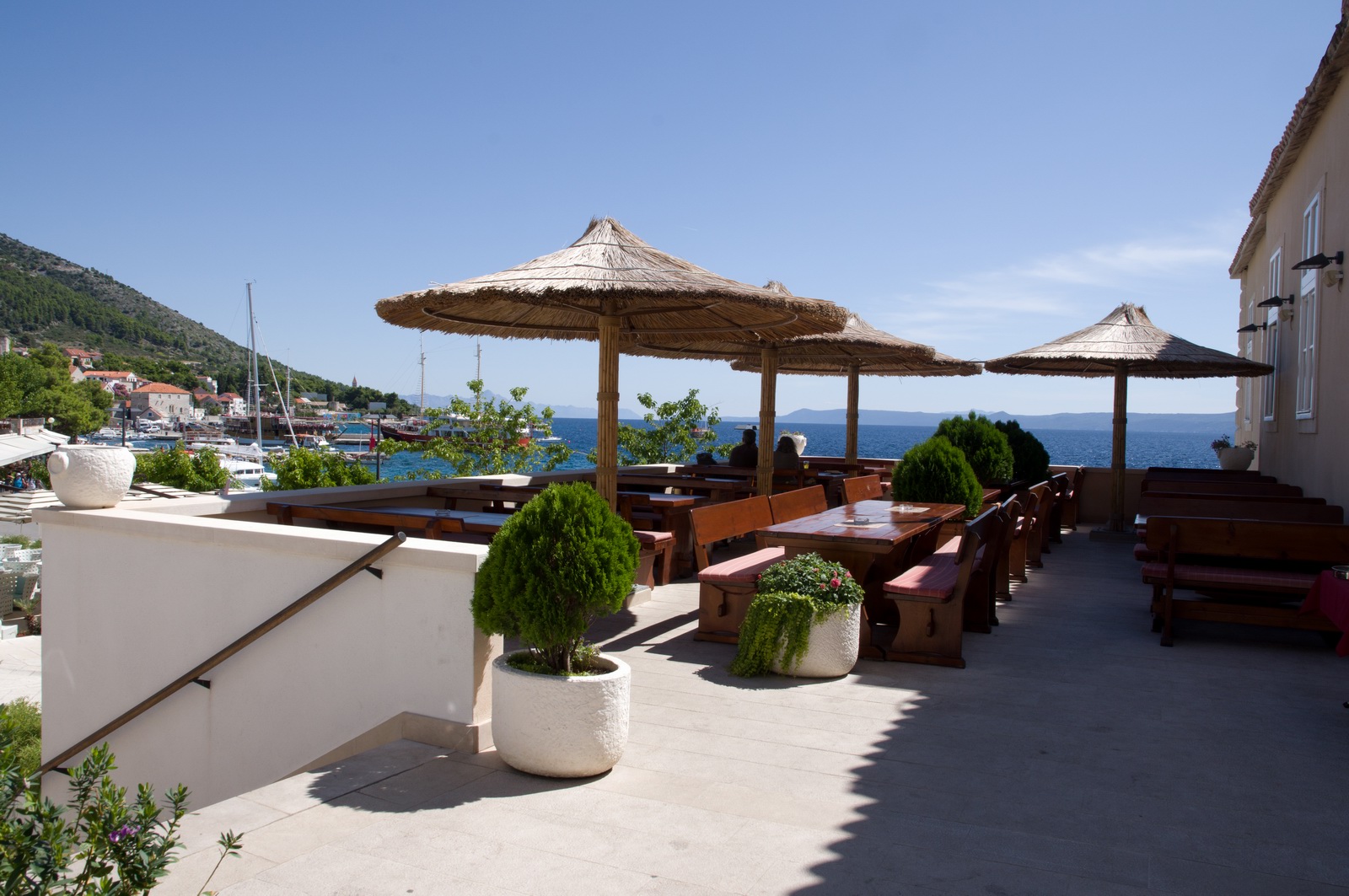
I have been to Brac before a number of times but my passenger Colm had not. One has two main options for staying: Bol (the small place right under the airport) or Supetar (a proper functioning town with a lot more going on, including boat trips to various places).
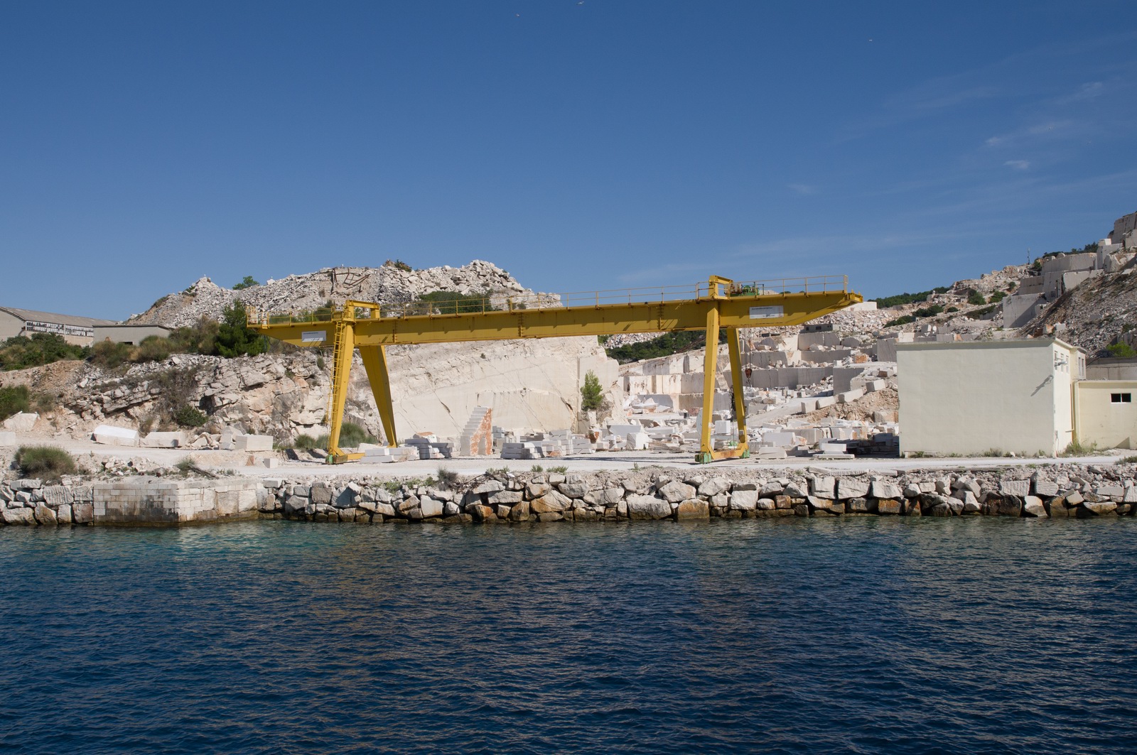
Brac is known for its white stone which is used extensively around Croatia. It was also reportedly used in the White House, Washington, USA.
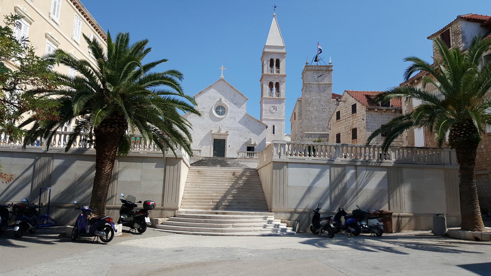
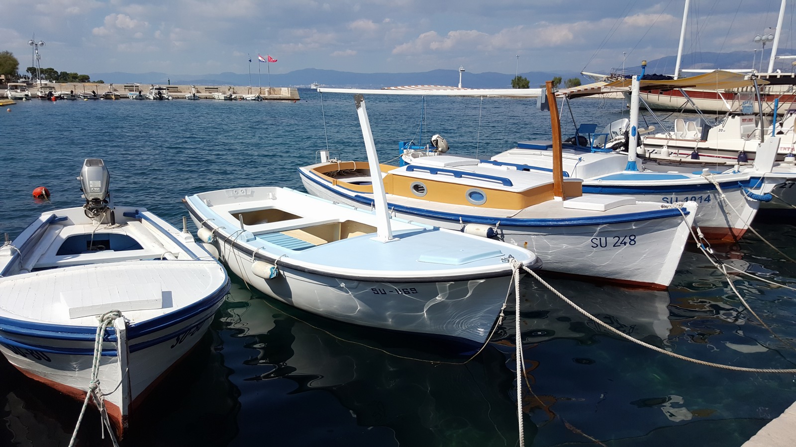
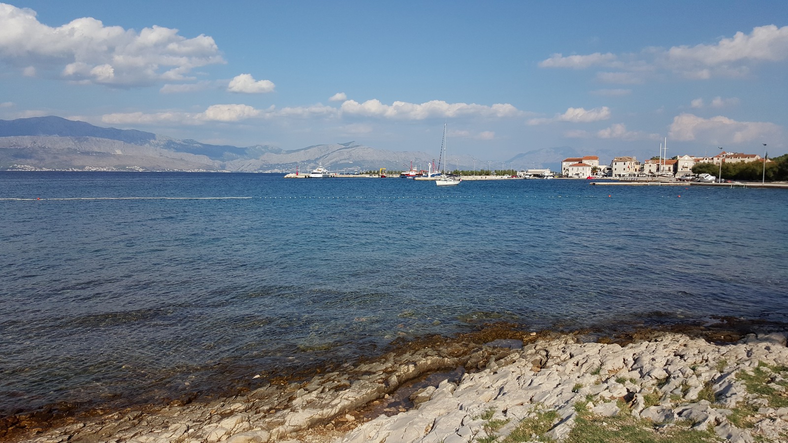
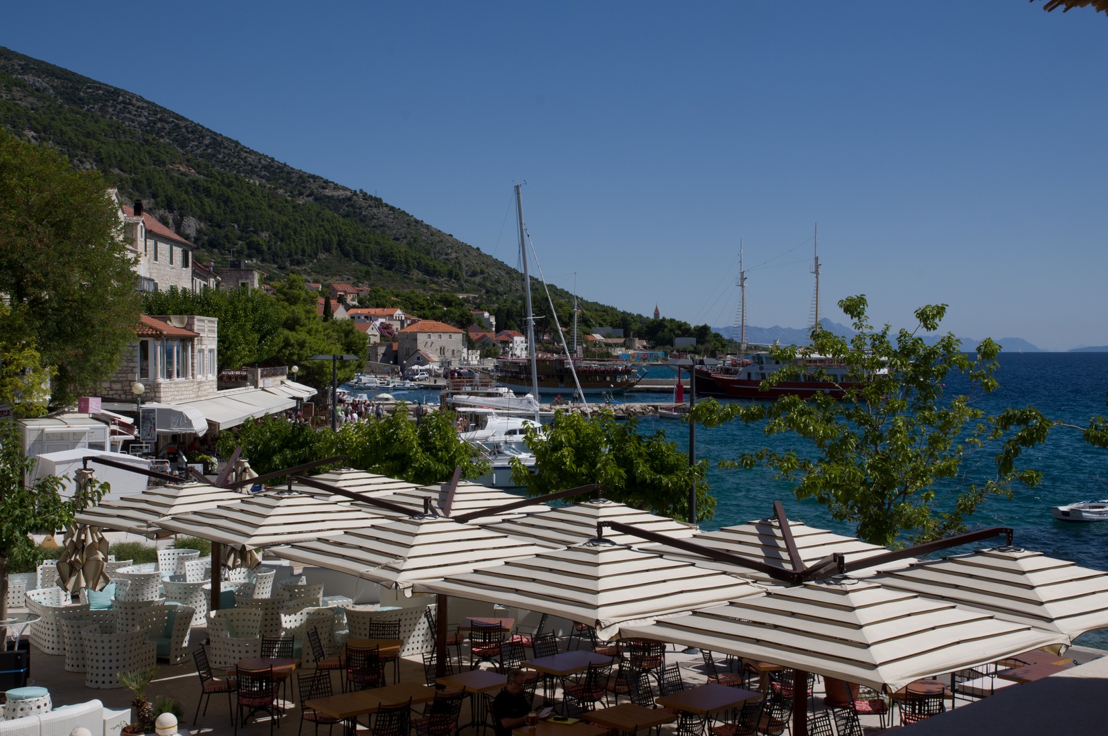
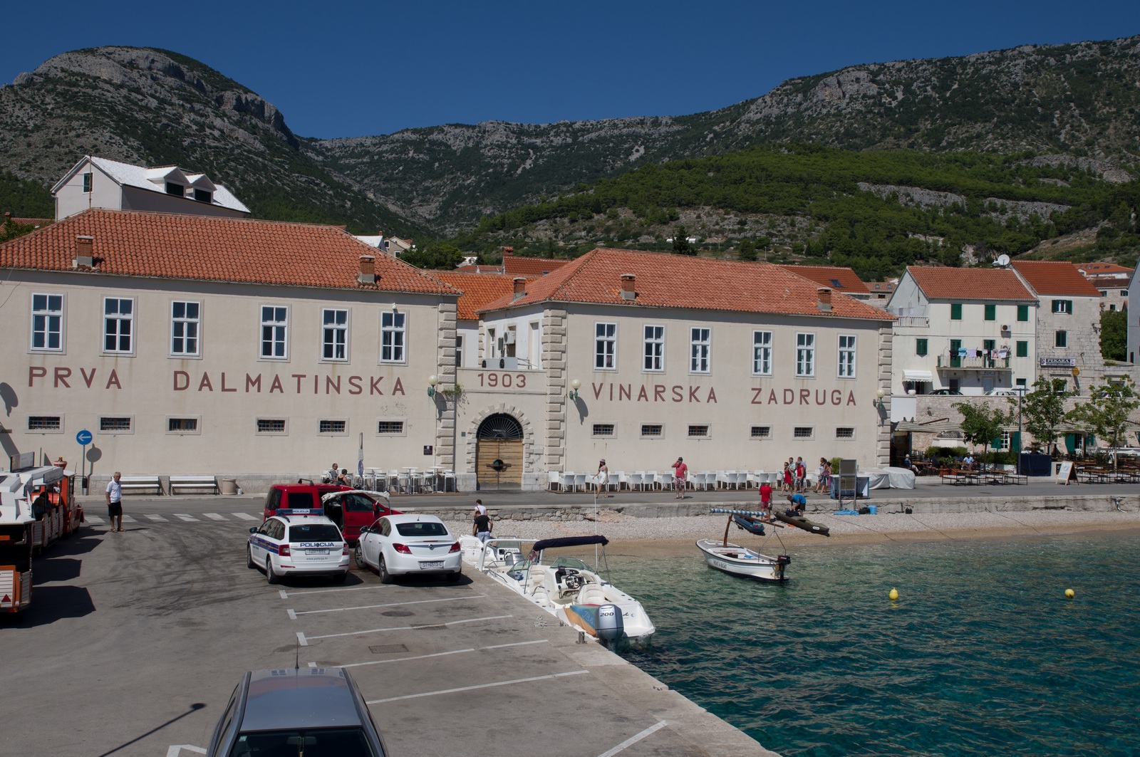
Supetar harbour
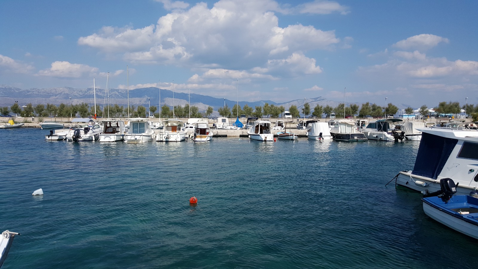
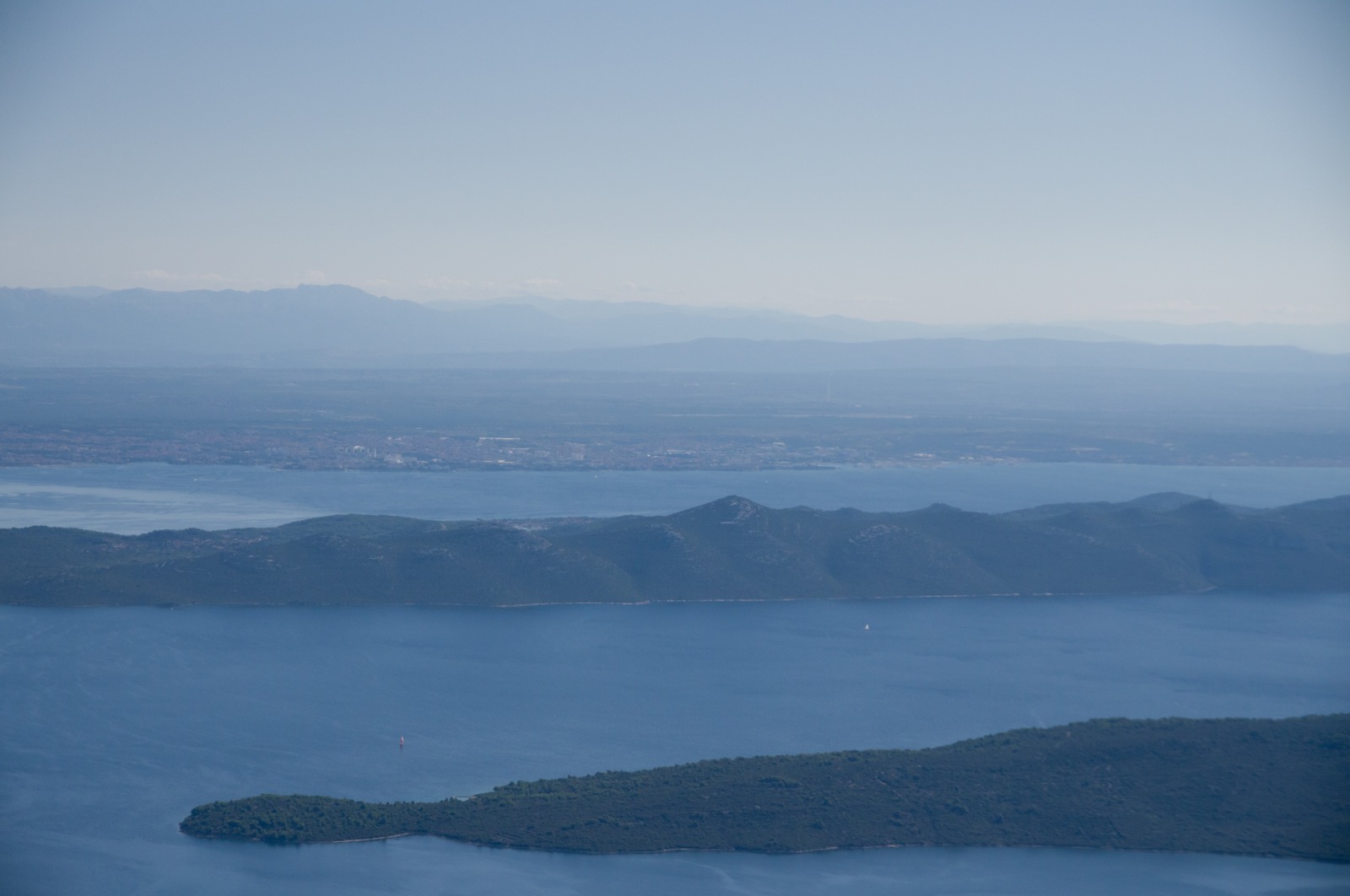
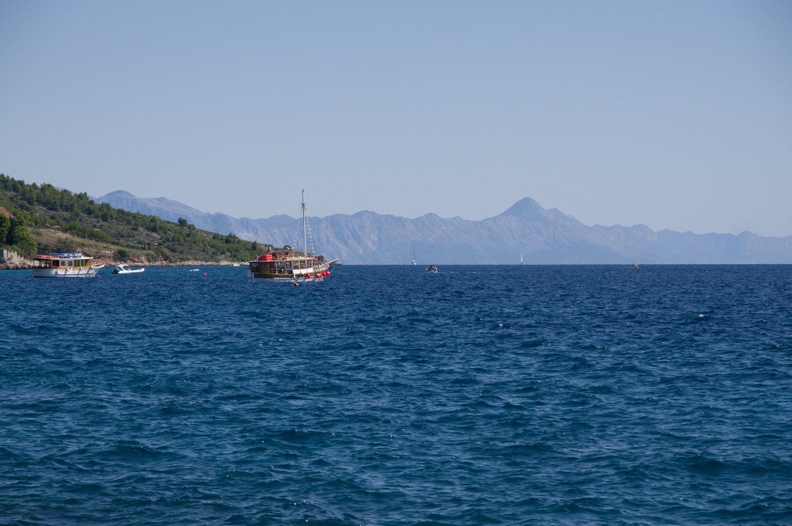
Croatia mainland in the distance
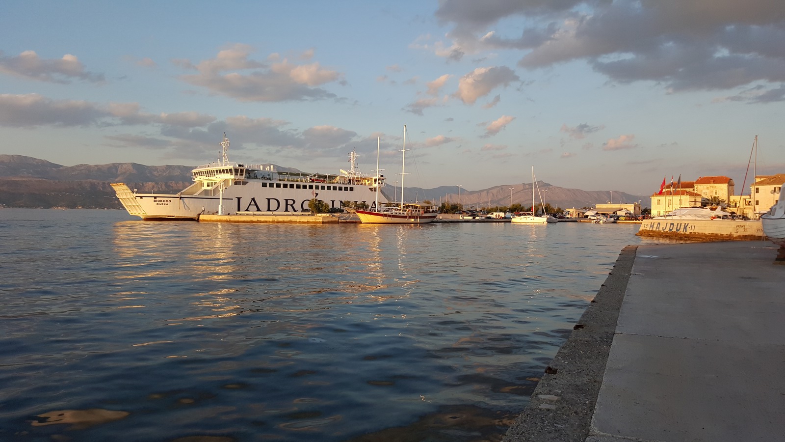
Jadrolinia is the national ferry business and is a constant presence along the Croatian coast and it's islands
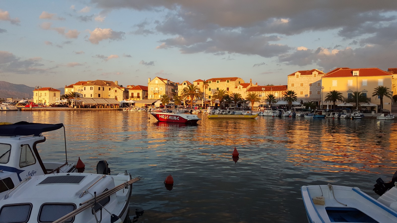
Evening light makes for interesting photos ![]()
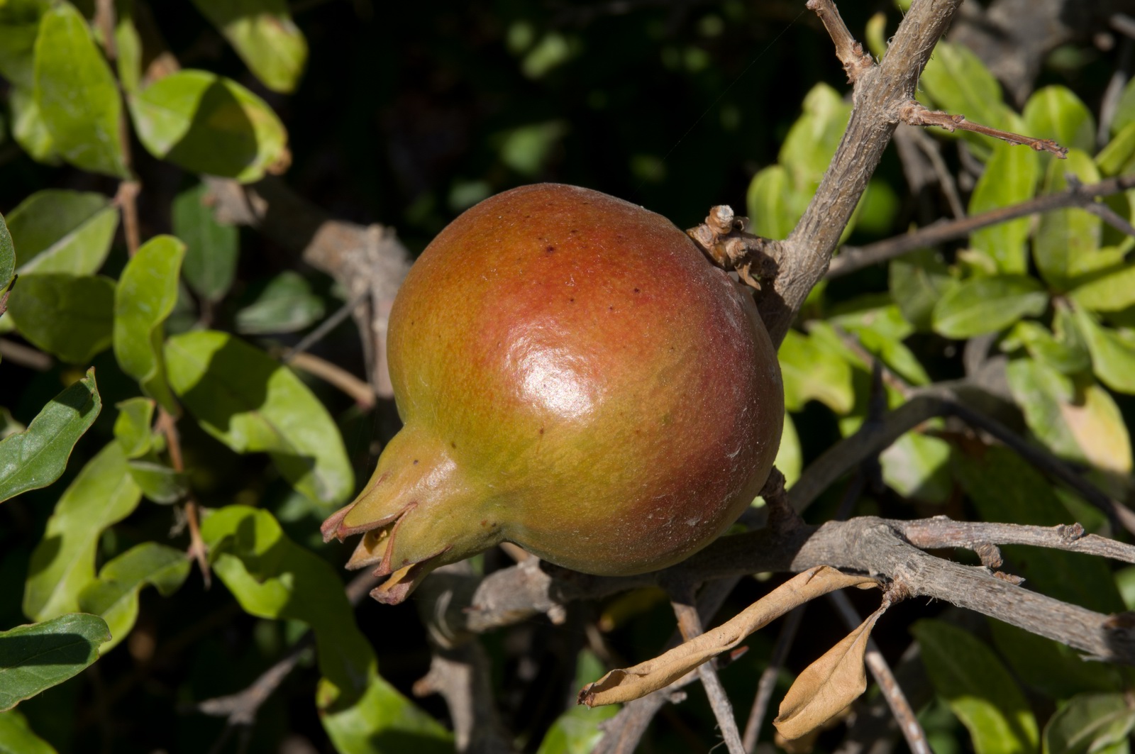
Pomegranate grows everywhere

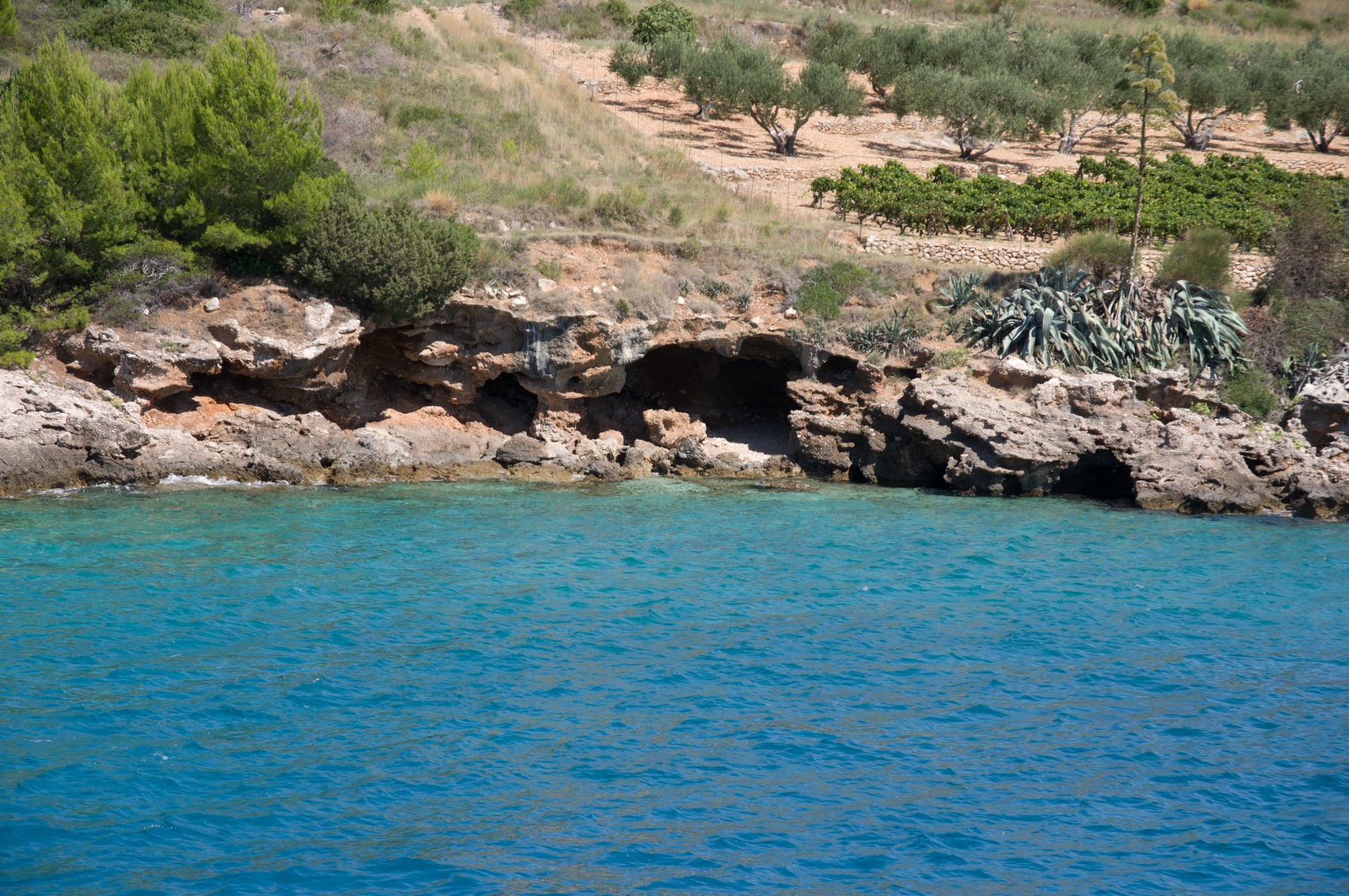
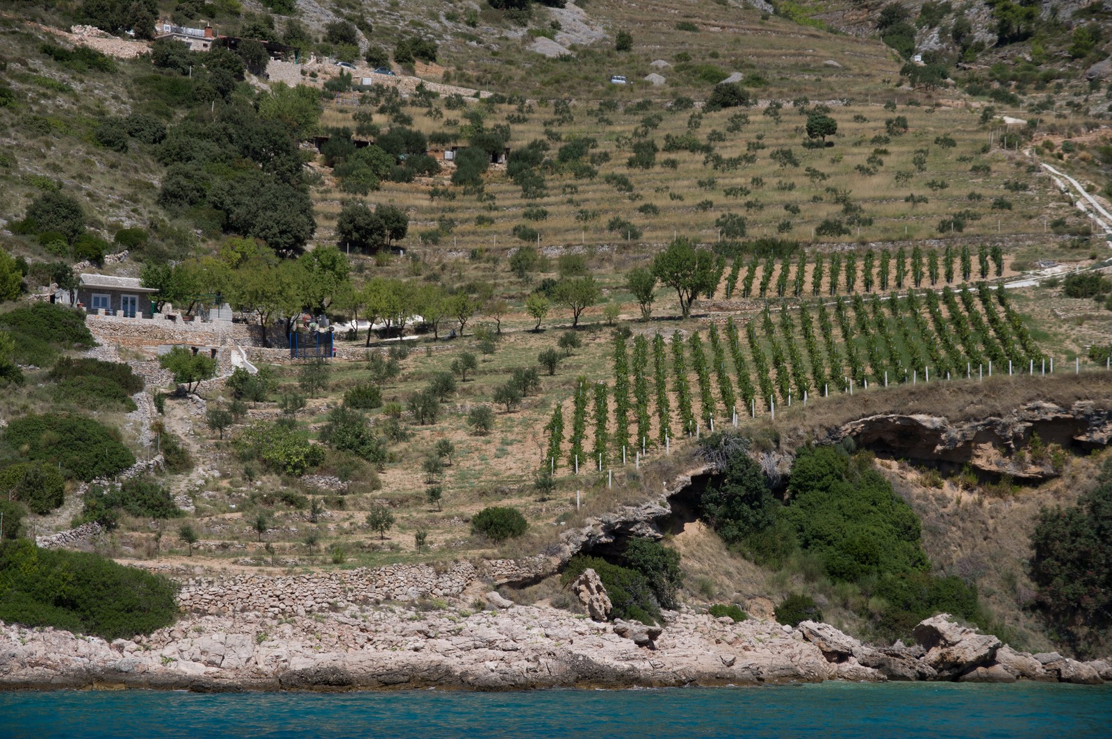
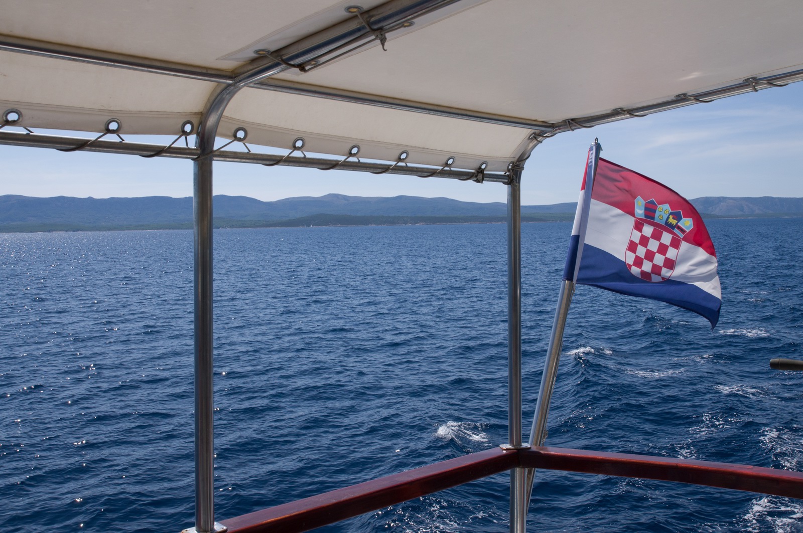
We did a great boat trip all the way around the island

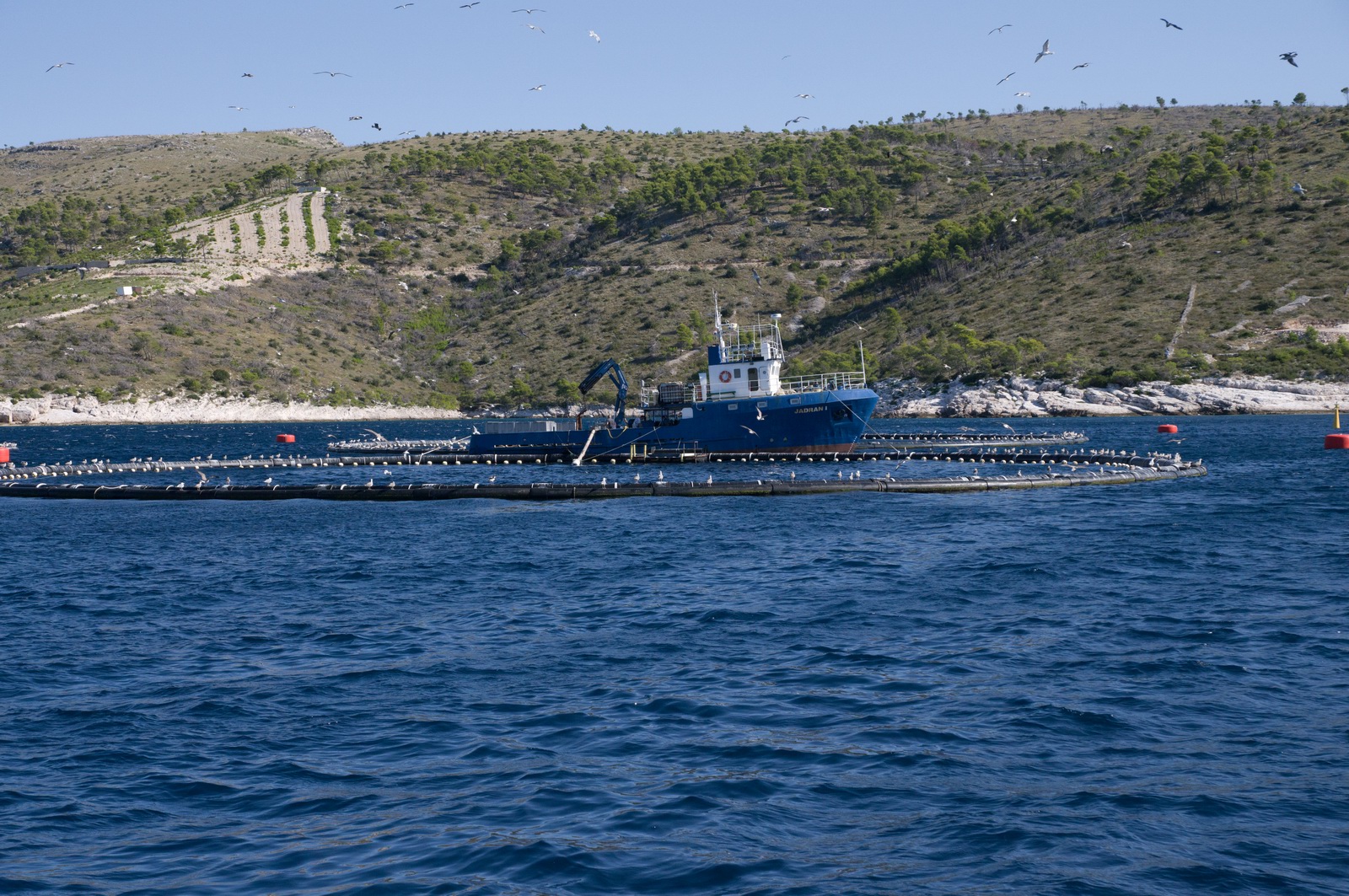
There is a lot of fish farms. The Adriatic has been seriously over-fished and
the better fish is very expensive as a result - easily €30+ for a "1kg"
fish which is not that big by the time you cut off the bits you can't eat ![]()
This is a poor photo of the entrance to the mysterious submarine pens described here
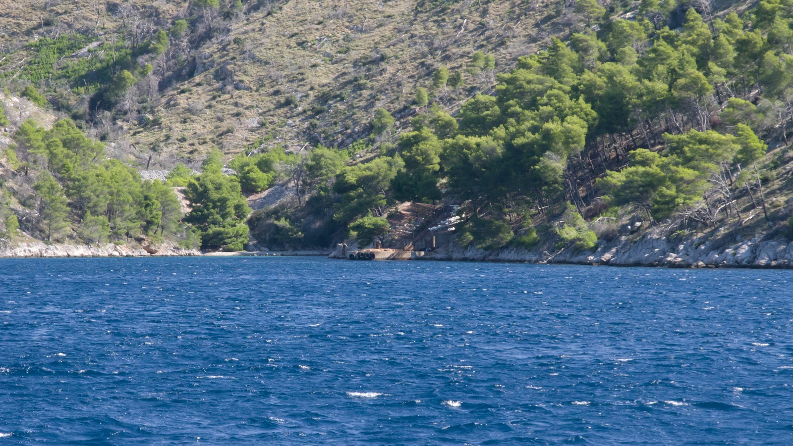
There are countless lovely beaches although many are accessible only via a boat
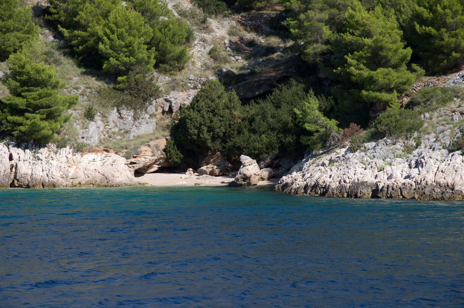
This is Bol; the boat stopped there on the way around the island
and we had an excellent lunch
This looks like they had some bad weather ![]()
We stopped at a stone cutting factory
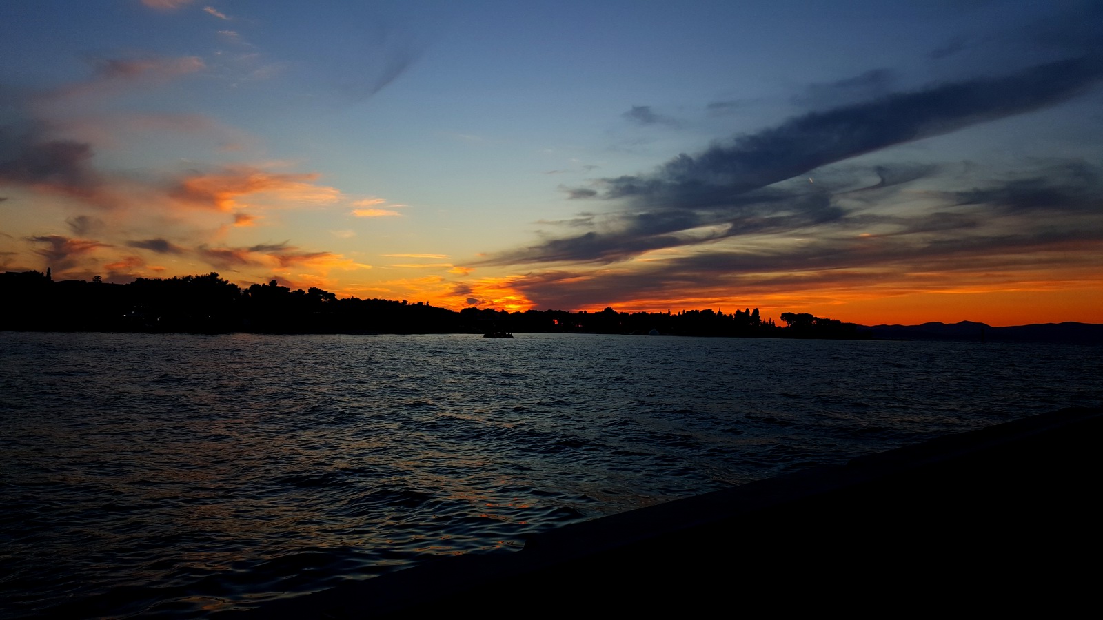
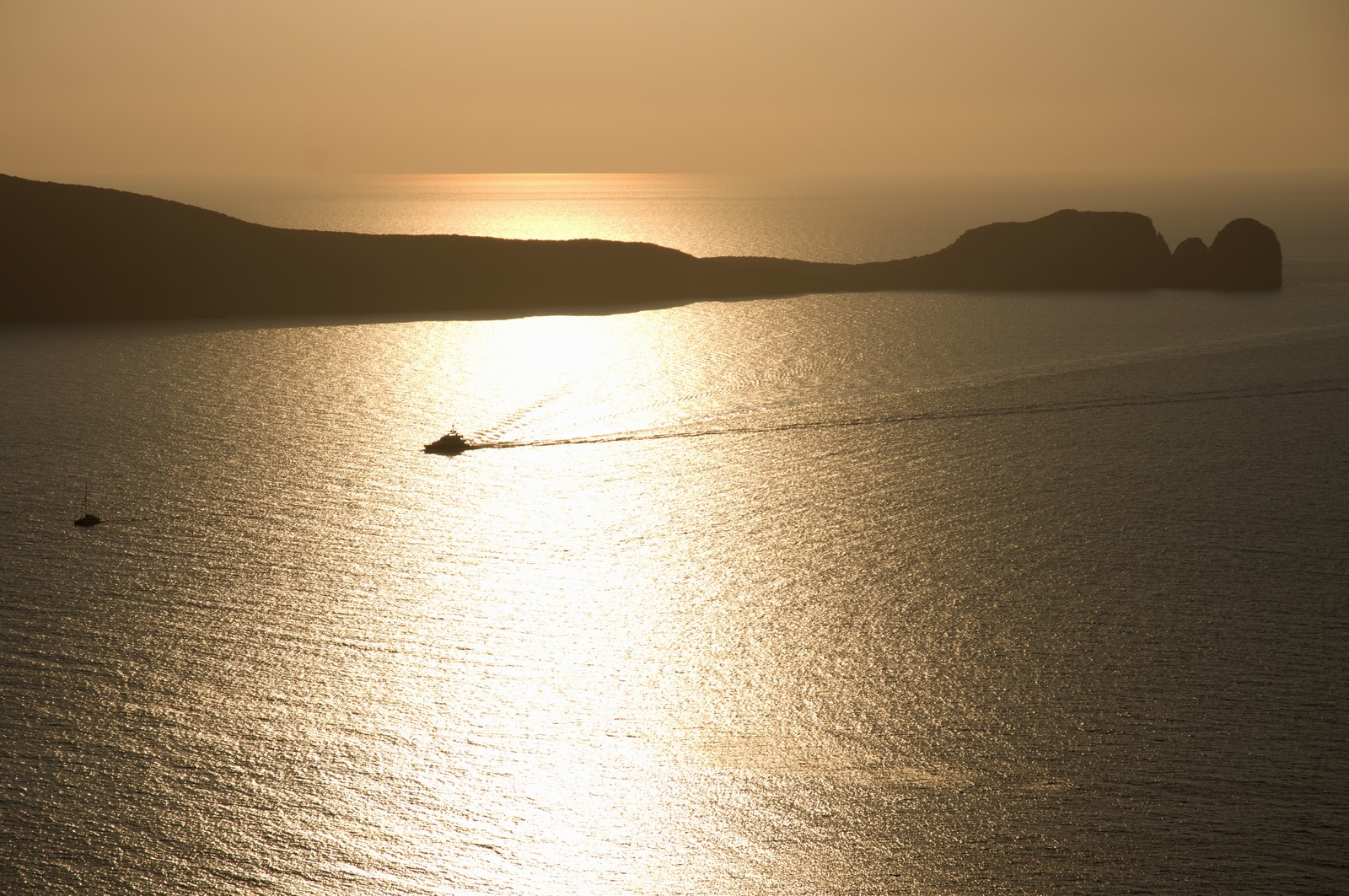
The obligatory sunset ![]()

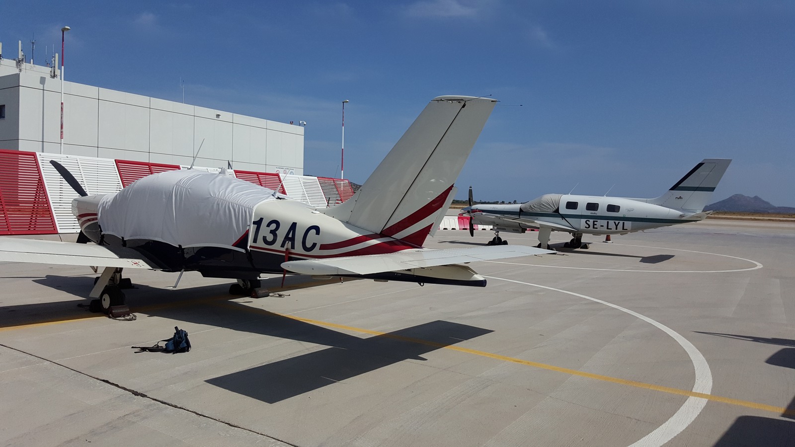
Not very much had changed at the airport when we returned...
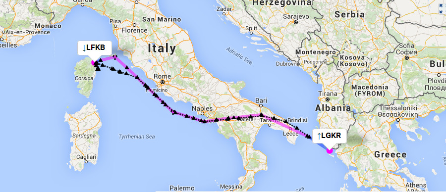
Brac, Croatia to Athens, Greece
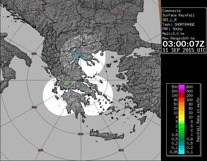
The weather was again good: MSLP 0600 1200 1800 IR sferics tafs/metars. The PROB30 TEMPO SHRA in the TAF for LGAV reflected the troughs in the MSLP chart.
FL100
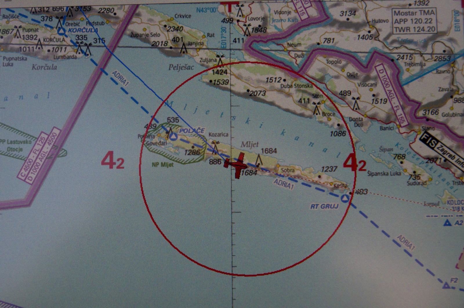
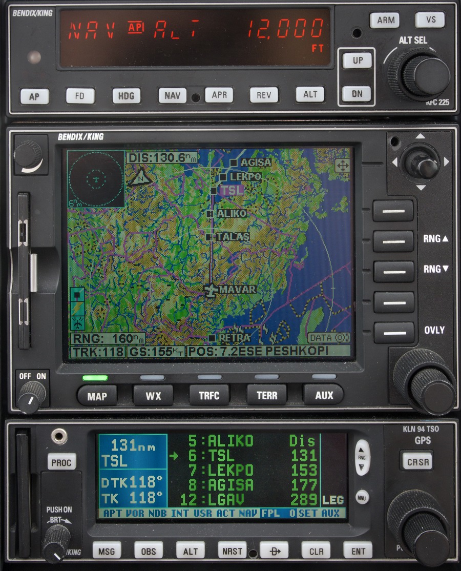
LDSB SIPAL3R SIPAL L607 DBK R45 TAZ W47 POD/N0152F110 L604 RETRA Y400 MAVAR
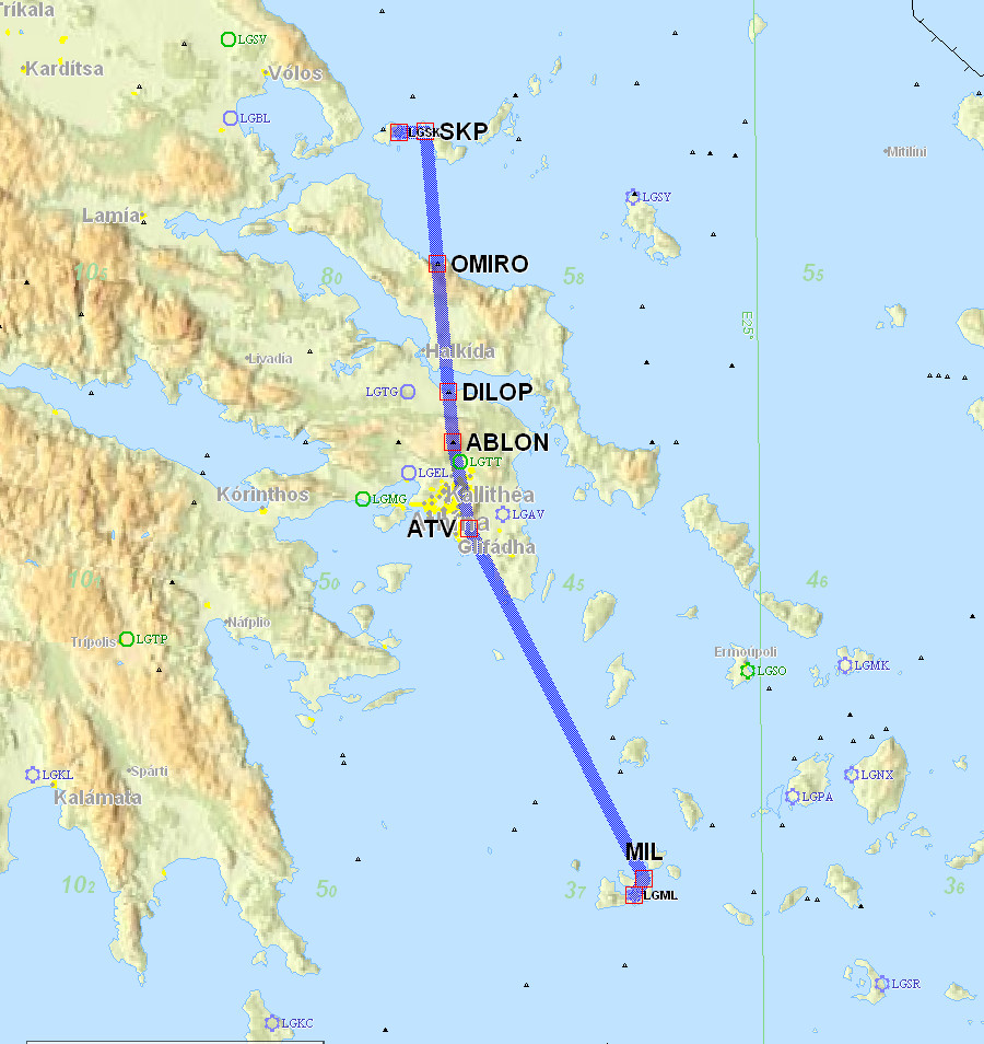
N130 TSL/N0152F100 L617 SKP B1 ABLON ABLON1C LGAV
Alternates: Megara LGMG, Corfu LGKR
460nm (GC) 536nm (IFR)
The choice of Athens LGAV, at about €250, rather than the much more commonly used Corfu LGKR, at about 1/10 of the Athens cost, was done for complicated reasons.
Originally we wanted to be at Athens for the first half of a two-part air show
at Tatoi LGTT (near Athens). This show is worth going to not so much for seeing
planes (to me, a plane is a plane - except for the F16 display ![]() )
but for meeting up with our Greek friends. The first half of the show fitted
well with the EuroGA fly-in to Portoroz and the subsequent stop at Brac.
)
but for meeting up with our Greek friends. The first half of the show fitted
well with the EuroGA fly-in to Portoroz and the subsequent stop at Brac.
Unfortunately, after the various dates were fixed, the first half of the show was cancelled, so the only point of going to Athens was to meet up with some Greek friends. Justine was also flying to Athens (airline) but had there been enough time to re-plan she could have equally flown to Corfu. And Colm could have departed for Dublin from Corfu, too.
Departure weather at Brac was nice though quite hazy. Departure from LDSB was non-radio (nobody in the tower) so we picked up the IFR clearance from Split, though this took a long time due to Dubrovnik traffic. Fortunately there was no cloud around, and Split did provide a service in the meantime which implicitly included flight in CAS...
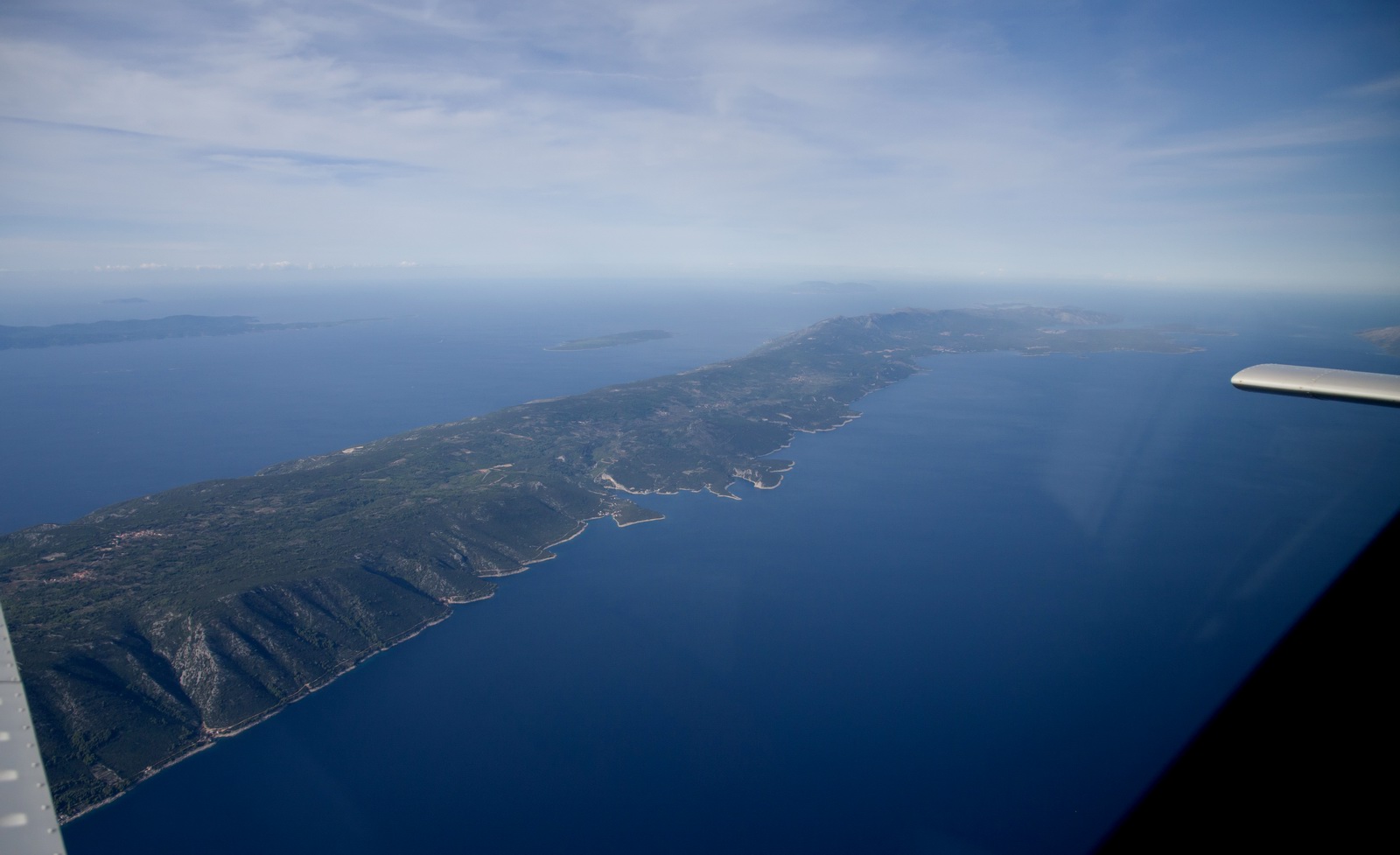
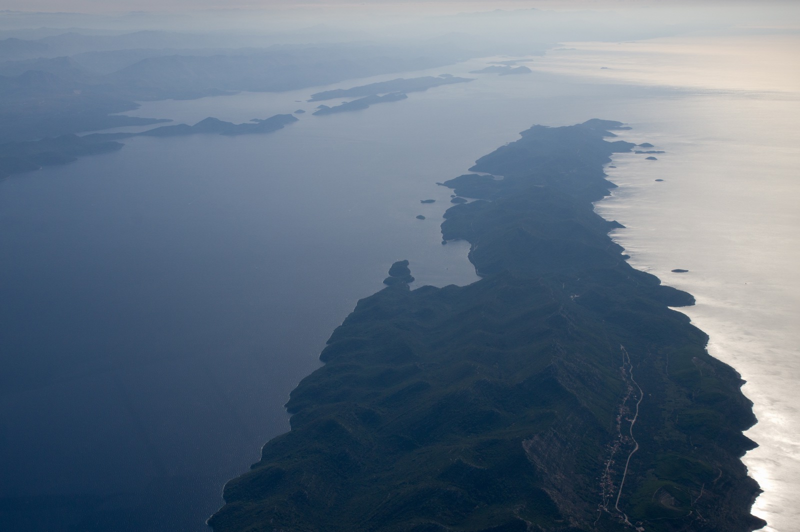
Mljet is a nice island; I was there in 2009 with my two boys. It's a very good place for kids; very easy to get around and safe. However, the "1 hour" (advertised) bus+boat transfer from Dubrovnik took most of the day!
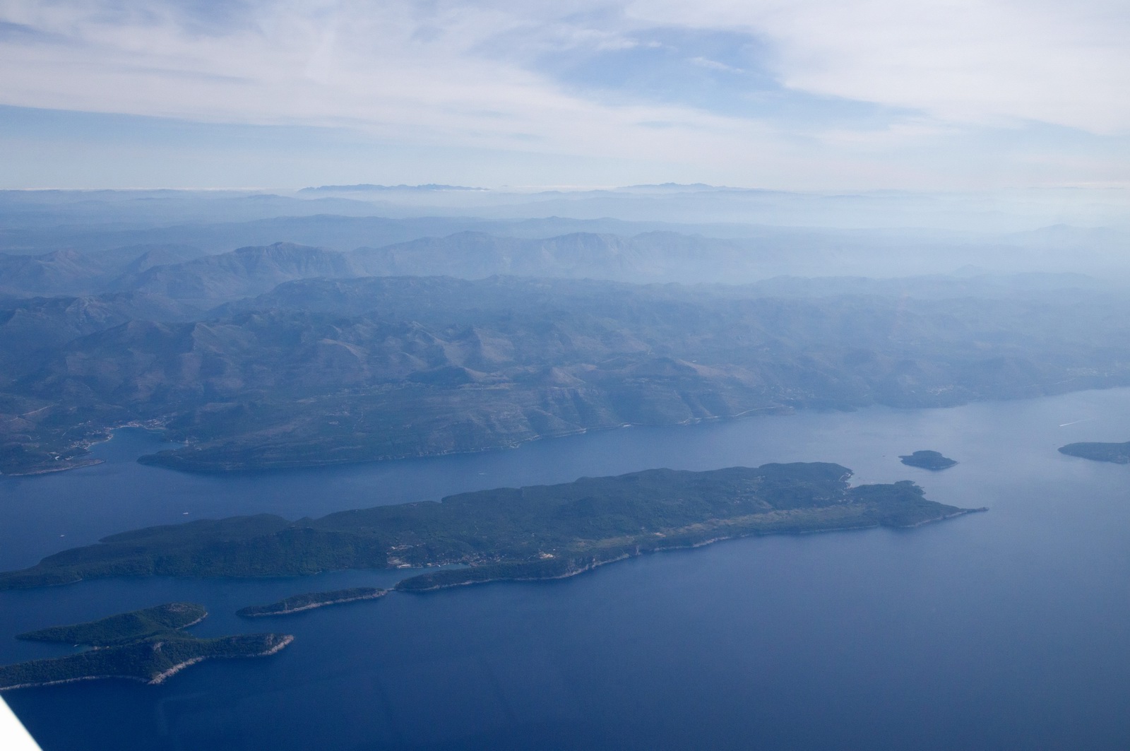
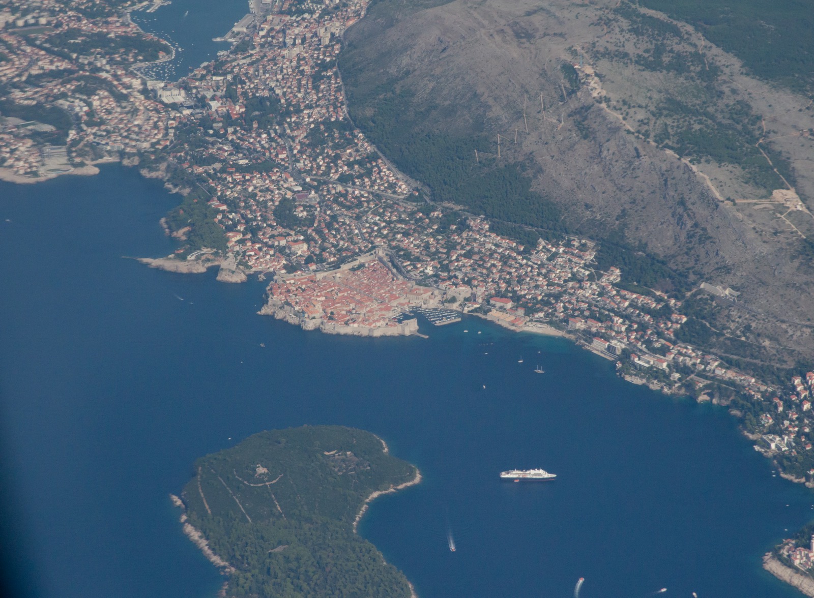
Dubrovnik
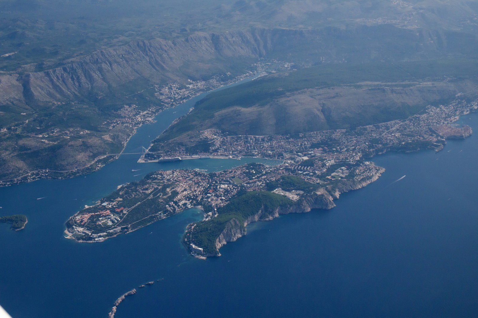
Here you can see the old city of Dubrovnik. I was there before.
The hotshoe GPS on my Pentax K3 stopped working… I suspect it cannot get a fix during aircraft motion. So that's another piece of junk that will be going back for a refund.
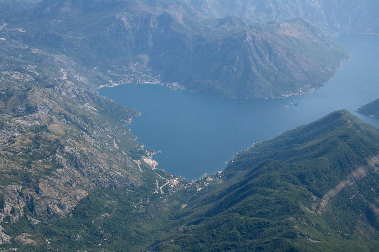
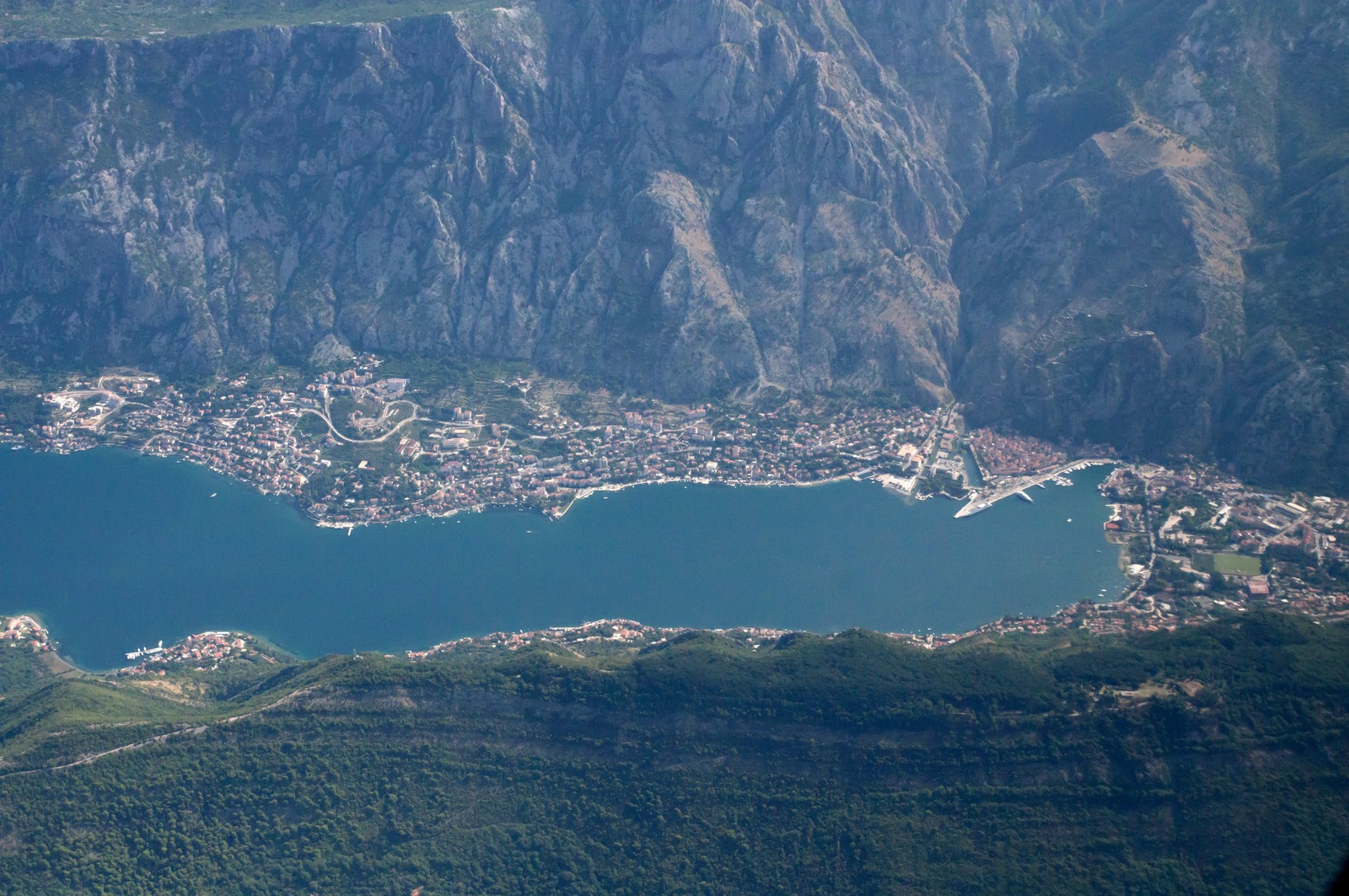
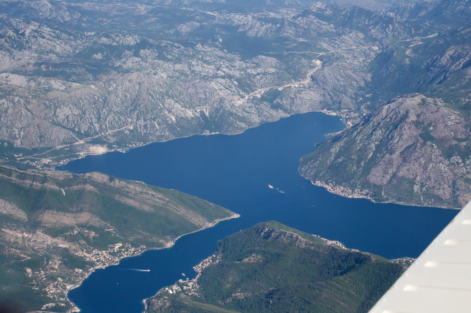
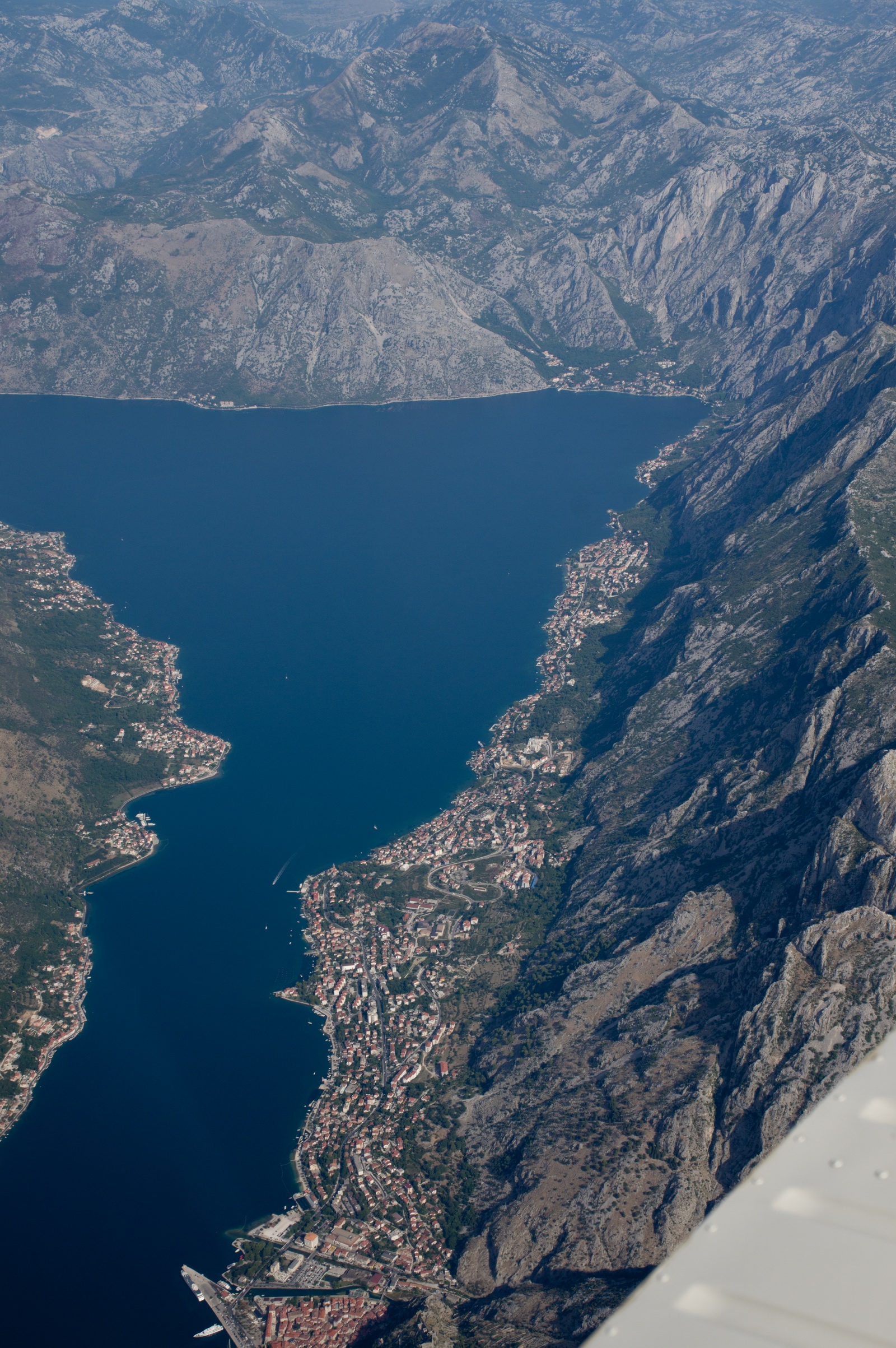
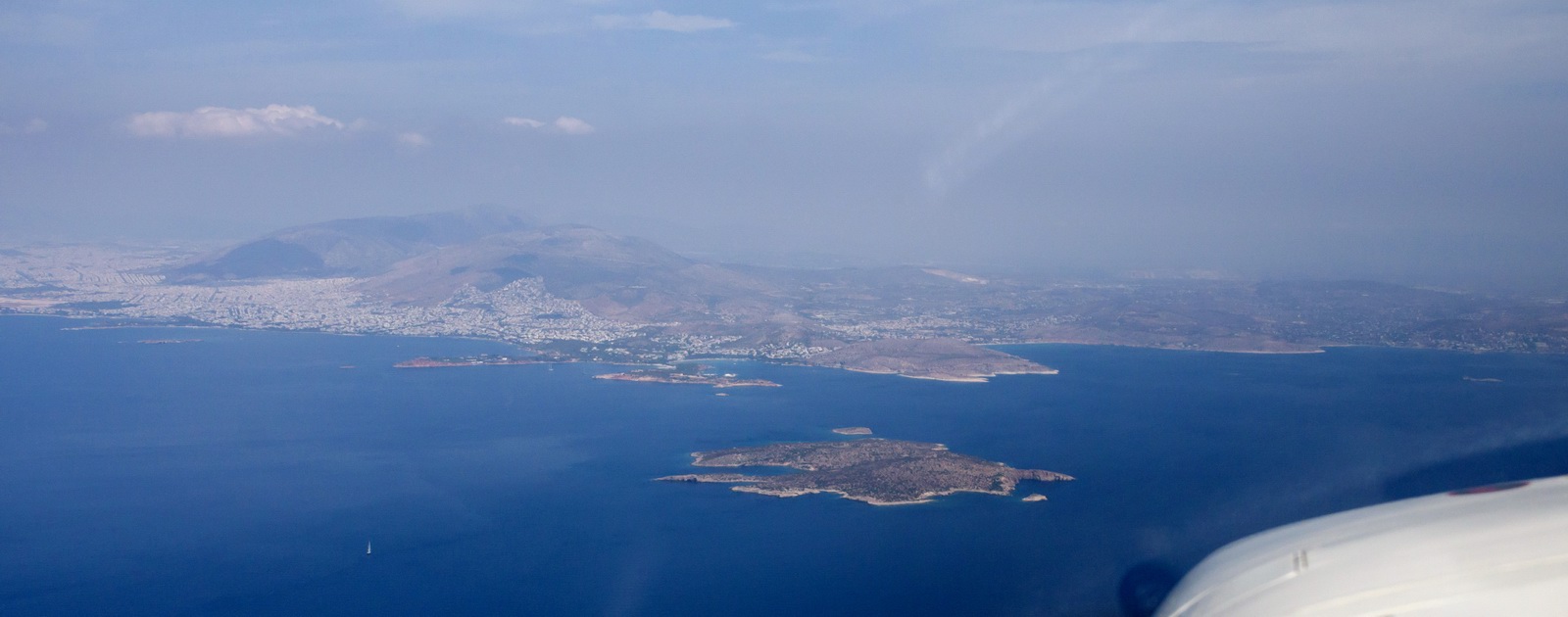
Bay of Kotor in Montenegro. Albania coming up... This area is wild; legend says they still have wolves and bears down there
Over Albania, Tirana ATC give you the next frequency to call (Skopje Radar) in case you lose radio contact with them due to the mountanious terrain
FL120. Later we climbed to FL130, due to buildups ahead
Skiathos from FL130. A good friend of mine works there as an ATCO. He is normally based at Lesbos LGMT but moves to Skiathos during the summer months because of the extra holiday traffic there
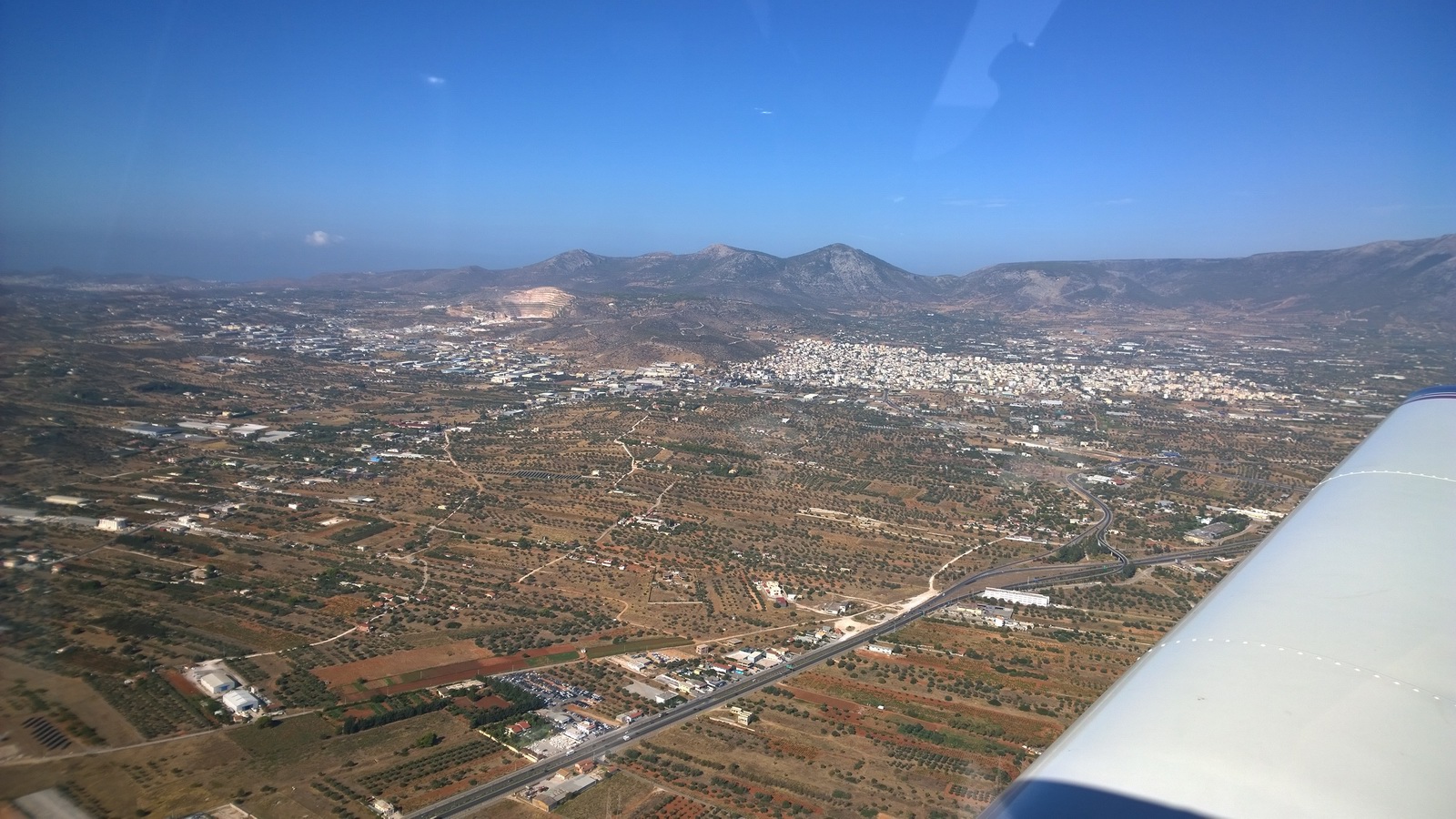
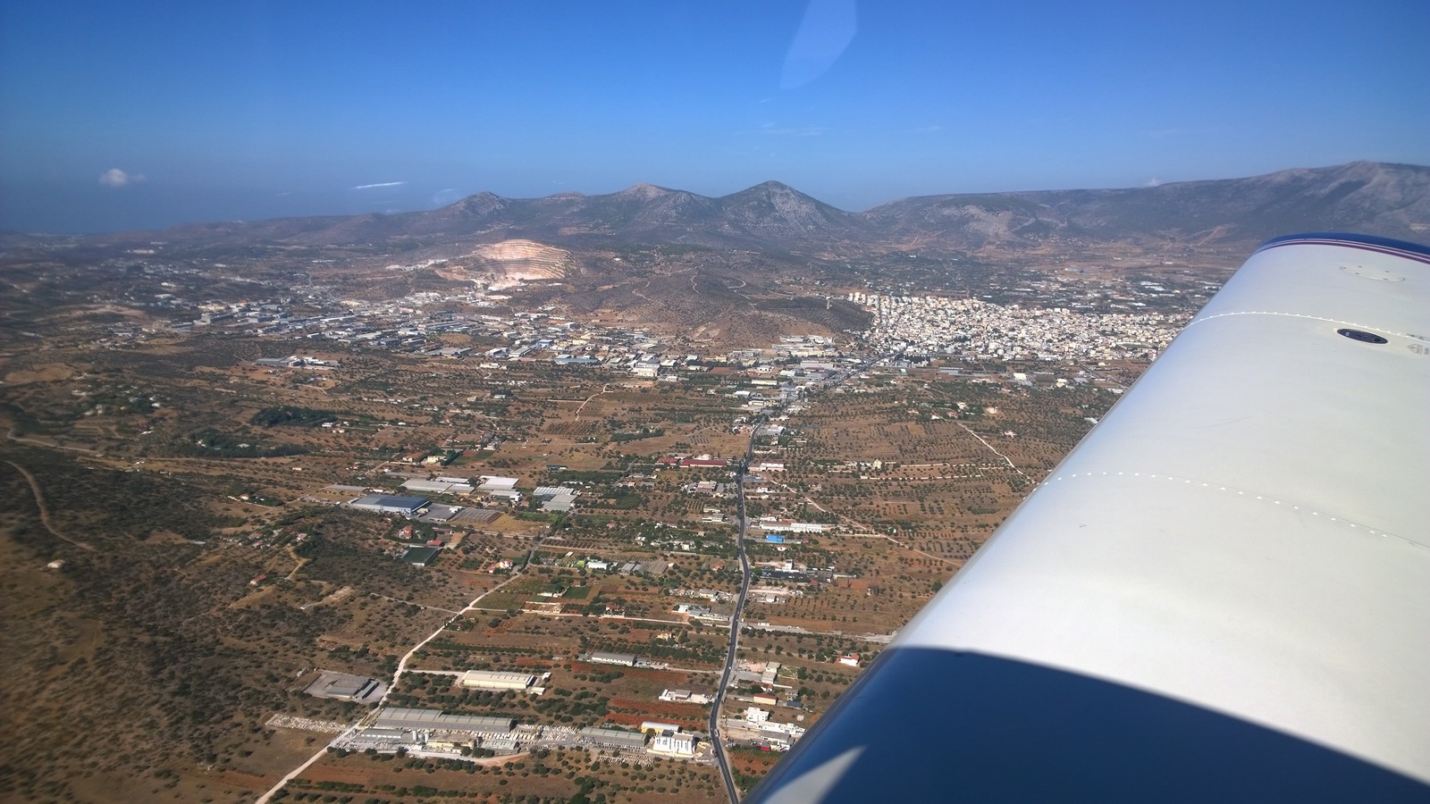
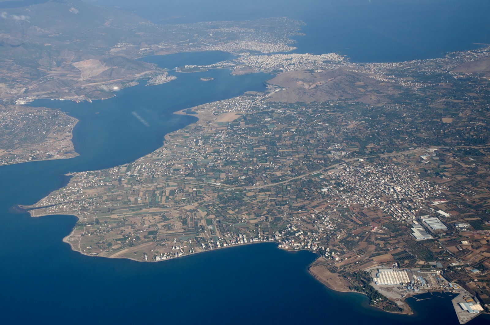
Mountain of Euboea abeam OMIRO to our west as we cruise south
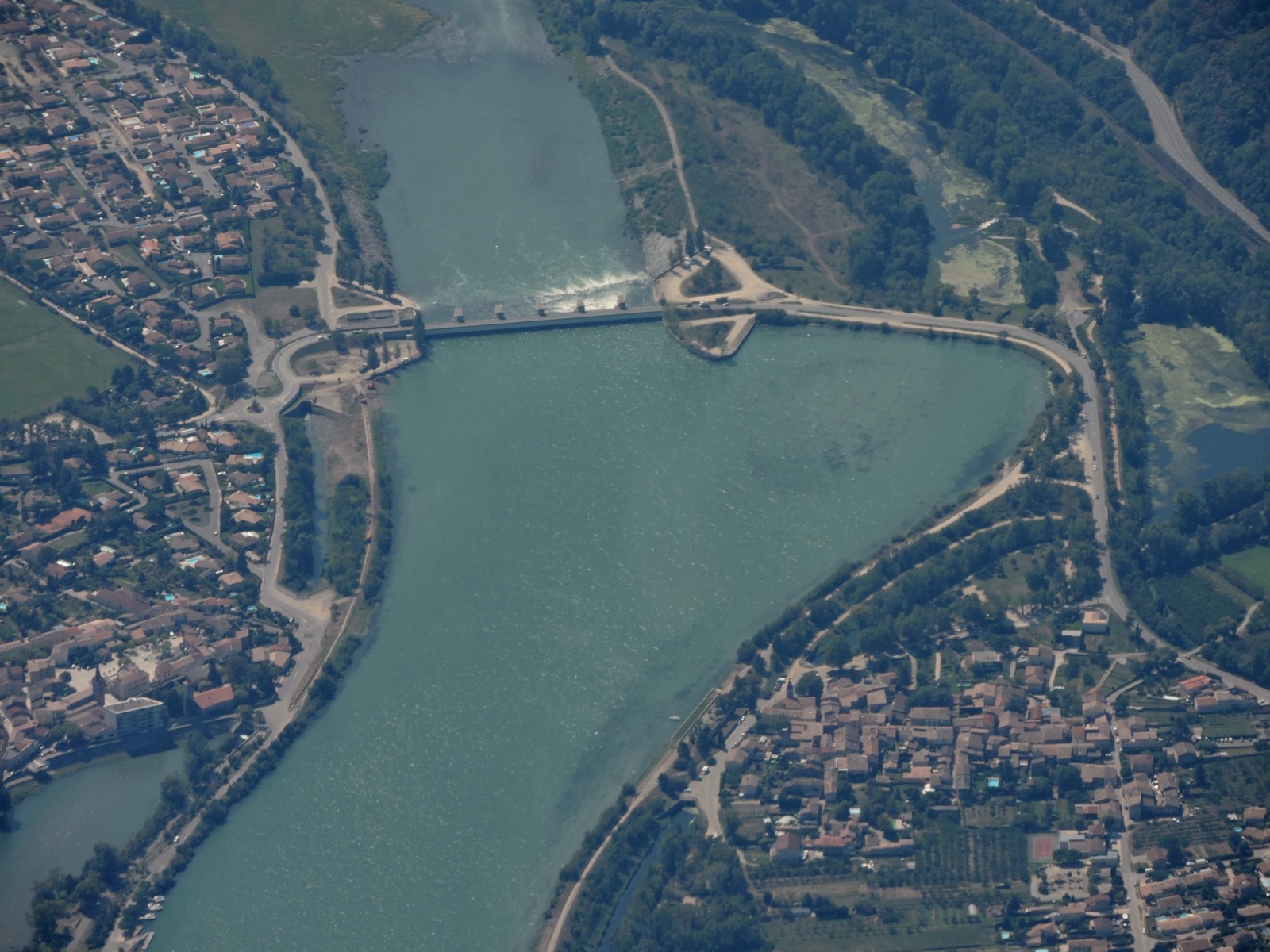
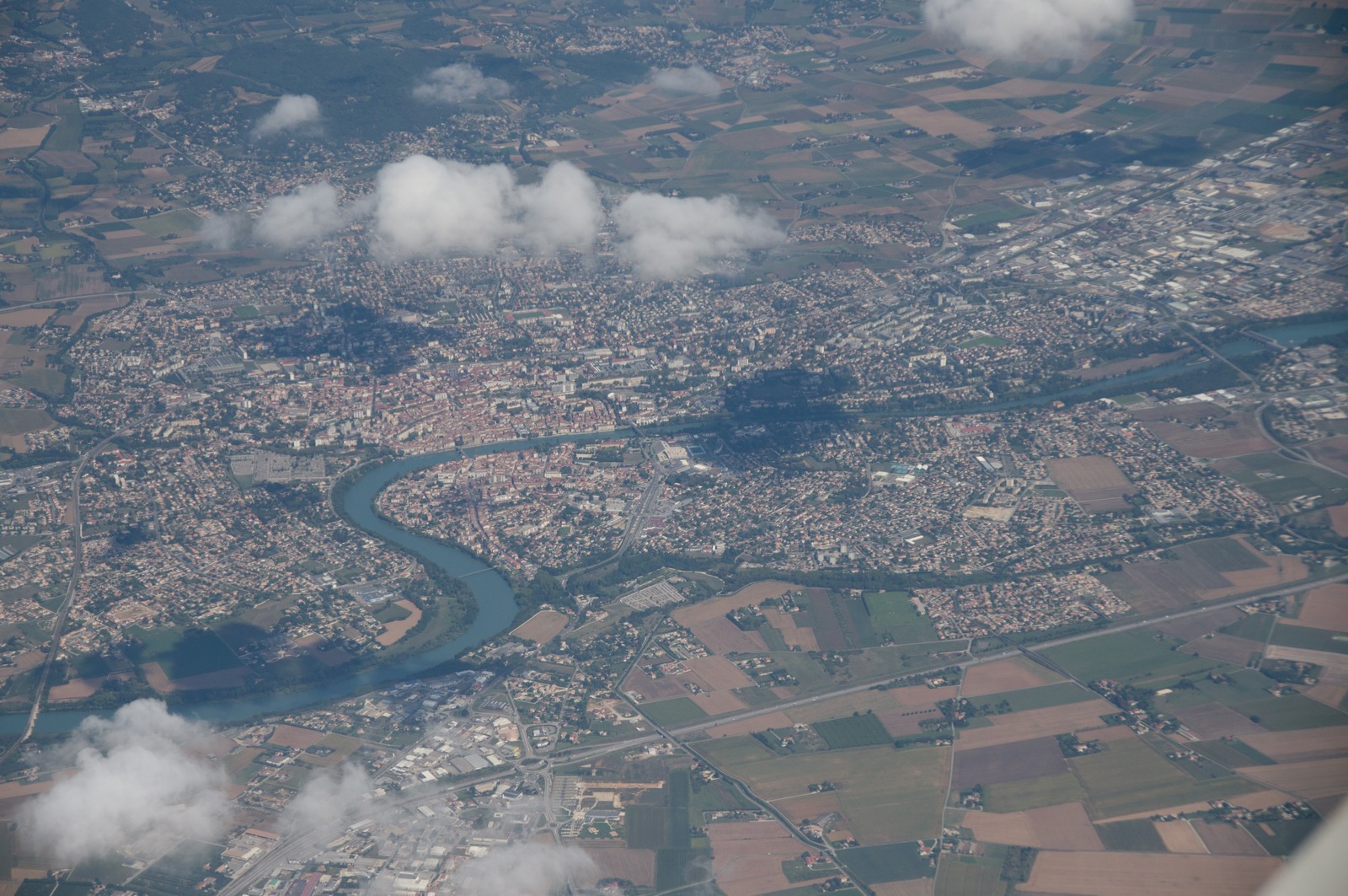
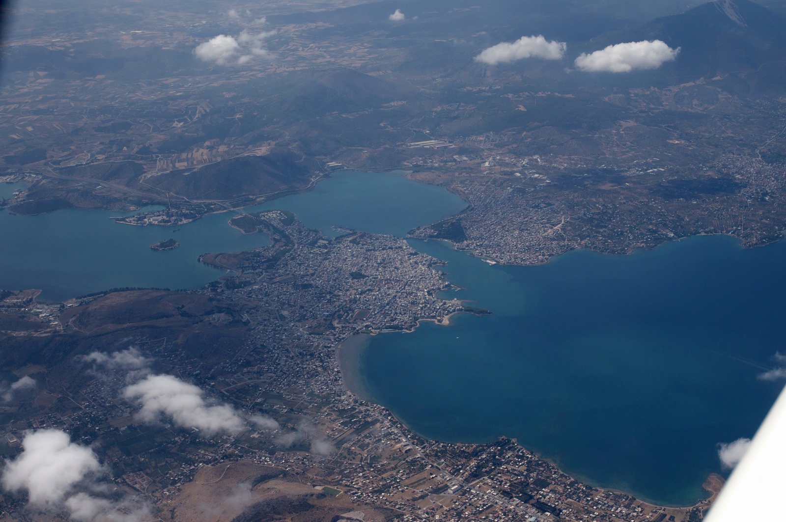
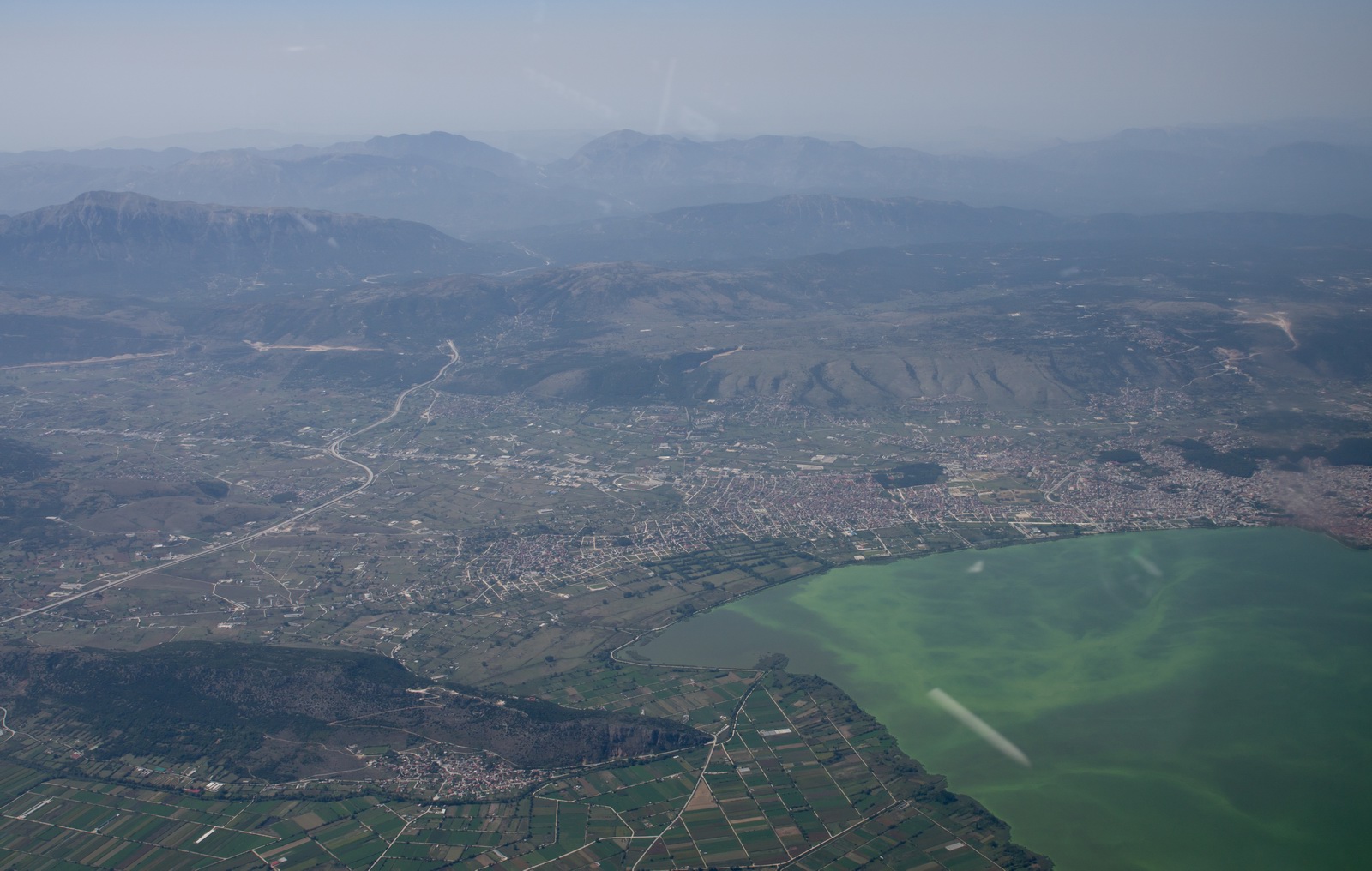
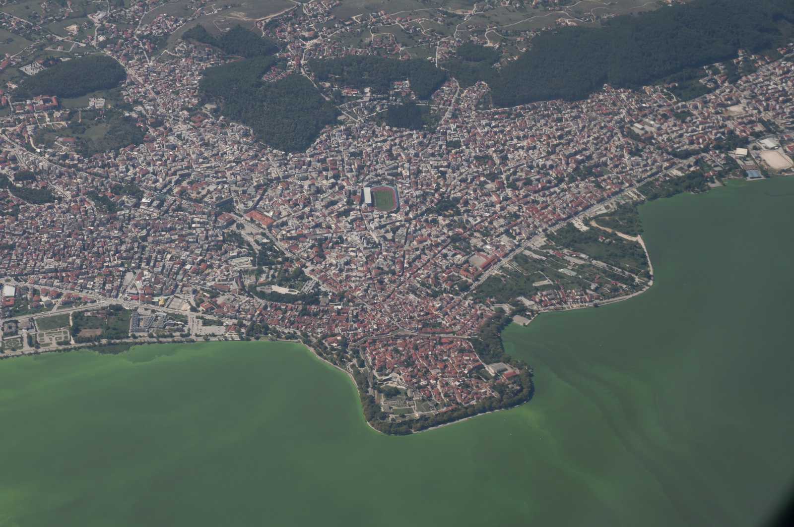
Chalkida city, the link of Euboea peninsula and mainland Greece
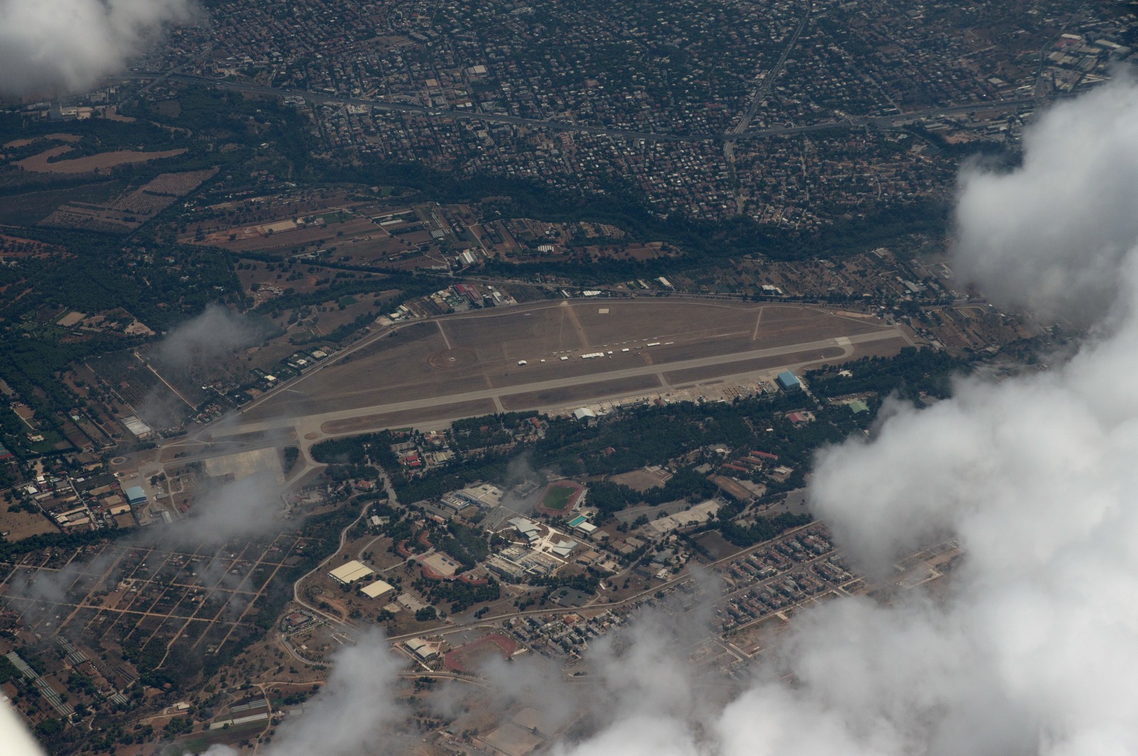
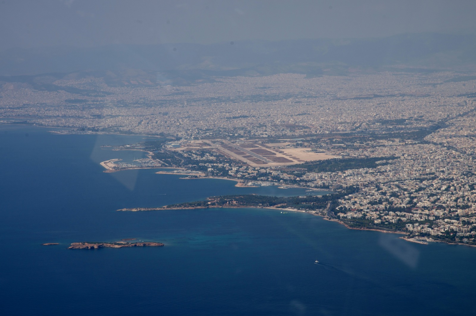
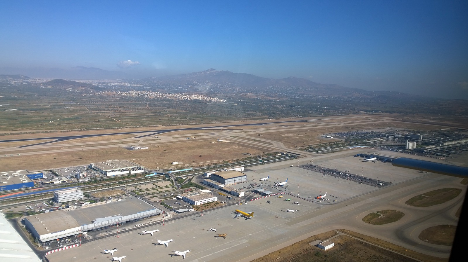
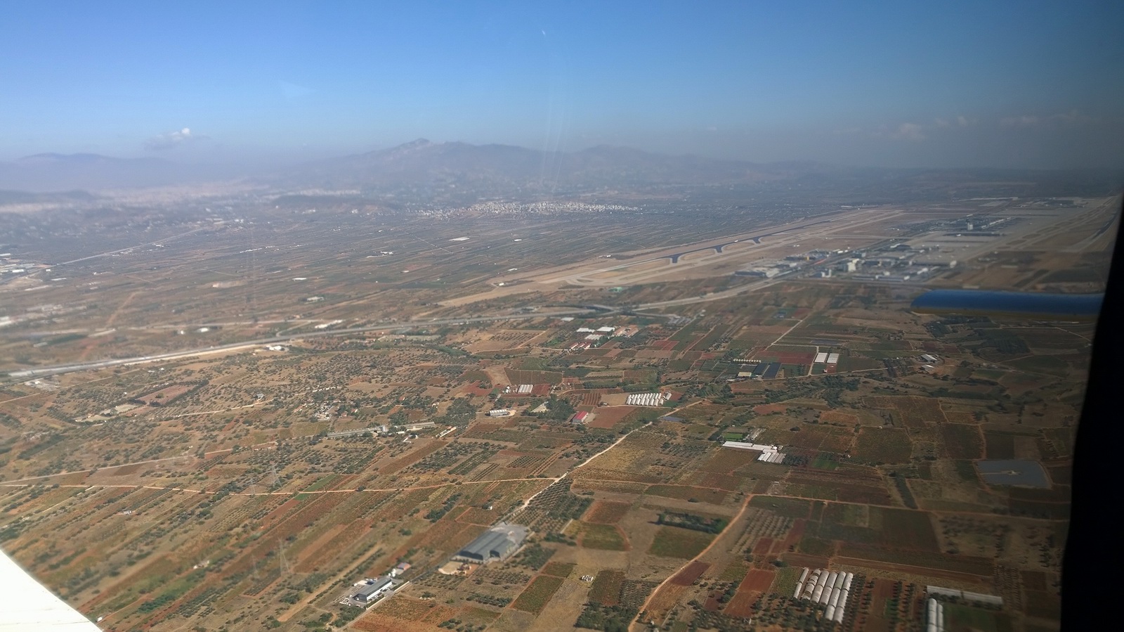
Flying above Tatoi LGTT where you can see the preparations for the Athens Flying Week
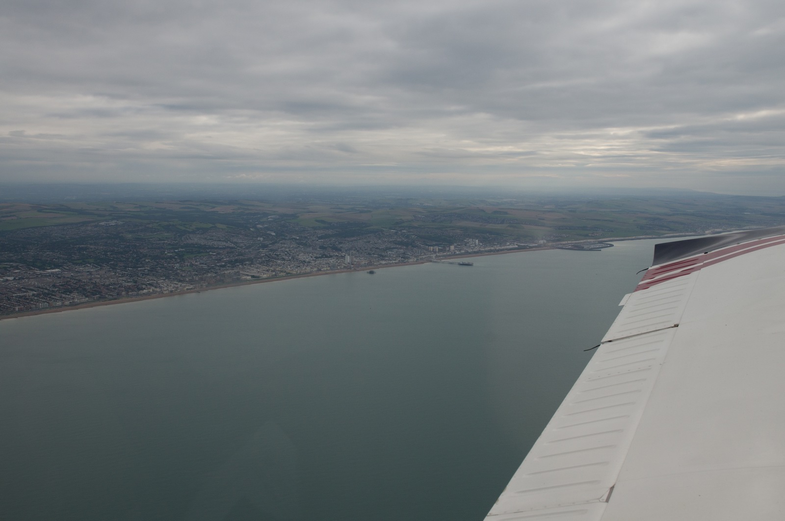
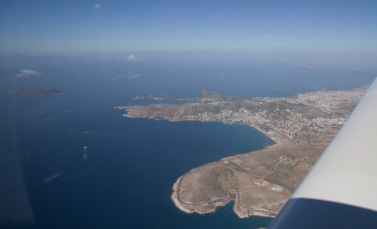
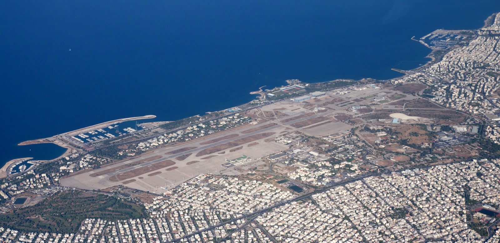
The coast of southwest Athens (Pireus port)
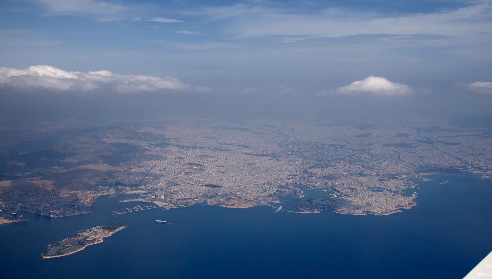
Heading towards the ILS
This is the old Athens airport, LGAT, which was closed in 2002 and has just been wasted...
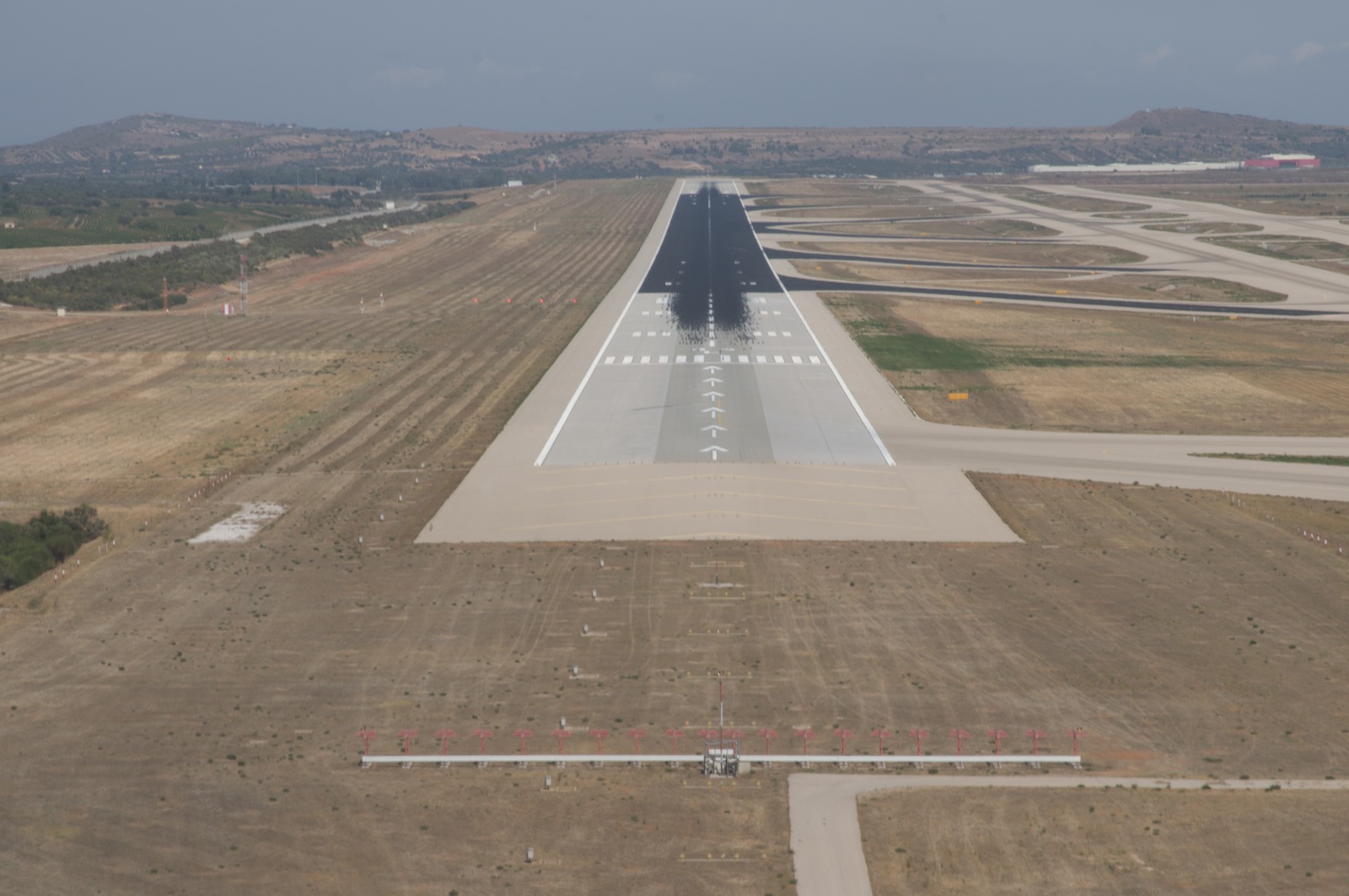
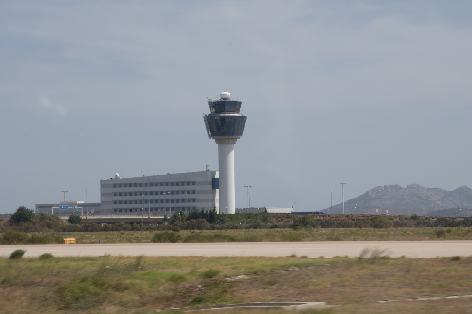
Final at Athens LGAV… a really busy approach, with the TCAS showing several targets on the ILS in front and behind us, loads of headings and descents, etc. Easy with an autopilot… Cleared for the ILS 03L
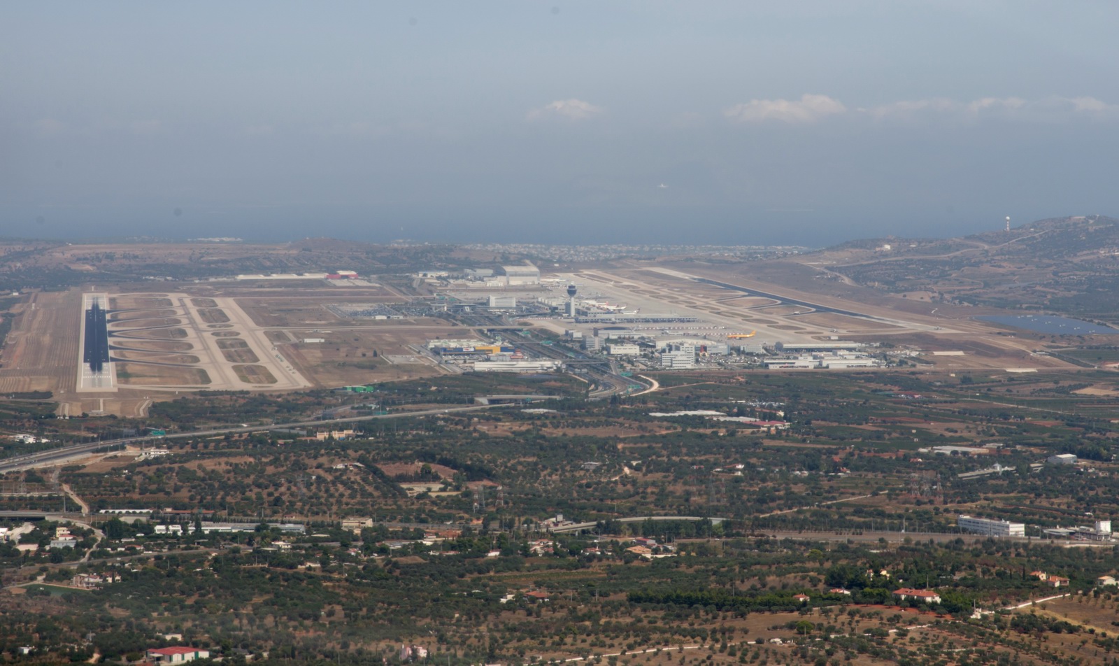
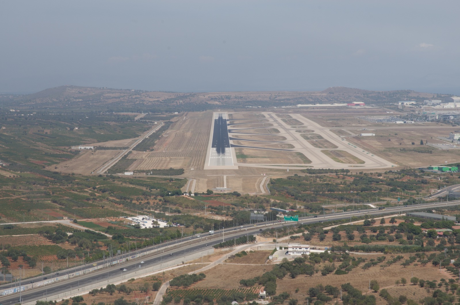
The radio was busy as hell and I was grateful for my very competent co-pilot and his writing down the taxi instructions. They gave us about five taxi instructions in one sentence and I had difficulty understanding the accented English let alone writing them down while taxiing. And I had studied the airport chart...
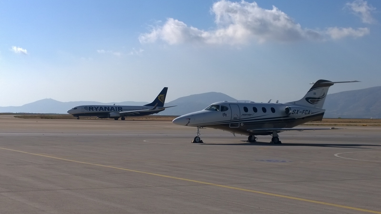
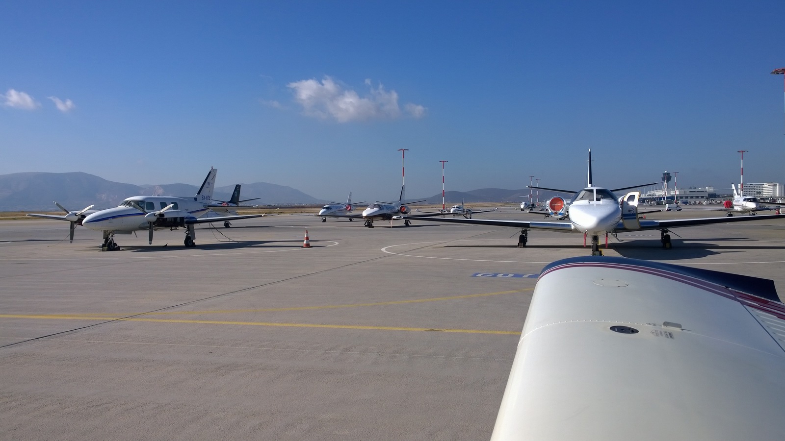
There was some upmarket GA parked there; not a lot due to the ~€250 minimum cost. Our visit was during the Athens Flying Week (held at Tatoi LGTT) so we got free handling but that reduced the cost by just €25.
The airport does have avgas, which is not a common thing in Greece. I guess they get enough piston twins to support the business. The only Port of Entry airports which have avgas (Greece does not operate the Schengen system) are: Corfu, Athens, Samos, Hania, Iraklion, Sitia, Rhodos.
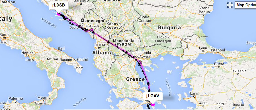
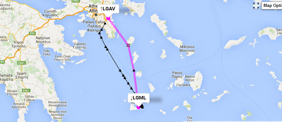
This is the route actually flown (in black)
At Athens, we met up with Justine (who flew there on an airline from Gatwick) and after hanging out there for a few days Justine and I flew on in the TB20 to Milos. Colm hung out for a few more days at Athens and then flew back home to Dublin on an airline.
Nowadays, AirB&B and Booking.com have transformed the business of travelling to places without prebooking hotels. AirB&B especially is very popular with pilots, especially when travelling in groups and thus looking for spacious self catering accommodation, and it can produce some astonishing bargains, especially where someone is renting out their own holiday apartment.
However, one needs to be careful to not get a dump... With AirB&B especially this is more likely to happen than with Booking.com because much of the stuff on it is real low grade junk which somebody is trying to make some "tax free" money on. And, like any big European city, Athens has some very "dirty" parts and one needs to pay a bit extra to get something reasonable.
We did this bit spectacularly badly and ended up on the top floor of this spectacular dump whose condition I would rather not remember! It was about €40/night which was just way too cheap for three people (2 bedrooms).
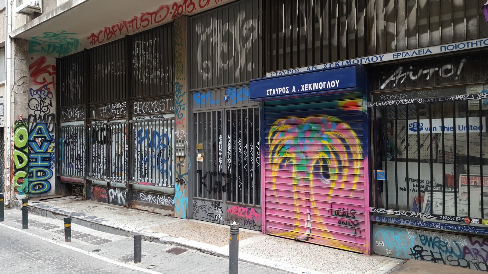
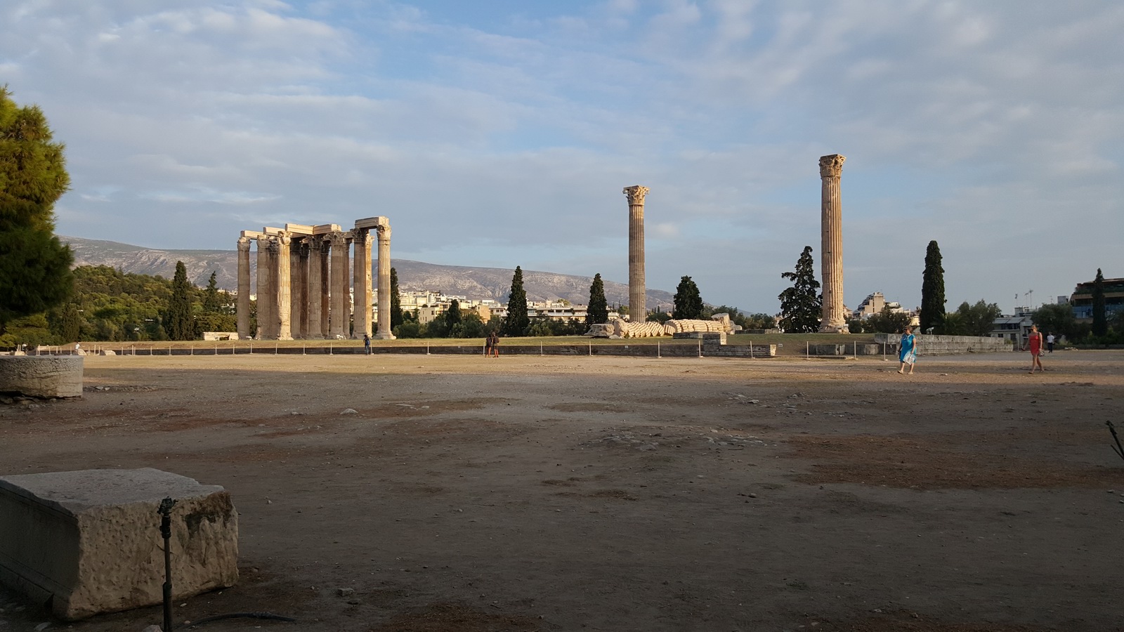
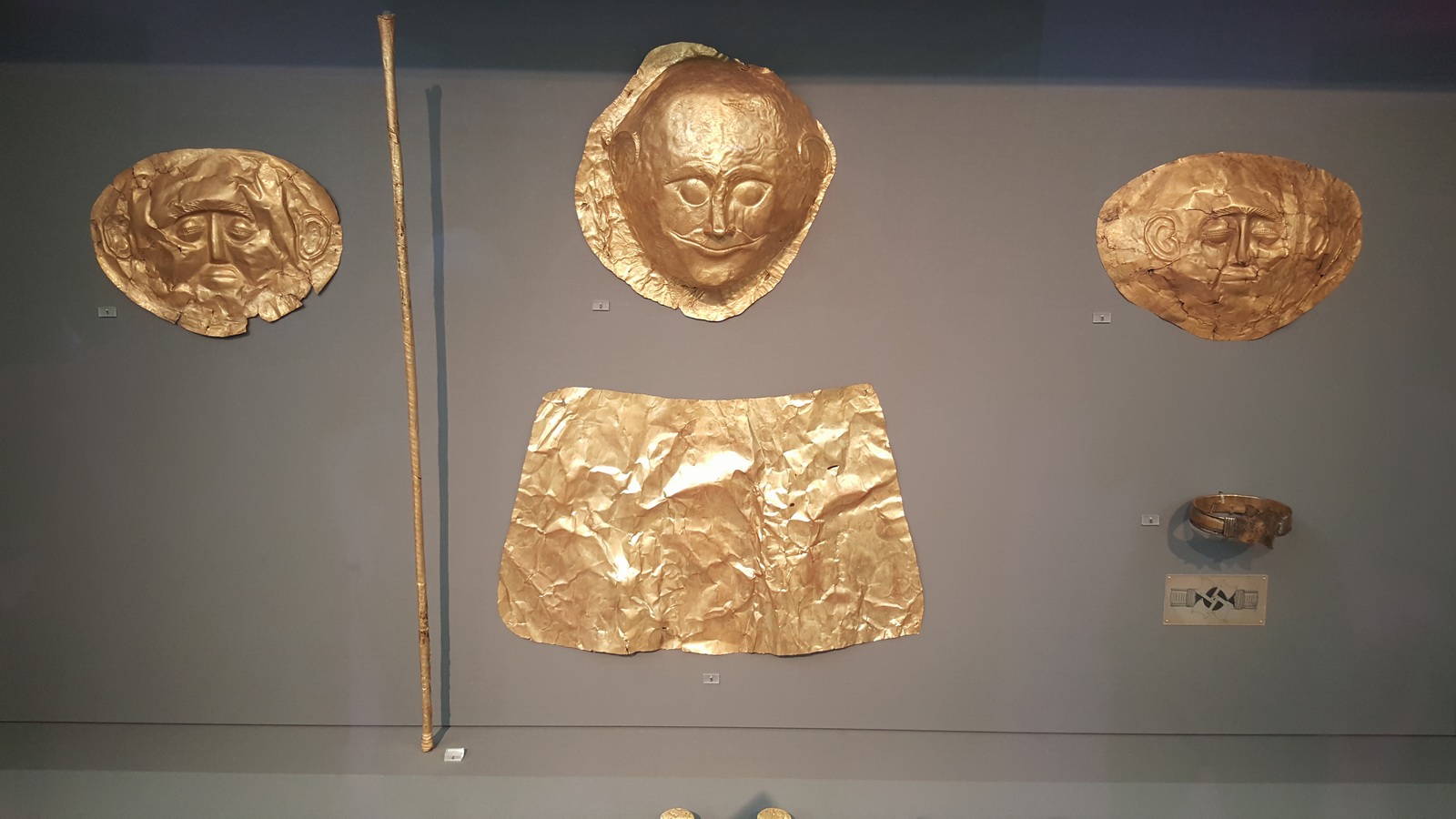
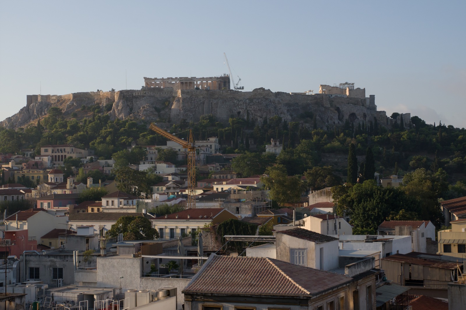
Athens is of course full of great sites and sights - too many to explore during the few days we had. Sites like this are everywhere
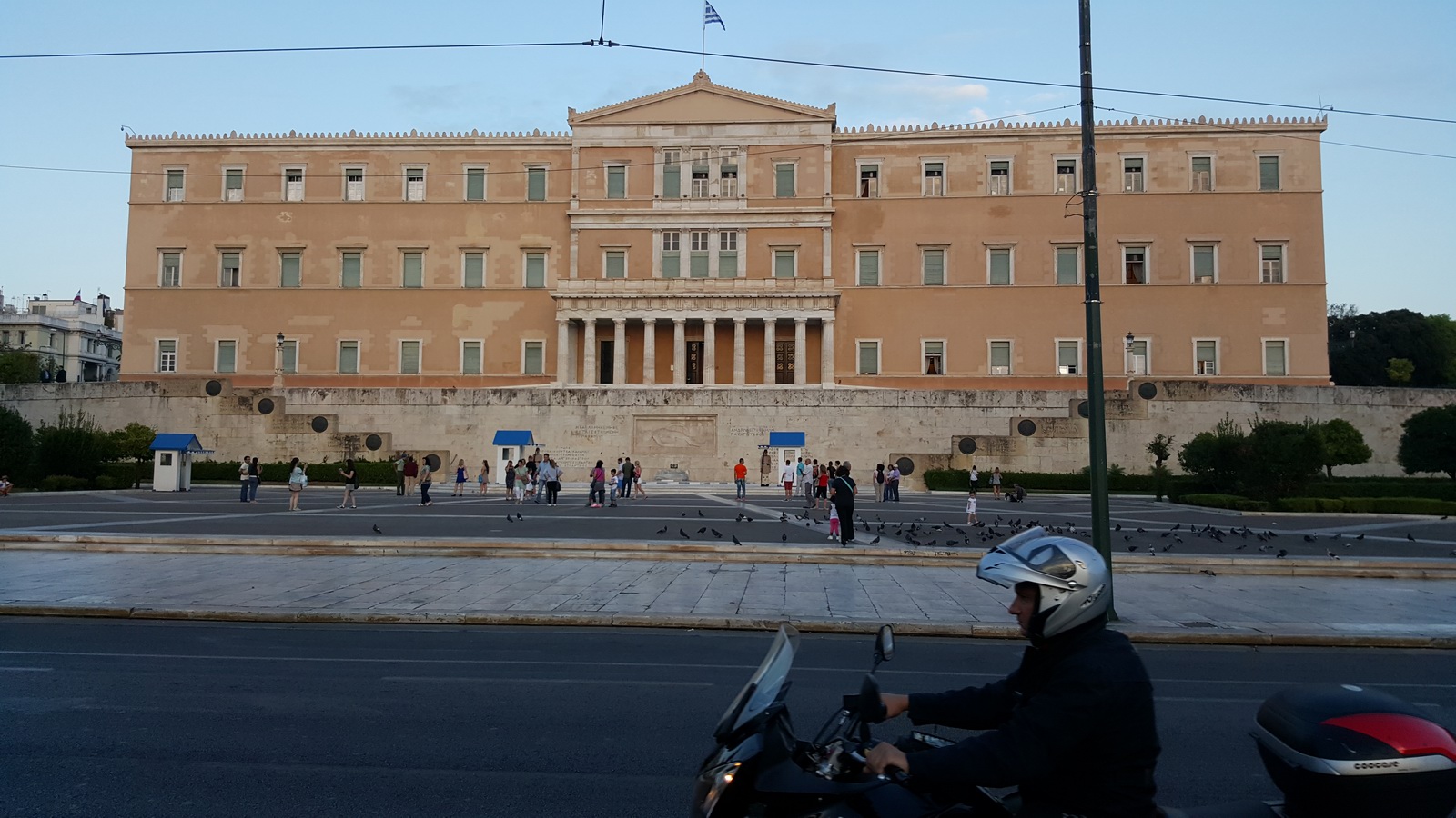
The parliament building, famous recently from the anti-German and anti-austerity demonstrations in front of it
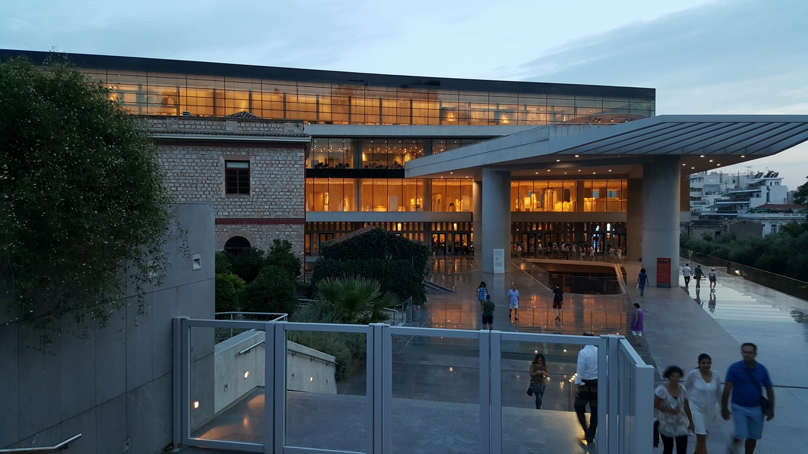
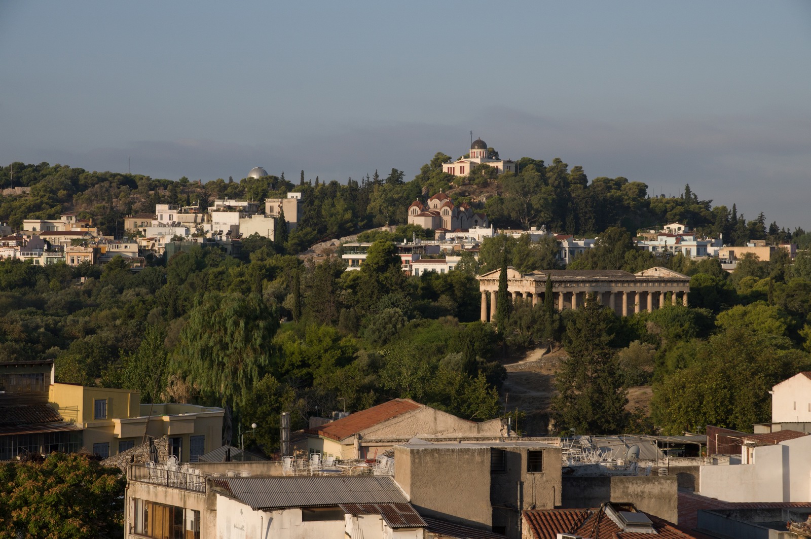
The Acropolis museum, situated right under the Acropolis rock where the original
Parthenon marbles are exhibited, with some missing and still in the
British Museum courtesy of Lord Elgin ![]()
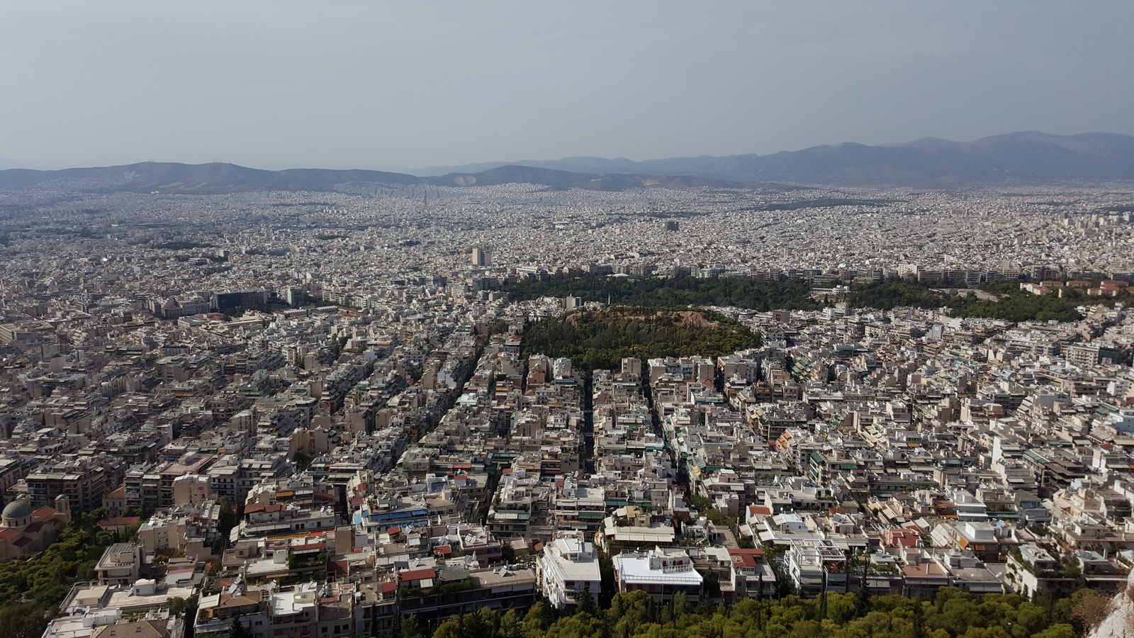
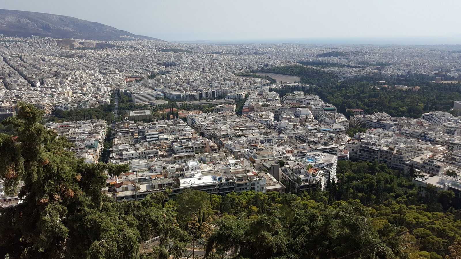
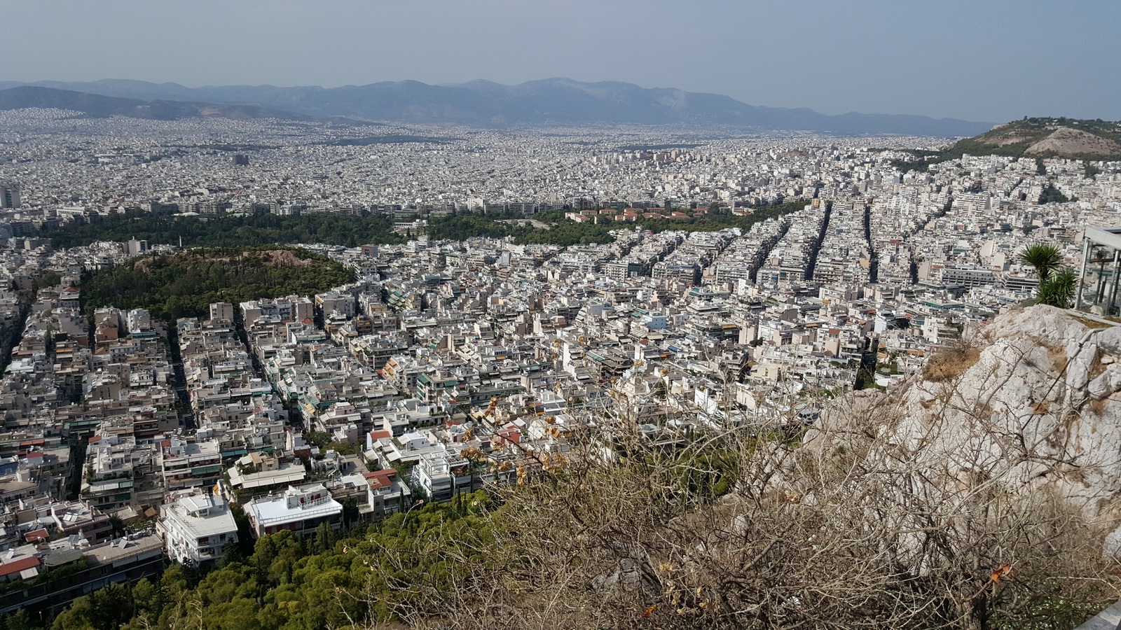
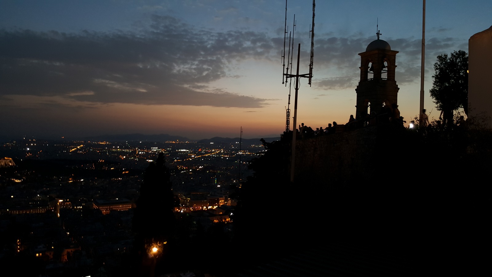
This is Athens, from a lookout point at the top of Likavittos hill. There is also an excellent restaurant there where we met up in the evening with one of our Greek friends - Kyprianos.

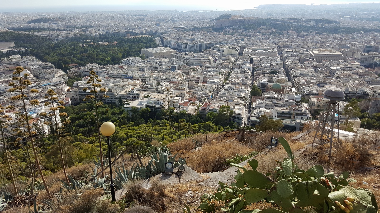
The Parthenon on the Acropolis rock - with perpetual scaffolding
Philopappos hill nearby
Athens, Greece to Milos, Greece
The weather was great and for this quick trip I didn't keep the MSLP charts. I had IR radar sferics tafs/metars and all were clean.
In common with most of the smaller Greek airports which see no commercial traffic other than the daily or 2x daily commuter flights, Milos has difficult opening times. In Greece, the times are always notamed.
FL070
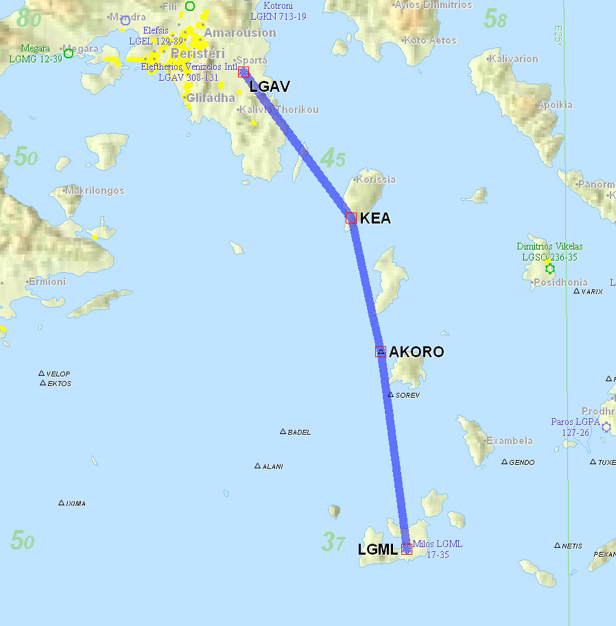
LGAV KEA1J KEA L617 AKORO LGML
Alternates: Samos LGSM, Iraklion LGIR (both have avgas)
79nm (GC) 81nm (IFR)
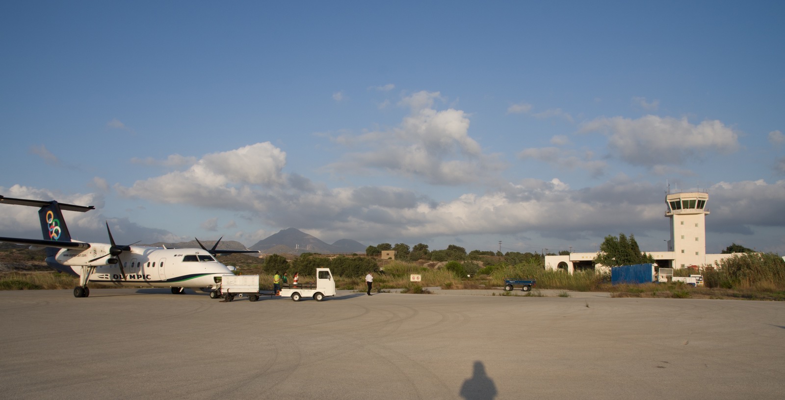
I allowed 1hr from arrival at the airport to getting airborne and that was just right. Swissport were really efficient.
It’s worth noting that the "zero handling cost" deal during the Flying Week was, according to Swissport, worth just €25, against the unavoidable airport charge of €180 (which includes €25 for a very short car ride which can't be avoided either). Together with the first half of the flying week show getting cancelled, it would have been better to fly to Corfu LGKR instead of Athens, but there were several other factors as mentioned earlier.
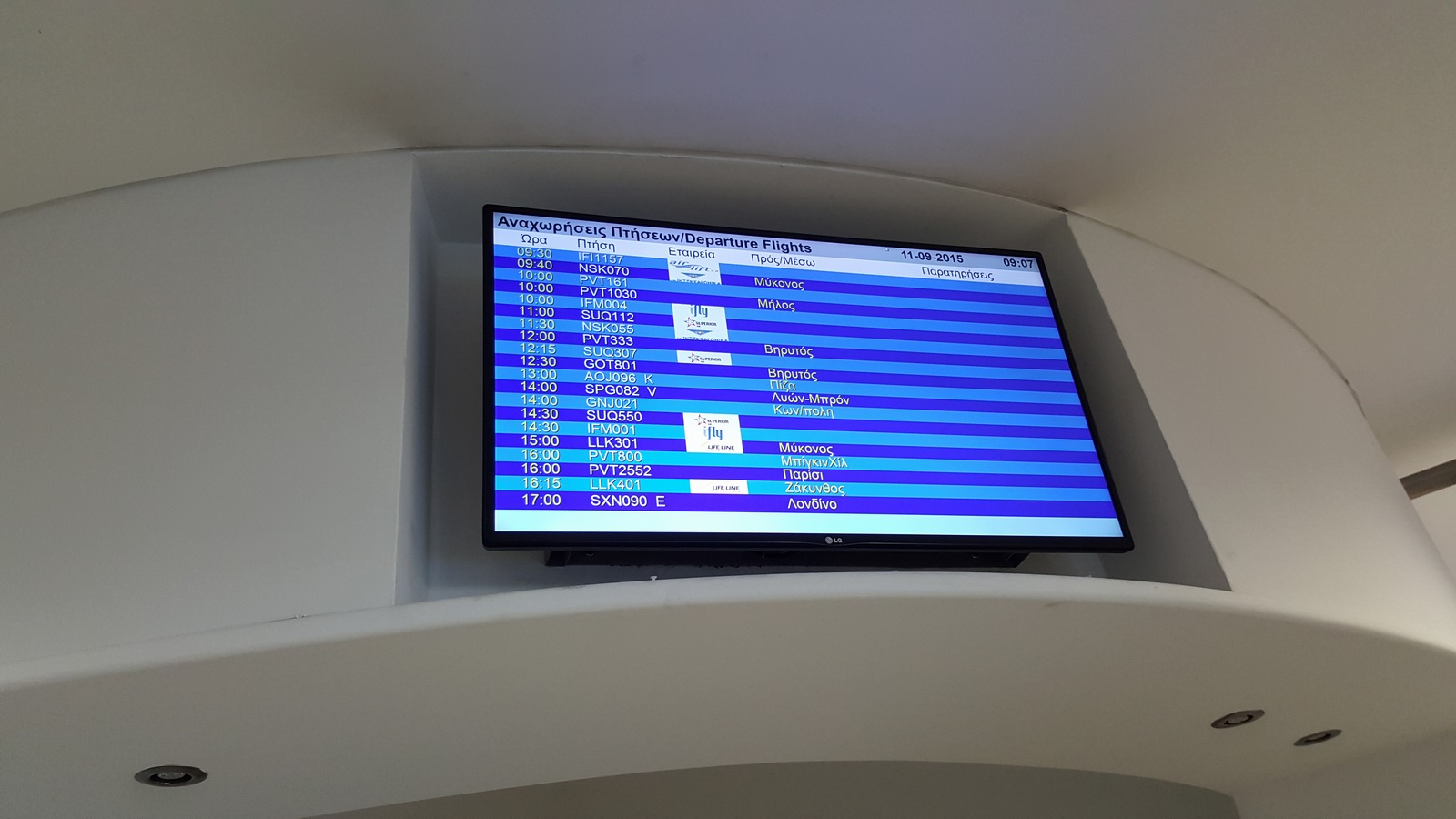
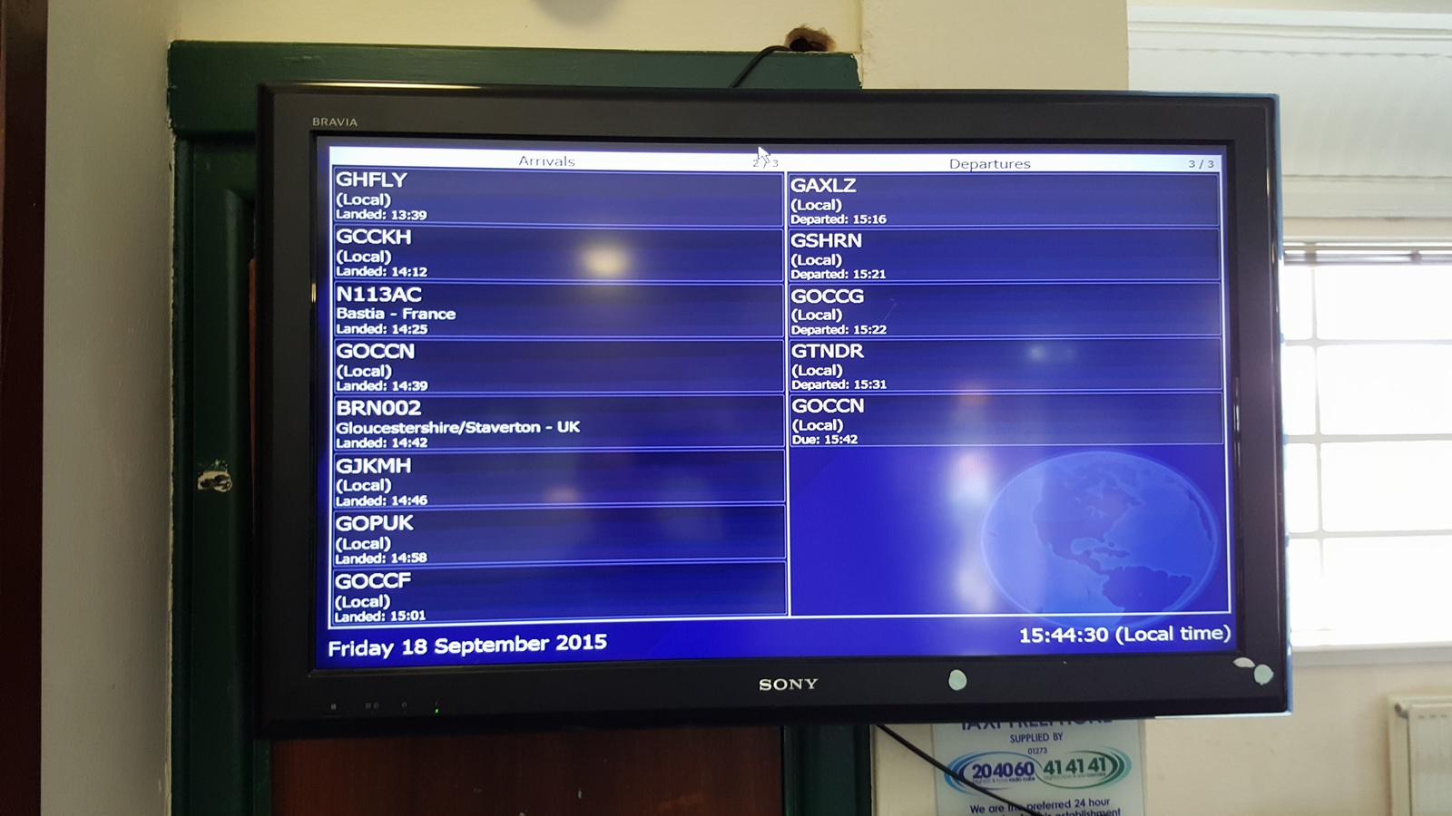
We had the honour of appearing on the Departures screen in the bizjet part of the airport: PVT1030, EOBT 10:00 local, destination Milos
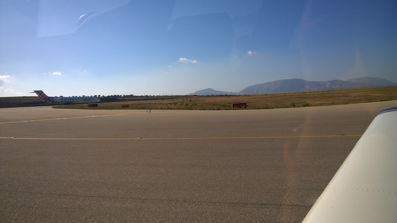
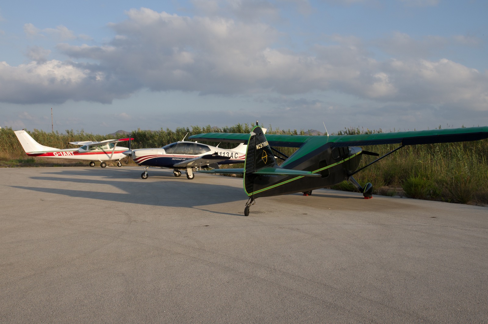
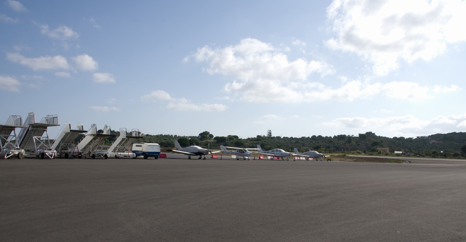
There were a lot of "GA" planes parked there, though notably no "cheap" ones
While getting into LGAV was easy enough (vectors, ILS, lots of radio, a co-pilot who could copy the taxi instructions, a follow-me car) I found getting out very hard. There is nothing inherently more difficult about a big airport. One needs to study the airport diagram so one more or less knows the taxi route one is likely to get.
But this time I did not have a second pilot to help with e.g. writing stuff down. I found the ATC accent to be barely legible, with the ICAO mnemonics almost impossible to make out. They also joined up all the names into one continuous sentence. Clearly this is a place for pilots who know their way around. Anticipating this, I gave Justine the task of writing down everything she heard, and studied the airport chart before moving, but it didn’t work well enough. At one stage ATC asked for "Charlie 9" but I could not find it. Then immediately they asked us to taxi to D9 (which I did find), and then asked us to follow a Volotia 737 which I duly followed - here he is, having taxied all the way to D12 to where I followed him, which was not correct but an easy mistake to make...
I never found C9 so that must have been a misunderstanding. The relevant part of the airport is below. The "C09" with the red circle around it was at subsequent analysis thought to be "C9" but that was wrong. Departure was from 21L as shown by the red arrow
Here we are at D12. ATC taxied the airliner behind us to D13 and departed him
Another unusual thing is that I was cleared to line up immediately after a departing 737/Airbus and “cleared to take off when ready”. Clearly this was time to dust off the IR ground school minimum wake separation time but was the one before Medium or Heavy? Normally, ATC run the wake separation timer for you. And the 3 minute time I recall as being “always safe” after a departure of anything whatsoever was a very long time to sit on the runway. I have never seen this procedure before. The wind was 180/06 which was from the left so I gave it a couple of minutes and then made sure I stayed upwind of the runway centreline, because any vortices would have got blown off to the other side. Then I climbed as steeply as was possible to get maximum height in case of any turbulence. Regardless, whatever it was I did, there wasn’t the slightest bump although I was expecting a big one. I was not happy with how this was done; I should have waited a full 3 minutes.
I have been to many big airports (Zurich, etc) but have never had these problems.
I later wondered what is the best way to handle these situations? Officially, you are supposed to use one of
- "say again slowly"
- request progressive taxi instructions
I did notice that the LGAV controller spoke much more clearly during the latter part of the taxi. He must have realised I was unfamiliar with the place. But there may have been something else going on, because he did twice ask me where I was. I also recall getting cleared to D7 which is obviously wrong – the wrong direction for someone starting at the GA area and heading for a departure on 21L unless he wanted me to depart from partway along the 4000m runway which obviously would make sense, but then the instruction to follow that Volotia jet made it ambiguous, because following it would take me to D12 or even D13.
Also, a departure from D7 would make an aircraft much more vulnerable to wake turbulence from an aircraft departing from D12 or D13… most of the jets were rotating around D7.
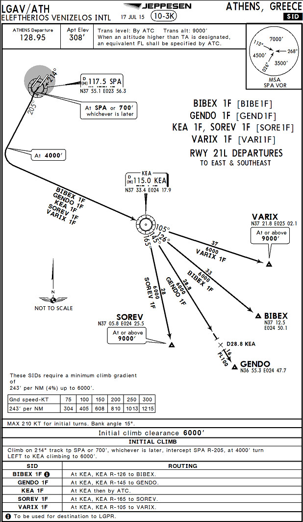
The departure clearance was KEA1F pic although ATC also had to read that out several times before I could decipher it, due to the accent. Plus the transponder code. Nothing else. After takeoff, all went fine. I got just headings (the SID was cancelled with a “continue heading” just as I was halfway through the turn specified at 4000ft) and then we got an "own nav" to Milos.
Soon after departure:
Another grand view of Athens
The last of the mainland
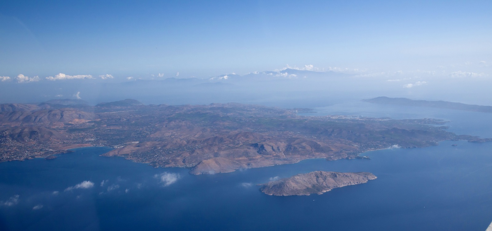
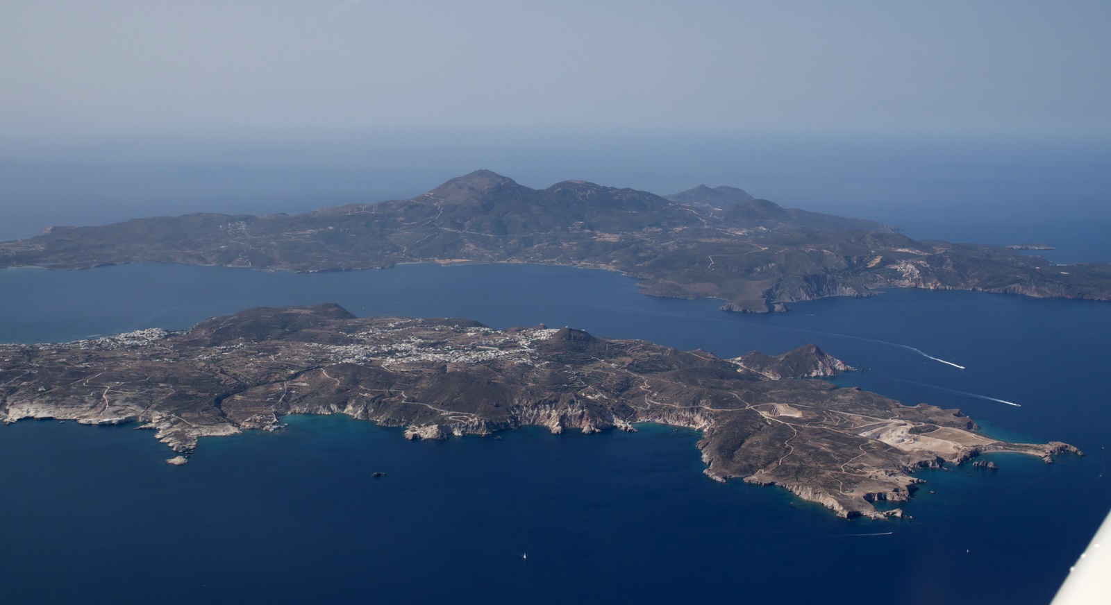
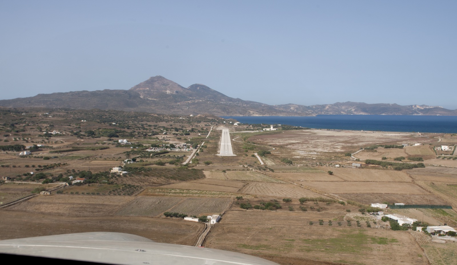
Eventually Milos appeared in the thick haze. I was going to fly the VOR approach (there is some terrain down there so better to do this right) but it all became visible OK
At this point I was talking to Athena Radar who gave a descent from the original 8000ft cruise (later renamed as “flight level 80” – Athens TMA has a transition altitude of 9000ft, Milos has a TA of 4000ft, which is probably why Athens radar started talking in FL instead of altitudes) to 4000ft and when visual with the airport down to 1500ft. They asked me to report at MIL and whether I wanted some (unintelligible) approach. I simply asked for a visual approach and got it. It was not possible to get down fast enough before missing the option to turn right base and land, so I asked for a left orbit to final, and then Athena got 100% busy with some arrivals into Iraklion and I could not get a word in edgeways, so I just changed to Milos Information and landed… There is no landing clearance involved. It was odd to get controlled down to such a low level, by a unit which is really busy at times.
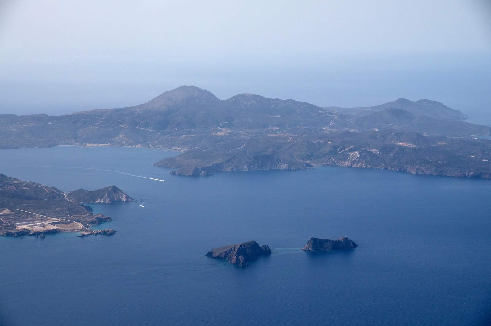
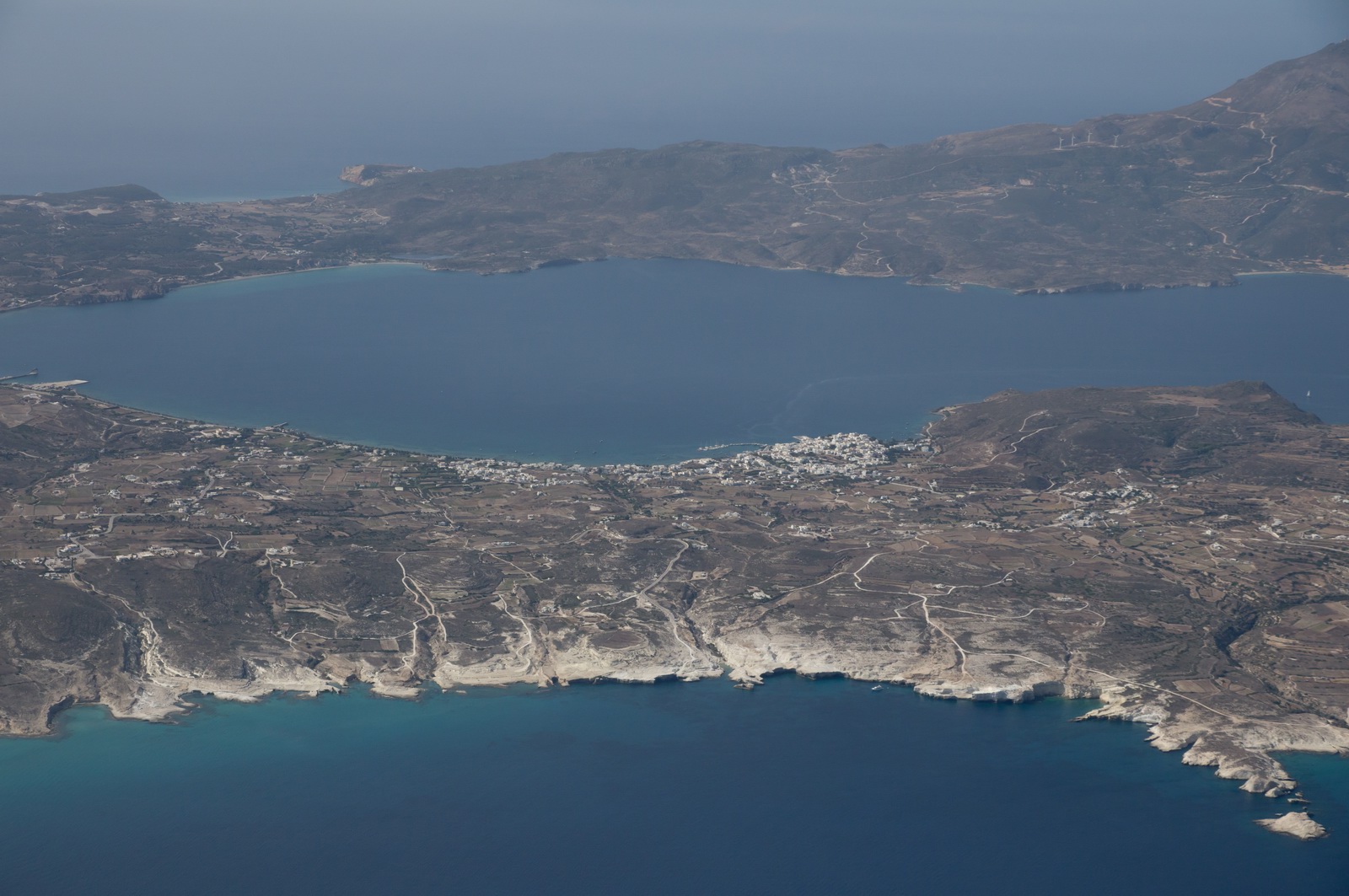
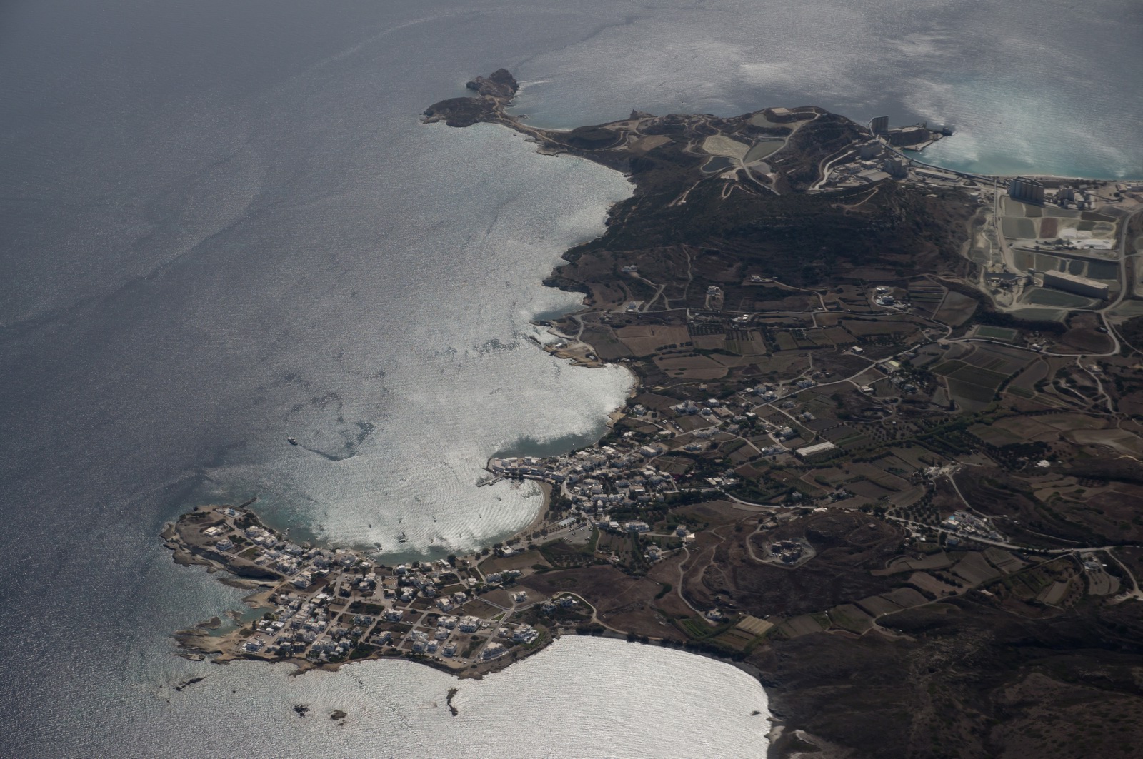
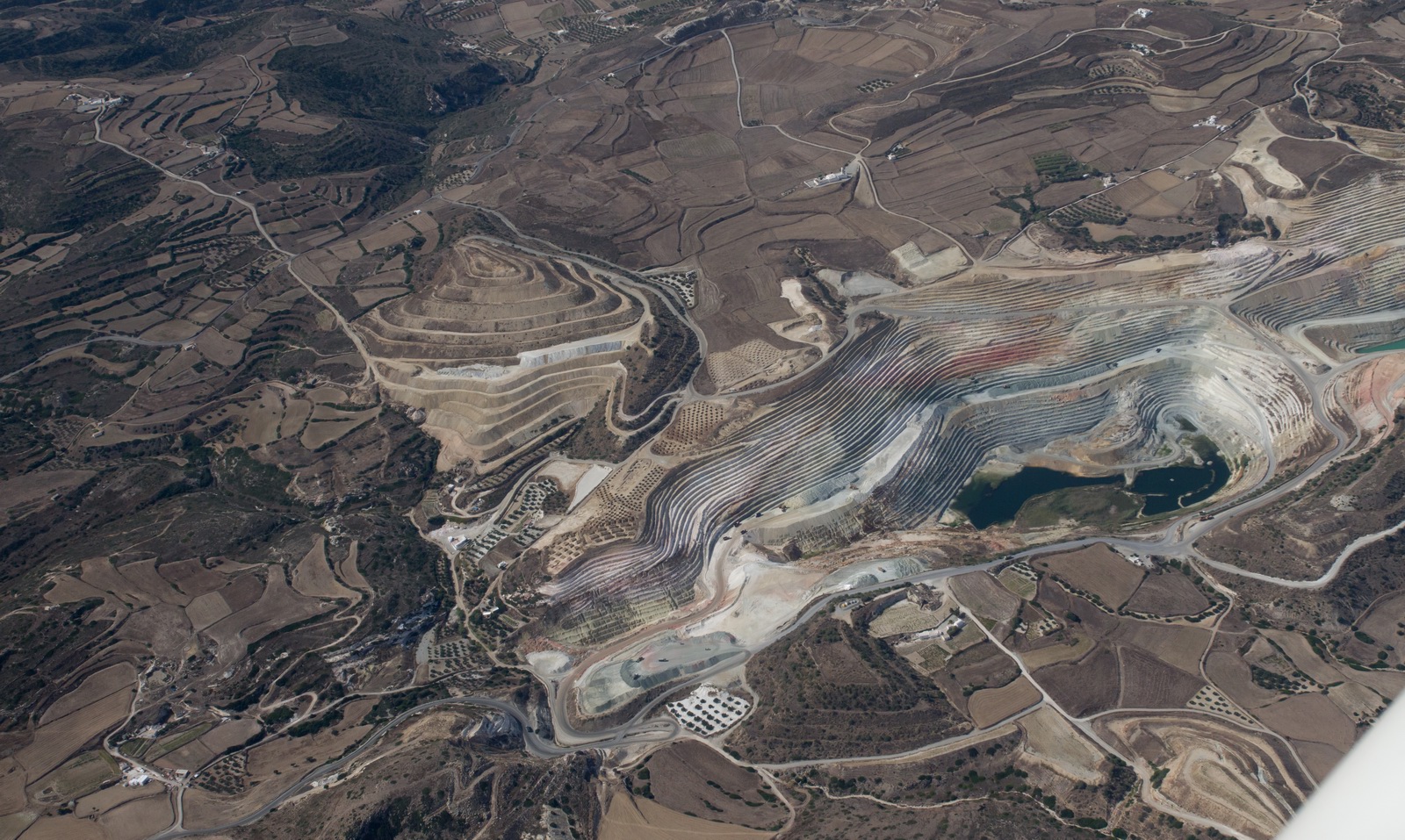
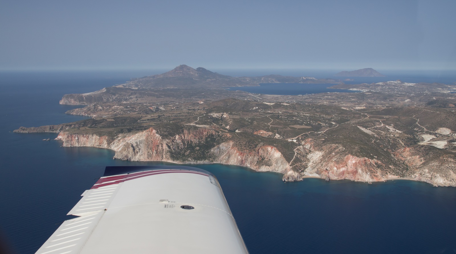
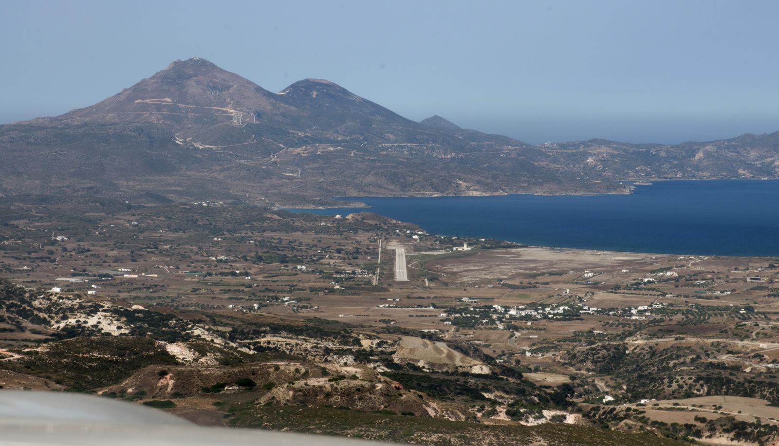
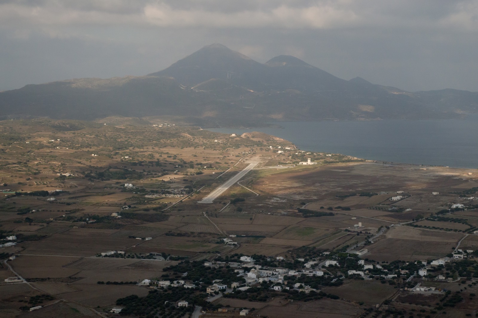
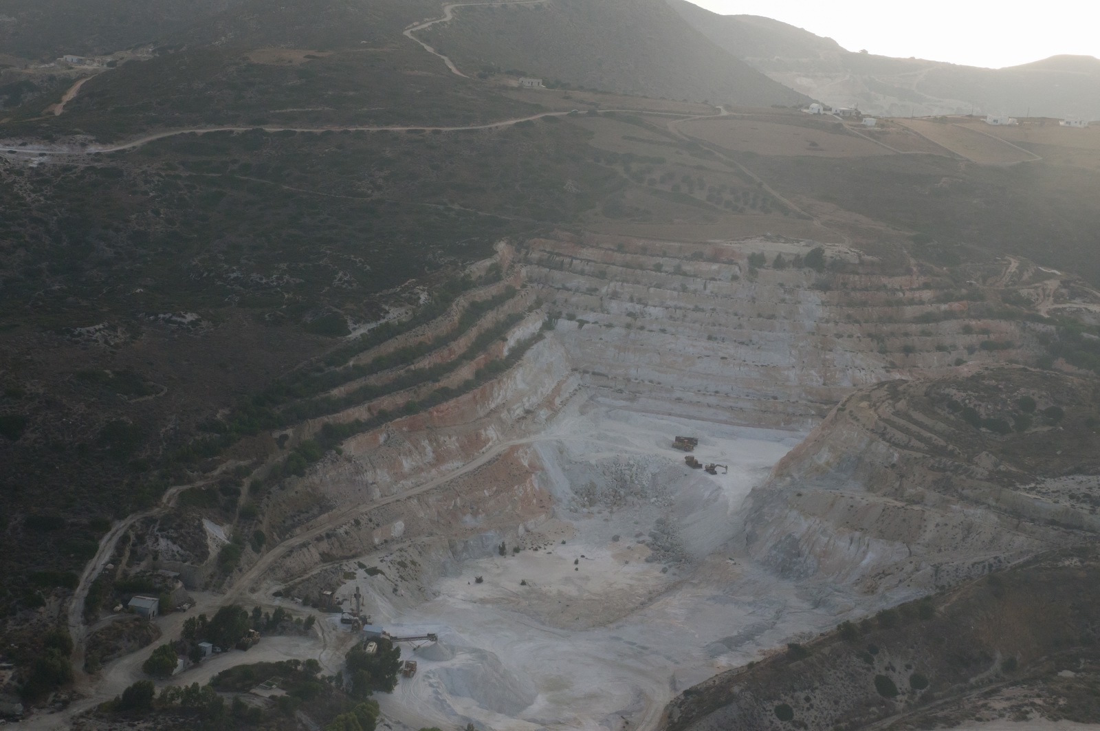
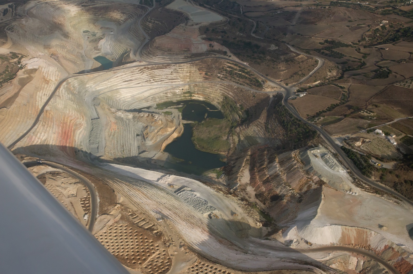
The famous multi-coloured quarries of Milos
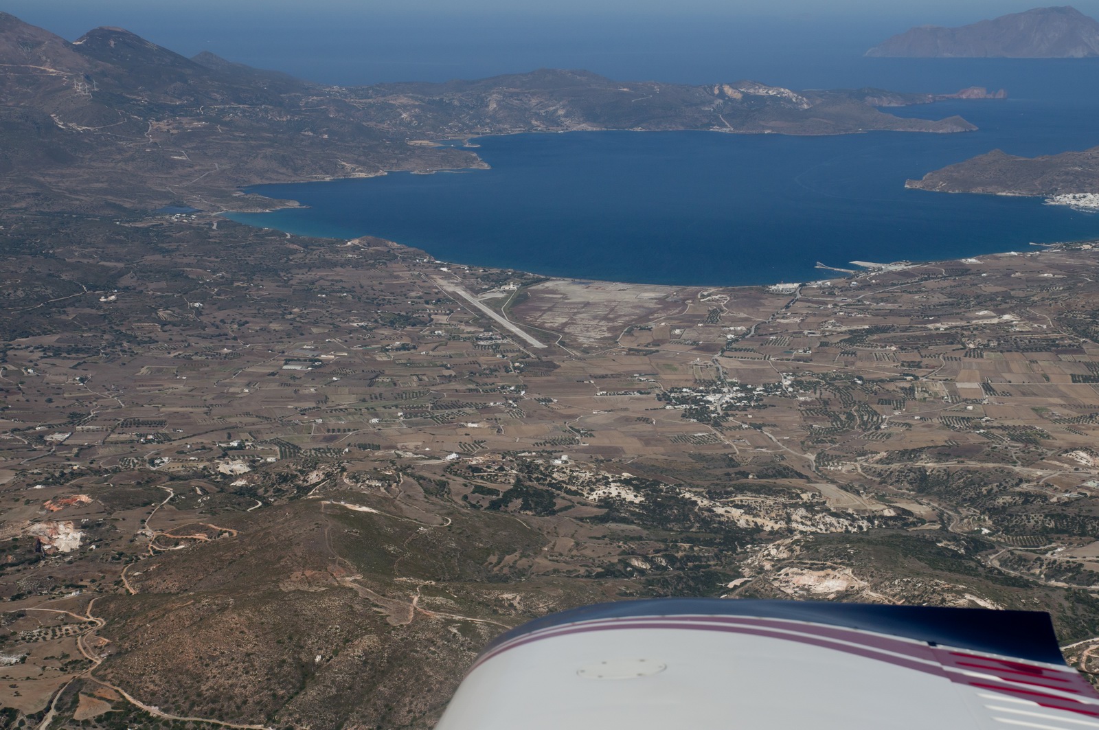
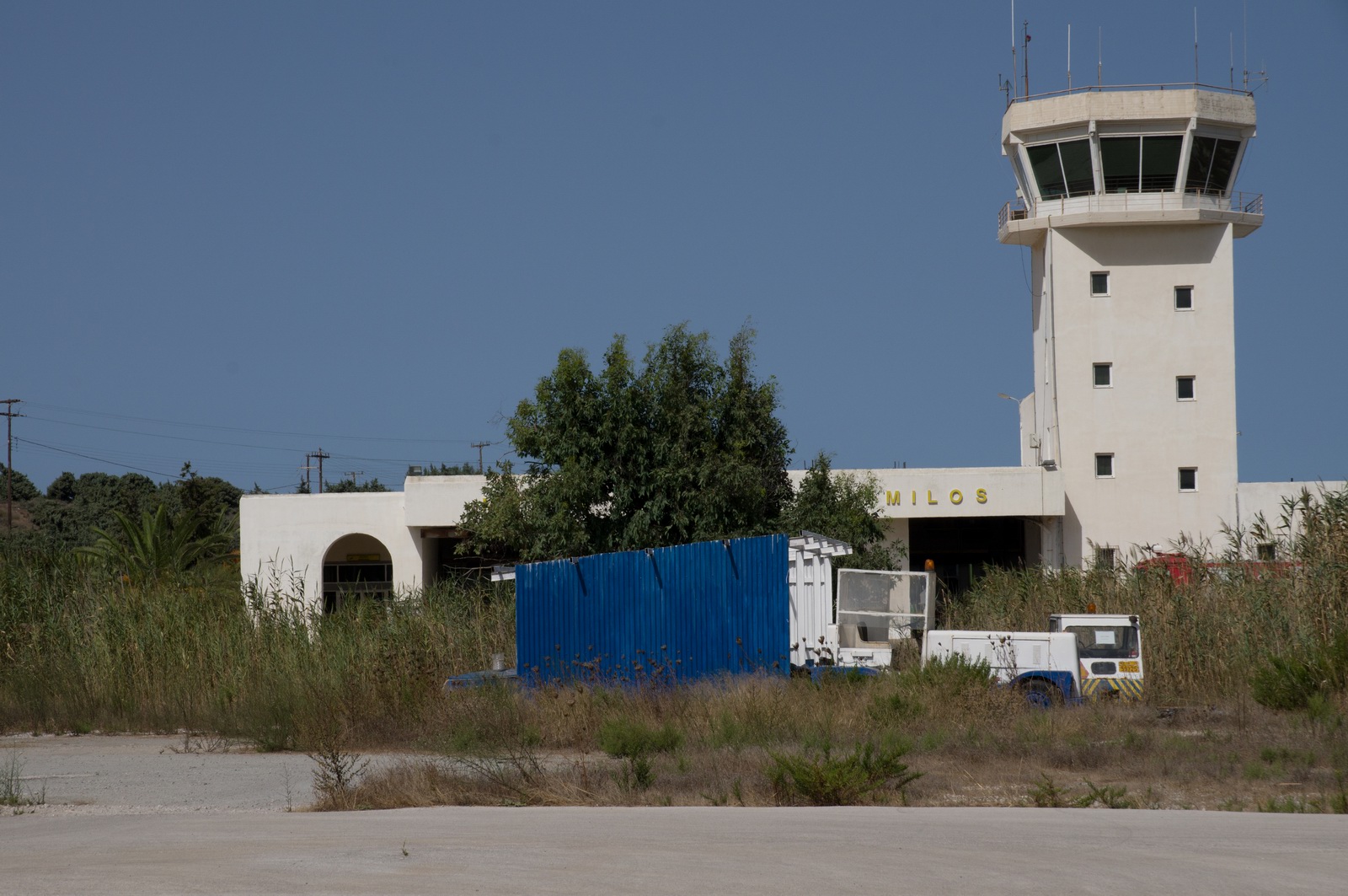
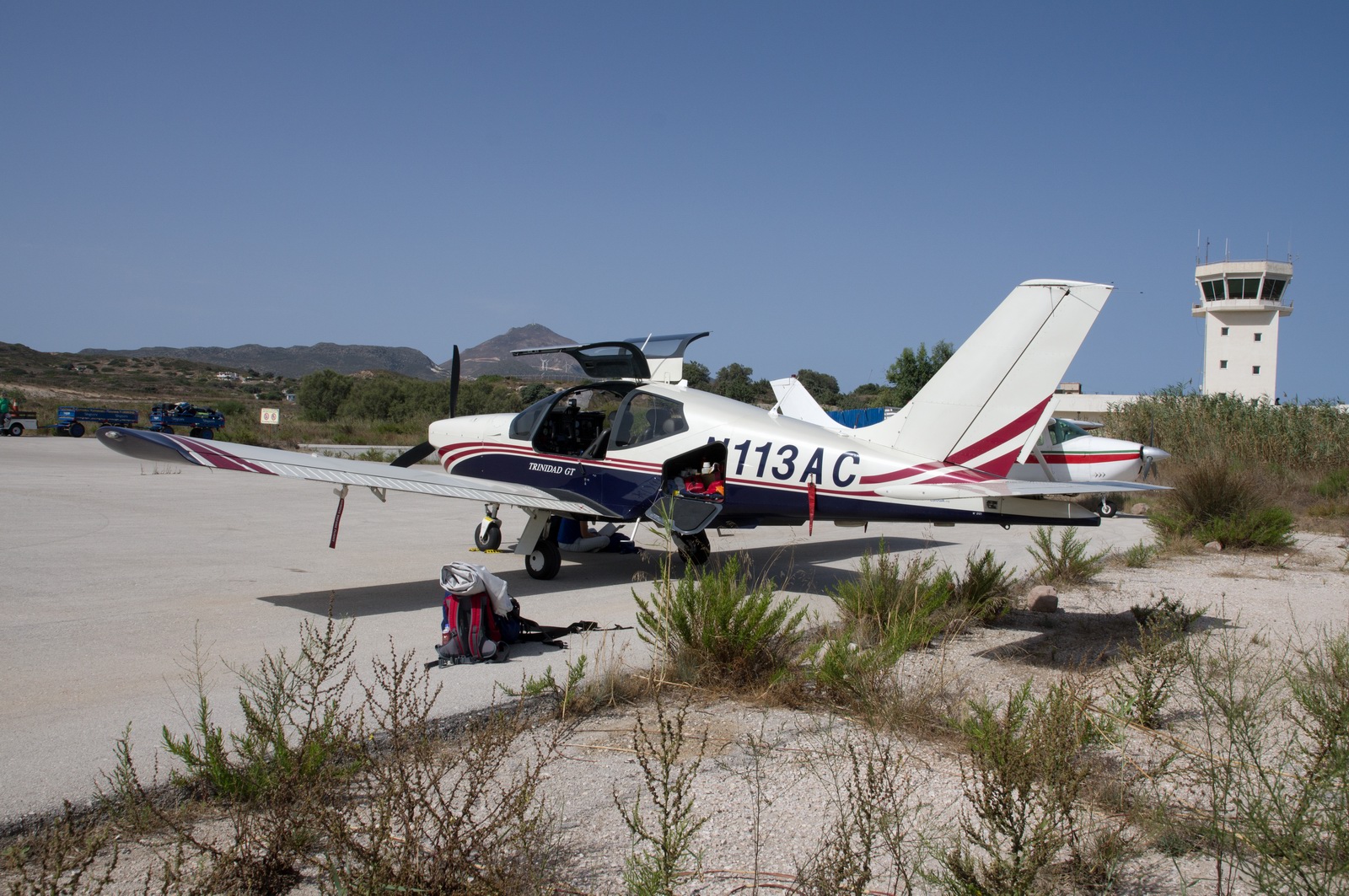
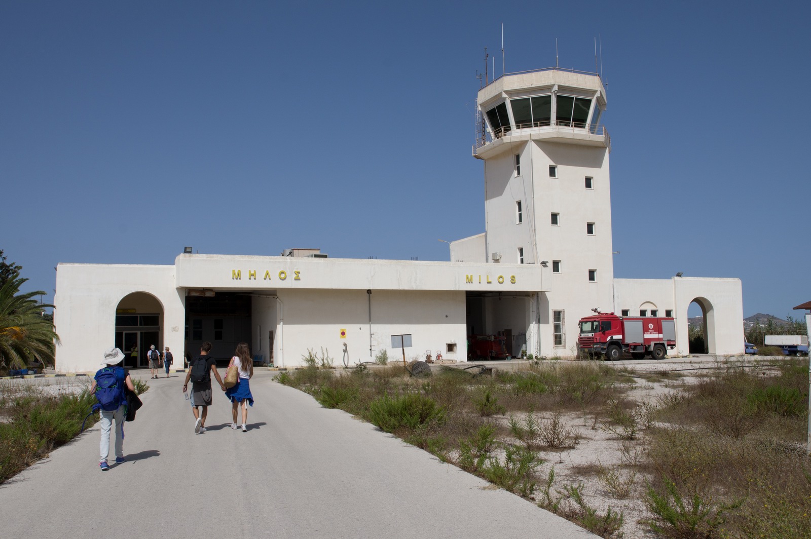
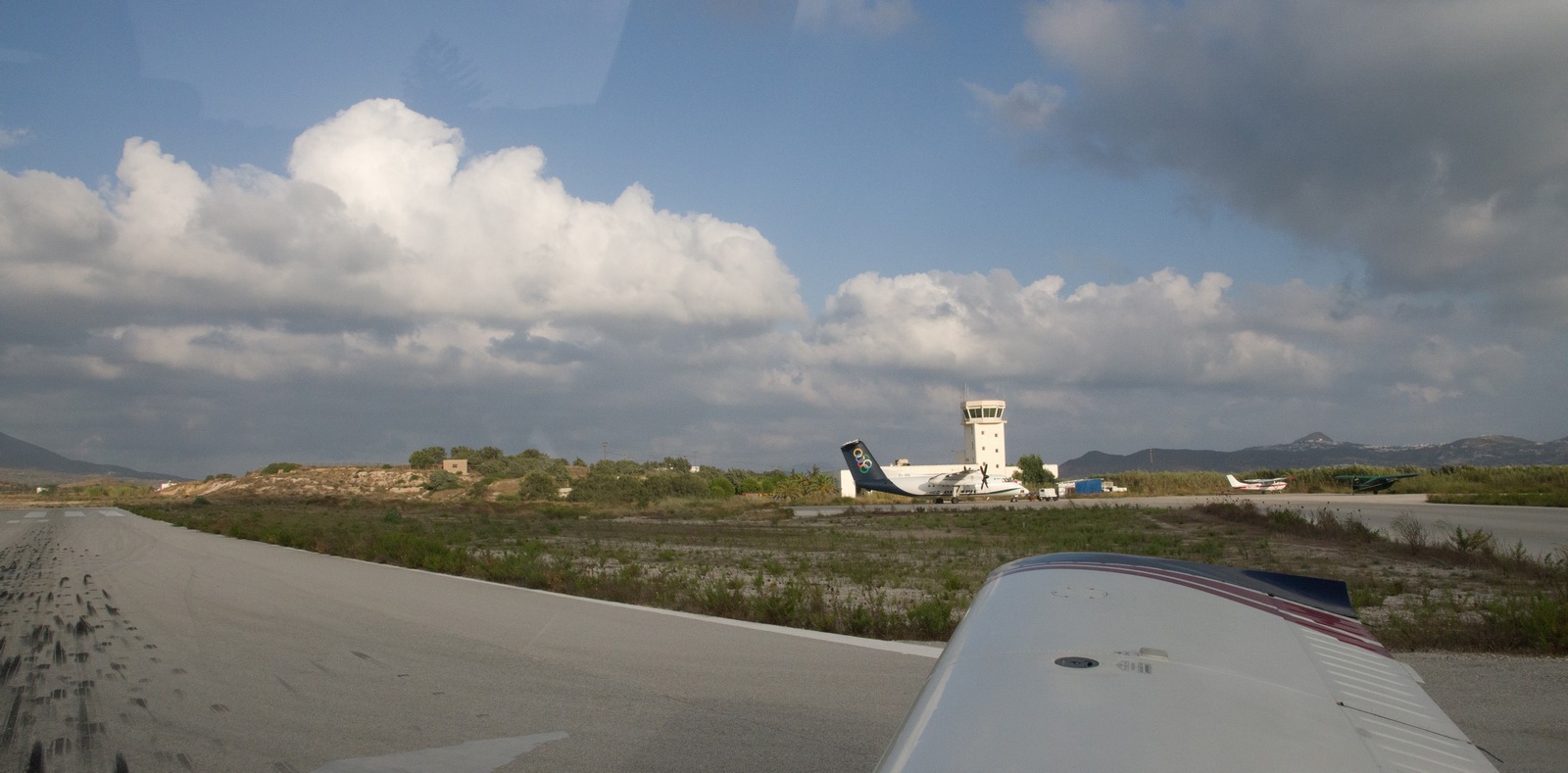
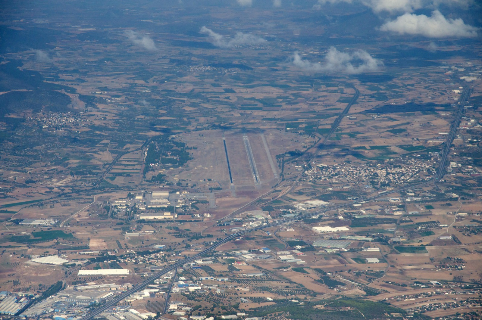
Milos airport
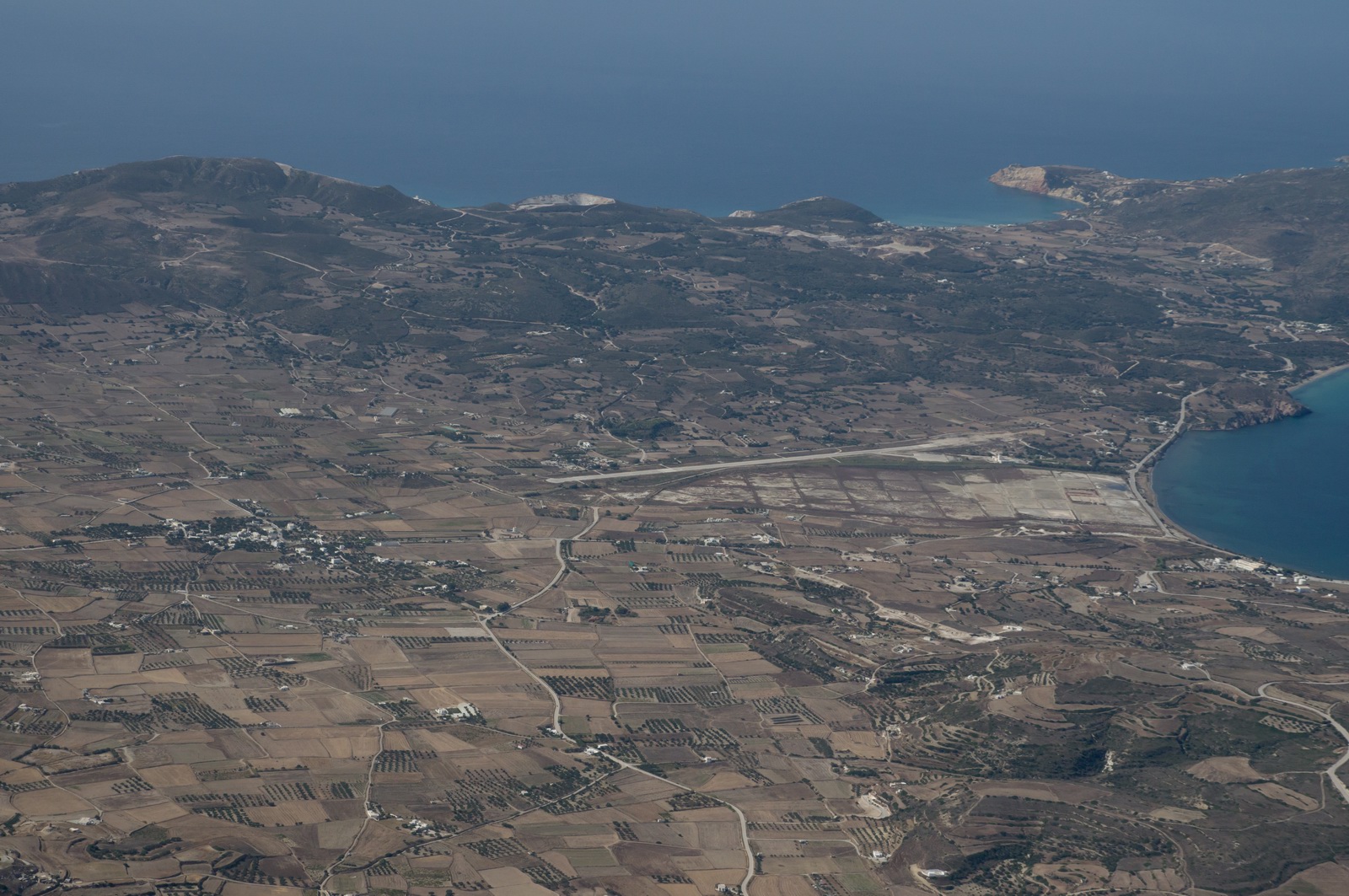
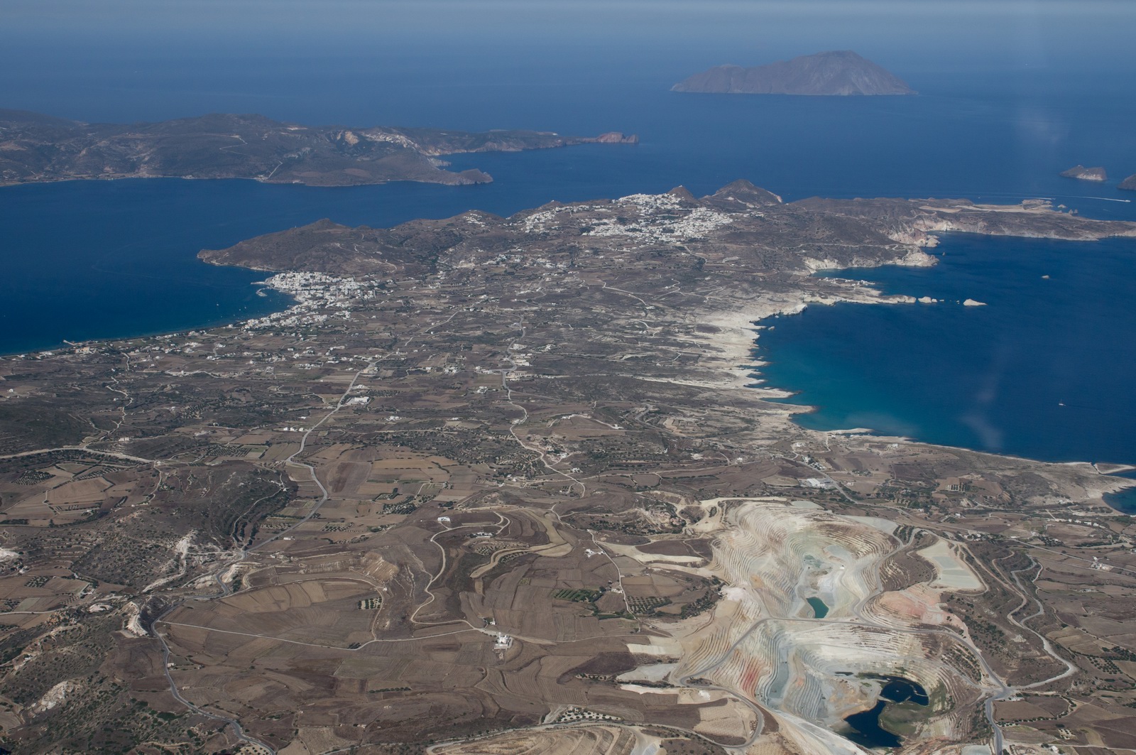
The airport, viewed from the landing direction
This was about the point I decided to give up trying to call Athena and changed to Milos tower - Milos runway 26
Justine hiding in the shade behind ![]()
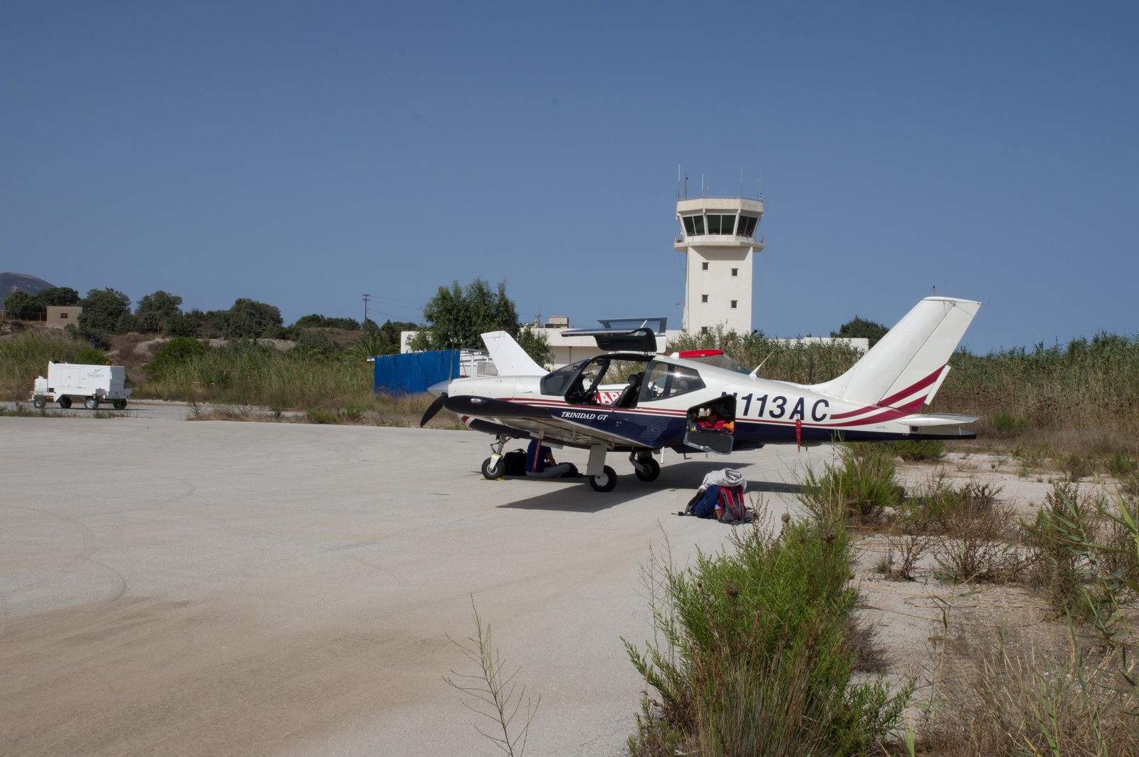
Milos airport looked "quiet" which is just how one expects a real
Greek island to be ![]()
The Cessna behind my TB20 was a G-reg one. The owner tried to offer cost-shared sightseeing flight in it, in accordance with the new EASA regulation permitting it, but the Greek authorities blocked him...
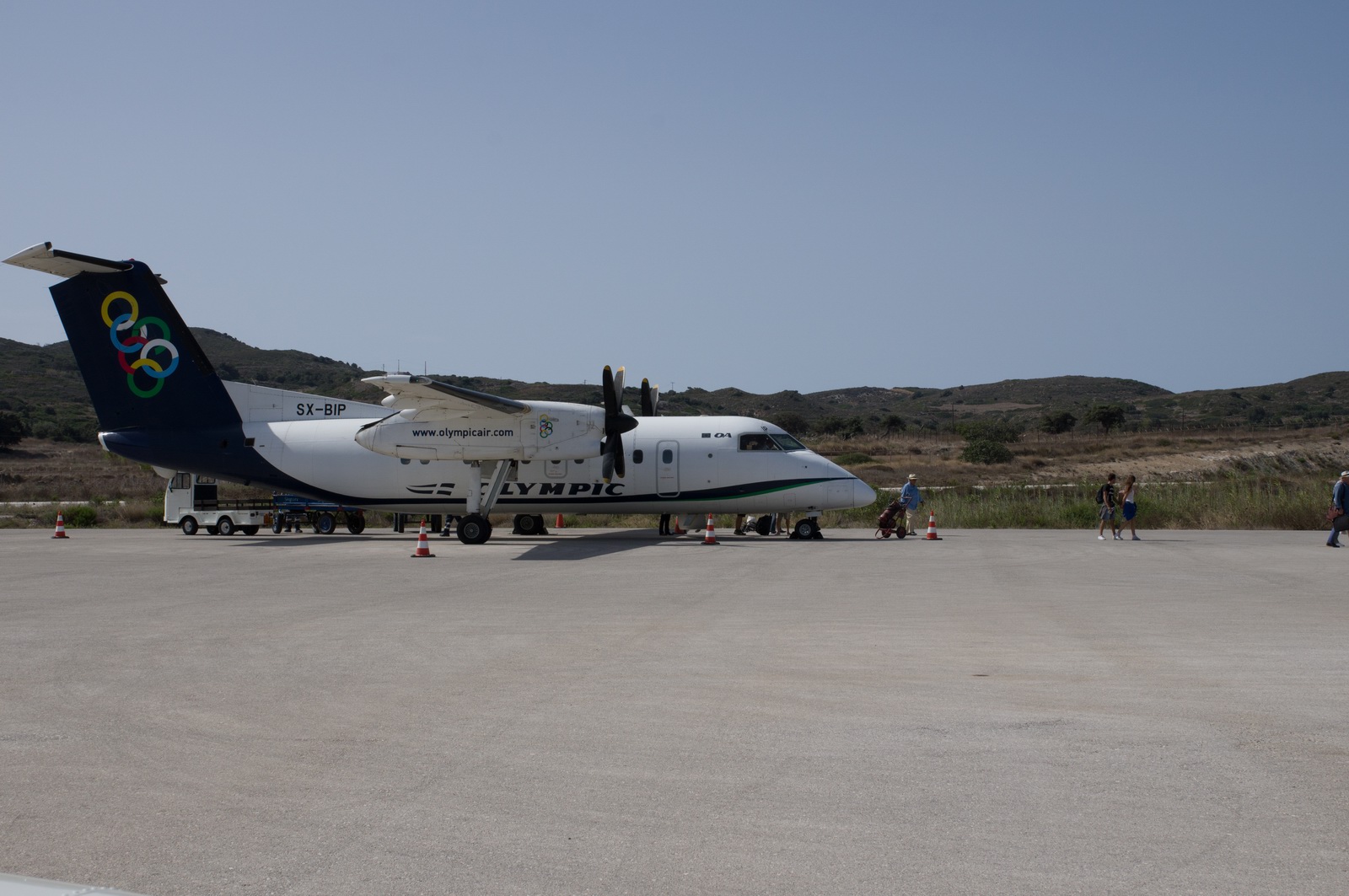
This turned up 15 mins later. It is the standard twin turboprop aircraft which flies all around the smaller Greek islands. It usually starts at Athens and then goes via several islands. Curiously - I spoke to the pilots of one last year - they fly back to the UK for maintenance, and with its ~2000nm IFR range that flight is doable directly
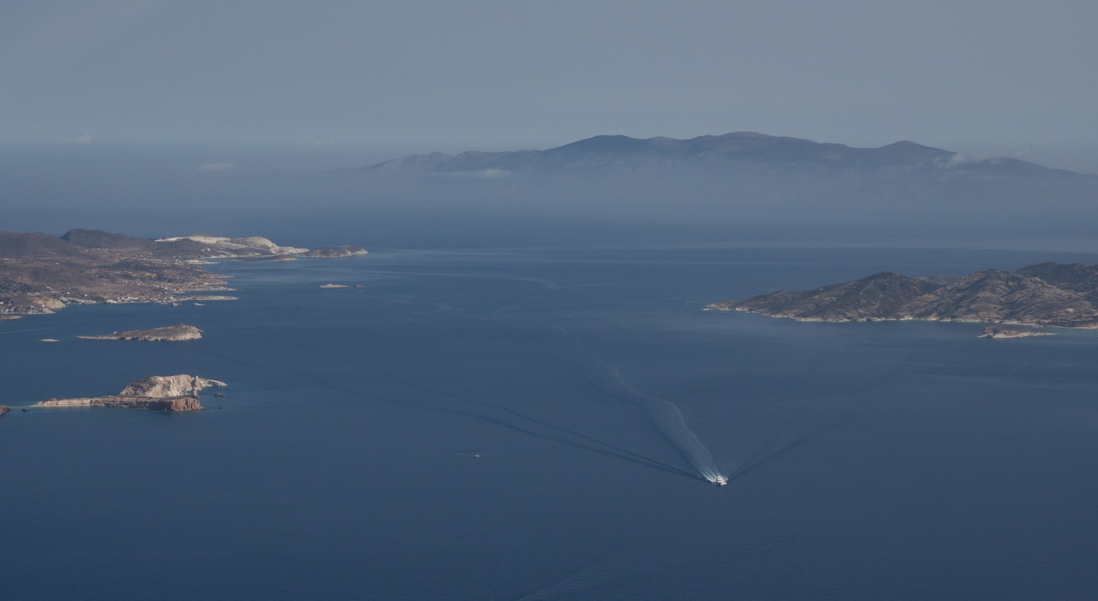
This was the track actually flown (in black):
I landed with 75 USG and this had to last to Skiathos and then to Corfu, otherwise it would have been Samos as the next stop for avgas...
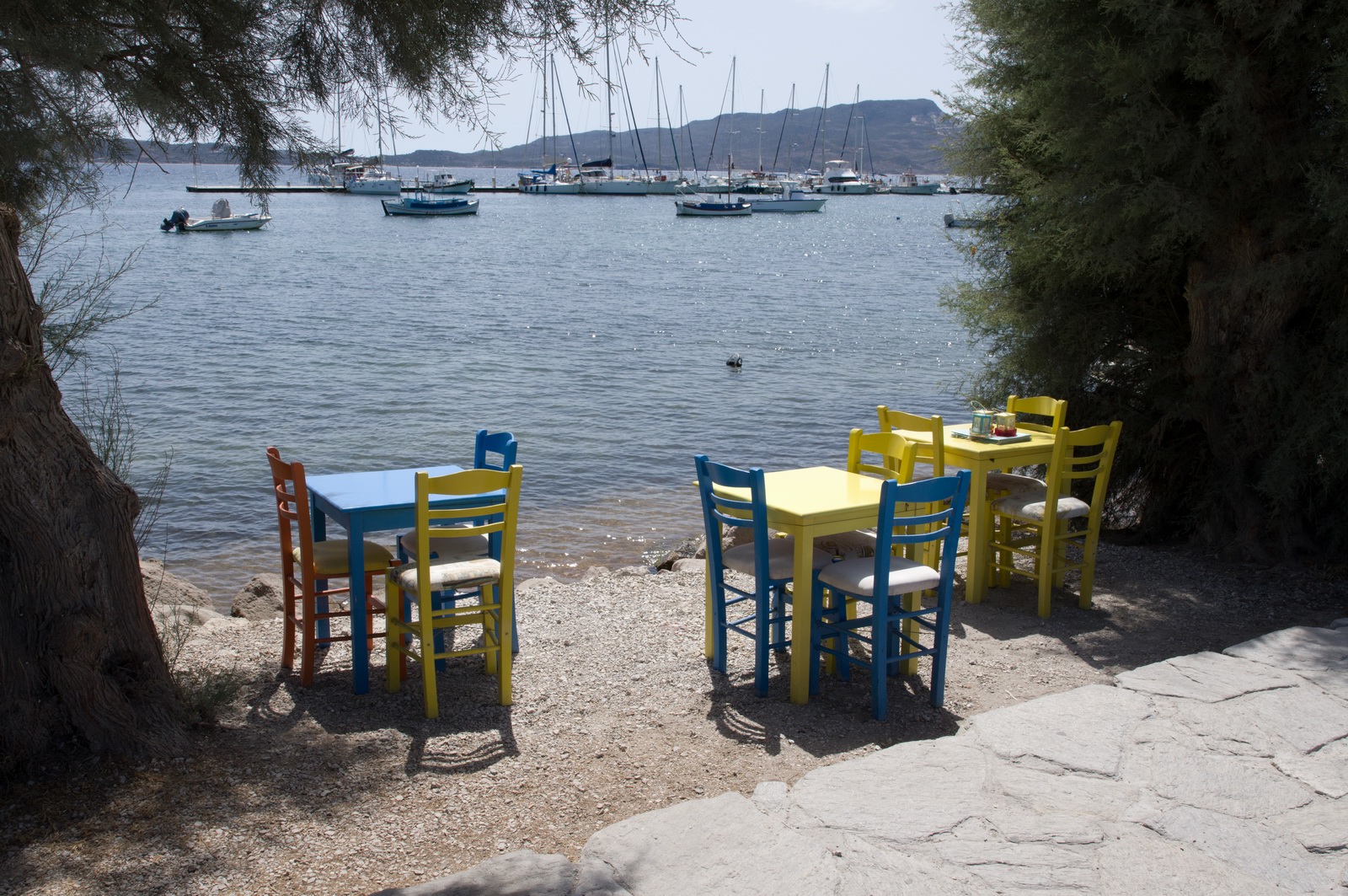
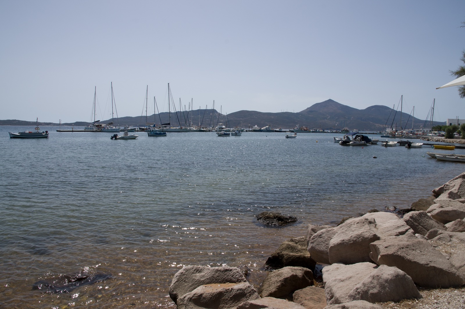
Finally - we are on a proper Greek island! Milos turned out to be a real treasure... there is a photo gallery further down.
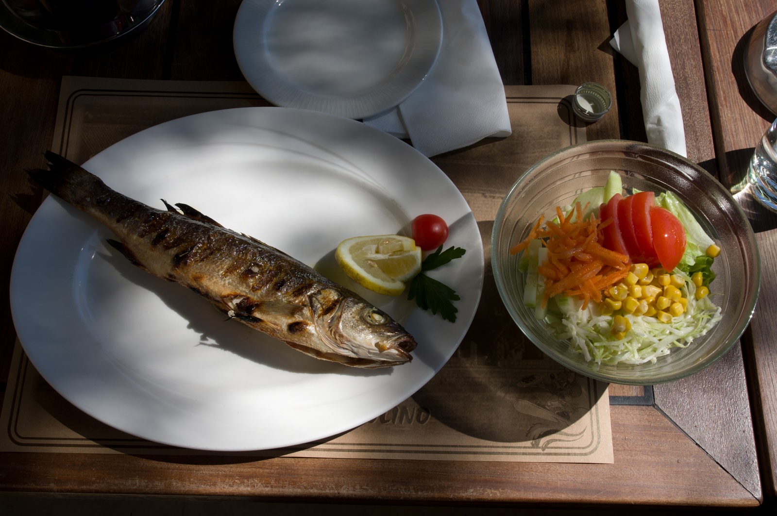
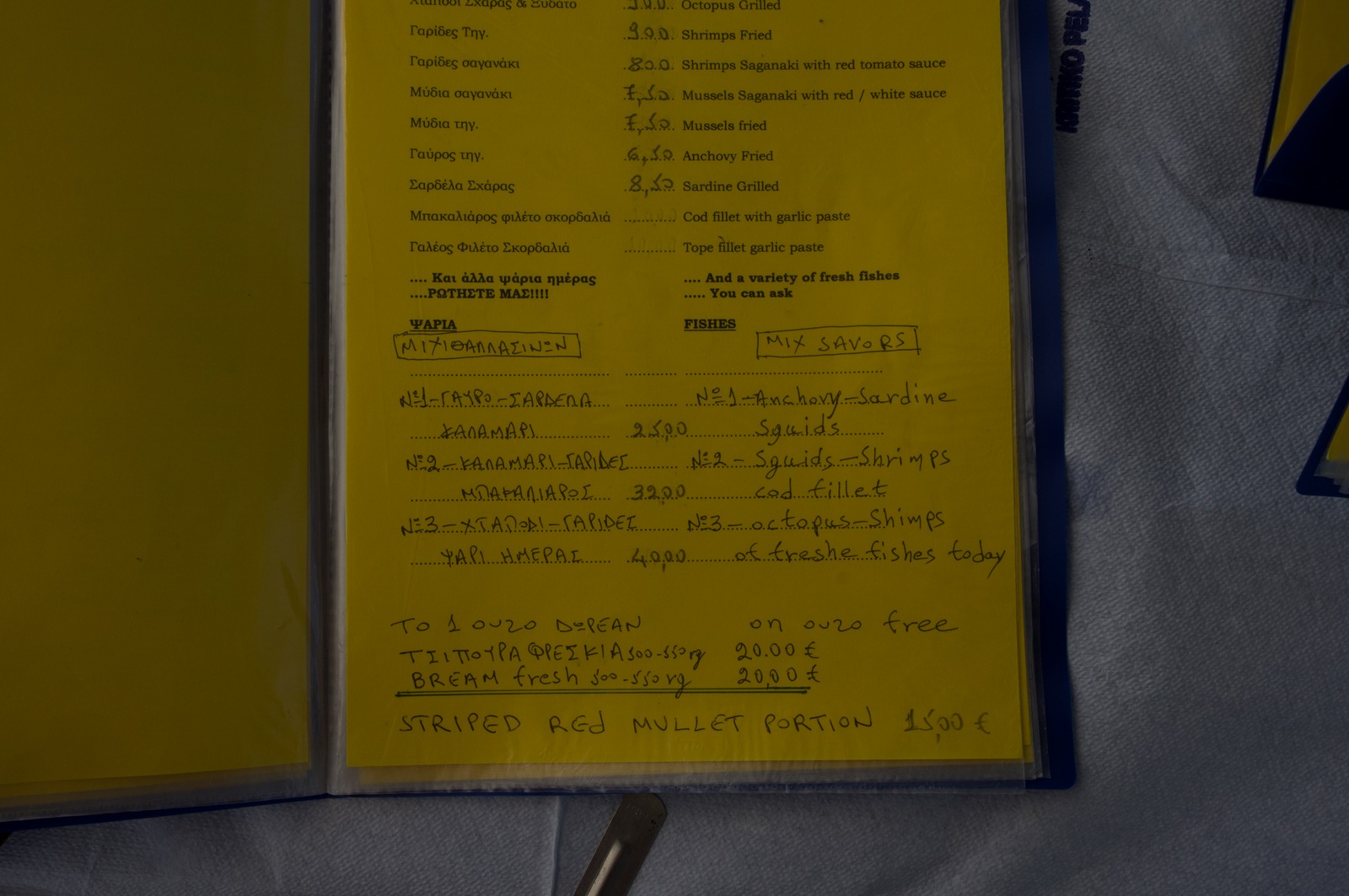
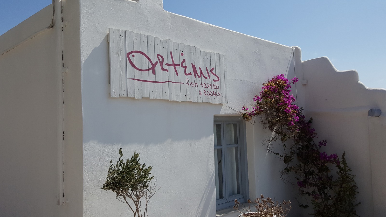
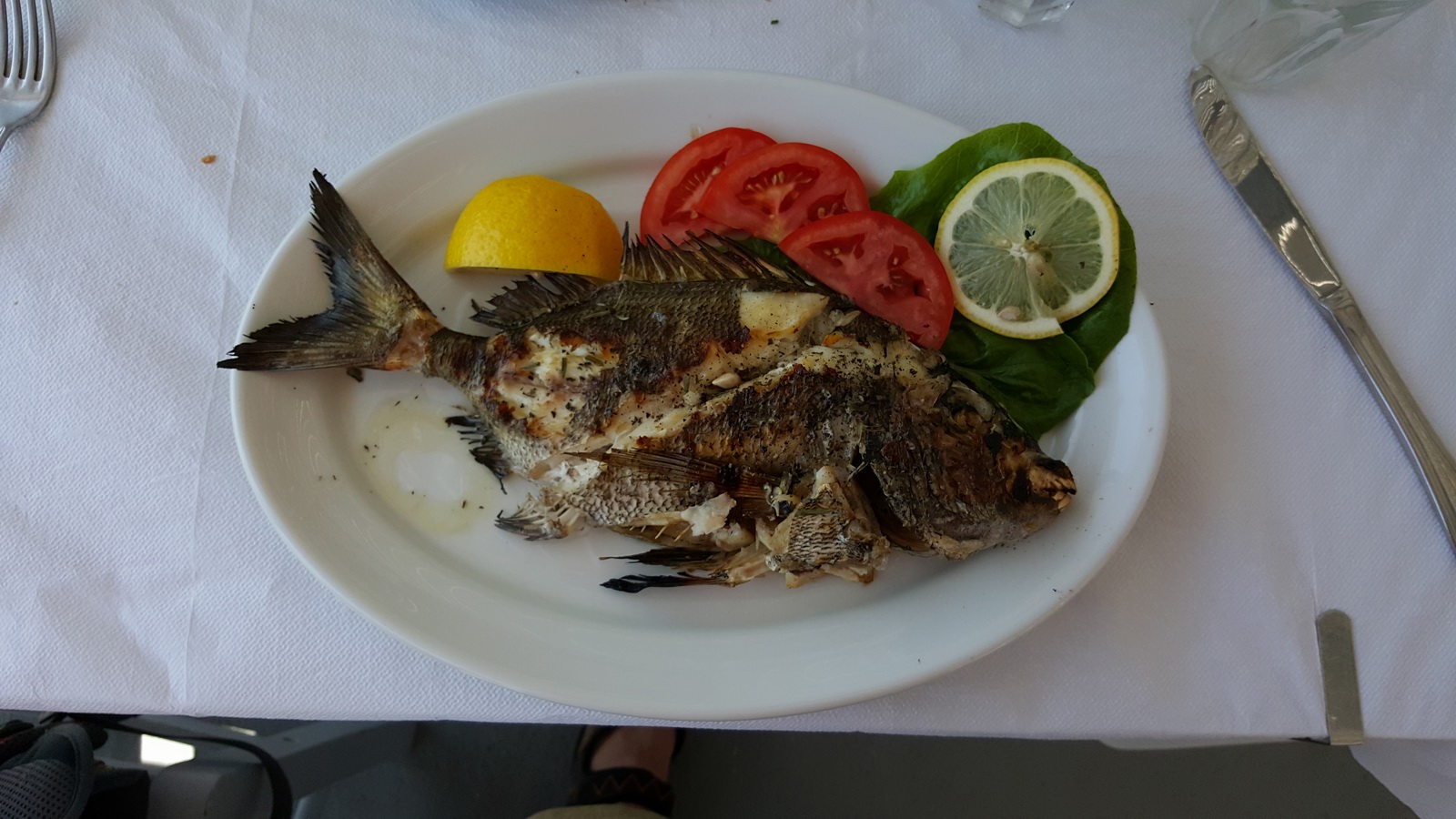
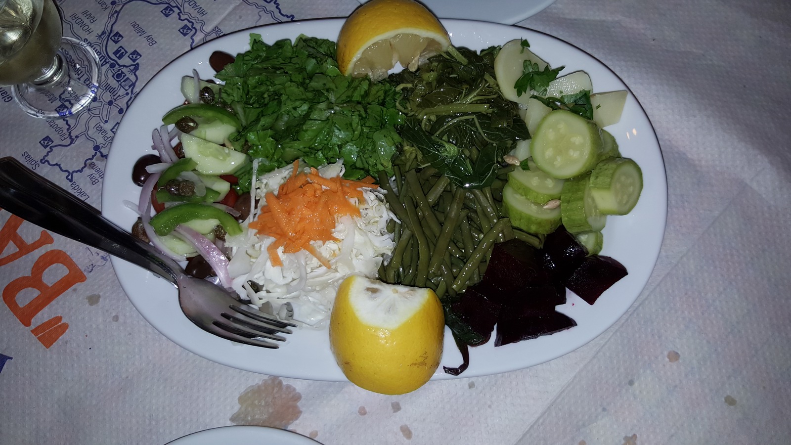
We had our first lunch here
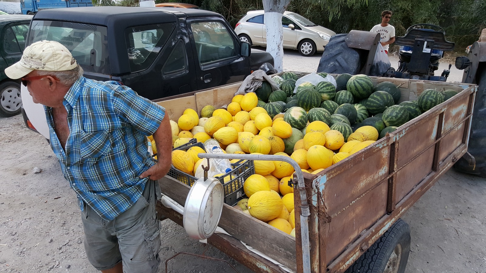
One of the many great things about Greece is that - apart from the tourist
parts of Corfu - it is difficult to find bad food. They have the best fresh
ingredients of anywhere in Europe. So, not everything on the menu is always
available ![]()
We stayed at the super Aeolis Hotel.
Highly recommended. Everything worked, clean, could not ask for more ![]()
You can find the "other stuff" too if you need it ![]()
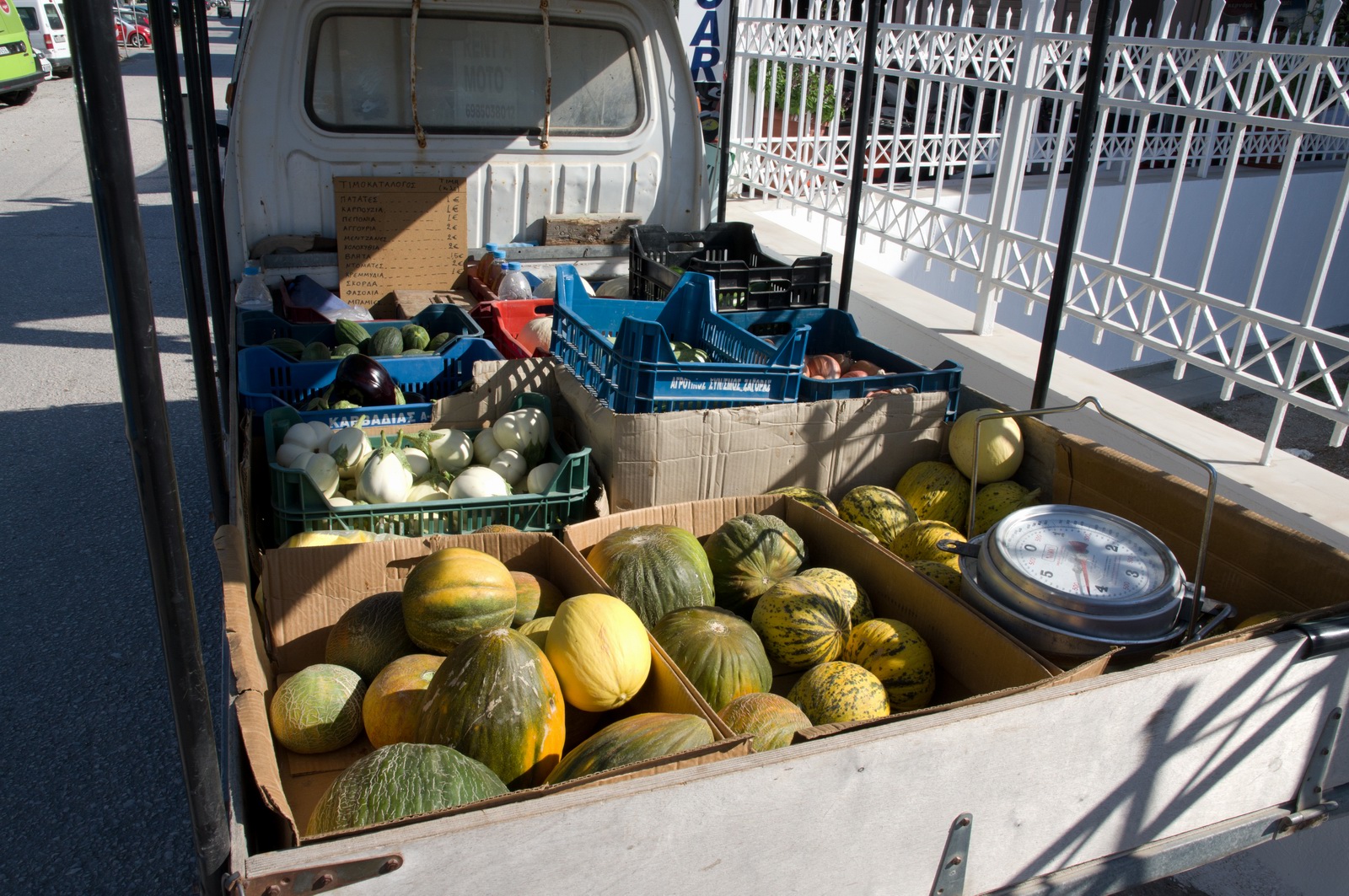
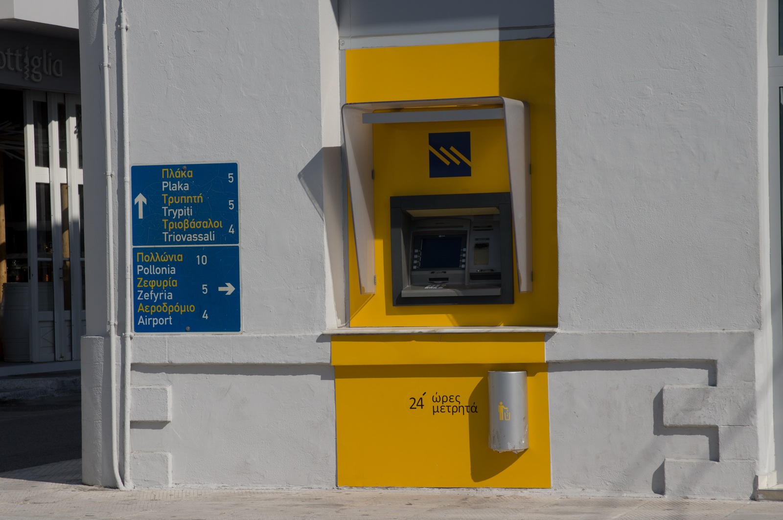
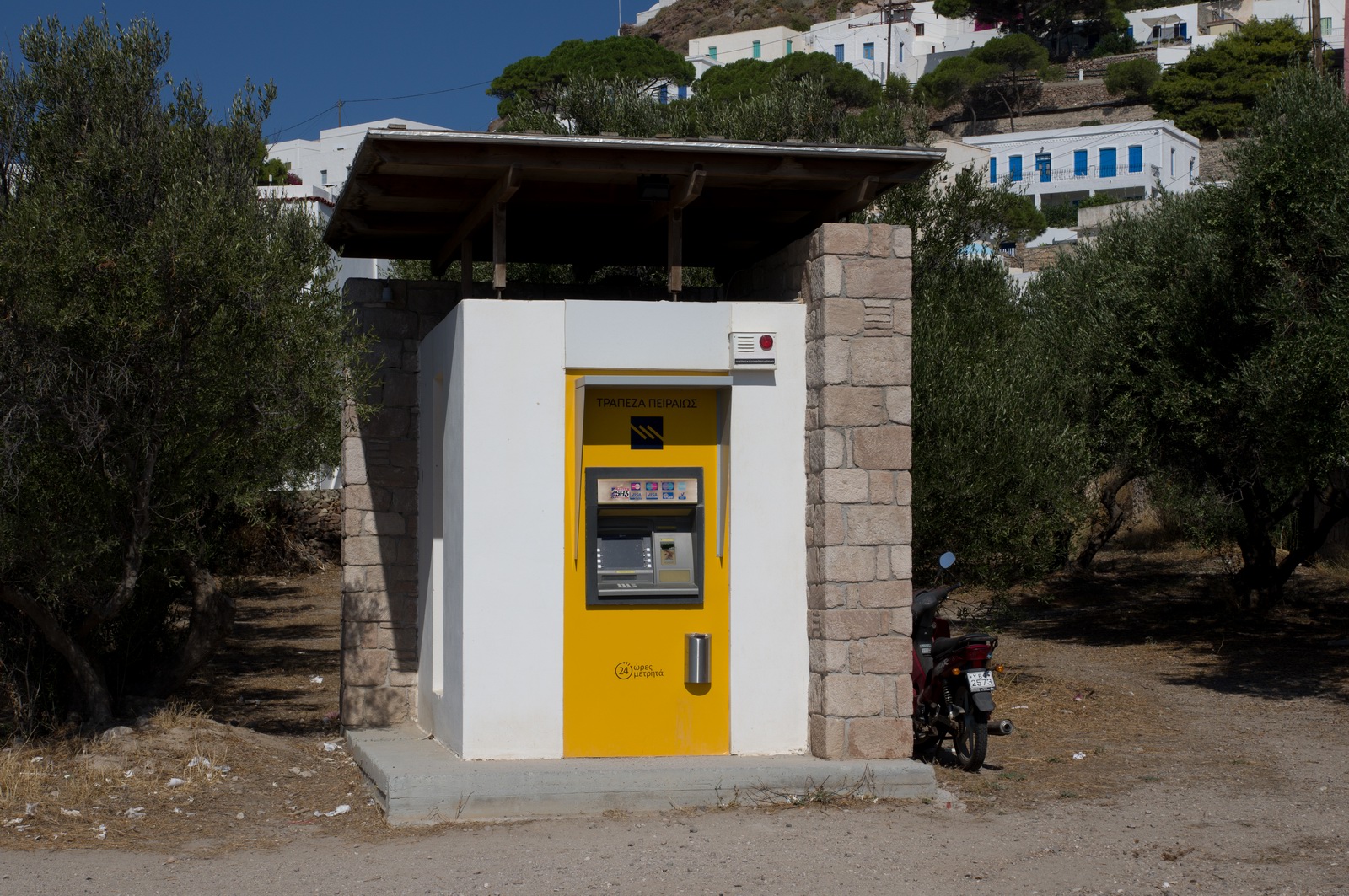
Contrary to news programmes in the UK and elsewhere, there were no queues at all at the ATMs
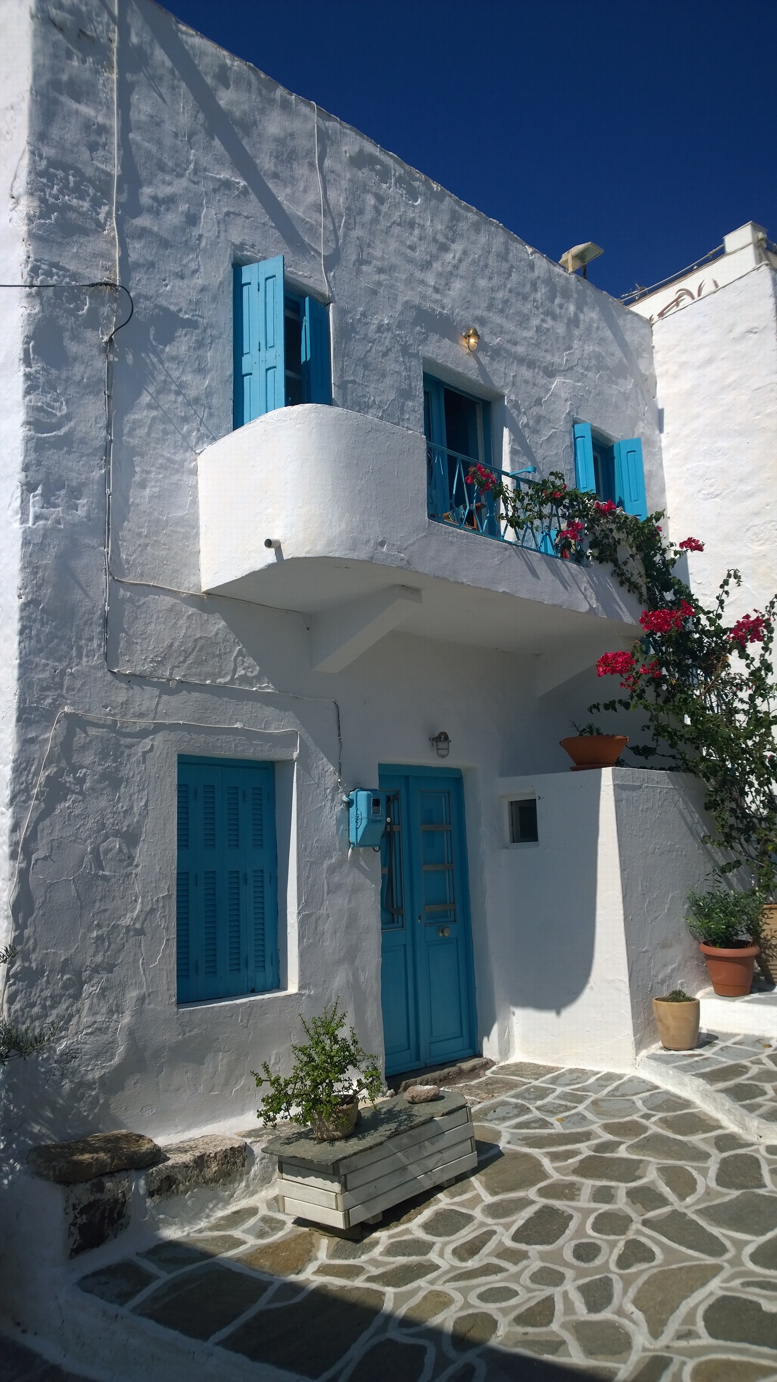
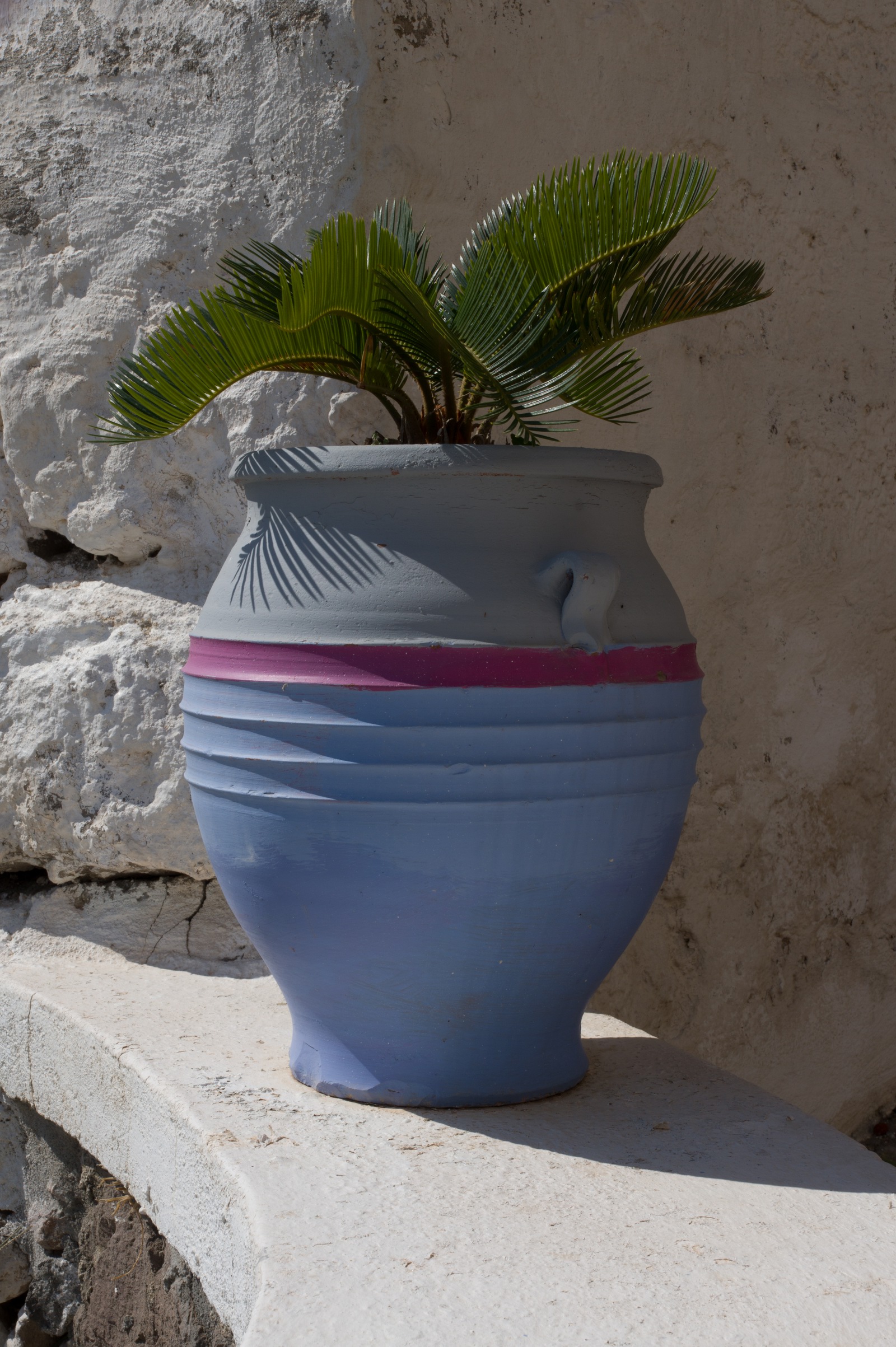
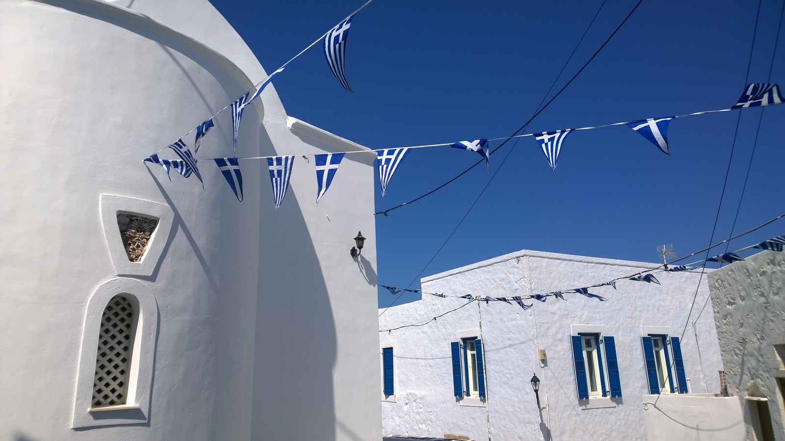
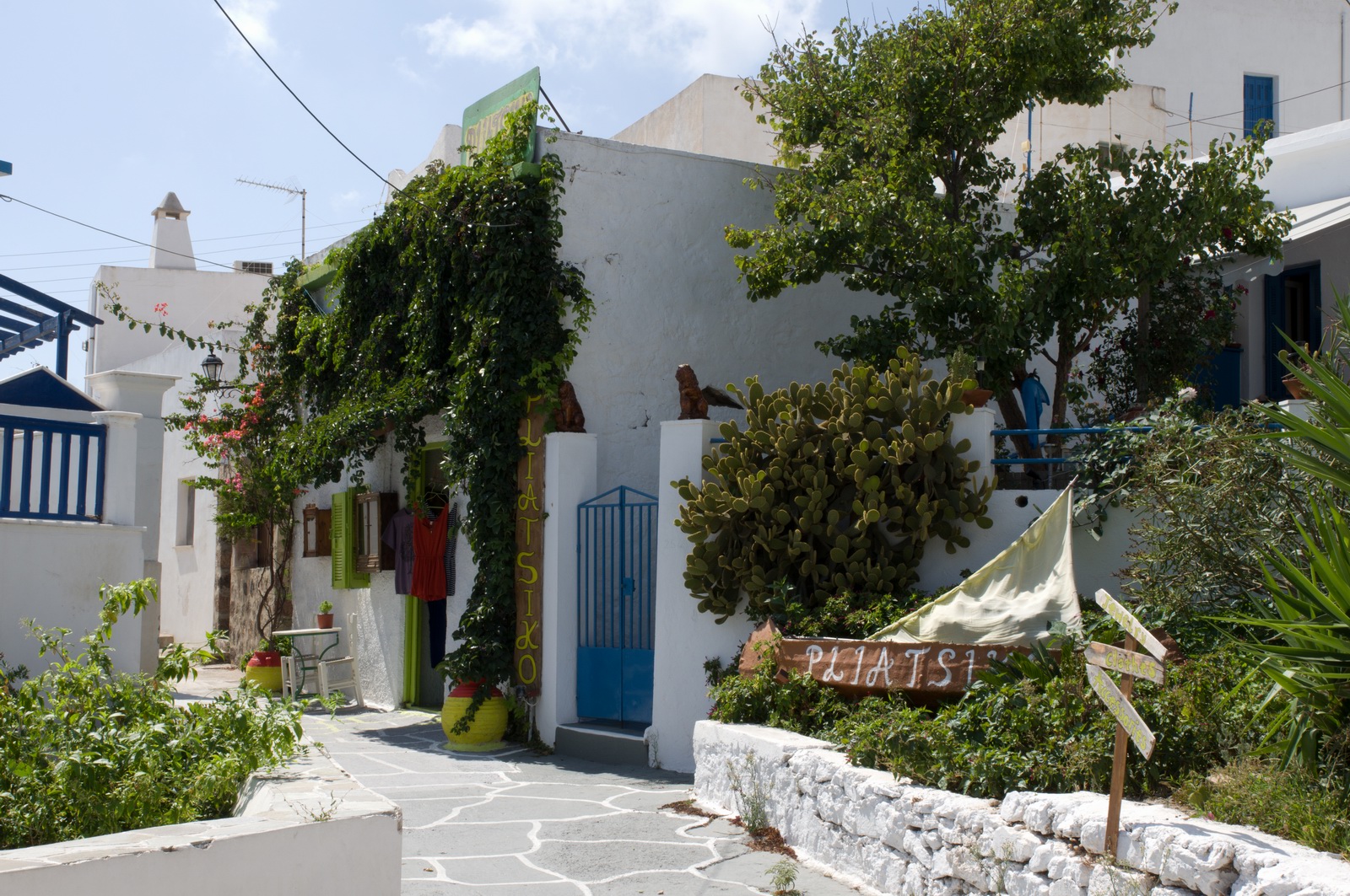
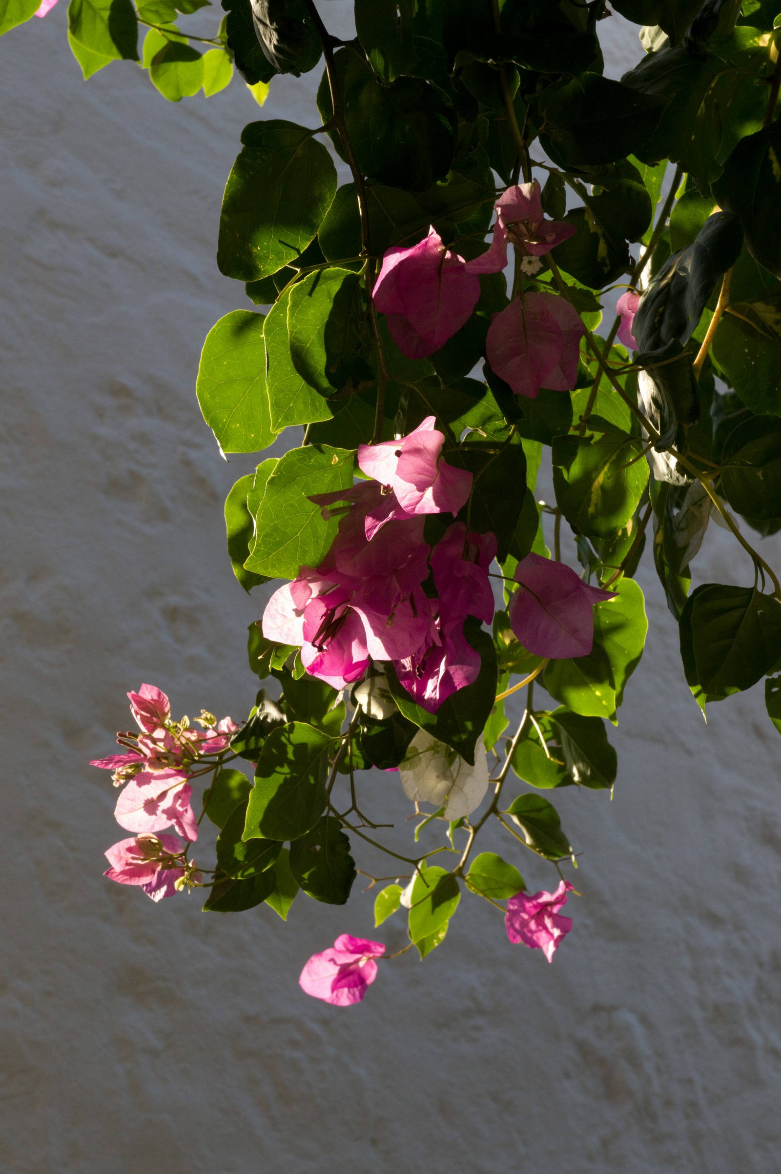
Greece is instantly recognised by the colours
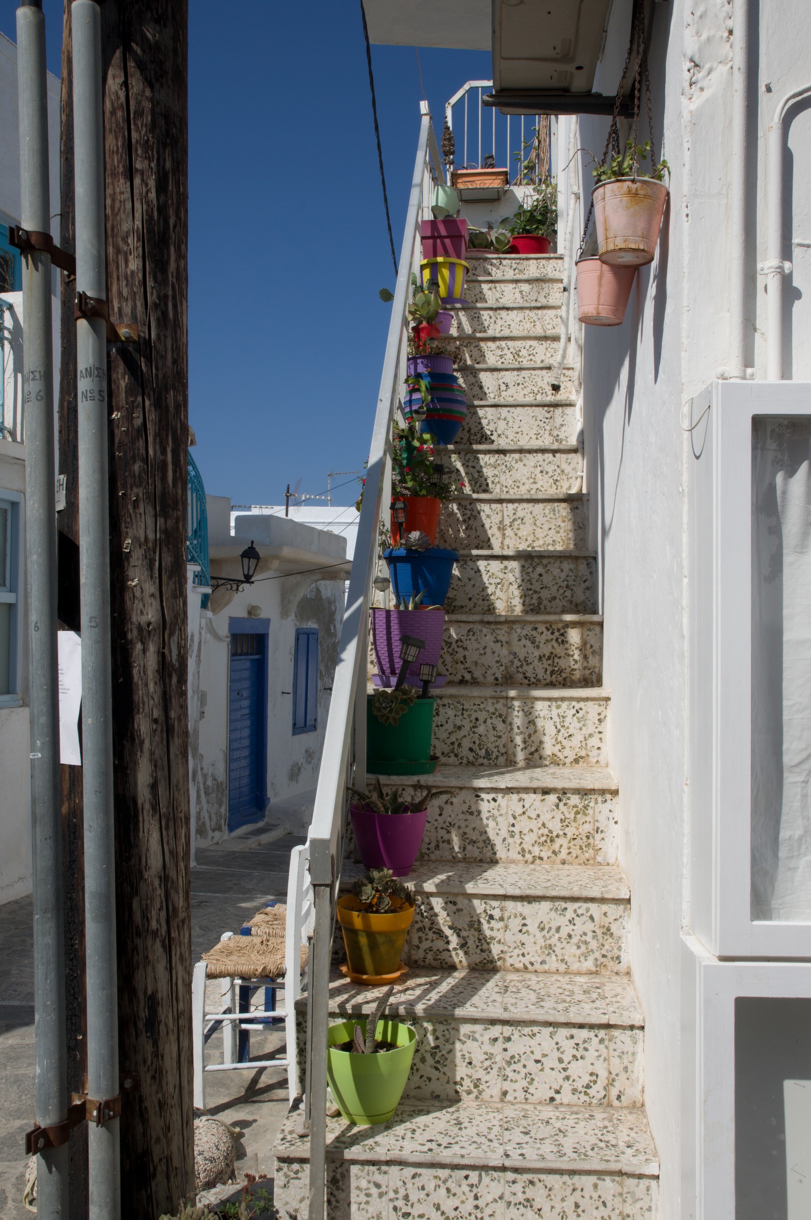
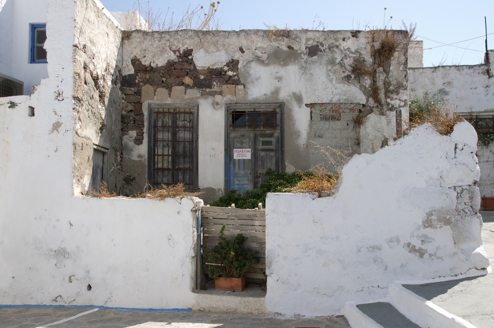
Derelick houses are commonplace on the Greek islands... often the result of a family dispersing to Athens, the USA, etc, and nobody wanting to sell the old family home
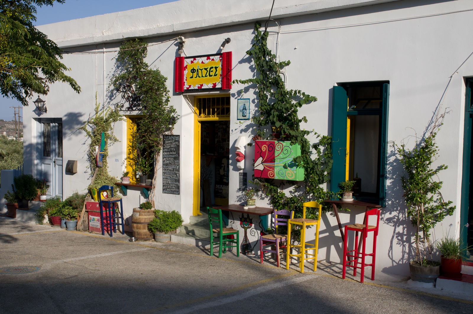
This place is called "faces" in greek slang ![]()
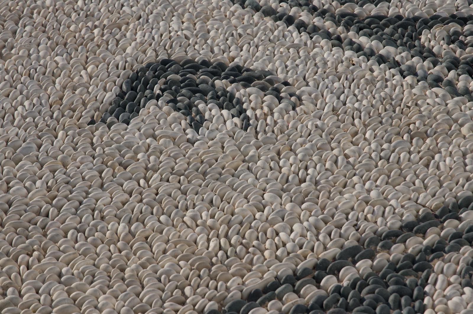
A pebble walkway
We took a bus to this beautiful beach - Paliohora
UK "celebrity chefs" criticise Greek food because it is simple but that's because complicated cooking and the use of sauces is standard in N European commercial catering to cover up poor quality ingredients
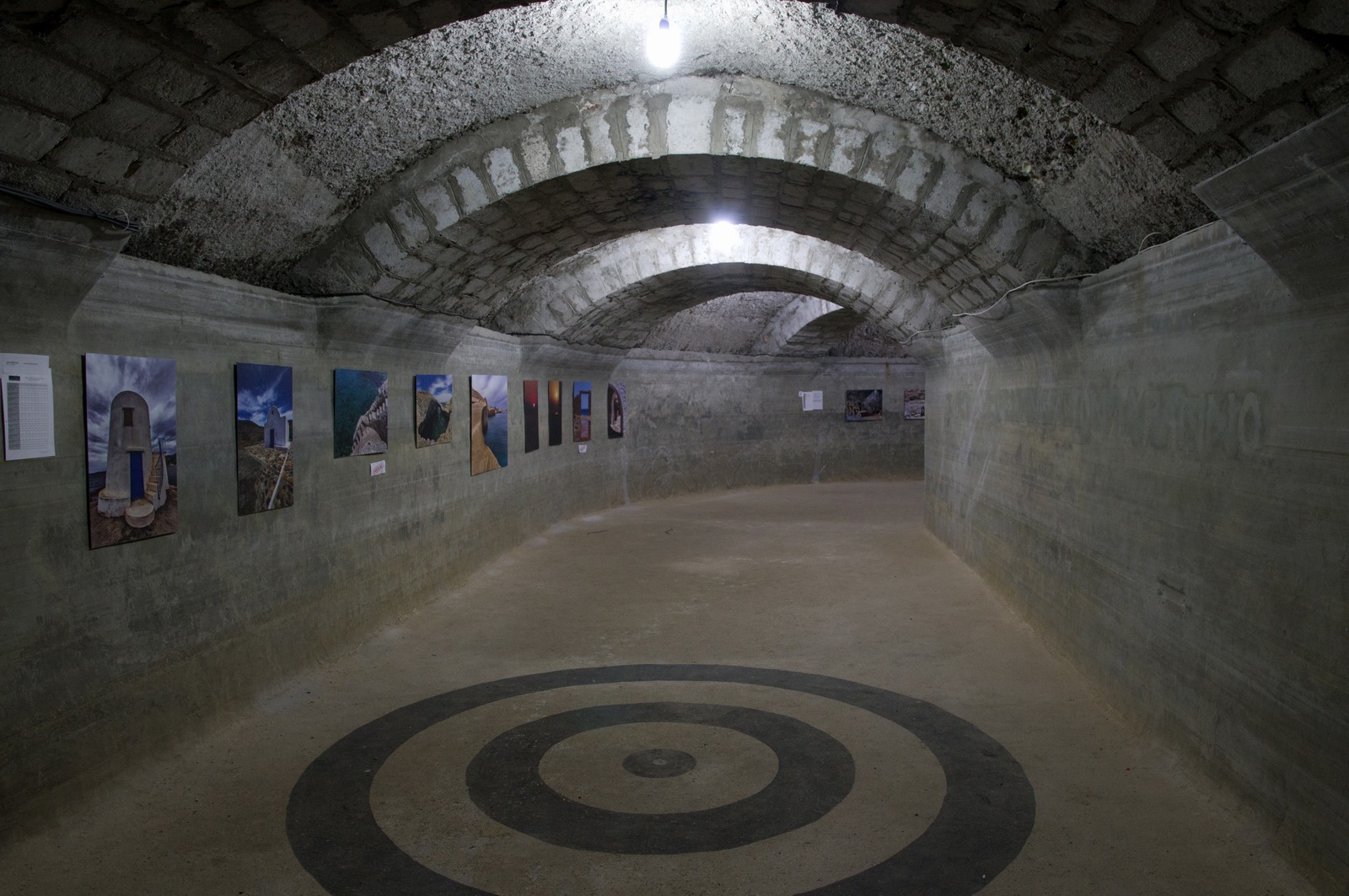
We visited the Milos tunnels which were used as bomb shelters during WW2. The Germans used them, having forced the locals to dig them out...
Milos, Greece to Skiathos, Greece
The weather was good: MSLP 0600 1200 IR radar sferics tafs/metars
FL080
LGML MIL1B MIL M749 ATV B1 SKP SKP11 LGSK
Alternates: Corfu LGKR
156nm (GC) 164nm (IFR)
The flight to Skiathos passes overhead Athens
The opening times of Skiathos are relatively narrow - notamed here
The G-reg Cessna was still there when we were departing Milos, but a new arrival appeared! It's great to see a bit of GA activity on these islands
The twin turboprop was there too - that is what the airport opens for; generally an hour before and an hour after
There were a few clouds around but nothing of relevance
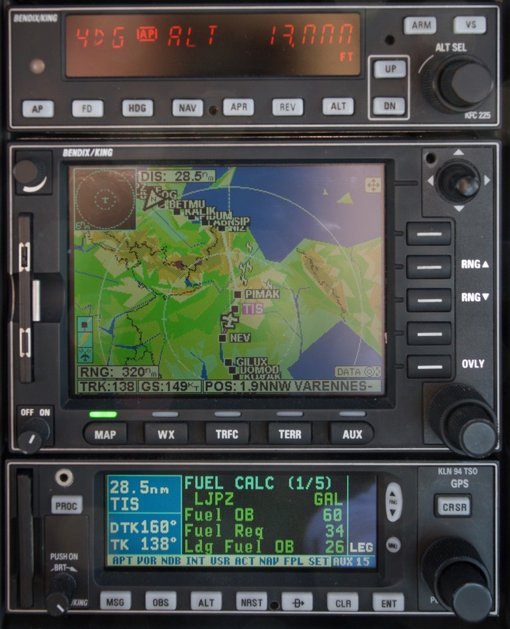
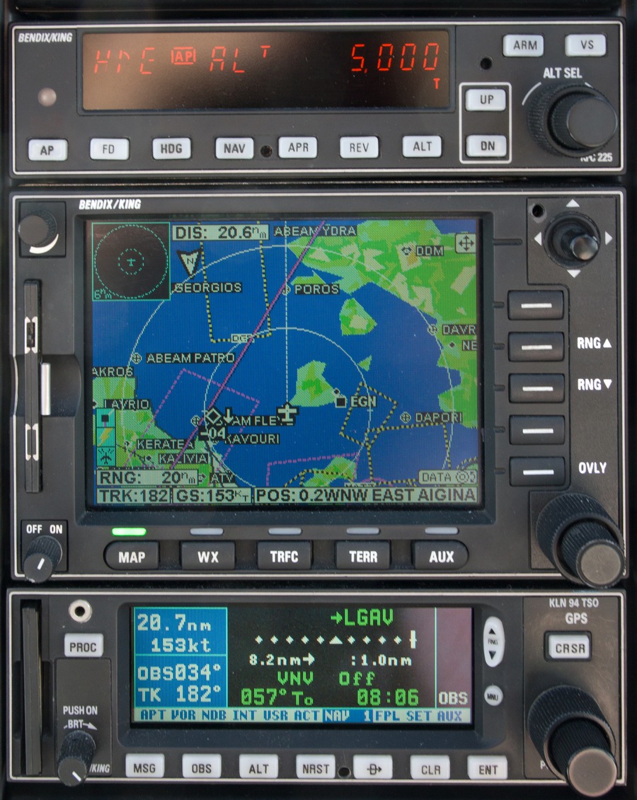
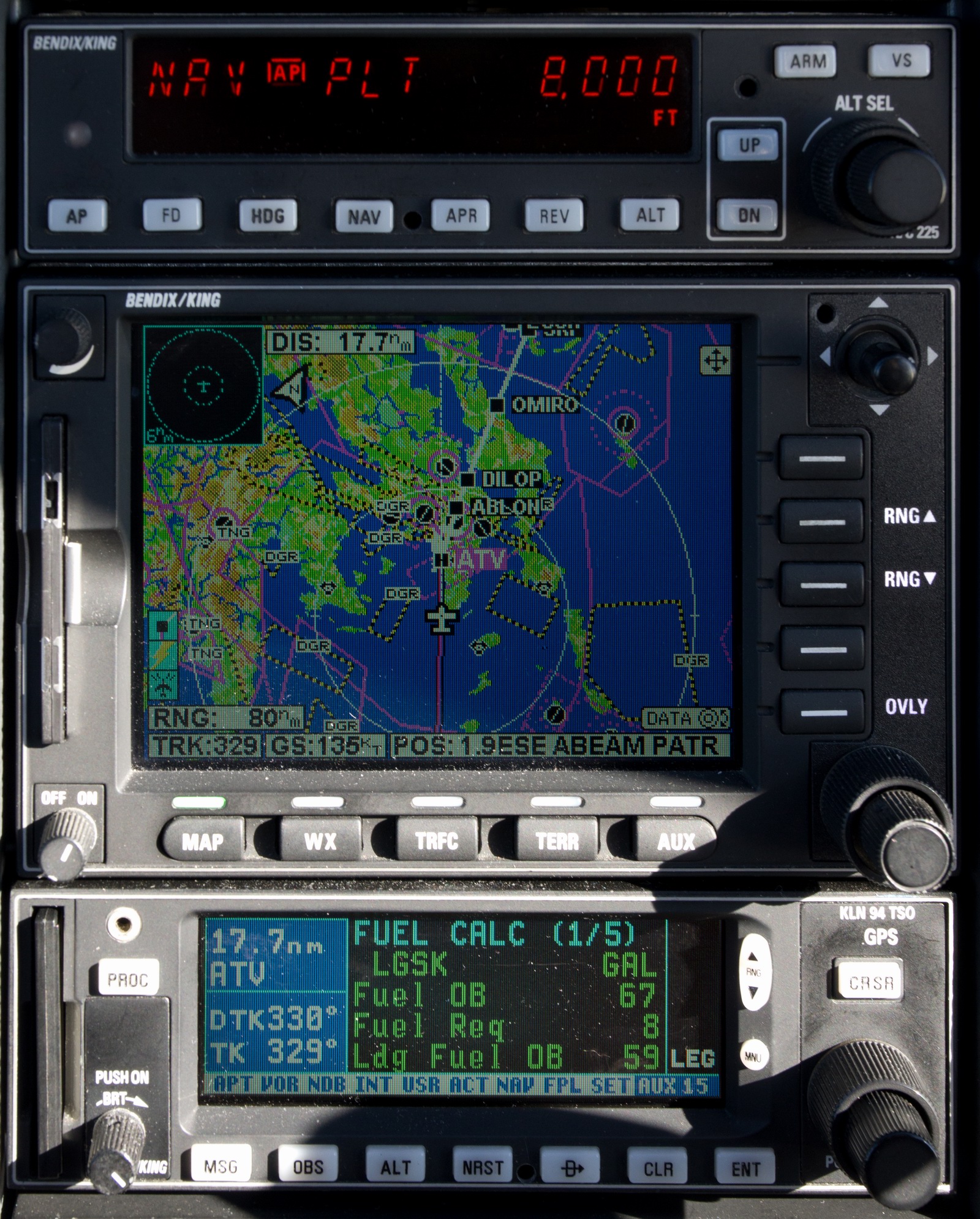
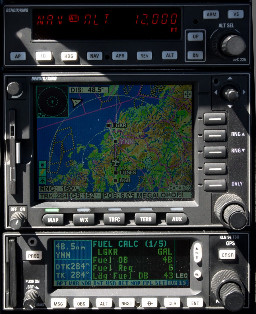
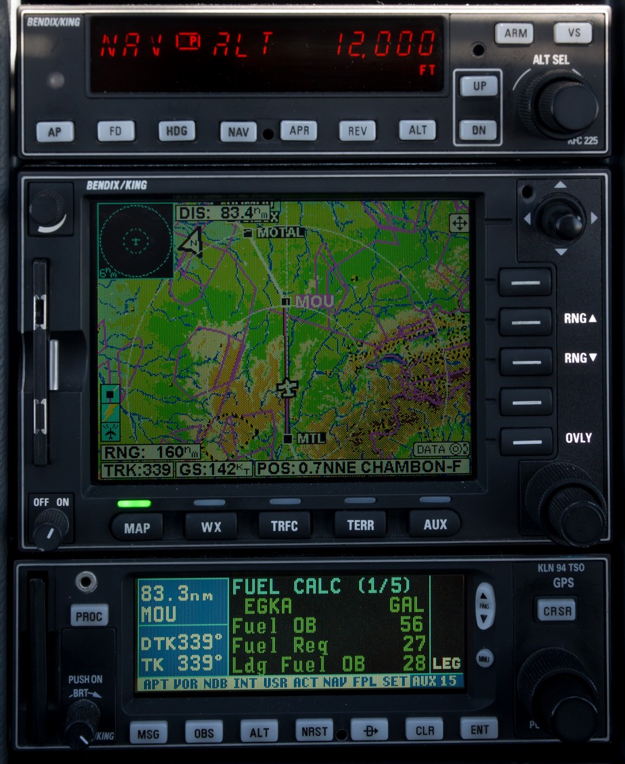
At FL080, cruise level, approaching Athens, the LFOB for Skiathos was showing 59 USG which would be plenty to reach Corfu from Skiathos
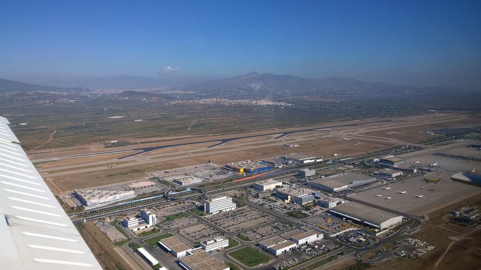
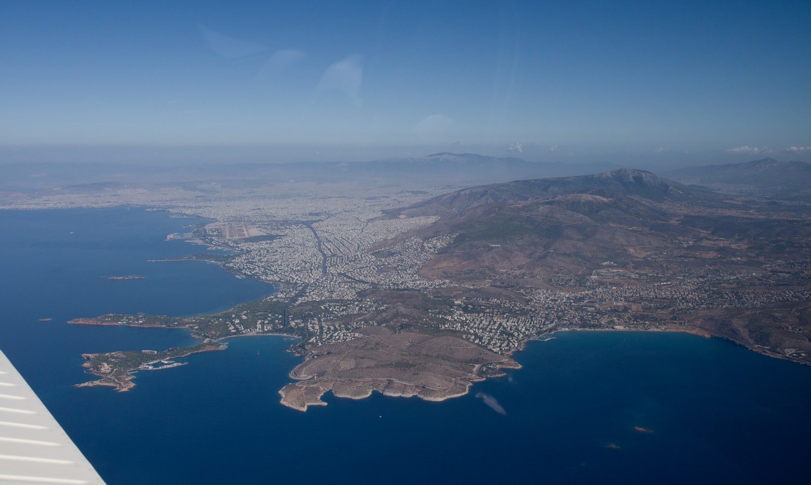
Athens
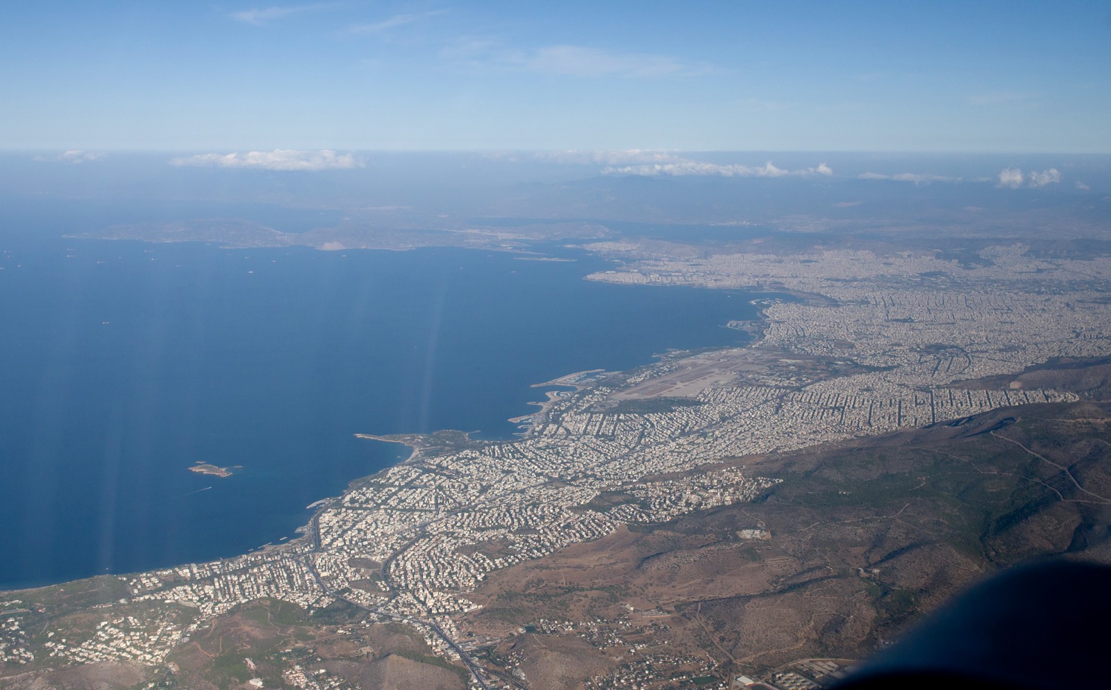
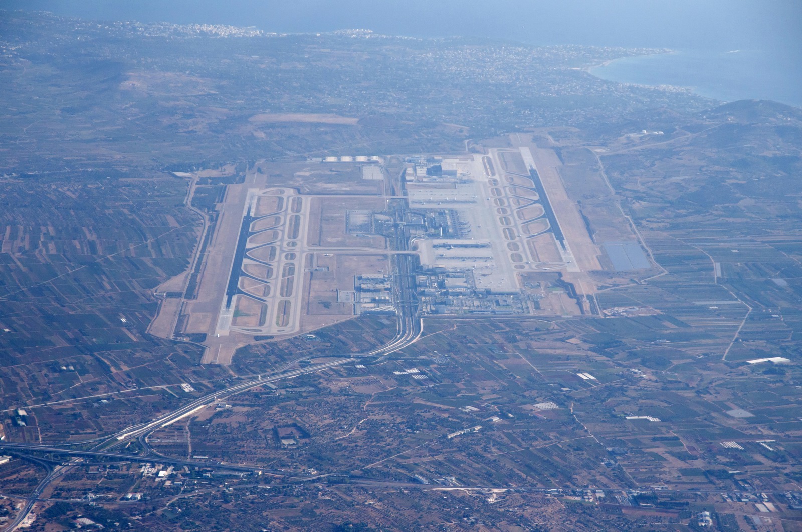
Athens LGAV airport
The old disused Athens Ellinikon LGAT airport which will be demolished hopefully to build parks and stuff. The Greek ACC (Athens radar, Makedonia radar and Athens APP) are located there, as well as HCAA HQ
Over Athens, we had a total loss of all GPS - the KLN94 and the bluetooth GPS lost all signal. Both have separate rooftop antennae. The Garmin 496 which has it's antenna on the top of the instrument panel also lost all signal. Obviously this was jamming. It lasted a few minutes. I reported it to Athens but the ATCO didn't understand me...
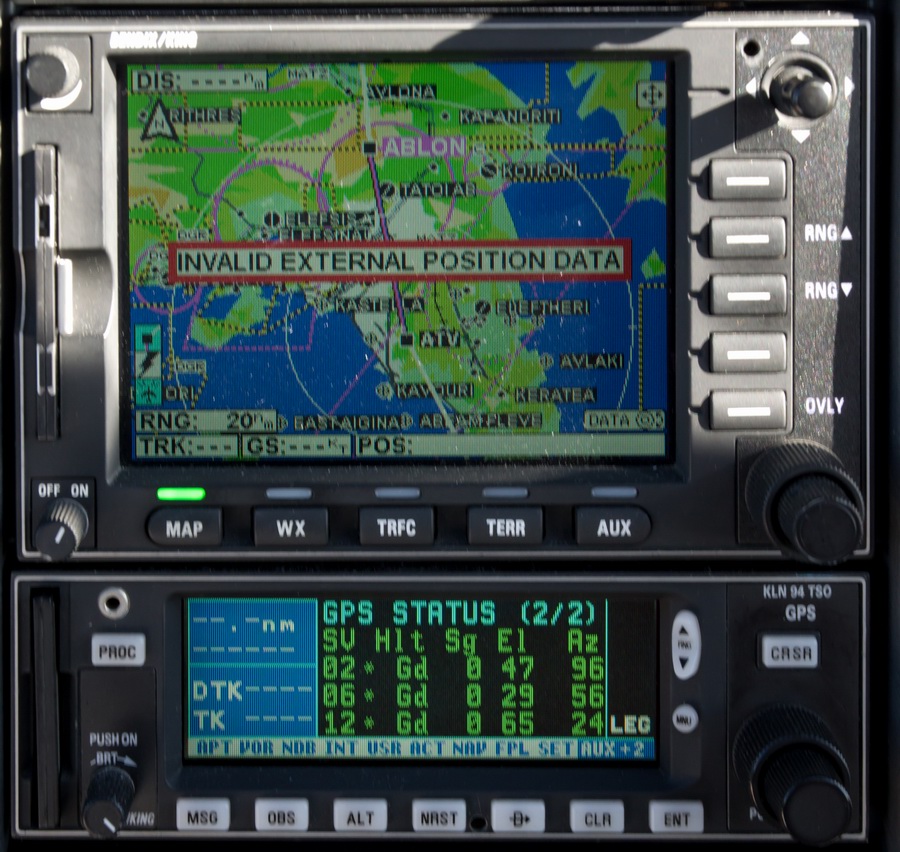
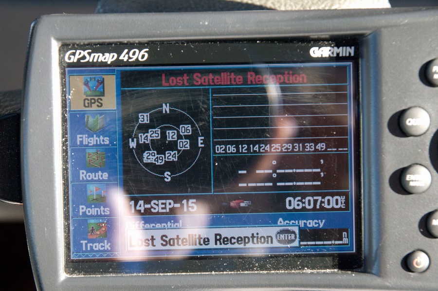
Another pilot reported exactly the same thing in July 2015.
Tanagra Air Force Base, home of the Greek Mirage M2000s:
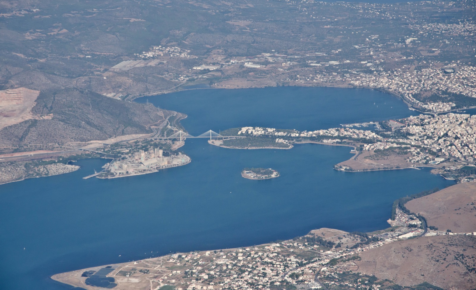
Chalkida, a city on Evoia island, with a nice bridge that opens and closes
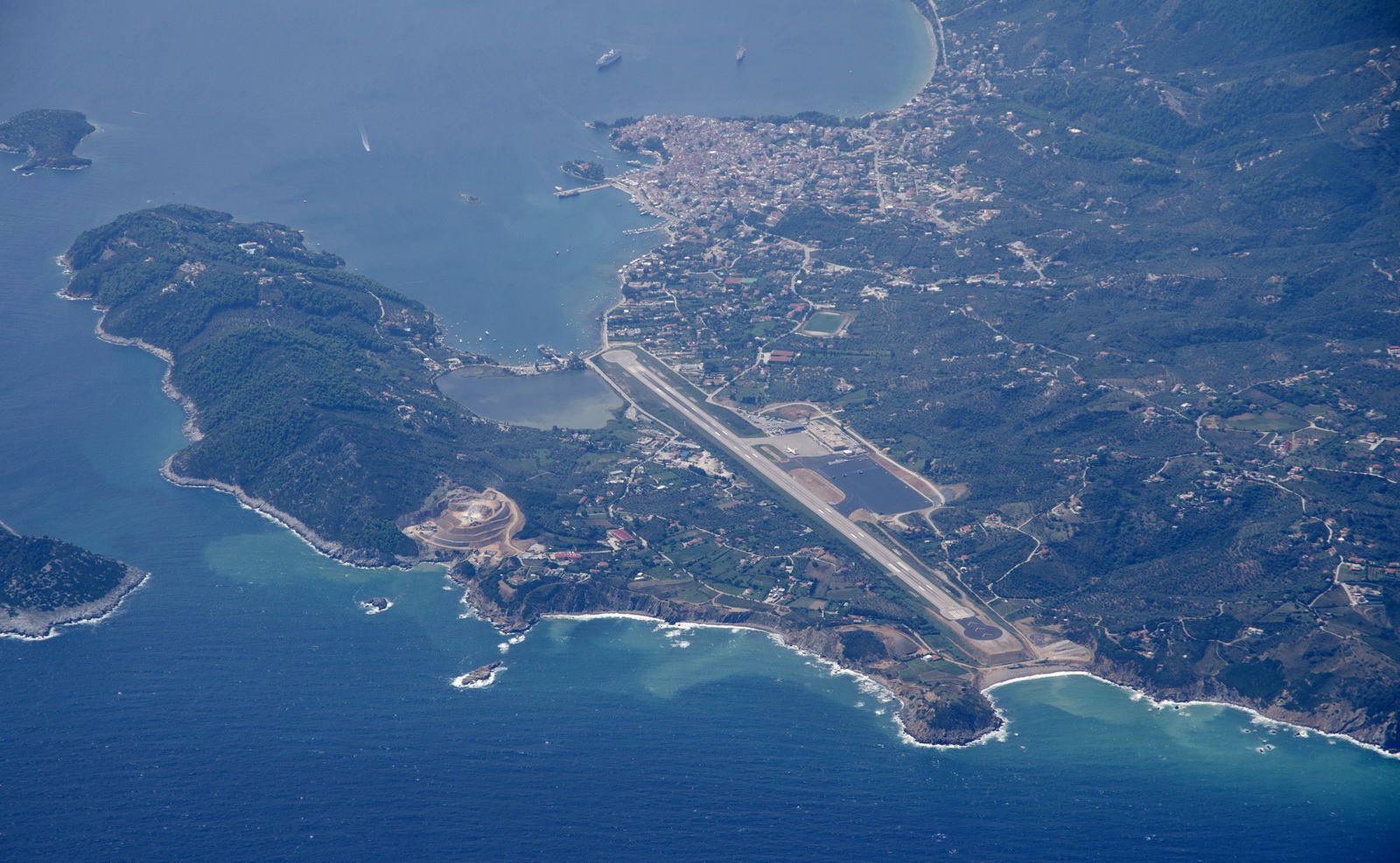
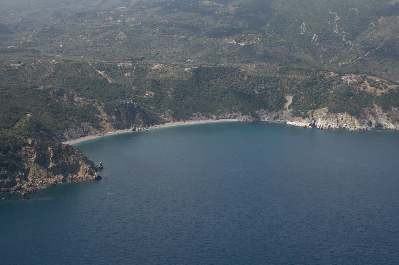
A visual approach into Skiathos LGSK runway 02. We arrived after a CTLS from Turkey
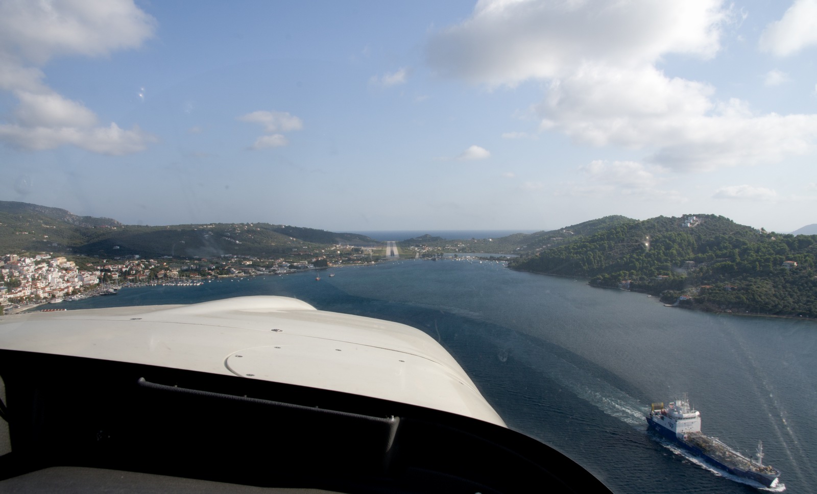
Spot the plane spotters ![]()
This was what they got, and it was great to see these pics
A 737-sized plane landed behind us; the 3rd arrival. I was asked for max speed.
On the ground at Skiathos. There is no avgas here, but I landed with enough to get to anywhere of relevance
There was a number of other GA visitors. This is about all the GA parking currently available. Normally it’s not an issue but in this case some non-Greek pilots used Skiathos to clear Customs after the Tatoi air show. Greece is in Schengen but doesn't operate it (the reason is that it is unable to keep its extensive border secure) so one has to use a Port of Entry to enter or exit Greece
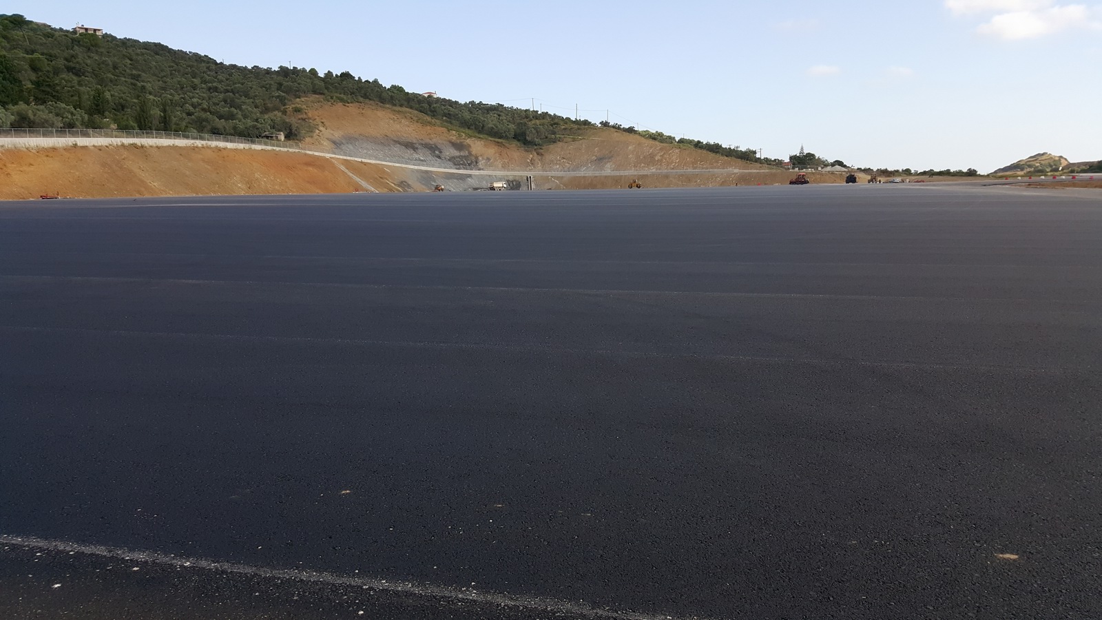
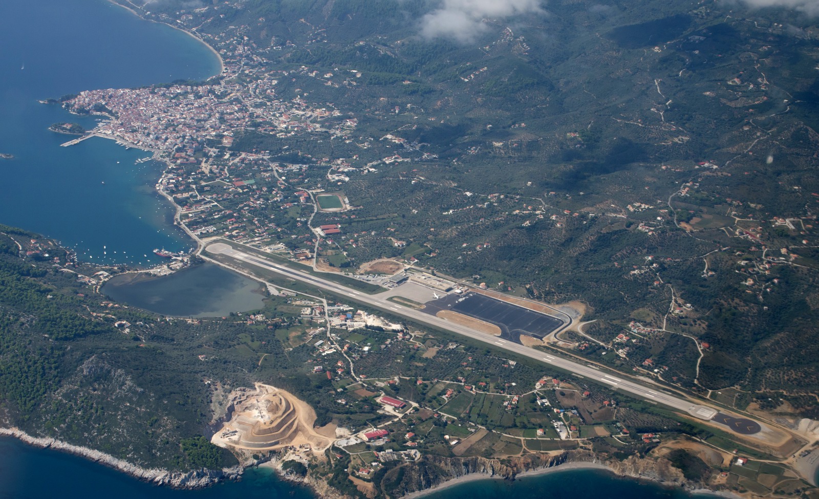
This is a new apron they had just finished, which will improve the GA parking situation considerably
This is the track actually flown (in black)
Having landed at Skiathos, I had 59.4 USG in the tanks so a fuel stop had to be done before Corsica (or anywhere else useful – the relevant bit of Italy has no avgas apart from some "unofficial possibilities"). Bastia (Corsica) in zero wind would have left me with 6 USG which is obviously silly. So Corfu was the next stop. Recent experience there was that they are quite efficient. I contacted them regarding their 48hr PPR for both of two possible arrival dates, and the plan was then to sit in Bastia until the weather was OK for the final leg to the UK.
It is really unfortunate that Skiathos doesn't have avgas. It would be a superb destination / entry point for Greece. There is nothing else in the area. Samos is the nearest one and that's a long way away.
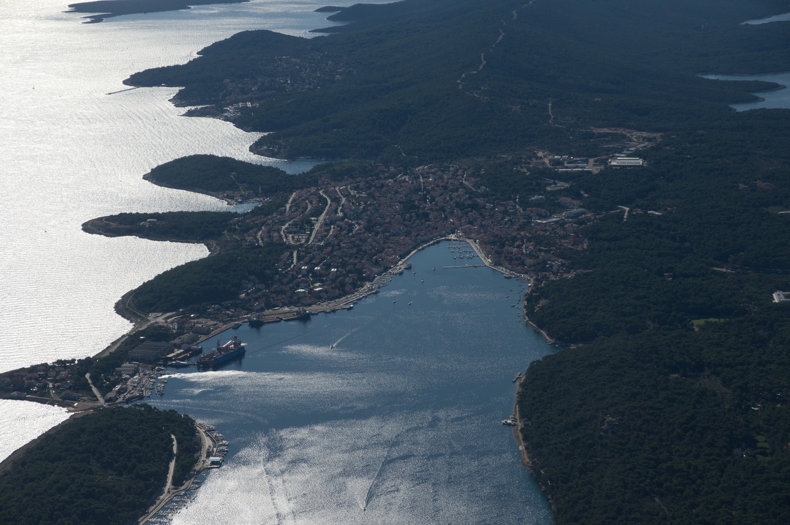
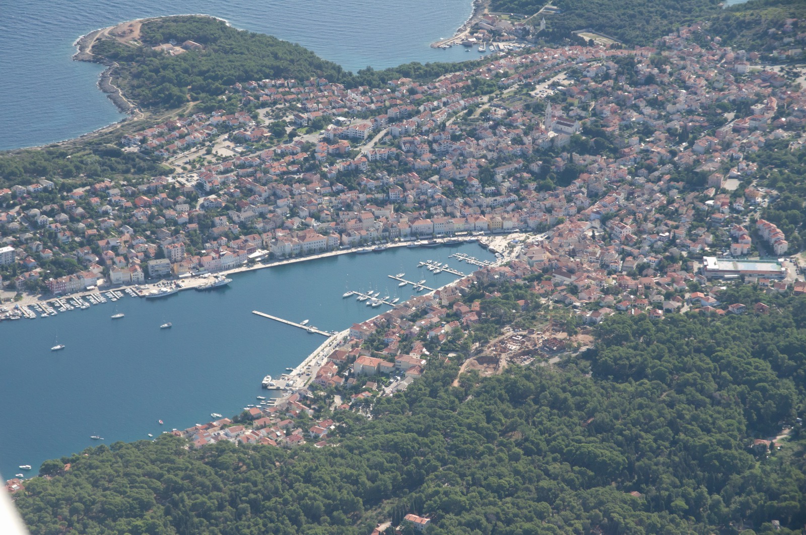
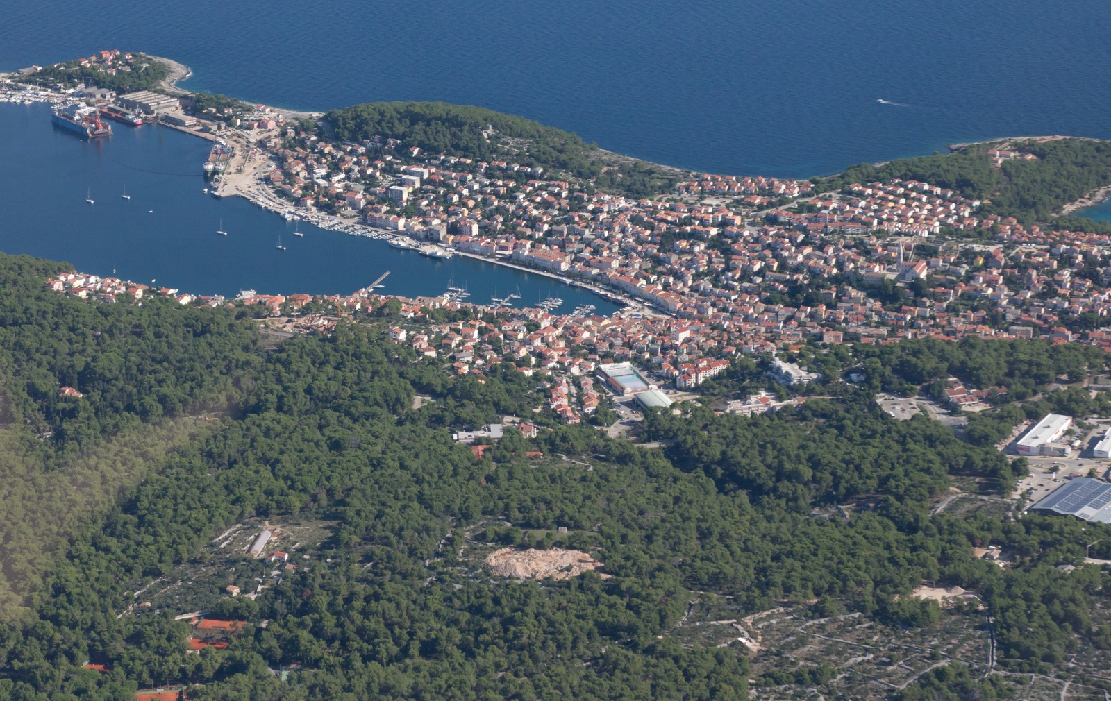
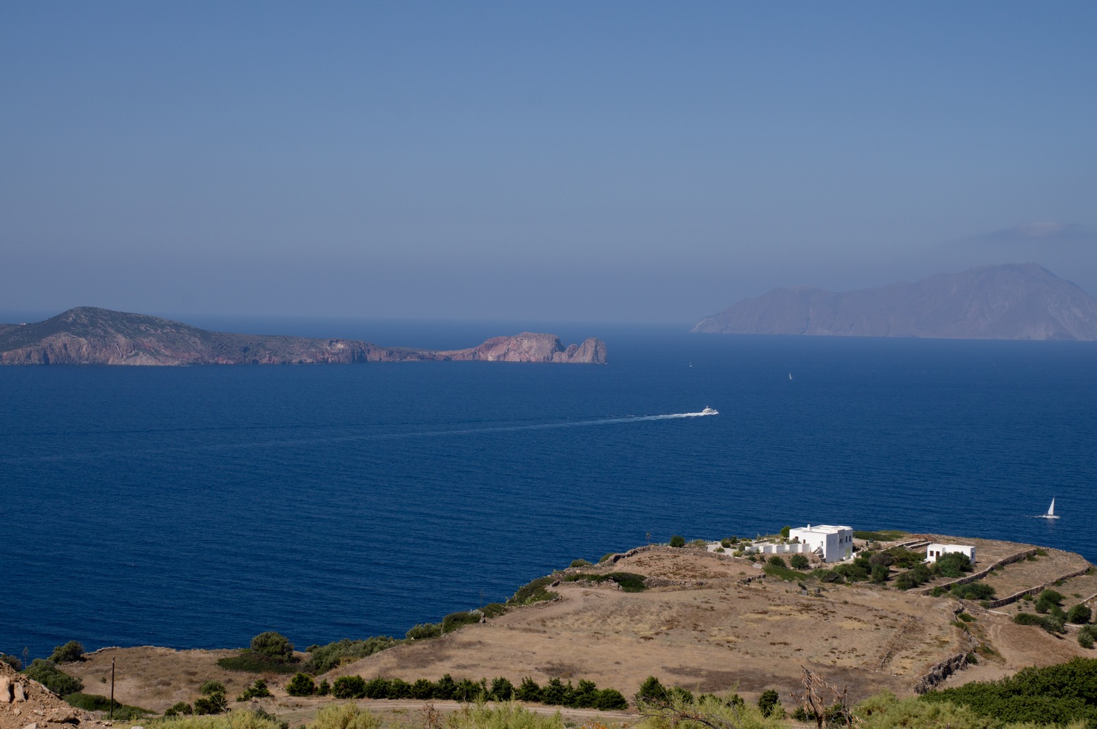
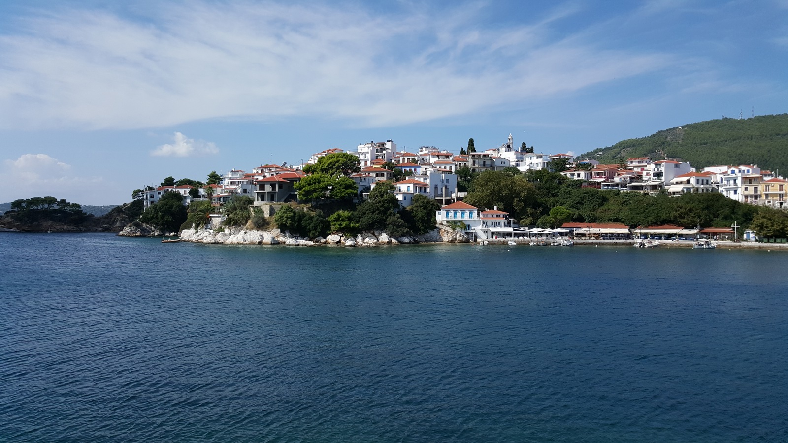
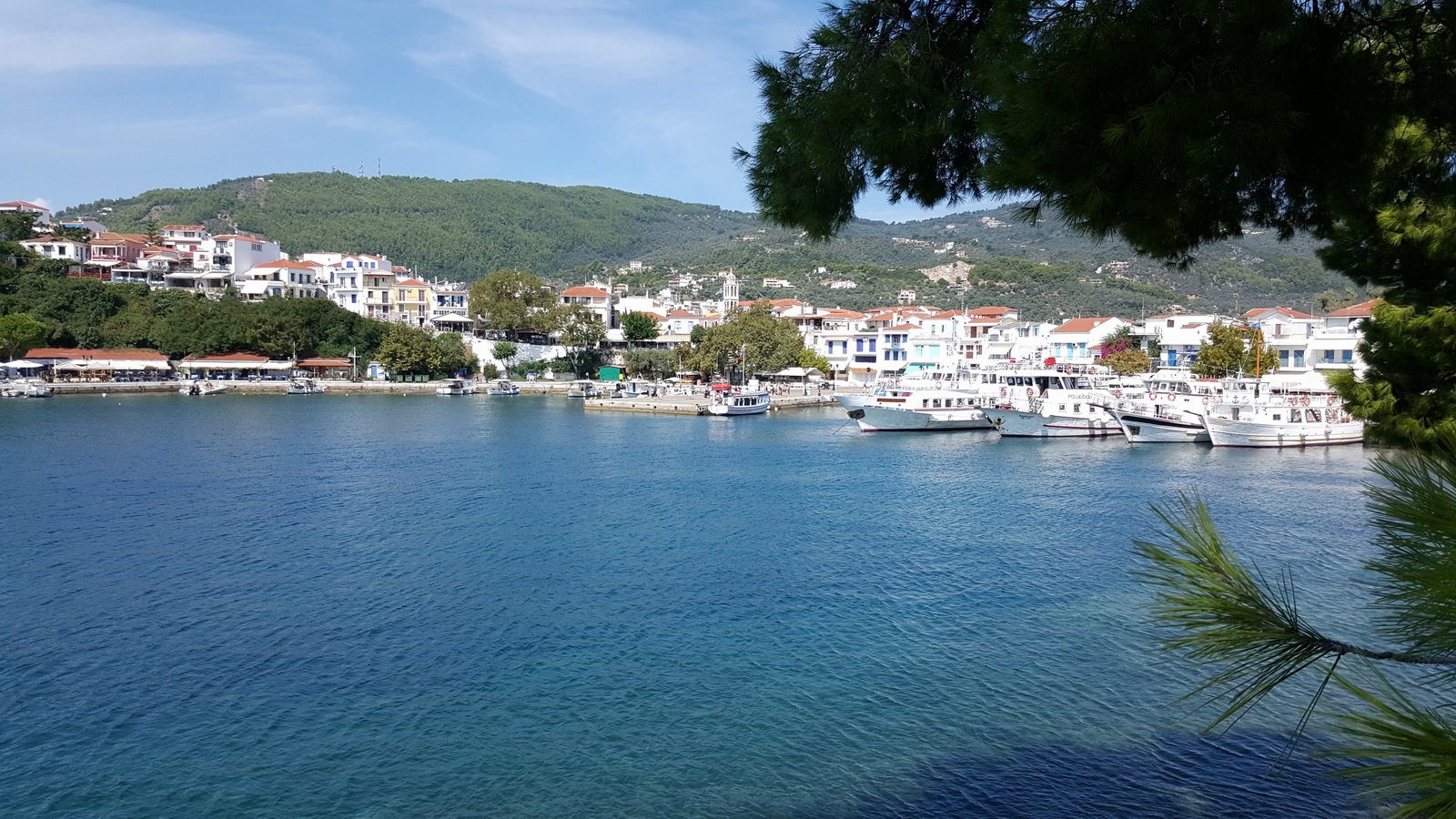
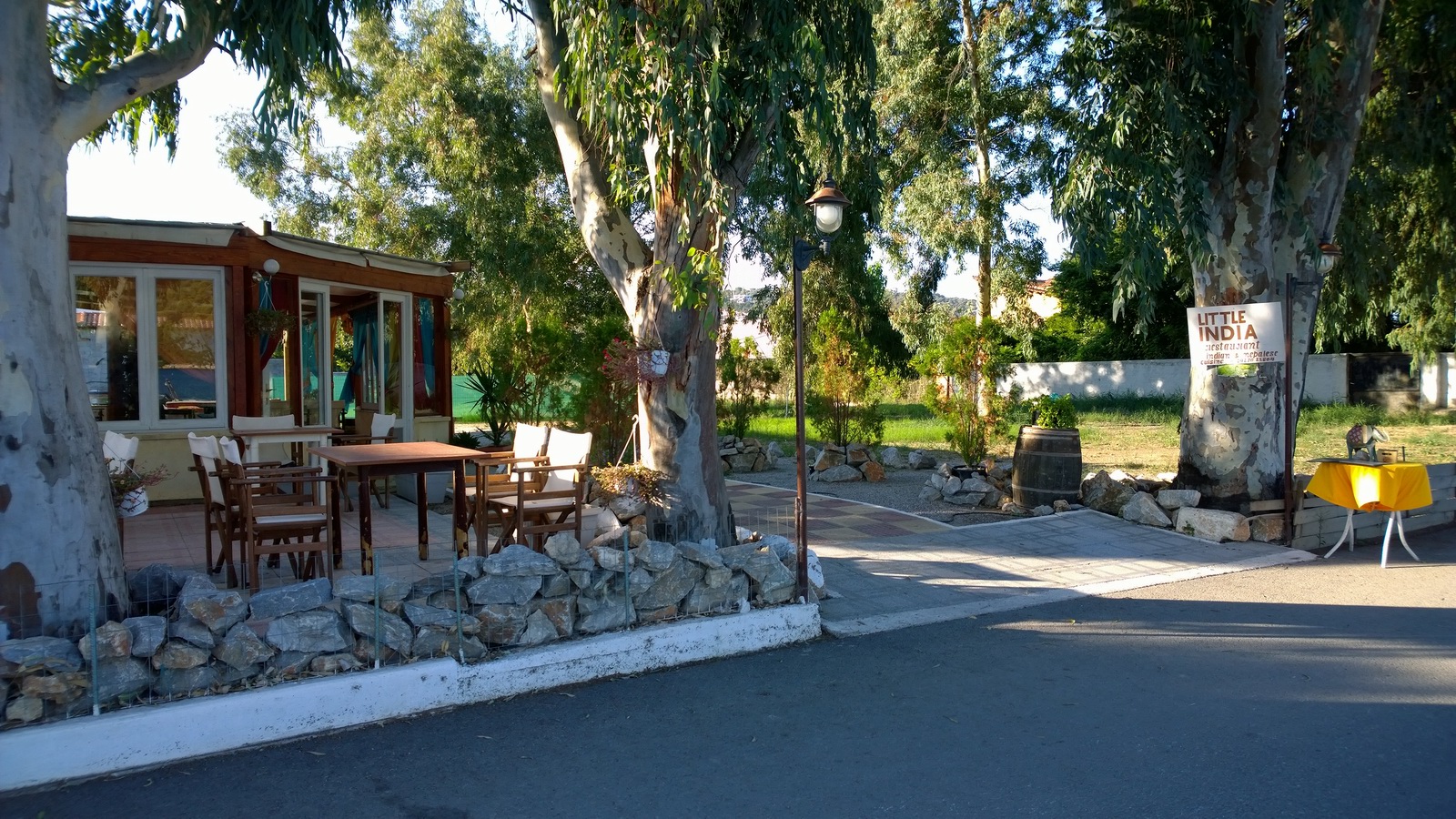
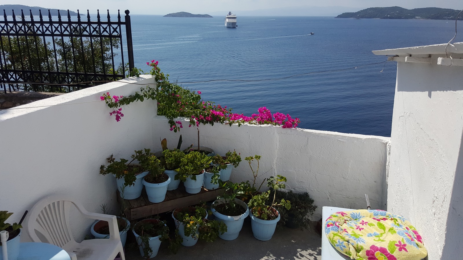
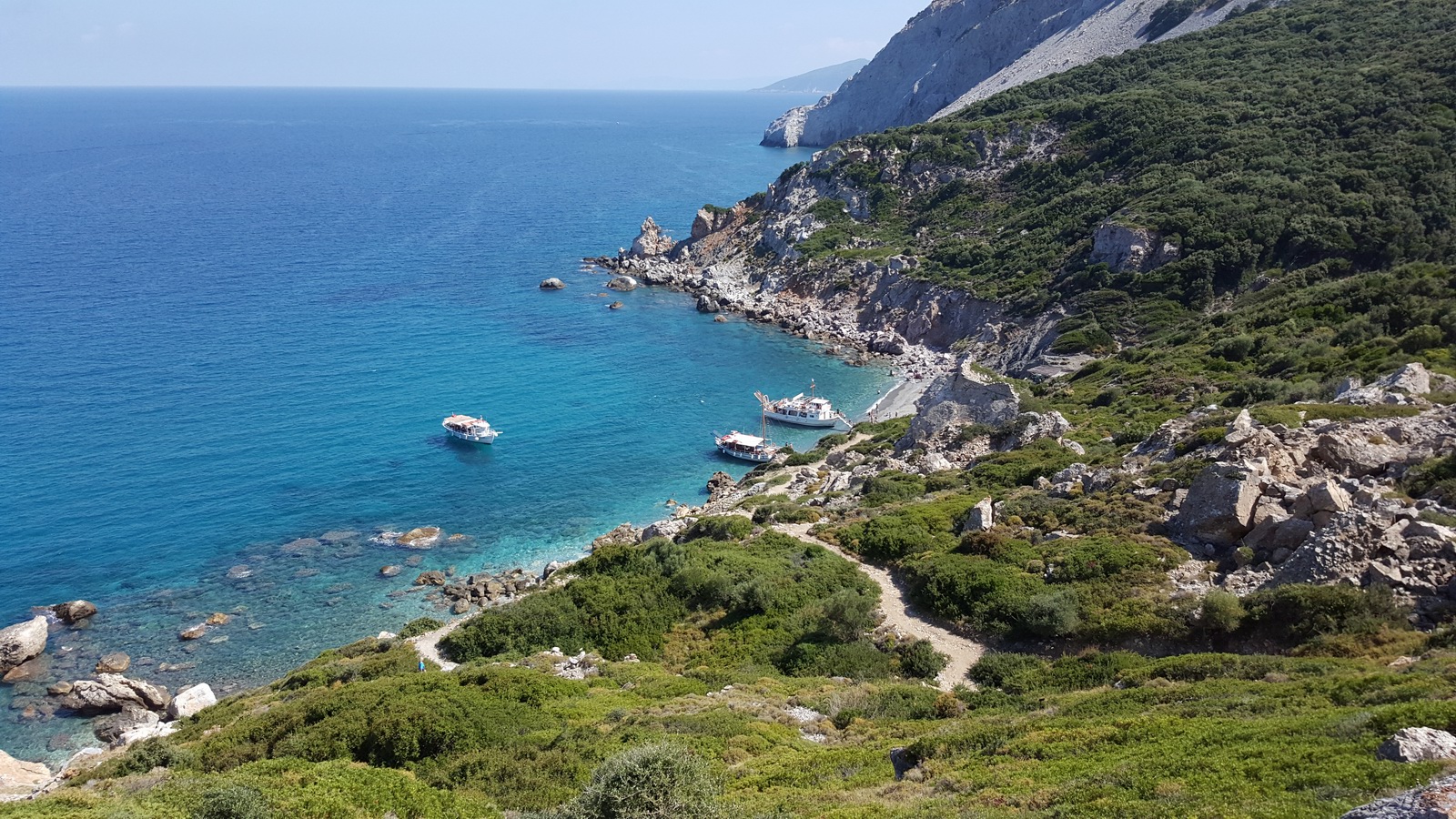
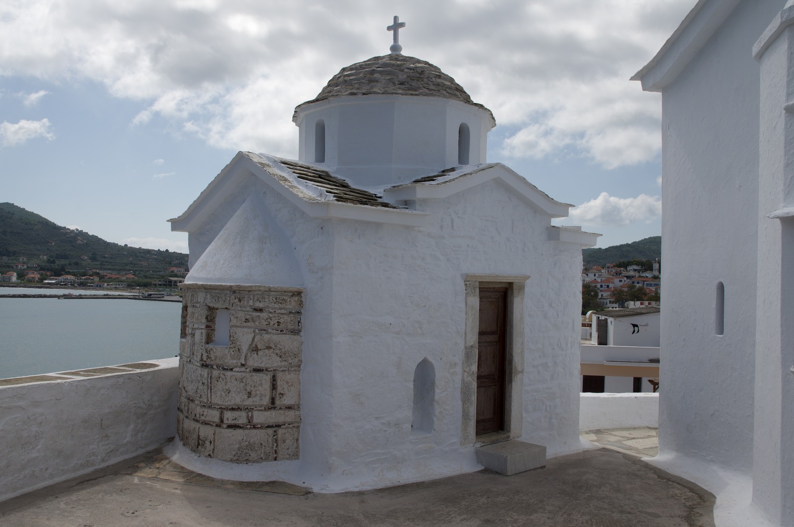
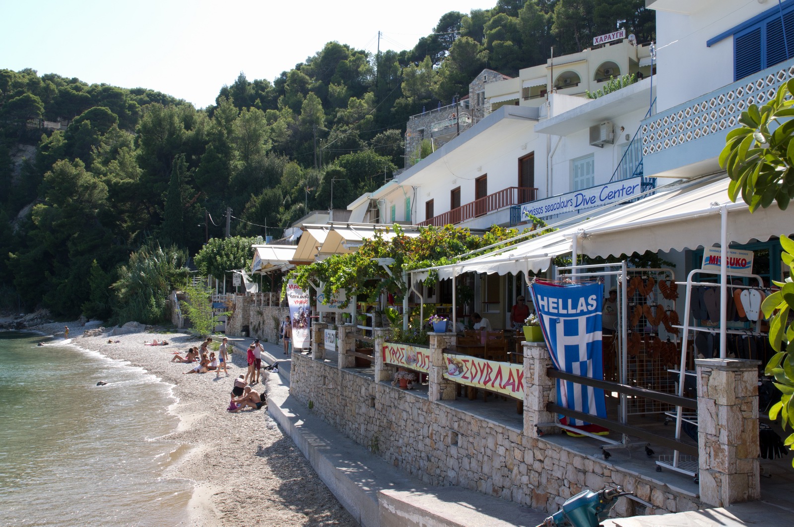
Skiathos is different from Milos. It has a lot more going on, has a lot more tourists, but it still just as scenic. There are also much better options for boat trips.
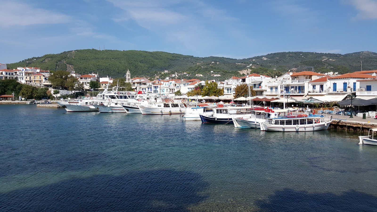
We stayed at a really nice place called Kallisti Apartments. It was like a classy apartment block but all new. I would highly recommend it.
These are believed to be quinces

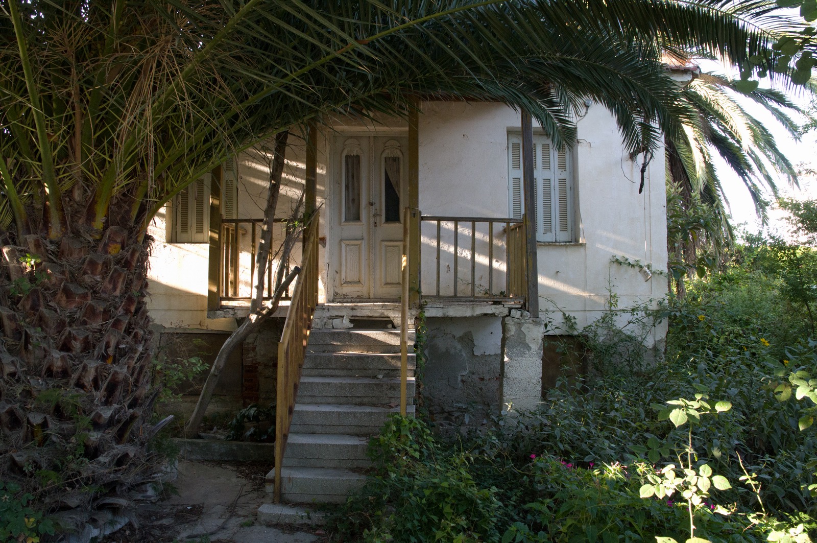
One of many houses which have not been visited for many years...
This place was very popular ![]()
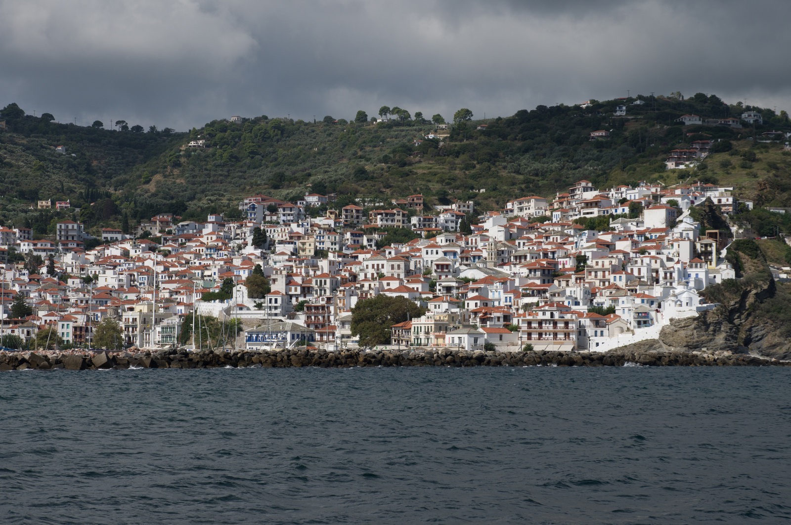
With our great friend and guide Mimis, who spent a lot of his time looking after us and showing us around, we went up to the castle
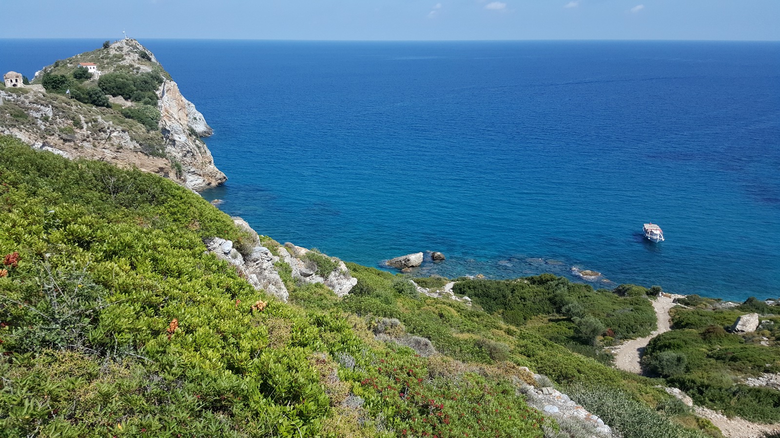
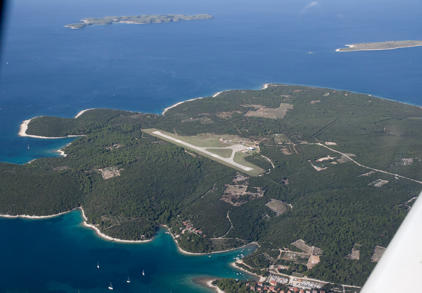
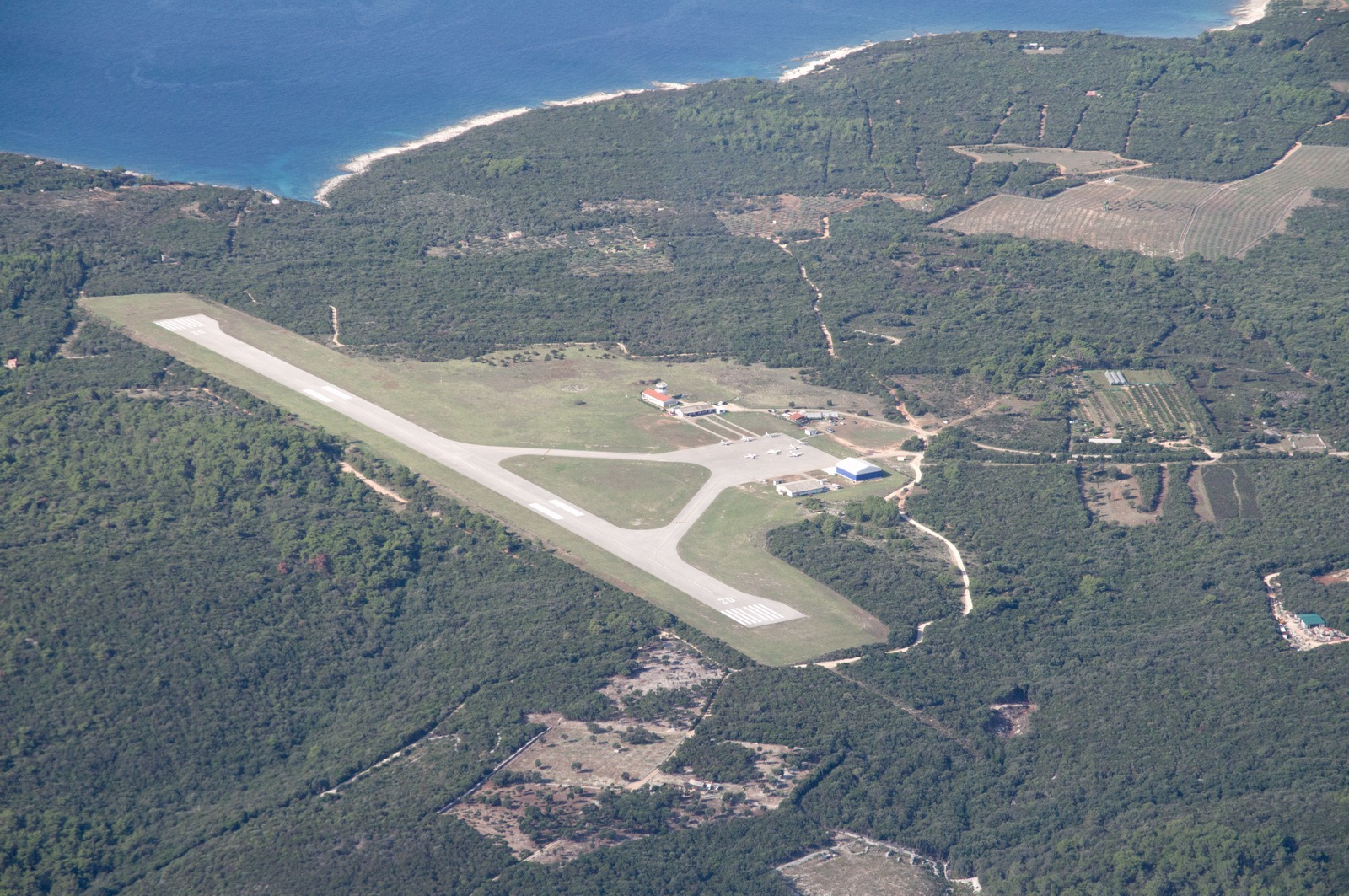
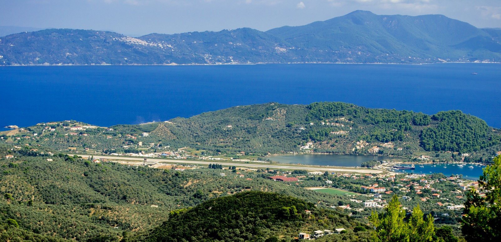
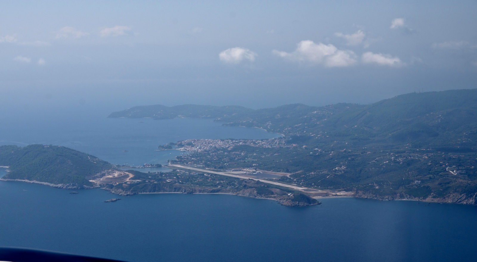
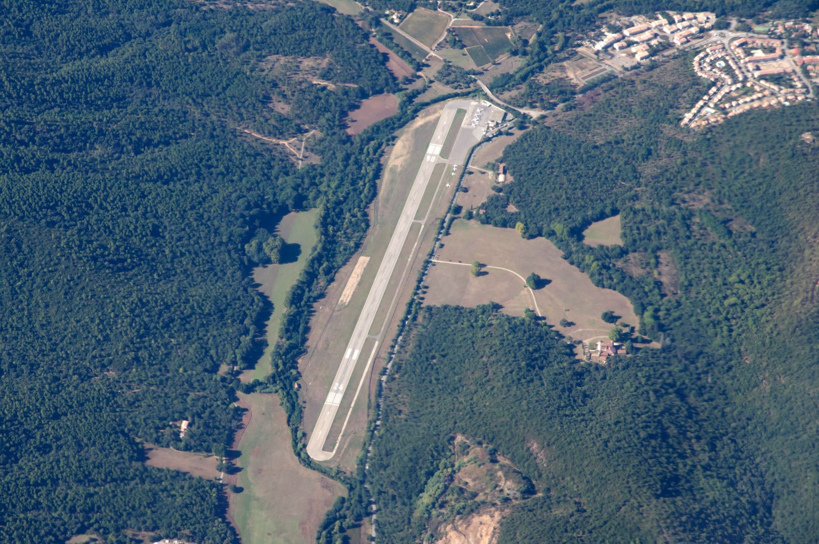
The airport
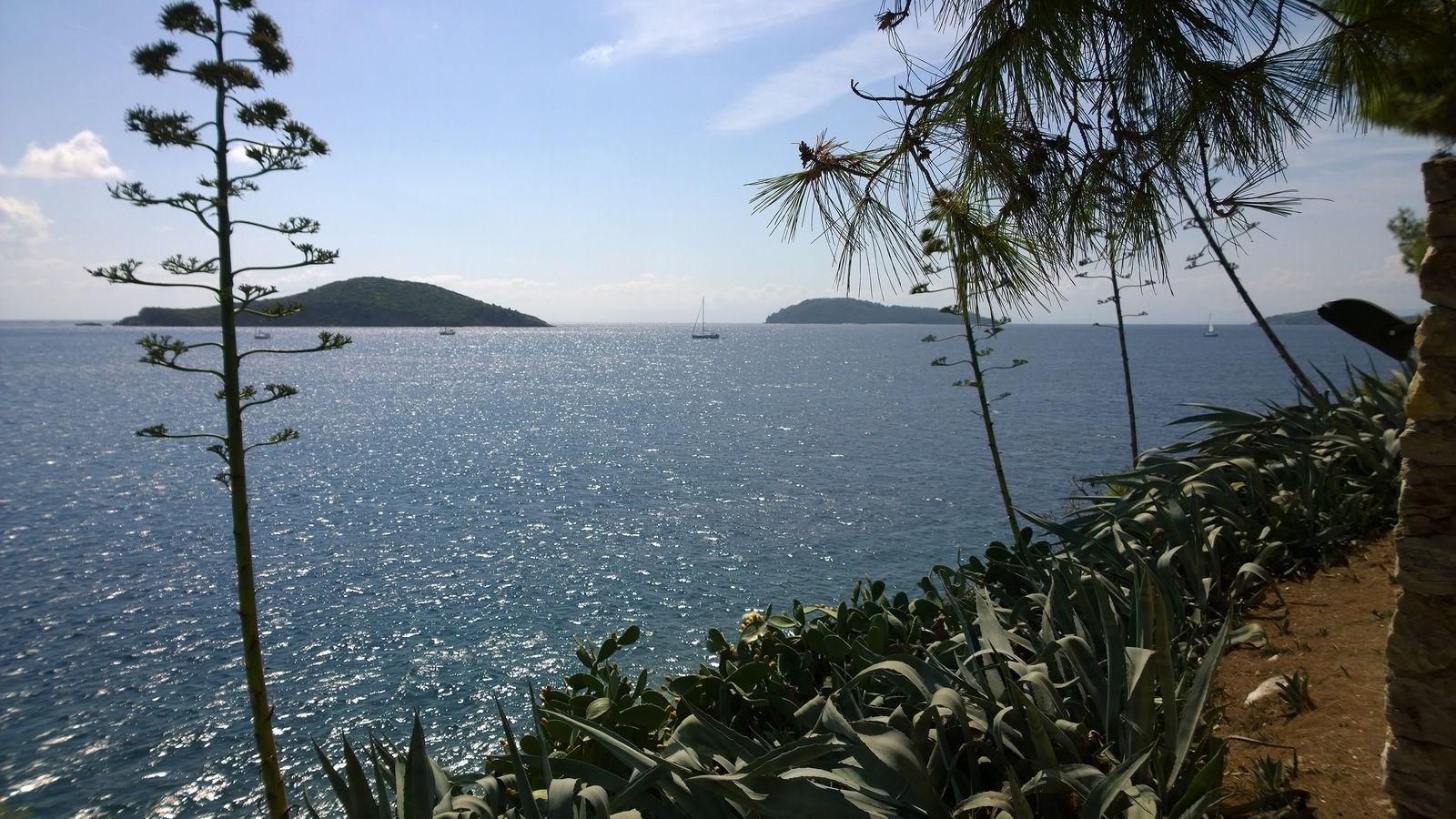
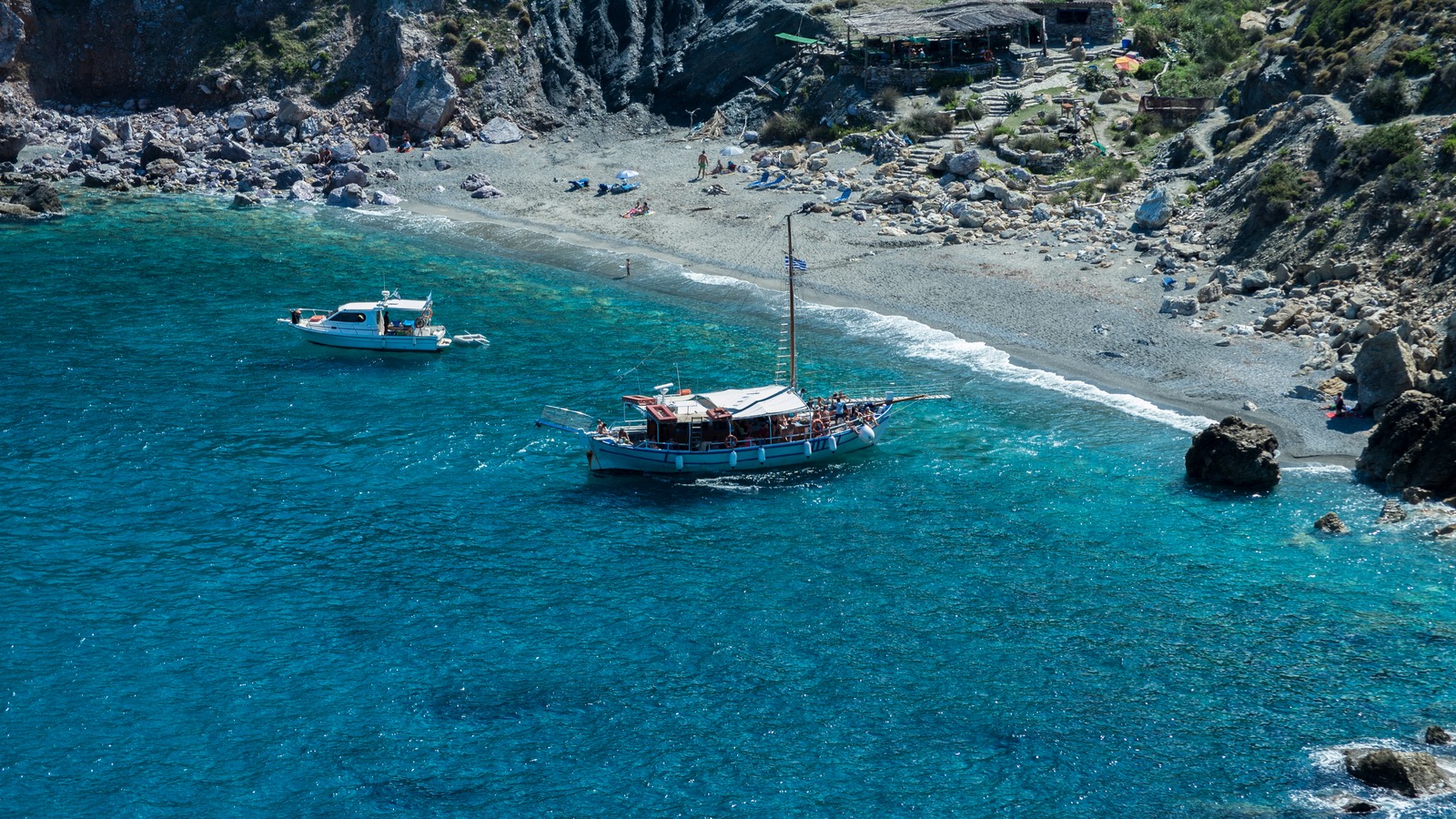
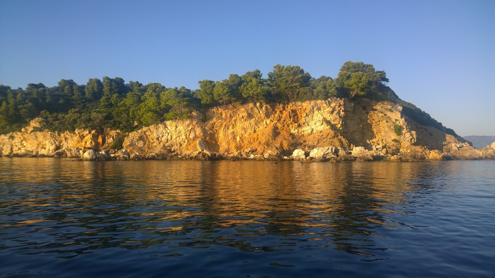
There are many boat trip options
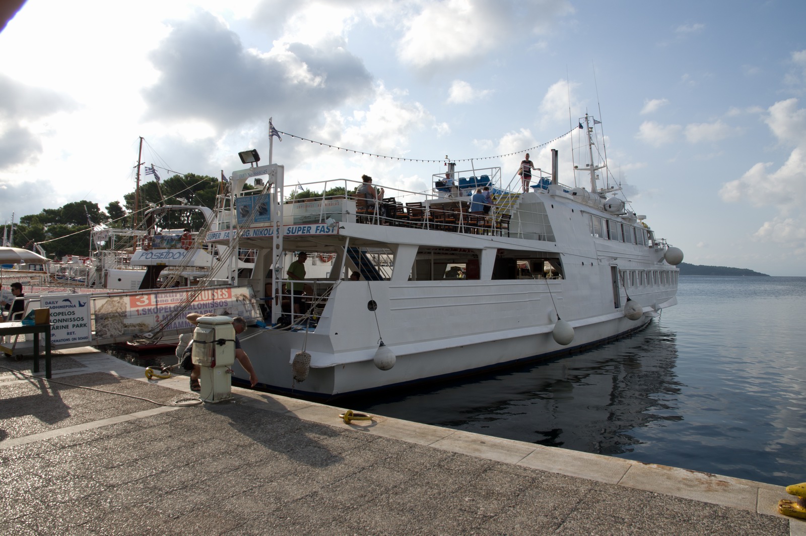
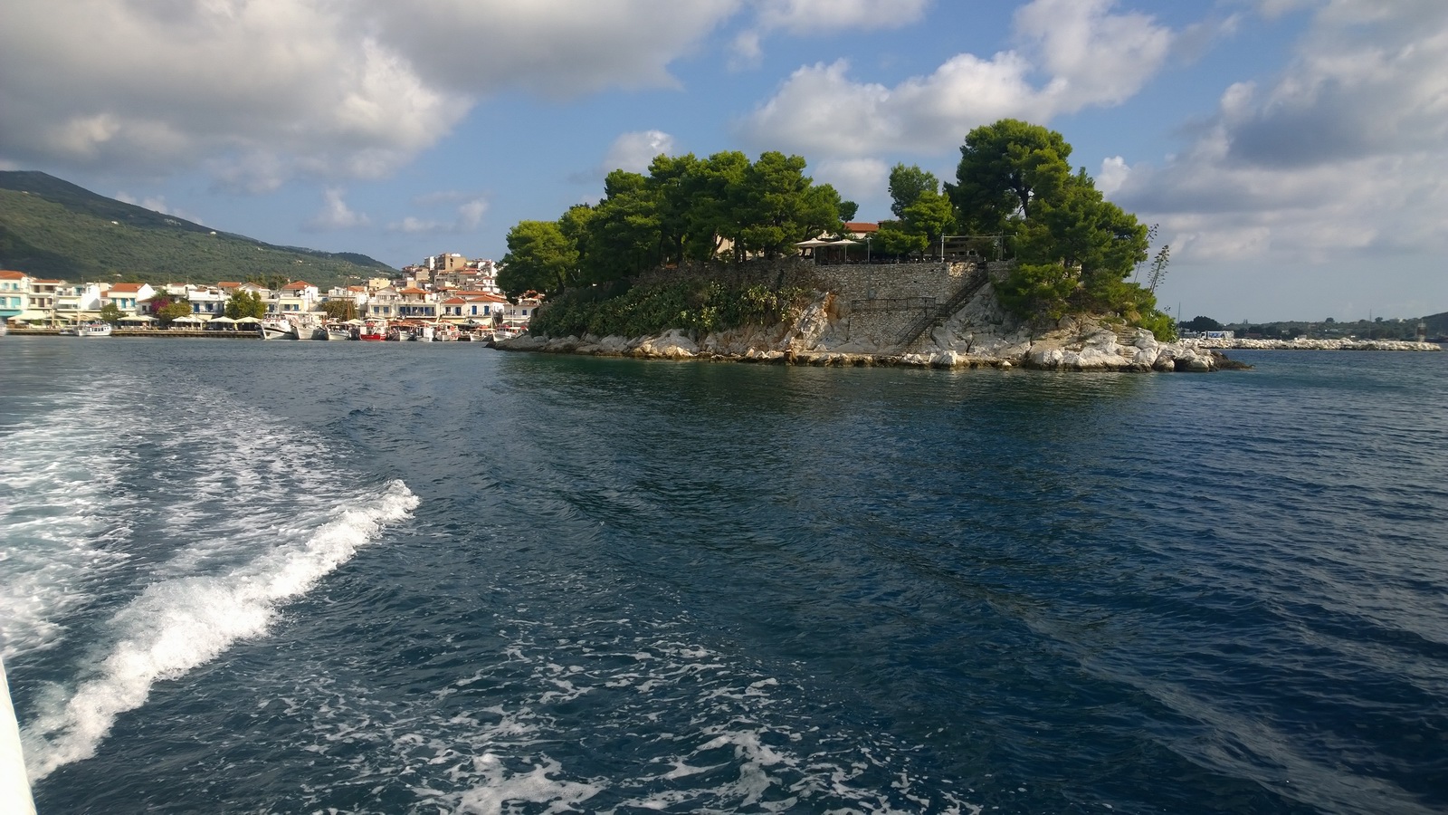
This "island" (it isn't an island actually) has a super restaurant on it, with great views

A lovely beach on Skopelos - a nearby island reached on a boat trip
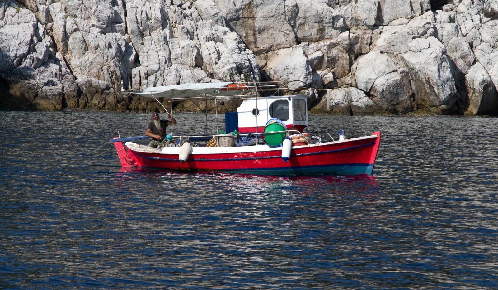
A fisherman with an impressive beard. With the current UK fashion for hipster
beards he would definitely lead from the front ![]()
Greece is full of the most beautiful colours...
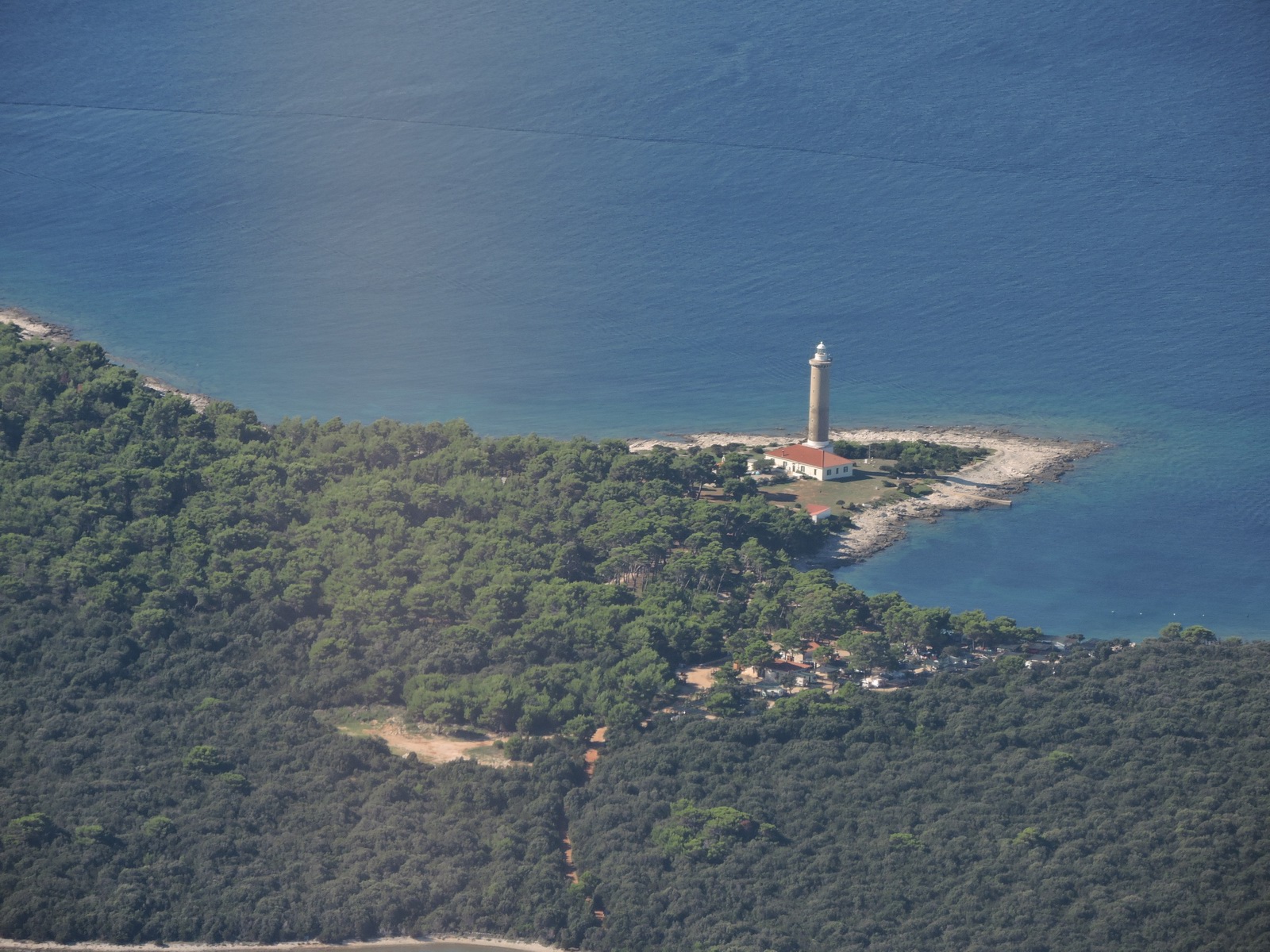
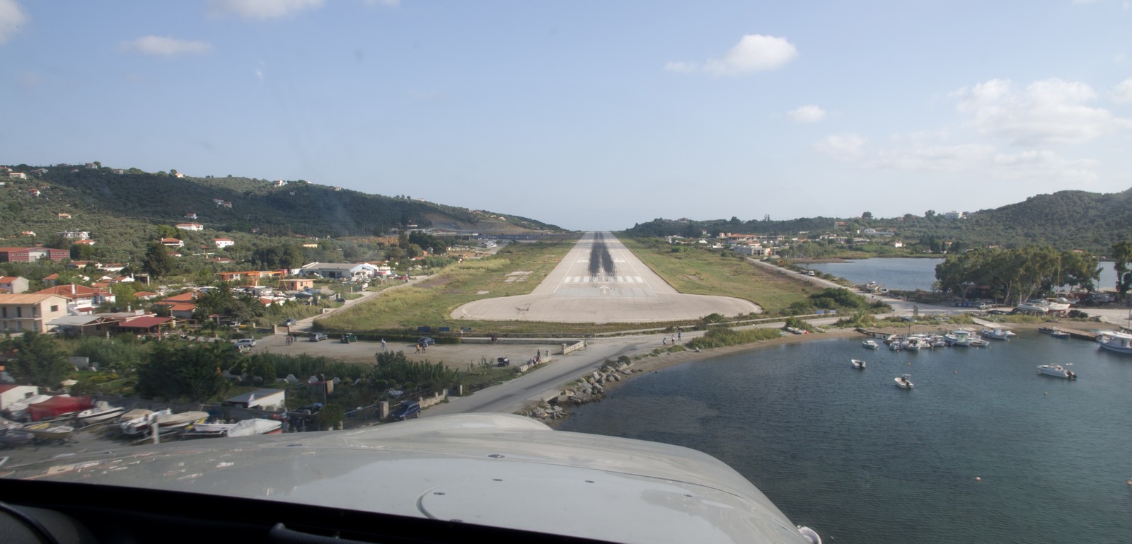
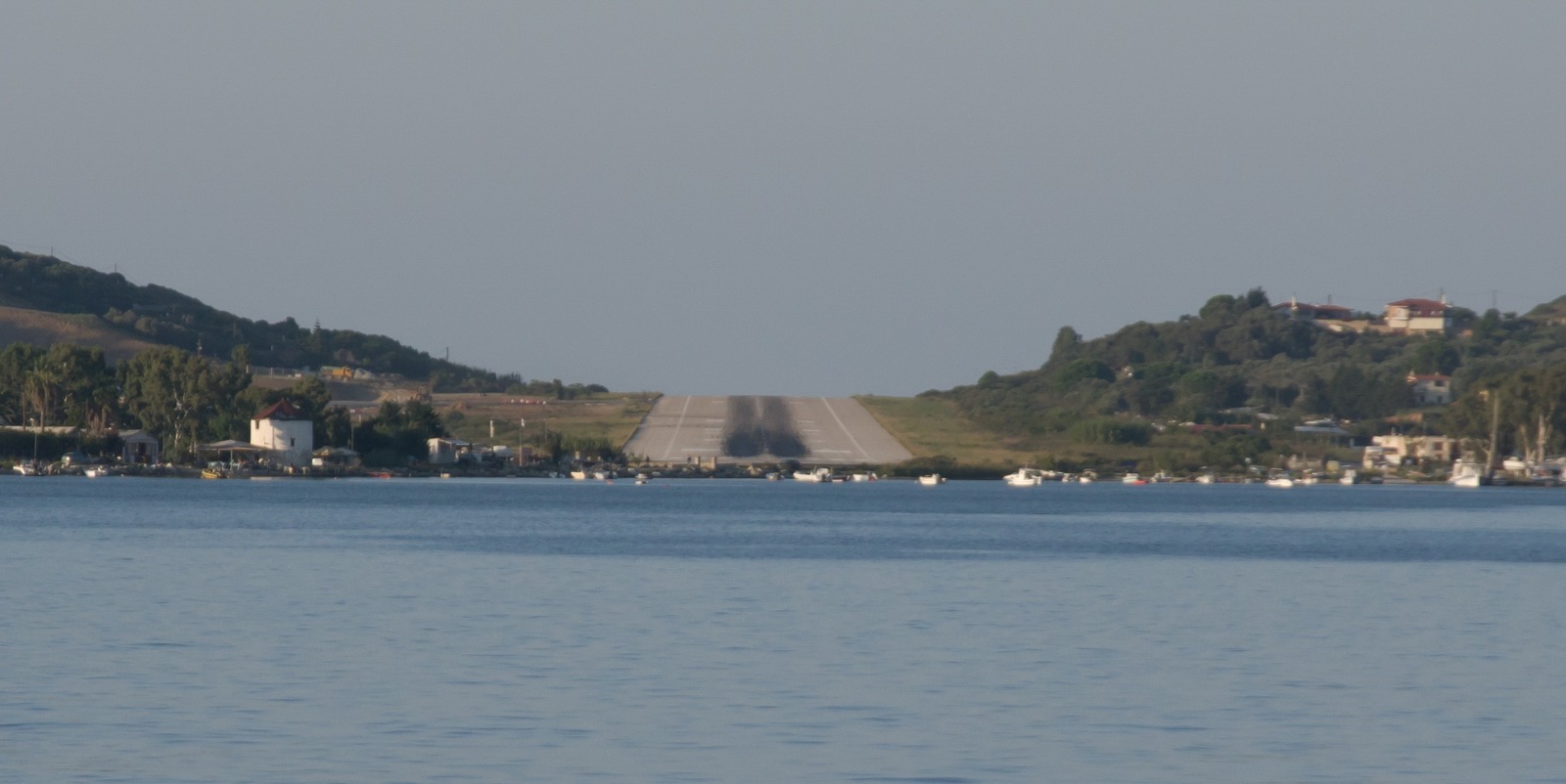
The runway, viewed from the boat at sea level where you can see its uphill inclination towards north
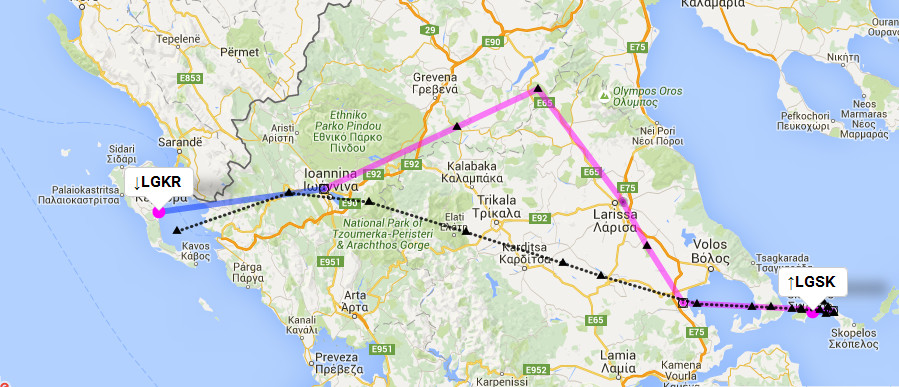
Skiathos, Greece to Bastia, Corsica (France), via a refuel at Corfu, Greece
The weather looked OK for the flight to Corsica provided I did not stop overnight
at Corfu. Then a lot of bad weather was coming in over Corsica during the night
I would be spending there, but I would be well placed for the last leg (Corsica-Shoreham)
the following day or later because sitting on Corsica is not such a bad situation
![]() and a flight home having
just a single leg is not likely to be delayed by more than 2-3 days.
and a flight home having
just a single leg is not likely to be delayed by more than 2-3 days.
Flight to Corsica:MSLP 0600
1200 1800
IR sferics
DWD-icing tafs/metars
FL100
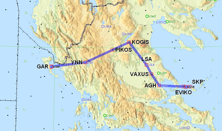
LGSK N0152F100 DILOP1B SKP W58 VAXUS/N0150F120 W58 KOGIS G12 PIKOS M600 YNN
YNN1A LGKR
169nm (GC) 212nm (IFR)
Alternate: Dubrovnik LDDU
FL110
LGKR TIGRA2F TIGRA L995 LUXIL M742 SOR/N0152F100 M603 PNZ M729 GILIO/N0151F090
M729 ELB L146 MOULE MOULE5N LFKB
503nm (GC) 543nm (IFR)
Alternate: Cannes LFMD
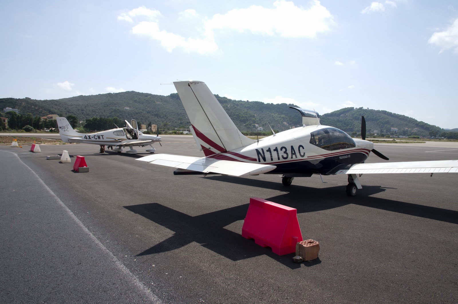
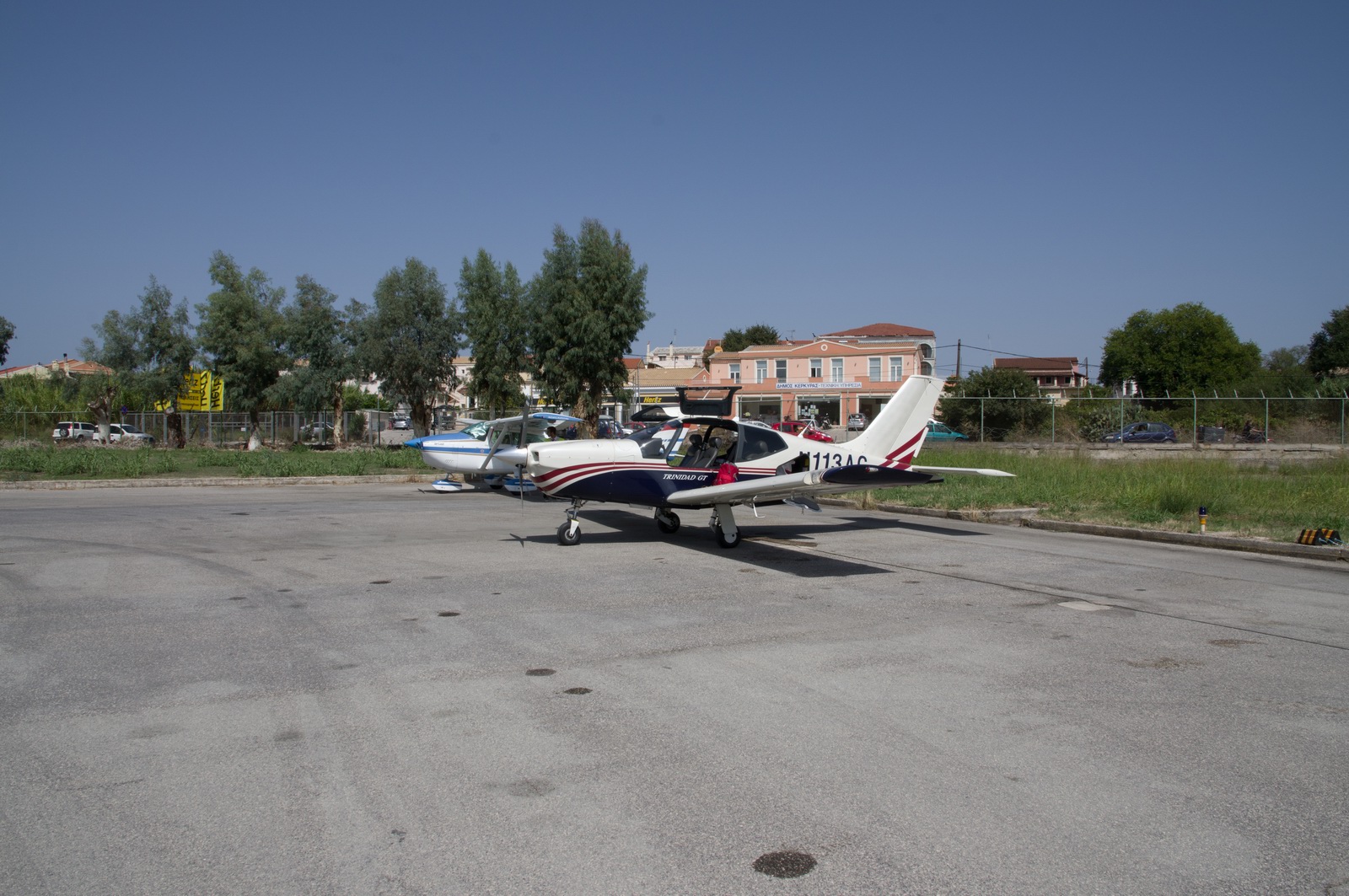
On the day of departure only the SR22 from Israel was still there
Taxiing out, for a backtrack
In the air
The last views of Skiathos
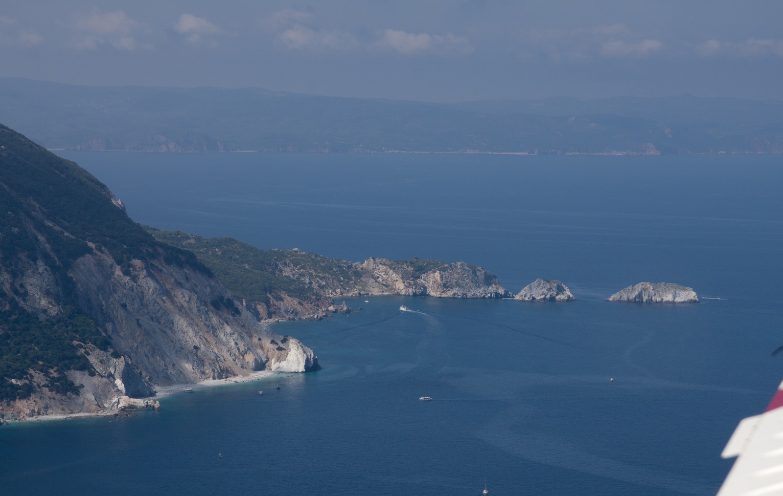
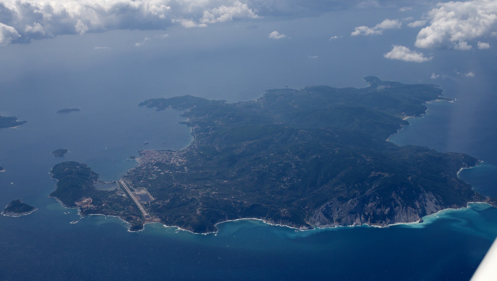
Skiathos LGSK airport
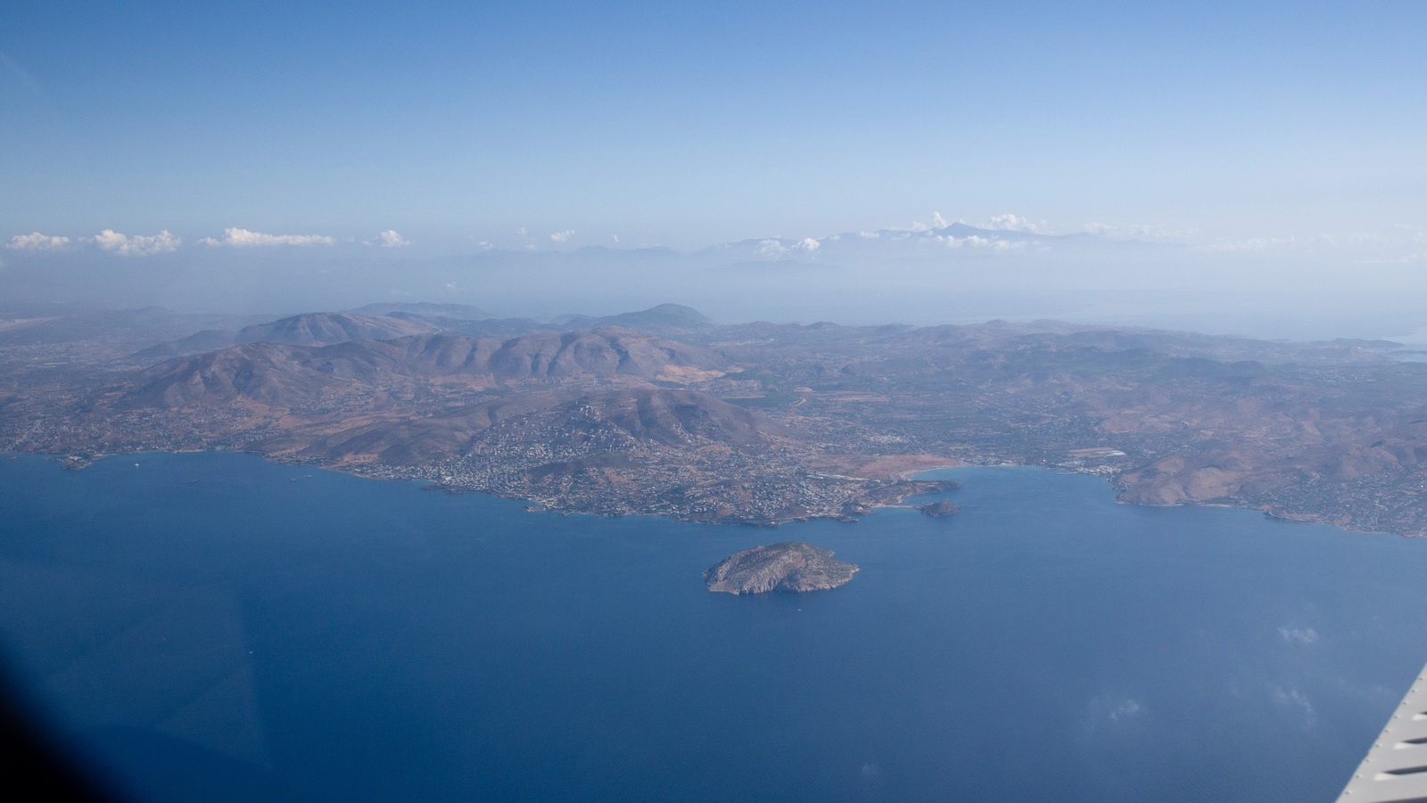
The coast of mainland Greece
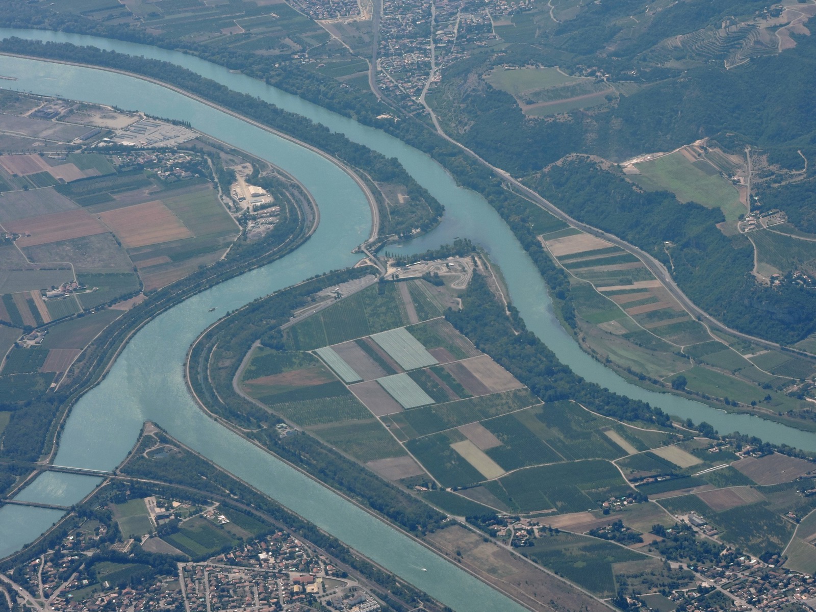
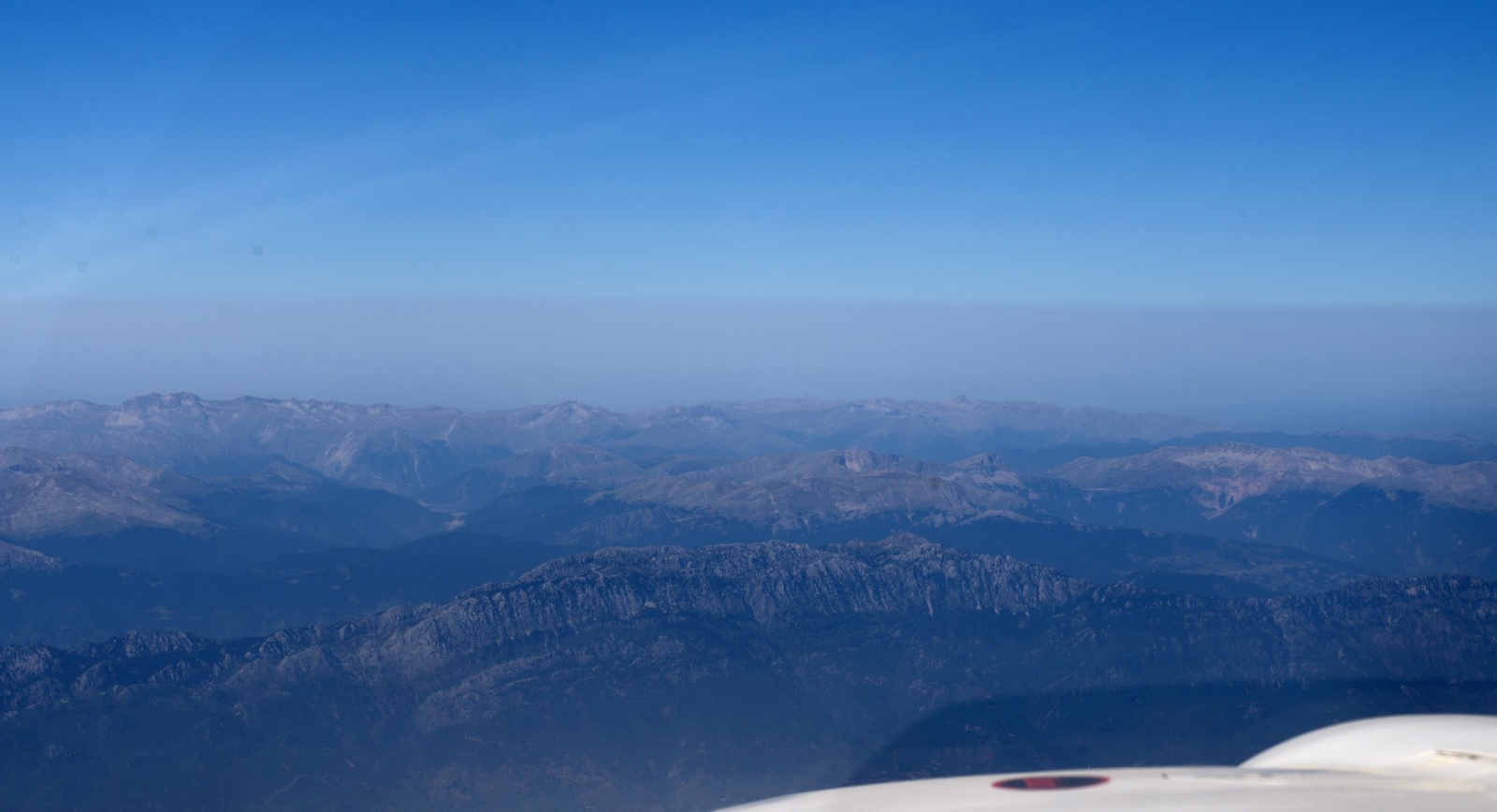
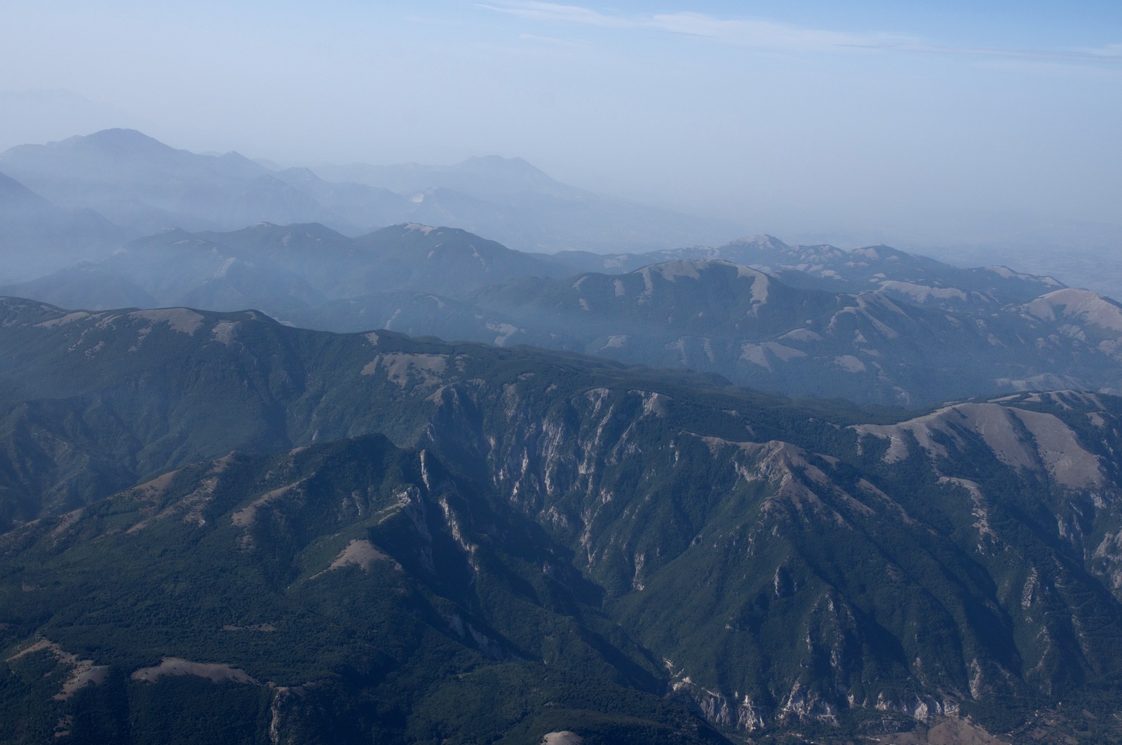
Much of the Greek mainland route was over rugged mountanious country
FL120 and 43 USG landing fuel showing - plenty
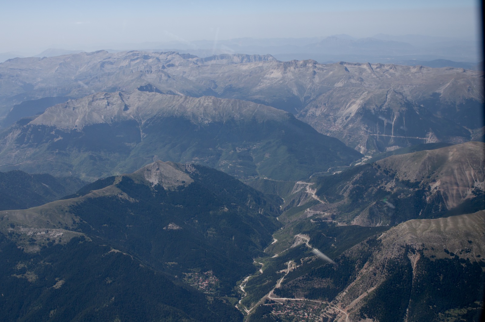
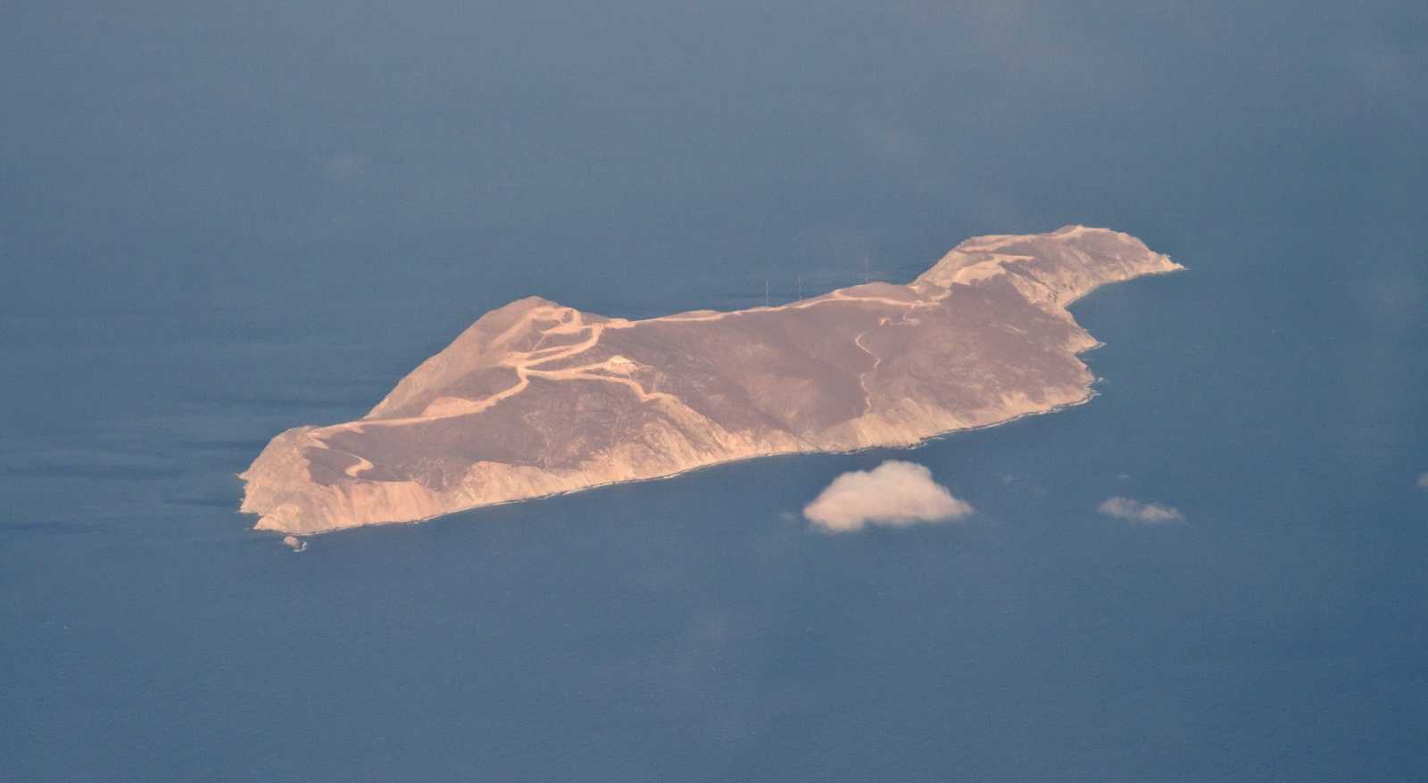
Ioannina, city home of LGIO airport, the highest elevation airport in Greece
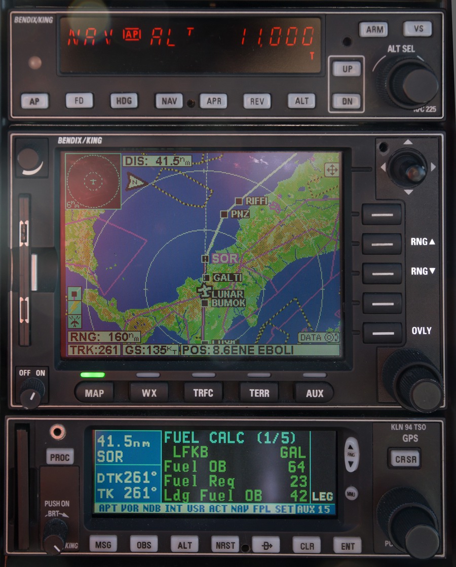
On the way to LGKR, I got a little "lesson" on IT equipment reliability. Because the Corfu stop was not originally planned, I did not print out the terminal charts back home. So I was relying on PDFs I had on my Lenovo T2 tablet. Unfortunately, due to the cockpit temperature on this flight and the sunlight shining onto the tablet, it decided to turn off its charging circuit, and eventually it shut down. The Ipads do the same, in almost the same conditions; the hardware of all these devices is virtually identical these days. The only tablet I have thus far not managed to shut down is the Samsung T705 tablet. Luckily I had another set of terminal charts on my phone (a Samsung S6, with a reasonable display) which was a bit too small to see even with reading glasses, but I made a sketch of the expected VOR approach on a bit of paper.
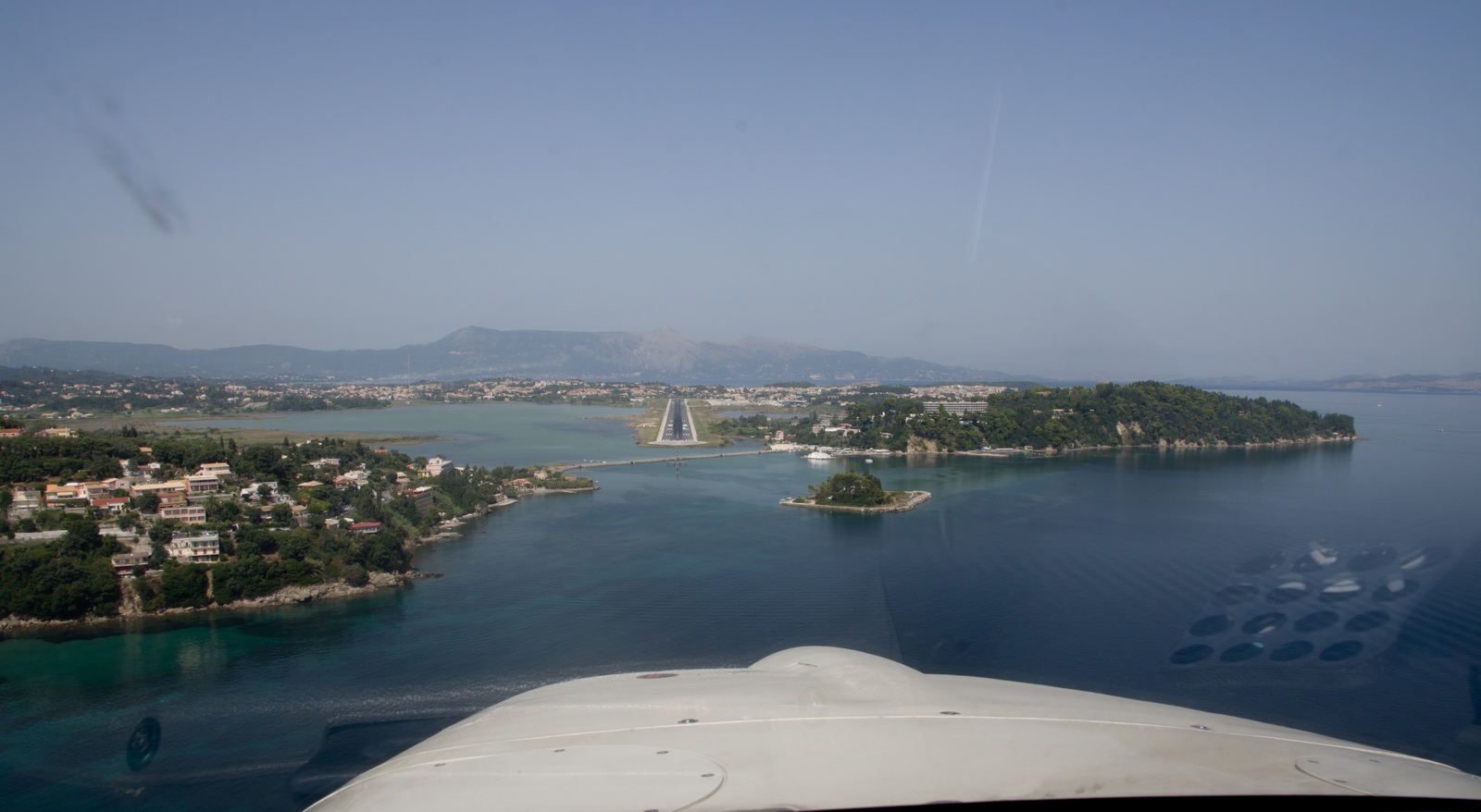
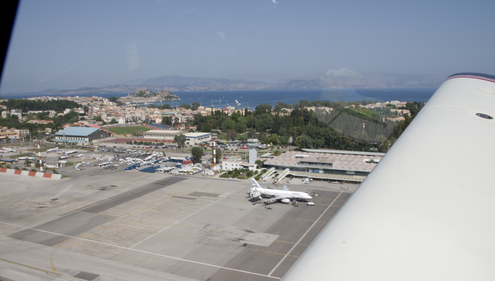
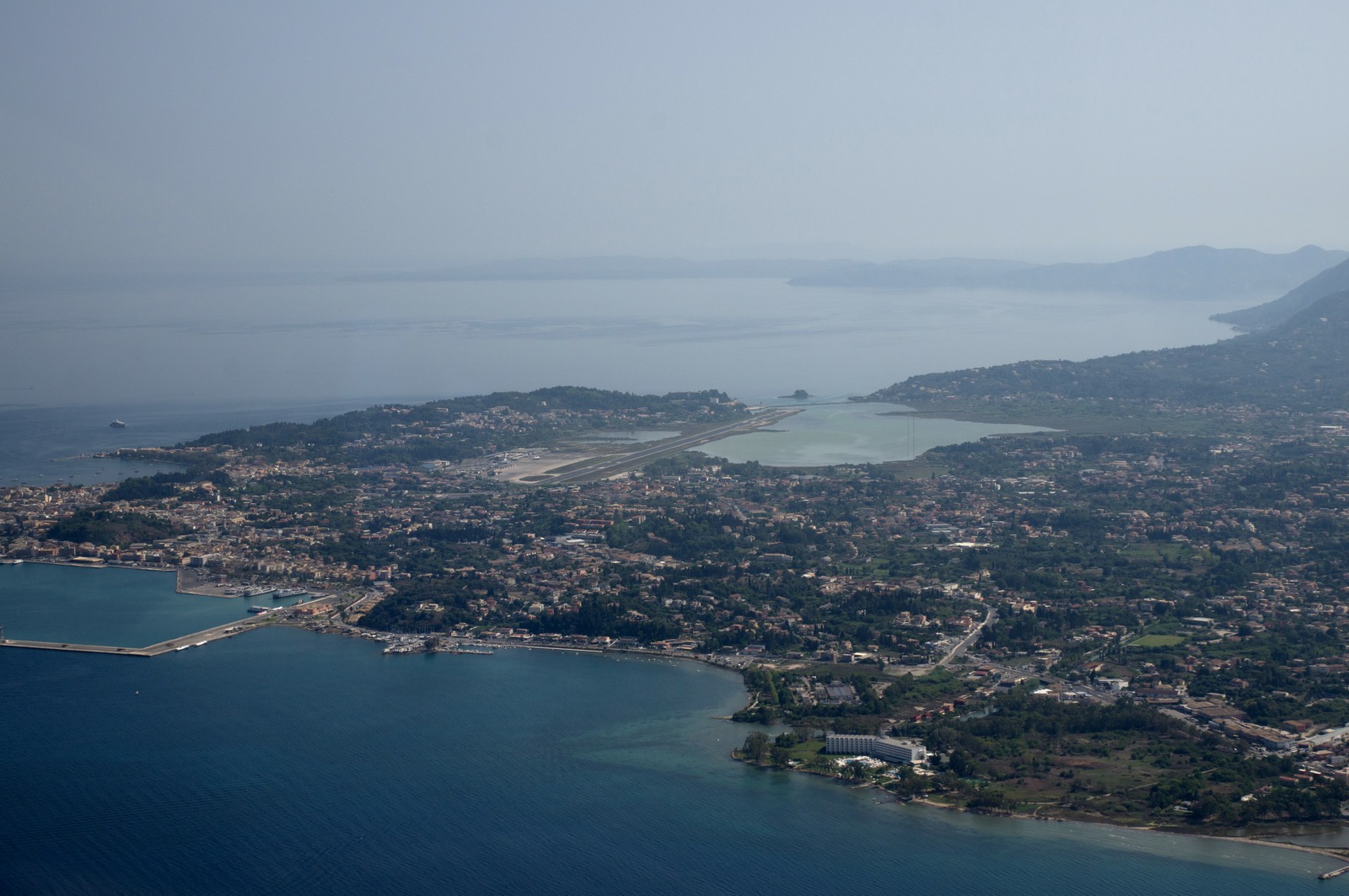
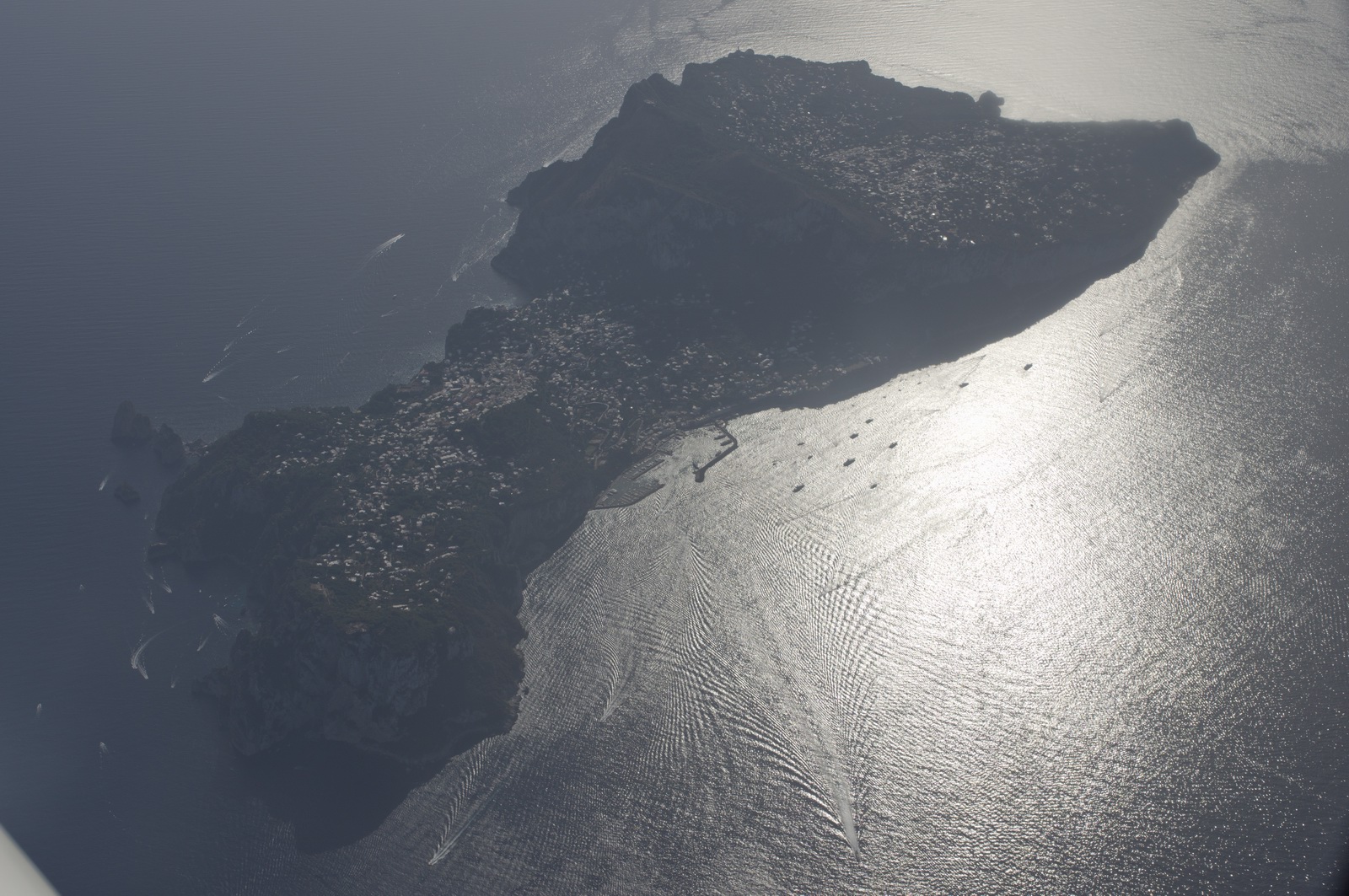
Final for Corfu LGKR, cleared for a visual approach, runway 35. I have been here many times since 2004. It is the most commonly used entry point for Greece. This is a well known picture... one of Europe's most scenic approaches
Parked at the GA parking area in front of the long-disused old terminal
One of those Cessnas, I discovered much later, belongs to another pilot I know.
GA is a small world ![]()
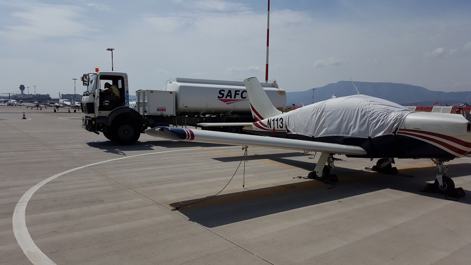
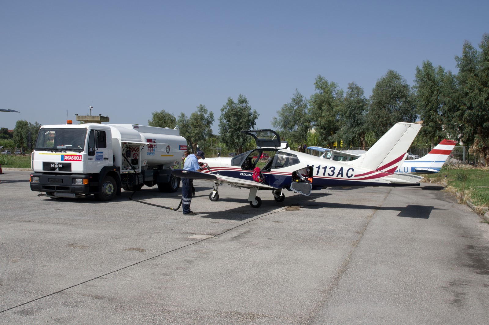
The Greeks did everything really quickly. Fuel and two visits (1 x handling, 1 x CAA) were as expected but surprisingly since we paid airport charges at Skiathos there was nothing to pay to the CAA! So I moved the flight plan 50 mins earlier. The staff were amazed this was possible! They still have loads of people doing handwritten flight plans which need to be taken personally up to the tower, just like I was doing in 2004 and 2005. You pay the fuel man directly – AIR BP or a credit card
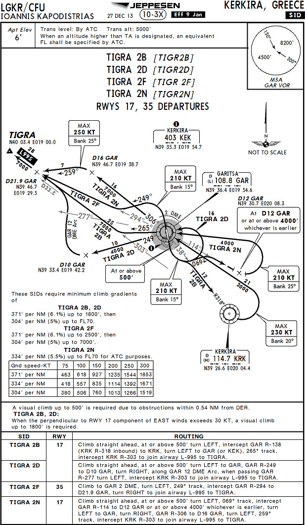
Departing again, runway 35, TIGRA2F departure
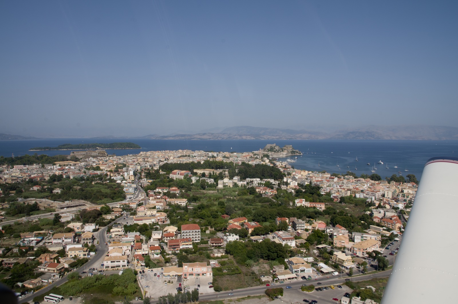
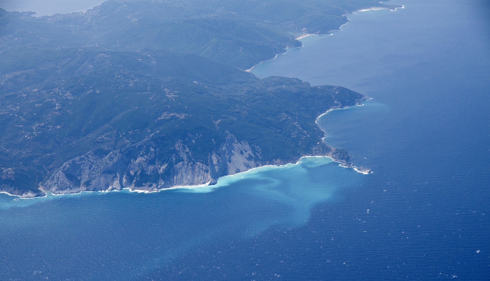
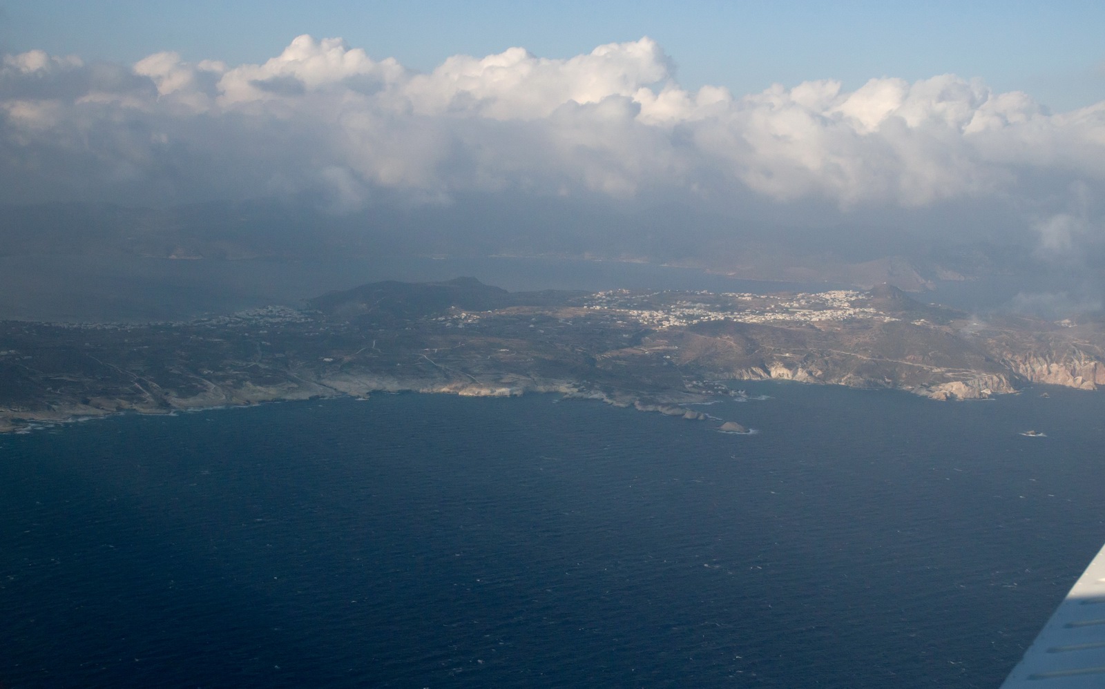
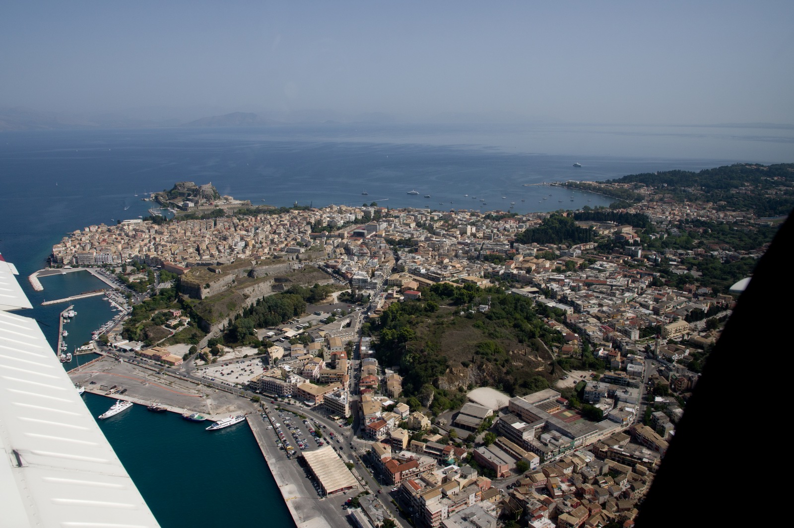
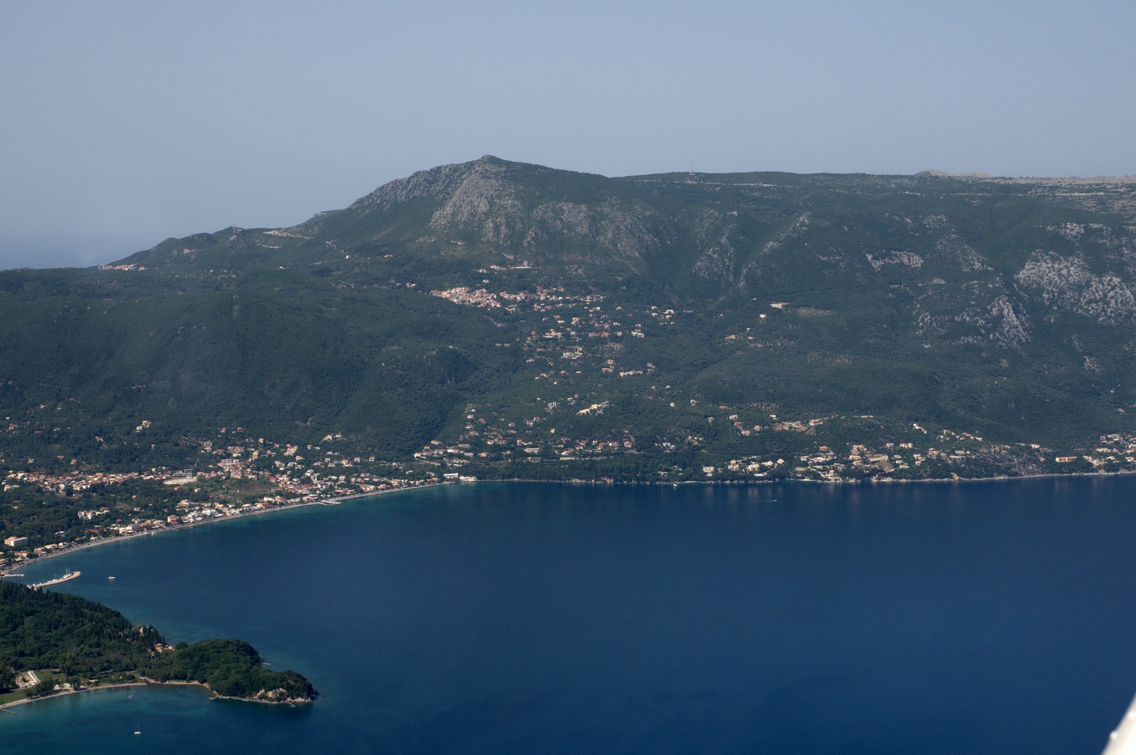
Corfu (Kerkira) city and its fortress. This is what most visitors to Corfu see, but the island is much bigger. The "cheap tourism" holiday resorts like the notorious Kavos are out of sight, at the southern end of the island, which is far top right in the pic below
This is the hill you fly towards when departing on runway 34. There is a minimum climb gradient which the TB20 can just achieve, but the SID clears the top of it anyway
It was warm, with +16C at FL080.
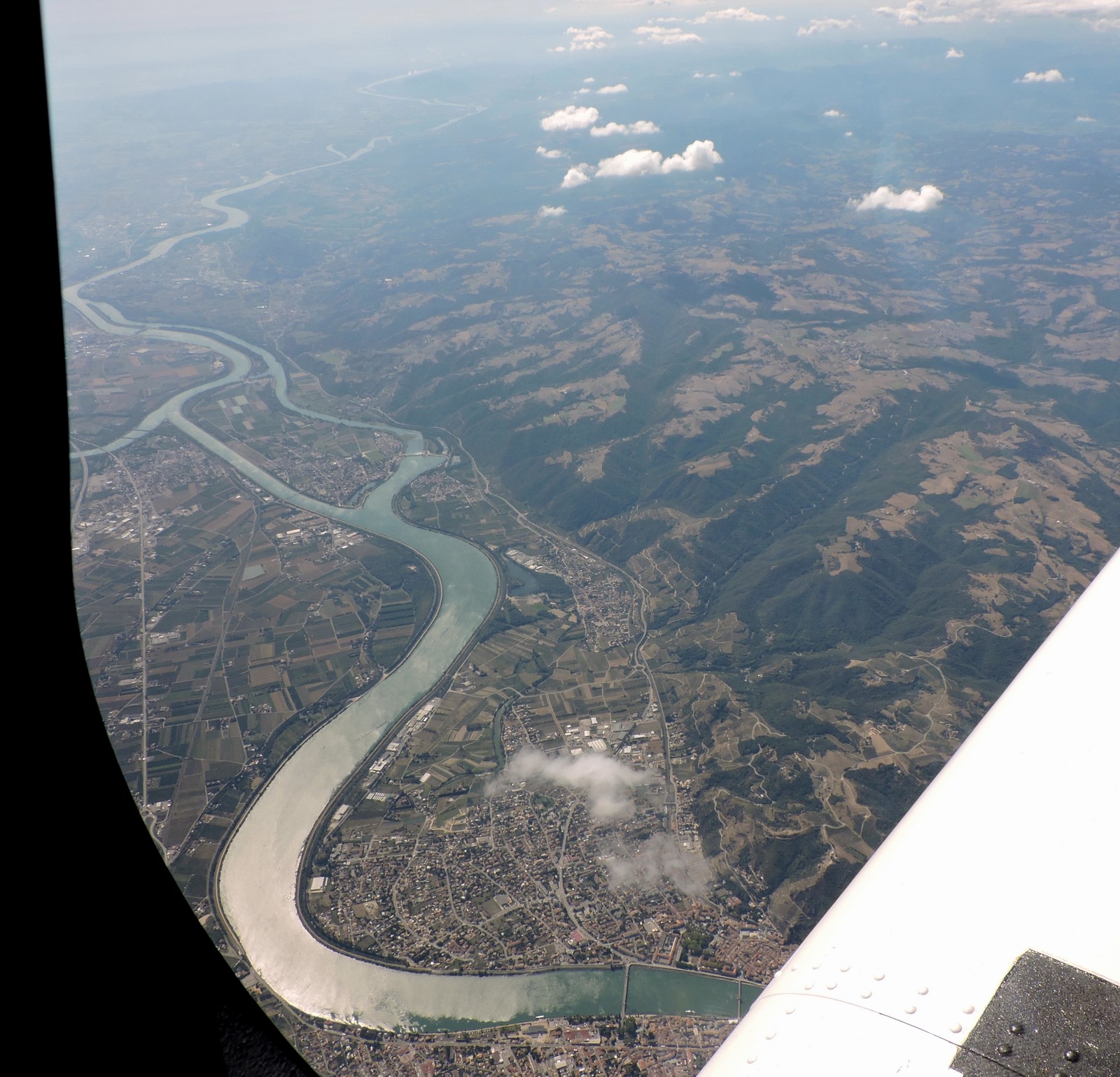
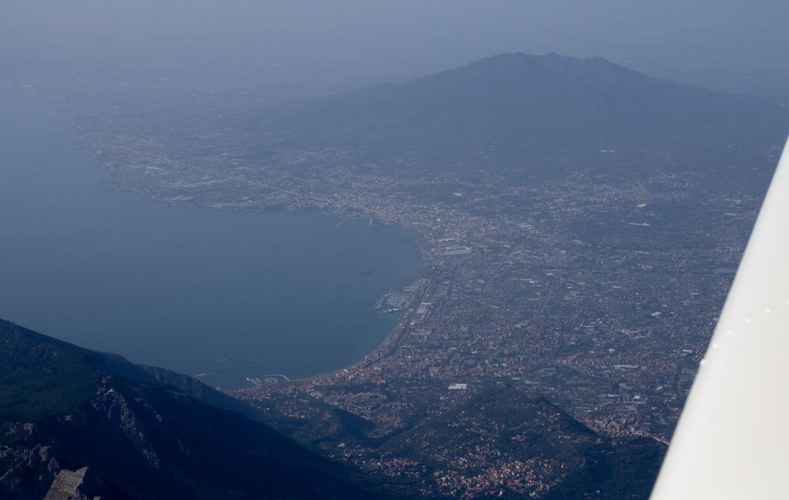
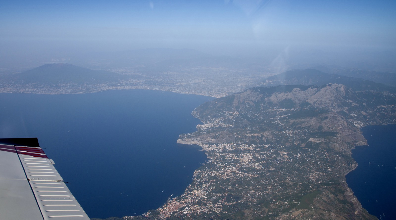
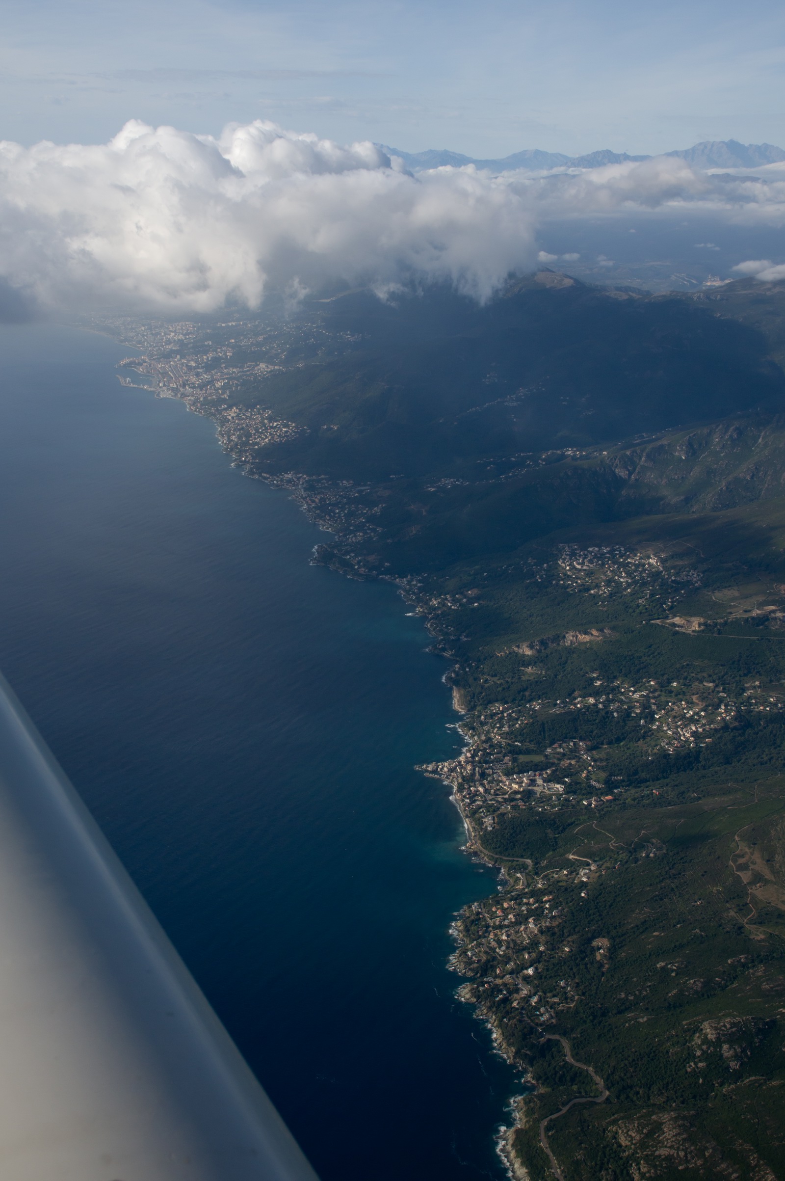
We are over Italy now, FL110, approaching Sorrento
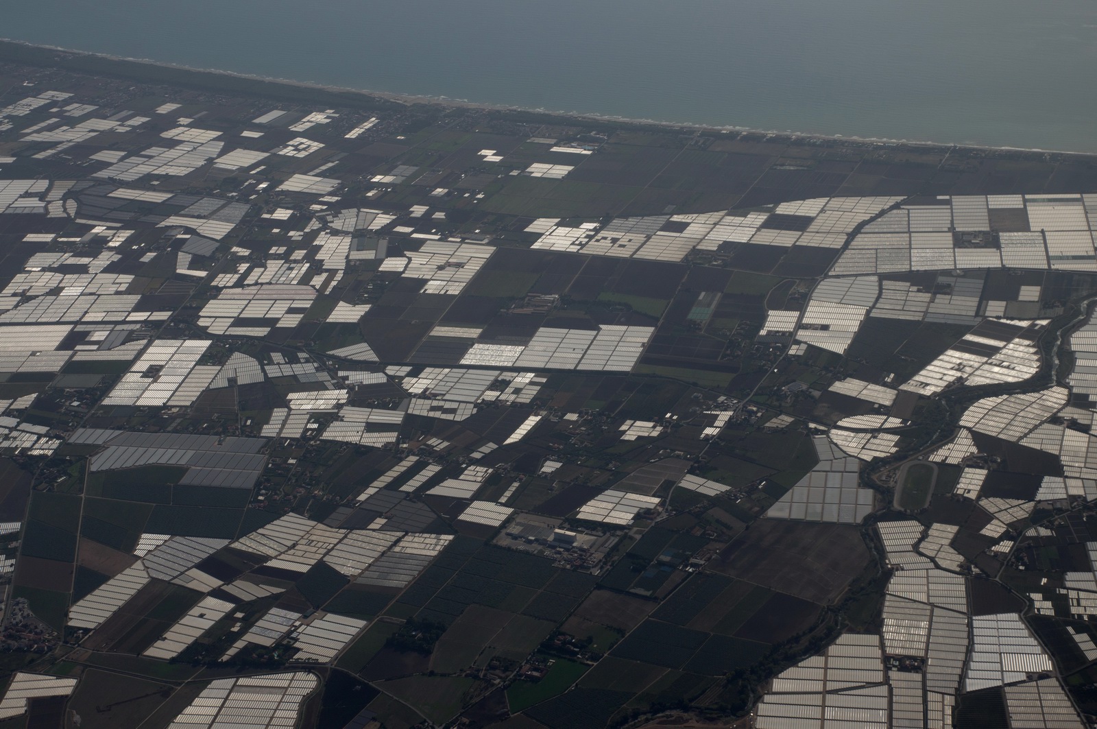
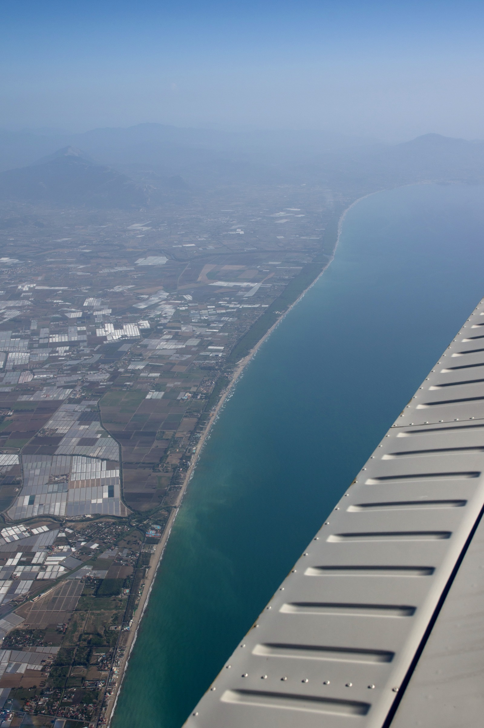
Crossing the west coast of Italian mainland, for the long over-water crossing (via PNZ etc) which is completely pointless, but the whole of Italian airspace is a pointless mess
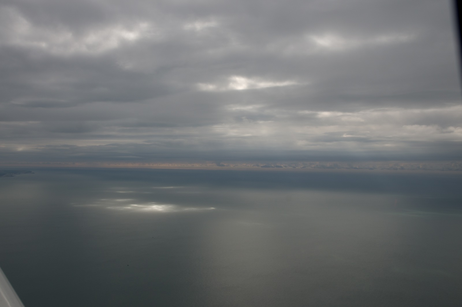
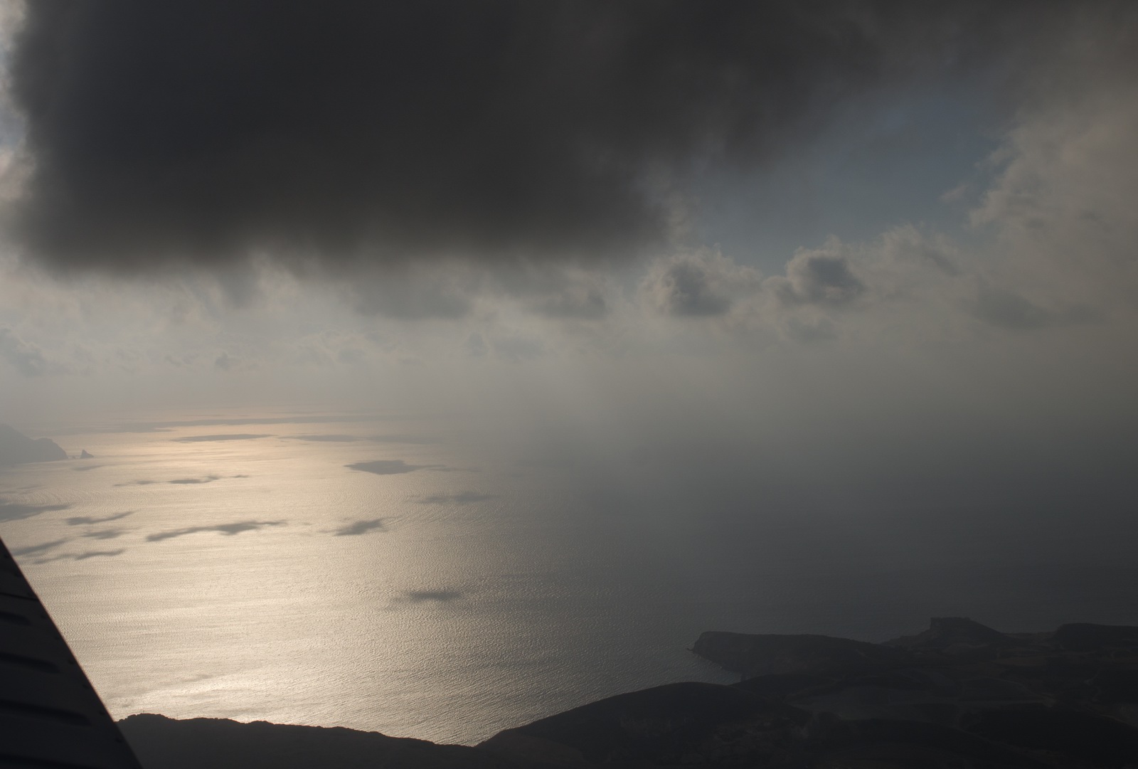
The incoming front is showing its earliest signs
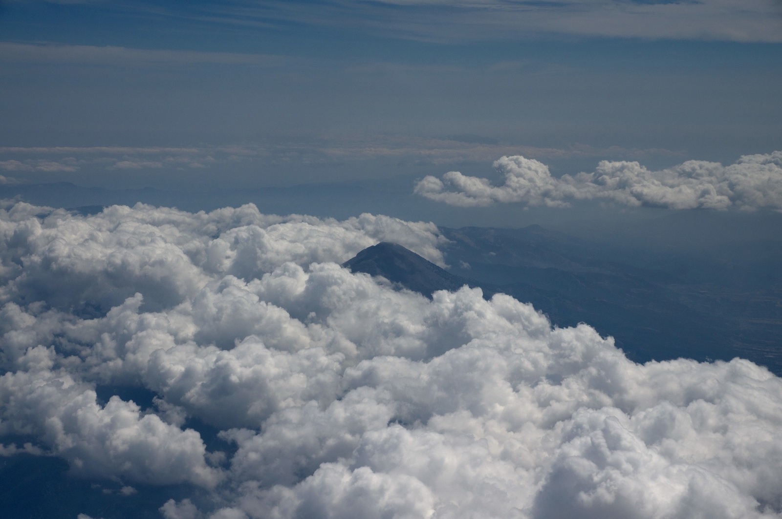
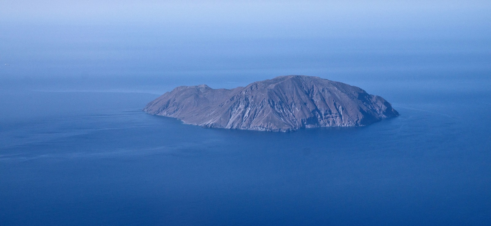
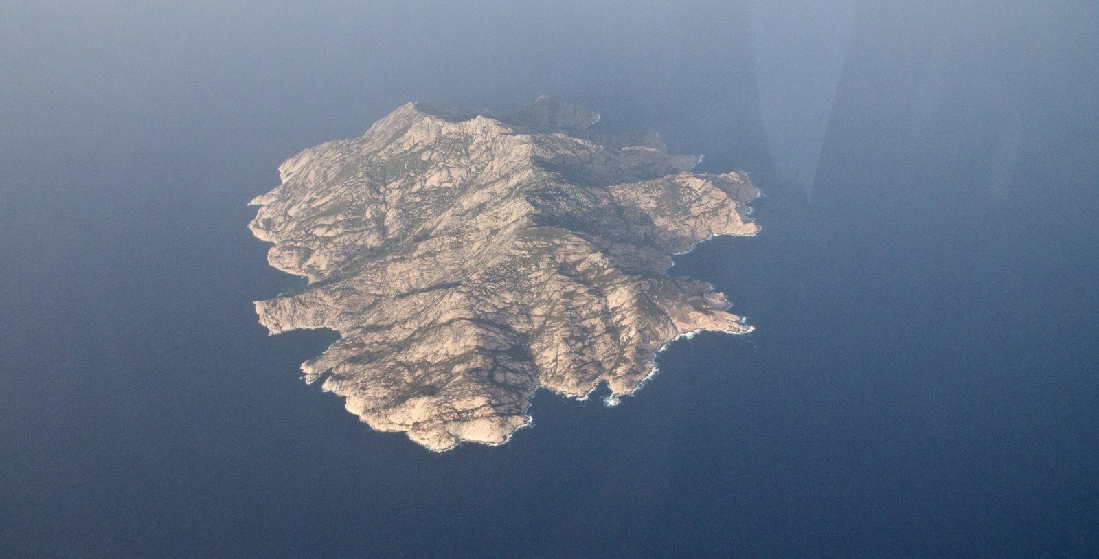
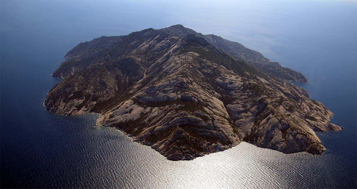
Montechristo Island – I did an orbit around it but really one needs to be much lower than FL110… The sea was calm so it looked like it was floating in space. It always looks magical and mysterious - just like the Alexander Dumas book which I read as a child, back in Czechoslovakia. Here is a better photo from 2005
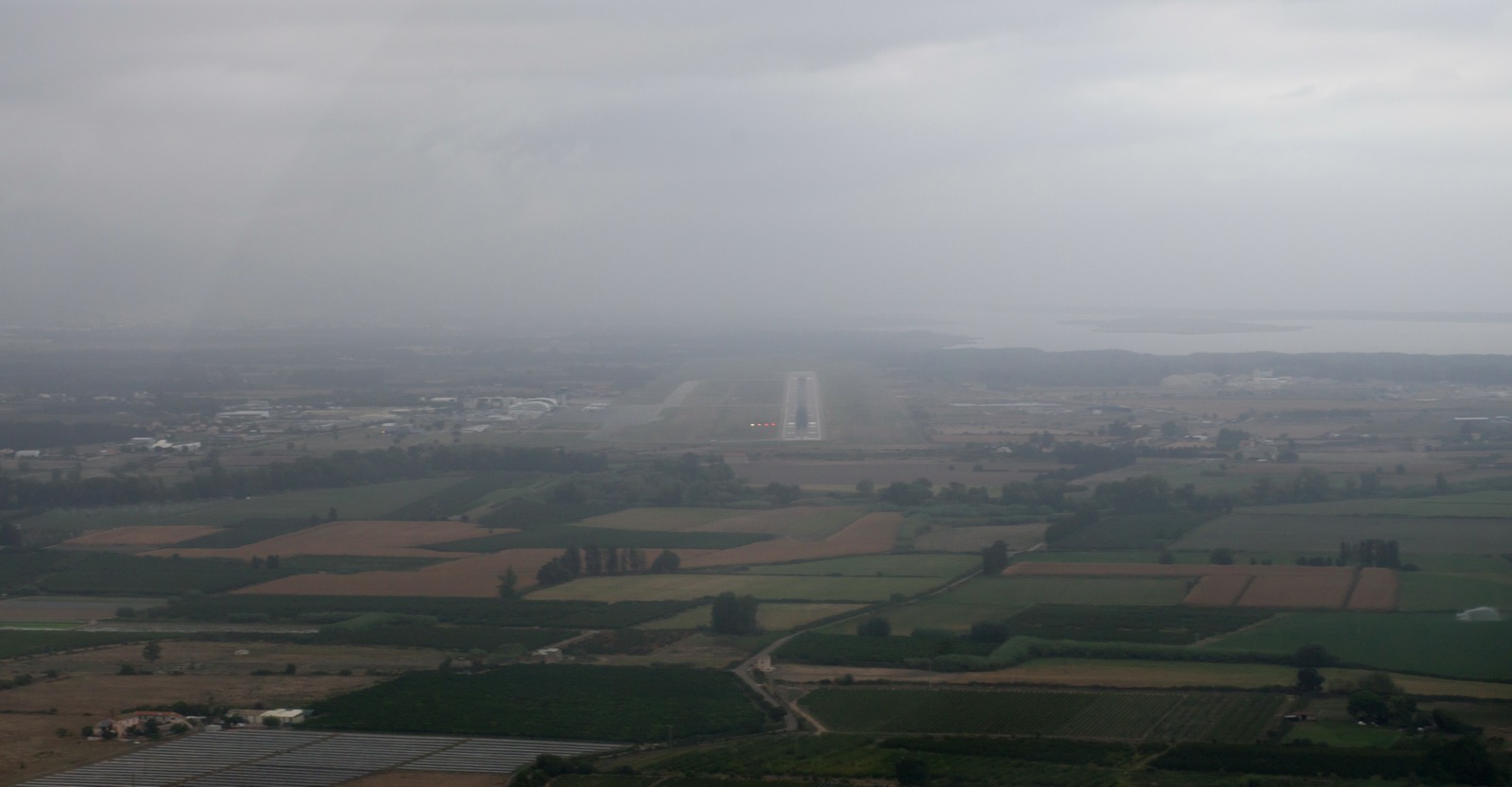
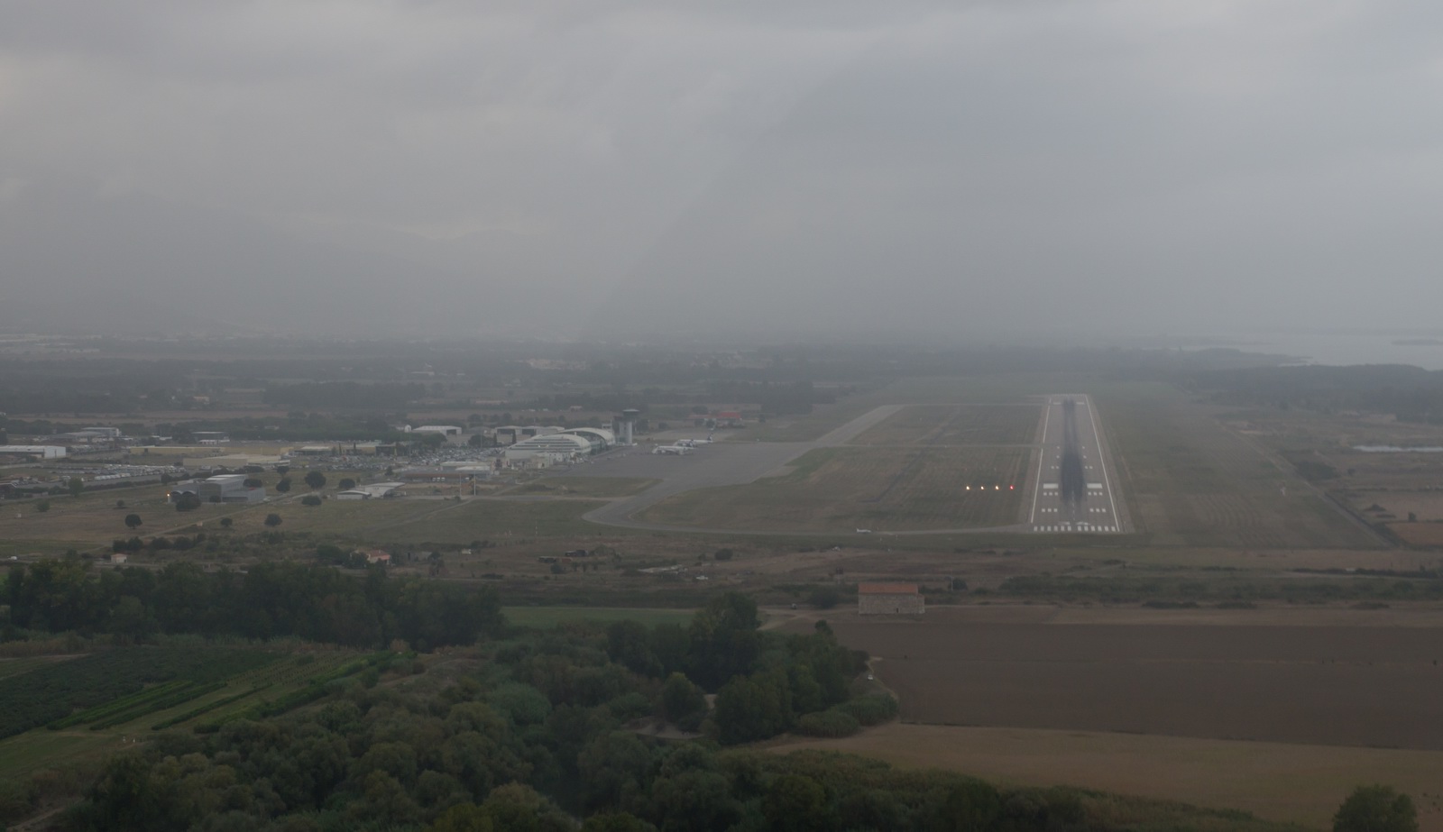
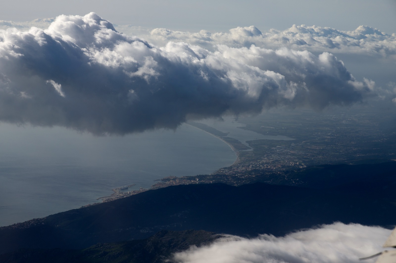
Now we are descending for Bastia, Corsica
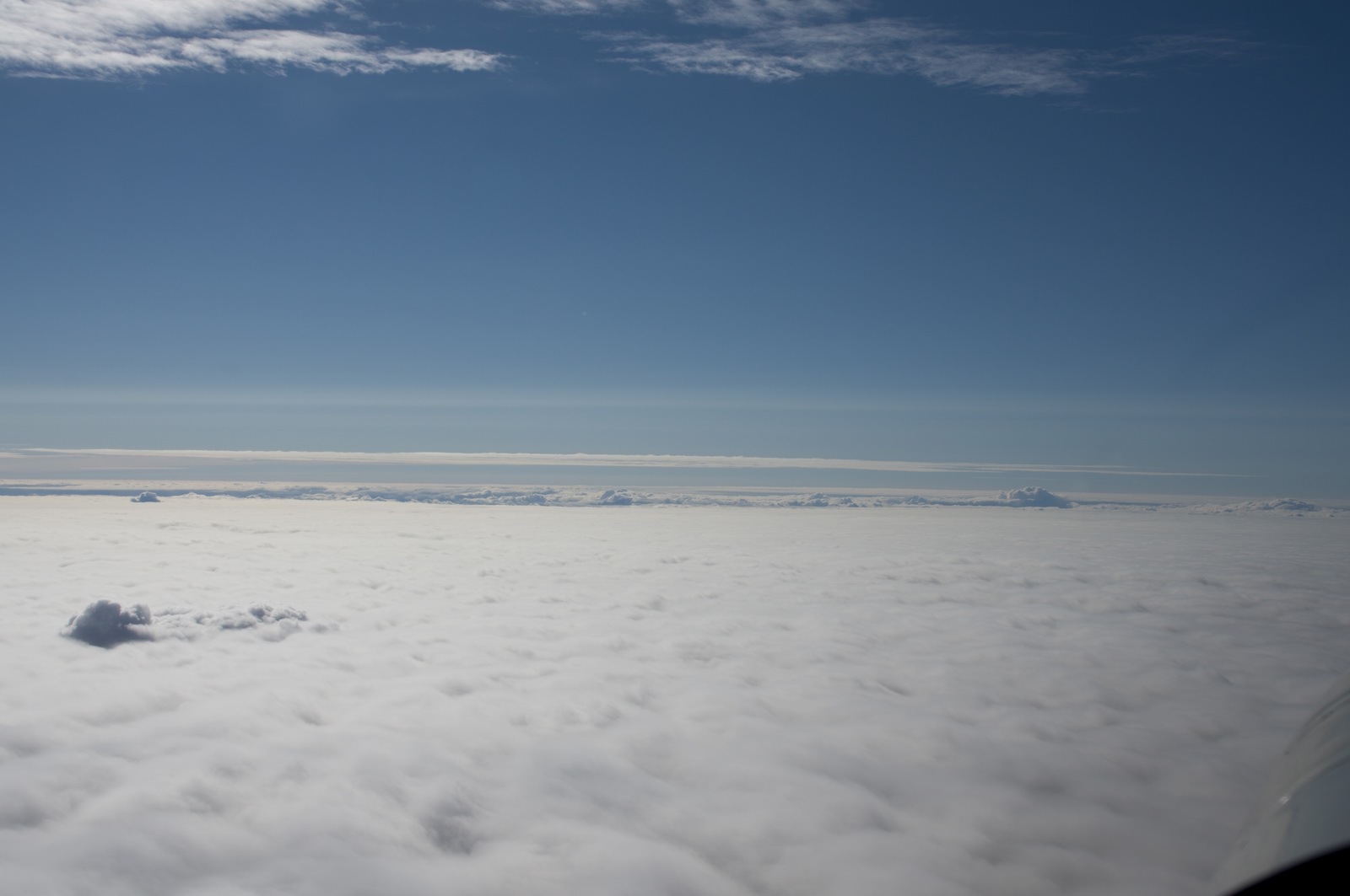
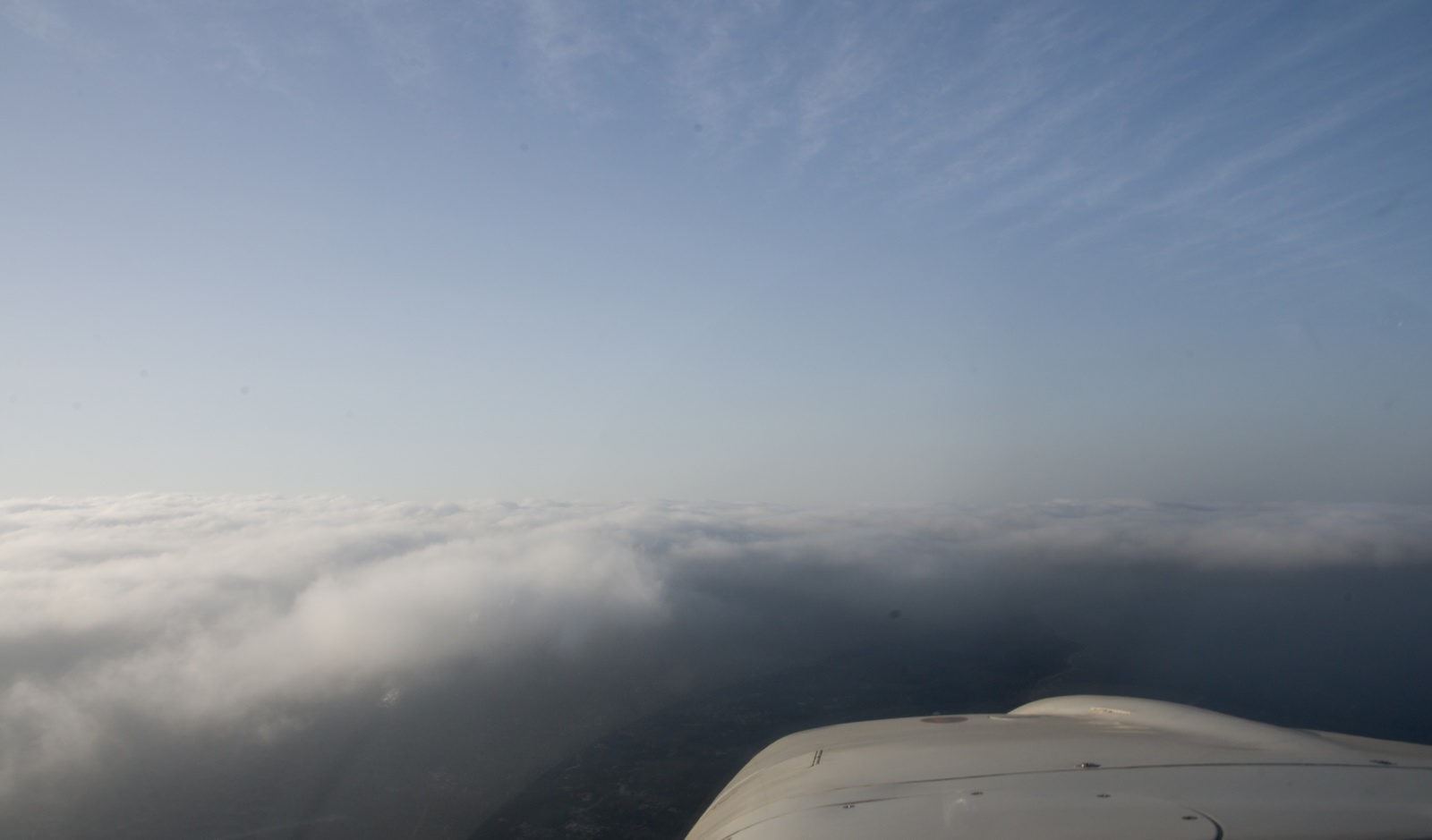
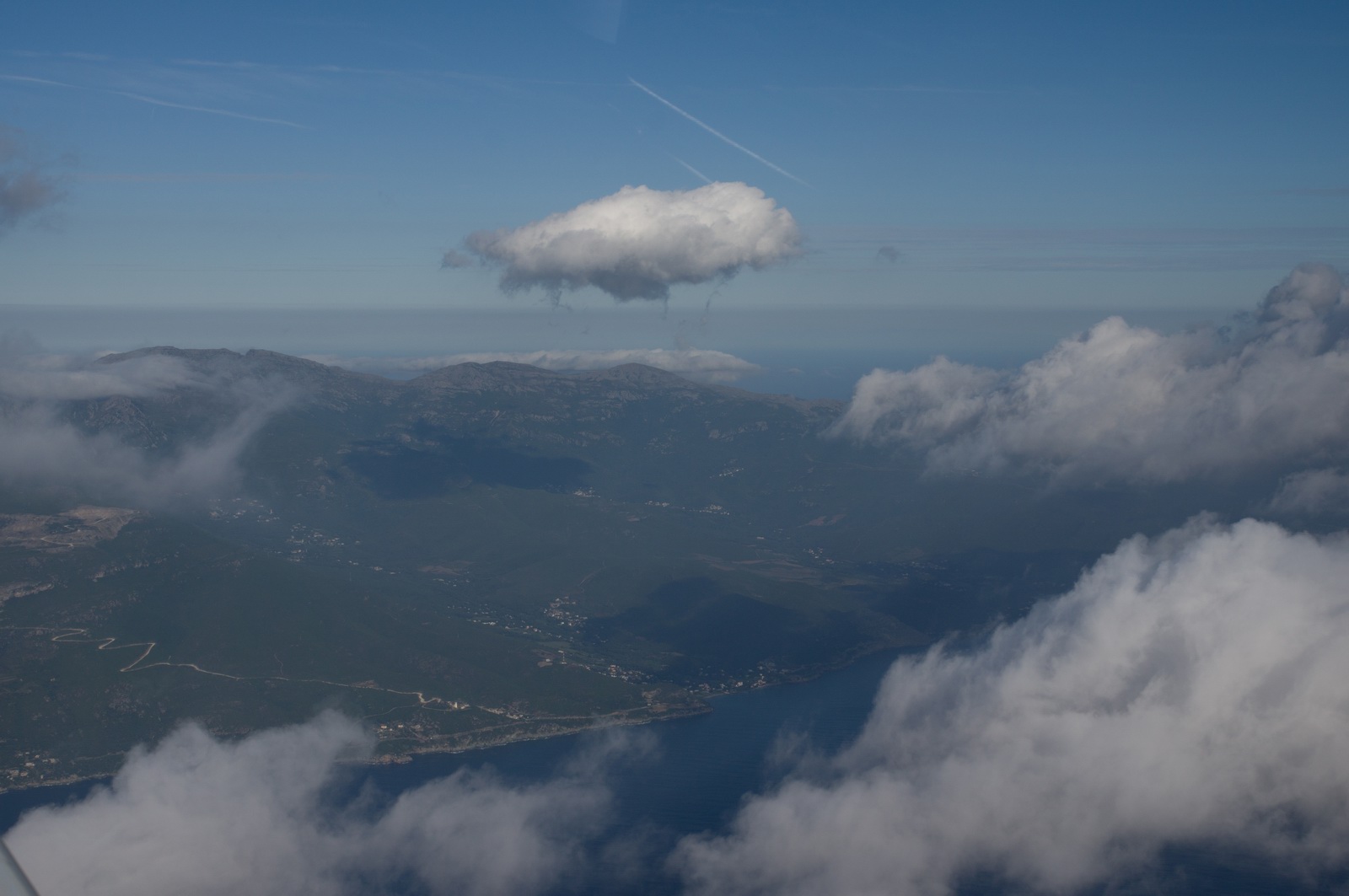
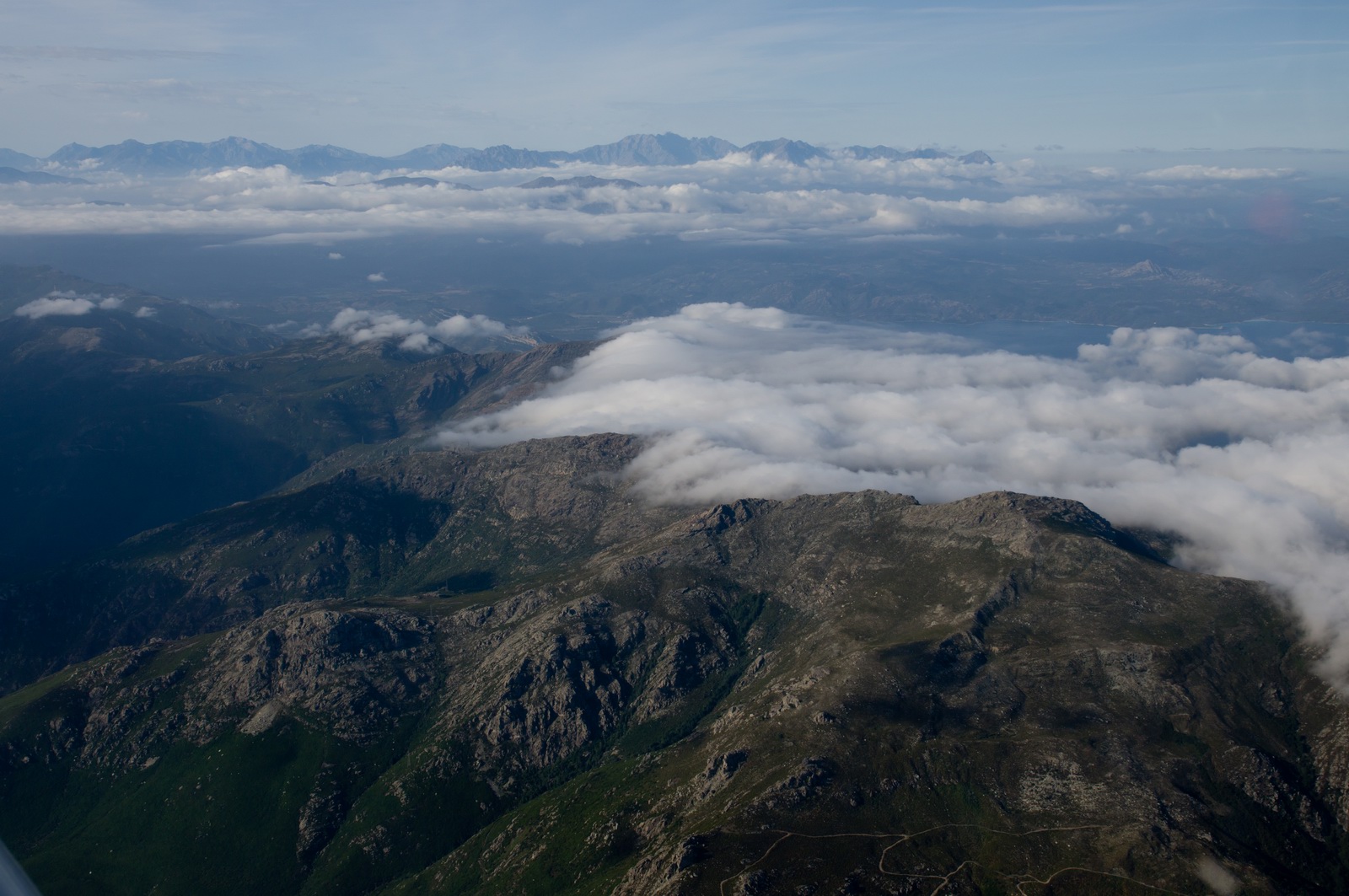
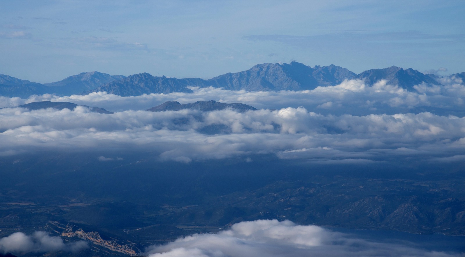
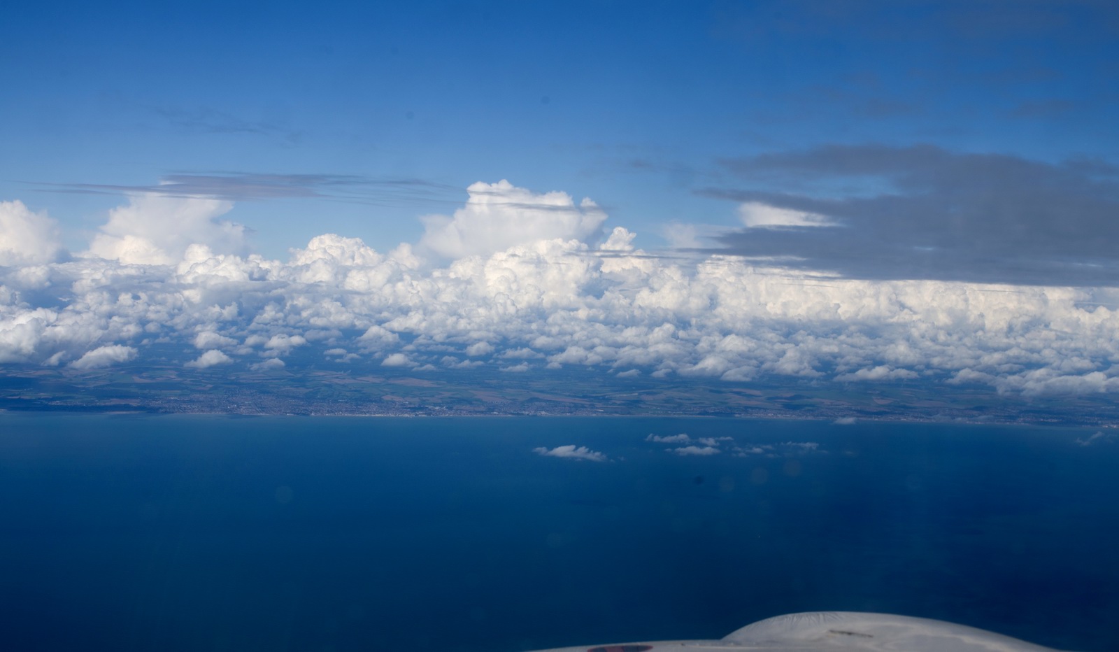
The mountains of Corsica appear in the haze. There was a layer of low cloud, base about 2000ft, tops 4000ft, which was very warm and humid. With this terrain around you really do not want to screw up...
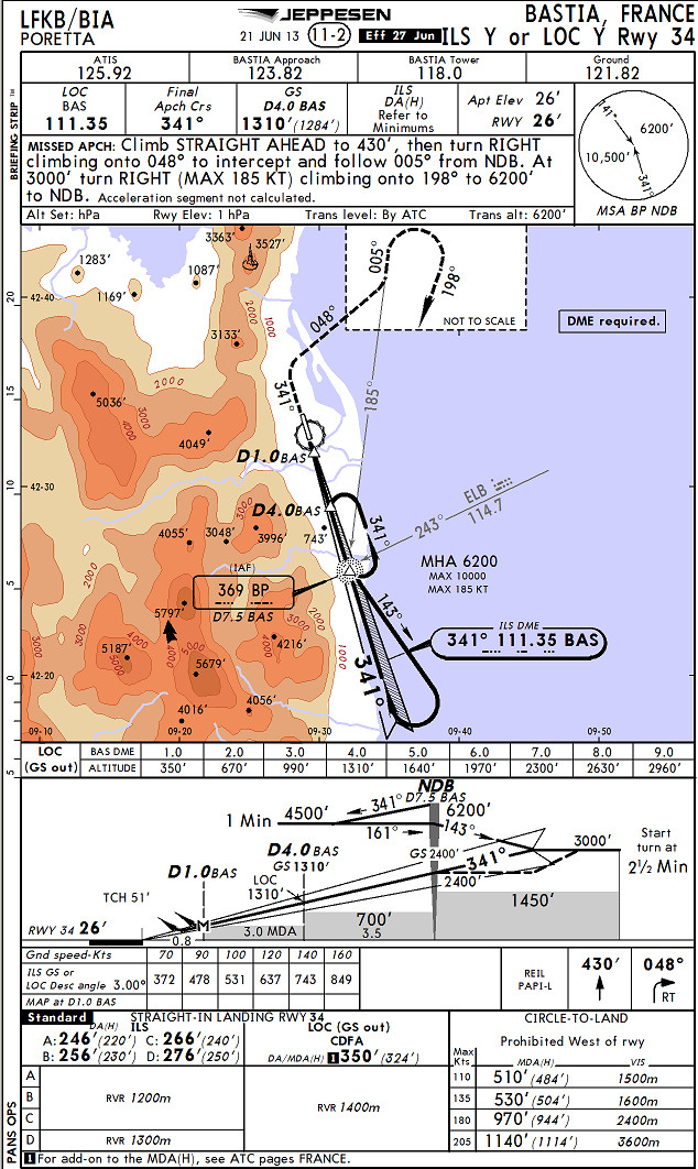
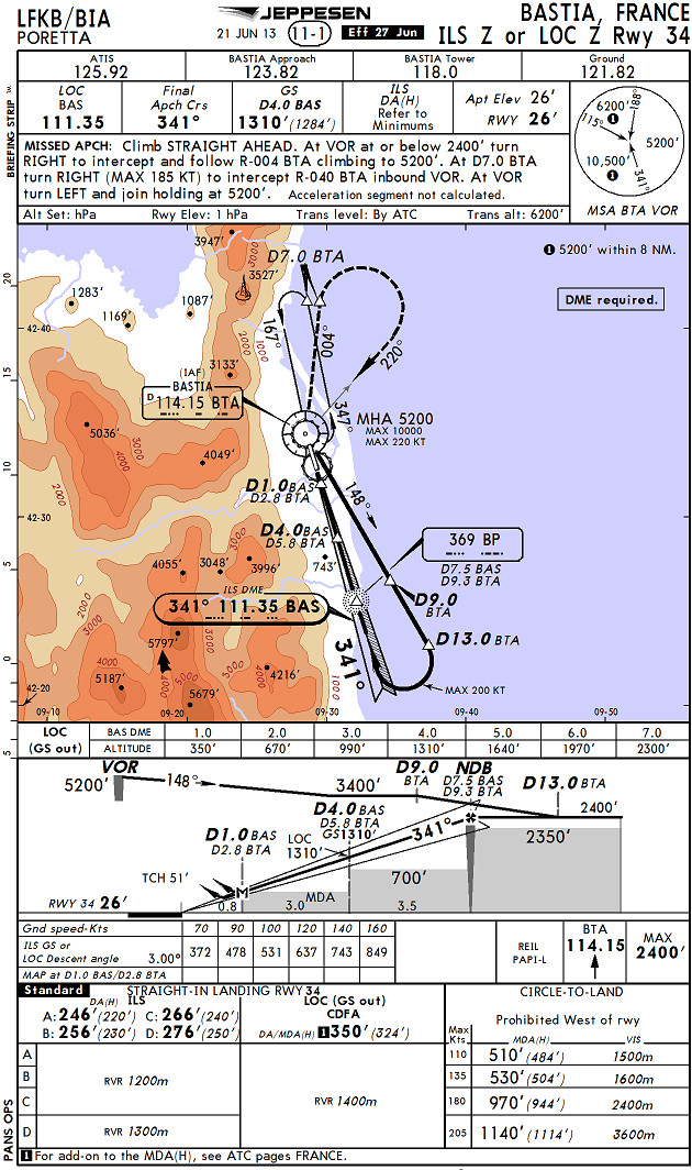
This is just before descending into the cloud, on the ILS. The ILS is procedural
only. They just said "cleared for the ILS, runway 34". I initially
asked for vectors but got no reply to several requests. So I did it myself...
Of the two ILS procedures listed, ILS Y
and ILS Z, I flew the other one to what
they expected, evidently. Obviously I should have asked them which one they
wanted ![]() ATC asked me
what I was doing, so I told them and they seemed happy...
ATC asked me
what I was doing, so I told them and they seemed happy...
Immediately in/below the cloud, one could feel the hot humid air coming in through the air vents
The place was dead. I went to look for signs of life...
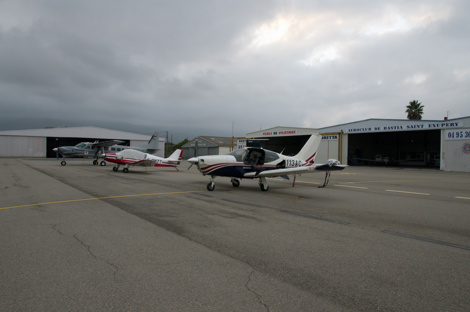
After a while I found a man in the back of some workshop. With nobody speaking
English, I got by with hand gestures and got another one who was hanging out
in the fuel depot (middle of the pic below) to work the self-service (AIR BP
card only) pump, whose menus were in French despite it initially identifying
my card as UK based and saying so in English ![]()
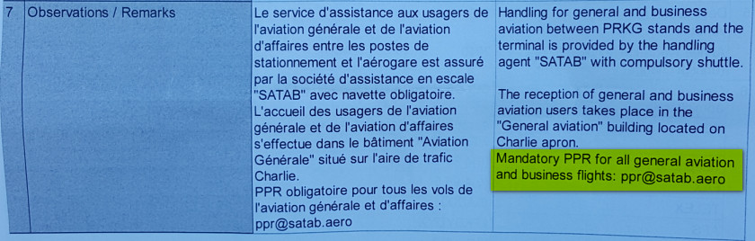
I also realised why nobody replies to the "mandatory PPR" in their AIP entry. 3 emails and 1 fax, no reply. They can’t understand your request! That’s fine, because nobody seems to be too worried... but then why publish this nonsense and waste everybody's time trying to contact them?
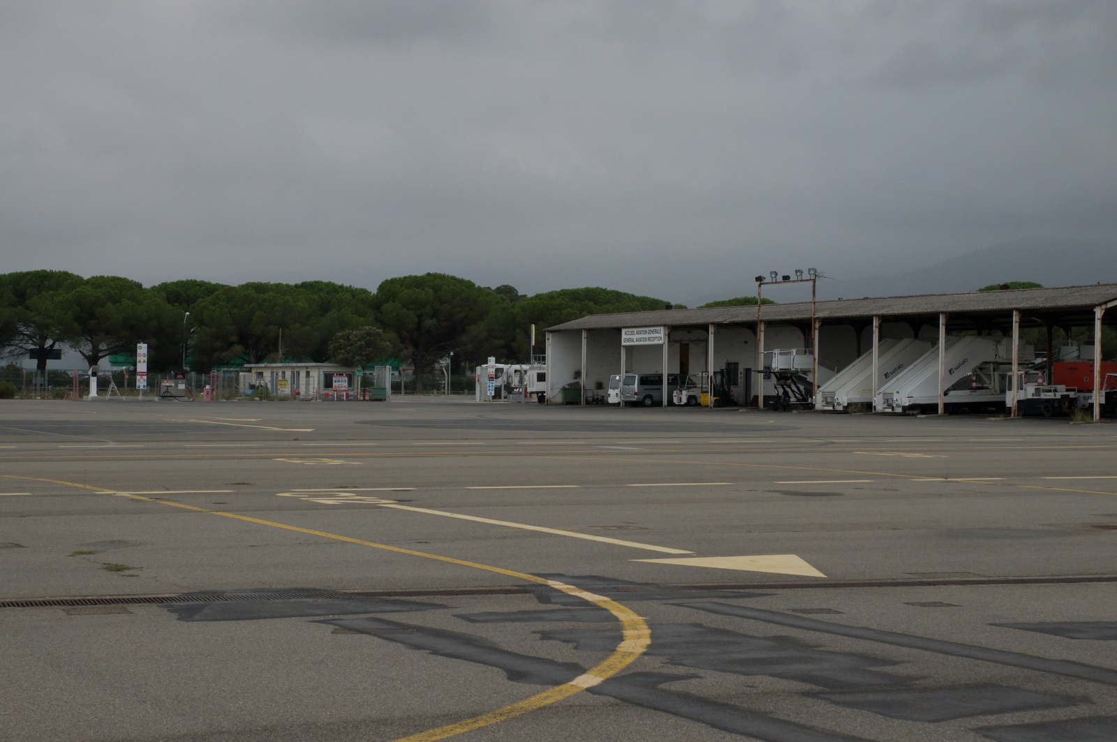
Getting off airside was another challenge, which is not unusual in the larger airports in France. I walked around and found all doors locked and nobody interested. Eventually a door opened to let a load of passengers onto a regional turboprop. When I walked up to them, the security went crazy but one guy spoke English so I explained I just wanted to get a taxi... Hilariously it was the same man who had received my emails and the fax! He was friendly and helpful and gave me his mobile number to use when departing.
The AIR BP fuel card, which I have kept running since 2003, has been useless most of that time, but suddenly a lot of places don't take anything else, especially at self service pumps. The list of such airport I visited in 2015 includes Annecy (with the same language issues and only one fireman knowing how the pump worked), Pamplona (where the fuel man had zero English capability - rather dangerous really), Zell am See, Athens, Corfu, and others I don't immediately recall. Most of these take credit cards also but via a more complicated process, and hand gestures are used to indicate they really don't want to do that.
In looking for a hotel, I used booking.com as usual. I thought AirB&B might be just a bit too problematic in a place where communication is such a struggle. Then I messed up with the distances and booked one which was a €100 taxi ride, each way... The Hotel Pietracap was comfortable (the first place I stayed at with a bath on this entire trip!) but at €189 for 1 night very expensive. With no food inside or within walking distance I ate some junk out of the room fridge and they found some fruit in the locked-up breakfast room.
Routes actually flown (in black):
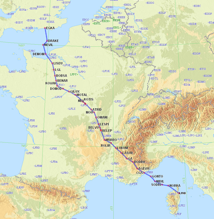
Bastia, Corsica (France) to Shoreham, UK
I decided to fly the very next morning.
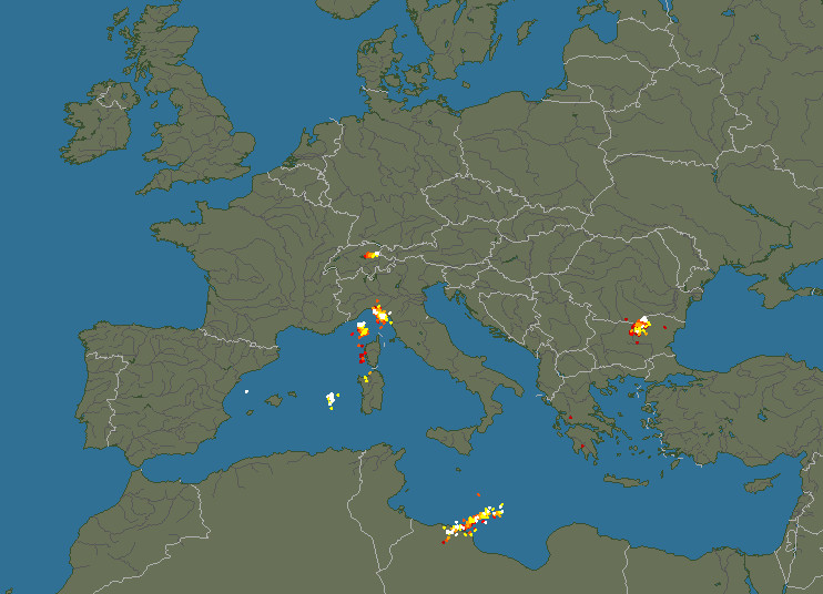
The troughs on the MSLP 1200 showed a likely convective activity all over the place, so it became a matter of how high the stuff would be and whether there would be gaps in it.
The IR image showed reasonable conditions which were judged below the TB20
operating ceiling of about FL200.
The radar image was consistent with that.
Sferics showed very little lightning activity.
The tafs/metars confirmed the above and the cloudbases forecast for Southampton
EGHI (the nearest to Shoreham EGKA) were above minima.
I also had the 1200 and 1800 SigWx from the EuroGA router briefing pack. These turned out to be accurate, which is very unusual for the SigWx which nowadays is drawn mostly for jet traffic.
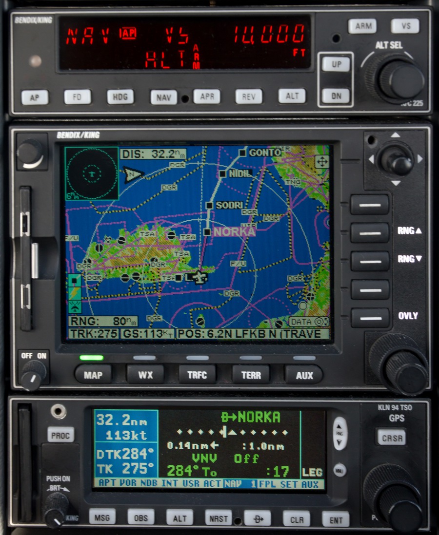
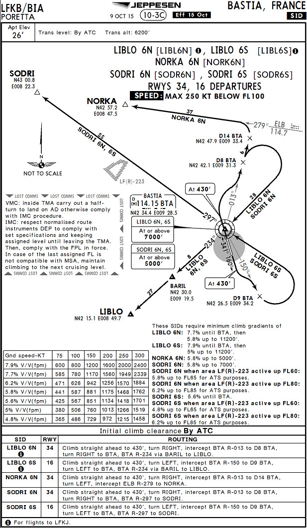
FL100
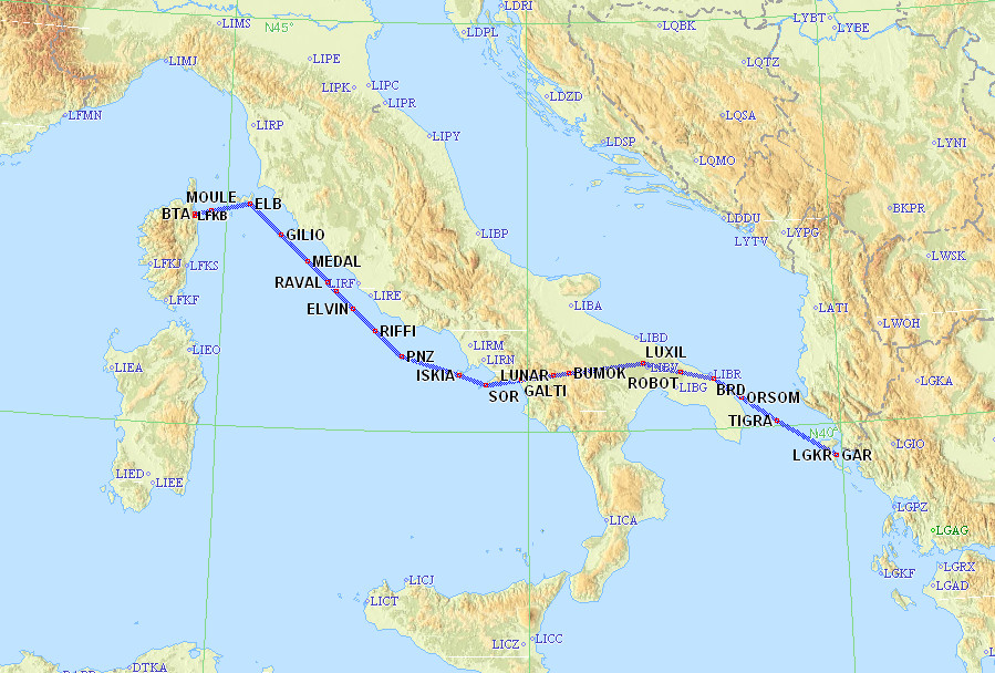
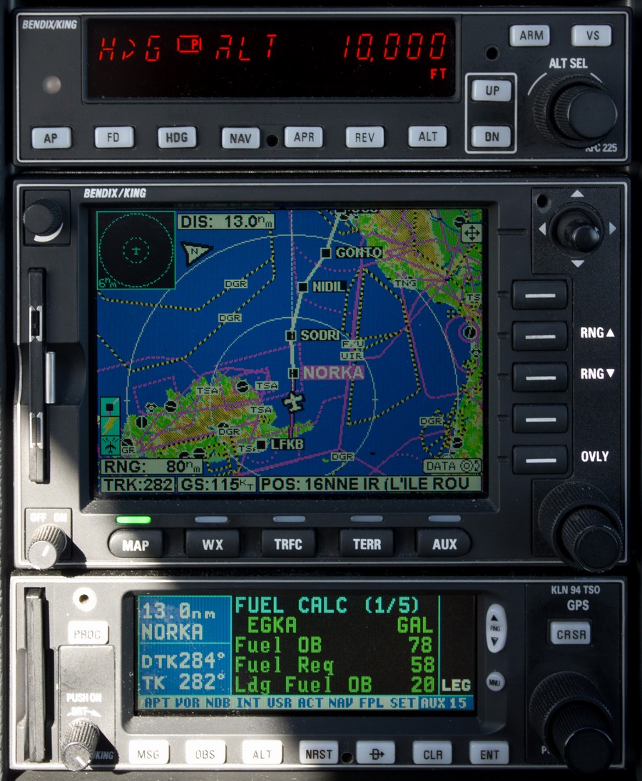
LFKB NORKA6N NORKA A3 SODRI DCT NIDIL DCT GONTO DCT CGS DCT AGEVU DCT BODRU
DCT GA DCT LASUR DCT LUKUM DCT ROLIR DCT MURRO A3 DOMOD H20 KOVAK A34 BENAR
H20 LGL/N0150F080 A34 LISEU DCT DEMOM DCT NEVIL DCT DRAKE EGKA
Alternates: Biggin Hill EGKB, Bournemouth EGHH, Lydd EGMD
639nm (GC) 696nm (IFR)
Bastia may have been sleepy the night before but everything was super efficient in the morning. It took minutes to pay up and go through. The cost was about €25.
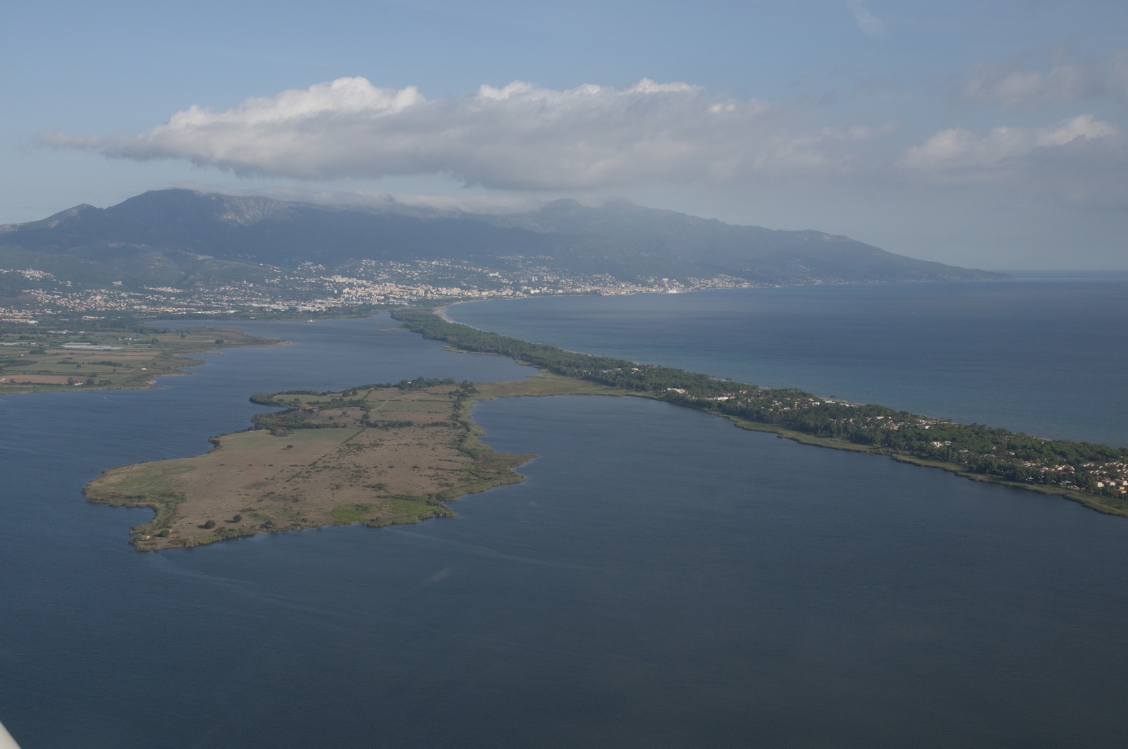
Nice morning, with just some cloud layers around
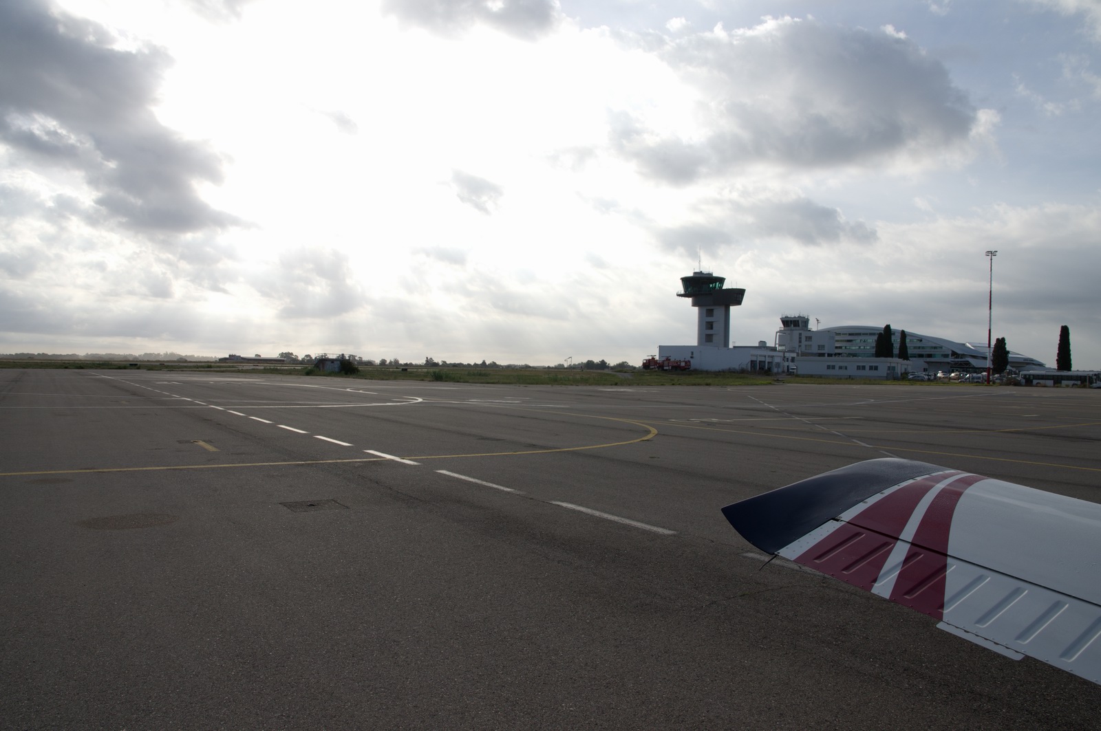
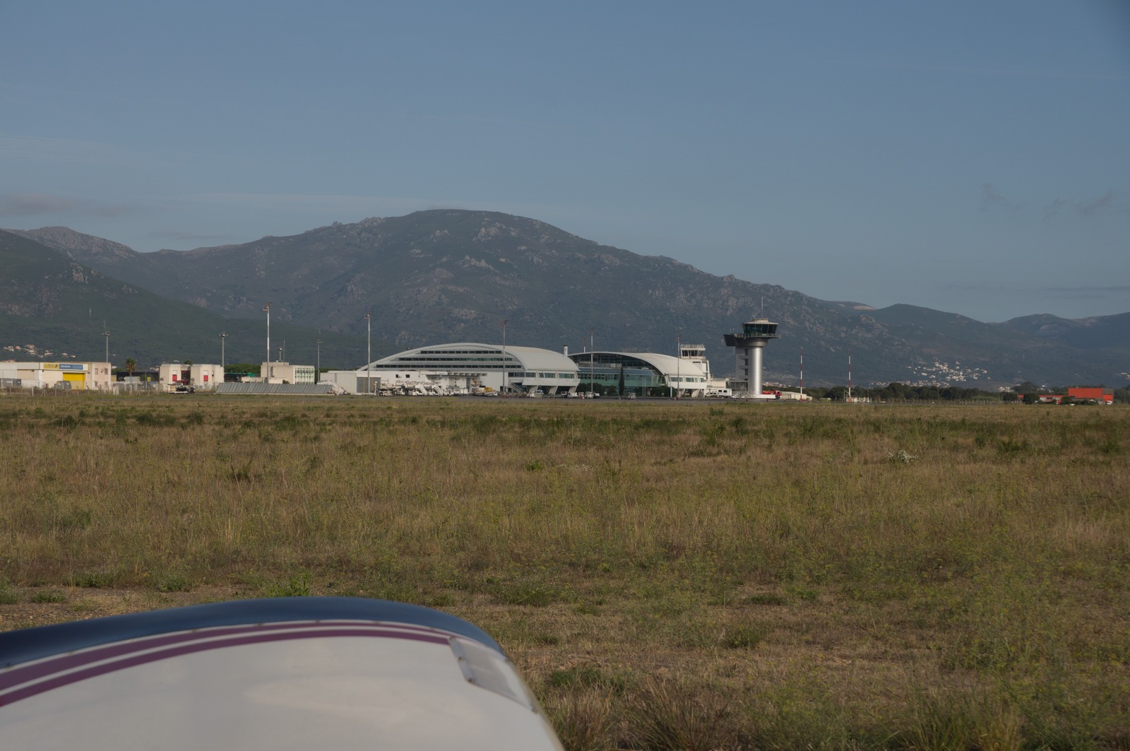
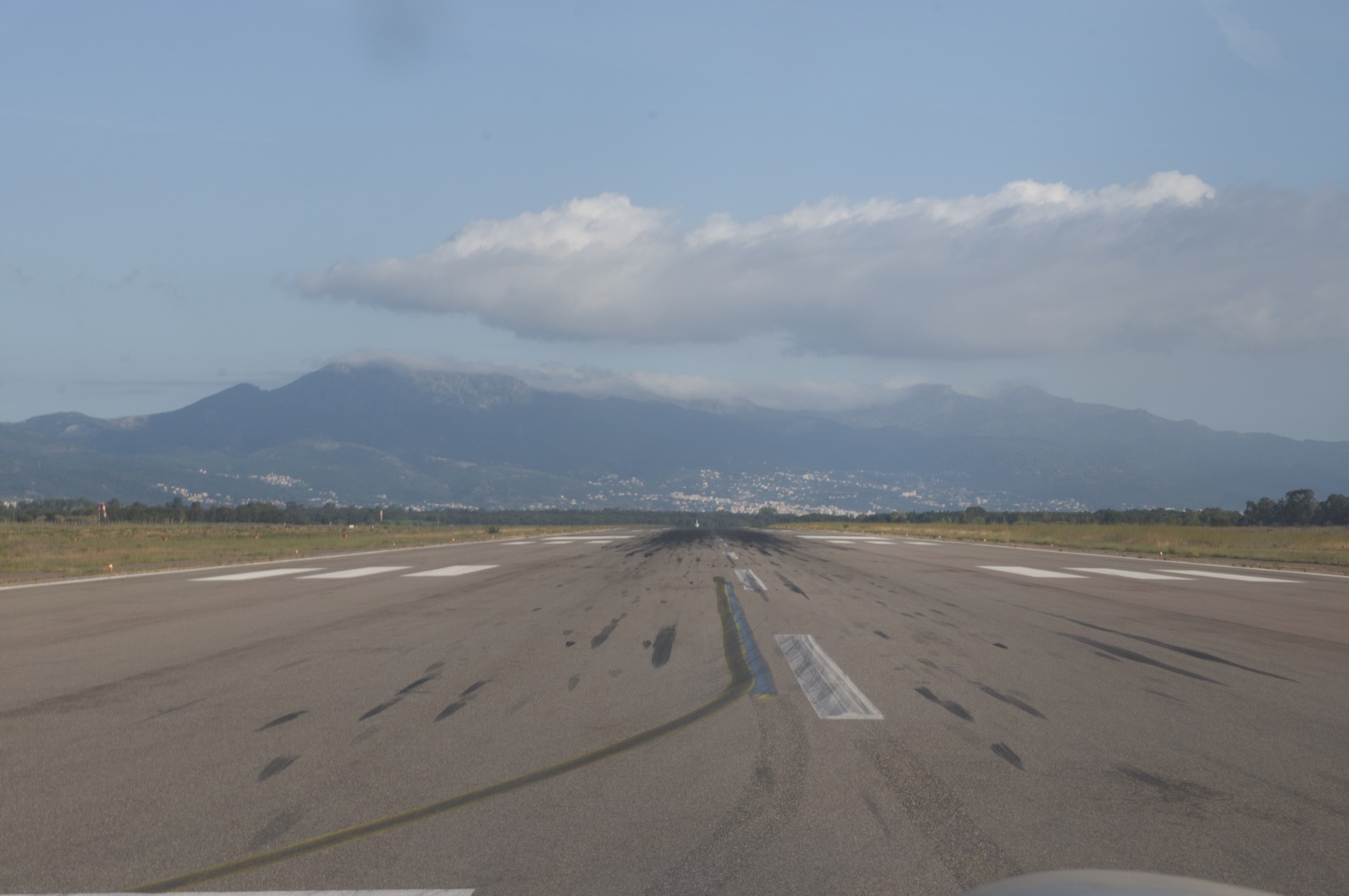
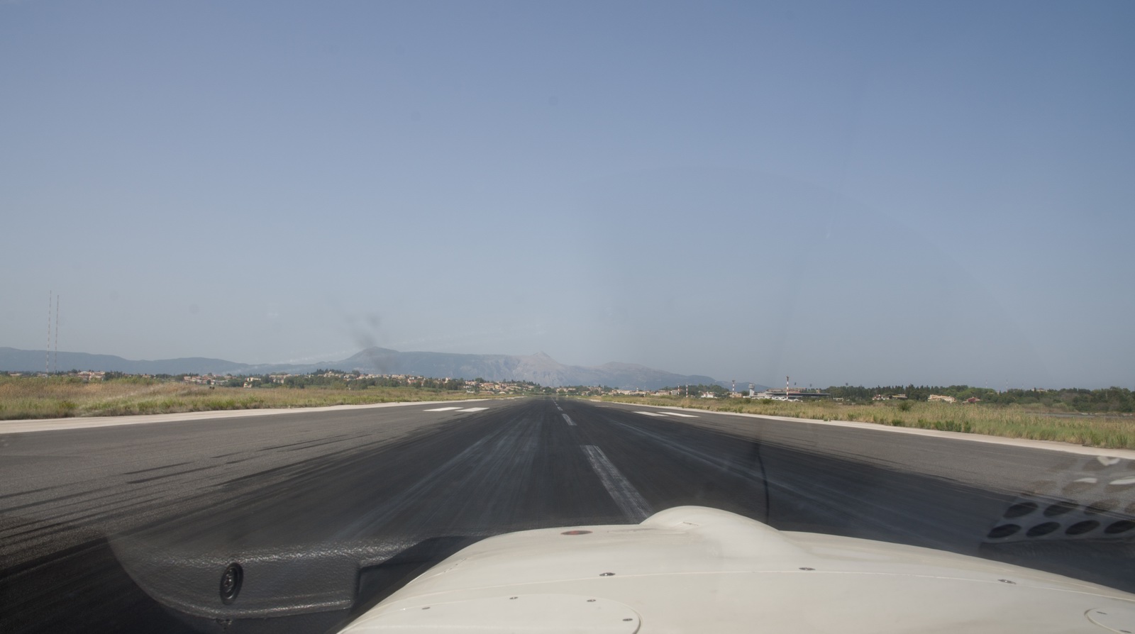
I got a NORKA6N SID FL100 and they were pretty specific to make sure you flew it, watching you on radar. Vectors to the ILS are not available, however, which is bizzare...
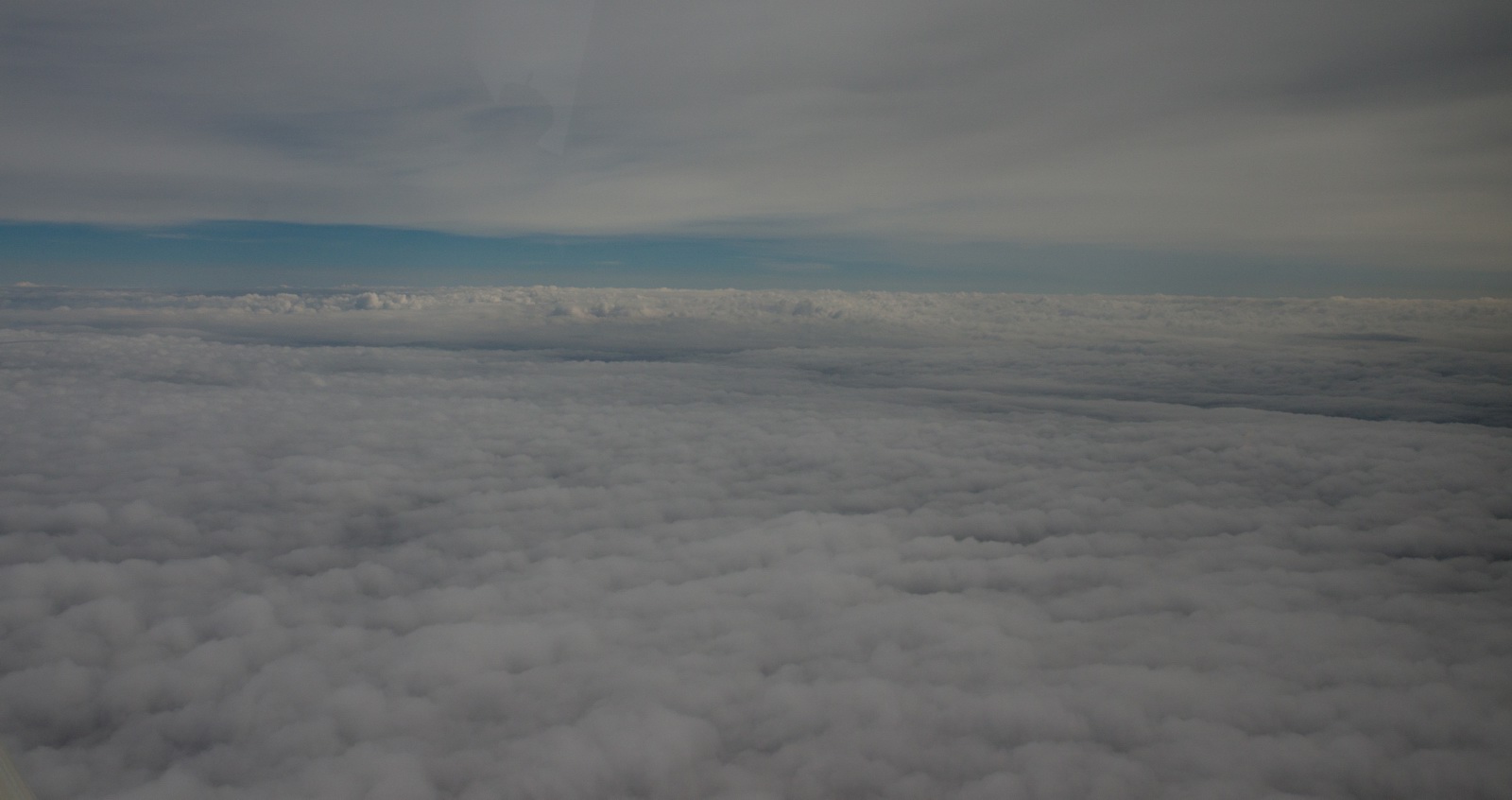
This was the only IMC on the whole flight, but I had to work pretty hard to achieve that and to keep out of a lot of nasty icing conditions later on...
FL100 now - the initial cruise level
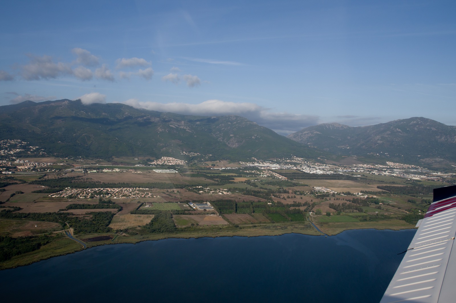
Looking back towards Bastia
Calvi - September 2014 EuroGA fly-in - is coming up on the left, and the LFOB of 20 USG is spookily close to the final figure I landed with.
Calvi airport is visible here
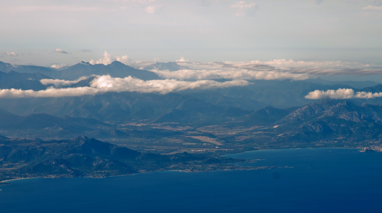
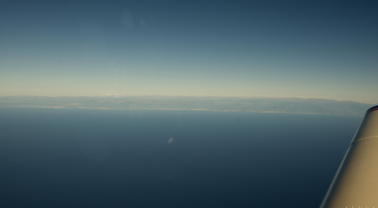
The last of Corsica
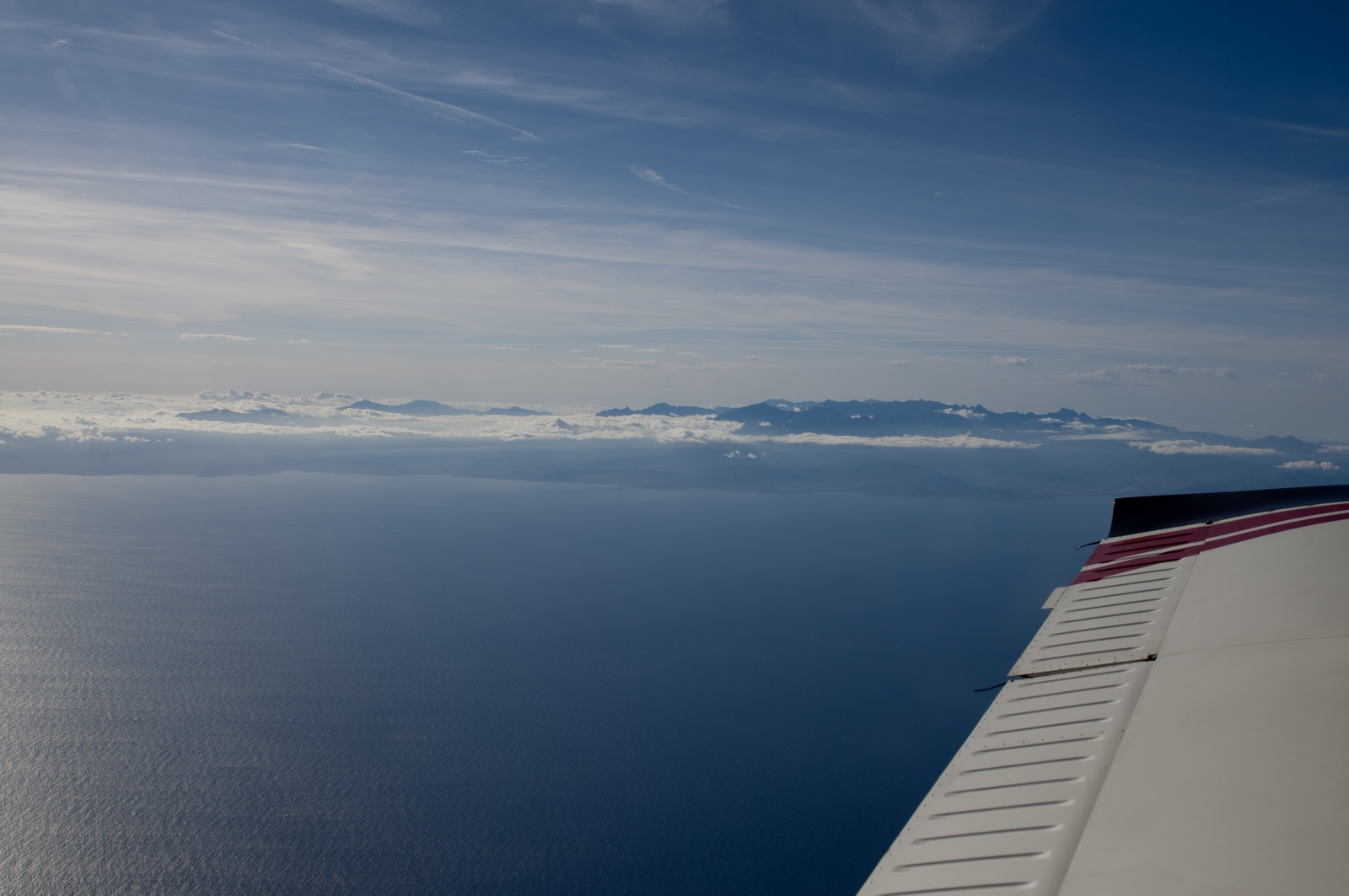
Here is France
French ATC were totally rigid on routing and I got a DCT STP which took me way off to the west. They said a I asked for a climb to FL140 they repeatedly ignored the call, which is outrageous. The flight plan was validated at FL100 but in retrospect I think this is wrong in as much this is yet another case of a country not telling Eurocontrol their full internal rules…
I could identify this airport from the EXIF data in the photo (UTC time) and the GPS track...
Eventually at STP I got a DCT MTL which was a lot better. The headwind was constant, 10-30kt, but being from the NW it was obviously less relevant when flying on a northerly heading. The LFOB climbed up to 28 USG
Southern France is a lot more scenic than northern France
Finally some good shortcuts arrived; this time MTL-MOU and finally we were going in roughly the required direction. Clearly the way to "play" to Nice ATC system is to be at/above FL150 before calling them...
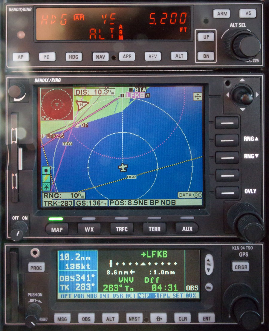
This radar image, obtained over the Thuraya satellite phone connection, from a private site which strips off the various advertising and presents the data in a compact form suitable for a less than great data connection, shows the overall picture. We flew to the west (to the left) of it, clearing it very well once over the Channel.
The Thuraya XT phone worked pretty well on this whole trip. I had to top up the balance ($170) because the stupid google cache spyware plug-in in IE10 wasted the previous topup. Now I have the tablet's Thuraya connection firewalled to block all outgoing IPs except the one private weather site.
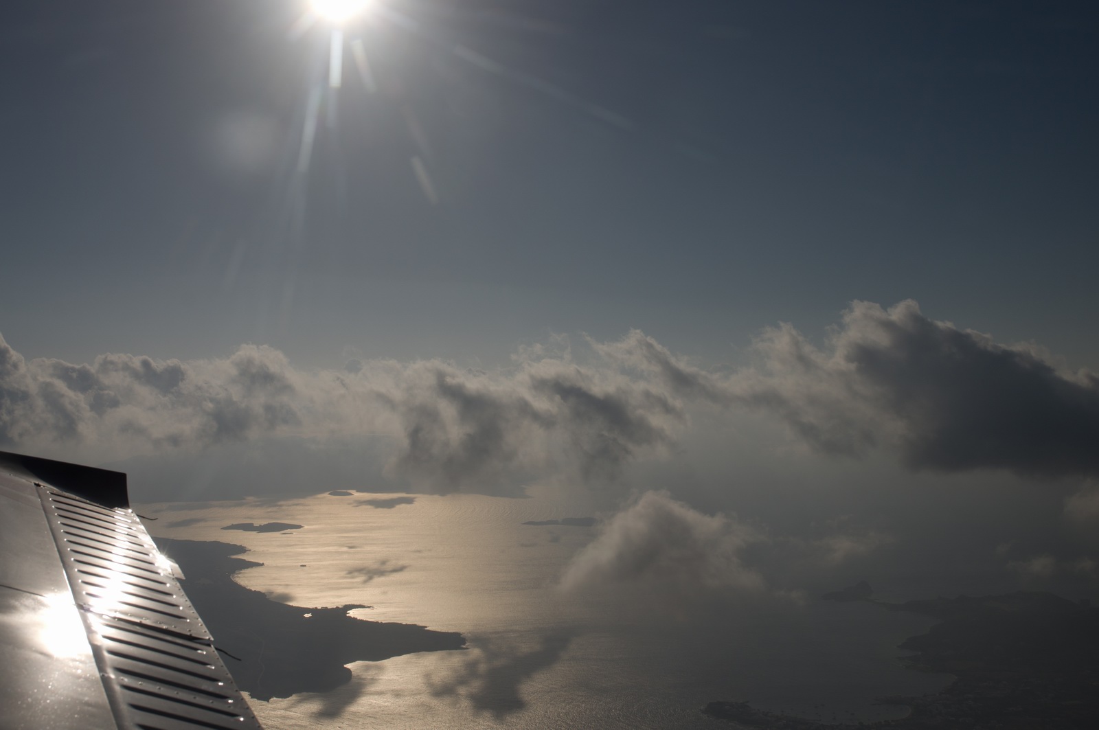
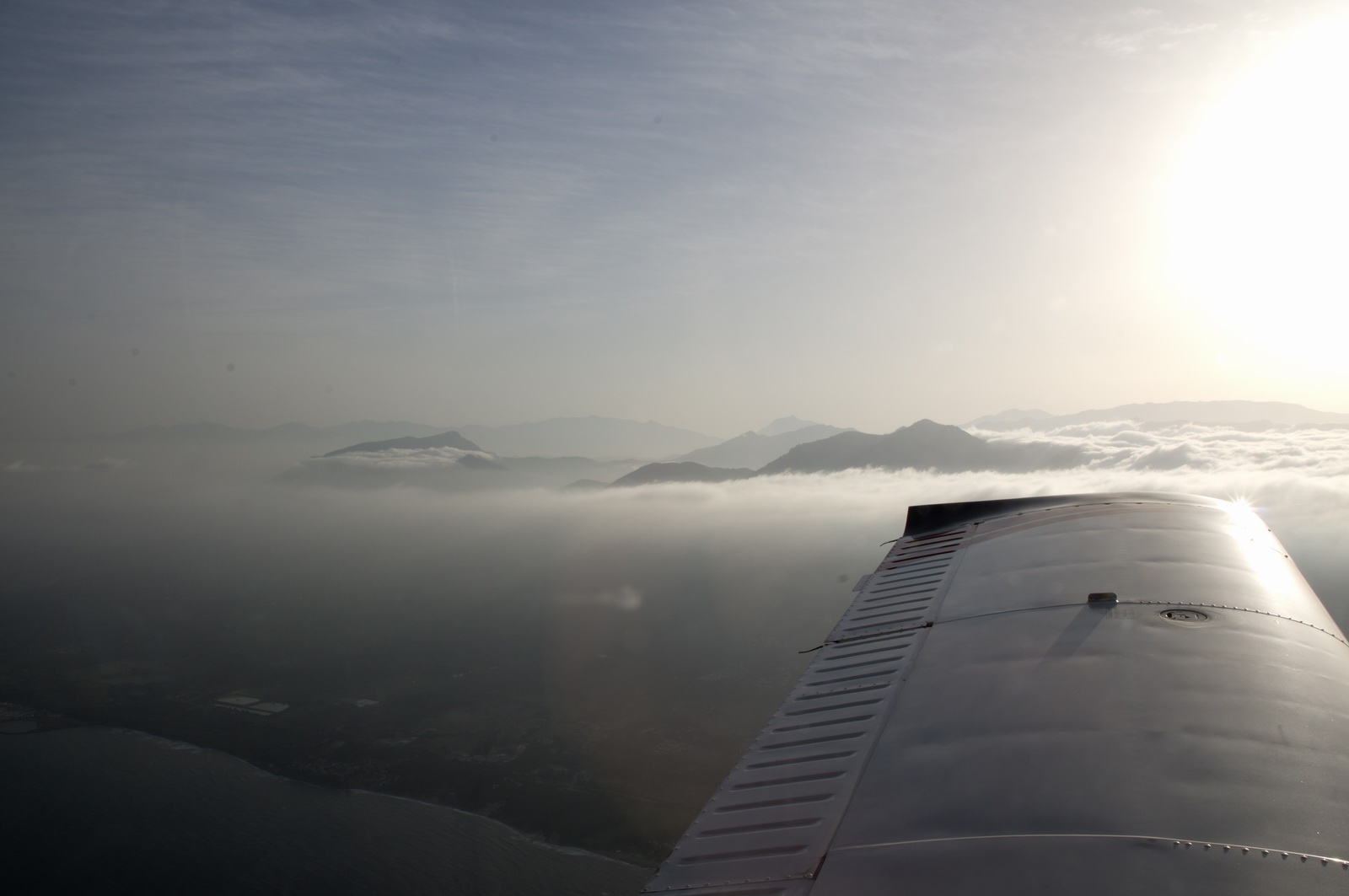
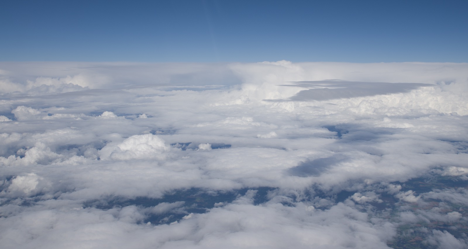
Bigger stuff ahead… time to climb above it. This was the first part of the band of wx which was to get a lot thicker near the UK
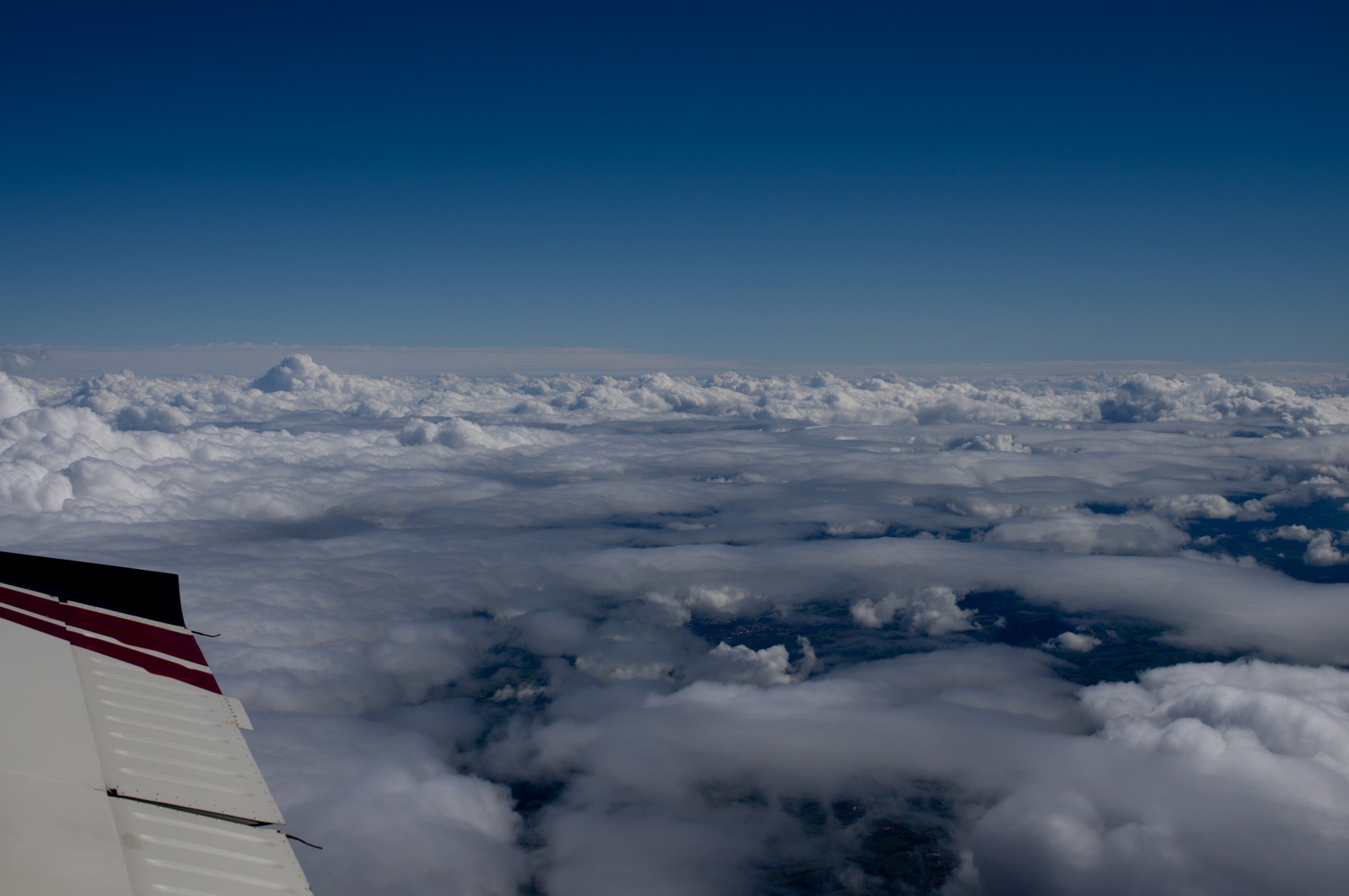
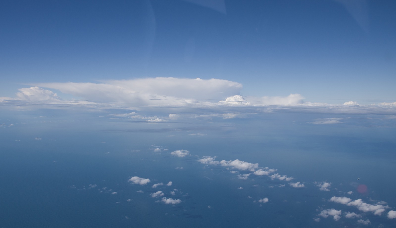
These were not very powerful CBs, with tops around FL250 and only one or two strikes on the stormscope
Now at FL210. I have done this several times but never been higher. The blood oxygen level was 97% and with a heart rate of 85/minute.
At FL210 we were doing 135kt TAS at 8.5 USG/hr, -25C, 4 degrees UP pitch. It’s not a fast way to travel but it is a viable tool to get above this sort of weather.
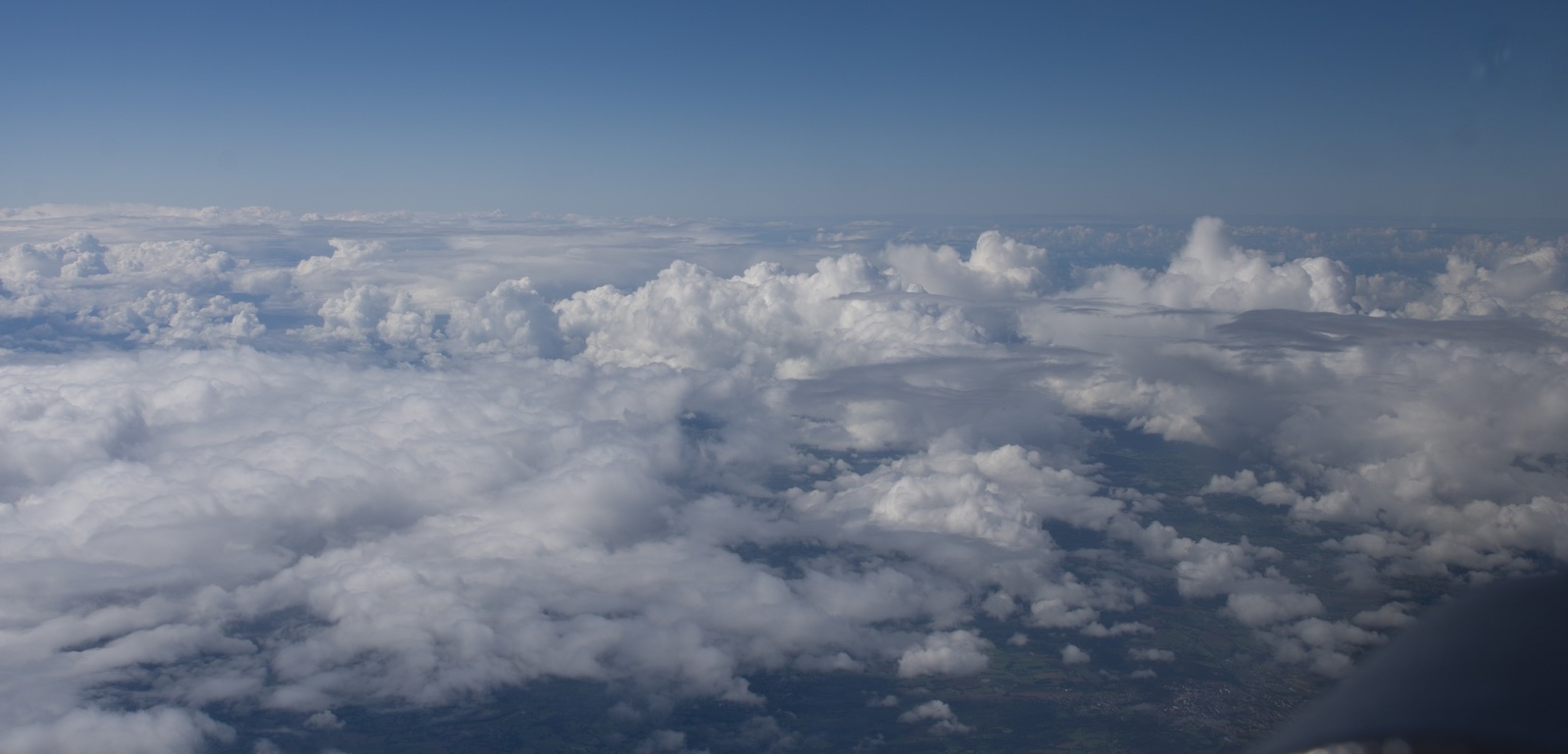
Finally we are the other side of it, and it cleared up so I started a descent
The only way to reach Shoreham without getting into something nasty, or descending down to a low level over the sea, was to go through the "permanent" danger areas. London Control were very helpful. There is almost never any activity there anyway; the military keep them because if they don't use them they lose them…
It was great to be back home. Trips away are great but nothing beats being
back home and having a nice long bath and getting a decent sleep in a proper
bed ![]()
Getting this photo is also quite satisfying ![]()
Route actually flown (in black):
Landing FOB figures on this trip were (USG):
Portoroz 28.7
Brac 66.2
Athens 44.9
Milos 74.9
Skiathos 59.4
Corfu 42.7
Bastia 39.7
Shoreham 22.3
Fuel burn in cruise is approximately 10 USG/hr, at 140kt+ TAS, so the reserve fuel was always very adequate.
Observations
Having landed at Shoreham after the last leg of this trip, I found the oil level very low - around the "5" mark. The lowest permitted is about "2" but it was obvious that an unusual oil burn (or some other form of oil loss) had taken place, probably on that last flight. The oil burn on that last flight was around 1 quart (1 litre) every 1.5hrs which is about 3x to 4x my historical average usage.
A rather long account of what followed is here but to cut a long story short I did a lot of investigation to eliminate various possibilities, and it was concluded that that last flight, with it's long low power portion (FL210 is about 40% power) and without the interspersed higher power low-level flights which I normally do between long trips, and with the previous long trip (Malmo, Sweden) also having ended with a long high altitude flight, all together clogged up the lower piston rings with deposits.
This is not a common condition but then very few pilots of non-turbocharged aircraft fly at such altitudes ever, let alone with a close spacing.
The problem was fixed with a combination of some 10 hours of high power (85%) low level flying, which reduced it partly, and flying about 18 hours (two sessions of 9hrs each, with an oil change in between) with 1 litre of Mobil 1 0W20 motor oil. This was recommended by an engine specialist because the motor oil has special detergents which can unclog the rings. These detergents are partly the reason why car engines can go without an oil change for 20000 miles. The motor oil finally brought the oil loss down to about 1 quart in 5hrs, which is good. Oil analysis was done at each change and was good. This method is not recommended to be used long-term because the motor oil can eventually create unwanted combustion chamber deposits which could cause pre-ignition!
Greece remains perfectly accessible to GA but obviously an aircraft with a reasonably good range is required. You cannot usefully fly around Greece in a Cessna 150! Everyone was really friendly but I do wish they reduced the paperwork, most of which serves absolutely zero purpose. The GENDEC for example is just a pointless record of the flight and half of the airports either don't give it to you or never look at it. The only bit of paper which is needed is the invoice for the charges, and a receipt (a signature on the invoice, maybe) proving payment which the pilot should keep for at least a year in case the airport later claims that some fees were not paid. I have had that happen to me but only in northern Europe.
Other than the oil issue above, the aircraft performed perfectly. The versatility
is ideal for this mission profile, although obviously a Jetprop
would be better for the long legs ![]()
Other than as noted, no general aviation aircraft were seen airborne on the entire trip.
The oxygen used on this trip was about 1/3 of the 48 cu. ft. cylinder. But without oxygen I would have never attempted it because one cuts off half of the aircraft operating ceiling and in the wrong conditions could spend most of the flight in icing conditions and turbulence. Normally I fly VMC on top but on Eurocontrol routings that pretty well mandates oxygen.
New Developments
This flight provided another good opportunity to test the amazing new weather facility delivered over the Telegram messaging function (available free of charge to users of the EuroGA autorouter). It can deliver the usual TAFs/METARs and various graphical products including the GRAMET forecast profile. You can find details of this on EuroGA - search for "Telegram".
The Telegram app is available for smartphones running Android or IOS, and exists in desktop versions (Windows and Mac). It is similar to the much more popular Whatsapp instant messaging app. The weather facility was originally implemented on Whatsapp but Whatsapp prohibits delivery of any machine generated data, and they banned it within hours. Telegram specifically enables this usage and has various improvements over Whatsapp. One of them is an instant concurrent and very slick sync between an app running on a phone and an app running (on the same user) on a PC, and the PC app works even when the phone is offline. Another is better privacy, especially after Whatsapp has been taken over by Facebook so Facebook now has everybody's mobile number and is using the data to trawl for "people you may know"... These instant messaging (IM) apps are taking over from SMS for various reasons. They work over any mobile data connection and thus - in nearly all situations - they offer a far more reliable delivery. For person-person messaging, you can tell when your message has been actually seen (when it is presented on the phone, on top of other apps, with the screen saver off, etc). With SMS you can tell only if it has been delivered to the phone. More info here
The Telegram app needs an internet connection and there is no magic solution for that using cellular data above a few thousand feet, but on a flight of several hours one can get maybe a dozen opportunities for it to get online and send/receive the messages. It works best in mountainous regions (where the mobile towers are configured to point slightly upwards, and works much better where LTE (also called 4G) is available. 4G is a separate network from the normal GPRS/3G networks and - crucially in this application - is much faster in setting up the connection (the whole DHCP etc process happens in about 1 second).
However, for high reliability a satellite phone is still required and I use the Thuraya XT. This now has Windows 8 drivers and I use it, over a USB connection, to get a 50kbit/sec data connection with the Lenovo T2 tablet. At that speed one can access most weather websites, although I tend to use a couple of private sites which access the well known ones and strip off the advertising. The cost is about $6/MB which is very reasonable for this application.
The Telegram app does work over Thuraya too although it takes a minute or so to initially connect, due to the amount of data transferred. It does continue to transfer quite a lot of data afterwards even when there are no messages so it's a good idea to not leave it running unless needed. Unfortunately it cannot be closed totally; one has to terminate the telegram.exe process in the Task Manager.
Due to the fast user interface (WX EGKA EGKB EGKK EDDM LOWX delivers the TAFs and METARs for all those airports in about 1 second) I use the facility routinely for ground briefings too.
Gadgets
No trip report can be complete without this bit ![]()
Most of the photos on this trip were taken with the Pentax K3 DSLR with the 16-85 lens and this totally outclasses anything which is pocket-sized. Some of the ground photos were done with the Samsung S6 phone which at time of writing has the best camera of all phones in current production. Some were taken with a Nokia 1020 phone (40MP downsampled on a PC to about 10MP) and another Samsung phone. The Pentax photos were taken from the phone in DNG raw (the camera takes jpegs to one SD card and raw to a second SD card) and processed in Lightroom to crop, de-haze (using the Blacks function), horizon-straighten, and to de-noise any where the ISO was above about 500 (I use the TAV mode mostly i.e. fix the shutter and the aperture and the camera sets the ISO). All the photos are otherwise unretouched. The other program I use instead of Lightroom is ACDSEE PRO which is easier to use in the way it can be used on any randomly chosen picture folder (whereas the Lightroom workflow is a lot more formal) but most professionals use Lightroom and once you are working on a project comprising of say 100 photos it just works better.
I am especially glad I lugged the Pentax with me on the ground, because the photos are just so much better than what any phone can do. It is also much better for airborne work because of much better manual control and an improved ability to avoid reflections from objects in the cockpit
In theory one could do everything needed on a trip with just the Samsung S6 phone. It can be used to get weather, file flight plans, and do all the normal comms with other people. It can even take fairly "ok" photos. I have the Samsung Galaxy T705 8.4" tablet which works really well. It is functionally practically identical to an Ipad (which I have too, kicking around the house) but is much better for a "power user" because it isn't as restricted as an Ipad. For example it can be expanded with a micro-SD card; say another 64GB. Apple have never allowed any such storage expansion. The tablet also tethers perfectly to the S6 phone for internet connectivity. It also accepts a SIM card, so offers a backup for mobile data, which can be turned into a wifi hotspot for others to use.
The T705 tablet is also the only tablet I have thus far not managed to shut down by overheating in the cockpit. The various Ipads and the Lenovo T2 will shut down in similar conditions - sunlight shining on it if the cockpit ambient is say +25C. In-flight charging just makes it happen sooner. However, the T705 has a lot less processor power than the others. Most of the time this is not noticeable but it becomes visible on e.g. rendering PDFs which contain halftones - the VFR Approach Charts (VACs), especially the Jeppesen ones, can take 1 minute to open in some extreme cases. On the T2 the same PDF would open in about 5 seconds, and on a PC with 3.5GHz I7 processor about 1 second.
For written communications and for moving map usage, the T705 tablet is more usable than the S6 phone but in the end one cannot beat a proper laptop for sheer productivity, and I use a Lenovo X230-I7 which is does basically everything anyone could ever need and with the I7 processor is very fast - fast enough for movie editing/rendering and faster than most of today's ~3GHz desktop computers. The X230 is now obsolete and has been replaced by the X240-I7 and here is an example of a version with an SSD which is similar to mine which I upgraded myself with an SSD.
In the aircraft I run a Lenovo T2 10" tablet with Windows 8 and this runs everything needed. It could be replaced with an Android tablet but it is very fast in rendering PDFs (terminal charts, etc) and runs Oziexplorer which I use for VFR charts and the topo maps shown earlier in this article. It is also really solidly made. The current version of it is here.
My T2 has been configured specifically for flying use and is never used outside the aircraft. It runs Windows 8 whose user interface is a poor touch screen implementation, but it works fine because I almost never interact with it. I use it mostly as a moving map (running Oziexplorer), for interfacing to the Thuraya XT phone for getting weather, and sometimes for messaging and getting weather using the Telegram app (over Thuraya).
Mobile Internet
Nowadays this is vital for any "serious" flying trips. You need it for weather, filing flight plans, comms with airports, organising other people, etc.
Some time ago I wrote up this article but the landscape is continually moving.
The biggest change has been the availability of roaming data at a price which
is not outrageous for a 1-2 week trip. I use the Vodafone Euro Traveller package
which gives me my UK allowances all over Europe (not just the EU), and for £12/month+VAT
I have "unlimited" calls and texts to UK numbers, plus 1000MB/month
of data. It costs £3/day for every day on which it is used, so a 5-day
trip abroad will come back at £15. I still pay for calls and texts to
non-UK numbers but for £5/month+VAT I get 100 worldwide texts per month
free. The total of £17/month+VAT is way less than the average teenage
Iphone user is paying ![]()
This deal means I no longer bother with hotel wifi (which works at best 1/2 the time) or with cafe wifi (which nearly always needs a password but the waitress often isn't interested in telling you whether it is all lowercase, etc). I use these when they are available, and use them to backup photos etc.
One used to buy local data SIM cards and put them into a 3G/4G-WIFI modem such
as the E585 (or its successor E586E) but the networks
clearly dislike selling these to tourists, which results in utterly farcical
procedures such as this
one. Or spending 2 hours in a Greek phone shop where they need your passport
and half your family history - presumably an anti tax evasion procedure to make
it harder to run a small business below the radar. However, for a 1-2 week stay
in the same place, this is still a good option because you can PAYG deals like
5GB for €20, and since these modems can support multiple users, you can
just hang it up by the window in an apartment and several people can "bottom
feed" off it - even though hotel walls ![]() A variant of this method is to put the SIM card into a tablet which offers a
"wifi hotspot" facility; most of the modern ones do and I sometimes
use my Samsung T705 tablet in that way. Curiously, the UK is the only place
I know of where you can buy such data SIMs easily over the counter and they
"just work" straight out of the package.
A variant of this method is to put the SIM card into a tablet which offers a
"wifi hotspot" facility; most of the modern ones do and I sometimes
use my Samsung T705 tablet in that way. Curiously, the UK is the only place
I know of where you can buy such data SIMs easily over the counter and they
"just work" straight out of the package.
Traditional SMS is becoming less reliable, and people increasingly use Whatsapp. The Telegram alternative (mentioned above) offers a much better functionality but fewer people use it.
Airport Charges
I have not kept all the receipts so this is just a selection:
Portoroz: €67, avgas €1.94/litre
Brac: €94 (note: the 50% discount for AOPA is not evident on the invoice
I have), avgas €2.09/litre
Athens: €188 (after €25 discount for the Flying Week); avgas €3.26/litre
Milos: €0 (no price list available)
Skiathos: €29
Corfu: €24, avgas €2.92/litre
Bastia: €26, avgas €1.81/litre
Greek airports generally impose a €12 tax per passenger, which can be avoided if your passenger has a pilot license (I believe this will work for only 1 passenger max).
There is a 50% discount on handling fees with Swissport or Goldair if you produce evidence of AOPA membership. Same applies to Brac LDSB (see above). US AOPA will also do. More details here (para 12).
Flight times (airborne times)
Shoreham-Portoroz 5:30
Portoroz-Brac 1:30
Brac-Athens 3:45
Athens-Milos 0:50
Milos-Skiathos 1:10
Skiathos-Corfu 1:15
Corfu-Bastia 4:15
Bastia-Shoreham 6:10
I owe many thanks to Colm for being a fearless co-pilot and to my girlfriend
Justine for looking after me on the Greek islands ![]() and to other pilots who helped me to put names to some of the places down below.
and to other pilots who helped me to put names to some of the places down below.
This page last edited 27th January 2016