
Flight from Shoreham EGKA to Malmo ESMS, Sweden, August 2015
Malmo is a city in Sweden.
This writeup is a simplified version of my normal ones in which I go into more detail of each trip.
Pilot
FAA CPL/IR, JAA/EASA PPL/IR, ~2000hrs.
Aircraft
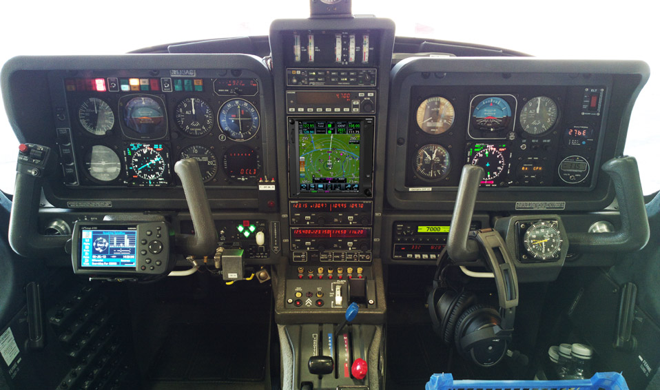
The aircraft is this 2002 TB20GT; one of the last made before production ended.
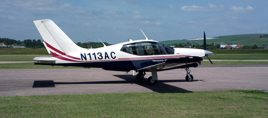
It is equipped for BRNAV (RNAV 5) and can fly ILS and GPS/LNAV approaches using the autopilot. Currently, this is sufficient for all practical European IFR flight. The cockpit is largely as delivered in 2002, with a Sandel EHSI installed on the LH side in 2011 and with the RH side reworked in 2013 with another Sandel EHSI and arranged to form a usable "pilot panel" so the aircraft can be flown properly from the RH side
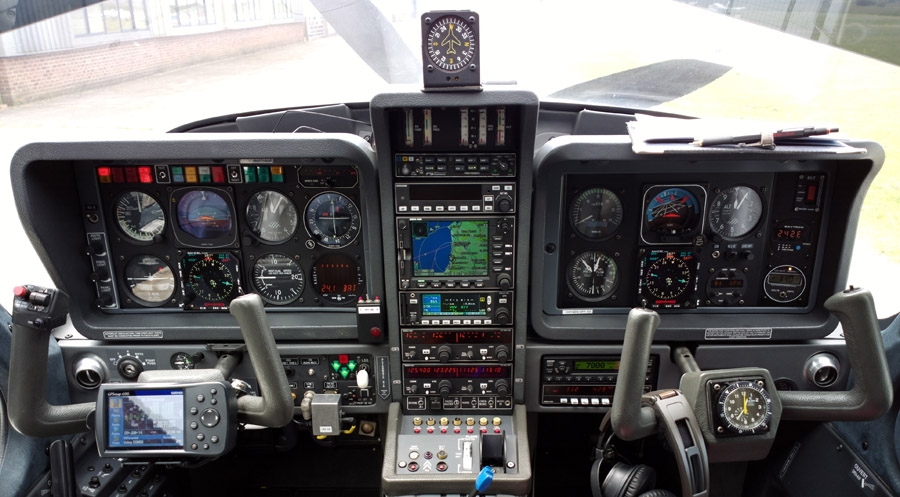
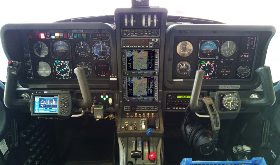
There is no LPV approach capability but LPV is not yet operationally relevant in Europe especially if flying to/from the UK which normally needs an airport with Customs (Immigration, to be precise, though "Customs" is the word normally used in the international airport context, and very few countries have airports which have one function and not the other). I expect this will change, especially when my base Shoreham EGKA gets LPV. Then I will be looking at spending serious money - either on a GTN750 or two IFD540s (photoshopped images). Neither is a good option... the GTN750's large screen area is lost while accessing one of its functions (you don't get the nice KLN94+KMD550 separation) and while the IFD540 is functionally better and having two of them would deliver great usability, it is currently plagued with bugs and QA problems.
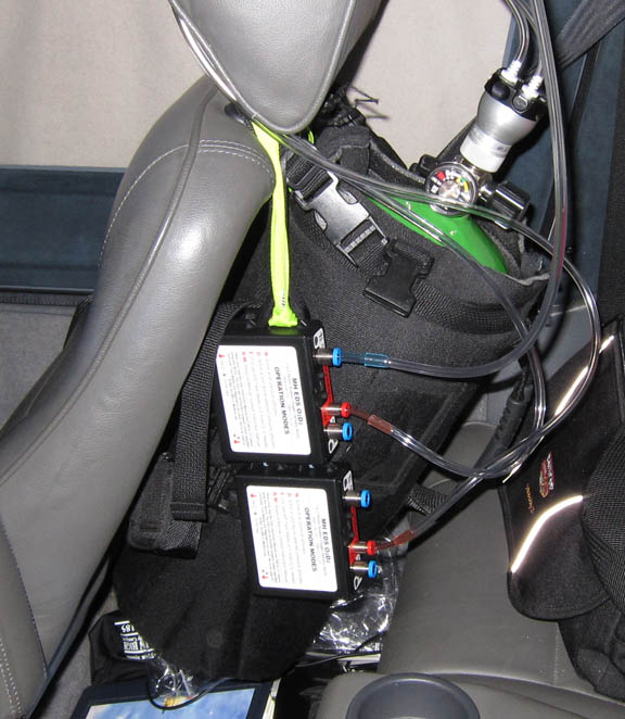
Oxygen is used on all IFR flights, with the Mountain High O2D2 electronic regulators and cannulas
In general, European IFR is only marginally feasible without oxygen, due to the minimum practical Eurocontrol routings. The two IFR legs on this trip were filed at FL100, which is my normal level when the weather is nice, but I had to climb to FL190 to get above weather on the way back. One can fly for hours at FL100 and it is legal but without oxygen one would end up very tired.
Routes
These were developed with the EuroGA autorouter which was also used to file the flight plans. This great facility is currently entirely free.
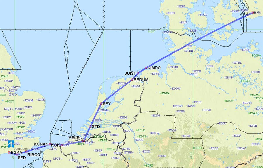
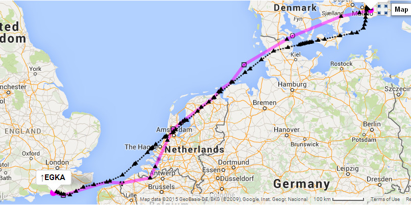
The outbound route:
EGKA SFD DCT RIBGO DCT KONAN L607 KOK DCT HELEN N873 JUIST P174 NIMDO
P999 ALS DCT EGABA DCT NISLO ESMS
FL100
GC: 566nm
Eurocontrol: 604nm
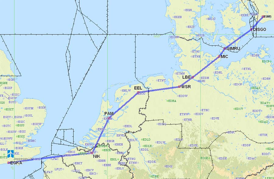
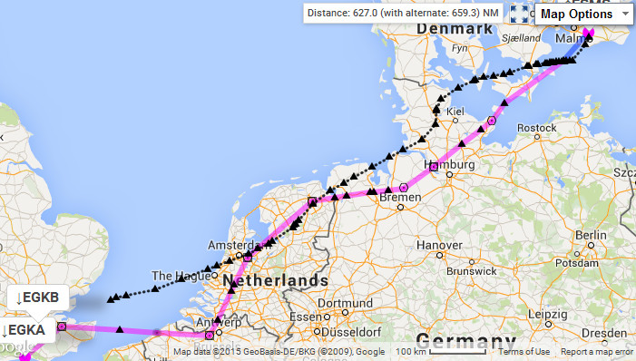
The return route:
ESMS DISGO DCT GIMRU T503 MIC N850 LBE N125 EEL N872 NIK DCT
OO DCT VABIK DCT DET EGKA
FL100
GC: 566nm
Eurocontrol: 627nm
Airport PNR/PPR
Malmo has Customs/Immigration so can be flown to directly from the UK. You
just file the flight plan ![]()
Outbound Flight Shoreham - Malmo 22nd August
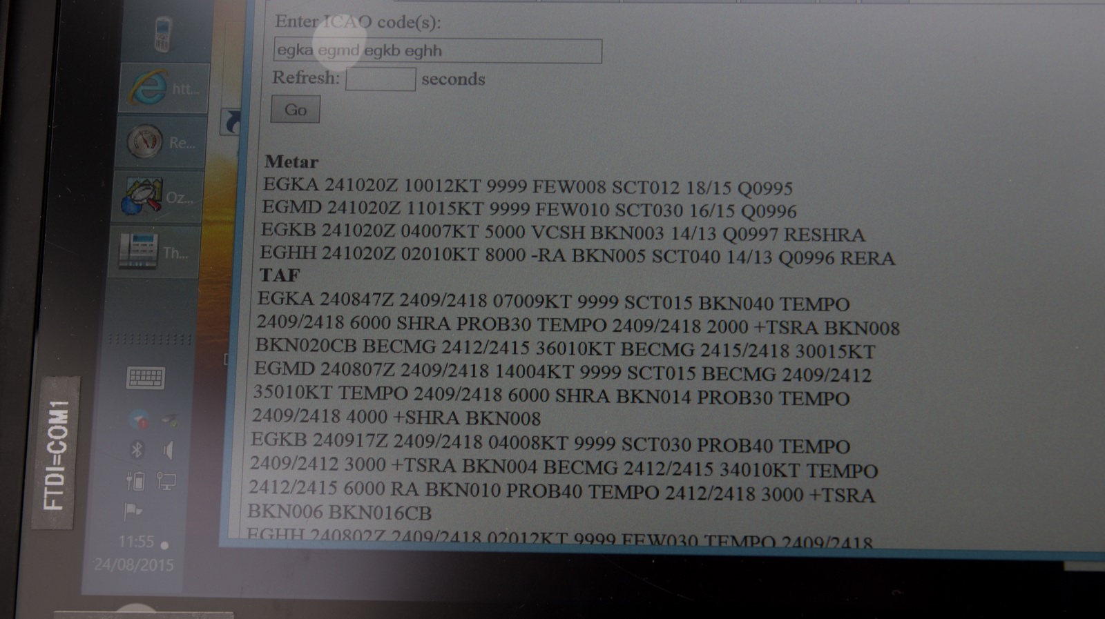
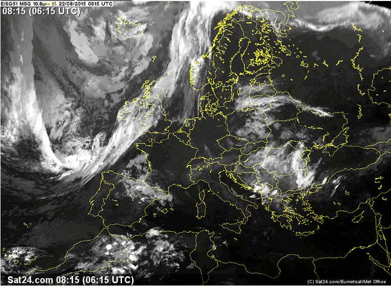
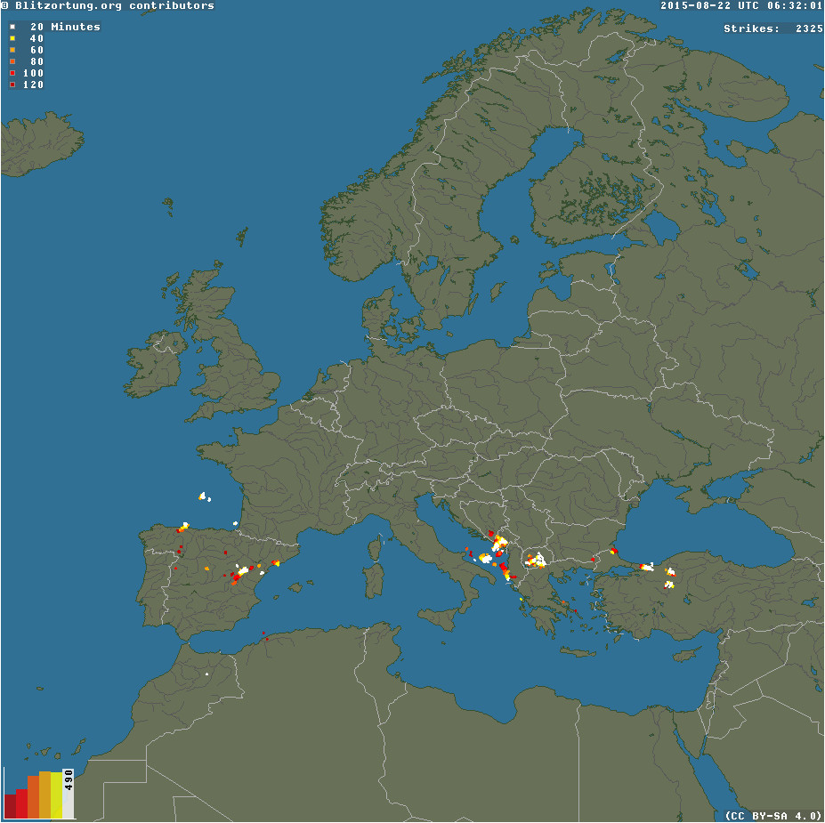
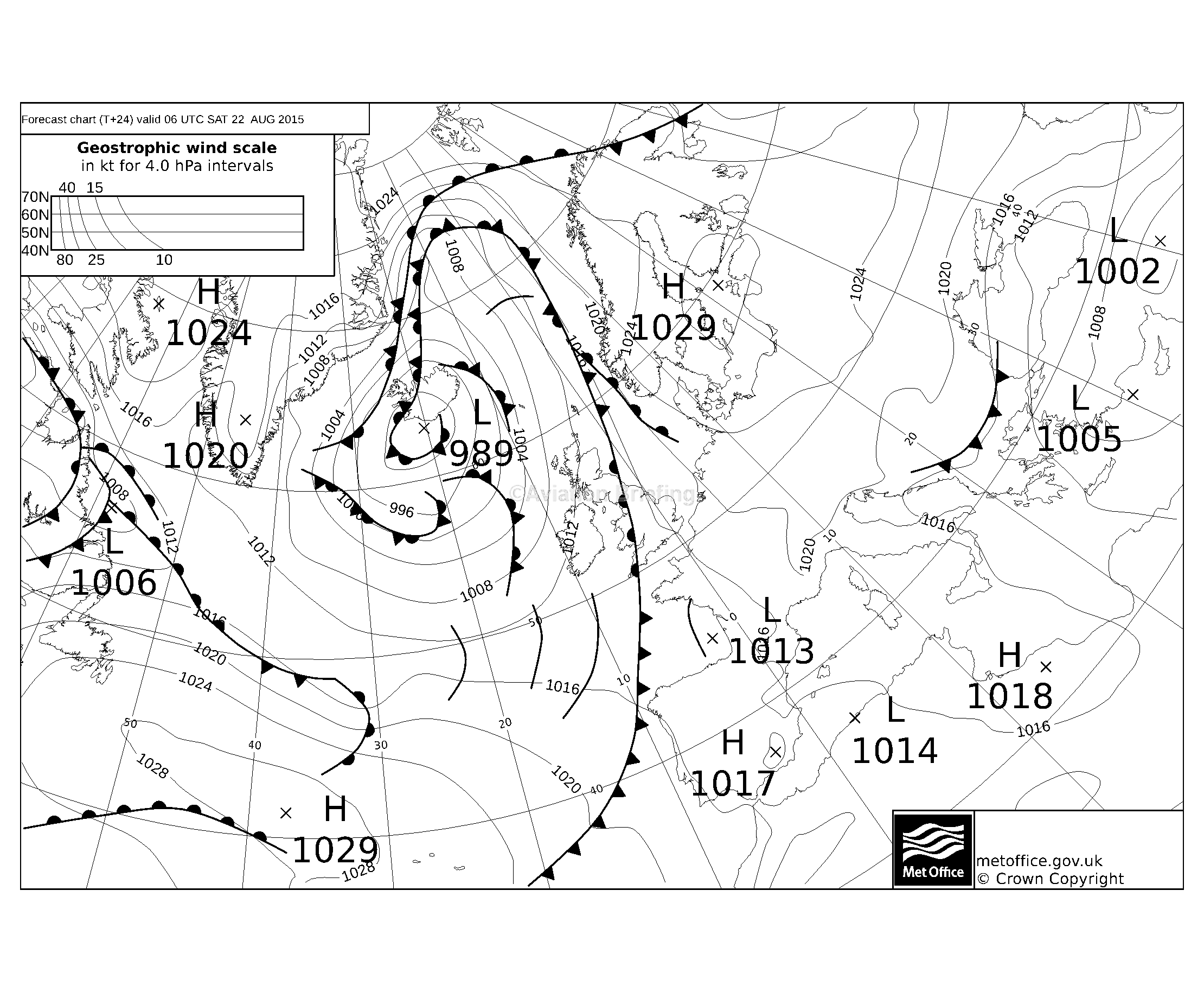
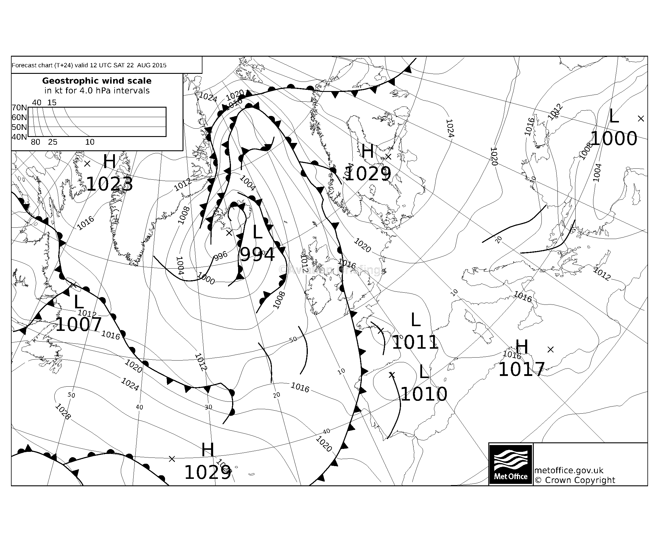
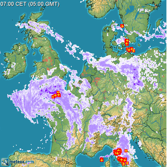
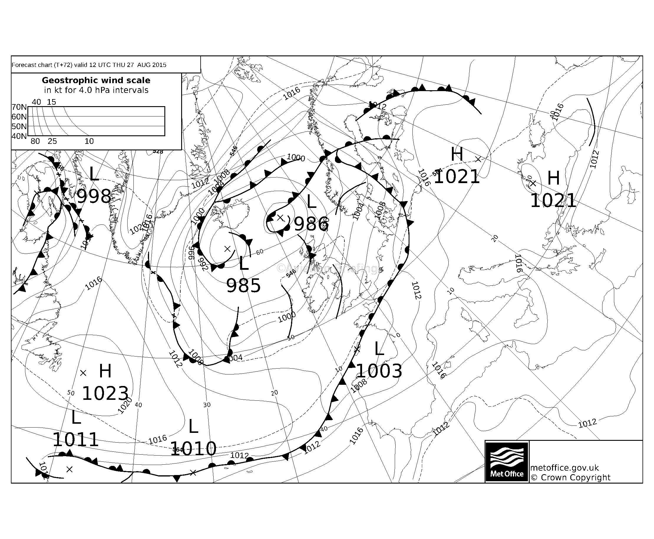
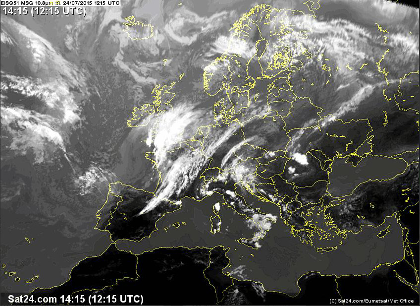
The departure weather was good: TAFs/METARs IR Image Radar Sferics MSLP 0600 1200
Looking at a few specs on the IR image, I was expecting some higher altitude cloud later on. The IR image is a powerful tool for the go/no-go decision in an aircraft capable of FL200. It is a "cloud top METAR" which has never failed me yet in terms of embarking on a flight and finding it unflyable as VMC-on-top, but sometimes it shows an excessively pessimistic outlook because it is seeing a thin cloud layer at very high altitudes (FL300+).
The router briefing includes (on page 5) a GRAMET. For this flight, it showed nothing of relevance. However, it uses GFS data (US weather model) which often fails to show nonconvective cloud.
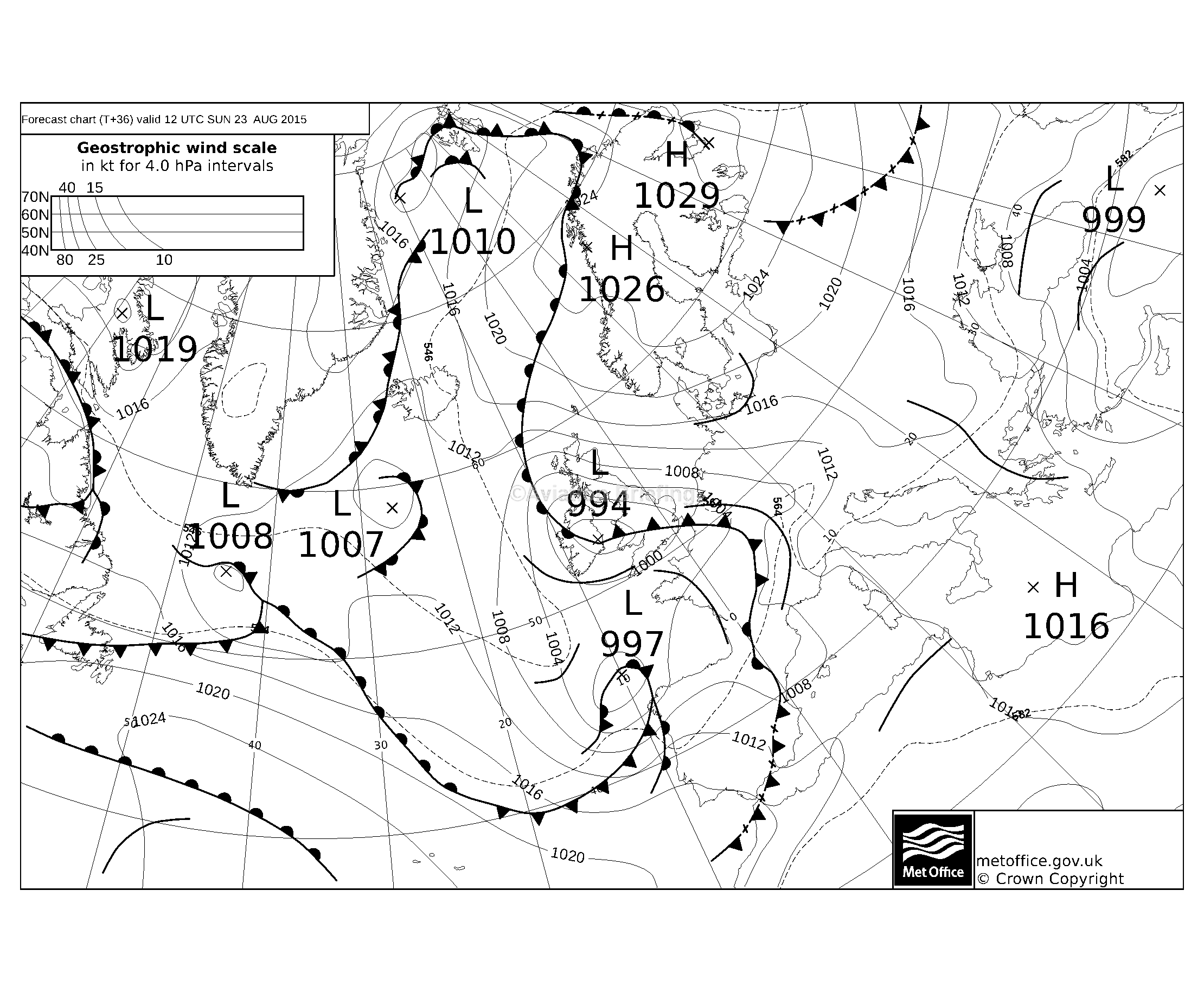
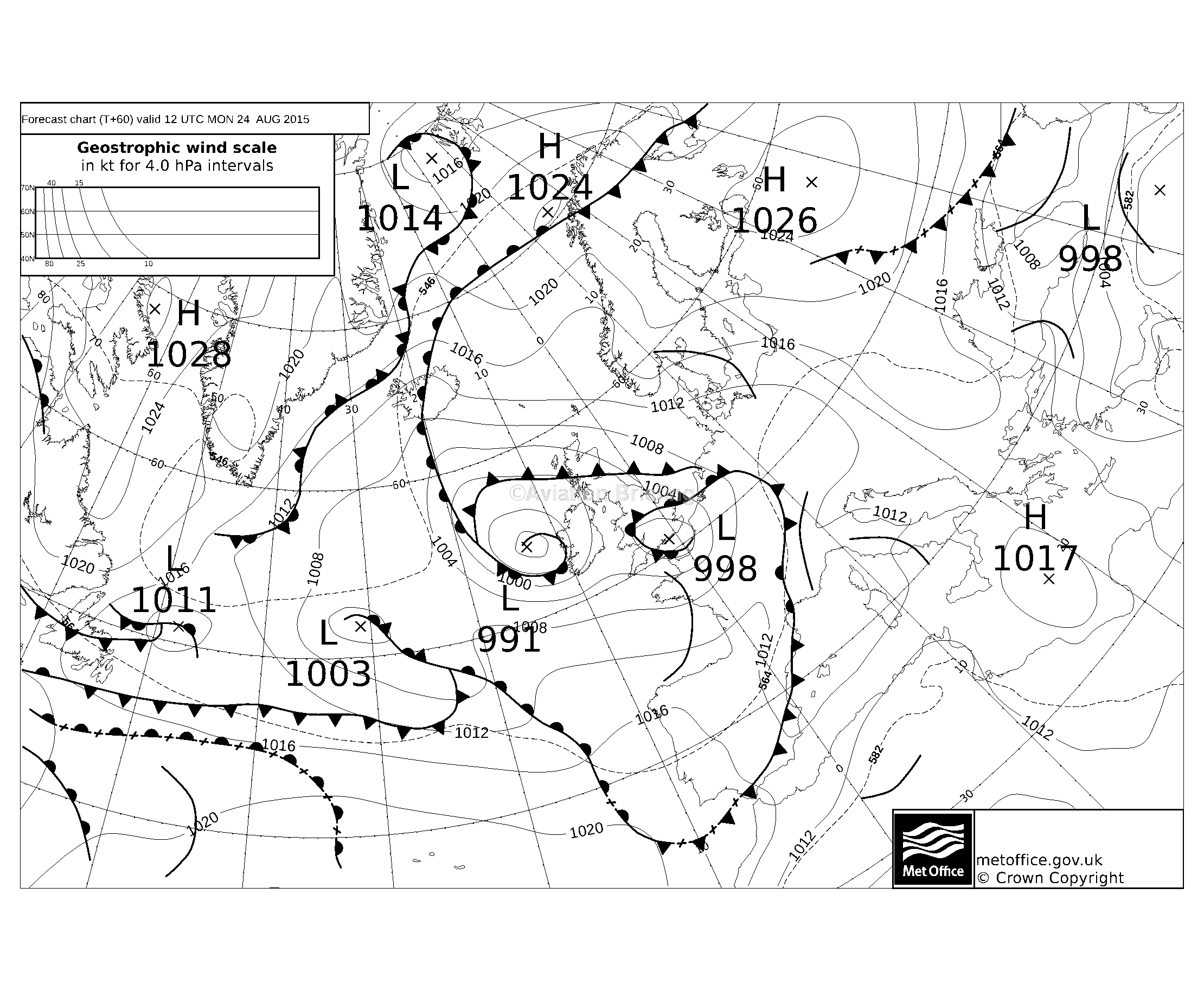
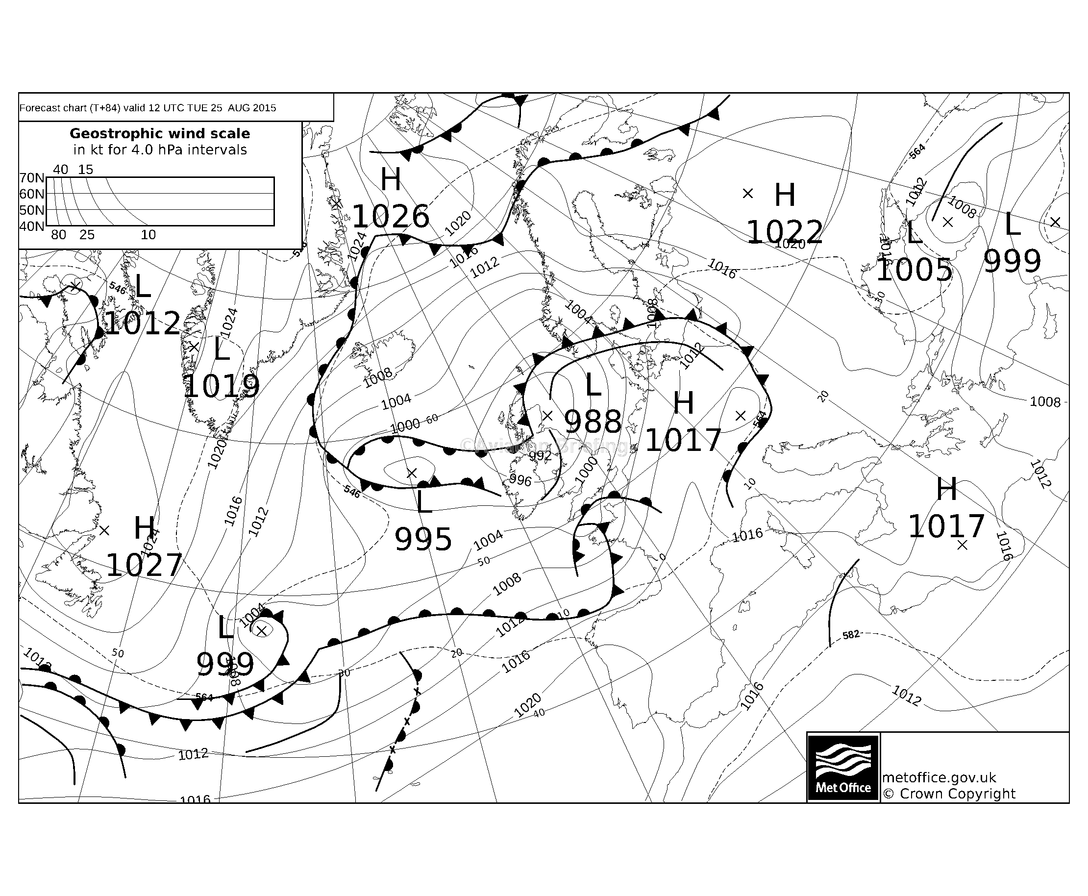
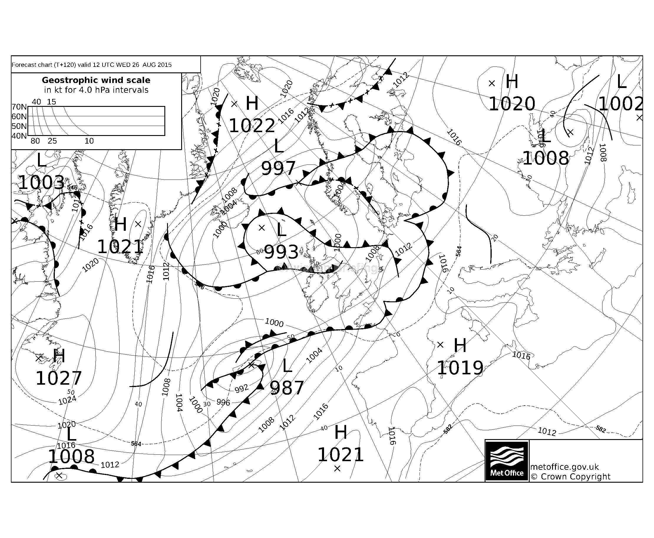
On any nontrivial trip one has to look at the options for getting back on the planned return date, and what does the picture look like for subsequent days in case the return has to be delayed: 23rd 24th 25th 26th One can see the return weather did look bad but with gaps appearing later.
Plan B for the return flight was to fly either below the 0C level which was forecast to be around FL100 (there is no terrain to speak of on the route). Plan C was to fly very low, say 1500ft, all the way back along the northern coast of Germany, France, etc, which can be done underneath almost any weather.
The Shoreham departure weather was nice. Initially there was fog but it dispersed by the time I got to the airport.
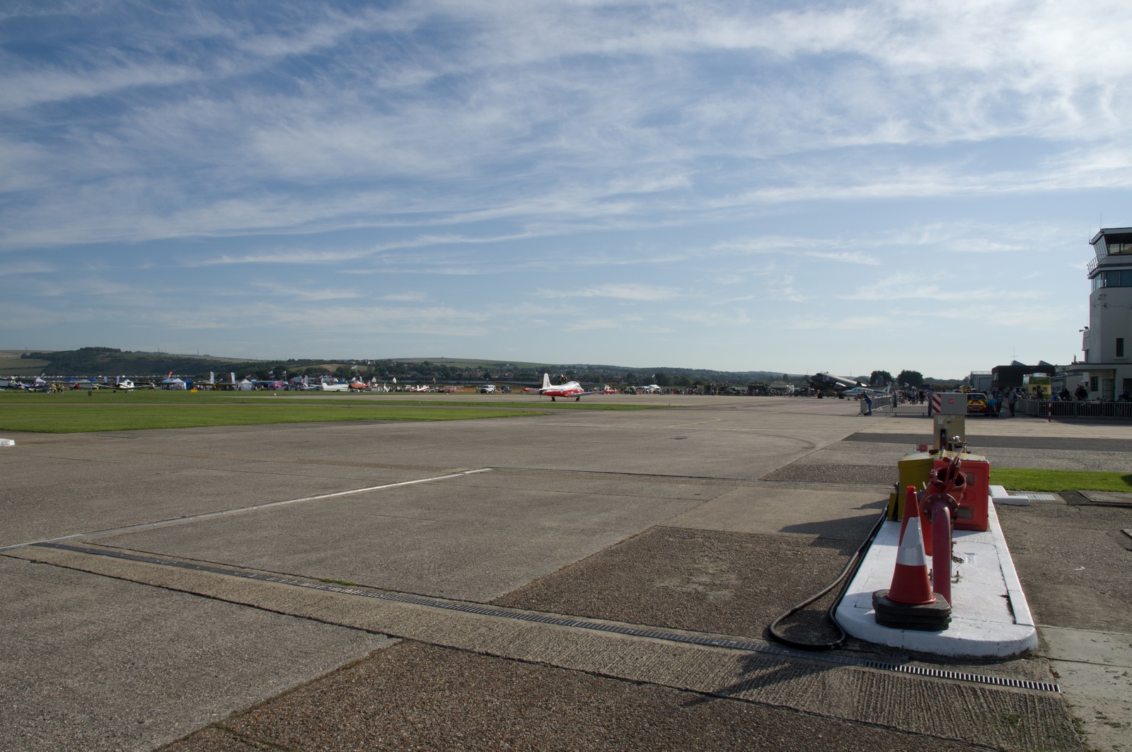
This was the morning of the Shoreham Air Show. Departures were allowed 9am-10am. This was also when the Hunter jet crashed there - it happened about 3 hours after I departed.
The departure clearance was the usual one: after departure, right turn, on track SFD, altitude 5000ft, QNH 1015, remain outside controlled airspace, squawk 2064, next frequency London Control 133.175.
Initially we got a climb into CAS, 6000ft, then FL080, then FL100.
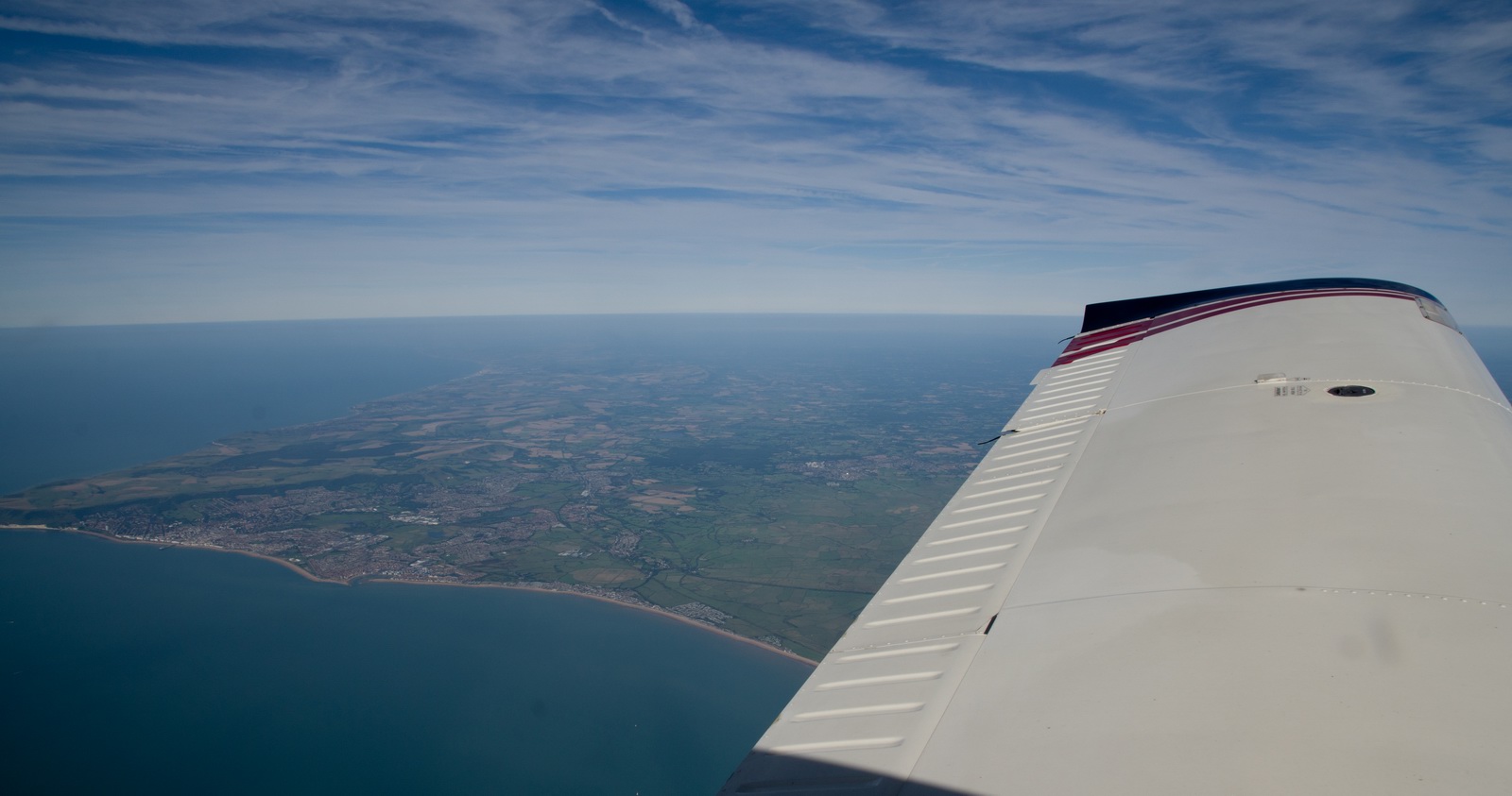

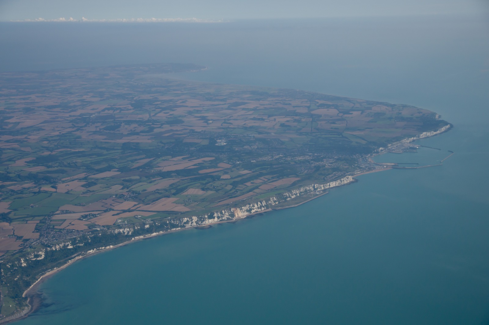
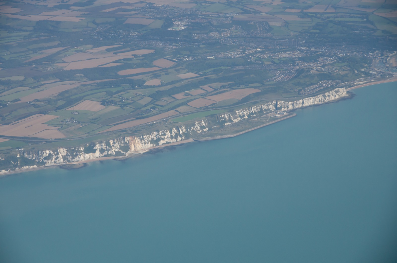
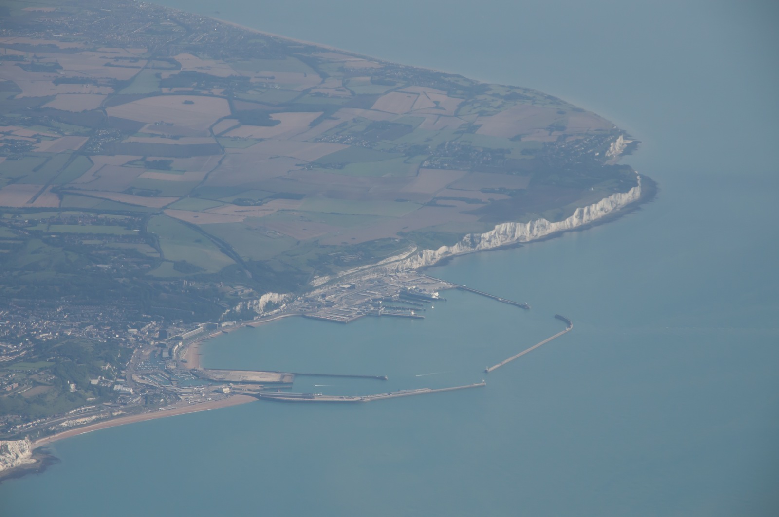
The cliffs of Dover, FL100
The next frequency was London Control 120.175, followed by Brussells 131.10. And so on...
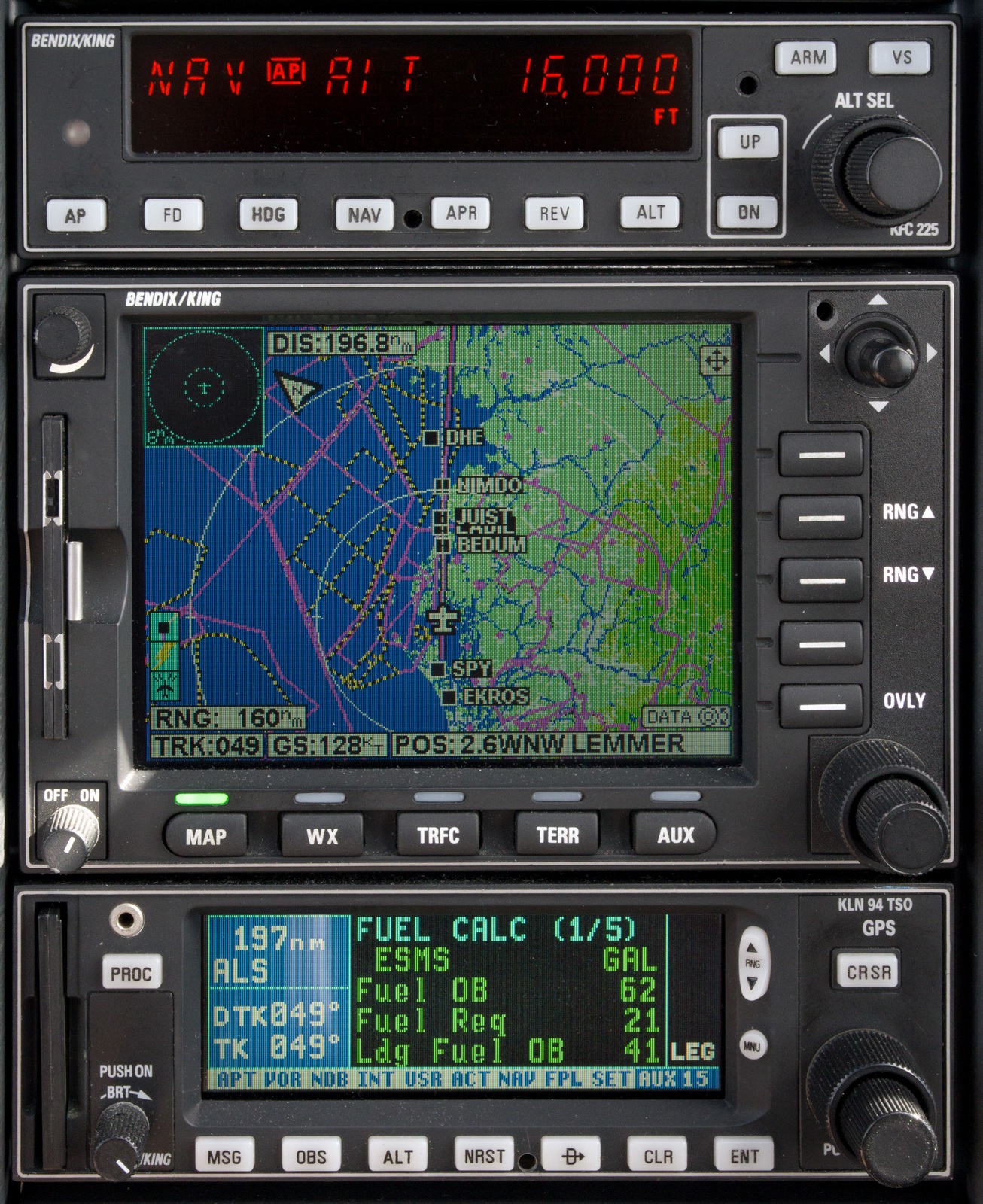
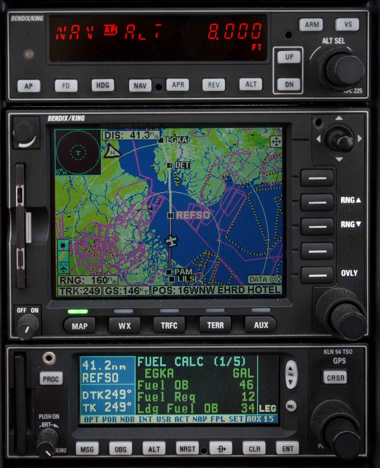
The LFOB (Landing Fuel on Board) showed 41 USG which is enough for about 4 hours.
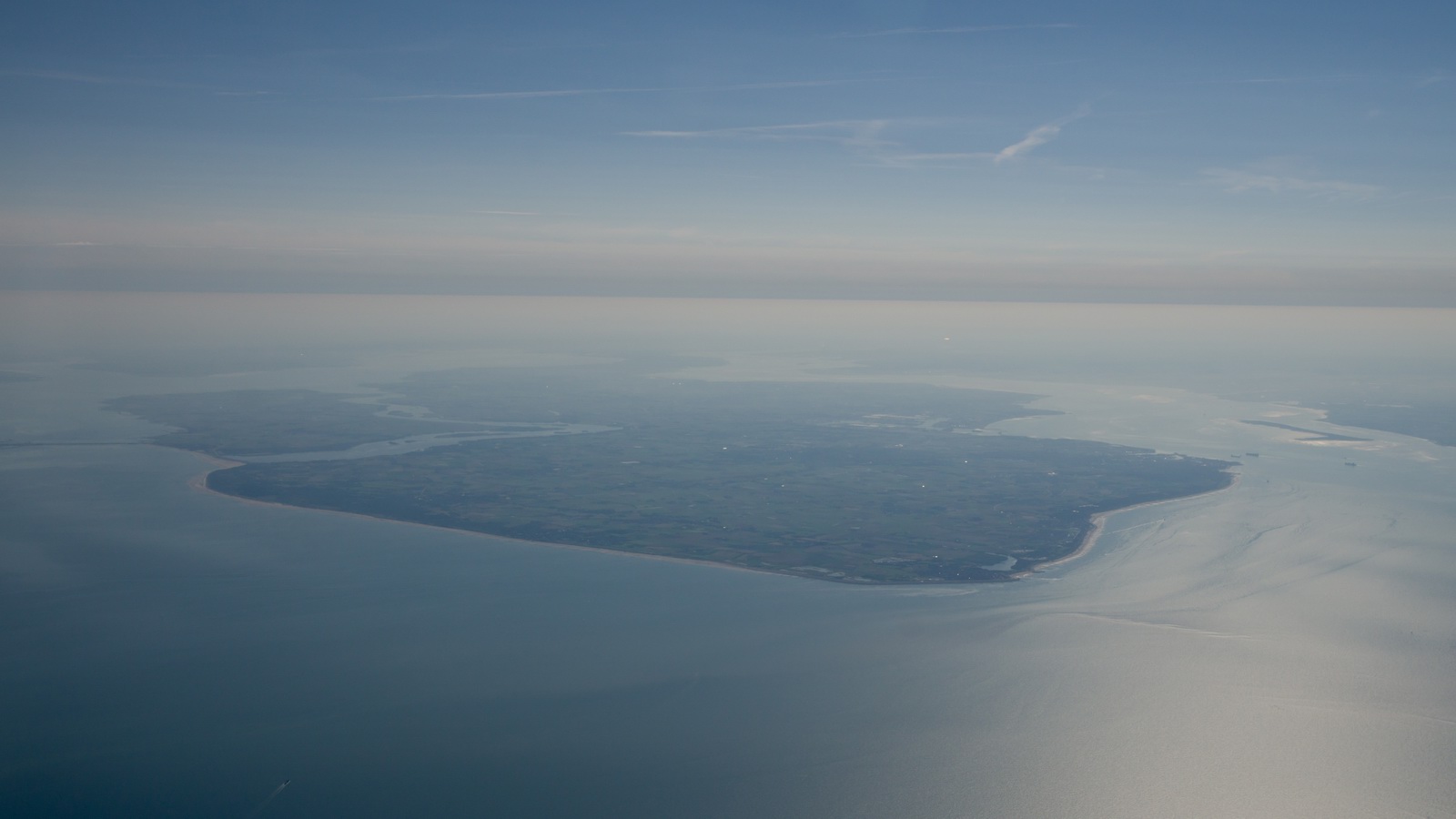
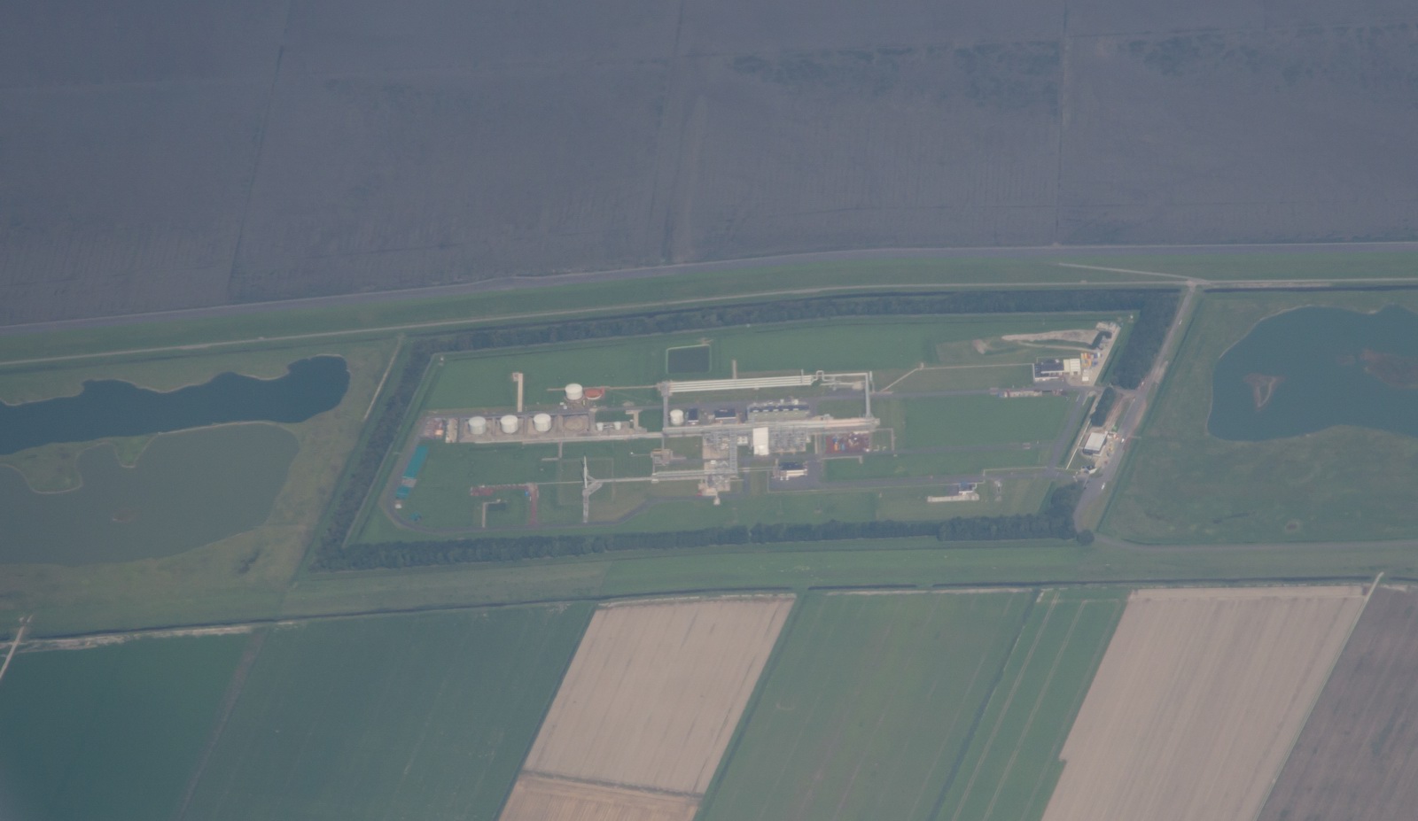
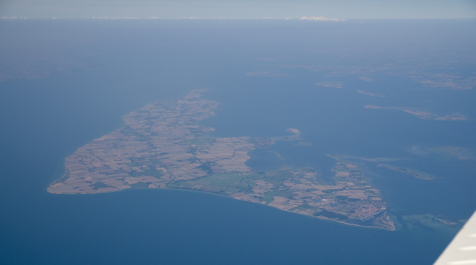
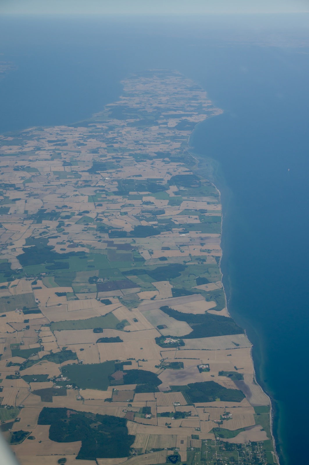
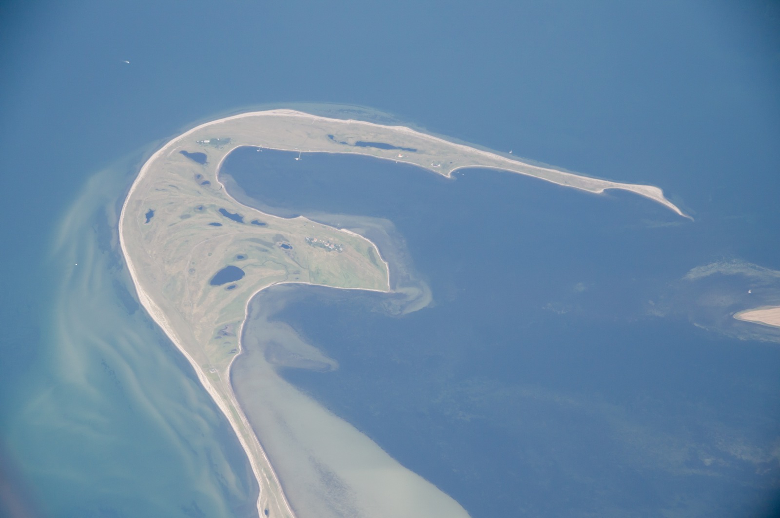
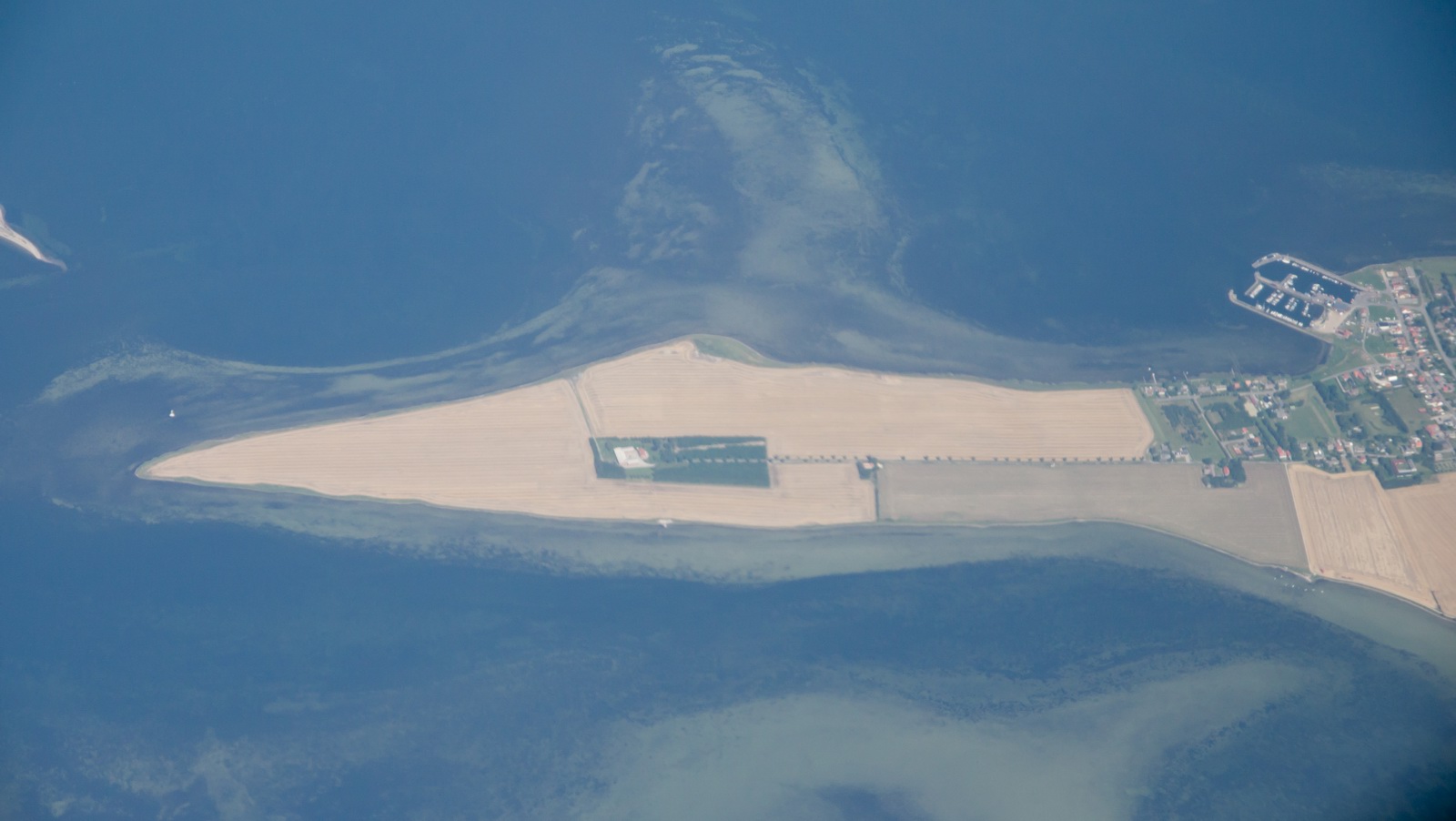
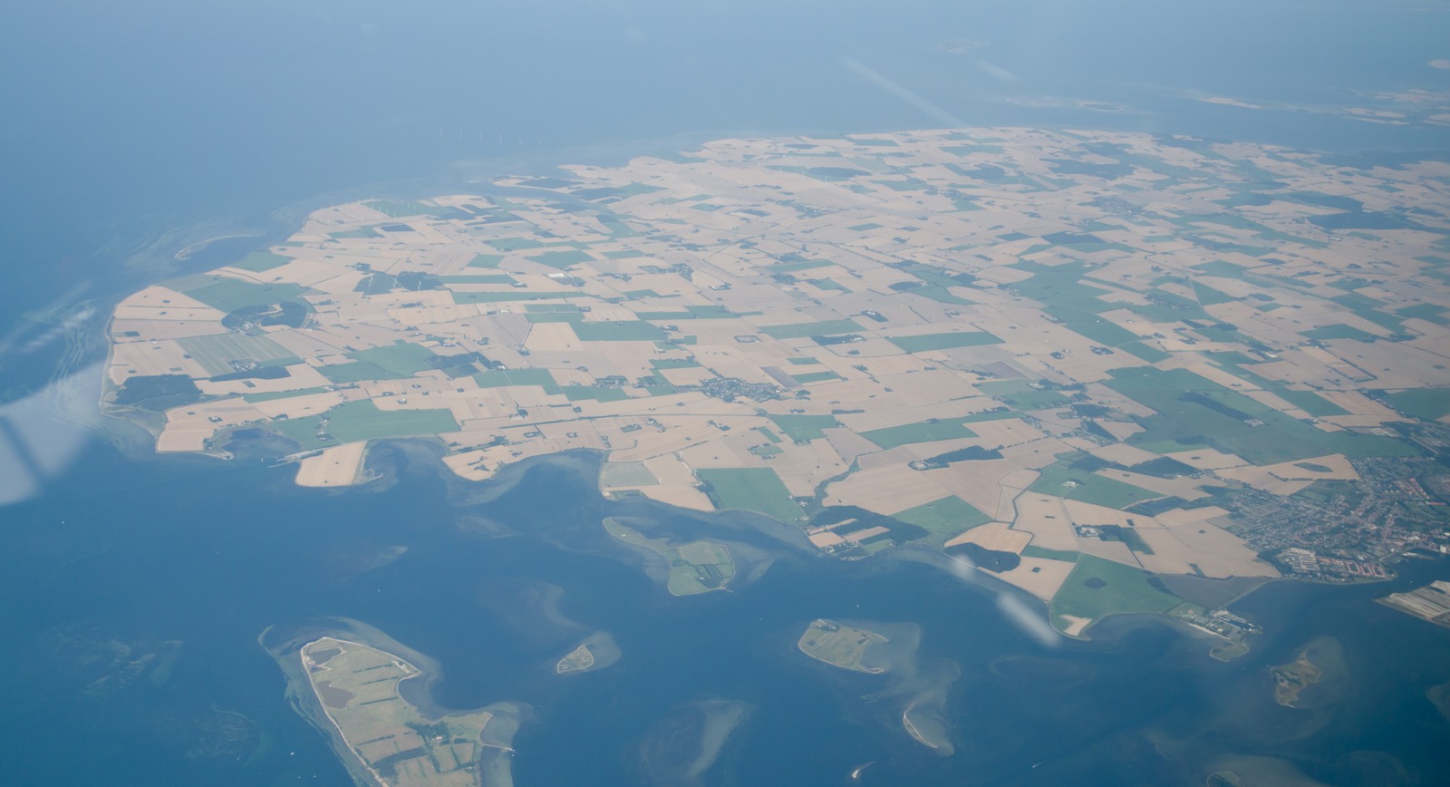
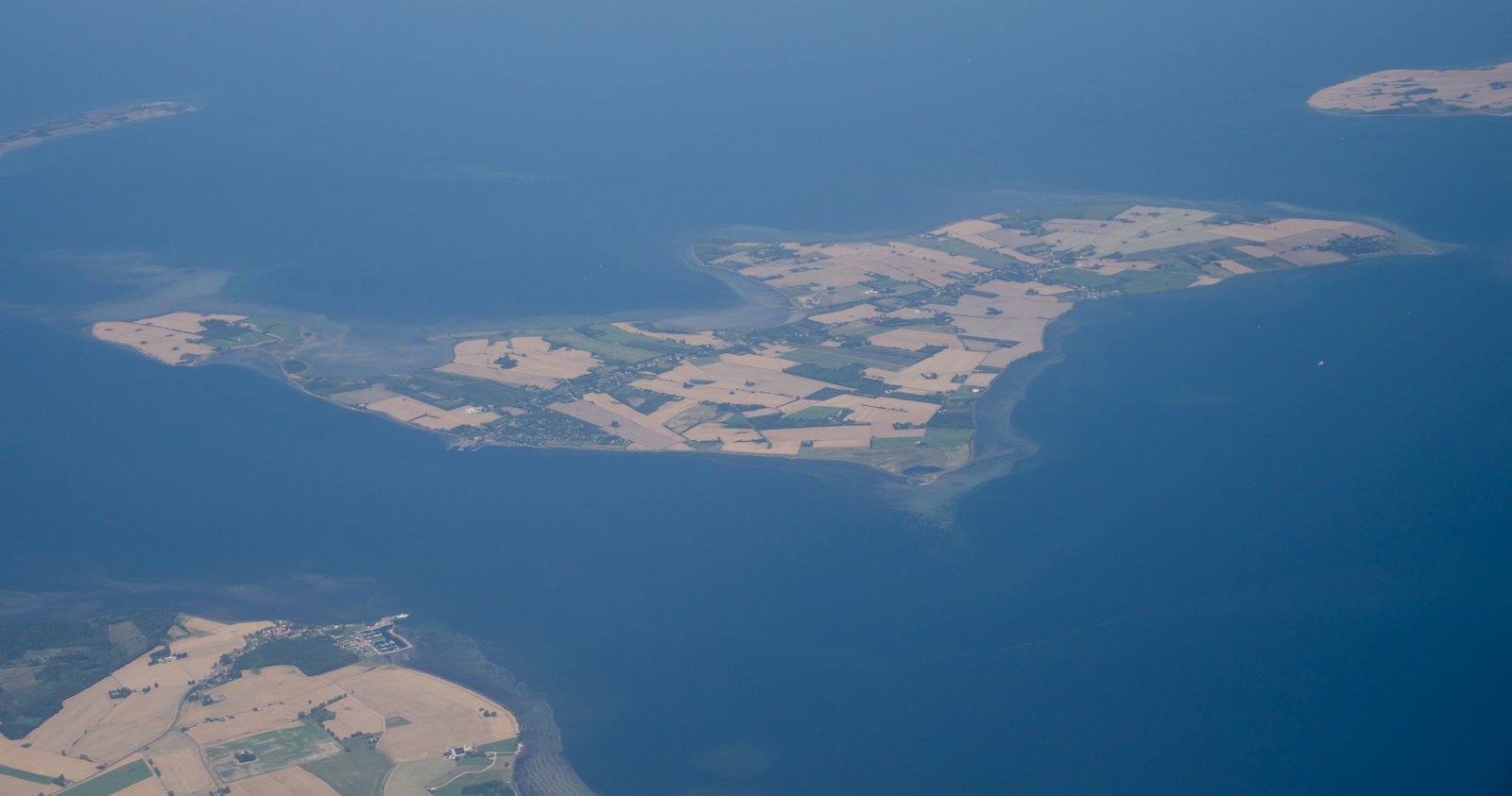
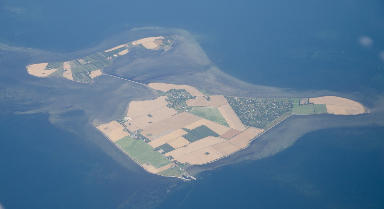
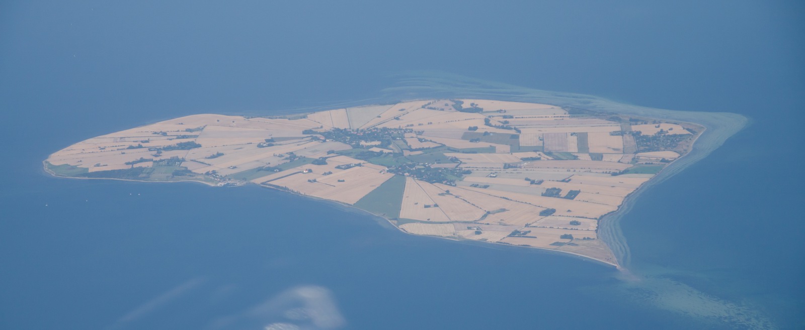
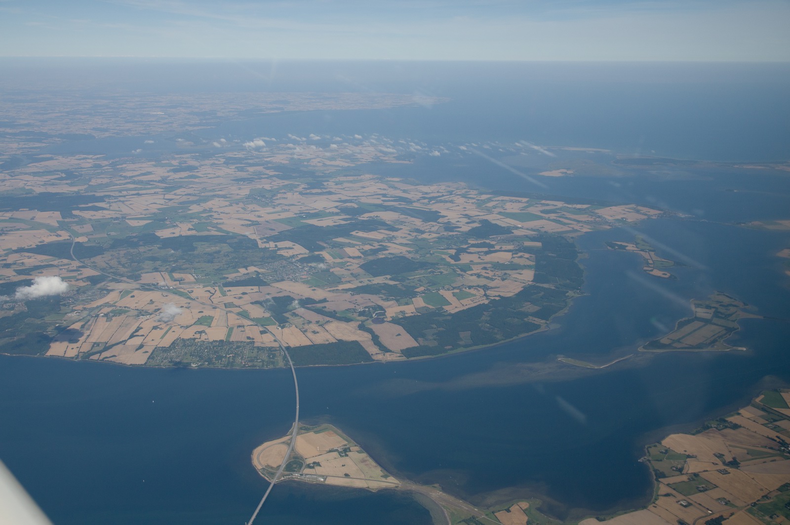
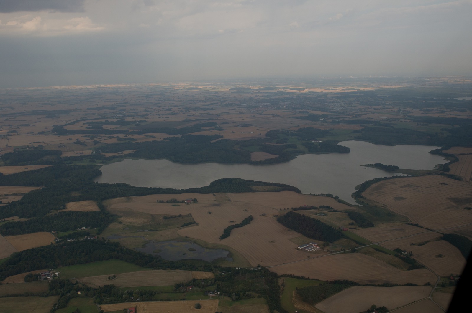
There are many islands along the route...
Walcheren (a peninsula):
Shouwen-Duiveland:
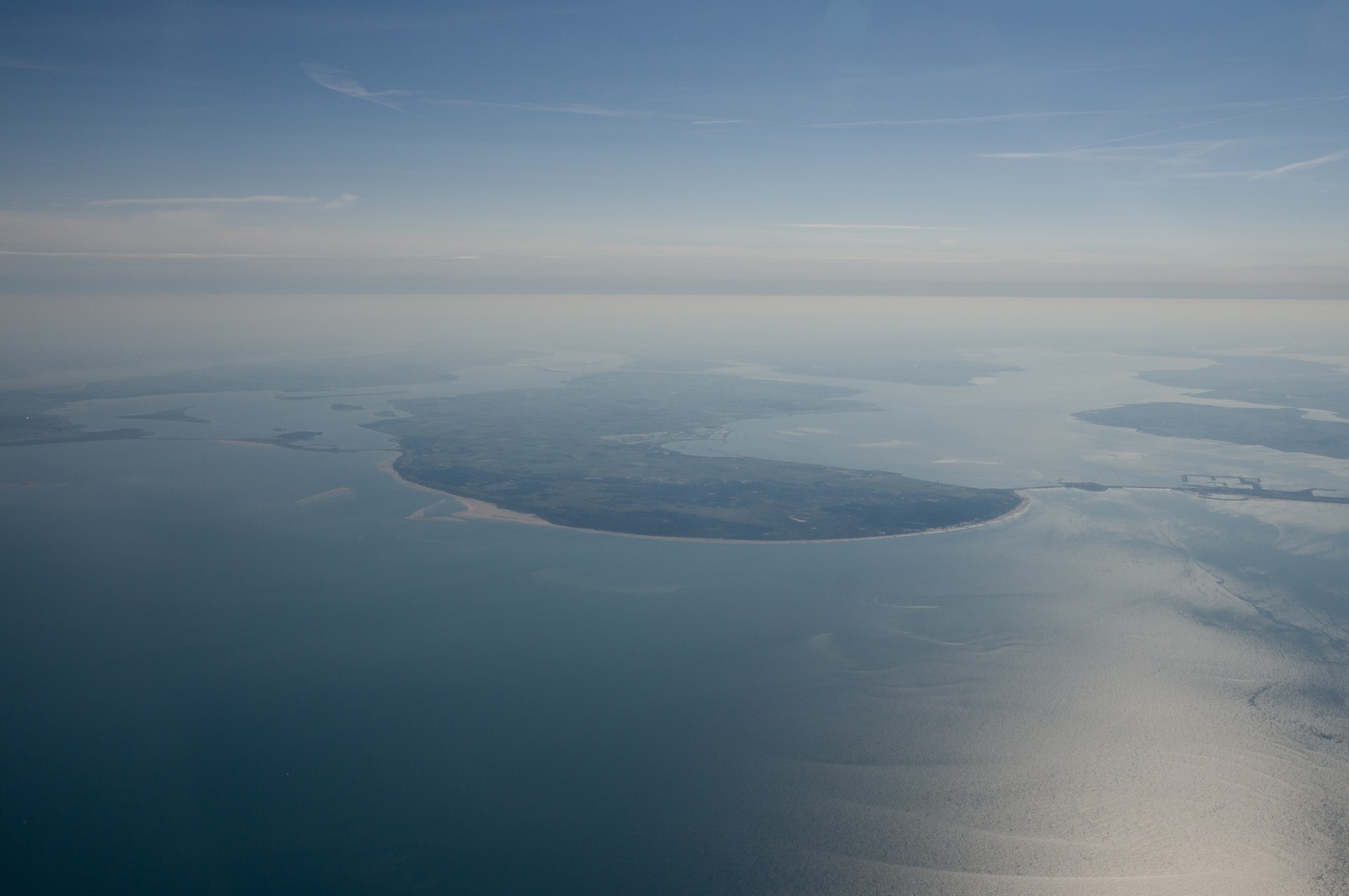
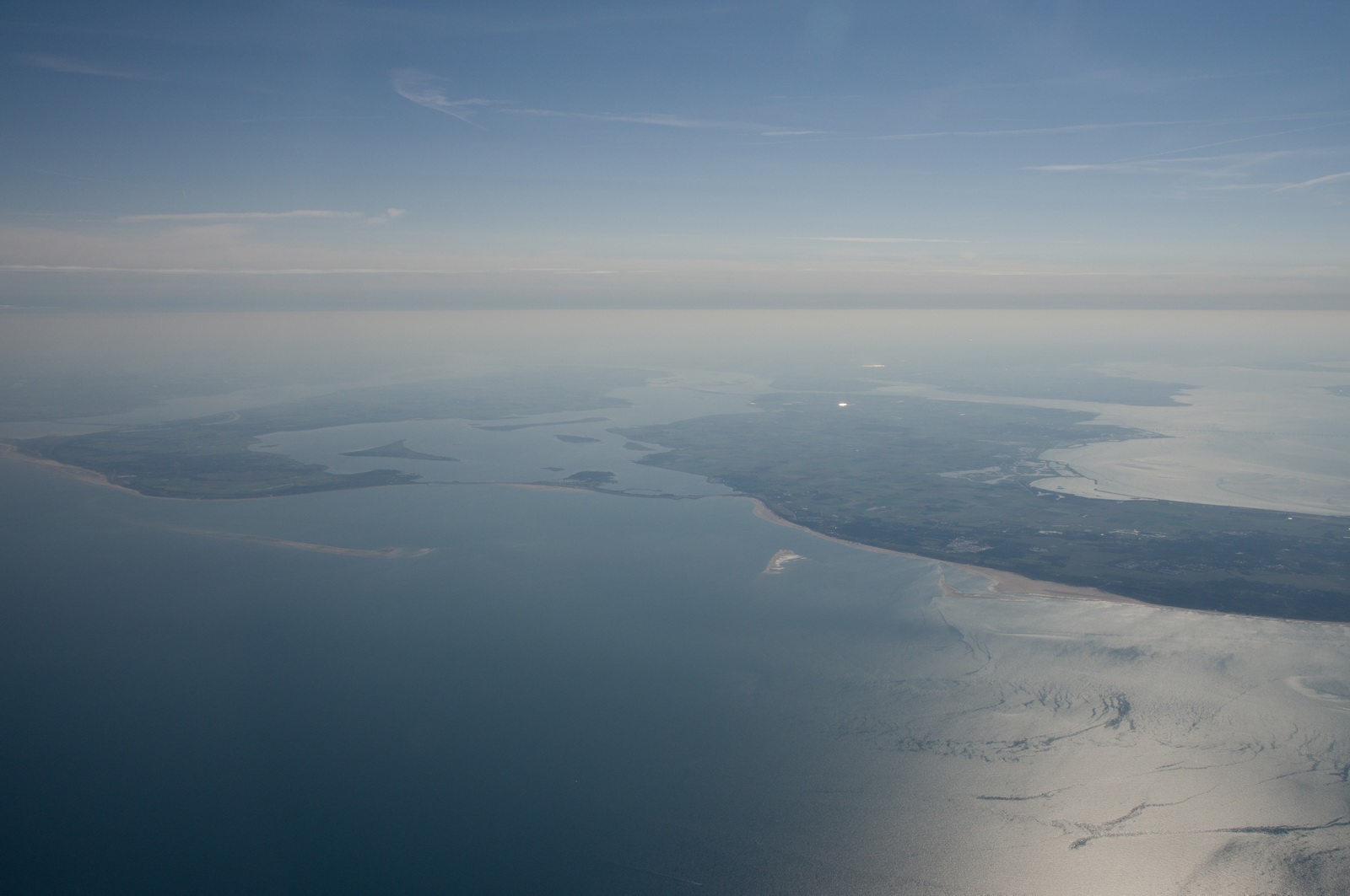
Shouwen-Duiveland on the right, Goeree-Overflakkee on the left:
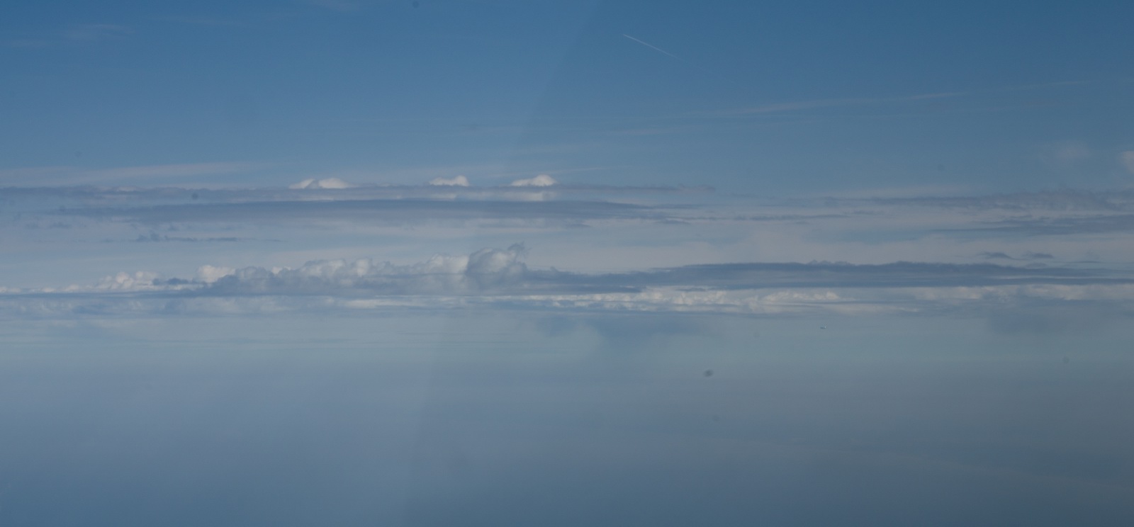
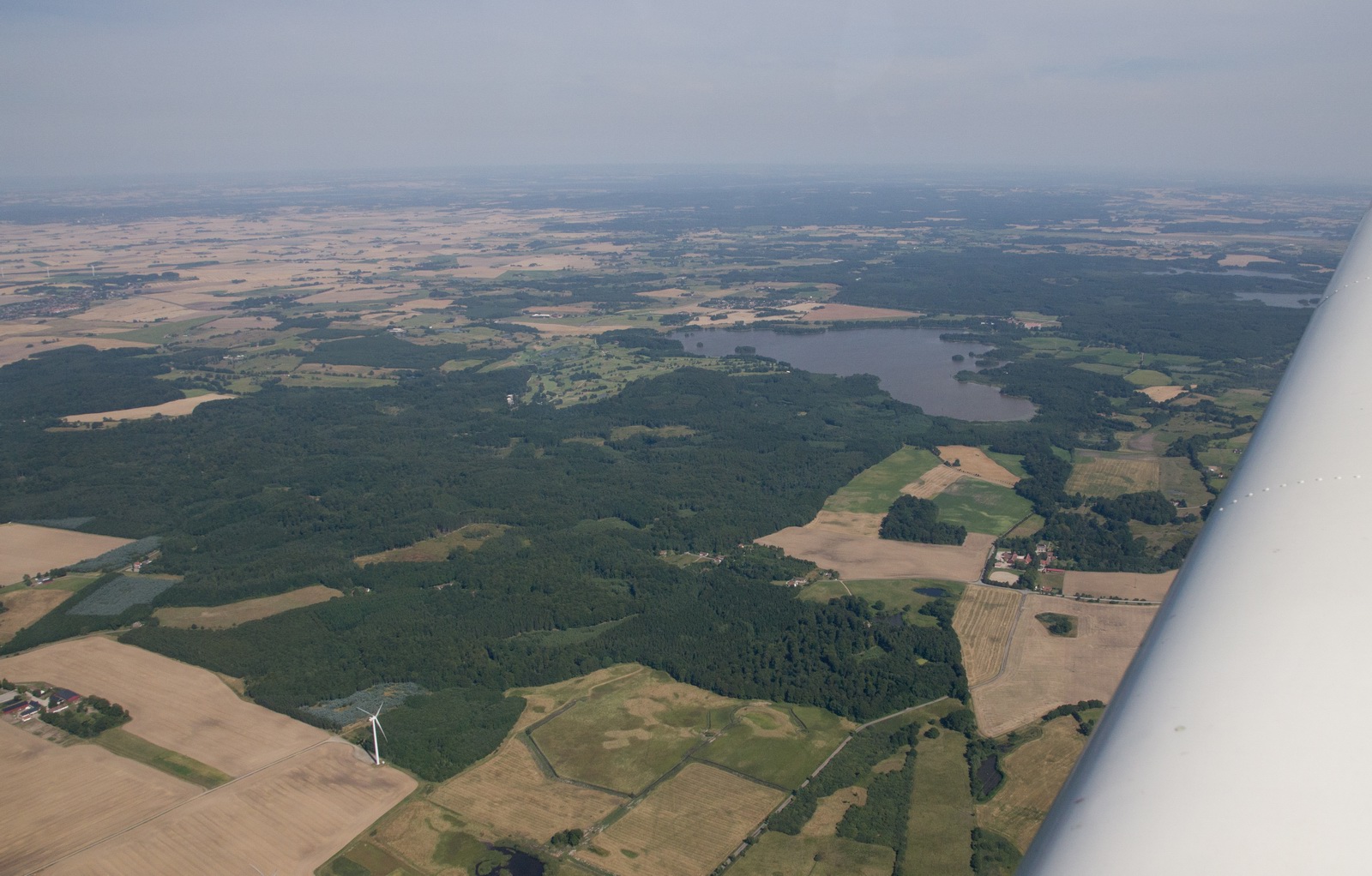
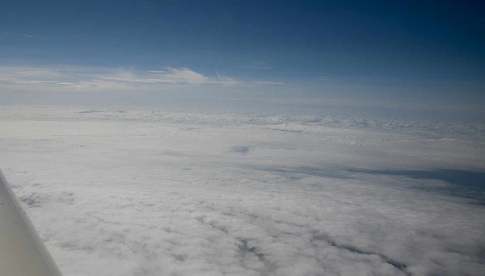
I got some amazing shortcuts. It was a nice day and it looked like the whole
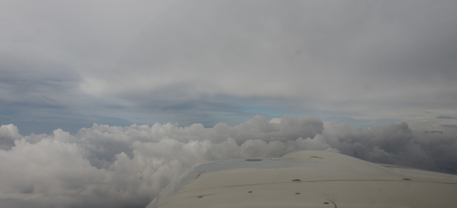
flight could be done at FL100 but about halfway I had to go to FL160 to get
above some muck (technically some stratocumulus ![]() ). One could have gone underneath it at about FL090 but the visibility was poor
and it’s best to not get caught in possibly convective cloud, and being
above is better than being below and then finding one cannot climb up through
it. It was +5C at FL100 and -7C at FL160 so climbing up through any IMC would
have involved very likely icing.
). One could have gone underneath it at about FL090 but the visibility was poor
and it’s best to not get caught in possibly convective cloud, and being
above is better than being below and then finding one cannot climb up through
it. It was +5C at FL100 and -7C at FL160 so climbing up through any IMC would
have involved very likely icing.
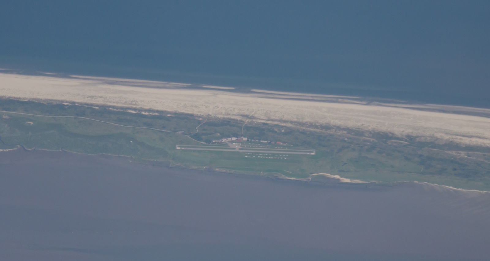
An interesting airfield on a narrow strip of land - Juist EDWJ
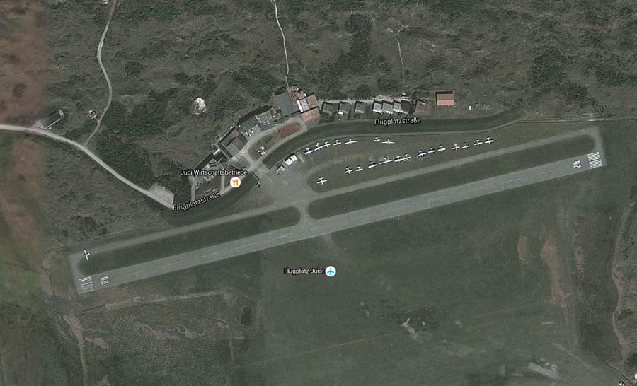
A better photo from google maps:
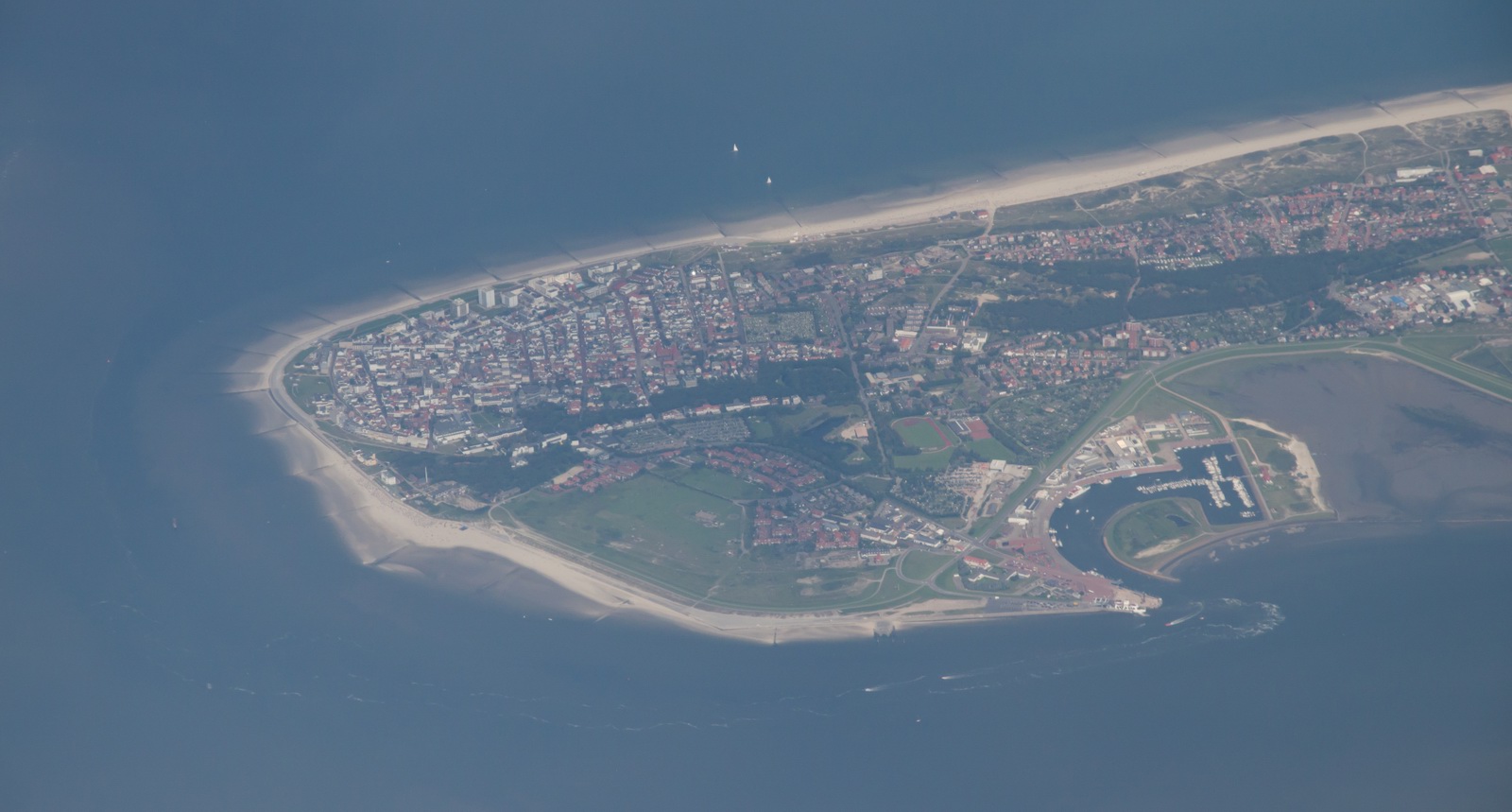
Norderney:

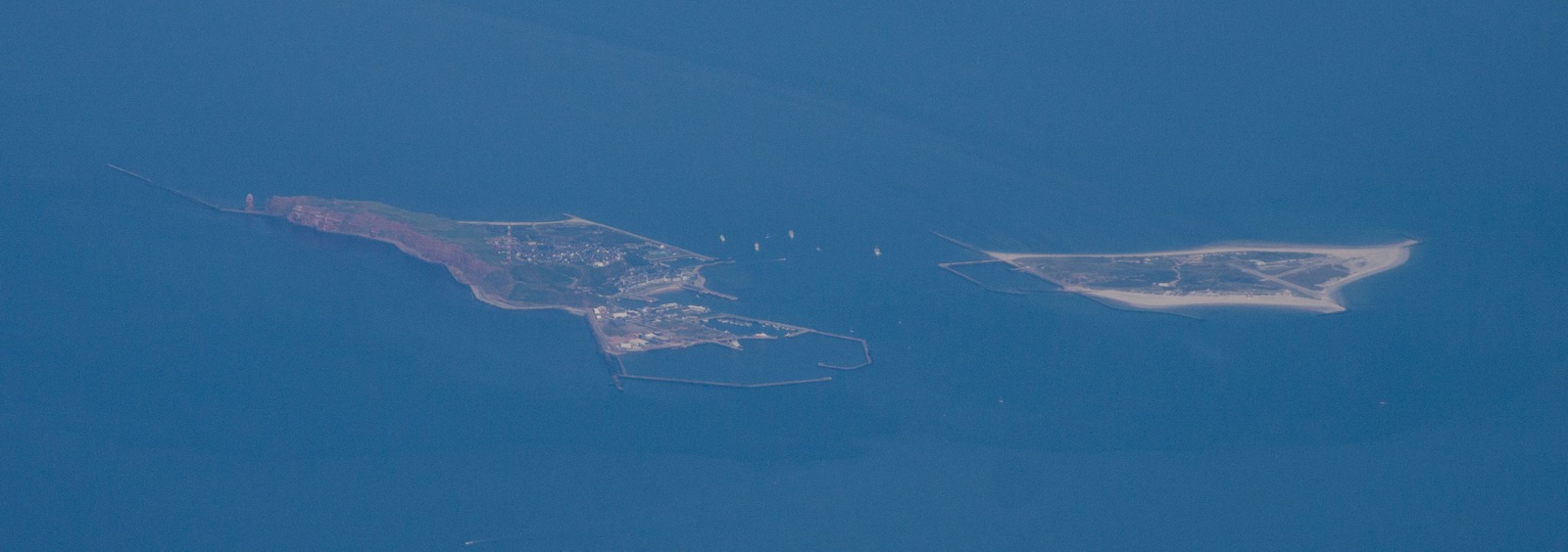
Helgoland:
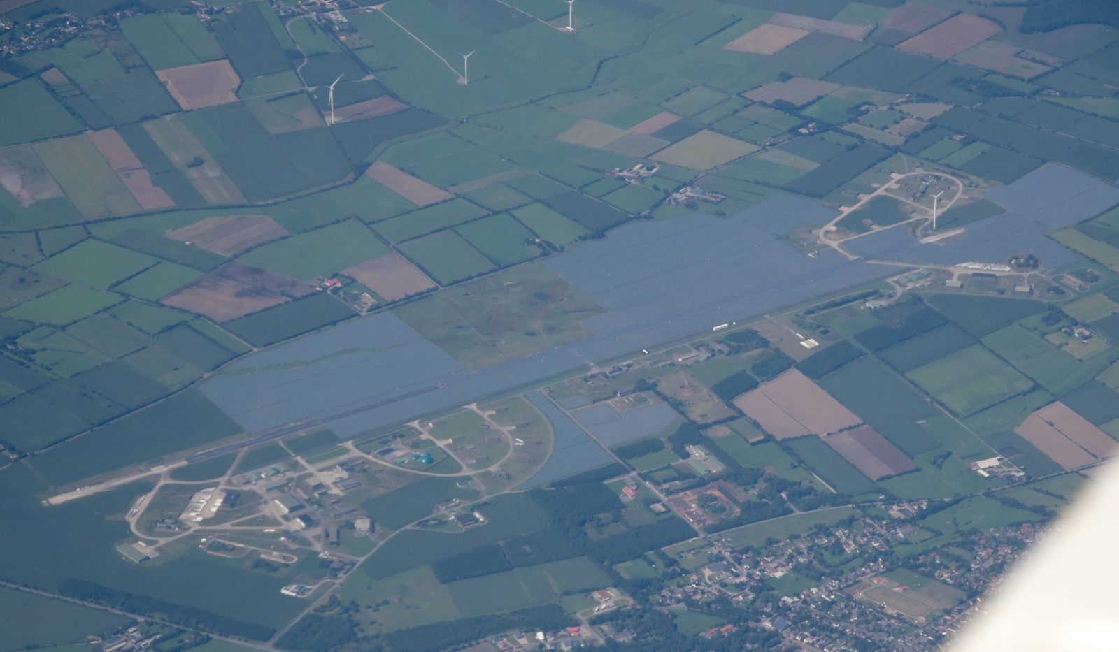
A military or ex-military airport, with most of the runway flooded
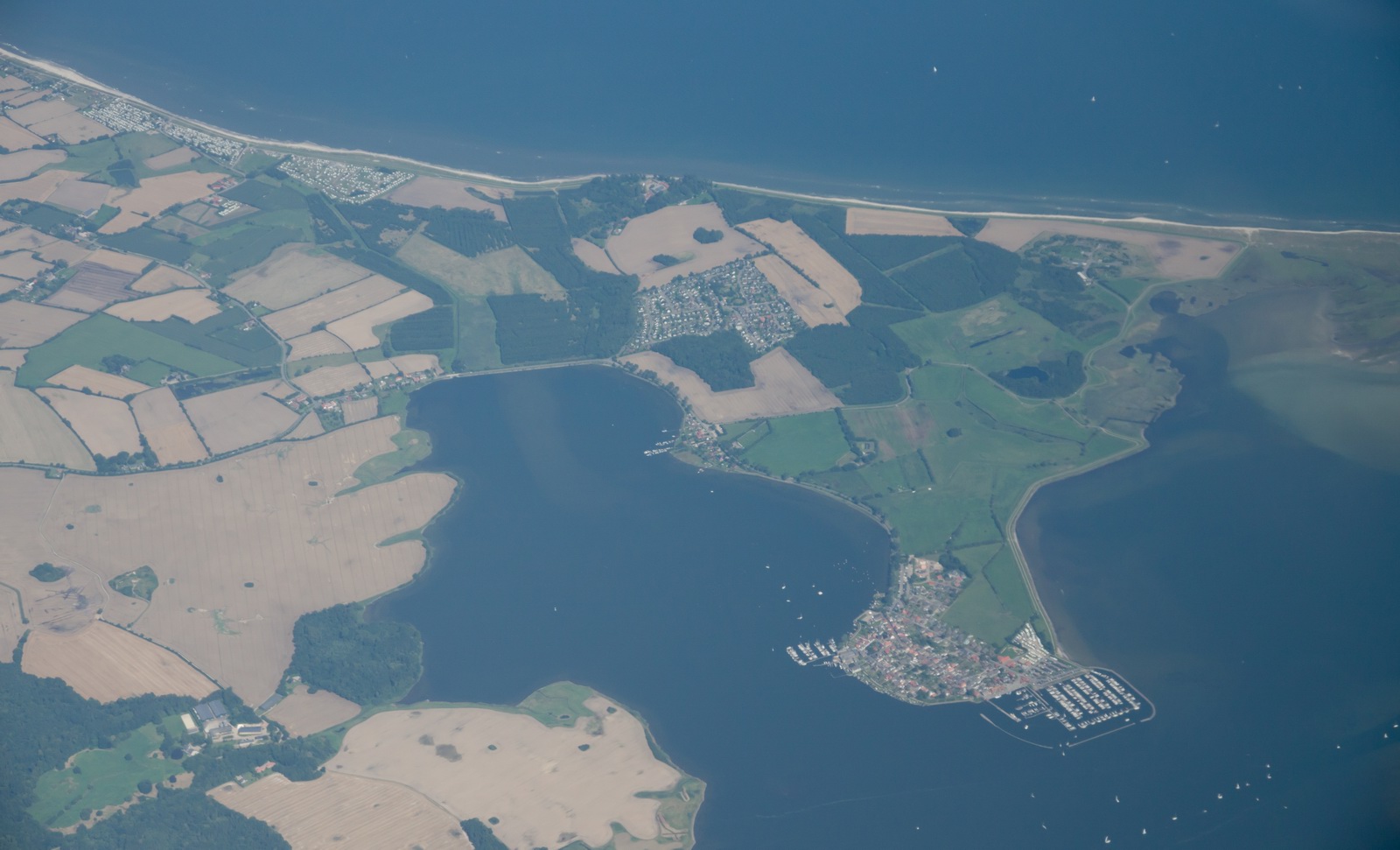
The town with the Marina is Maasholm:
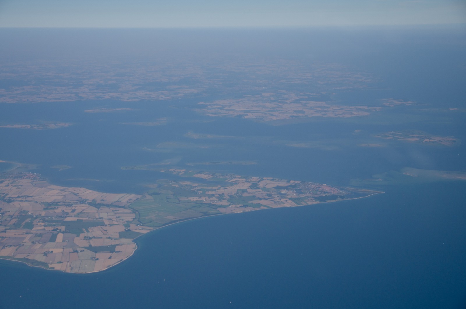
Ærø:
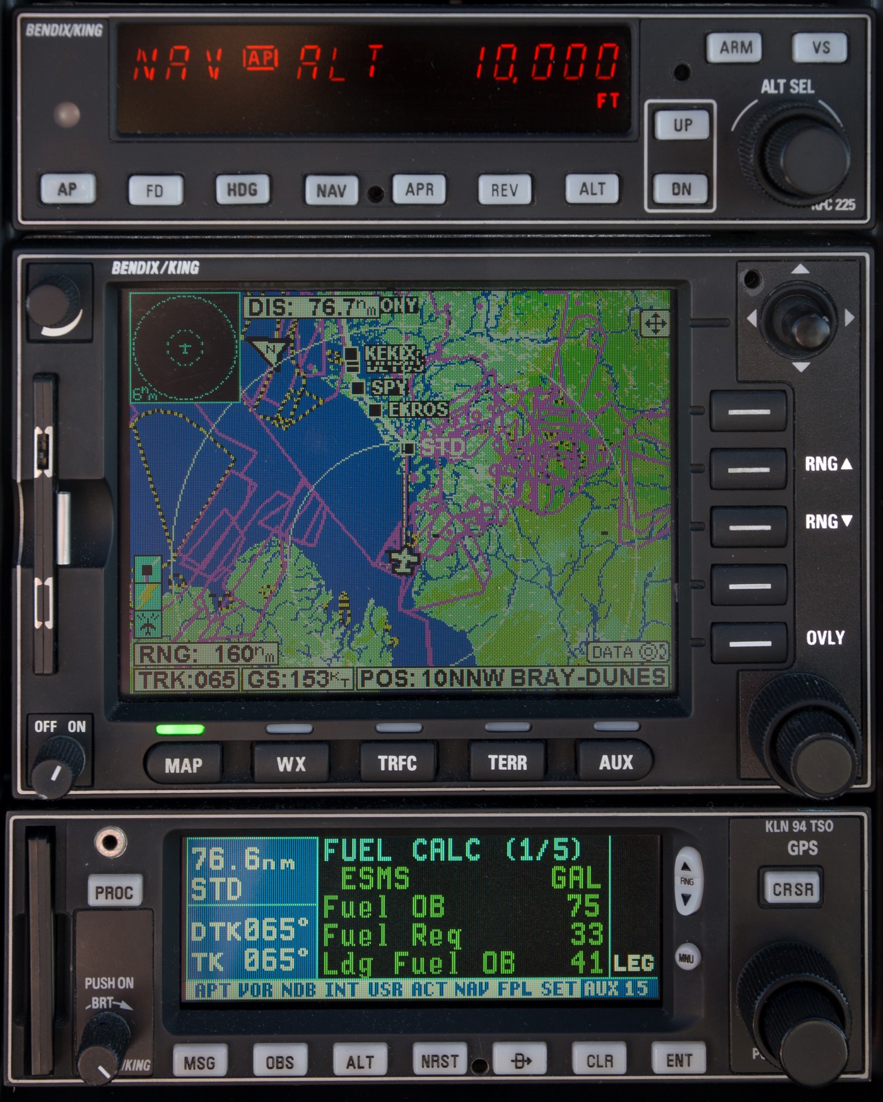
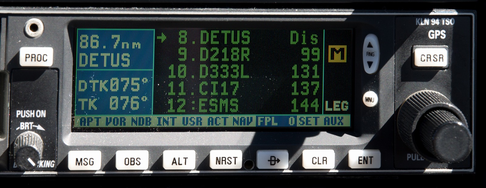
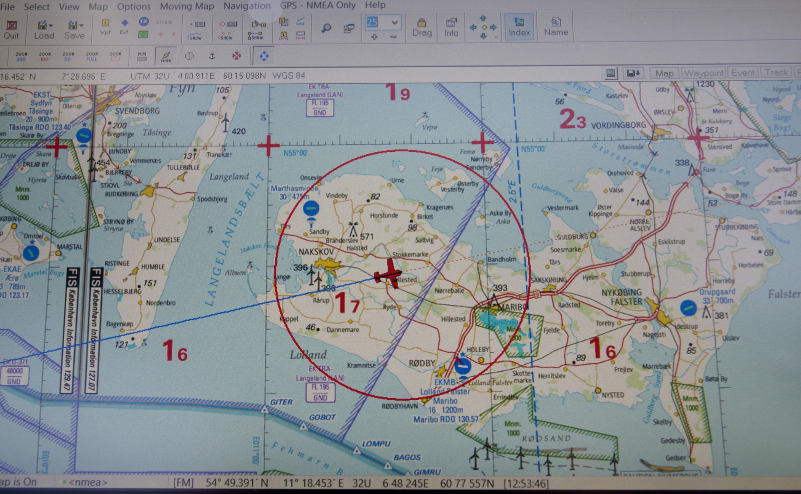
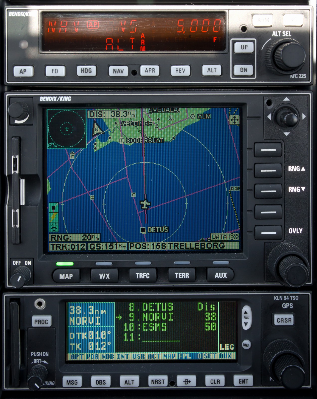
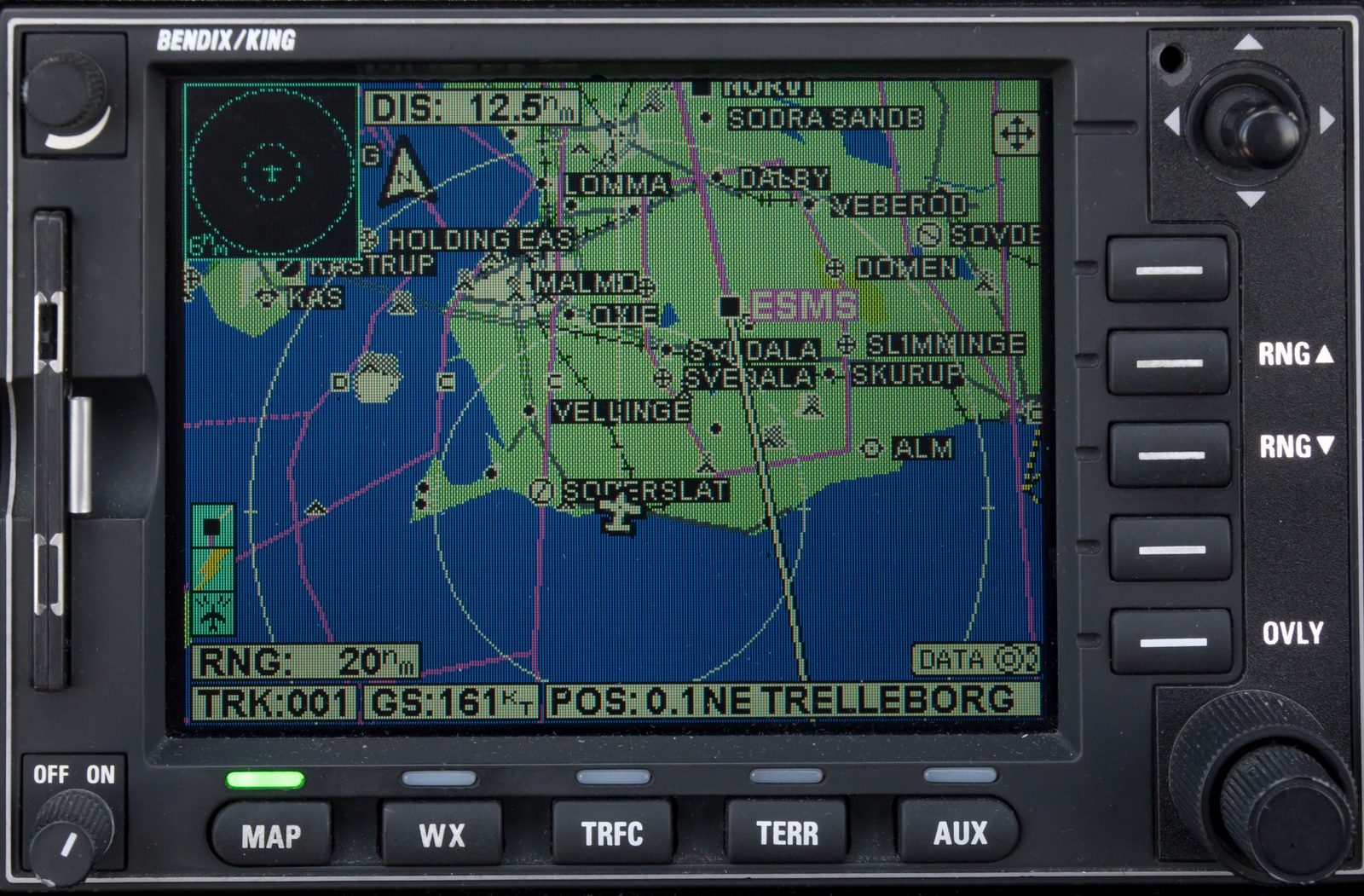
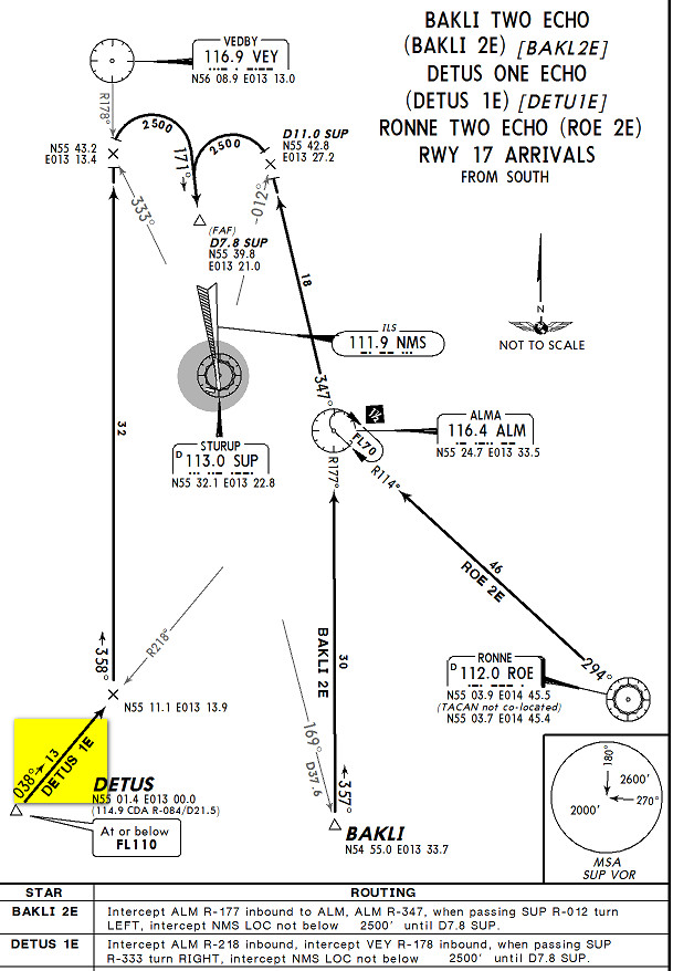
ATC was brilliant along the entire route, with some great shortcuts. Initially I got a DCT DETUS for the DETUS1E STAR
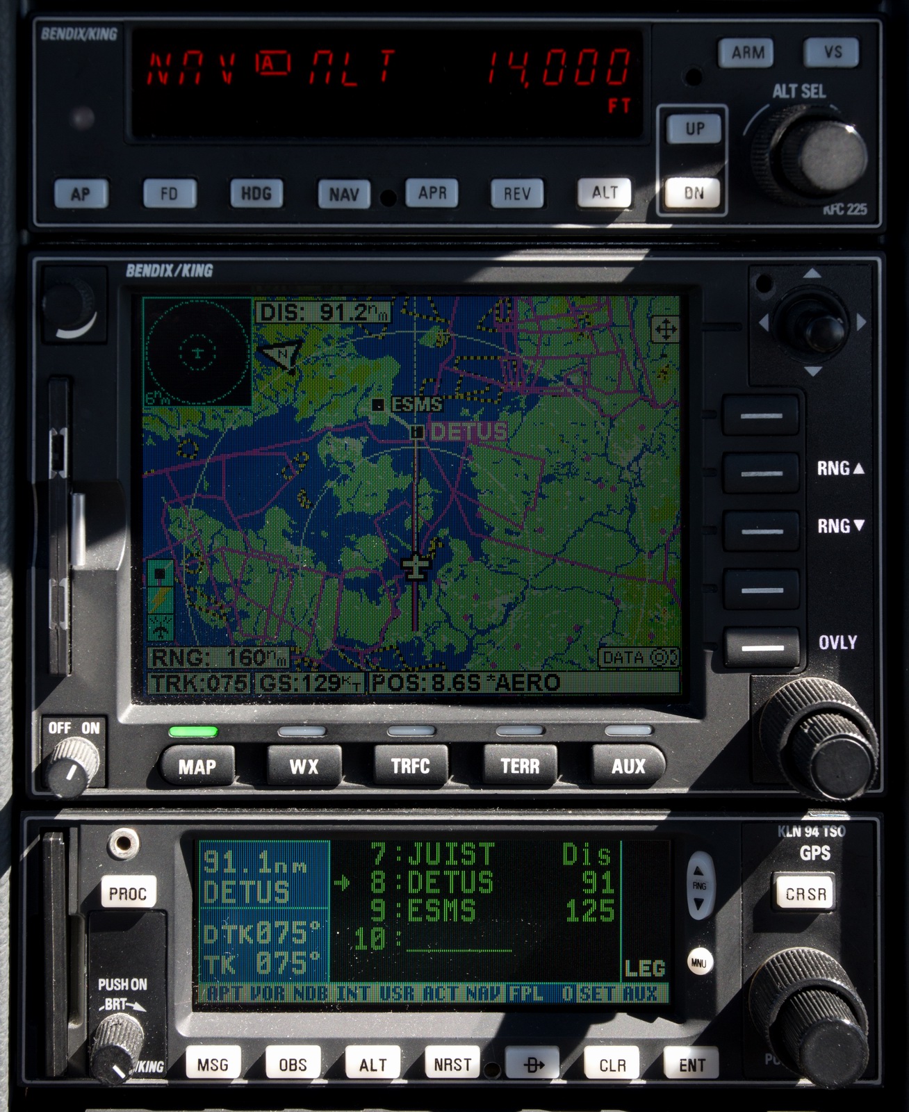
Here the DETUS1E STAR is shown loaded into the flight plan:
Als:
Ærø:
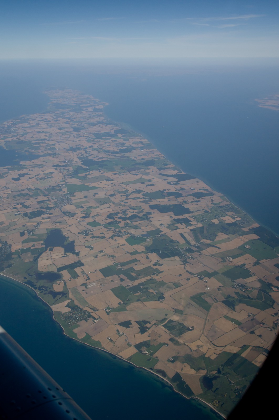
Langeland:
West coast of Lolland just north of Søndernor:
Langø:

As a backup and for "geographical awareness" I run VFR charts on my tablet, under Oziexplorer. Europe now has a serious shortage of VFR chart coverage, because many countries never published usable ones, and Jeppesen stopped their "VFR/GPS" charts in 2013. The ones I am running below are the last 2013 charts. This situation feeds business to the tablet-only products: JeppFD-VFR, PocketFMS and Skydemon but is not ideal because many pilots do not know how to operate these products with their sometimes complex user interfaces...
Fejø:
Askø and Lilleø:
Femø:
Femø:

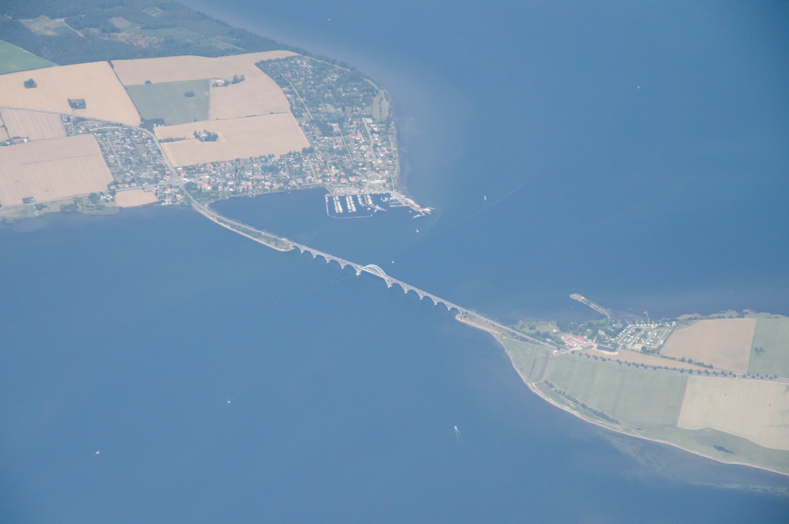
Storstrømsbroen:
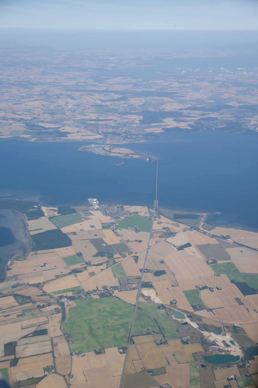
Farøbroen:
Dronning Alexandrines Bro:
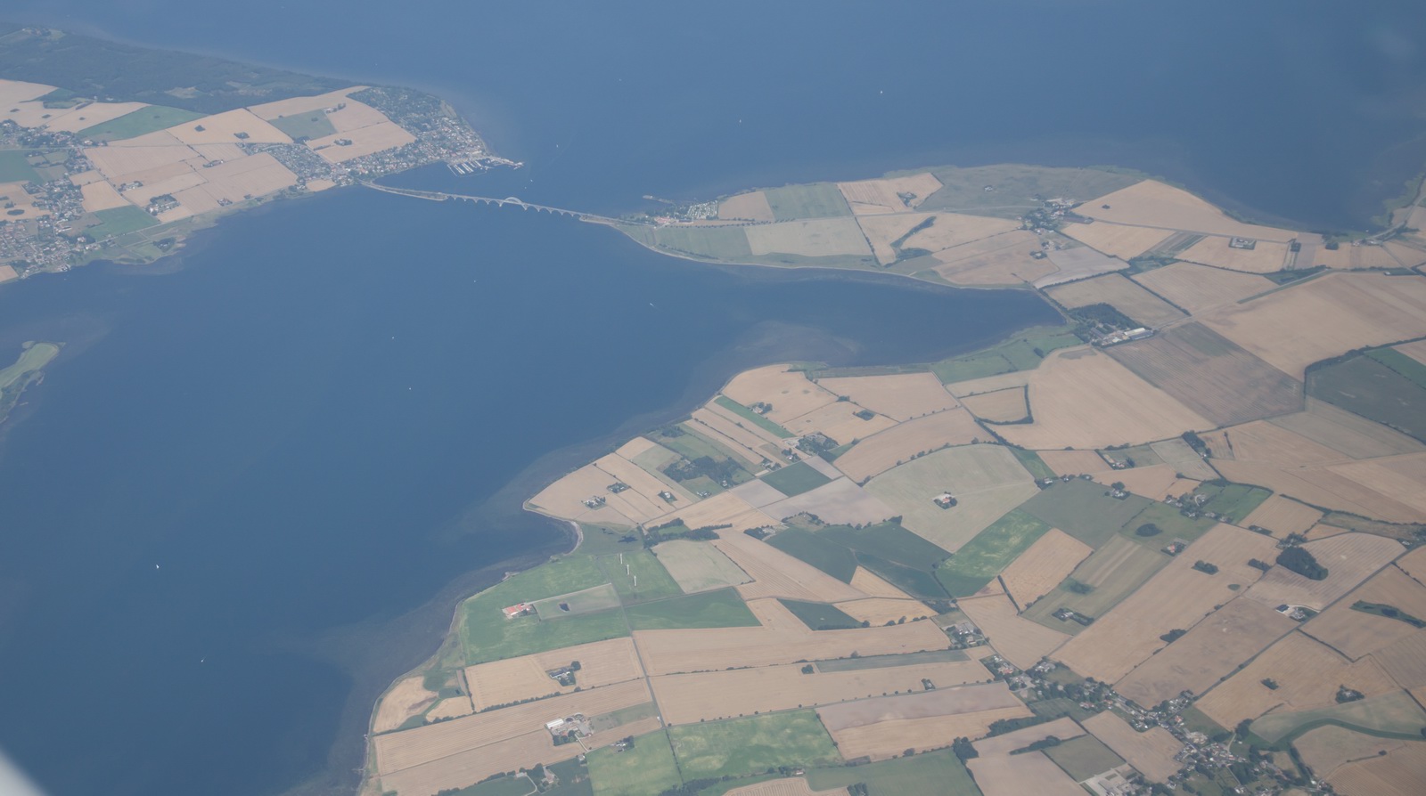
Dronning Alexandrines Bro:
I was offered a 6nm intercept (I like a radar vectored ILS because it can be
flown easily entirely with the autopilot so I can get more photos ![]() )
but then they asked if I could do a Visual Approach because there was a military
aircraft trying to get in.
)
but then they asked if I could do a Visual Approach because there was a military
aircraft trying to get in.
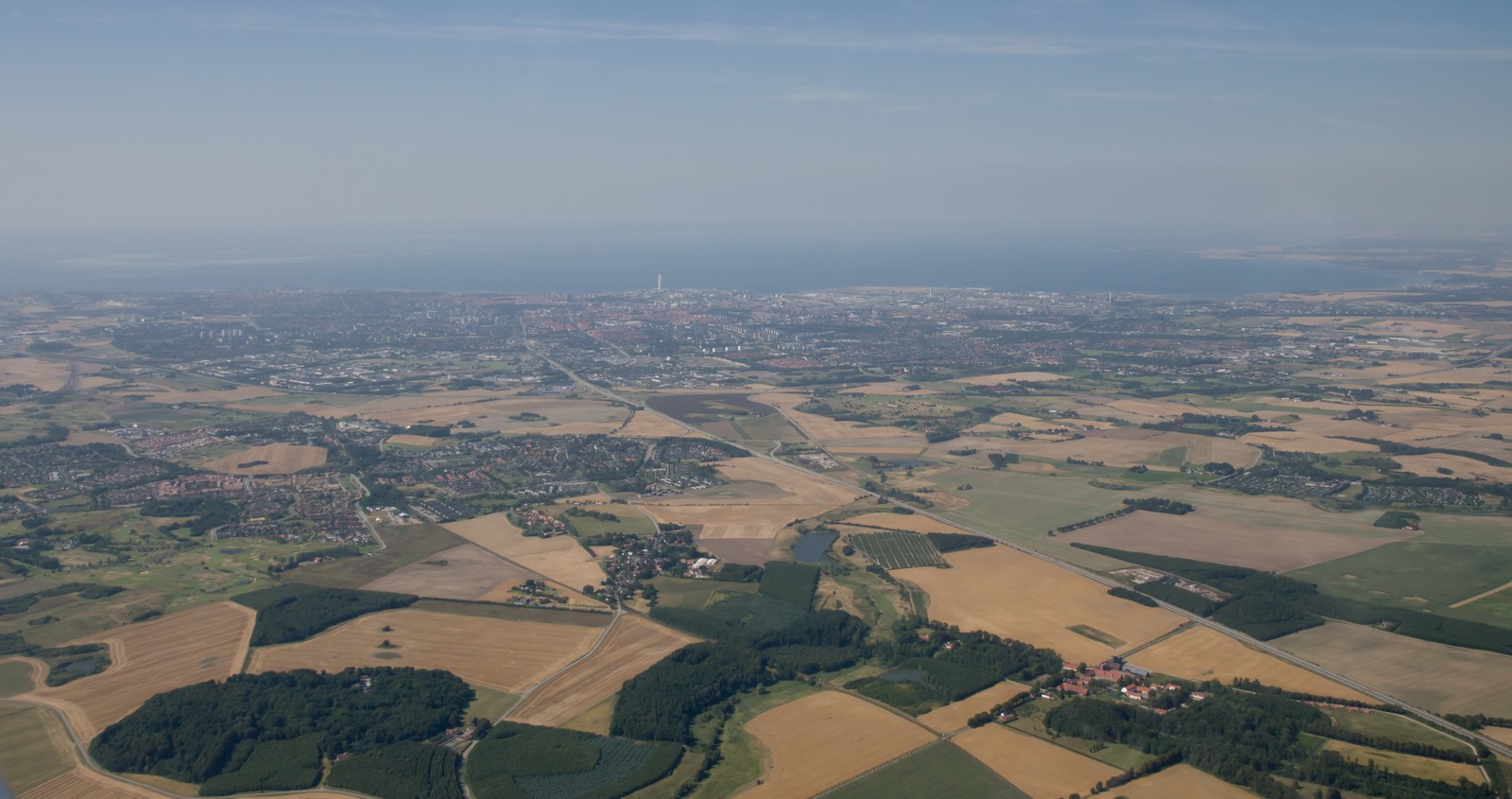
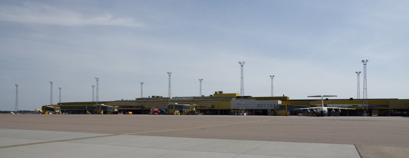
Final approach Malmo ESMS runway 17. You can see a large aircraft has just departed
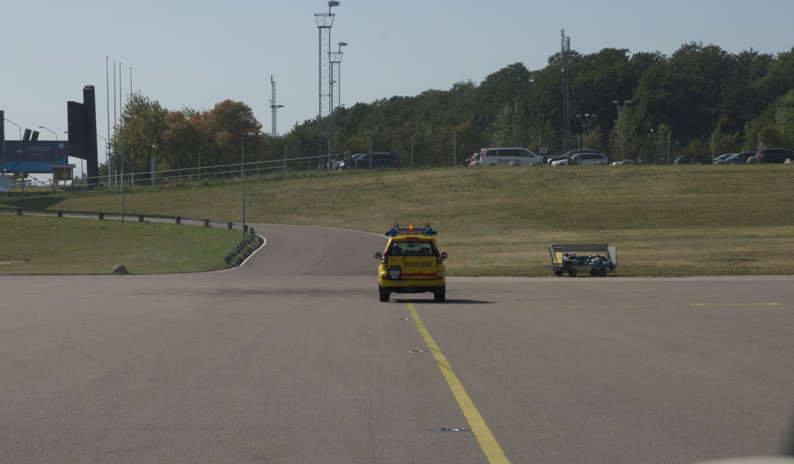
You get a follow-me car
There were some BAE146 jets doing frequent flights:
Fuel turned up fast. I used my AIR BP fuel card
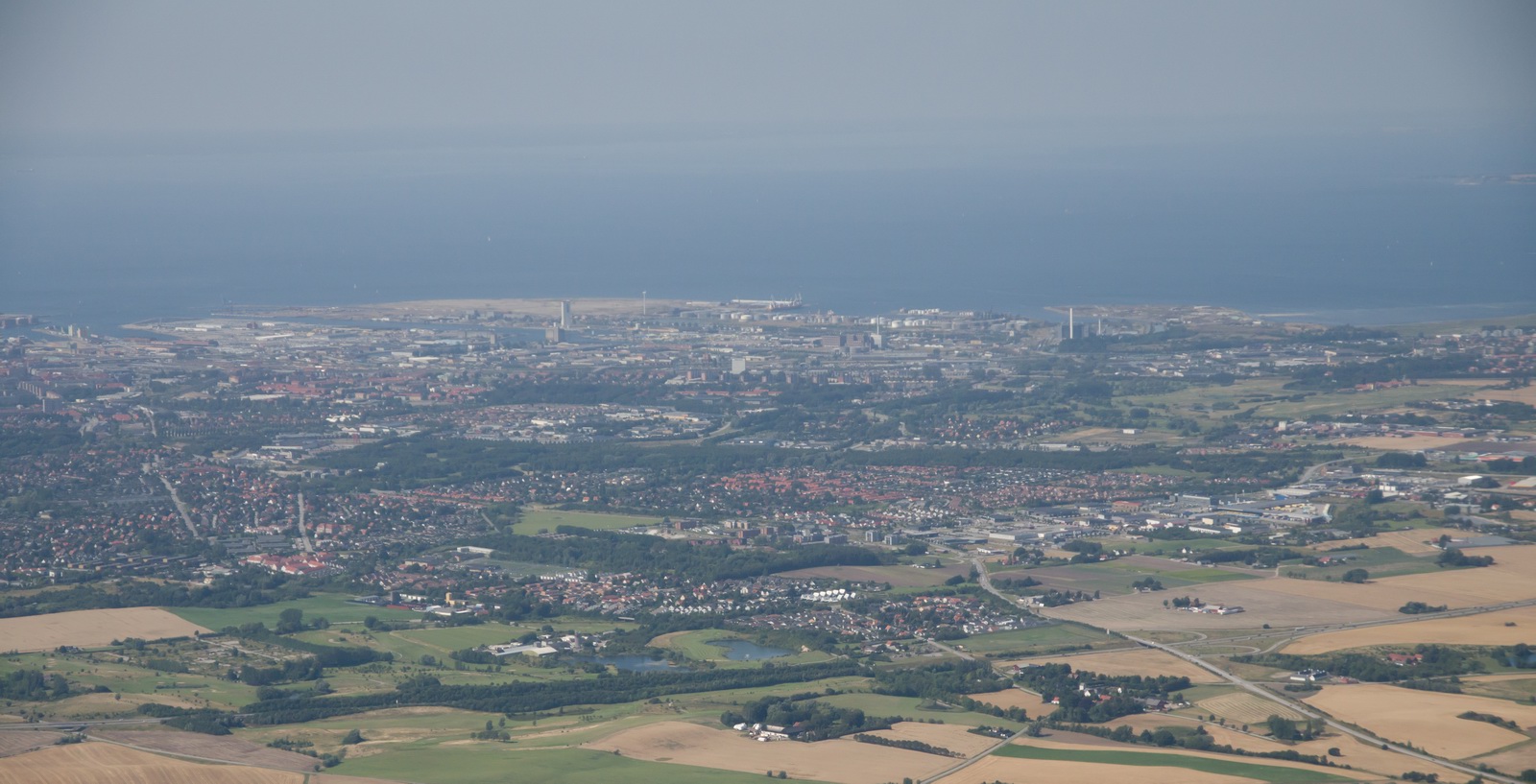
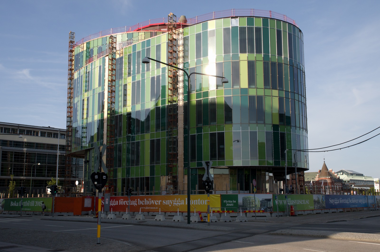
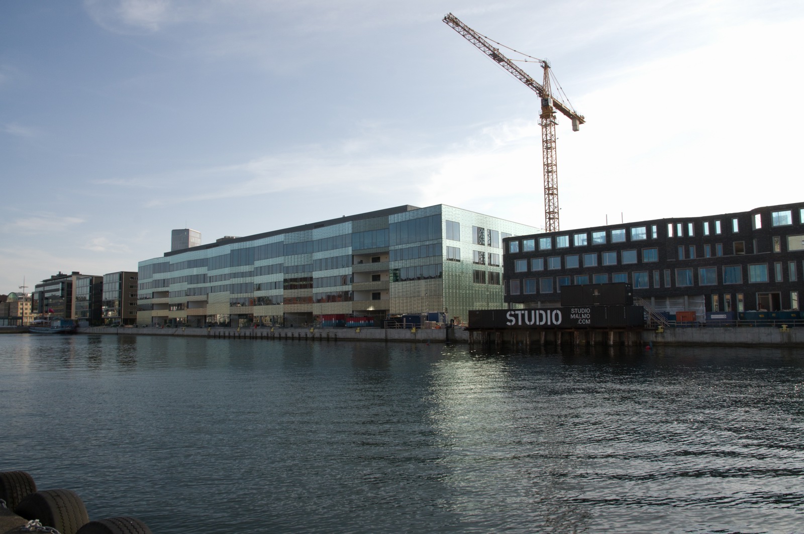
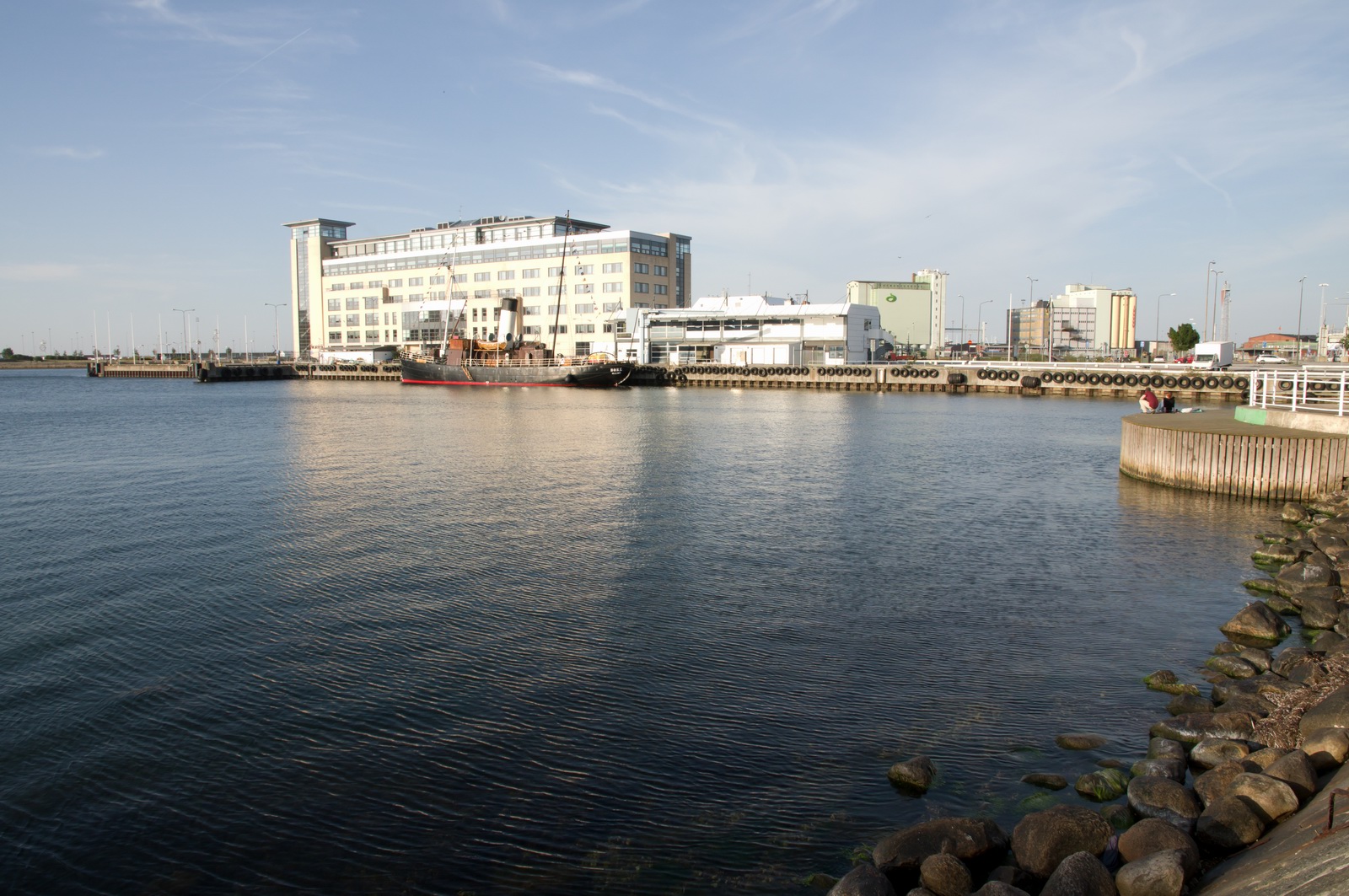
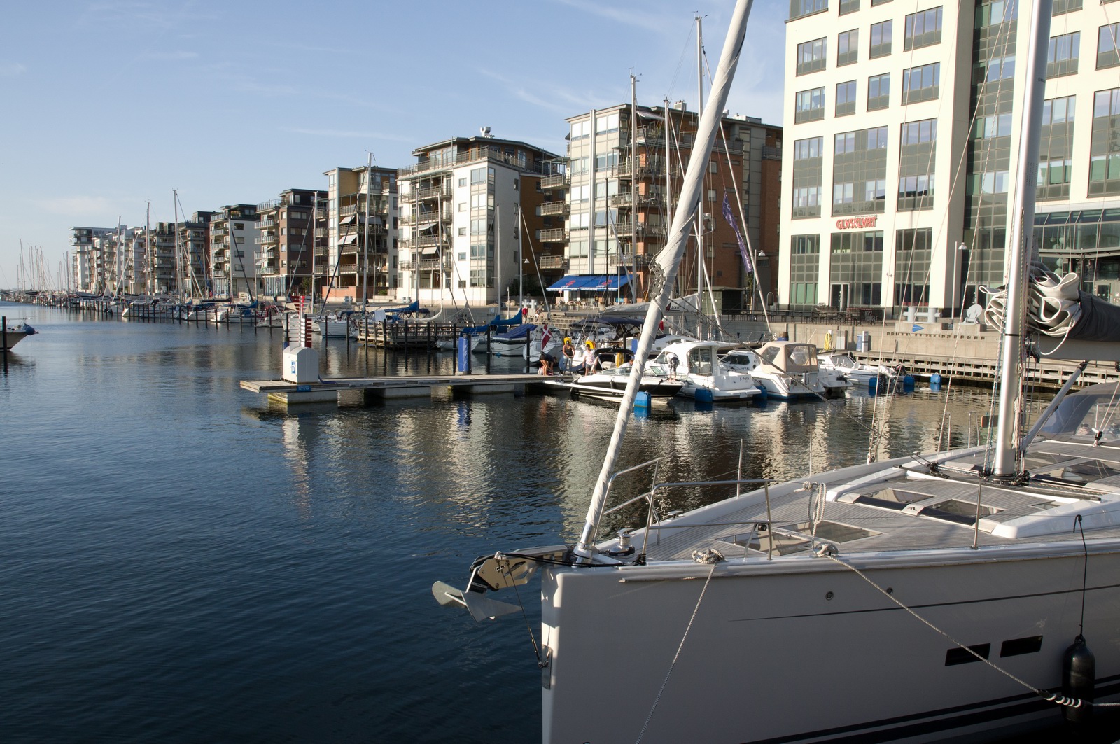
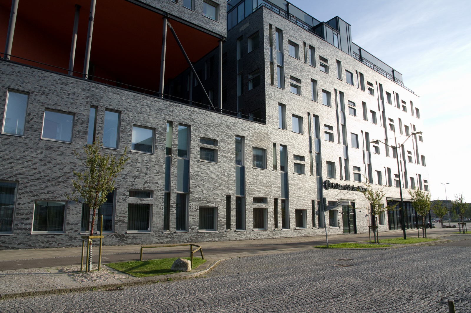
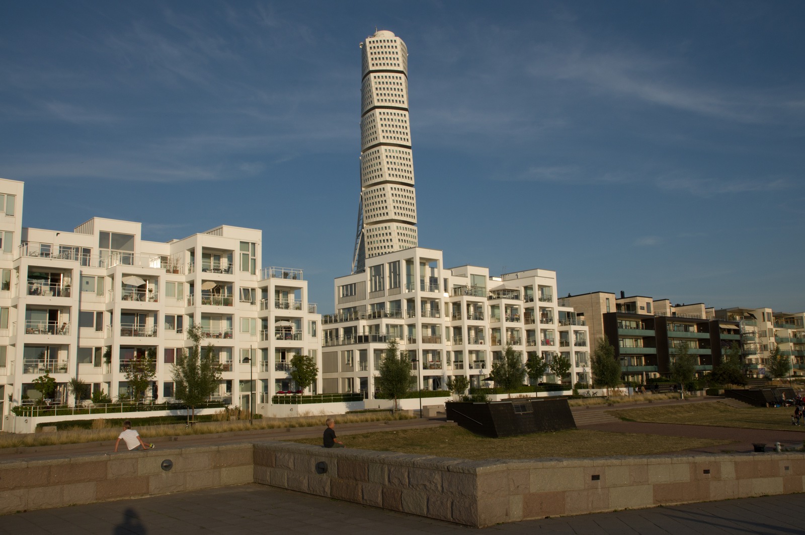
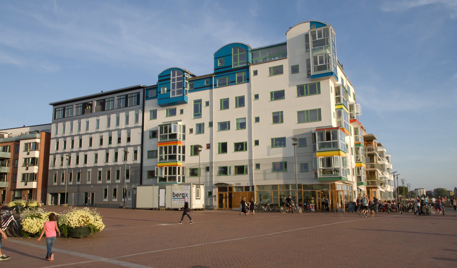
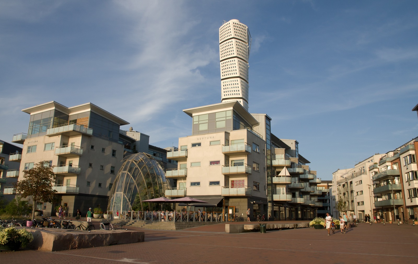
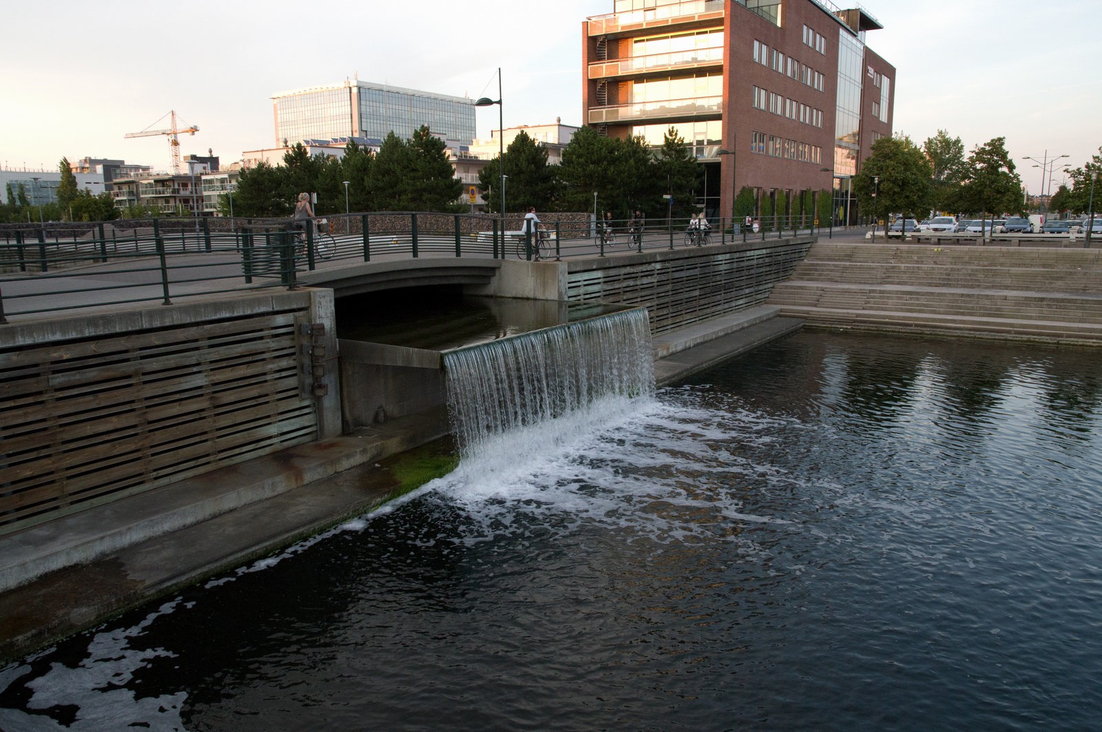
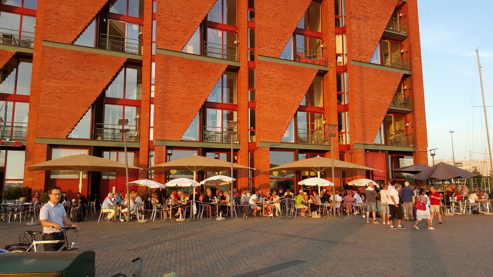
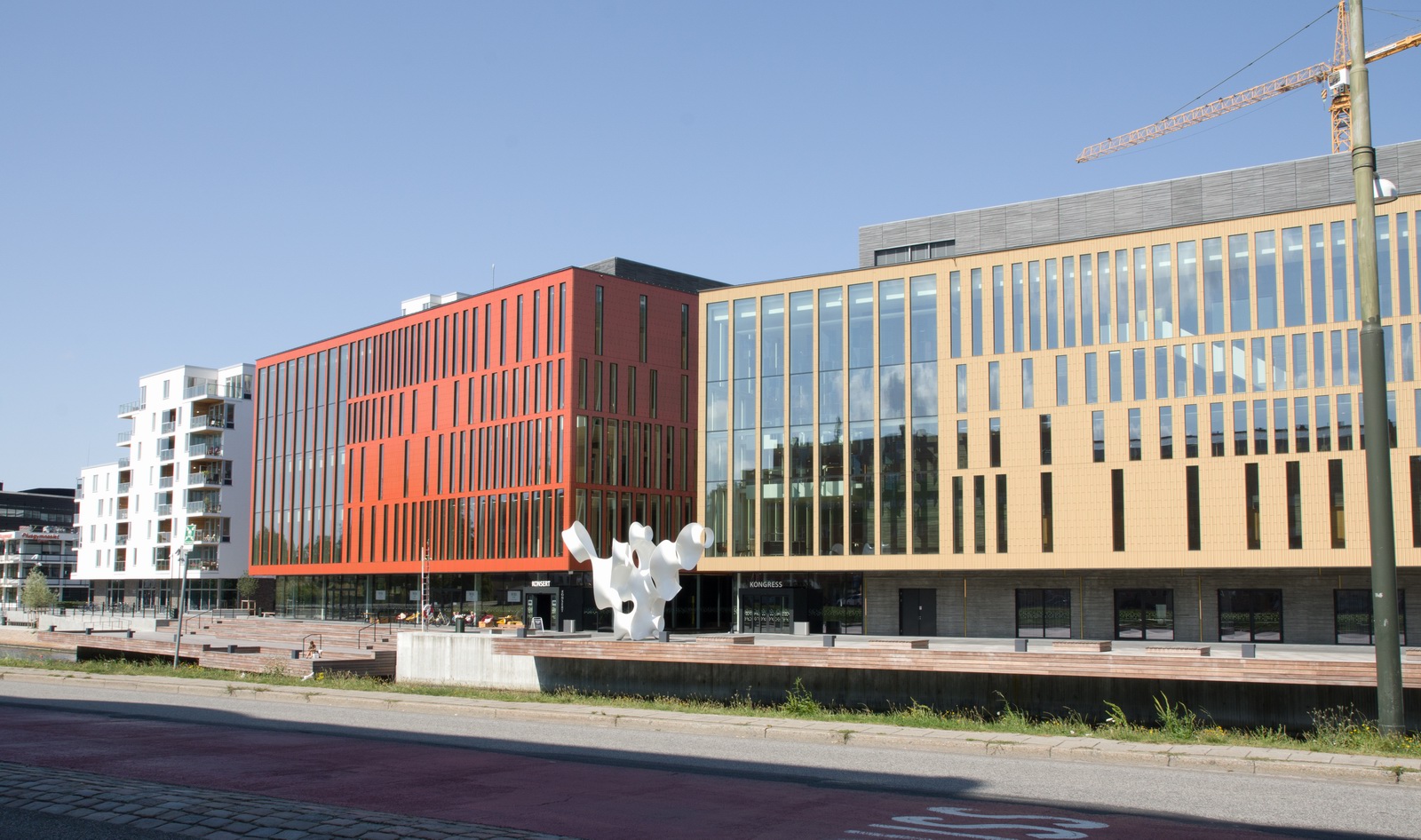
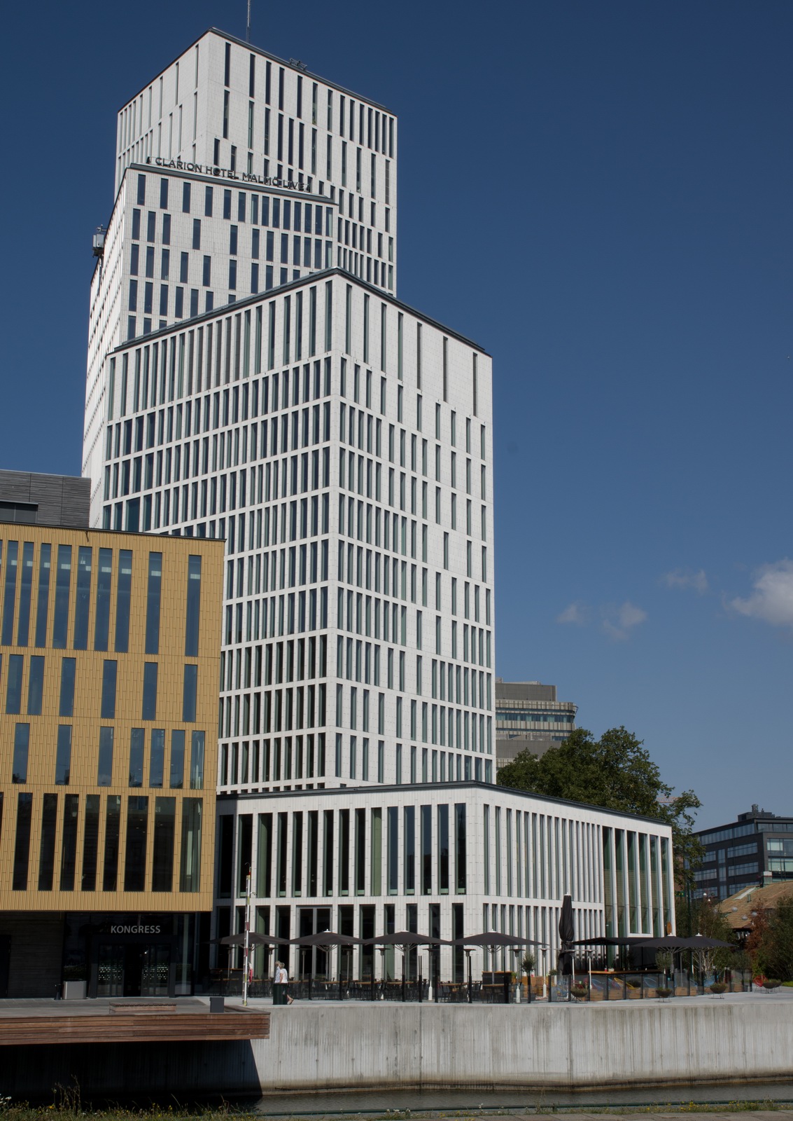
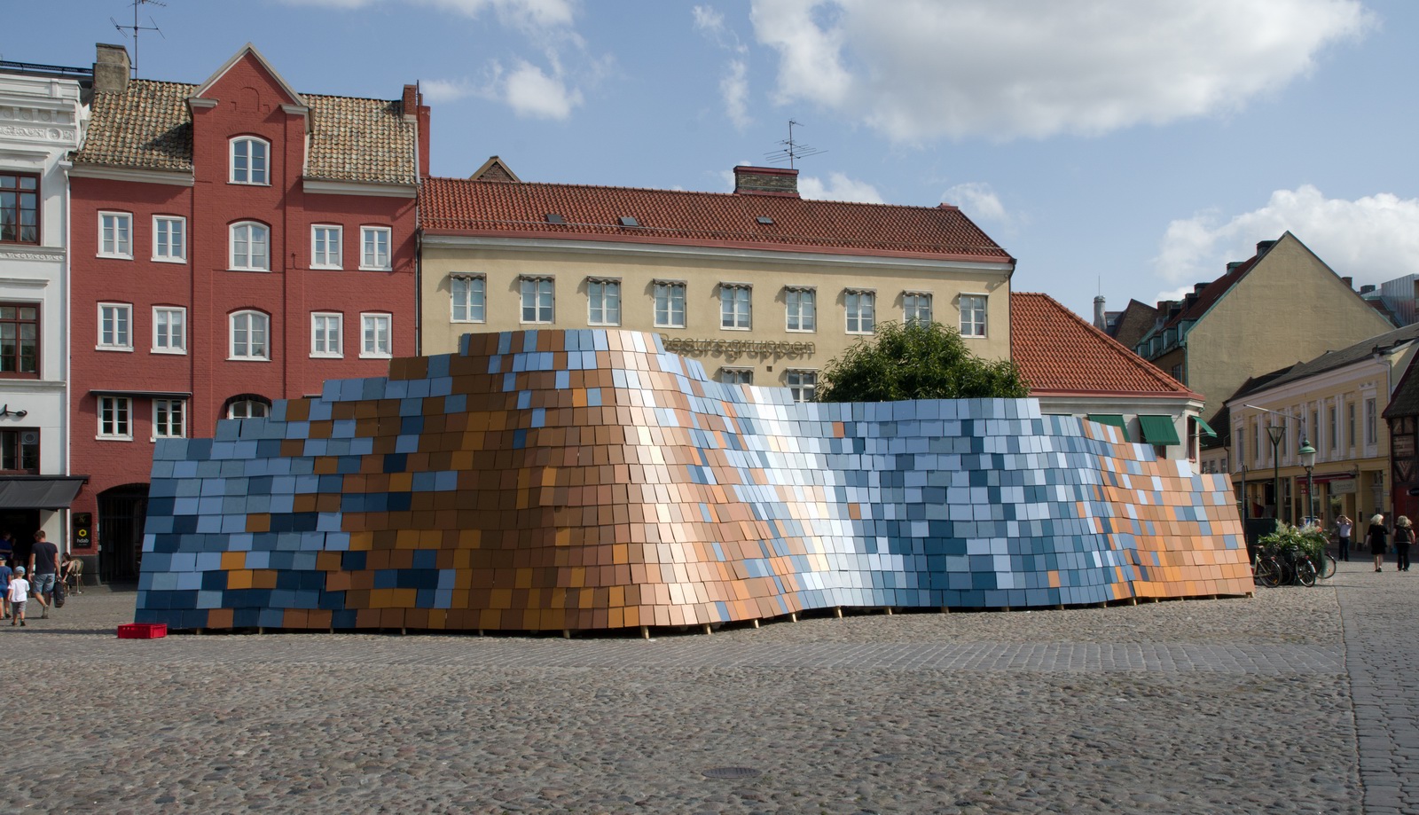
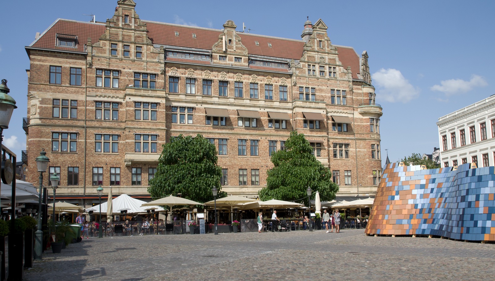
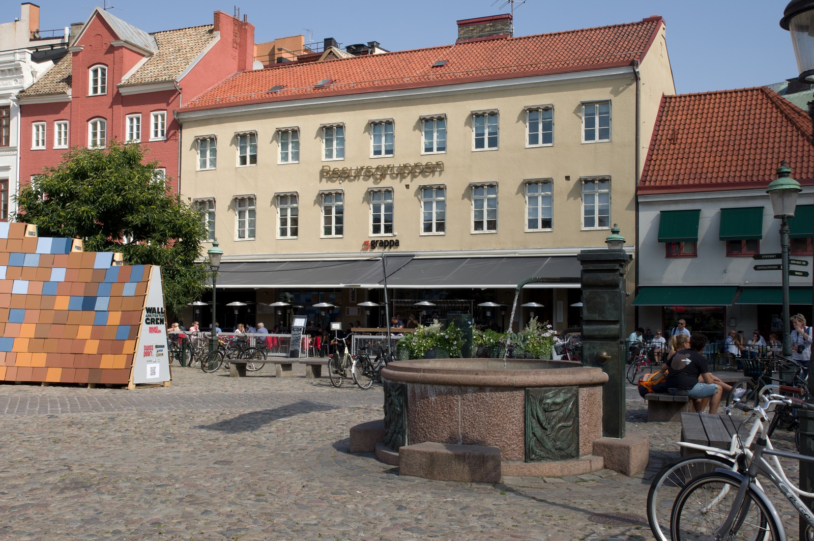
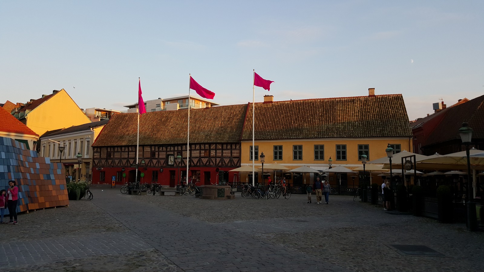
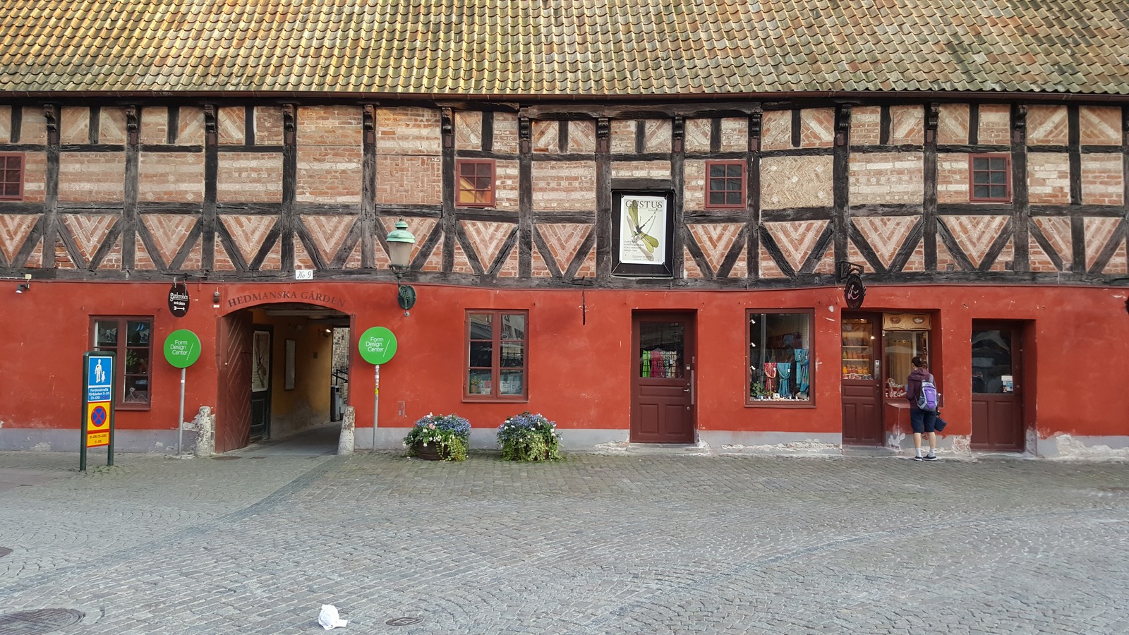
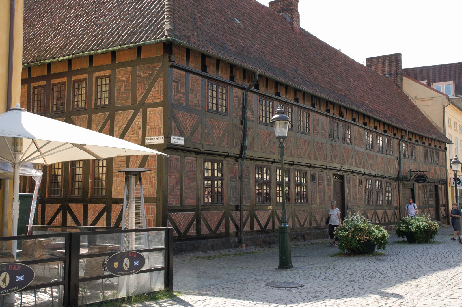
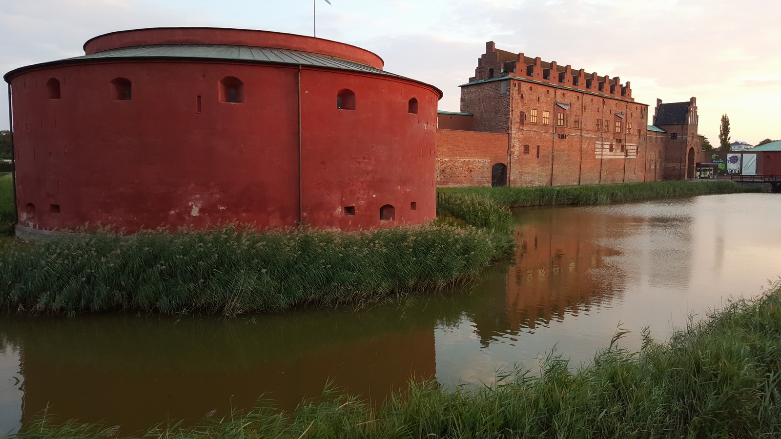
Malmo is a nice city
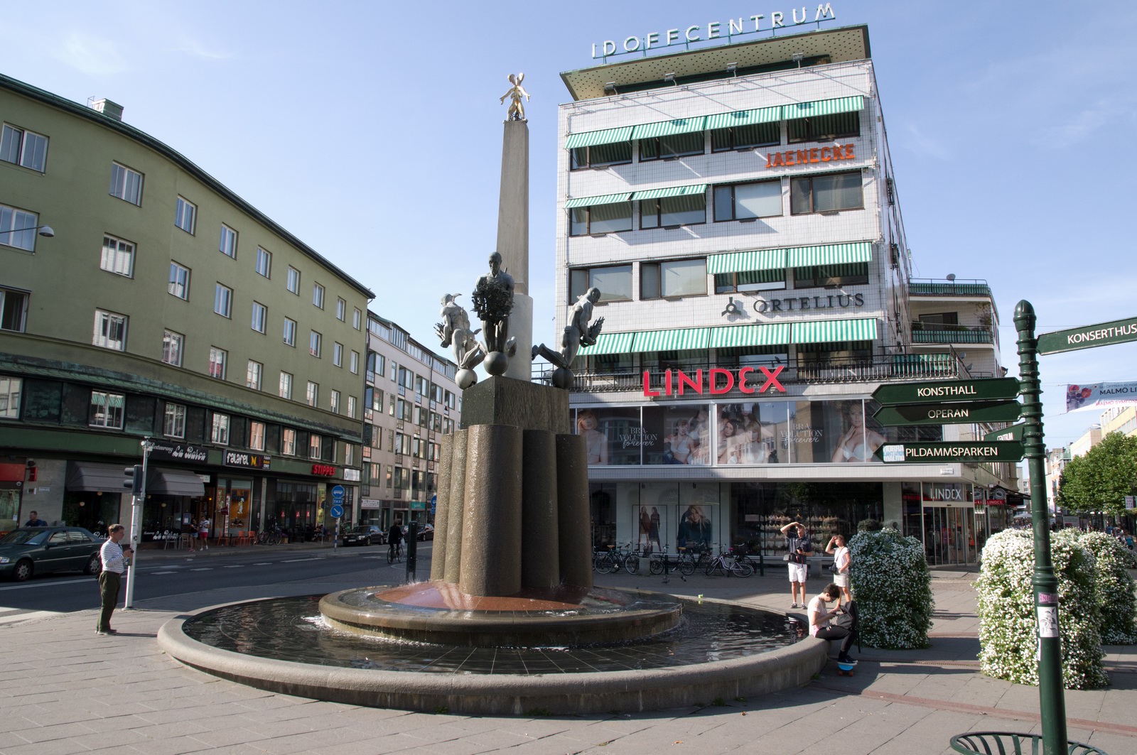
with some interesting architecture
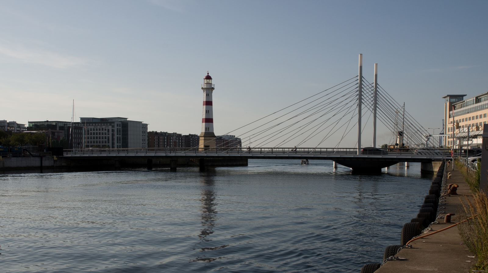
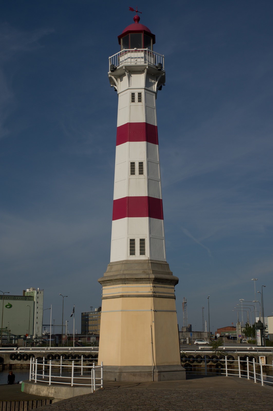
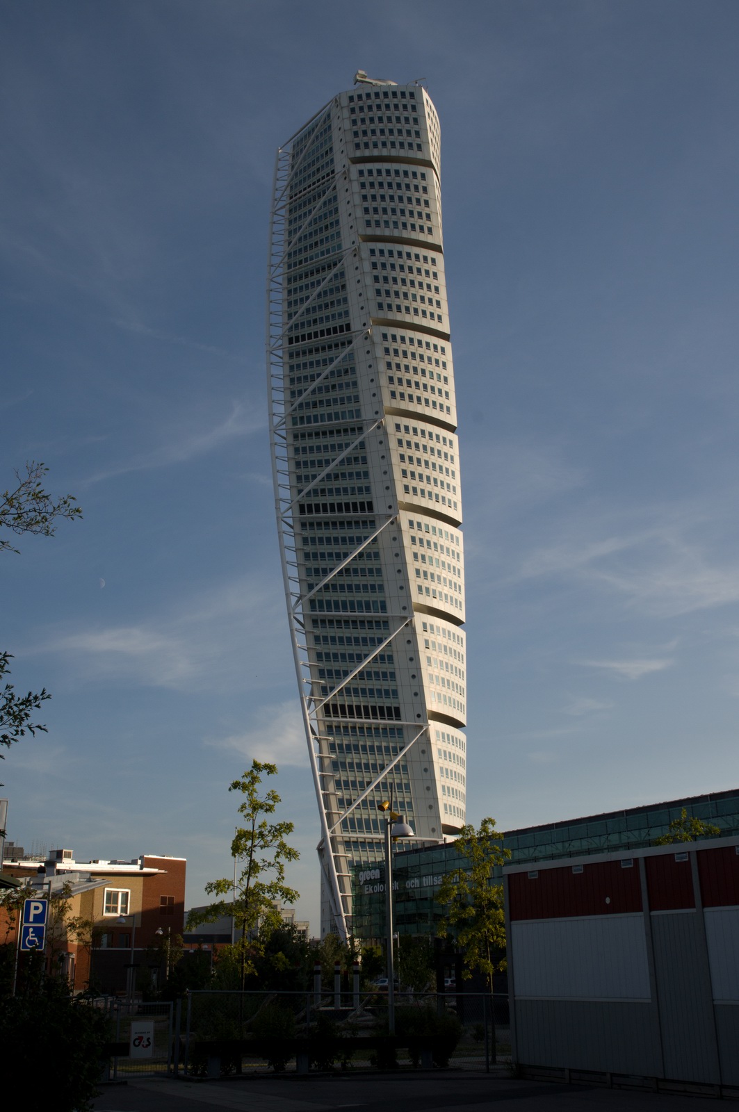
This is one of its most famous landmarks
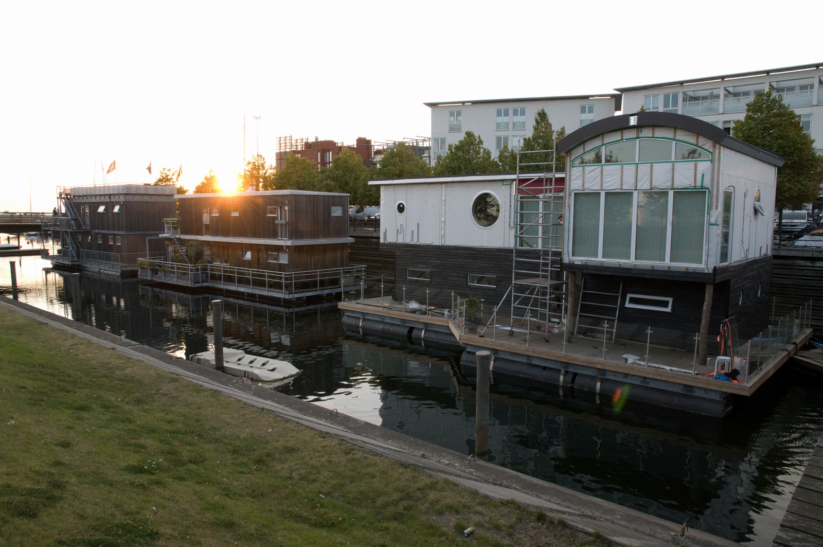
These are houseboats. Some years ago, one of them had a big party on it and
when the people all walked over to one side, it toppled over ![]()
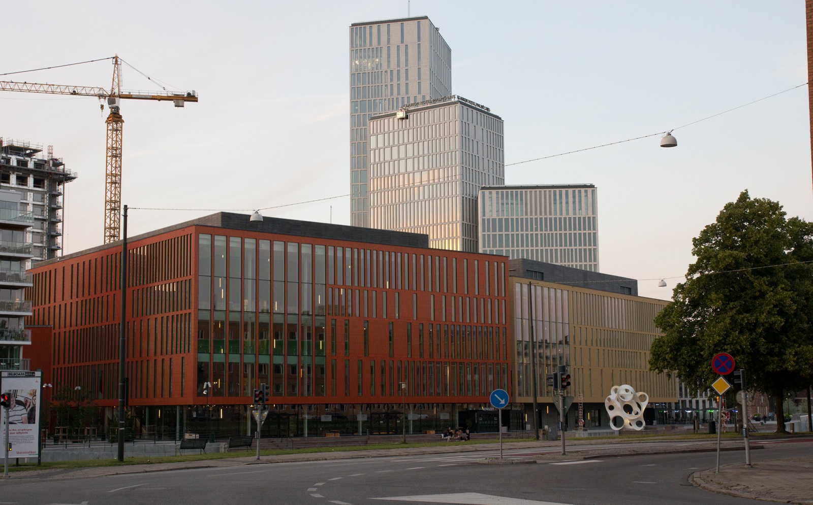
In the background is a miniature version of the US World Trade Centre ![]()
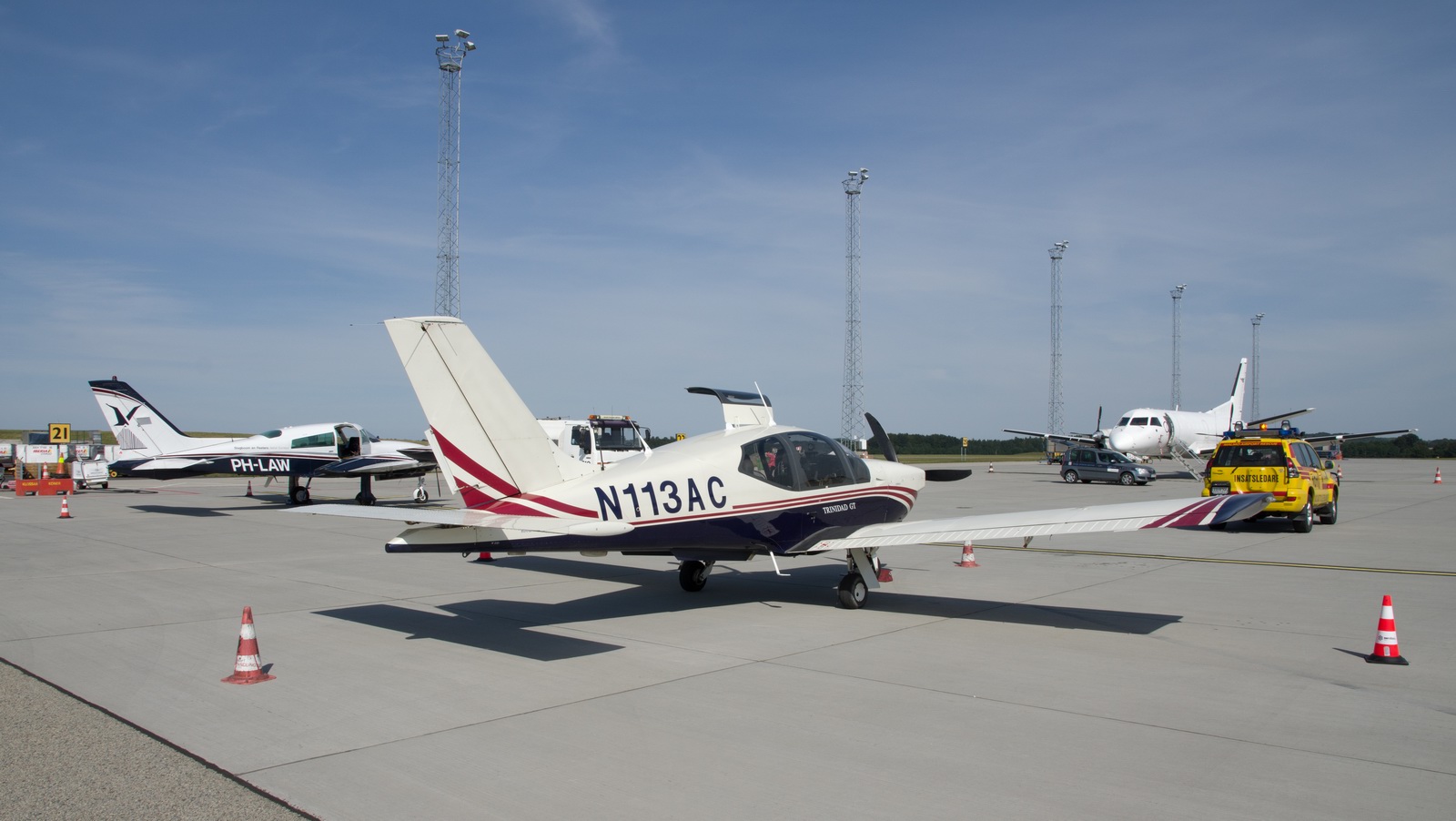
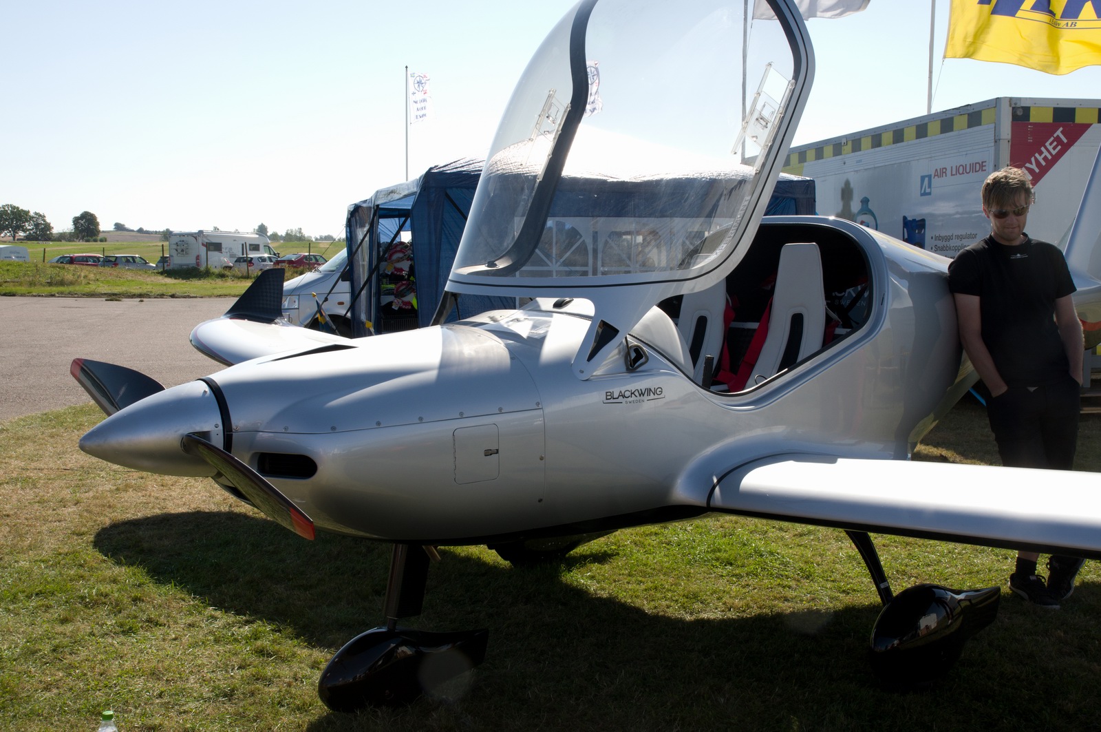
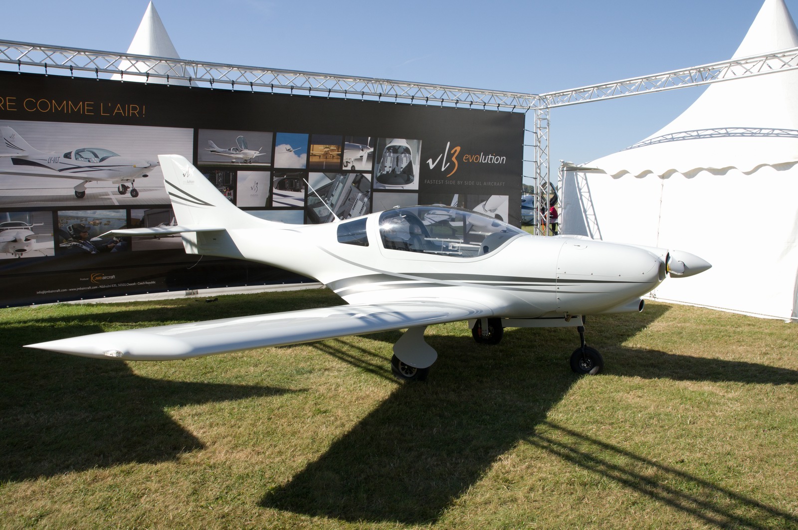
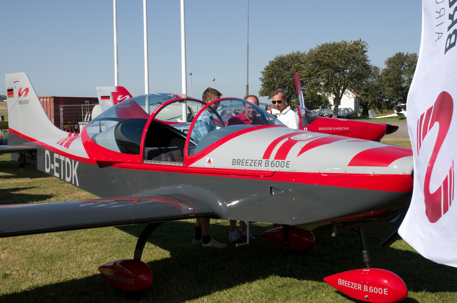
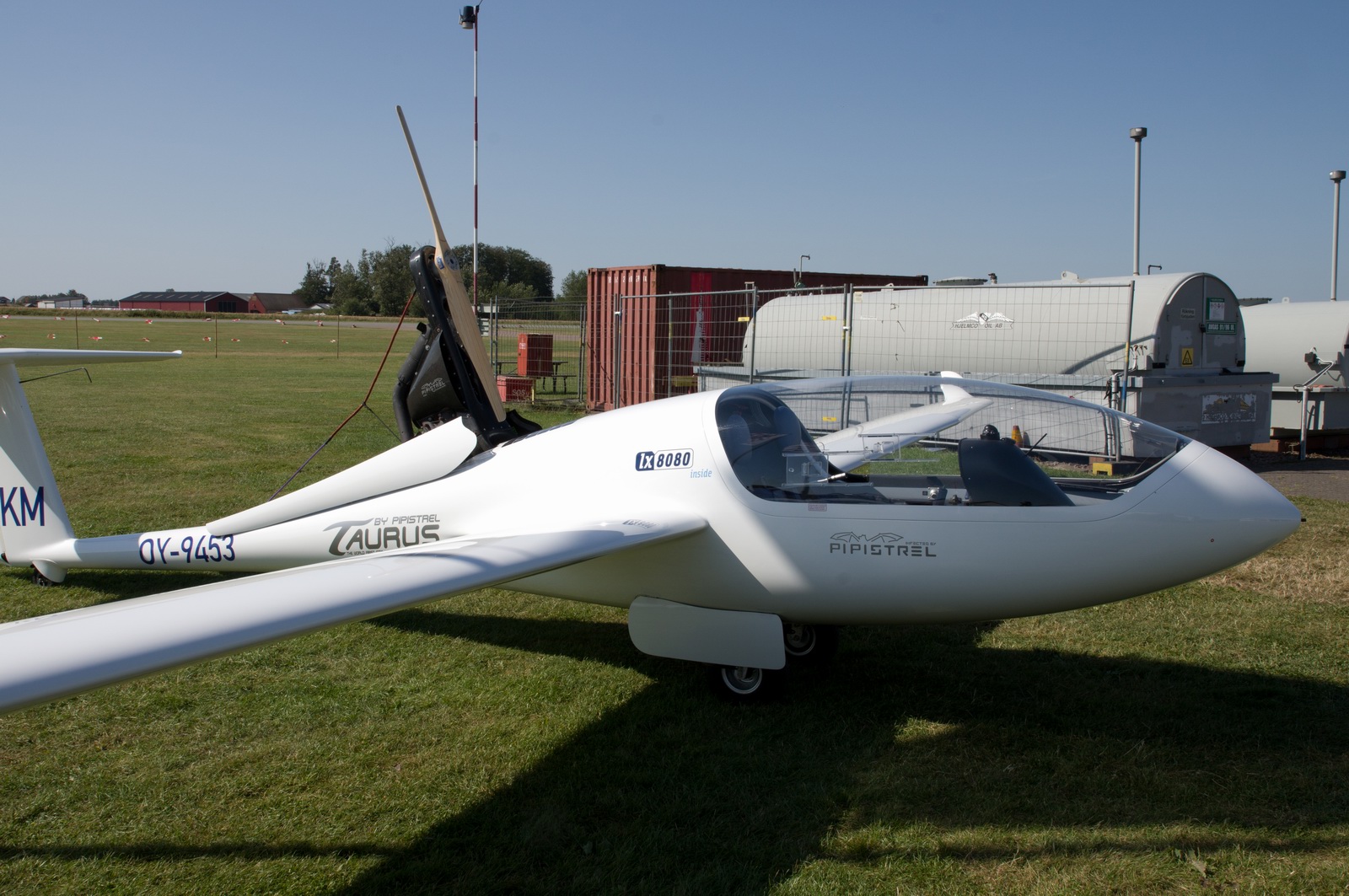
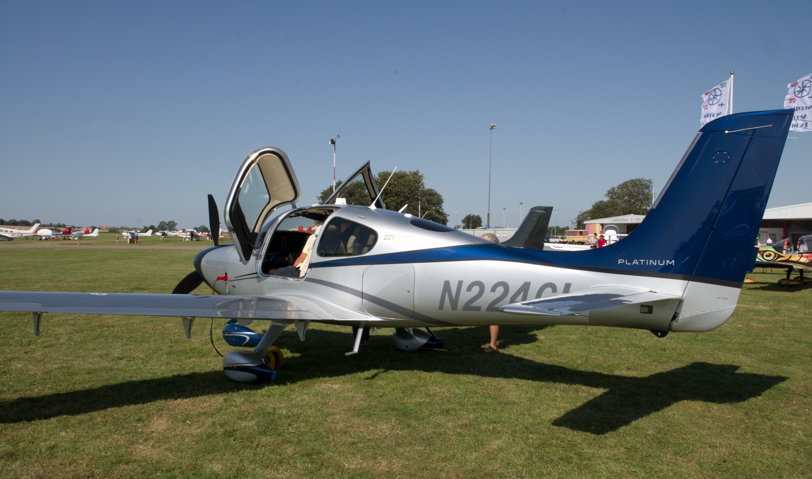
We went to a little aircraft exhibition at a local grass airfield
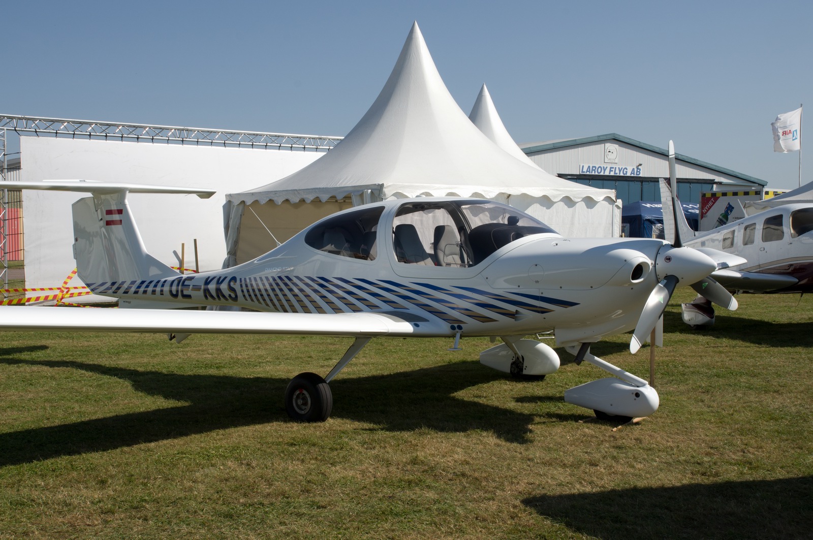
There was a $850k SR22 loaded with all the options
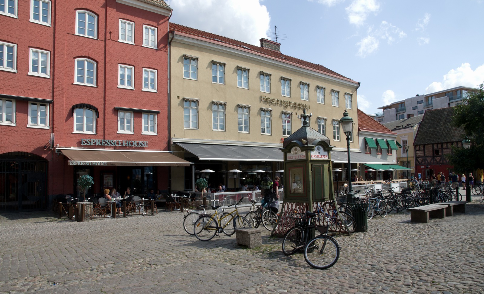
This was a really nice square in the town, with nice cafes etc
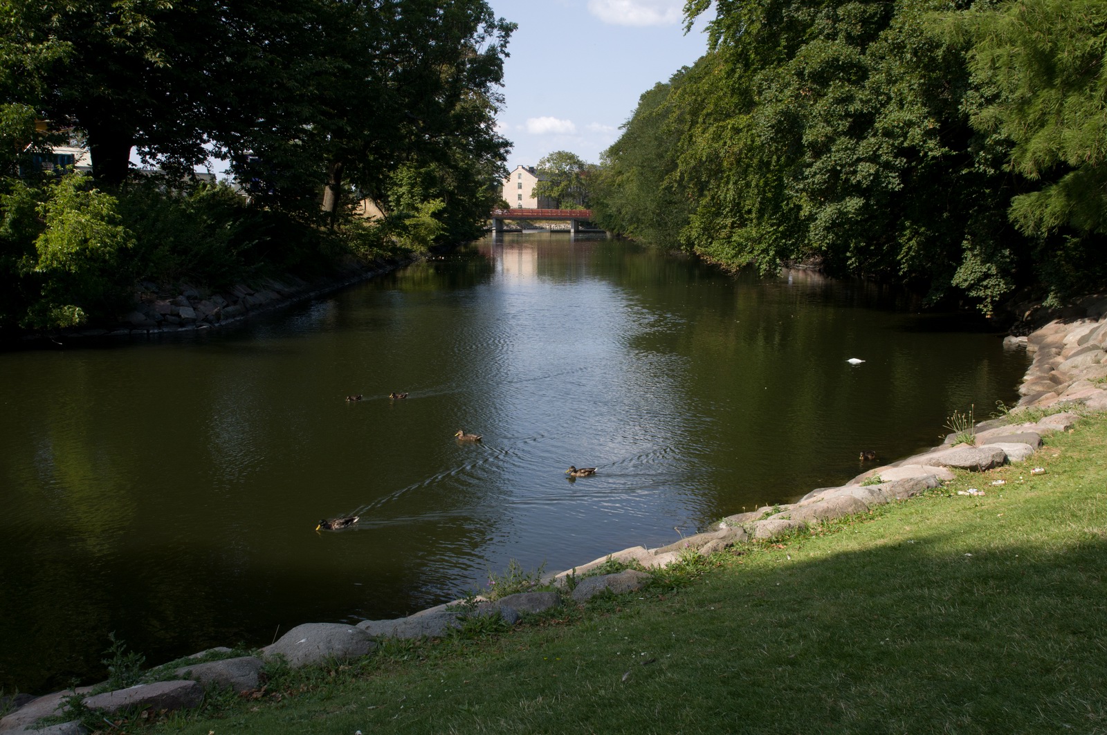
There is a lovely big park with lakes
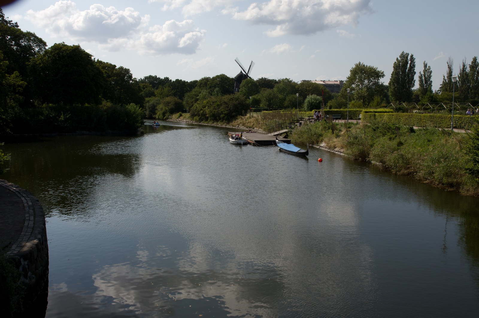
and a fortress/castle with an interesting history but no apparent means of getting inside
Return flight Malmo - Shoreham 24th August
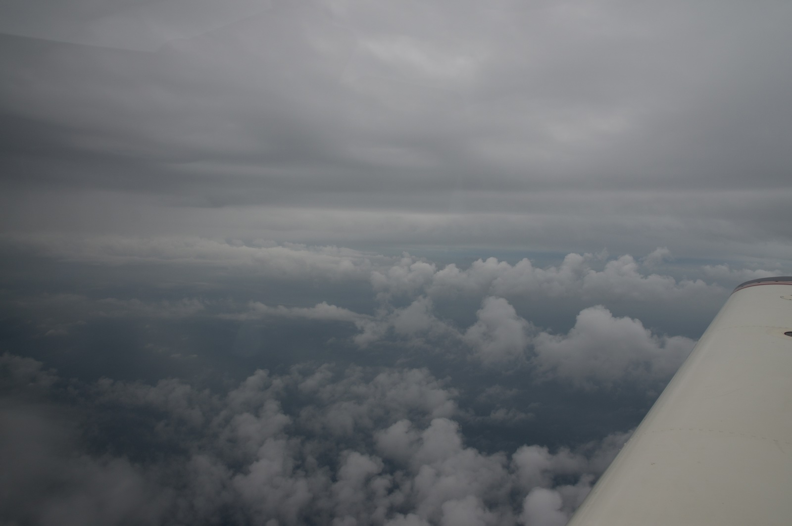
As expected, the flight home was challenging and I was working pretty well flat out.
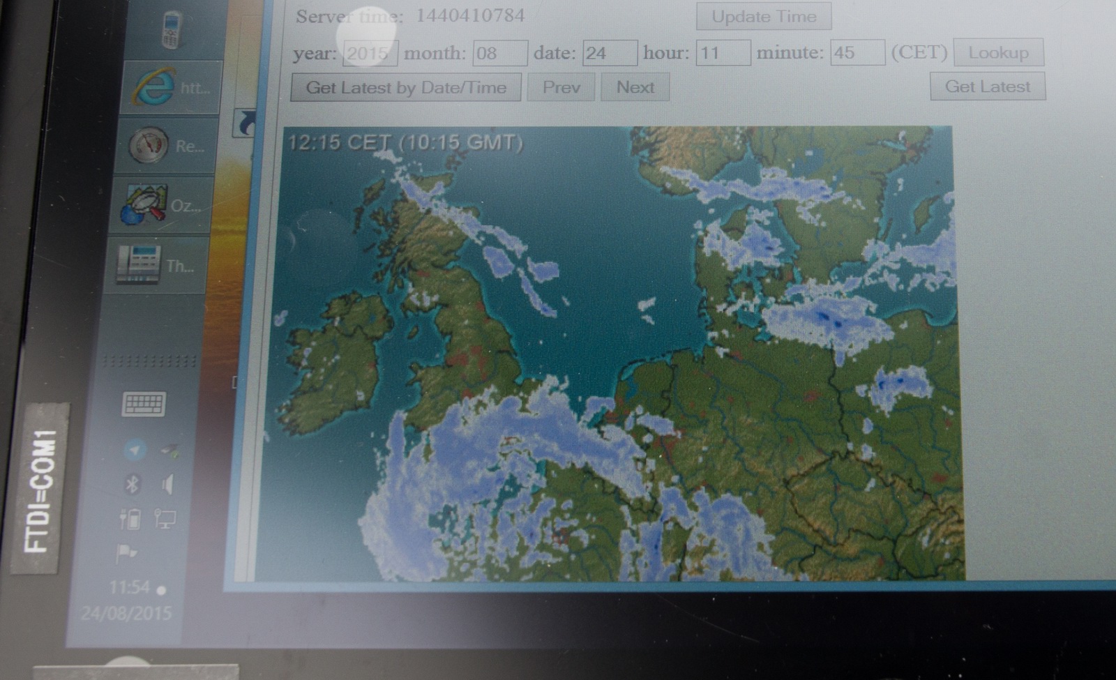
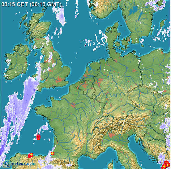
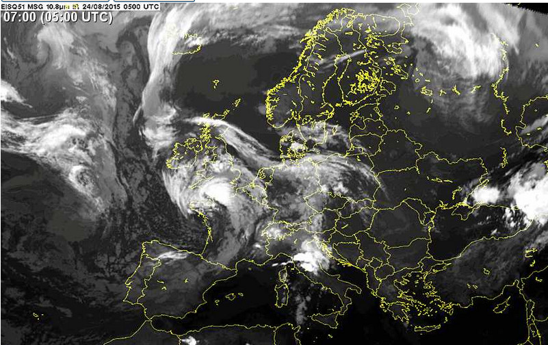
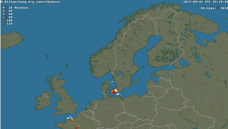
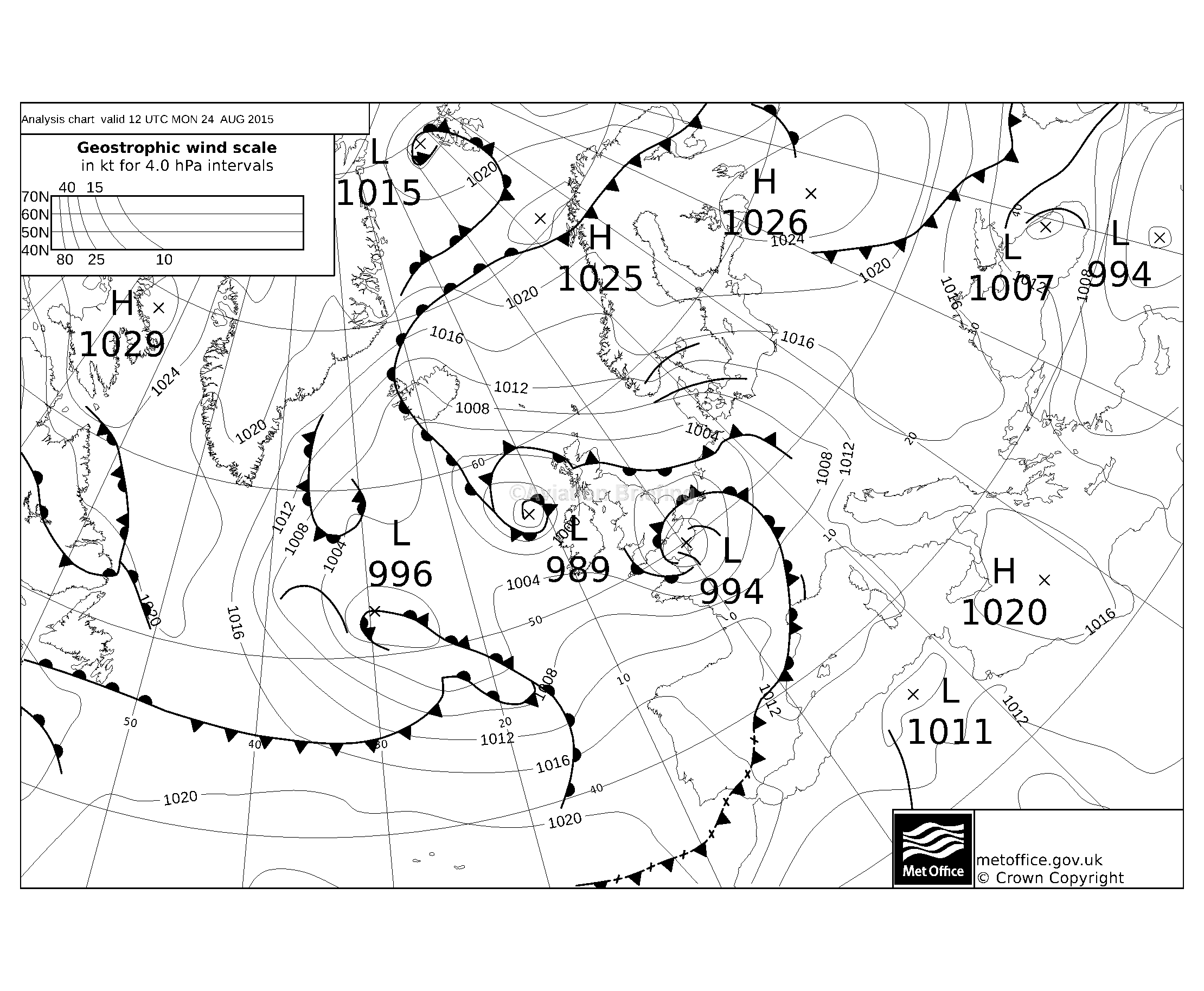
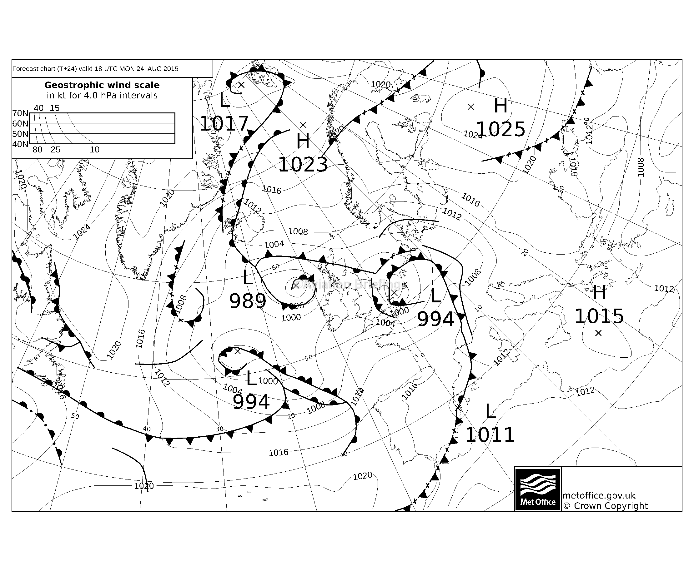
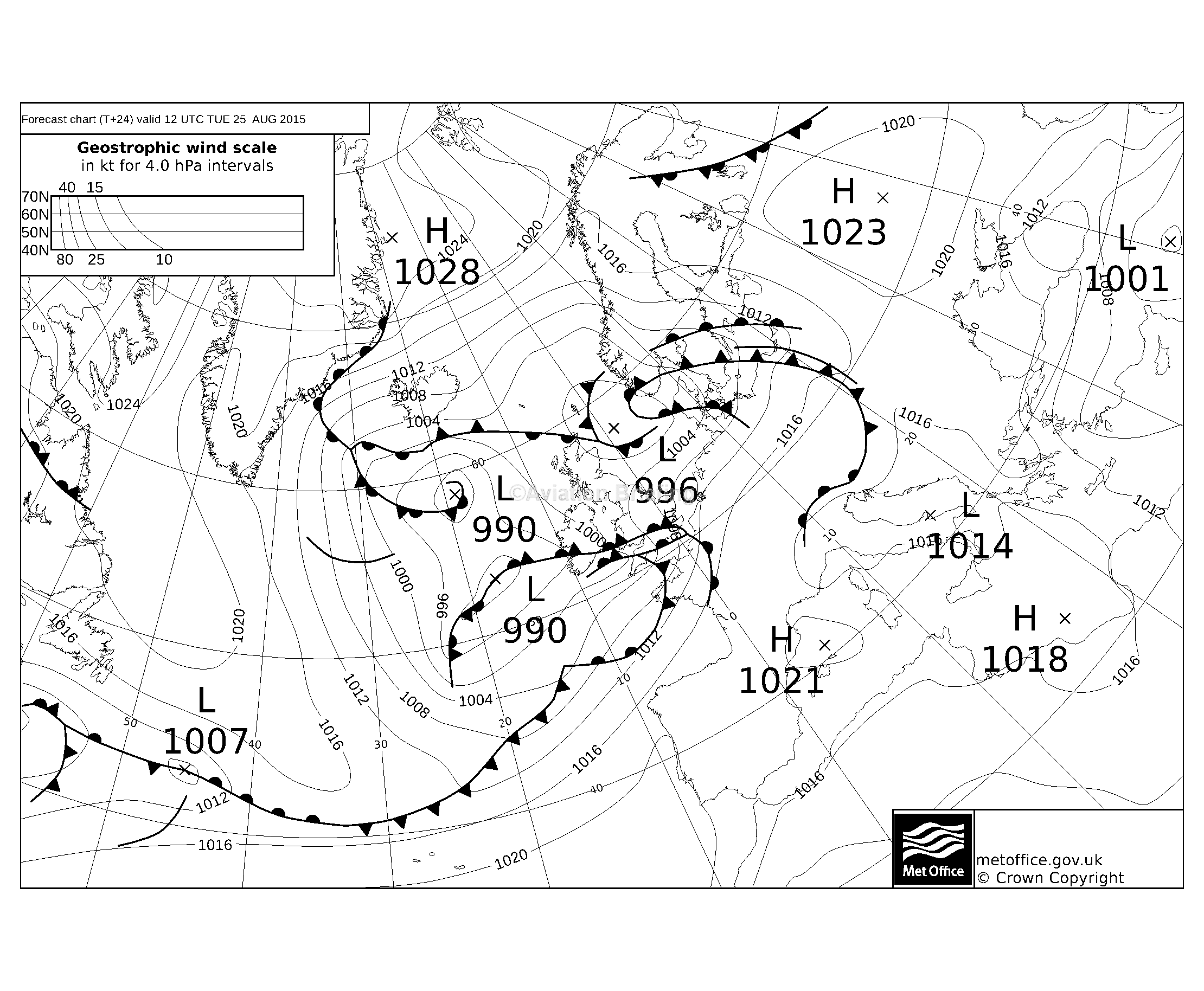
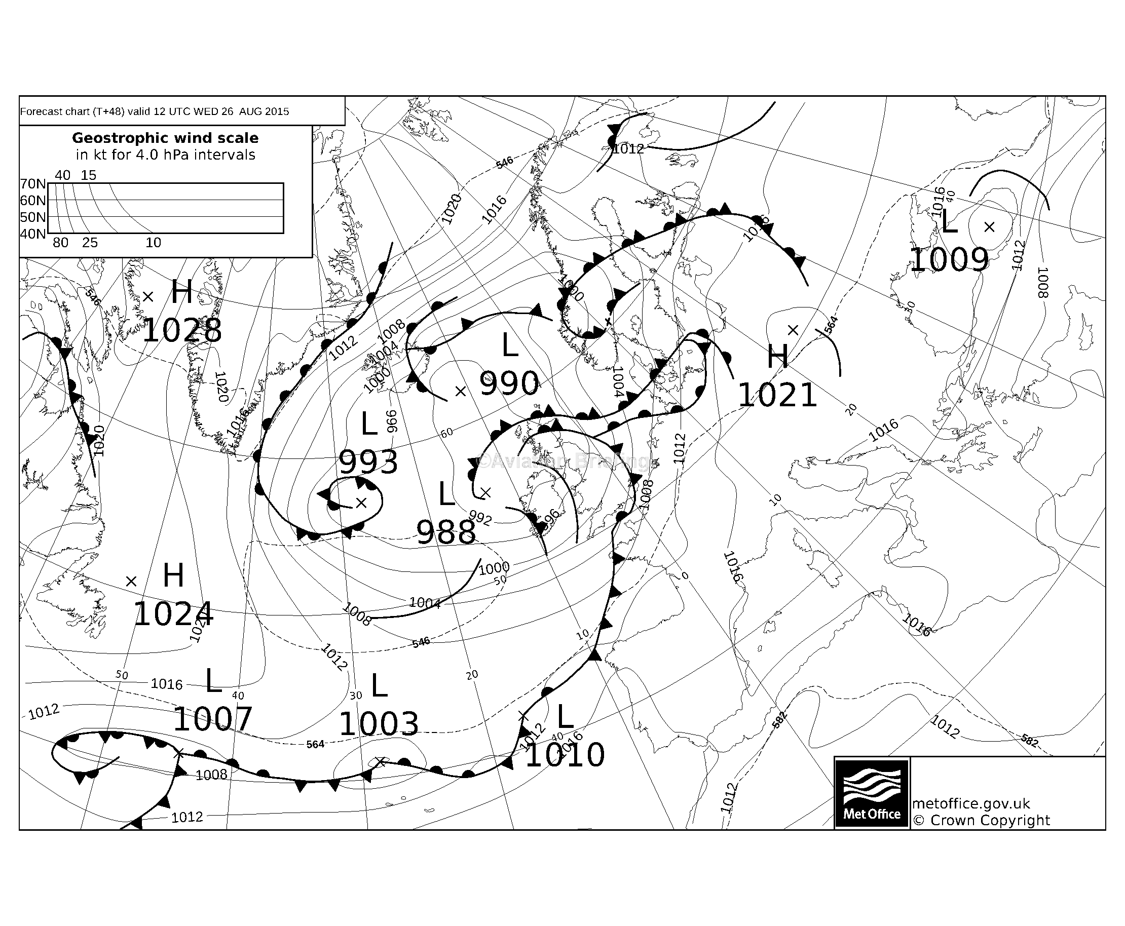
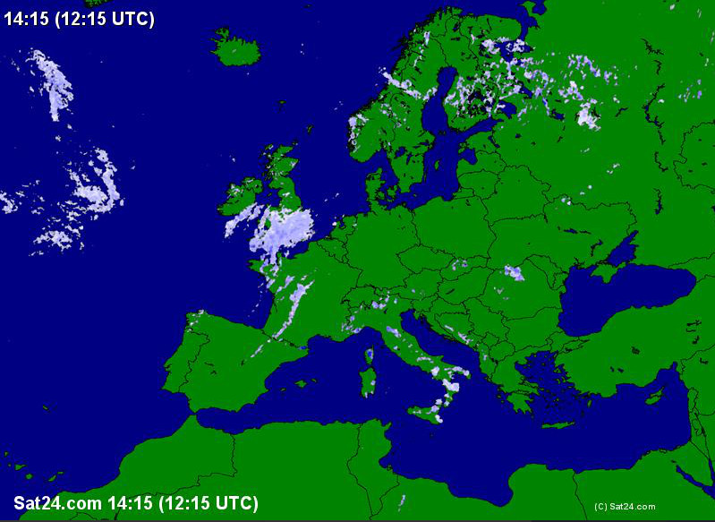
The TAFs/METARs Radar IR showed what might be expected i.e. lots of IMC. But the destination and alternates were all above minima. The sferics image showed lightning along the route but the route was completely clear by the time I got going. This IR image shows the cloud tops.
Plan B was a flight below the 0C level (forecast to around FL100) which should be fine in the absence of any sferics. Plan C was a dip down to ~1000ft and flying all the way along the coast of Germany etc, all the way home. That’s why I got all the airport data in the link above. But in the end Plan C was not necessary.
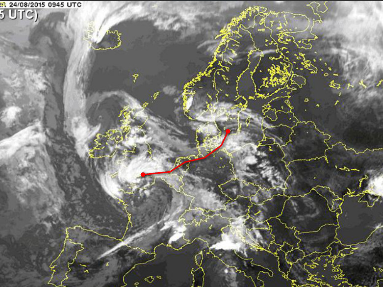
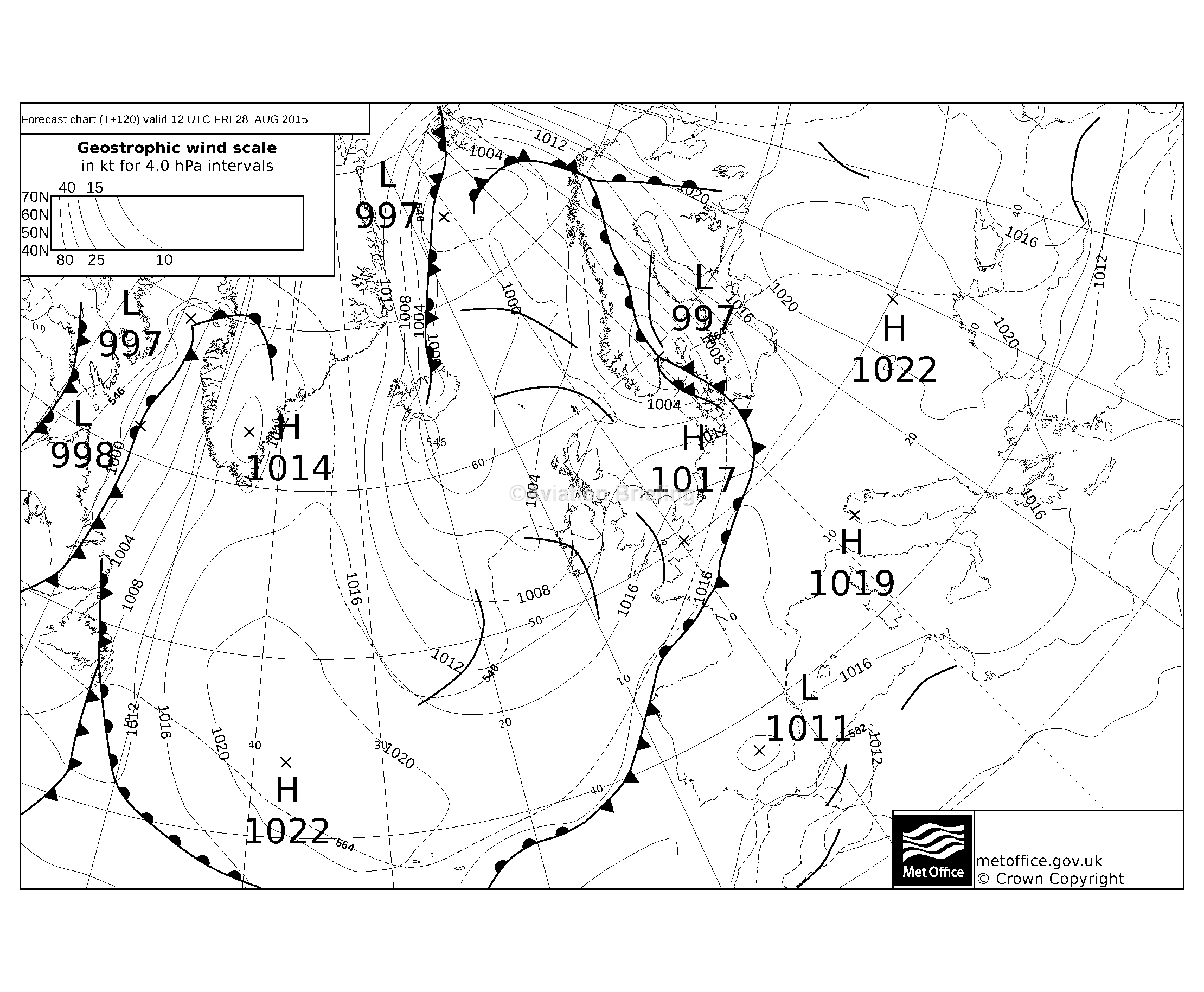
The MSLPs were consistent with the above: 1200 1800 Later charts day+1 day+2 day+3 day+4 did not show an obvious improvement in the near future, so no advantage in waiting a day or two.
The router briefing pack for this flight showed weather consistent with the above data, but it failed to show anything at the UK end. It did also show the 0C level to be around FL100 and this data is normally fairly accurate.
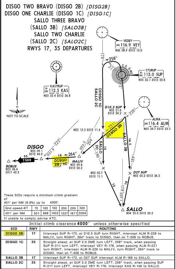
The departure clearance was DISGO2B SID, 7670, FL090.
The departure area was OK
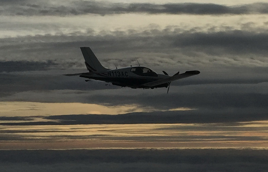
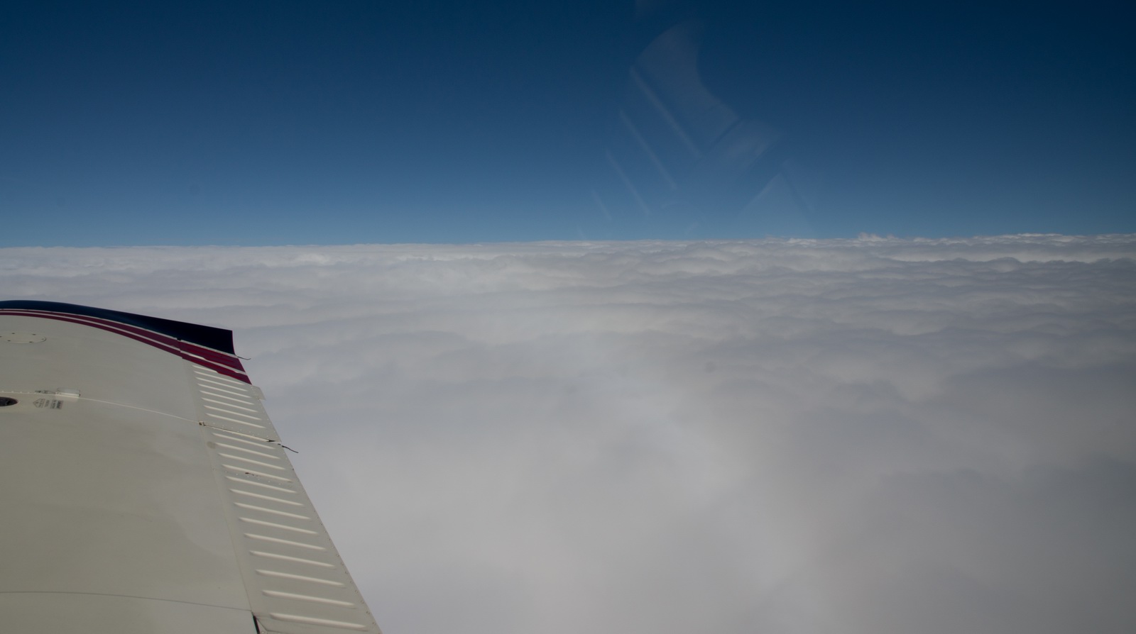
Soon I got a climb to the filed level of FL110. I headed upwards between layers and aiming for patches of blue sky, soon climbing FL150 and then FL180, then FL190

Here we are at FL190. The TB20 reaches FL190 quite quickly especially if below MTOW; probably 40 minutes. Anything above that takes a lot longer unless the air is cold (say ISA minus 10) but that's rare in the summer. Usually it is ISA plus 10 or even warmer. However I recall one flight, over Norfolk, UK, in May, where it was ISA minus 15 and the rate of climb was still an amazing +300fpm at FL195... they would not let me go higher because it is Class C above FL195.
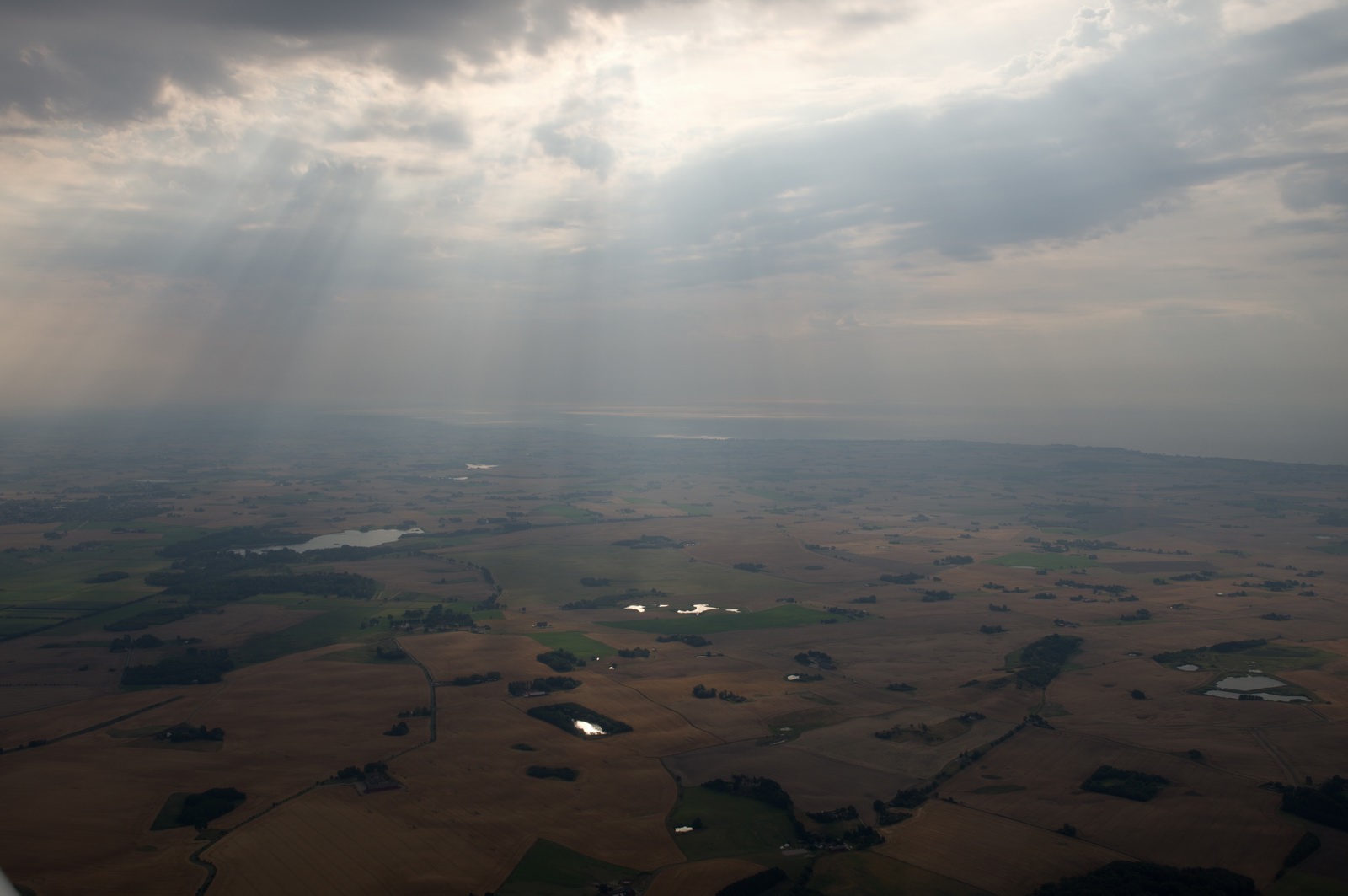
I had to fly well to the right of the track, to avoid the densest weather.
Temperature was -15C and it would be very rare to get icing at that temperature but I did get some. It was then not possible to hold FL190 due to the extra drag, so I descended to FL180.
In view of previously experienced fuel servo icing I was using propeller TKS when in IMC at the above temperatures. I also tested the alternate air and found that at FL180 it dropped the speed by 5kt. That is acceptable in cruise but the effect on one's rate of climb or operating ceiling would be substantial.
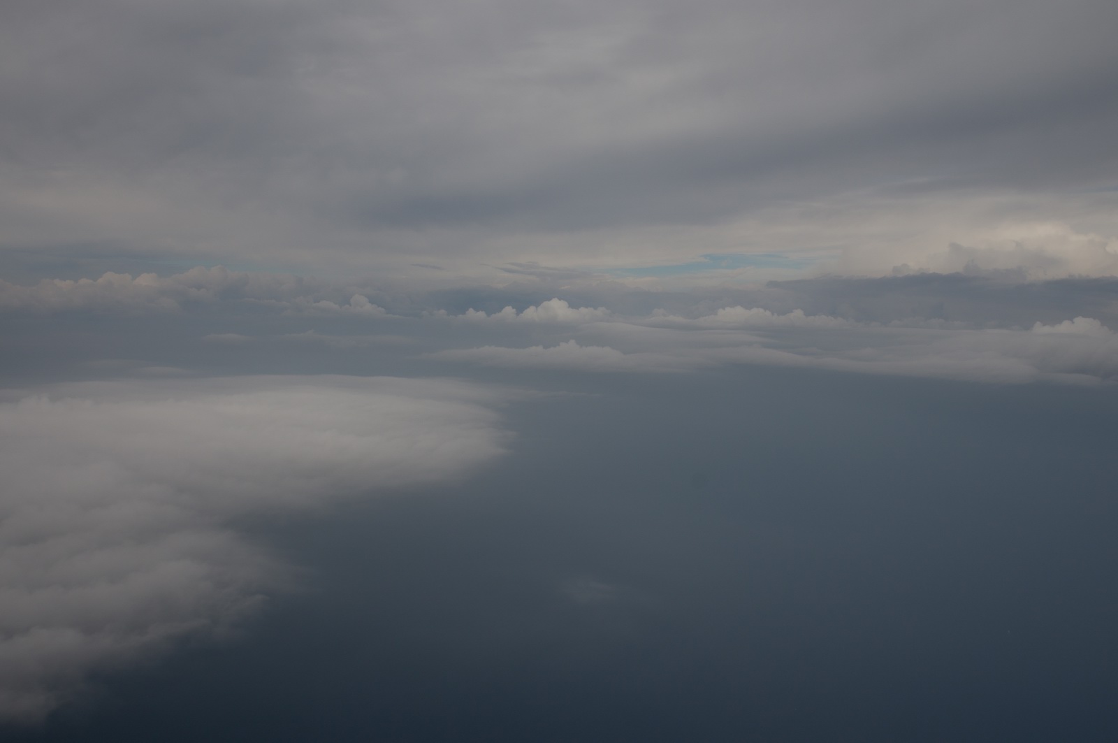
Around that time, the high altitude weather cleared up, into a welcome hour or two of blue skies
and the ice slowly sublimated away - took nearly two hours
Around Schipol I descended FL100, FL090, FL080 and then got a handover to London Control
Earlier on this flight I had problems getting the Thuraya XT satellite phone to work. It connected but no data was moving. I mostly use a private weather site, which obtains weather from the usual online sources, removes advertising etc and presents it in the highly compact form necessary for satellite phone access. This site is only 1k-2k bytes in total size so should load even over a very slow connection. I suspected some hidden process was downloading some huge amount of data. I found the little corner of win8 (in Task Manager somewhere) which listed the processes accessing the internet and in this case found it was the IE10 browser sending megabytes of data of "google cache" somewhere! I managed to block the IP in the firewall, but of course this is only a temporary solution because these "spy" processes have a means of downloading a constantly changing list of IPs so blocking one doesn't work for long. I should add this tablet (Lenovo T2) never had Chrome installed, so this must have been some google plug-in which got installed by accident at some stage...
With about $25 wasted before I found it, suddenly everything worked. Even the Telegram messaging app worked, over the 50kbit/sec GPRS connection ($6/MB). So I had an internet connection for much of the flight, so was able to continually check for TS activity (sferics), get metars, etc.
Later, on the ground, I did some changes at the server which enabled me to firewall "everything but" on the tablet, letting through just a couple of private weather sites, plus the Telegram messaging app (which also provides a very good weather service - see further below). The connection is now much more reliable.
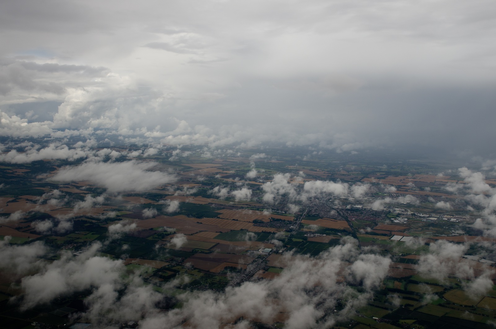
Nearer the UK (I asked for a shortcut to DVR, due to bad weather to the left showing in the radar images) it became darker and here we are between layers. The temperatures were always above 0C at this point
The UK end was some of the heaviest rain I have ever seen. It got the dead files off very nicely! And not a drop leaked inside. It made me realise - yet again - what a brilliant aircraft the TB20 is. It just sits there, in this crap, with the 140kt raindrops so loud you could barely hear the engine, with the MP never budging (maybe a tiny drop of about 1/4" during the absolutely heaviest rain which must have been out of the bottom of a TCU – needless to say I was watching the MP very carefully!).
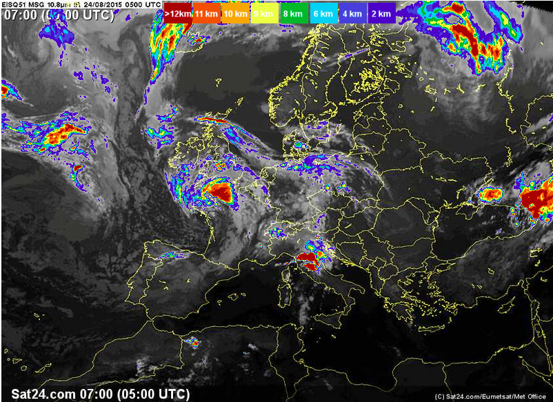
This is a later radar image. This is a later IR image.
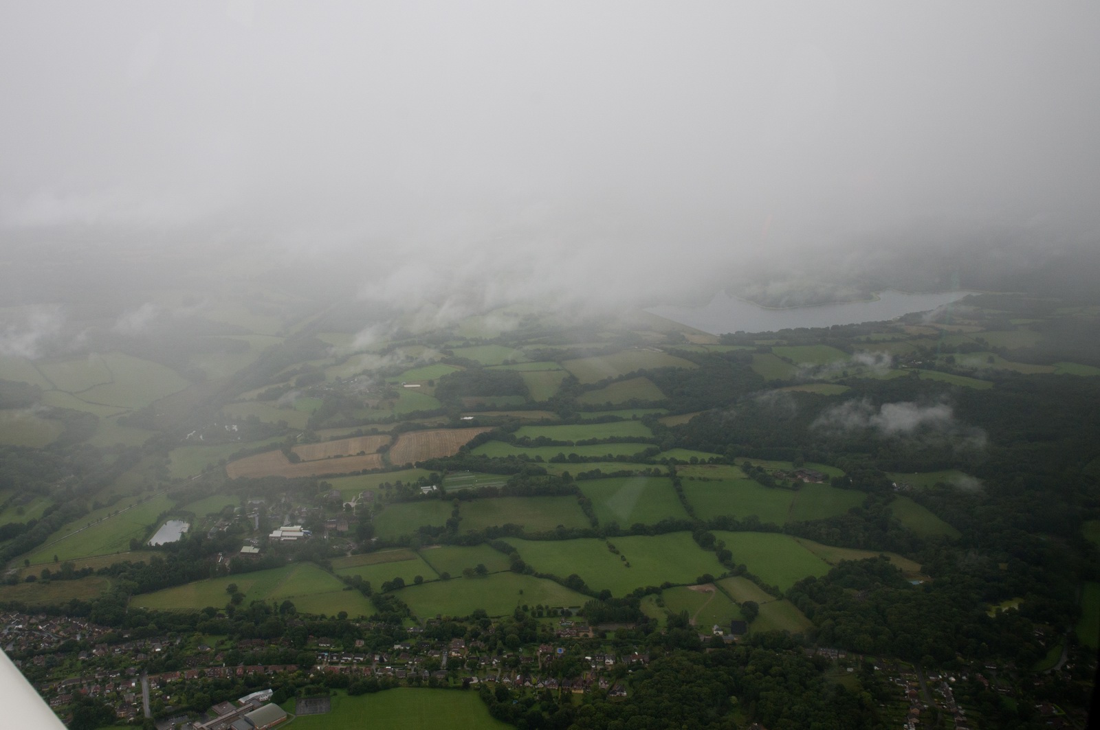
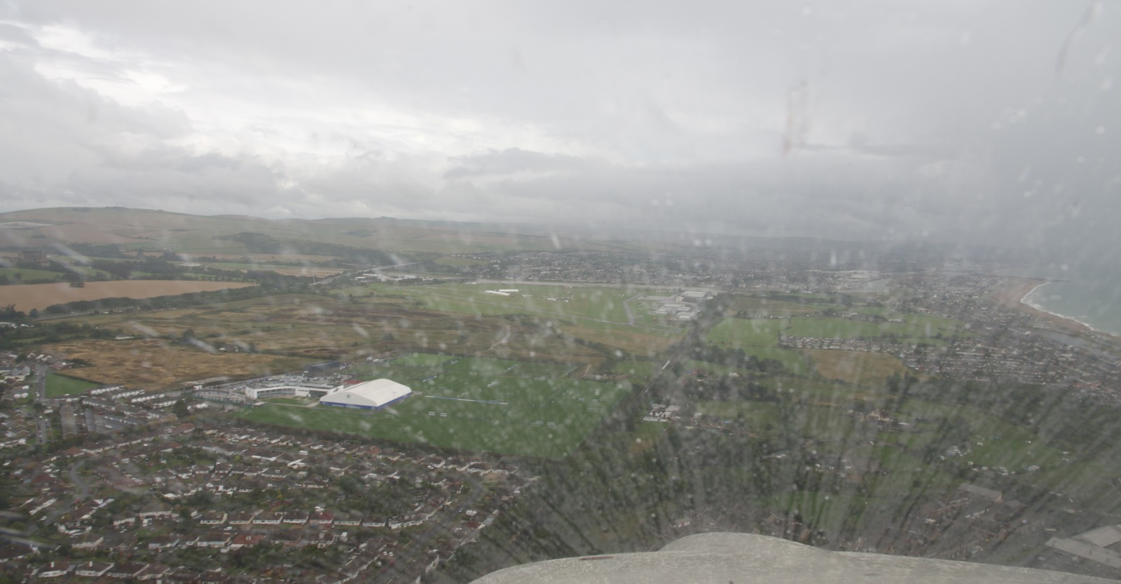
This is somewhere south of MAY, with about 20-30nm to run
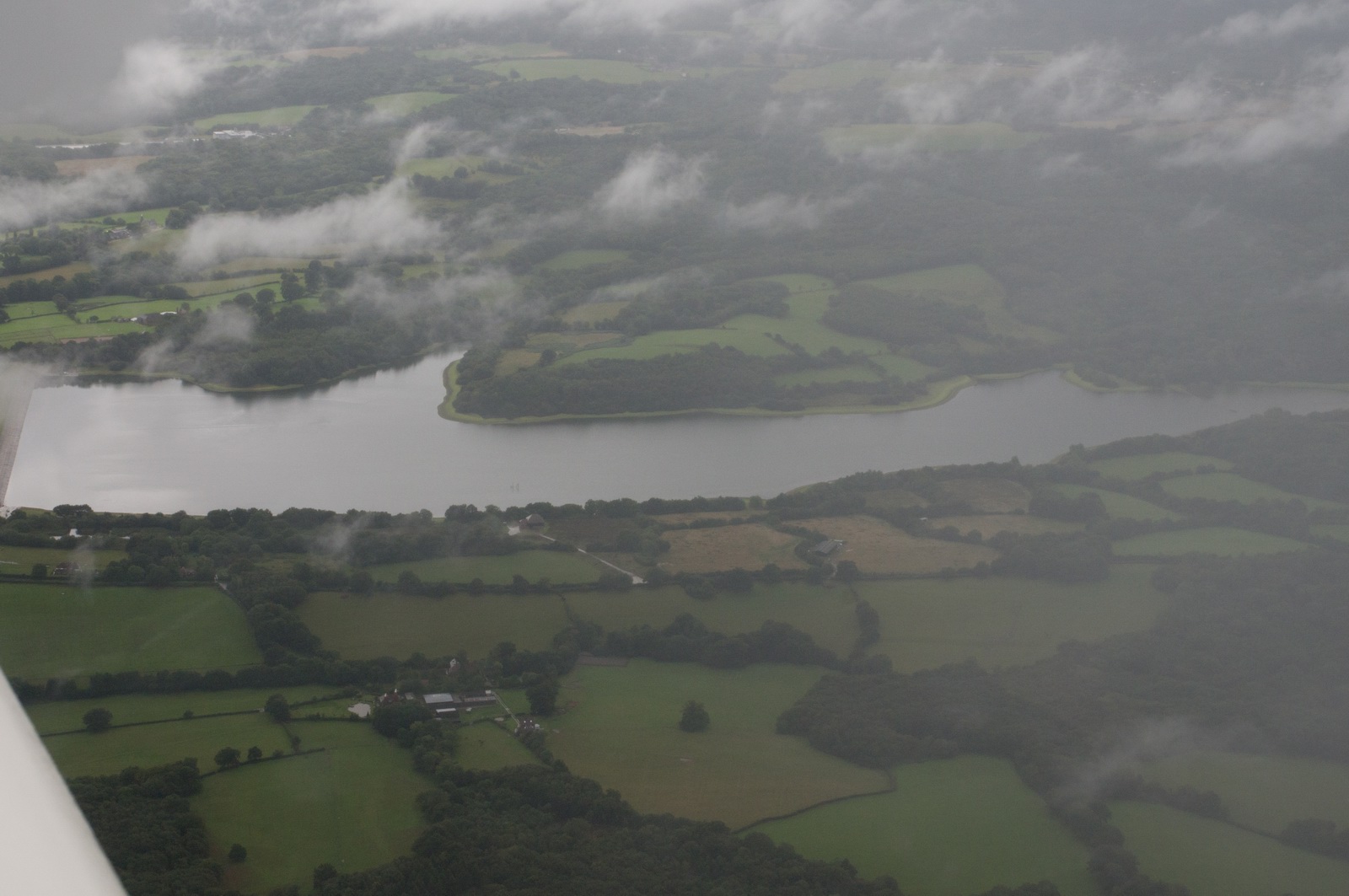
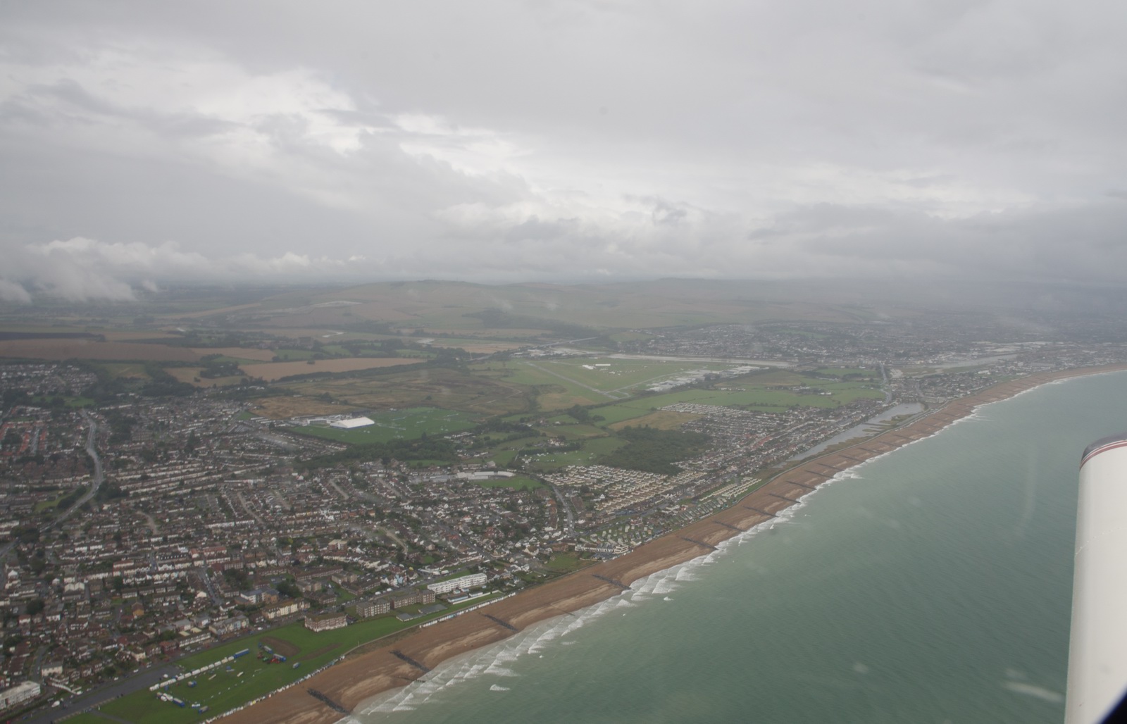
That lake is a landmark known to everyone who did their PPL at Shoreham, but
not in this weather ![]()
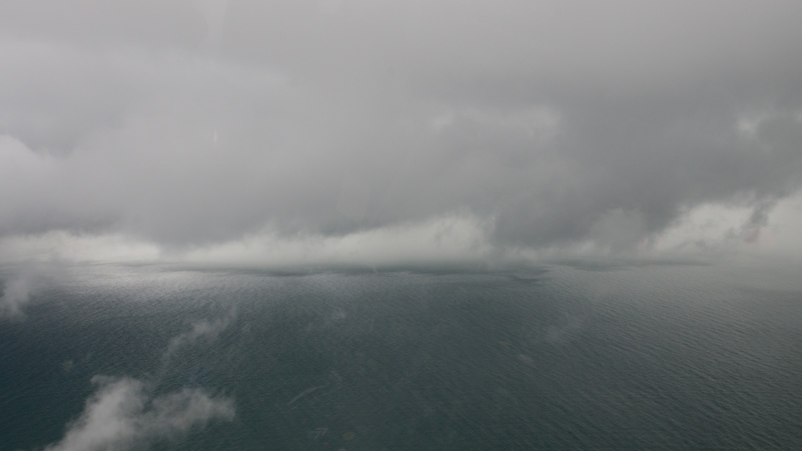
This is actually a patch of very dense fog over the sea, lying on the water
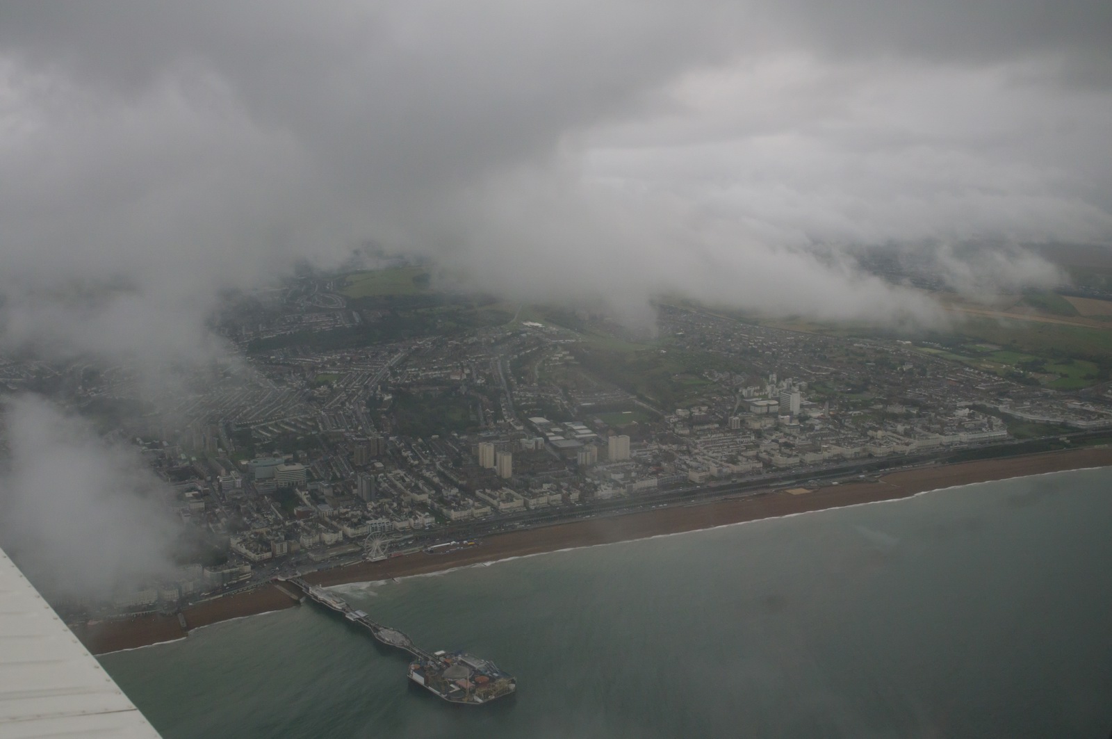
Brighton pier
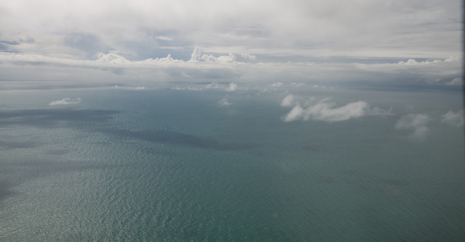
Weather to the south of Shoreham was nice, which was good considering I was approaching from there
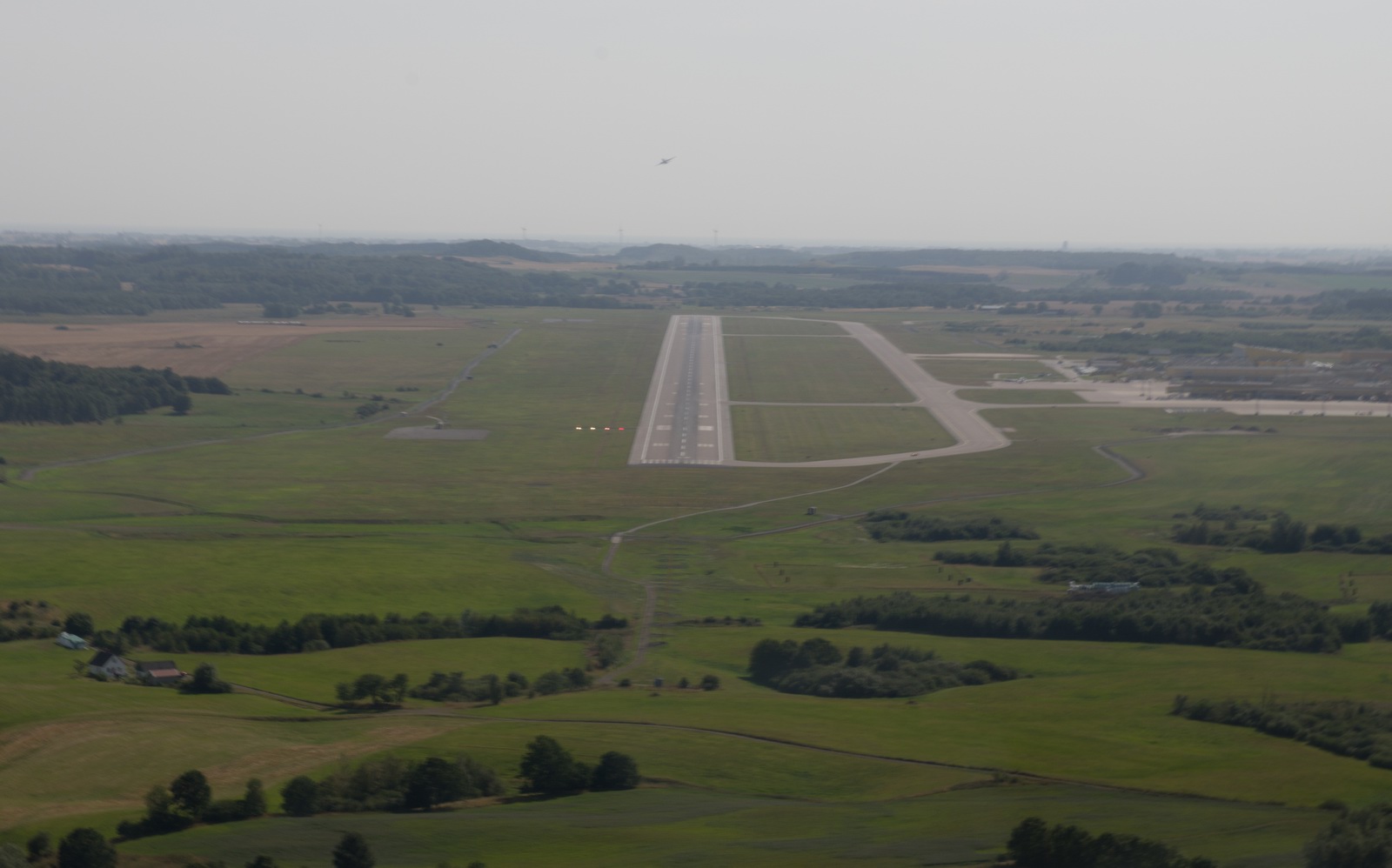
Here we are positioning for right base for 07 which is grass. The hard runway appropriate for the wind (02) was closed due to recovery work following the Hunter jet crash 2 days before. The other end of it (20) was closed too because they didn't want aircraft taking photos of the crash site...
More rain on final approach…
This was the first time since I got the TB20 in 2002 that I landed on the grass runway at Shoreham. The 25kt max demonstrated crosswind capability and the ease of actually using that has never made it necessary. It was fine but rough...
You can see which bit of the route (very roughly drawn here) was the blue-sky bit
The flight was one of the most difficult ones I have ever done, not because of dangers (there was always Plan B and Plan C and the stormscope was clean all the way except to the south east of ESMS where I wasn’t going anyway) but because one had to “work” the whole time.
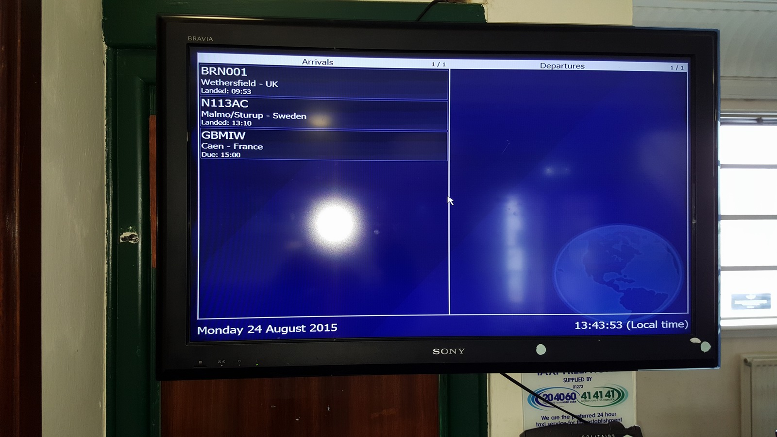
I was one of just three arrivals during the entire day...
Landing was with 32.9 USG – enough for 3 more hours in cruise.
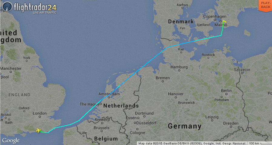
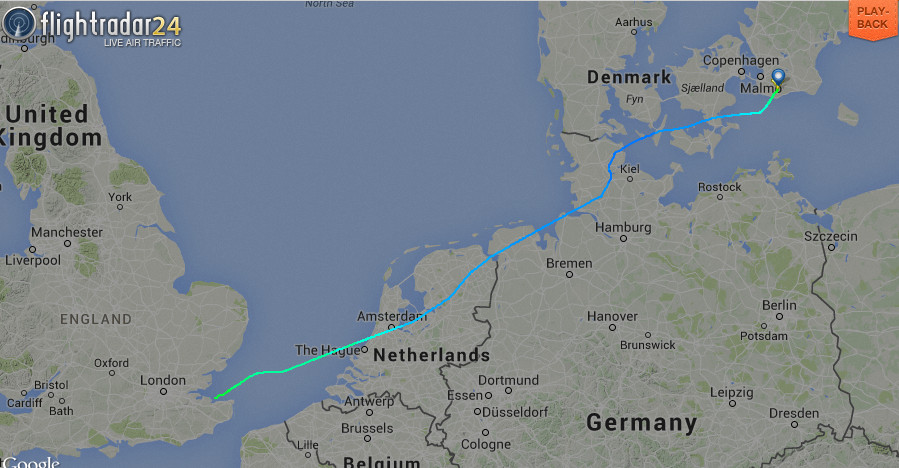
Actual tracks flown (actual in black)
Outbound
Return
The recorded track ends when London Control handed me to London Info (FIS on 124.60) who gave me another squawk and seemingly cancelled the Eurocontrol portion (without telling me they cancelled IFR!). I got rid of them ASAP because they don’t offer a radar service and keep asking for estimates to places… this is a charade because they do have radar but are not radar ATCO pay level so they have to pretend they can't see you. I just asked for a frequency change to Shoreham which they thought was strange since I still had ~70nm to run. I actually called them up a bit later again to get them to phone Shoreham to check it's open (it had been notaming sporadic short closures due to the accident wreckage recovery process) and they transferred me to Farnborough East soon afterwards, which is a radar unit.
The corresponding tracks from FR24 are:
Airport costs - Malmo ESMS (August 2015)
Landing fees : GBP 30 (actually called "takeoff charge")
Customs fees : 0
PAX fees : 0
Parking fees : GBP 18 (2 nights)
General
This flight provided another good opportunity to test the amazing new weather facility delivered over the Telegram messaging function (available free of charge to users of the EuroGA autorouter). It can deliver the usual TAFs/METARs and various graphical products including the GRAMET forecast profile. You can find details of this on EuroGA - search for "Telegram".
The Telegram app is available for smartphones
running Android or IOS, and exists in desktop versions (Windows and Mac). It
is similar to the much more popular Whatsapp instant messaging app. The weather
facility was originally implemented on Whatsapp but Whatsapp prohibits delivery
of any machine generated data, and they banned it within hours. Telegram specifically
enables this usage and has various improvements over Whatsapp. One of them is
an instant concurrent and very slick sync between an app running on a phone
and an app running (on the same user) on a PC, and the PC app works even when
the phone has no internet connection (Whatsapp sends all messages via the phone
even if you are using the PC version). Another is better privacy, especially
after Whatsapp has been taken over by Facebook so Facebook now has everybody's
mobile number and is using the data to trawl for "people you may know"...
These instant messaging (IM) apps are taking over from SMS for various reasons.
They work over any mobile data connection and thus they offer a more reliable
delivery in most situations. For person-person messaging, you can tell when
your message has been actually seen (when it is presented on the phone,
on top of other apps, with the screen saver off, etc). With SMS you can tell
only if it has been delivered to the phone. Of course, some people prefer that
you can't tell if or when they have read your message, but they are probably
not the sort of people you want to waste your time with ![]() More info here
More info here
The Telegram app needs an internet connection and there is no magic solution for that using cellular data above a few thousand feet, but on a flight of several hours one can get maybe a dozen opportunities for it to get online and send/receive the messages. It works best in mountainous regions (where the mobile towers are configured to point slightly upwards, and works much better where LTE (also called 4G) is available. 4G is a separate network from the normal GPRS/3G networks and - crucially in this application - is much faster in setting up the connection (the whole DHCP etc process happens in about 1 second).
However, for a reasonable reliability a satellite phone is still required and I use the Thuraya XT. This finally has Windows 8 drivers and I use it, over a USB connection, to get a 50kbit/sec data connection with the Lenovo T2 tablet. At that speed one can access most weather websites, although I tend to use a couple of private sites which access the well known ones and strip off the advertising which would otherwise consume huge amounts of data. The Thuraya GMRS data cost is $6/MB which is very reasonable for this application.
Very little oxygen was used on this trip - probably 30% of the 48 cu. ft. cylinder, for 1 person. But without oxygen I would have never attempted it because one cuts off half of the aircraft operating ceiling and in the wrong conditions could spend most of the flight in icing conditions and turbulence. Normally I fly VMC on top but on Eurocontrol routings that pretty well mandates oxygen.
The Value of an IR
This trip could have been done under VFR, probably around FL095/FL105, on the way out, and at a very low level (1000-2000ft) on the way back.
Flight times (airborne times)
EGKA-ESMS 4:25
ESMS-EGKA 5:00
Gadgets
No trip report can be complete without this bit ![]()
Most of the photos on this trip were taken with the Pentax K3 DSLR with the 16-85 lens and this totally outclasses anything which is pocket-sized. Some of the ground photos were done with the Samsung S6 phone which at time of writing has the best camera of all phones in current production. The Pentax photos were taken from the phone in DNG raw (the camera takes jpegs to one SD card and raw to a second SD card) and processed in Lightroom to crop and remove some haze. The other program I use instead of Lightroom is ACDSEE PRO which is easier to use in the way it can be used on any randomly chosen picture folder (whereas the Lightroom workflow is a lot more formal) but most professionals use Lightroom and once you are working on a project comprising of say 100 photos it just works better.
In theory one could do everything needed on a trip with just the Samsung S6 phone. It can be used to get weather, file flight plans, and do all the normal comms with other people. It can even take fairly "ok" photos. I have the Samsung Galaxy T705 8.4" tablet which works really well. It is functionally practically identical to an Ipad (which I have too, kicking around the house) but is much better for a "power user" because it isn't as restricted as an Ipad. For example it can be expanded with a micro-SD card; say another 64GB. Apple have never allowed any such storage expansion. The tablet also tethers perfectly to the S6 phone for internet connectivity.
The T705 is the 4G version of the T700. The capability to use a data SIM card
is a potentially useful feature; on a longer stay at one location one would
buy a local data SIM and pop it in there, and the tablet can operate as your
private WIFI access point. In the past I have used the E586E 3G/4G-WIFI modem
to do the same job, but that was plagued with practical problems in countries
where phone shop staff are unhelpful. Typically, over the counter data SIM cards
need a crazy config process to make them actually work (usually something like:
disable the PIN, purchase a credit voucher, go to a website and apply it to
the SIM, etc) and since the E586E has no keypad/display, verifying operation
in the shop needed a client device connected. Whereas turning up at the shop
with a tablet which has a SIM card slot presents the shop staff with a much
simpler proposition which they cannot easily weasel out of - it either works
or it doesn't ![]()
However, I have found that the main thing which a tablet does better the S6 phone is in offering a bigger keyboard. In the end, one cannot beat a proper laptop for sheer productivity, and I use a Lenovo X230-I7 which is does basically everything anyone could ever need and with the I7 processor is very fast - fast enough for movie editing/rendering and faster than most of today's ~3GHz desktop computers. The X230 is now obsolete and has been replaced by the X240-I7 and here is an example of a version with an SSD which is similar to mine which I upgraded myself with an SSD.
In the aircraft I run a Lenovo T2 10" tablet with Windows 8 and this runs everything needed. It could be replaced with an Android tablet but it is very fast in rendering PDFs (terminal charts, etc) and runs Oziexplorer which I use for VFR charts and the topo maps shown earlier in this article. It is also really solidly made. The current version of it is here.
This page last edited 13th November 2015