
Flight from Shoreham EGKA to Lucca LIQL, Italy, November 2014
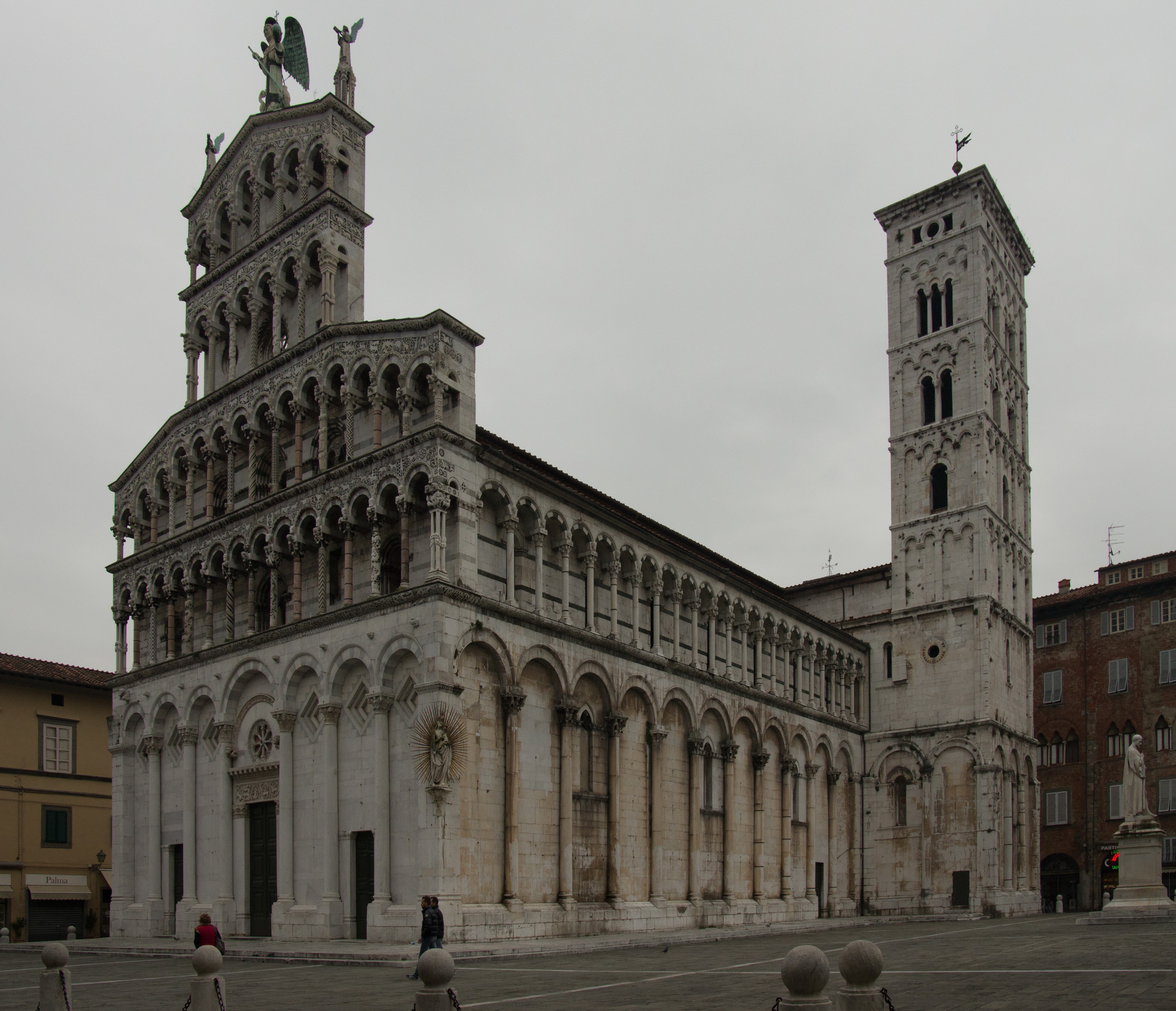
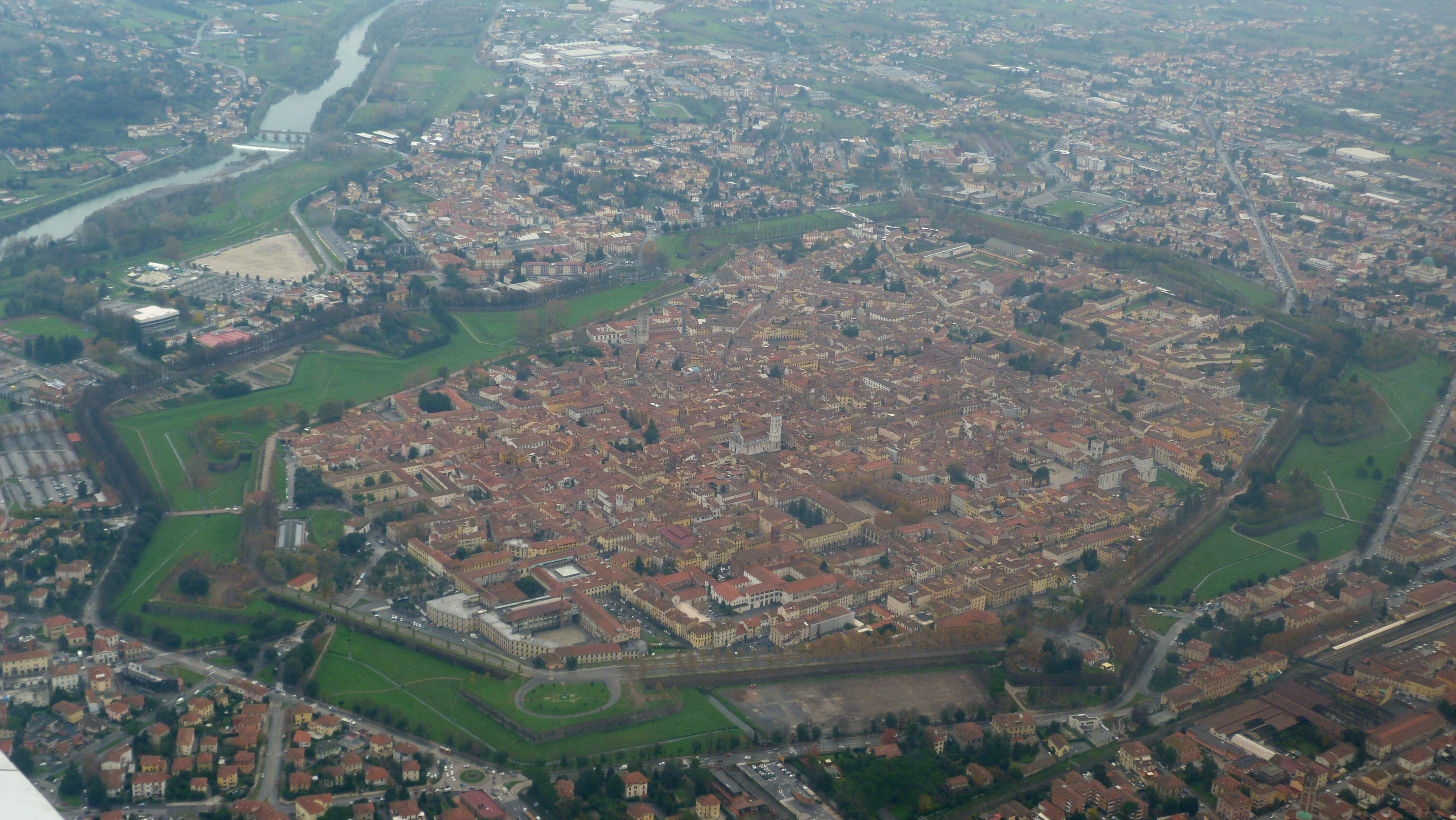
Lucca is a very scenic walled city in Italy.
The trip was done 19-22 November 2014, during a very rare gap in the weather. That gap almost didn’t work out (the forecast MSLP charts were wide of the mark for the return date) but it was OK in the end… We did however get two outstandingly scenic flights: one VFR leg to Lucca along the coast, and one IFR leg coming back over the Alps.
With the TB20's 1300nm range, Shoreham-Lucca would have been easy, but it was flown Shoreham-Bergerac-Lucca to pick up a friend at Bergerac, and then same on the way back.
This writeup is a simplified version of my normal ones in which I go into a lot more detail of each trip.
Many of the pictures in this writeup can be clicked on to produce a high resolution version. However, note that the high resolution version is the original from the camera and could be up to 13MB in size.
Pilot
FAA CPL/IR, JAA/EASA PPL/IR, ~1900hrs.
Aircraft
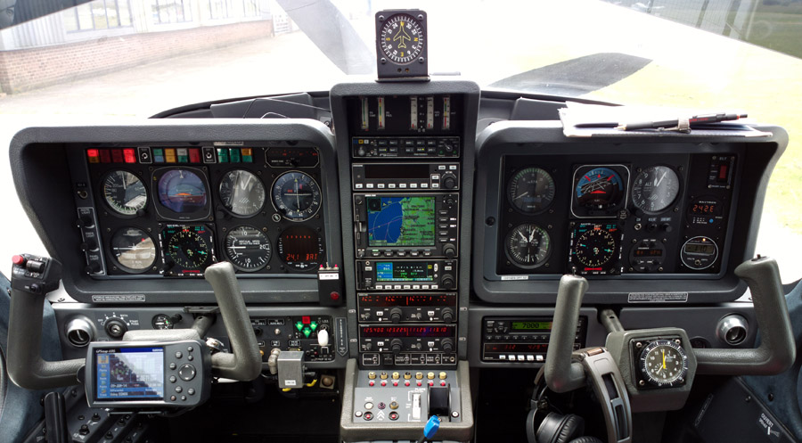
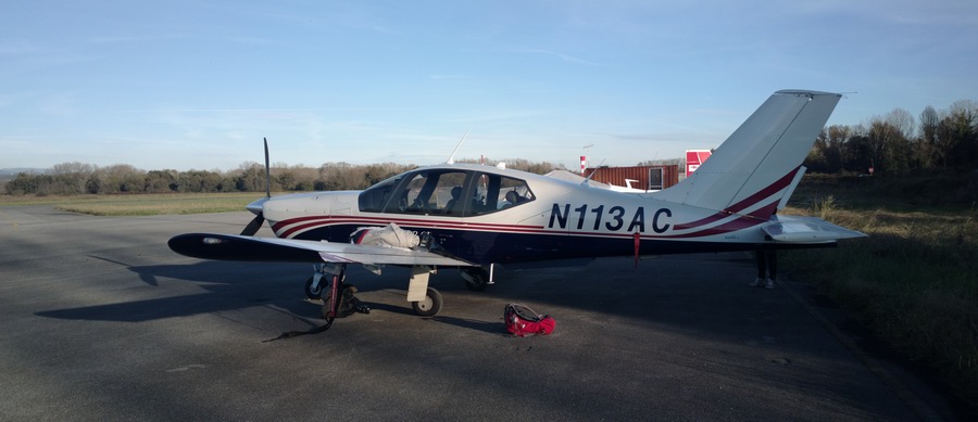
The aircraft is this 2002 TB20GT; one of the last made before production ended.
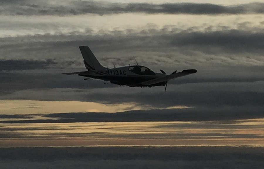
It is equipped for BRNAV (RNAV 5) and can fly ILS and GPS/LNAV approaches using the autopilot. This is sufficient for all practical European IFR flight.
Oxygen is used on all IFR flights, with the Mountain High O2D2 electronic regulators and cannulas
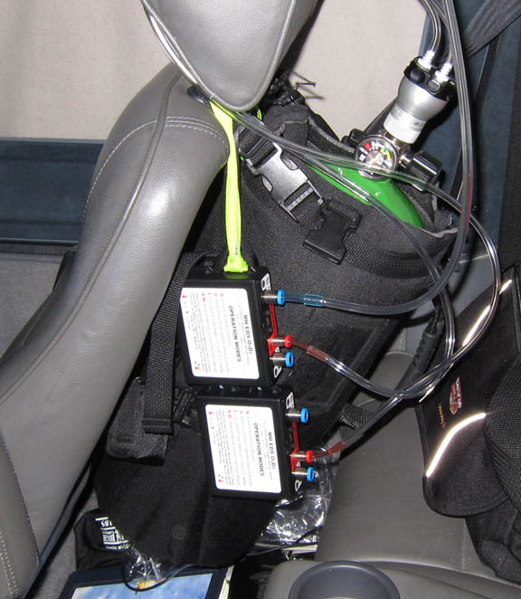
European IFR is only marginally feasible without oxygen, due to the minimum practical Eurocontrol routings. The three IFR legs on this trip were filed at "marginally oxygen" levels but I had to climb to FL140 to stay above convective weather and that definitely needs oxygen. The 4th leg was flown under VFR, up to FL075.
Airport PNR/PPR
Bergerac LFBE is 24hrs PNR (prior notice required) for Customs which is a real hassle when it comes to doing trips at a short notice, but as with most "Customs PNR" French airports the police don't appear to ever turn up, and certainly there is no comeback if you send it in speculatively but don't turn up (they seem to check the flight plans before actually going to meet somebody). The 24hr notice is required for both UK-Bergerac and Bergerac-UK.
Lucca LIQL is also 24hrs PNR for Customs but on this trip it was not an issue since the Bergerac stop (there and back) made the flight intra-Schengen.
The alternate for Lucca, Pisa LIRP, required some sort of prior notice too and when I emailed them they sent me this form to fill in. Whether an alternate needs a prior notice is debatable anyway.
Outbound Flights Shoreham - Bergerac - Lucca
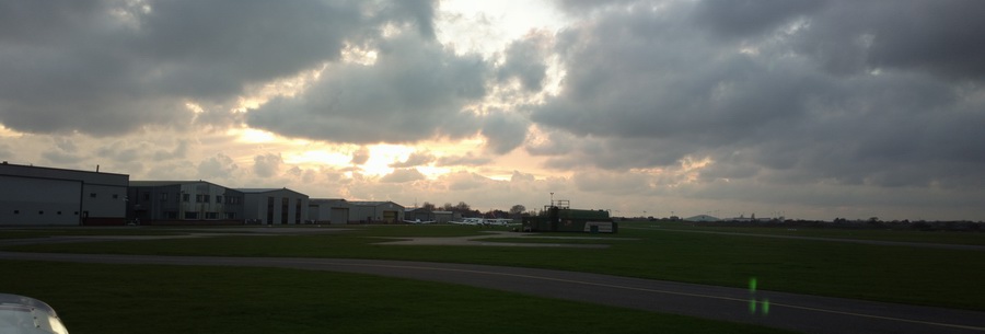
I departed for Bergerac the night before the flight to Lucca, to maximise the time we would have at Lucca. Shoreham doesn’t open till 0800Z…
The departure was timed to get good sunset pictures, while not being over the Channel during total darkness - just a bit of risk management which I like to do if there is no other issue.
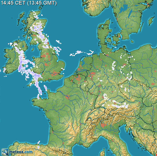
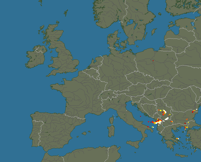
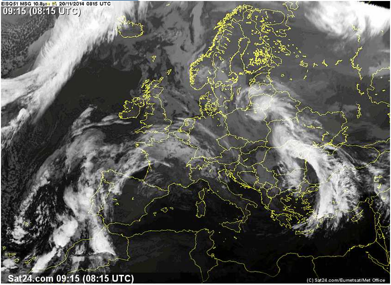
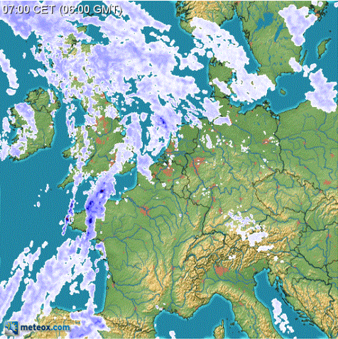
The departure weather was good: TAFs/METARs IR Image Radar Sferics
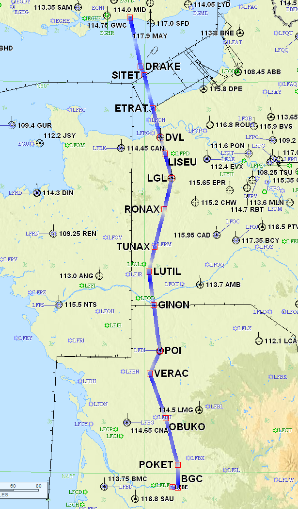
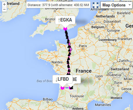
Normally I develop IFR routes using the EuroGA autorouter and do them to lie decisively in controlled airspace (CAS) because that assures proper IFR ATC service, which is very important in the UK where London Control will throw the flight plan out if it doesn't enter CAS pretty soon. Unfortunately on this occassion I forgot to do this correctly and used the route developed with the router's default setting which starts at FL040. In this case it produced a climb to FL070 which while ending up technically in CAS at the TB20's climb rate, it did end up outside CAS if climbed linearly EGKA-DRAKE:
EGKA DRAKE/N0149F070 DCT SITET/N0152F100 A34 LGL J55 POI B19 VERAC DCT OBUKO DCT POKET DCT BGC LFBE
So London Control threw it out! So the Shoreham departure clearance (which
was the time I found out about this) was London Info 124.6 which is practically
useless (you may as well just take off in the UK with a listening watch on 124.6
and call up Brest Info when you can ![]() )
but it was moot because soon afterwards one is in France anyway and their ATC
is all joined-up. However, London Info did later transfer me to London Control,
minutes before leaving UK airspace.
)
but it was moot because soon afterwards one is in France anyway and their ATC
is all joined-up. However, London Info did later transfer me to London Control,
minutes before leaving UK airspace.
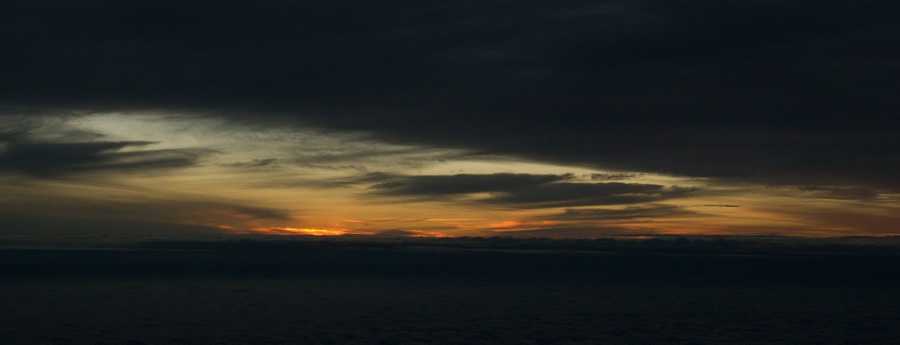
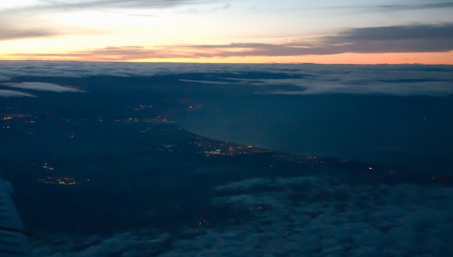
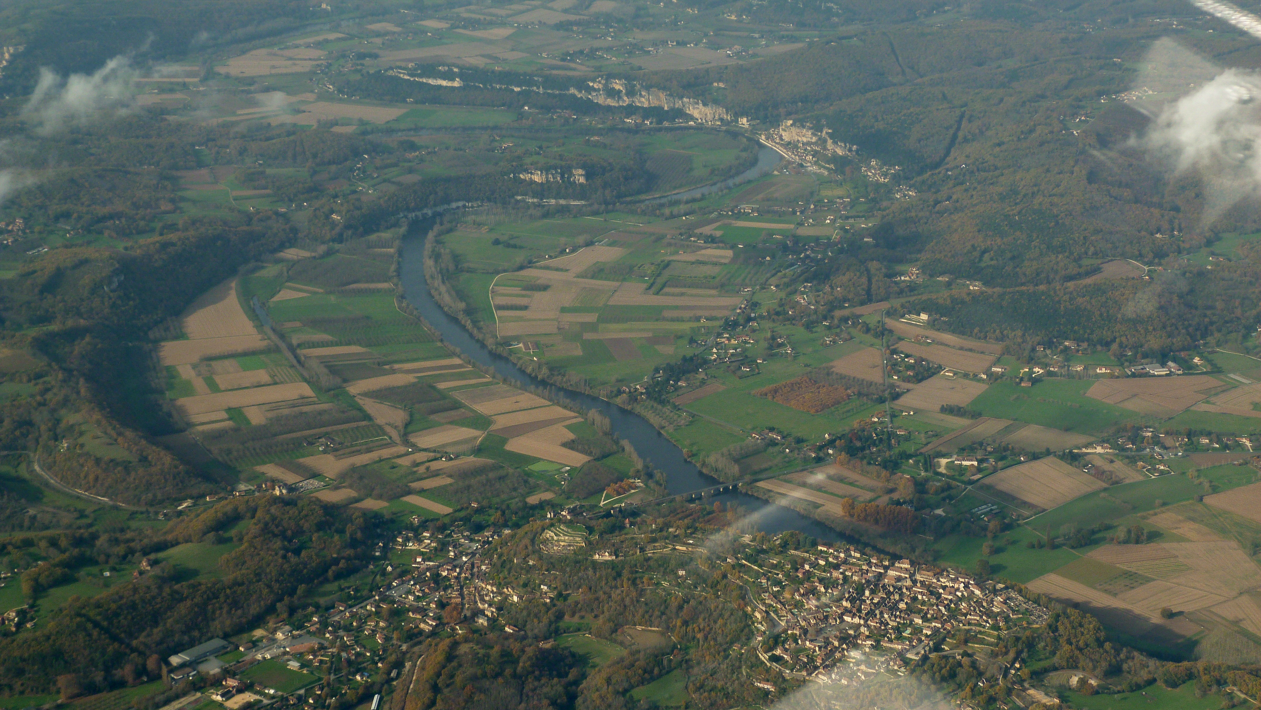
Looking at my southbound track (in yellow)
this city is probably Caen
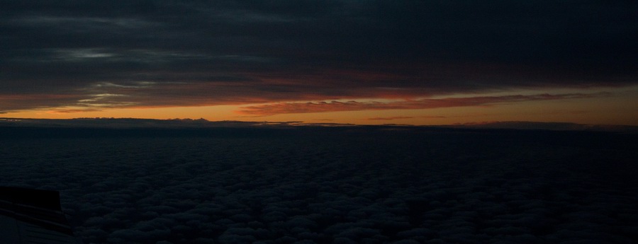
Here are the lights of another city later on, producing an eerie glow through the clouds
It’s difficult to photograph the cockpit at night but here we see the lights on the ground also
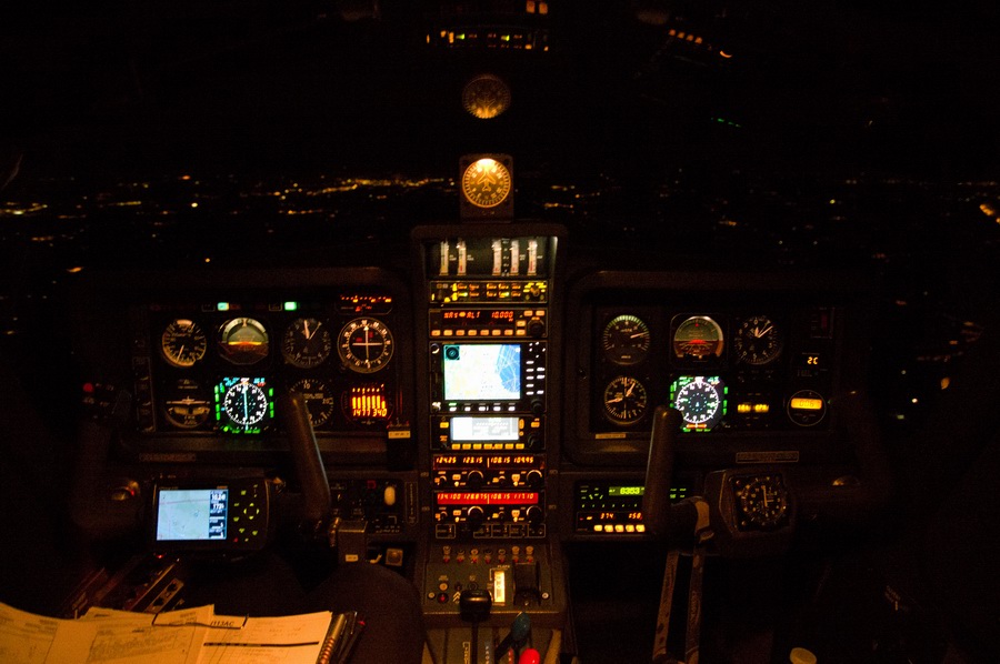
This is a large city but one surprising thing about flying at night is that the ground is covered with little lights (mostly without any patterns) even when the 1:500k chart shows absolutely nothing down there; not even a little village

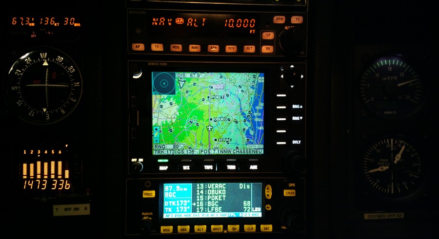
Now approaching Bergerac, still at FL100. Temperature was -3C and with a GS of 135kt there was about 10kt of headwind.
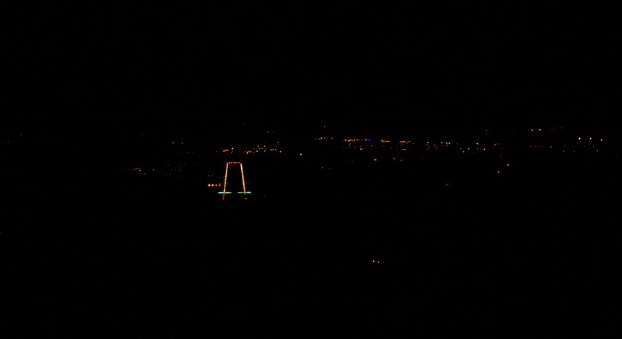
ILS 28 at Bergerac
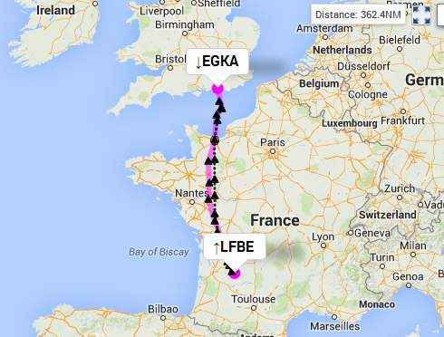
This is the route (black is the actual one flown)
On the ground at Bergerac, in darkness, and a couple of hours before the airport closed, there was no sign of life. Not even a rat. All doors were locked. This is not unusual for the "provincial" French airports which tend to close up after the last Ryanair (or similar) flight has departed. I walked around for a bit trying to get out and eventually got help from a man in the fire department. Had this failed I would have called up ATC. Normally one should refuel immediately after landing but obviously this would be impossible in this case.
The next morning's flight to Lucca was to be done as a VFR flight, for the benefit of my friend who has a PPL and no instrument rating.
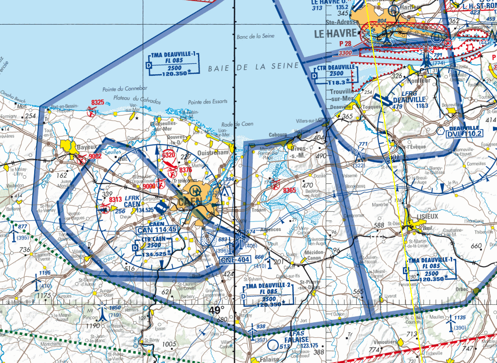
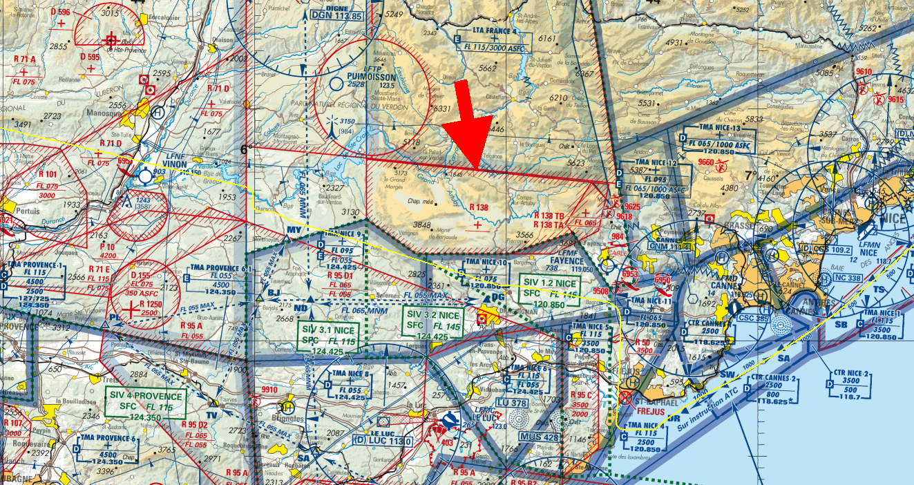
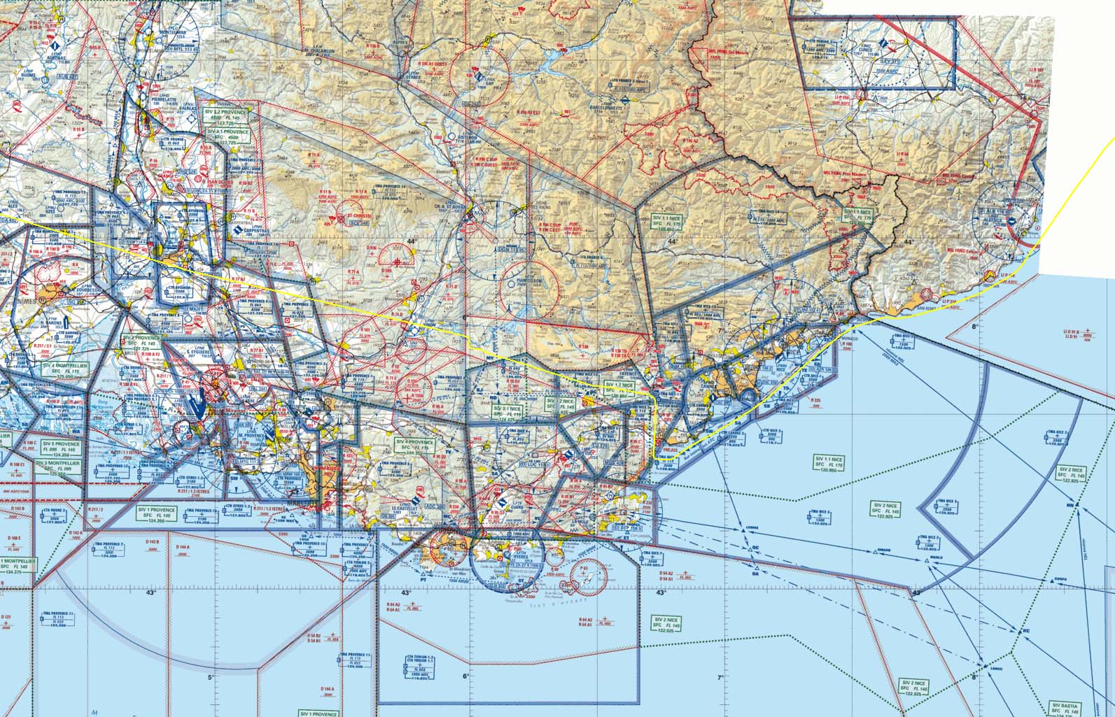
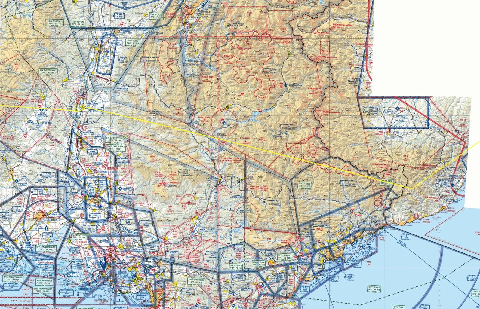
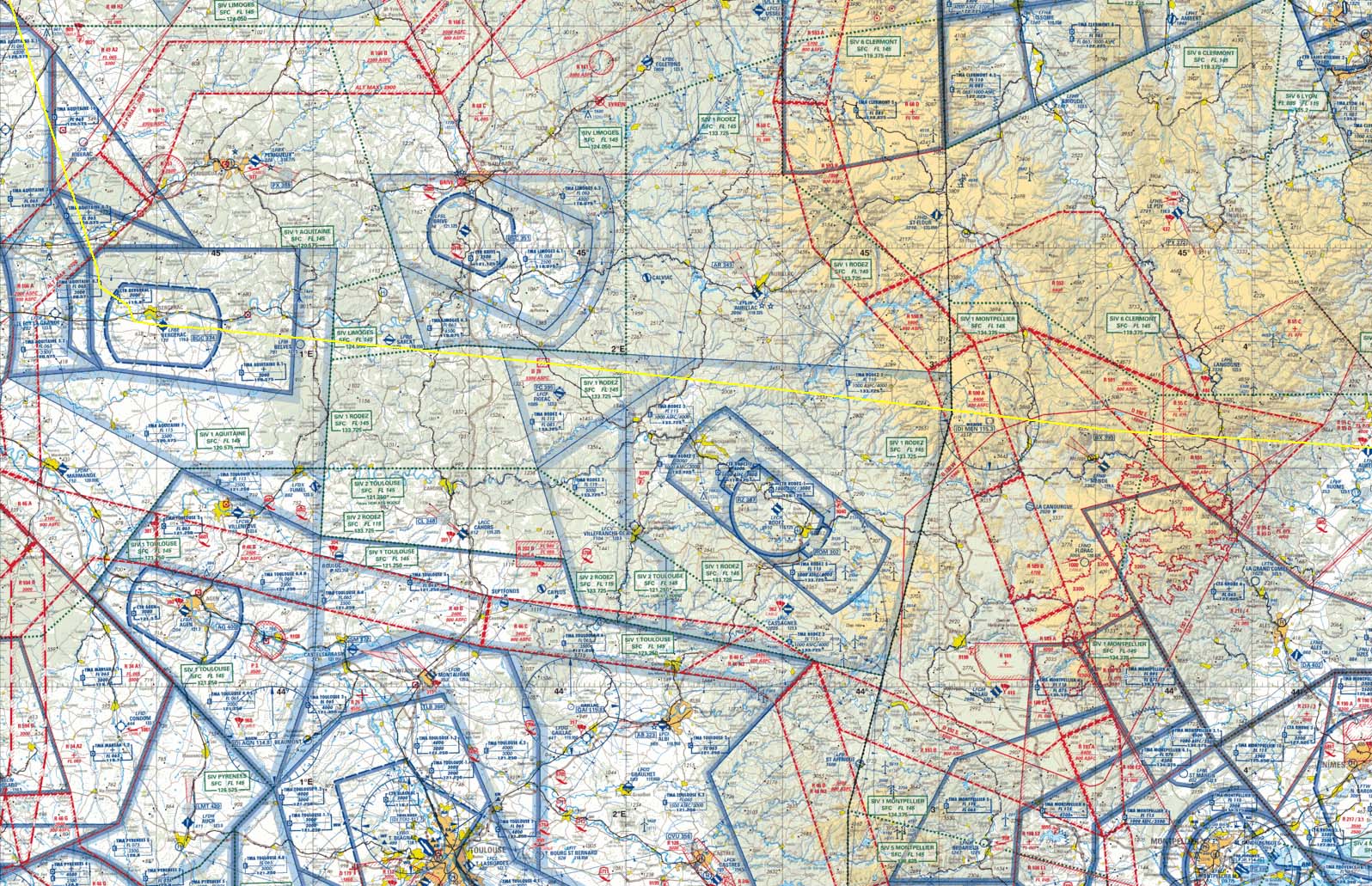
The first part of the VFR route was in France, and was planned generally Bergerac-Cannes as a straight line and then along the coast from Cannes to Lucca. The French airspace along parts of this route is horribly complicated when viewed on a simple VFR chart if one is to work out a route outside CAS. Try sorting out this mess (blue line is the planned route):
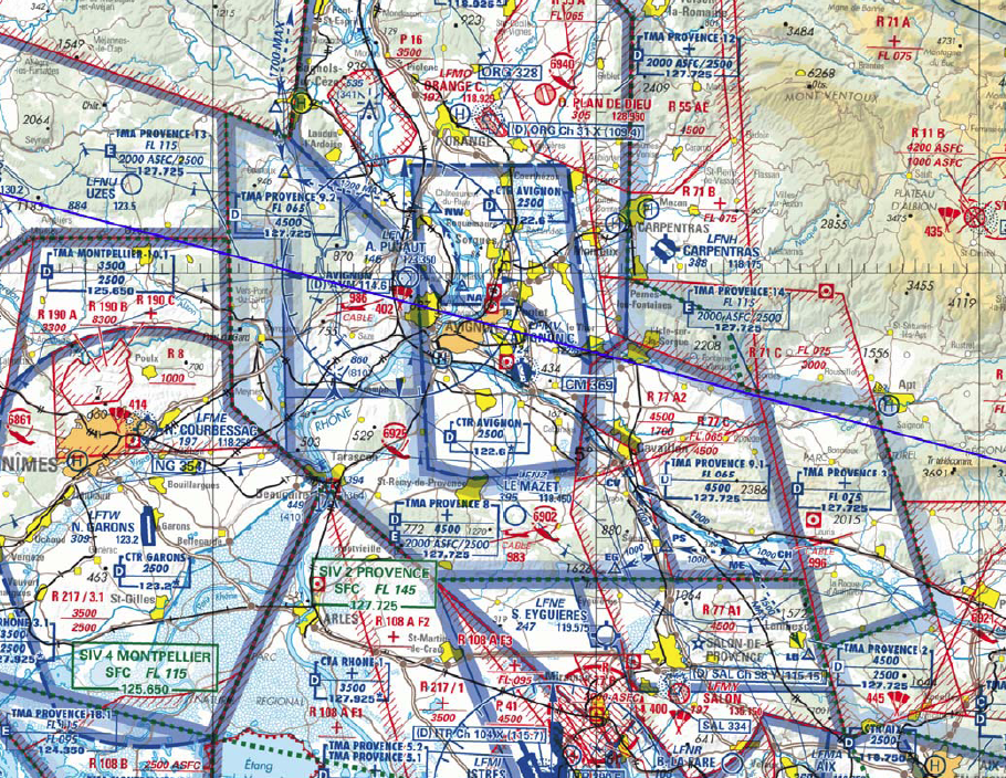
Obviously anything is possible if you throw enough time at it, and I did this at the hotel the night before. But I had limited options for producing cockpit-usable material and an attempt to get the hotel reception to print some PDFs met with a "I have better things to do" refusal.
However, the strategy which usually works in France (and not many other places) is to plot a straight line and try to get clearances as you go along. This tends to work for normal CAS but not for military airspace (especially not on a weekday which this was). It worked for me in the past to varying degrees but it was worth a try again.
For France, you have the choice of the SIA, IGN or Cartabossy VFR charts. Plus Jeppesen were producing their 1:500k charts too, until 2013. There is also a current ICAO online chart here which is probably based on the IGN charts and which (like the Jepp charts) exists "out in the wild" in a digital format so one can run it as a GPS moving map. I can run the above VFR charts as a GPS moving map on my Lenovo T2 tablet, under a generic moving map program - Oziexplorer. For the planned route, I had both the Jepp charts 1 2 3 4 and the ICAO charts running on the tablet.
For Italy, following Jepp's discontinuation of the 1:500k charts, there are no cockpit-usable VFR charts. Italy does publish current ones in their AIP Part 1 Part 2 but these are unusable for flying with, for several reasons starting with the airspace vertical extents being published in the corner of the chart.
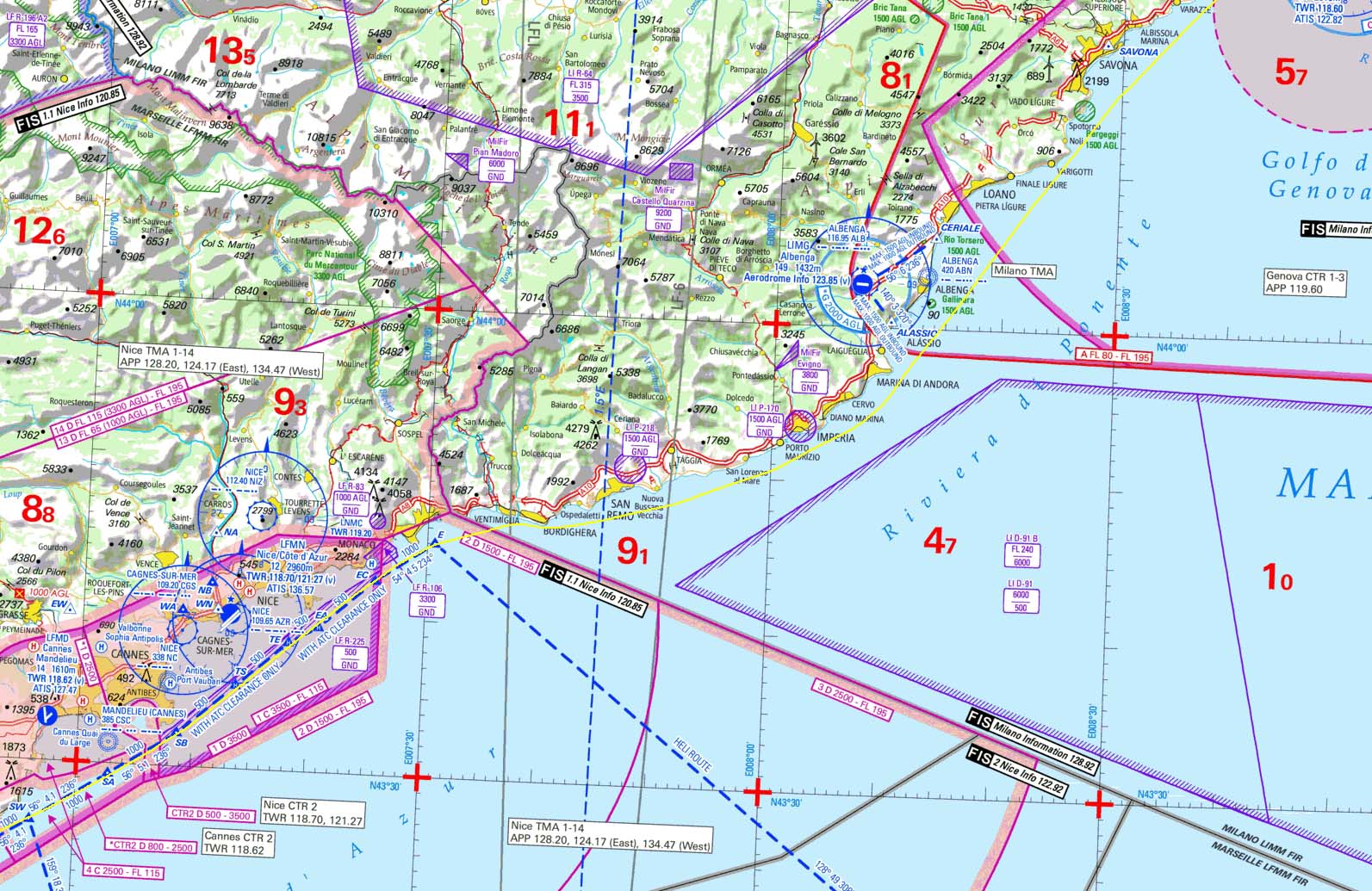
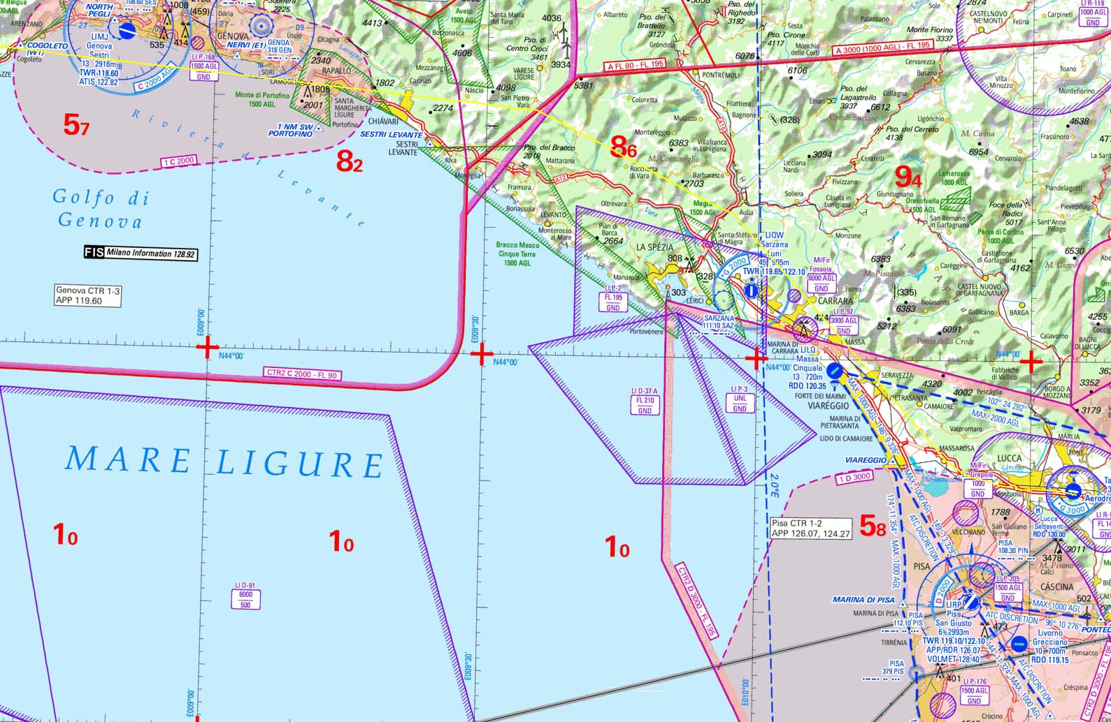
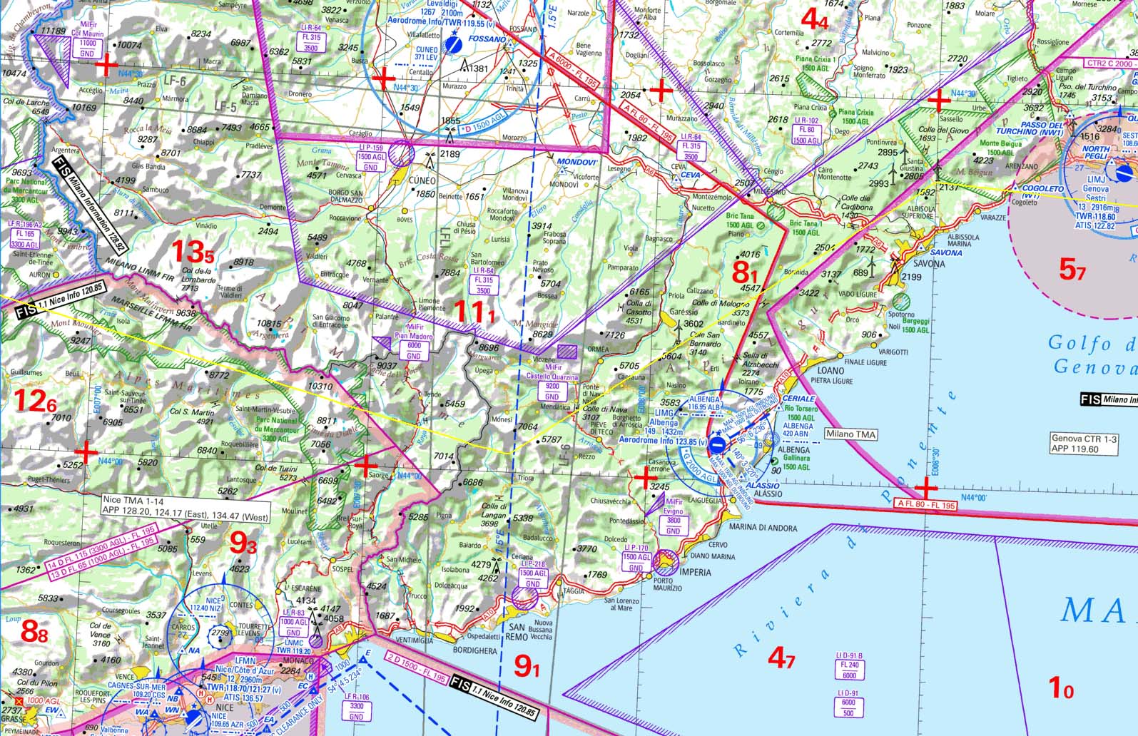
The best currently available VFR charts for Italy are the old 2013 Jeppesen VFR charts which are no longer updated. So I extracted 3 pages of enroute strip charts from the above AIP PDFs (which needed cracking the AIP PDFs to remove the stupid security on them), did the same from the Jeppesen charts and compared them along the proposed route which ran mostly along the coast. There were no lateral airspace changes but there were some vertical changes. It appeared that the whole Italian route could be flown OCAS at or below 2500ft so this was the plan. There are however some prohibited (P) areas along the coast and they would require to be bypassed with a long detour out over the sea.
There are also tablet map products e.g. JeppFD-VFR, PocketFMS, Skydemon… and these would have made this sort of exercise much easier, but I am not currently using any of them because it is yet more money to pay out on something I would not use often because my long trips are all IFR.
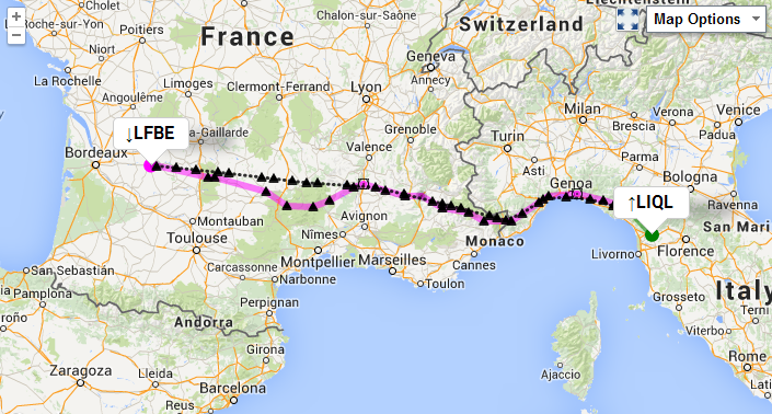
So I filed it as LFBE DCT LFCR DCT LFMV DCT LFMD DCT LIMG DCT LIQL at FL065...
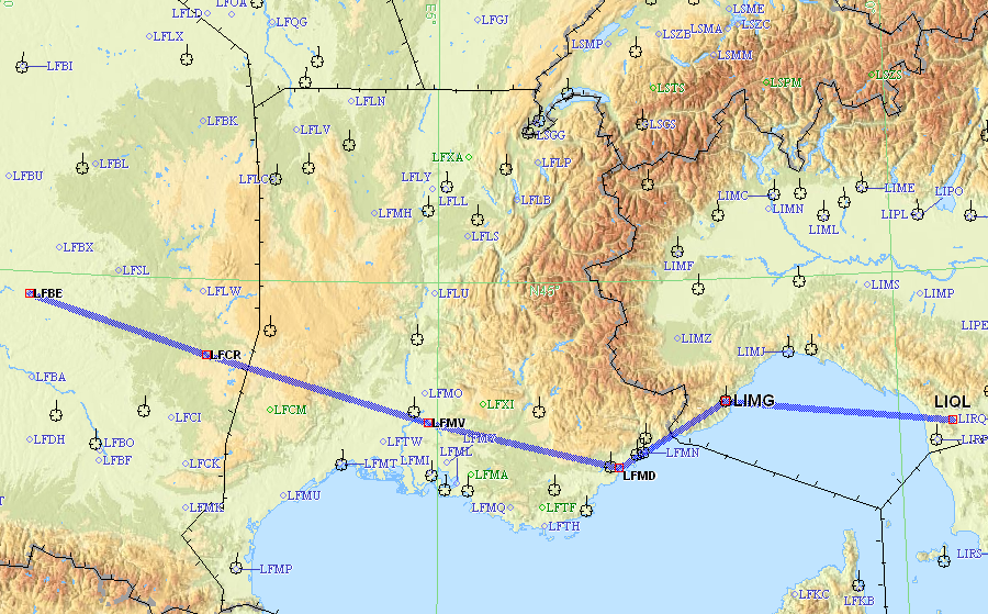
The planned route was Bergerac – Rodez – Cannes and then following the coast of France and Italy all the way to Lucca, which is just inland of Pisa
However, in the filed flight plan there was no attempt to show the planned
routing along the coast. This is quite normal since that would need creating
a load of user waypoints. The only drawback of doing this is that if you went
missing near Italy, and there was no radio/radar etc contact, they might go
looking for you in the open sea halfway between LIMG and LIQL ![]()
That flight plan is also wrong in other respects: one is not allowed to use airport identifiers as waypoints (the usual hack for this is to use a navaid at the said airport as the waypoint) and FL065 it busts a lot of no-go airspace along the way. But that's how VFR works... 99% of the time nobody cares what you file, and if you put in a dogleg to Kathmandu it is unlikely anybody would spot it!
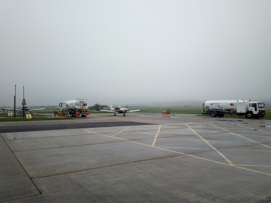
Here we are getting ready the following morning at Bergerac. The weather was good: TAFs/METARs IR
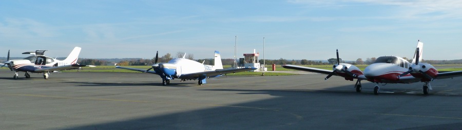
First I taxied to the pumps, which open at 0600Z. They are self-service if you have the French TOTAL card (which used to need a French bank account but nowadays there is a way around that, if your bank can do SEPA - still complicated but possible) but there is a man around (not always around) who can do it for you and then you can use a normal credit card.
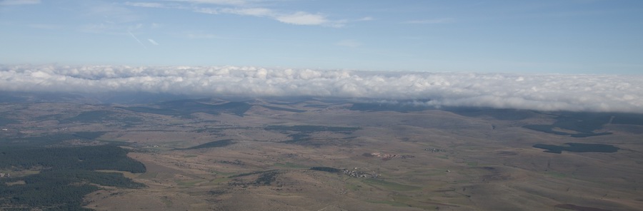
The initial level was 2500ft, gradually climbing to FL065 to remain above the cloud.
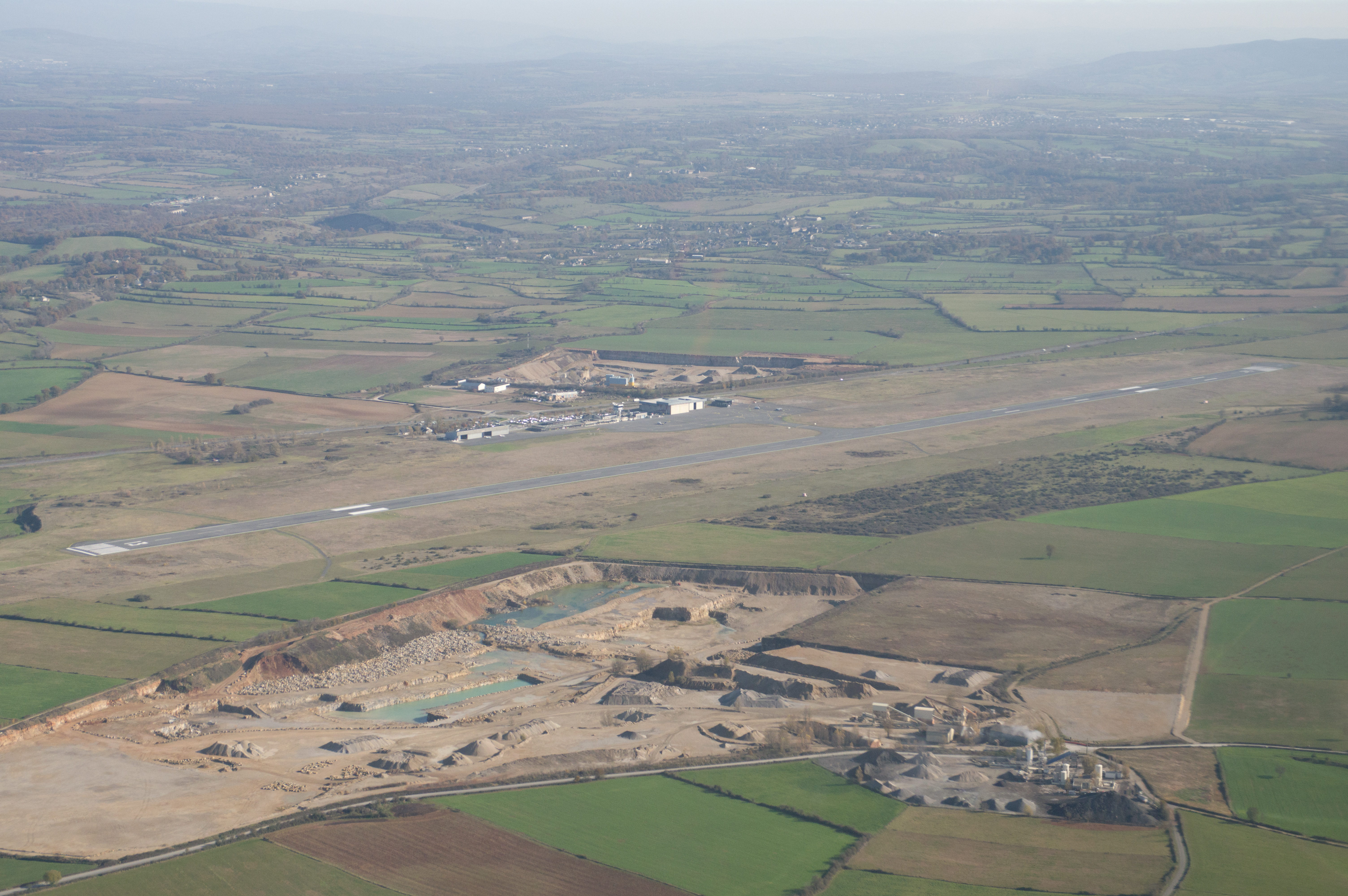
This is Rodez – a big airport in the middle of seemingly nowhere. There was a brief radio contact...
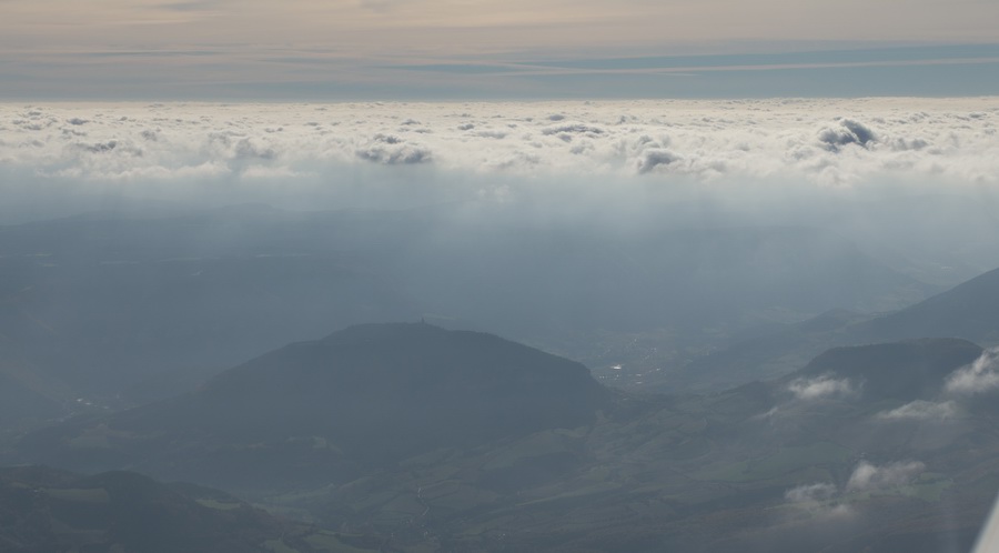
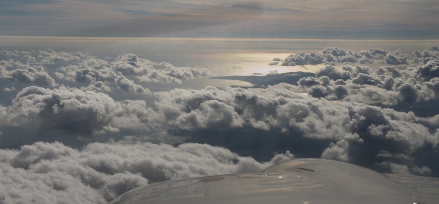
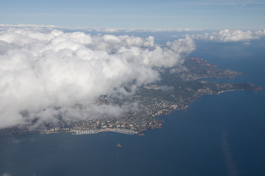
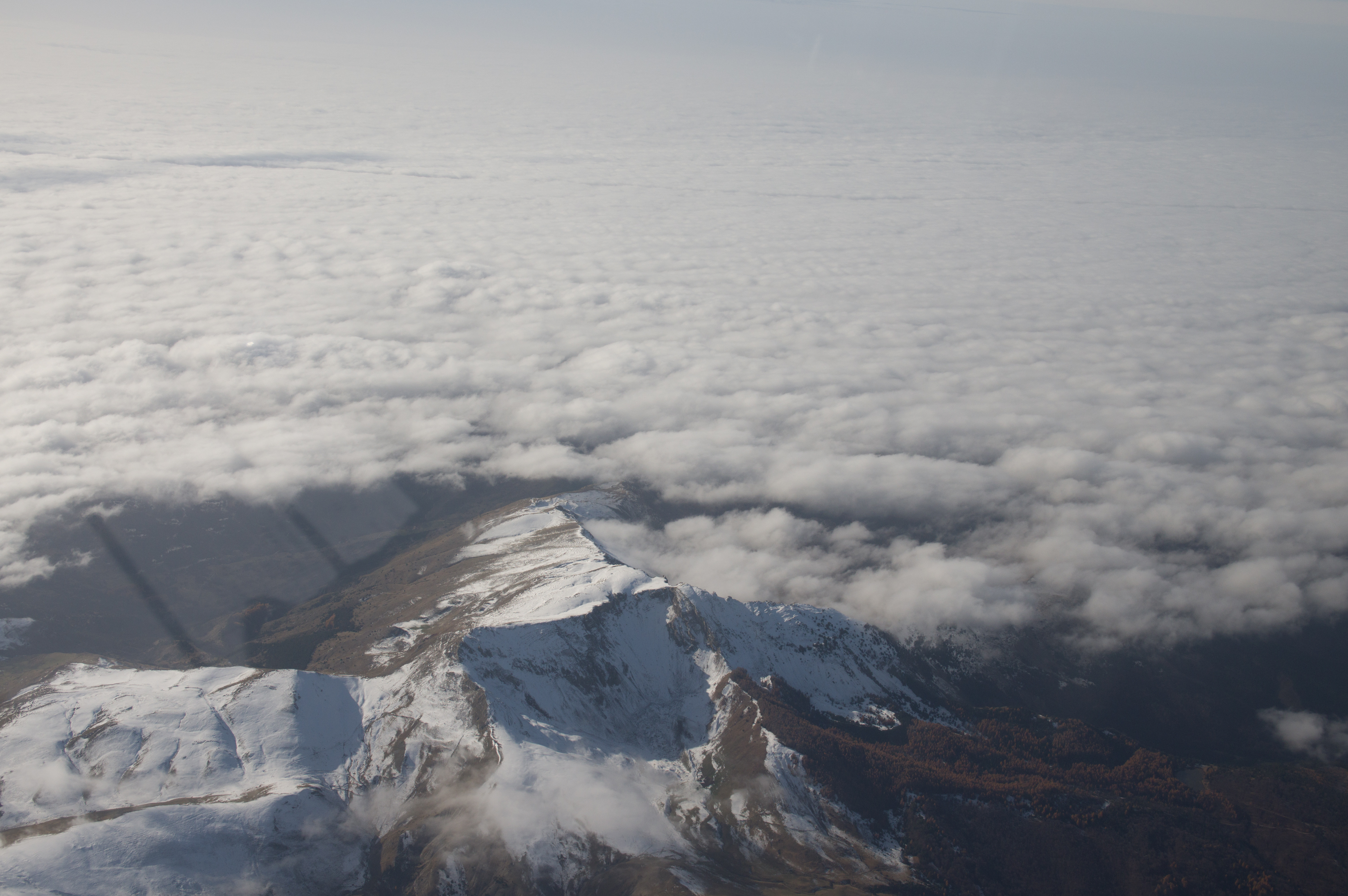
Then some cloud started to appear so we had to climb above it
Maybe one could have done a "classic scud run" underneath but that
is not normally a good idea ![]()
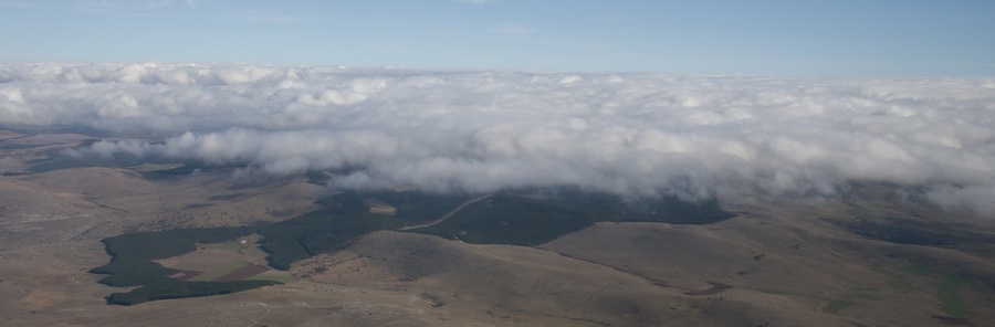
The cloud eventually became solid. VFR above a solid layer is 100% legal on an EASA PPL, but obviously you need to use radio navigation (GPS, in practice)
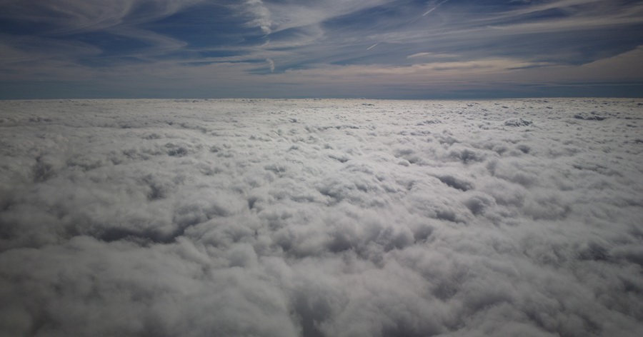
These short and rather poor quality videos illustrate the VFR flight at FL075
Video 1 (10MB mp4)
Video 2 (12MB mp4)
The radio contact was with Rhodes, then Montpelier, then Marseilles, then Nice. We got a new squawk each time - this is not uncommon in VFR flight.
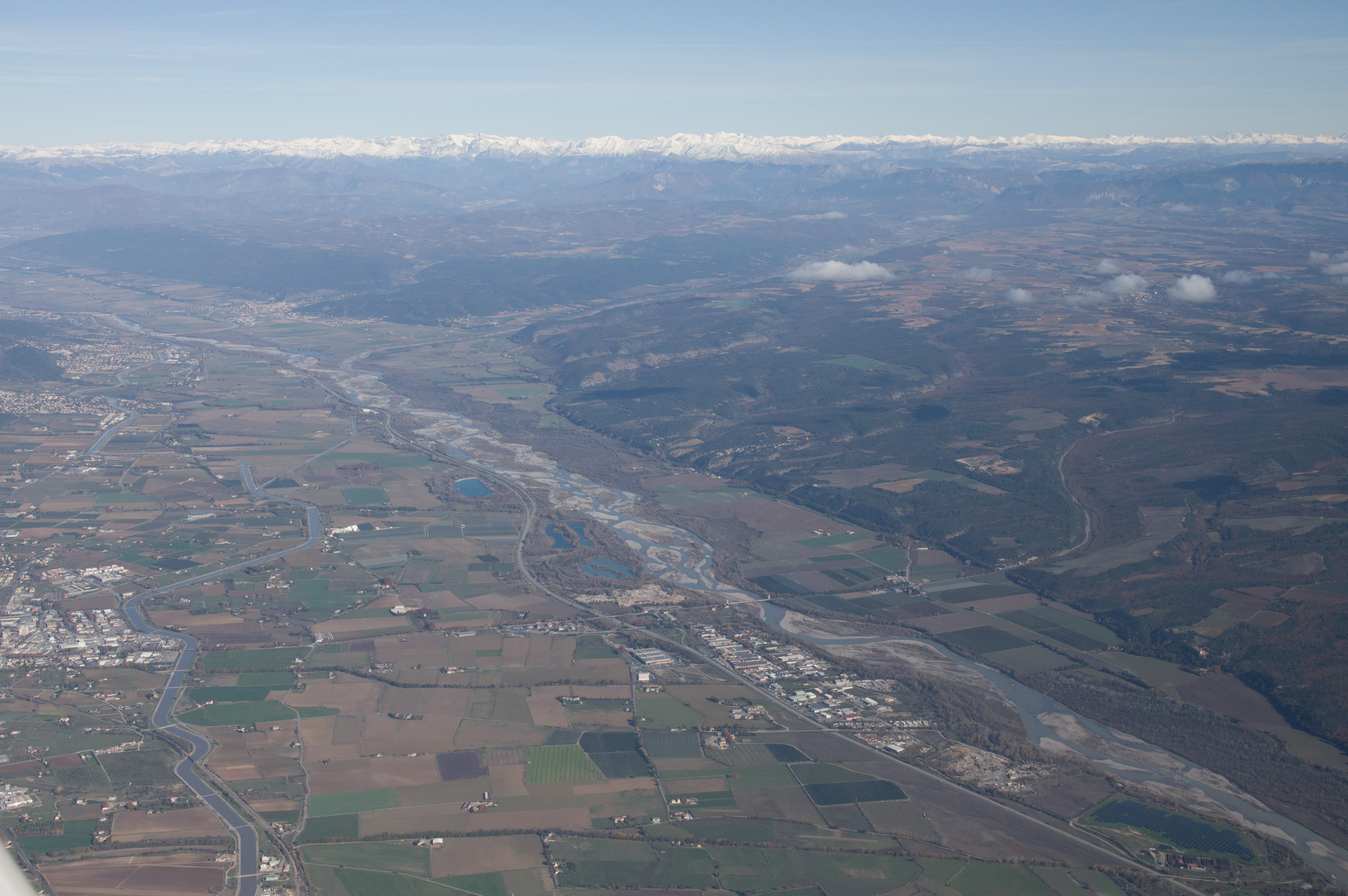
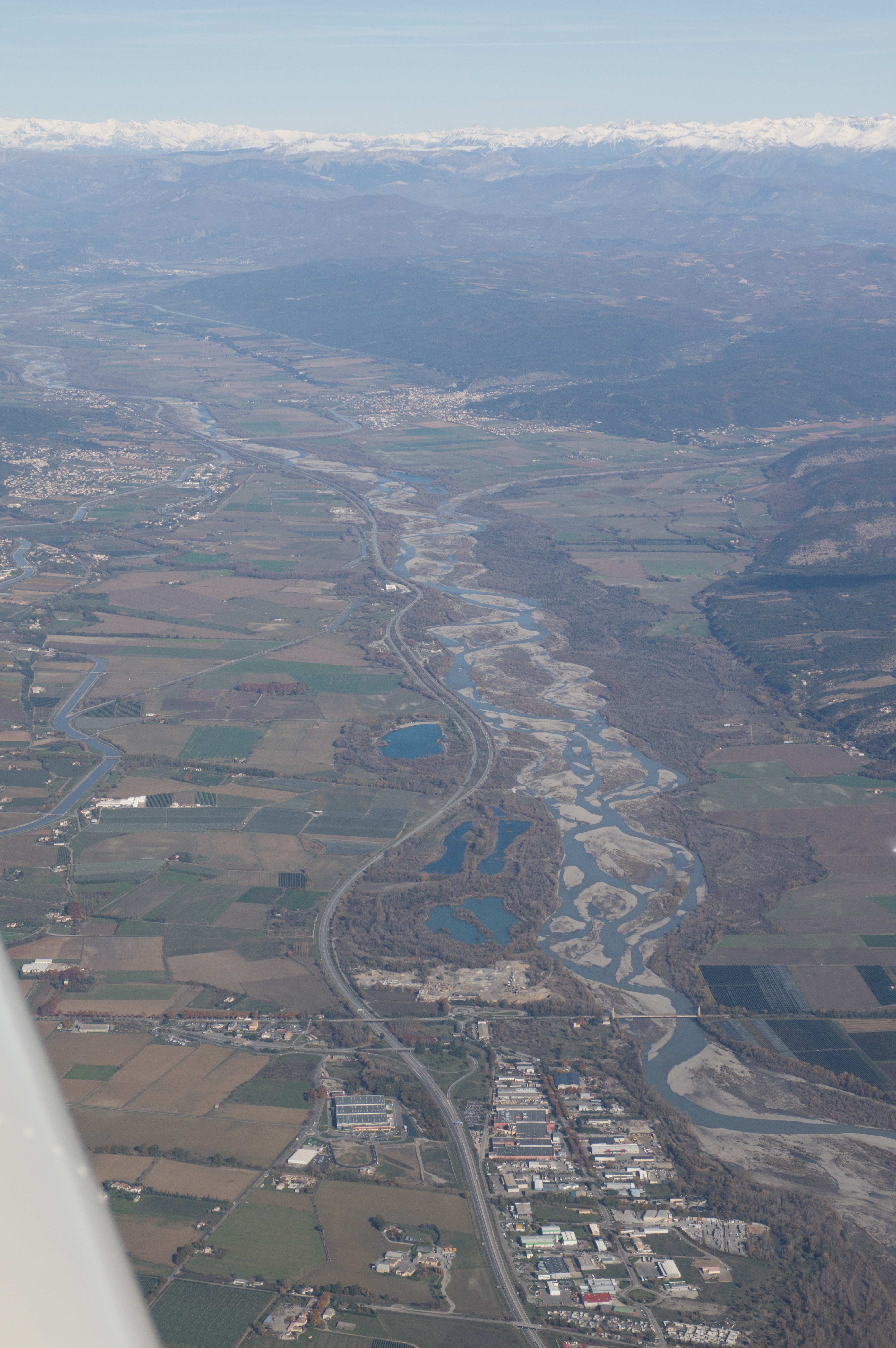
ATC were completely relaxed with the routing and just cleared us straight through. There was no other traffic that I recall. The only thing on that inland section of the route which ATC asked us to avoid was R138, which we passed (yellow line is our actual GPS track) to the south of
Nice is well known for pushing coastal VFR traffic below 1000ft (over the sea) but this time we were asked to descend to 500ft, on a heading of 180 which is visible in the track plot above, which needed a rapid descent of -1000fpm

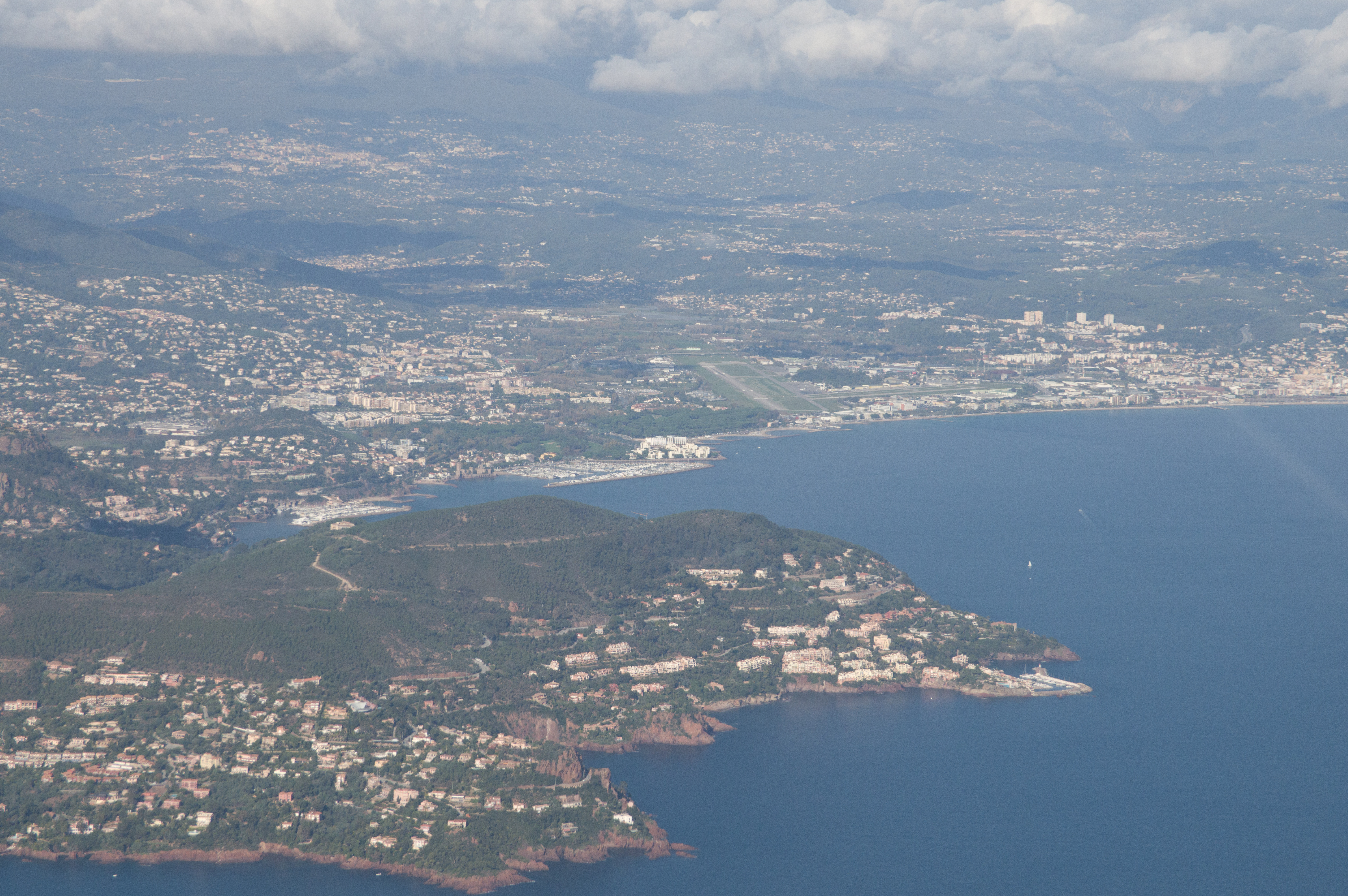
Eventually they realised we would not get down fast enough (much more than -1000fpm can create problems with some peoples' ears) so handed us to Nice Approach, who were ultimately the cause of this 500ft requirement, but they still wanted the 500ft. Fortunately there was a helicopter around at 500ft which we could not see (it showed up on my TCAS a few miles away but one is not really supposed to tell ATC that) and it must have been carrying somebody famous, so they asked up to climb back up to 1000ft, where we stayed for most of the coastal flight. This is Cannes airport
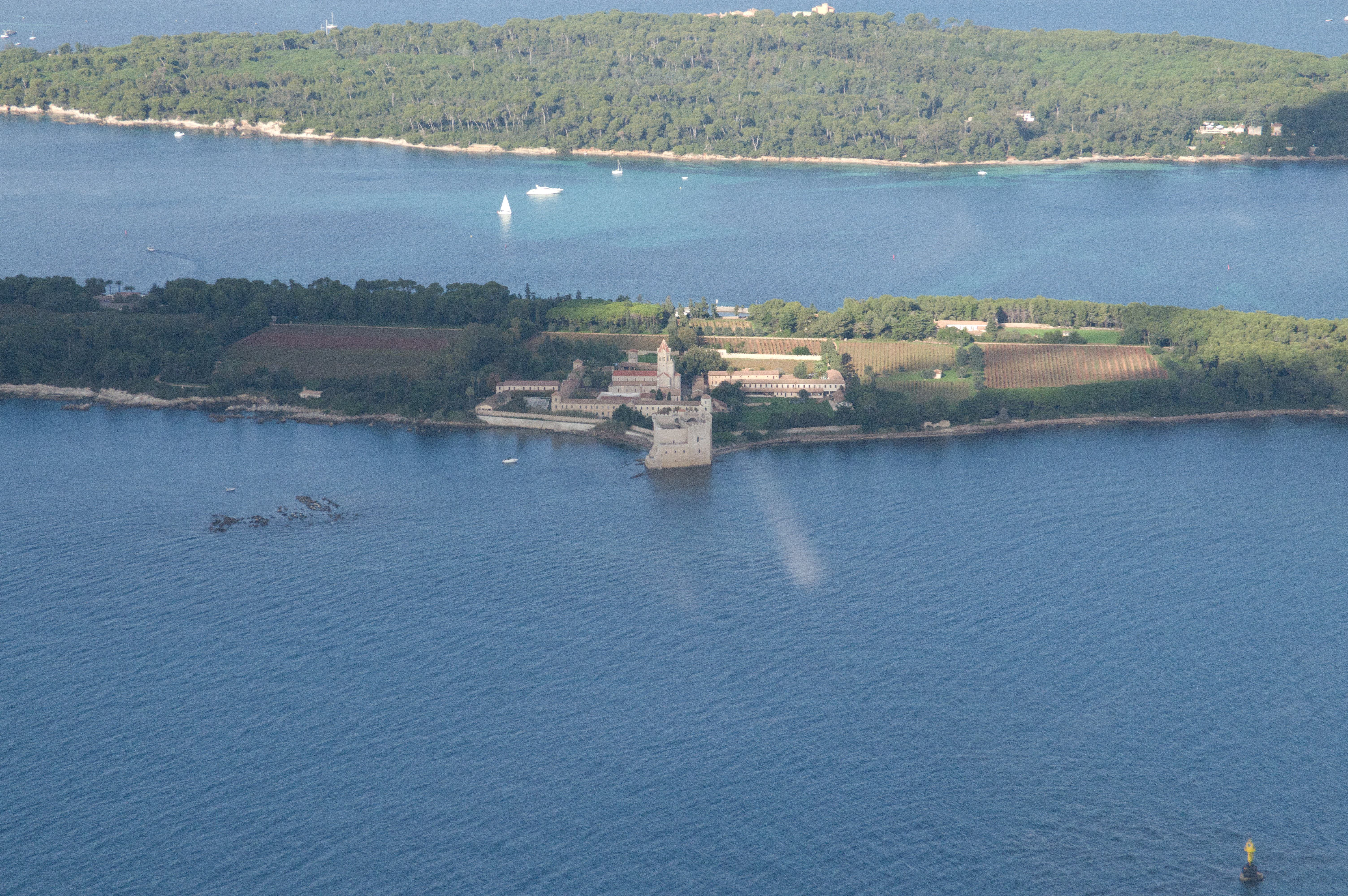
These two islands are situated in the bay of Cannes (Golfe de la Napoule) and
sometimes used as VFR reporting points. The bigger one in the background is
Ile St. Maguerite and the one in the foreground is Ile St. Honorat with a monastery
“Abbaye de Lérins” – well known for their restaurant and
wines. Unfortunately it has no runway ![]()
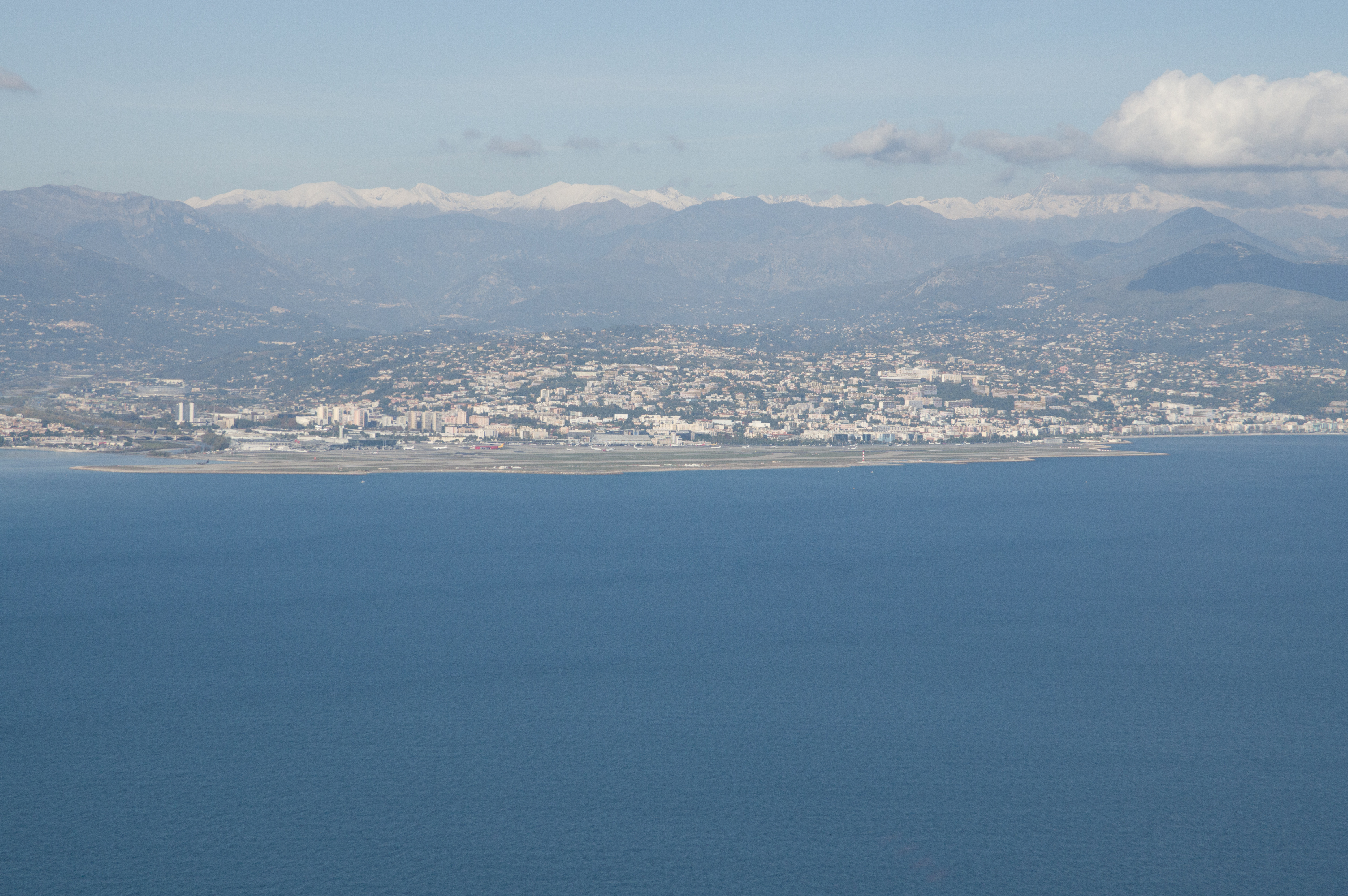
Nice airport
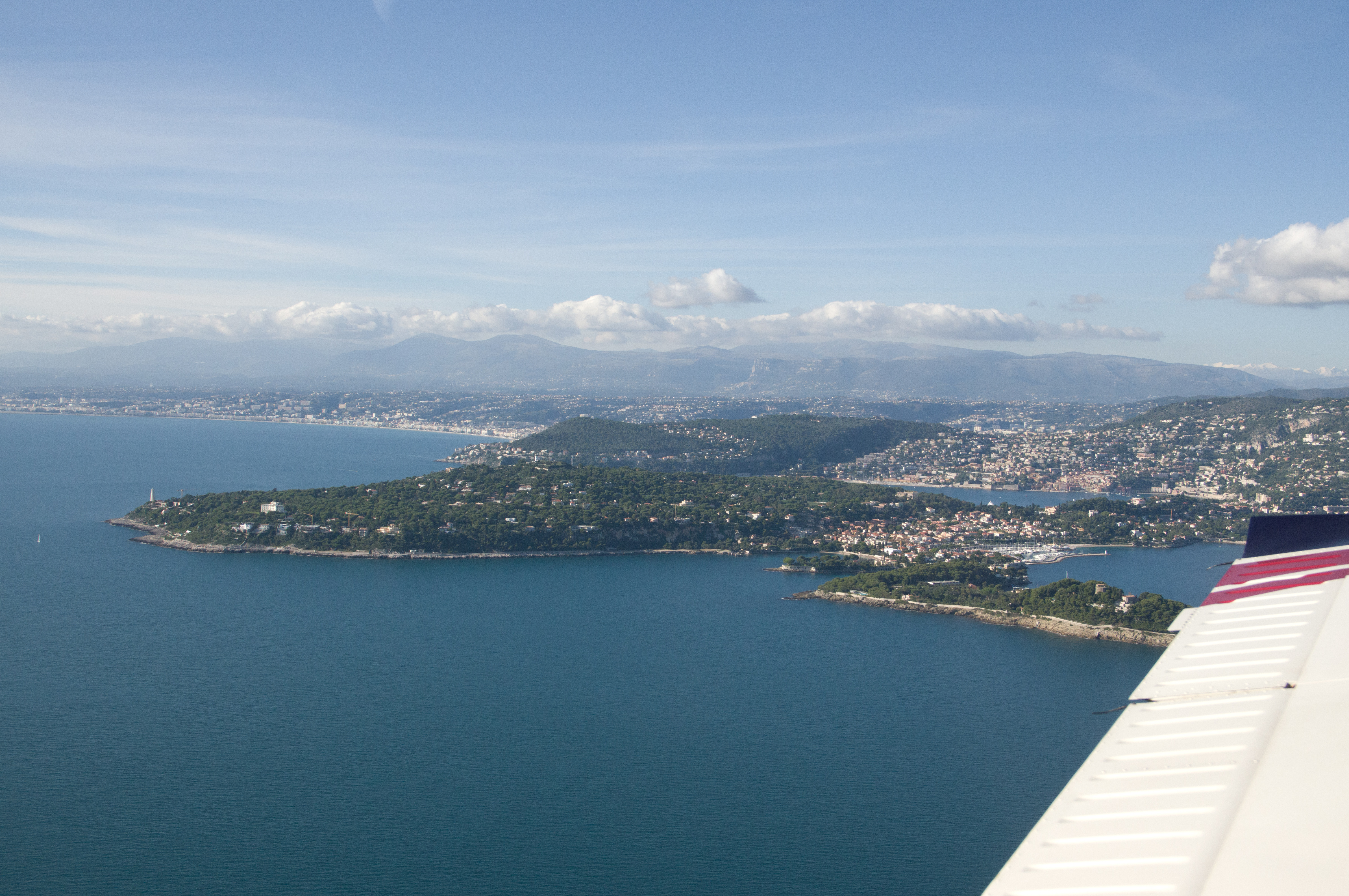
This is the peninsula of Cap Ferrat between Nice and Monaco with some wonderful villas and five star hotels on it. You pass west of it when doing an approach to Nice RWY22
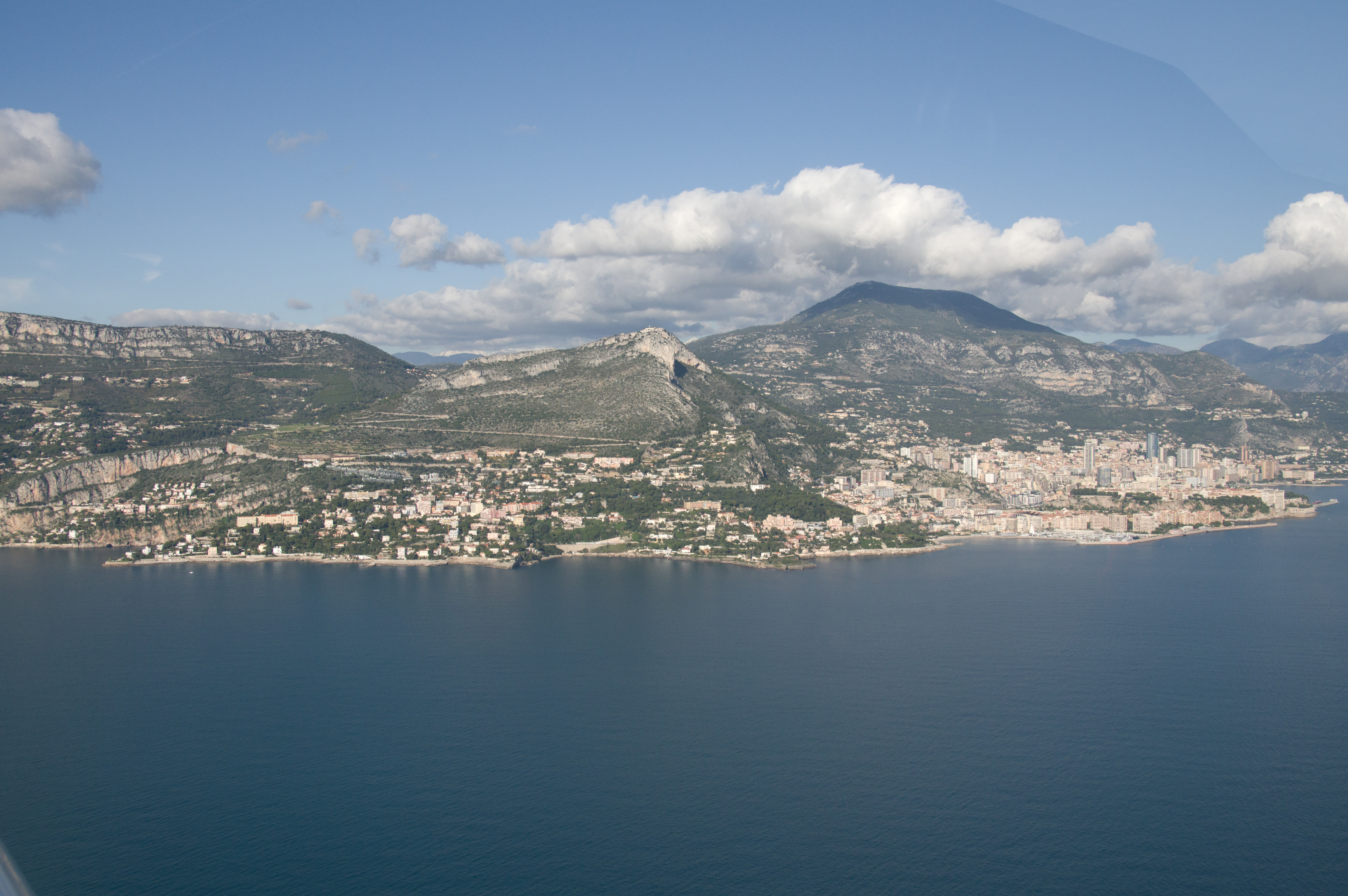
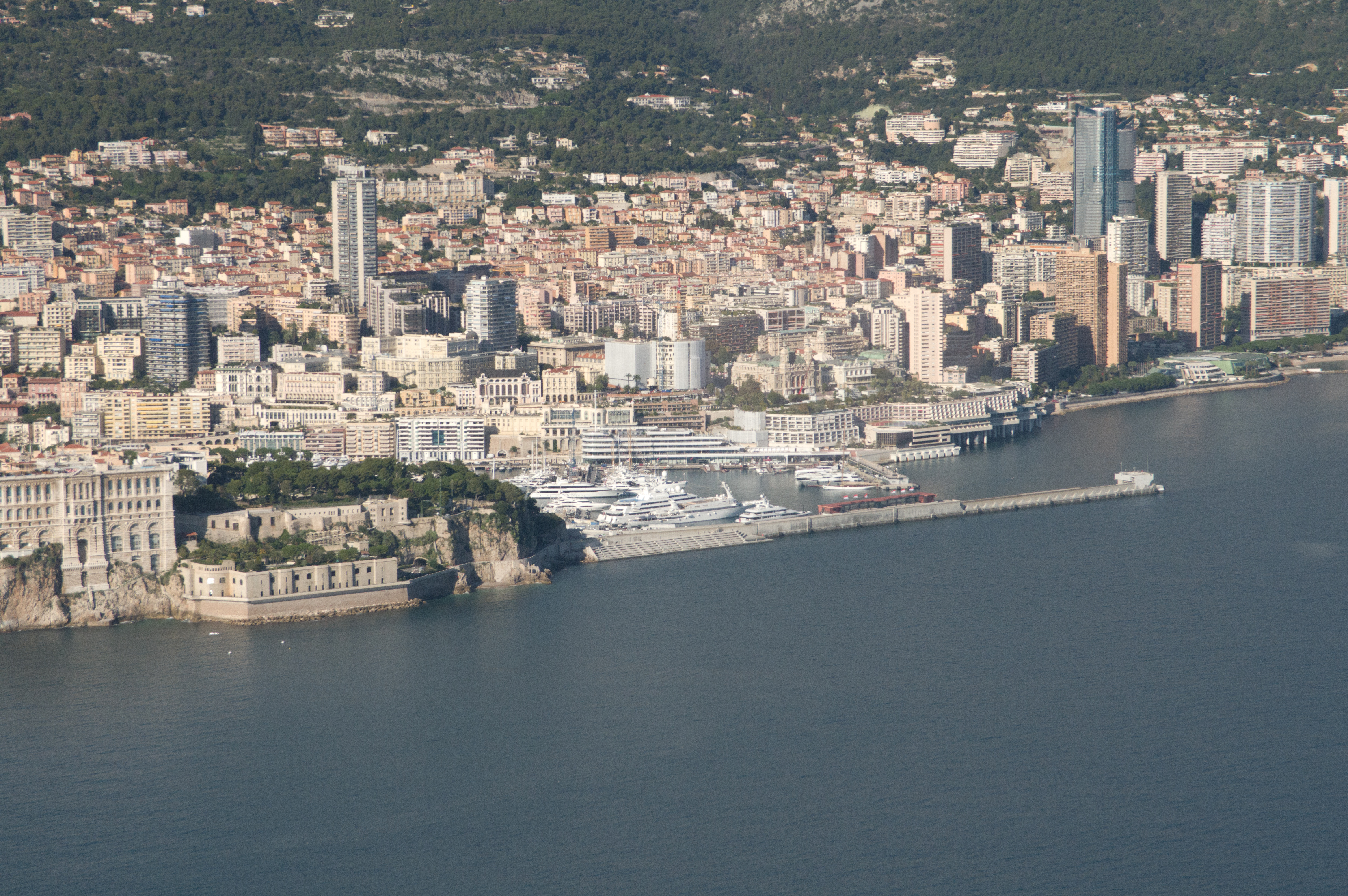
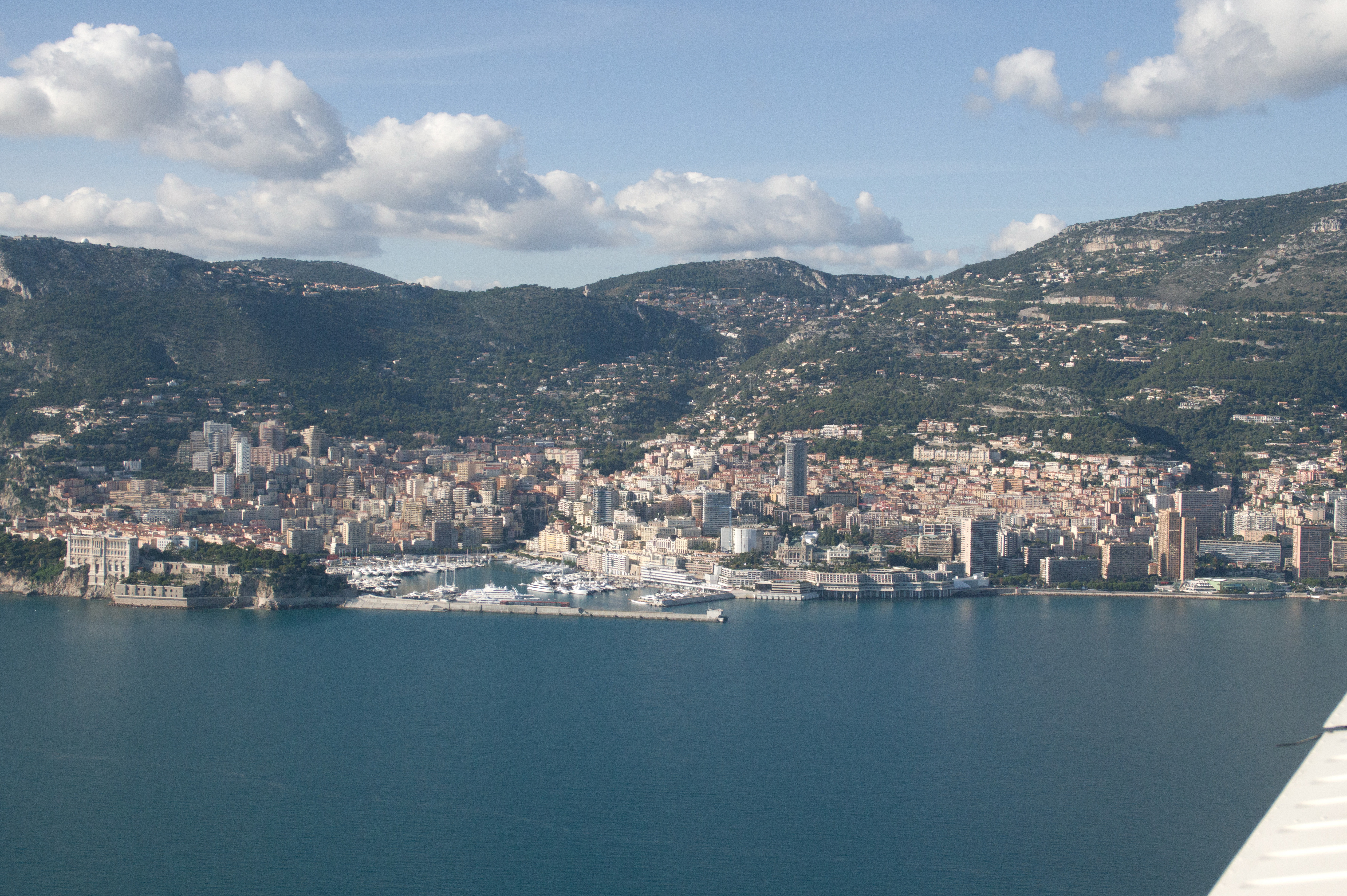
Monaco with the Palace
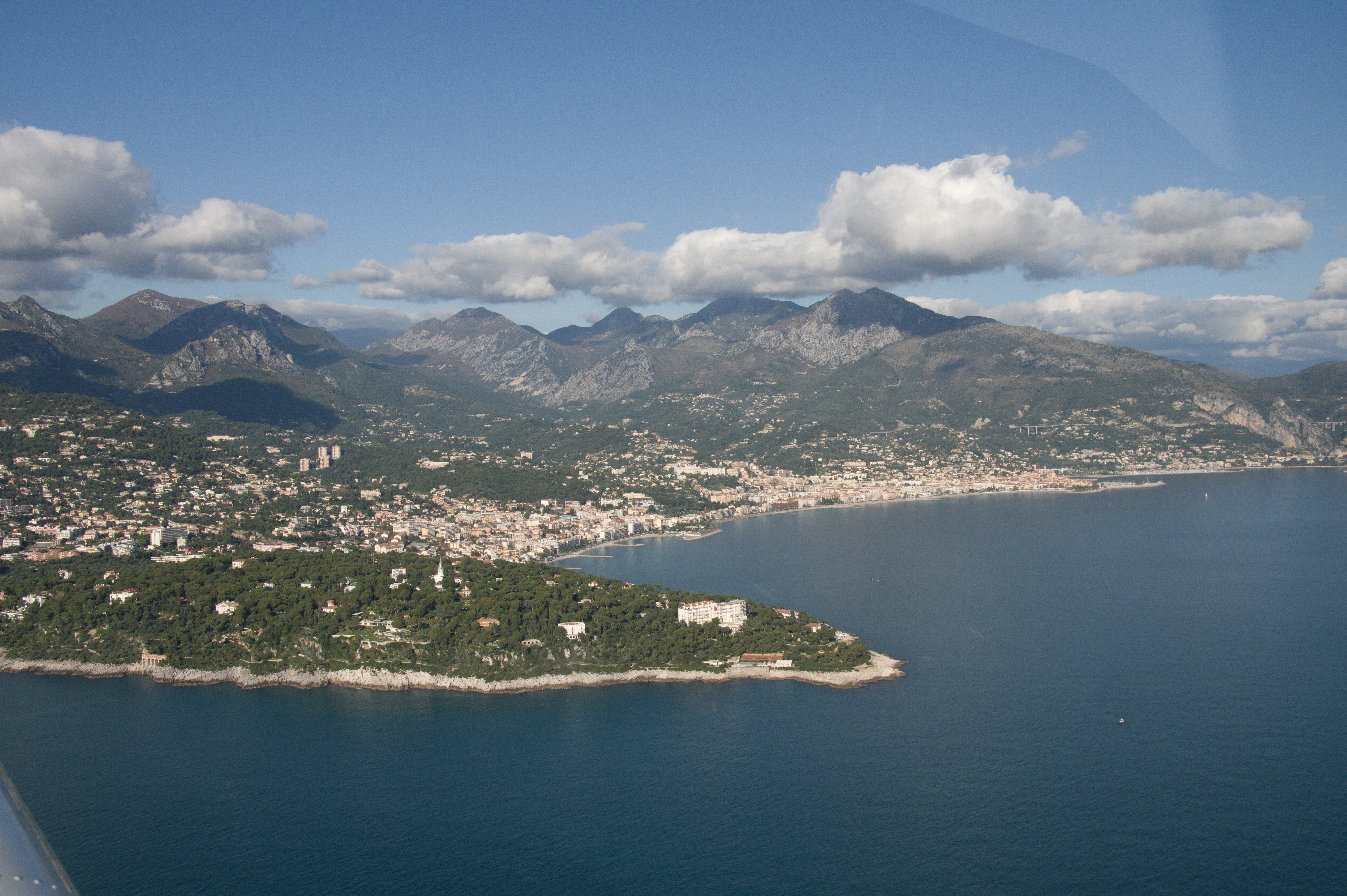
Port of Menton:
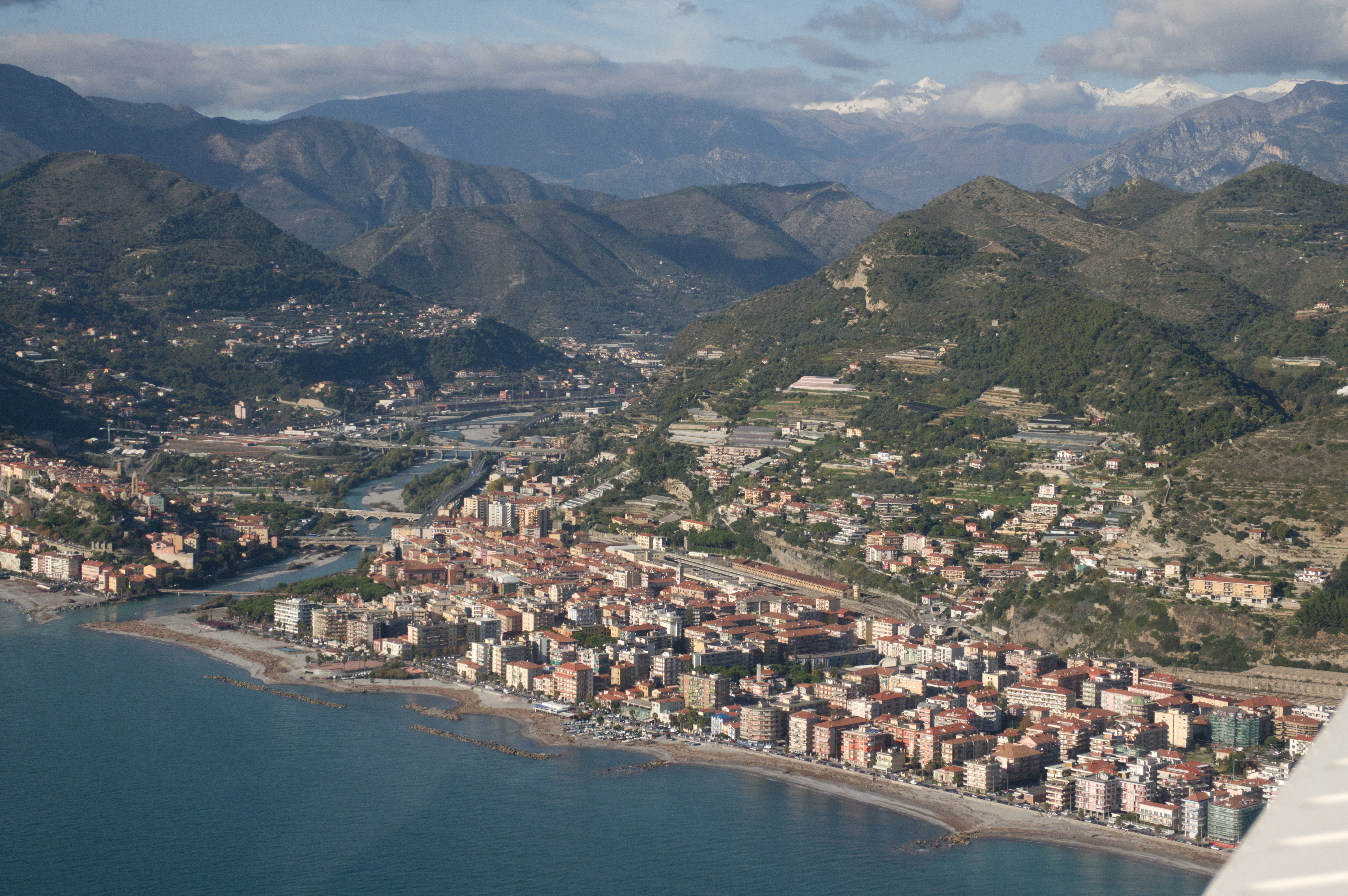
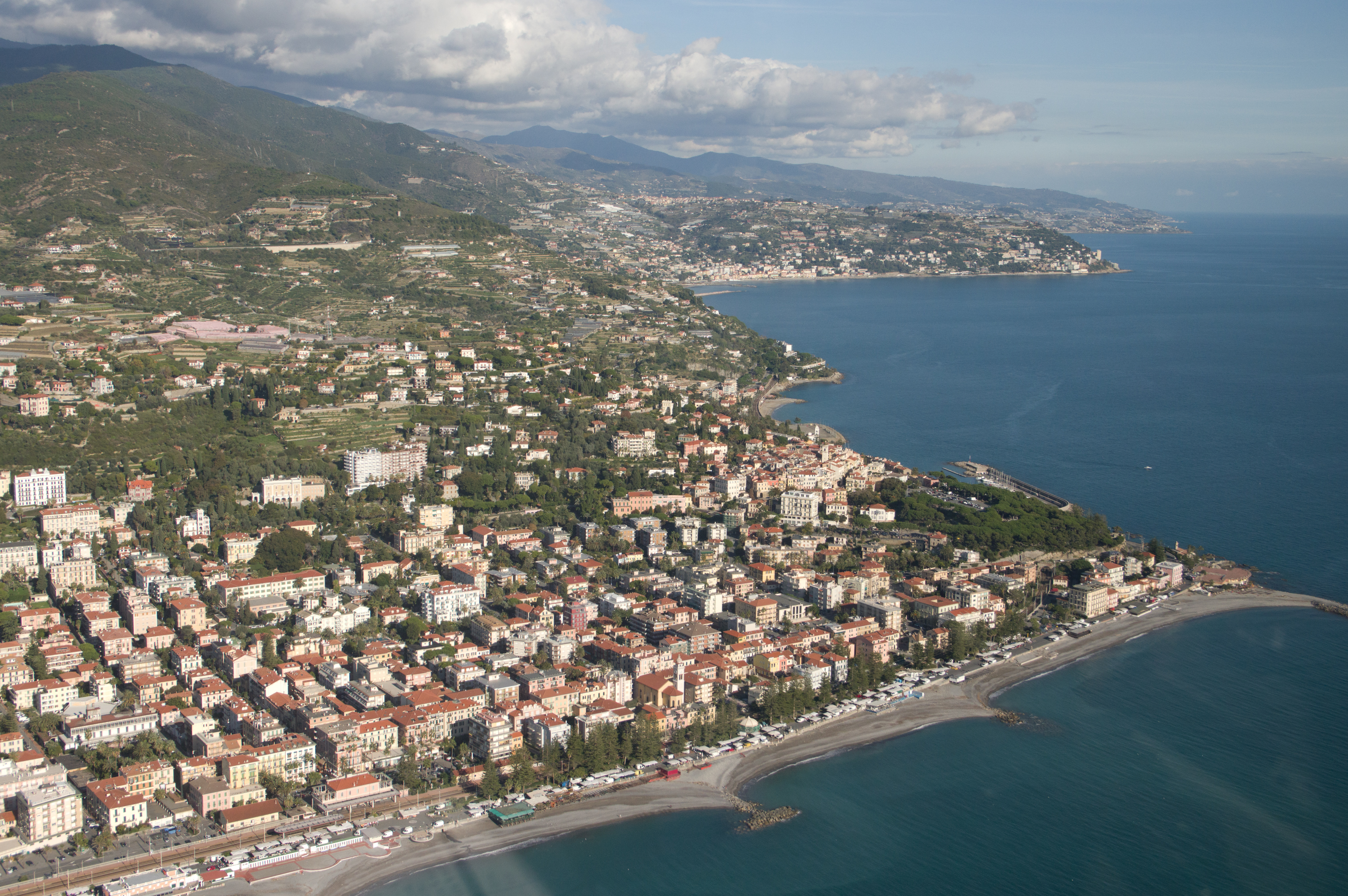
This railway line runs all along the Italian coast. This is Ventimiglia:
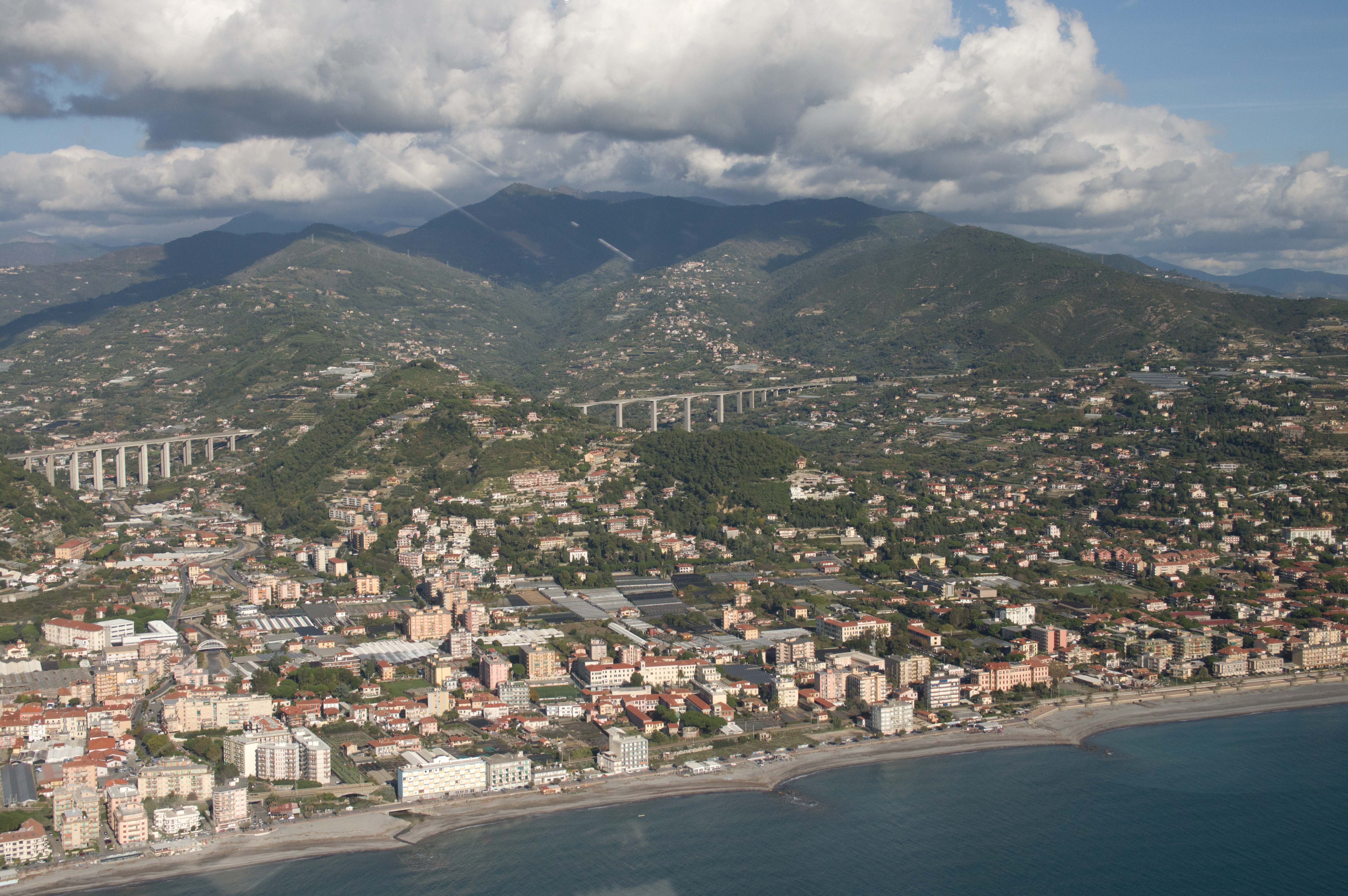
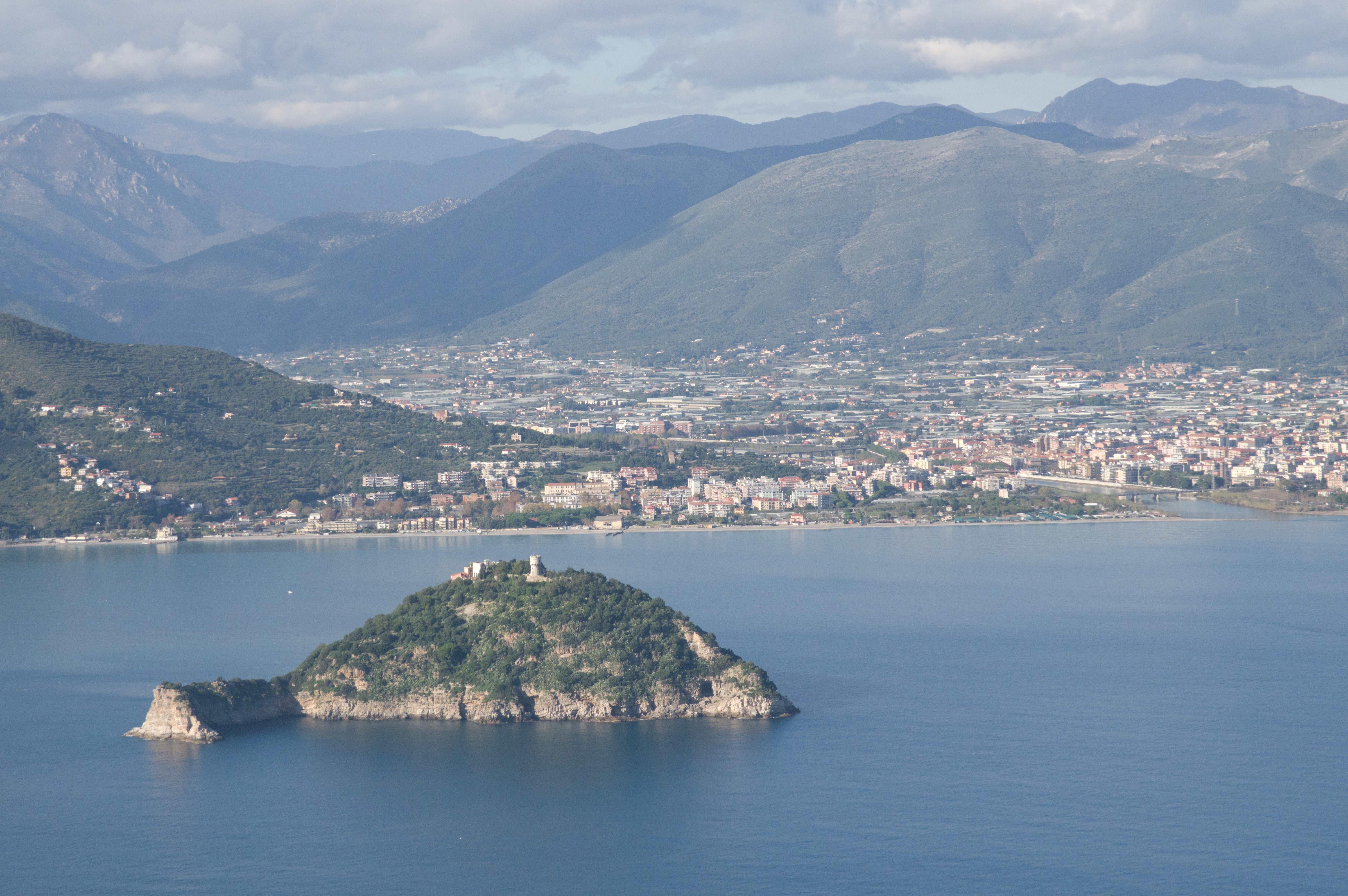
Now we are in Italy and Albenga airport (visited on this trip) is just behind those hills
The next radio contact was with Milan, then Genoa, then with Pisa.
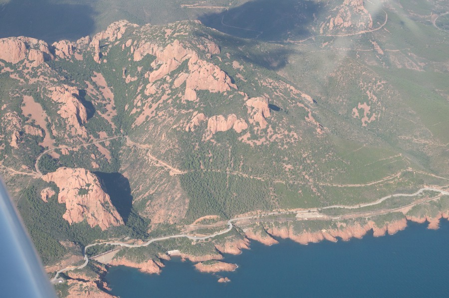
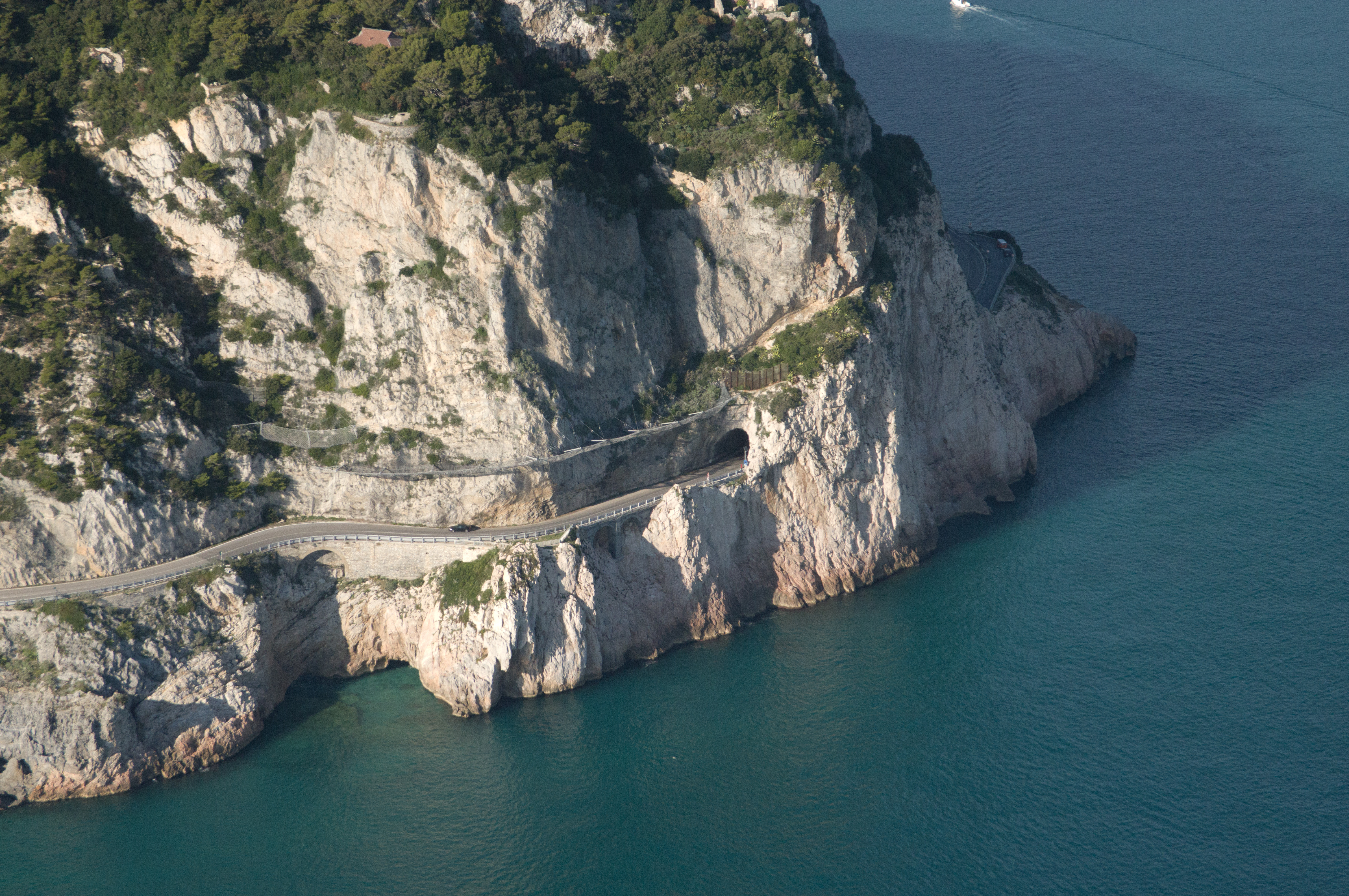
This must be an interesting road to drive along… It is Capo Noli and is one of the most unusual and better known climbing spots in the area of Finale Ligure
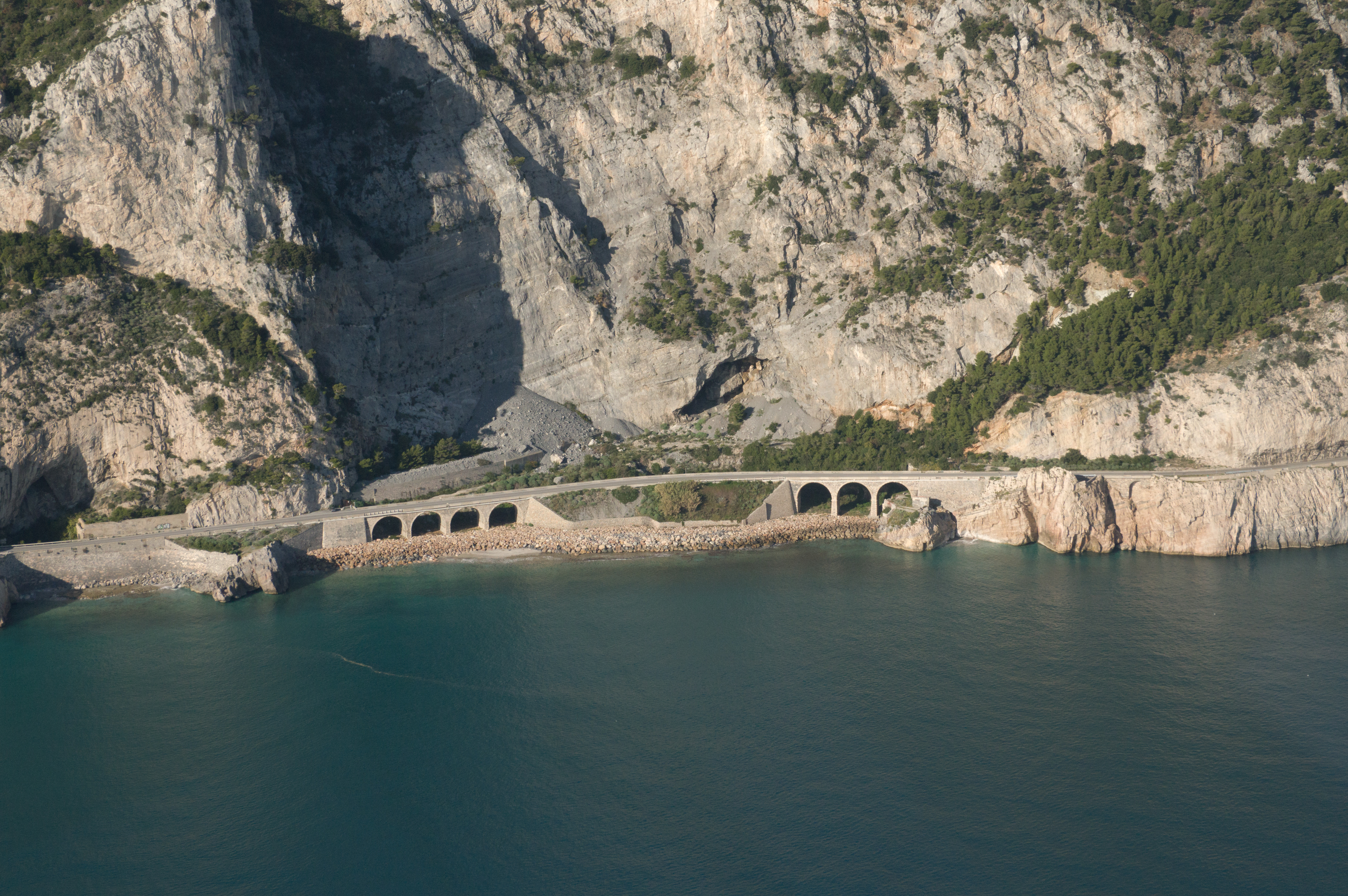

Here the interesting road disappears into tunnel
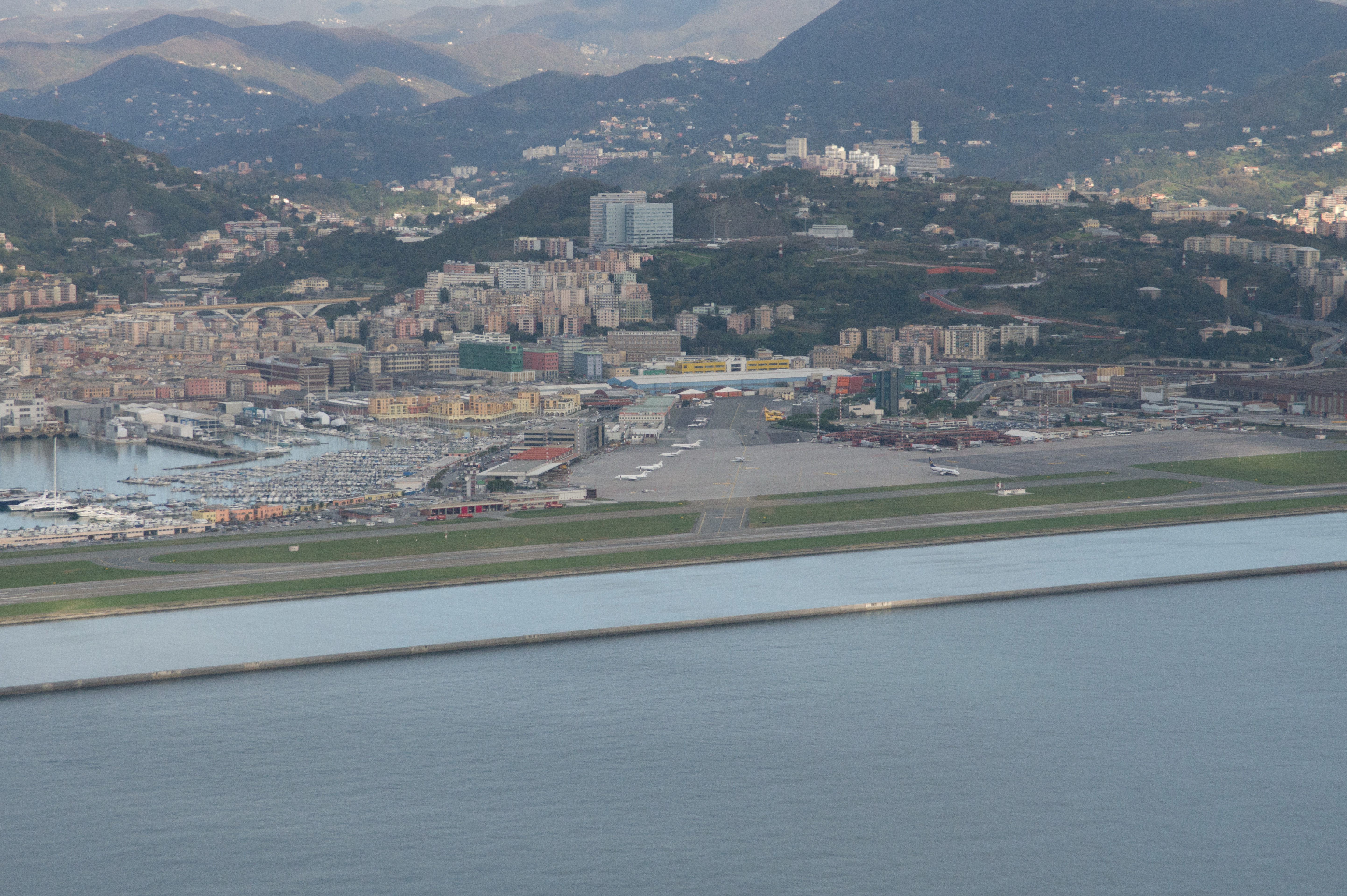
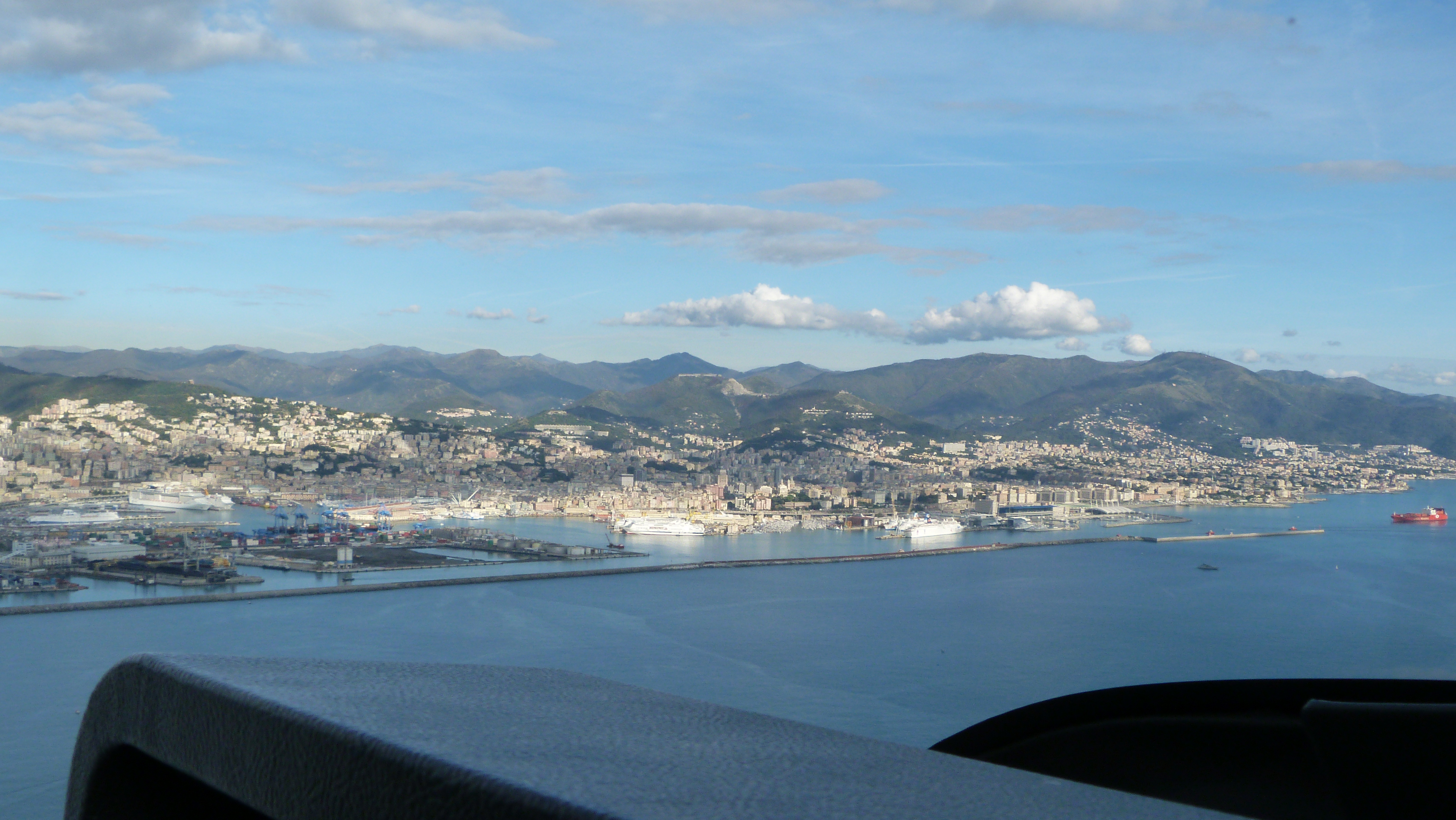
Genoa airport

It is full of business jets
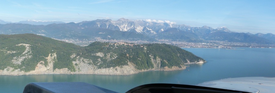
Portofino, just around the corner of the tip... reportedly especially good
for boutique shopping ![]()

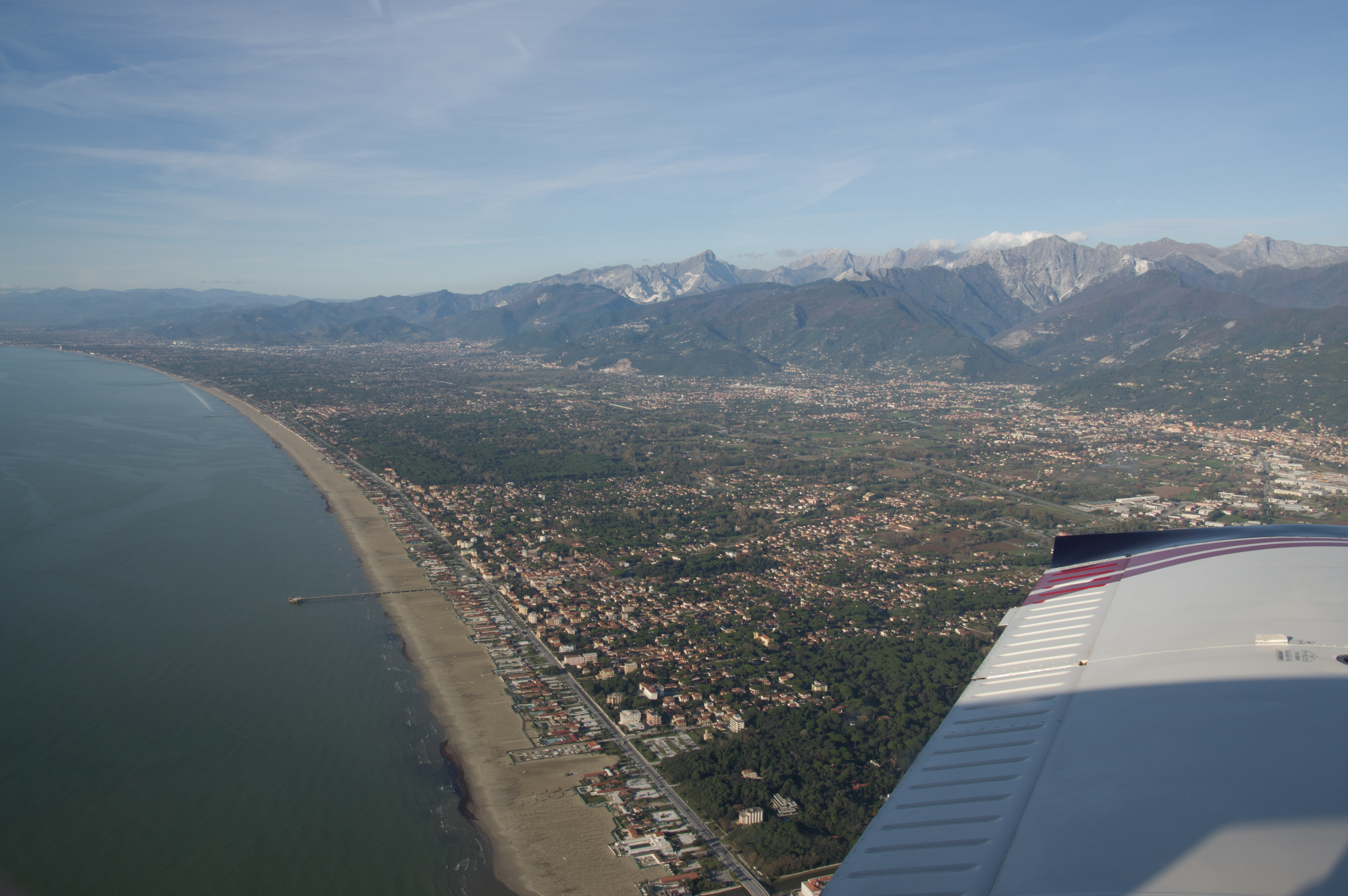
The two prohibited areas just before Viareggio required a big dogleg, out over the sea.
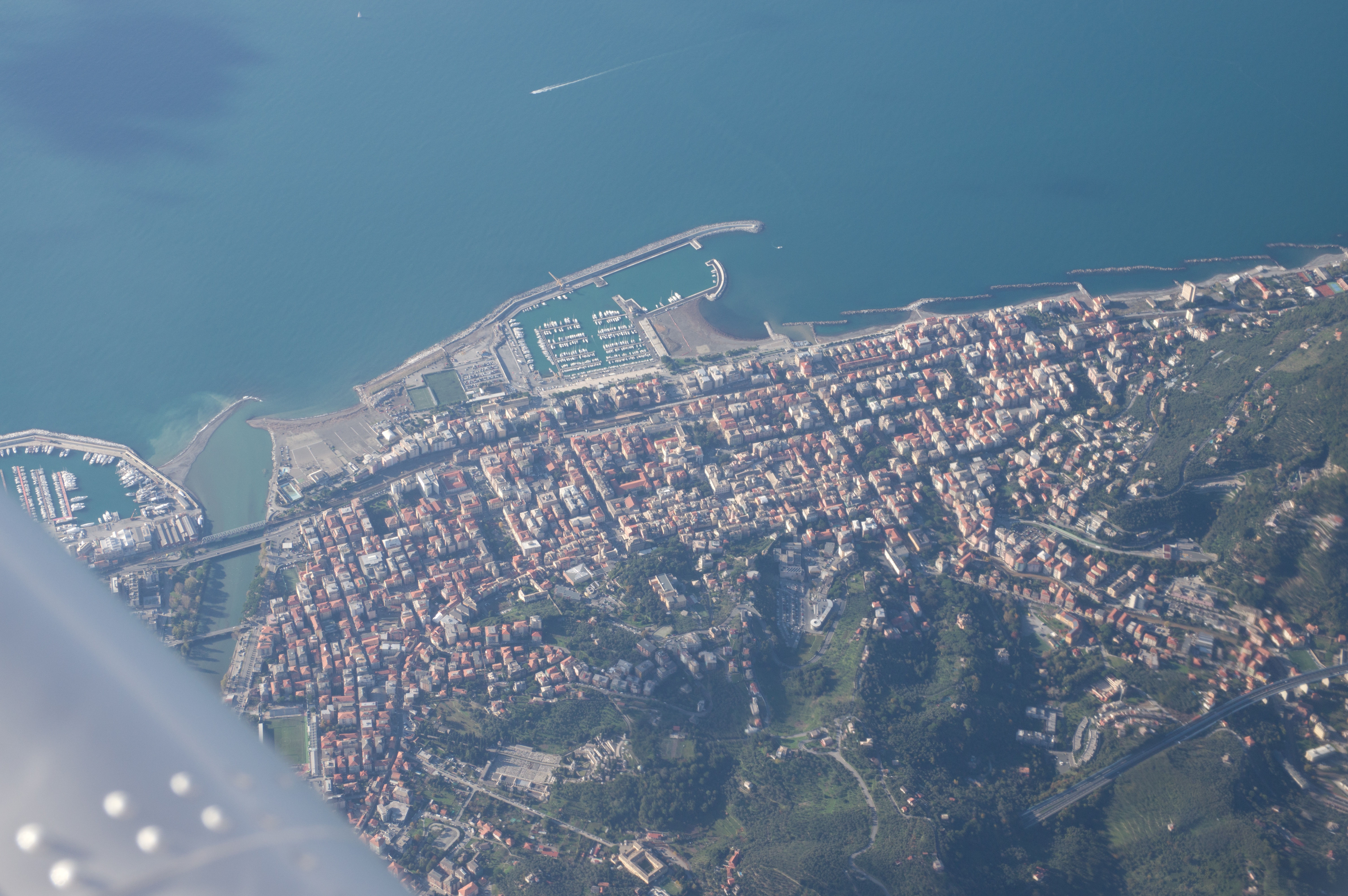
This is Viareggio, just before Pisa. and it is where we turn off inland, towards Lucca
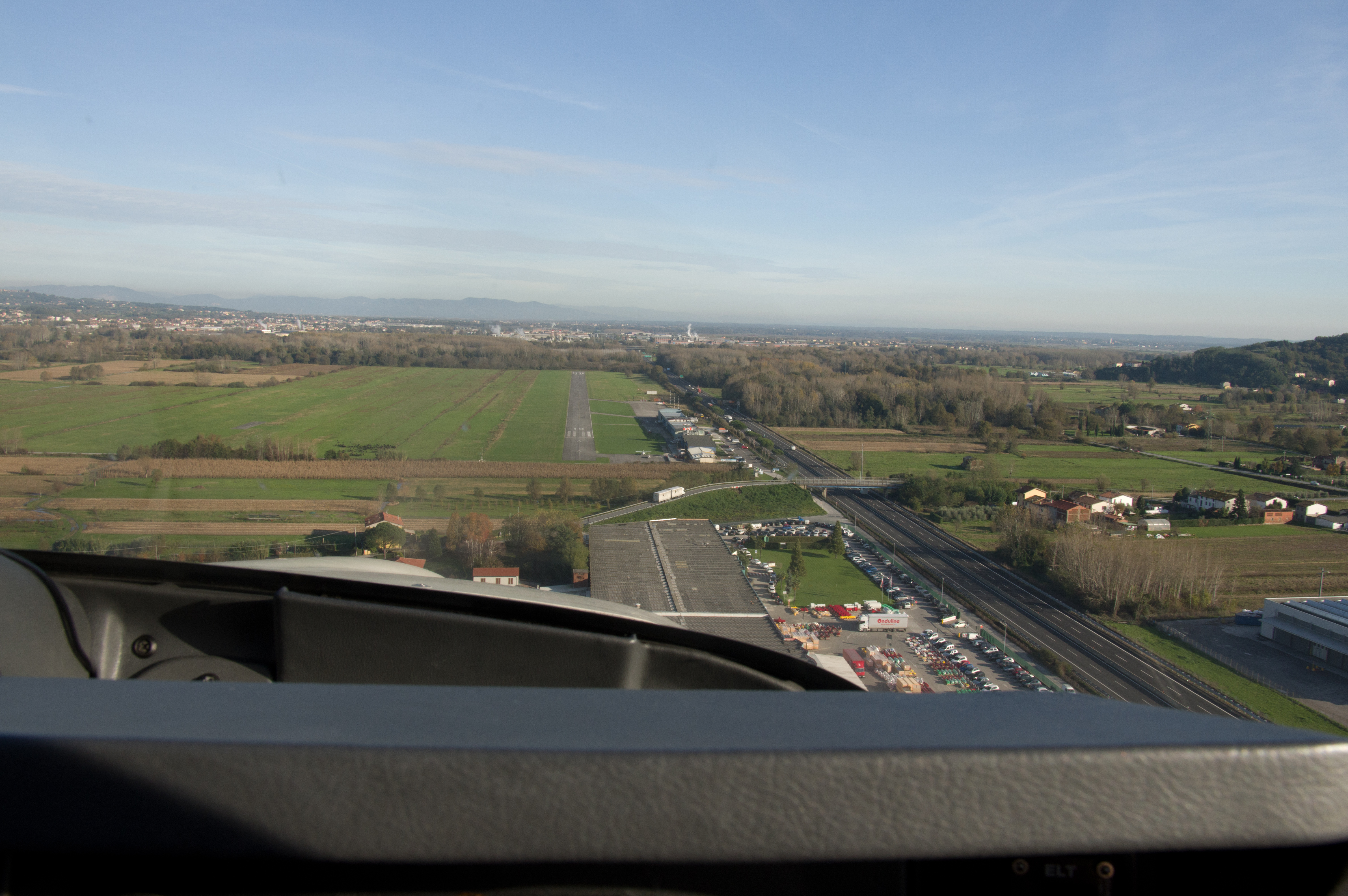
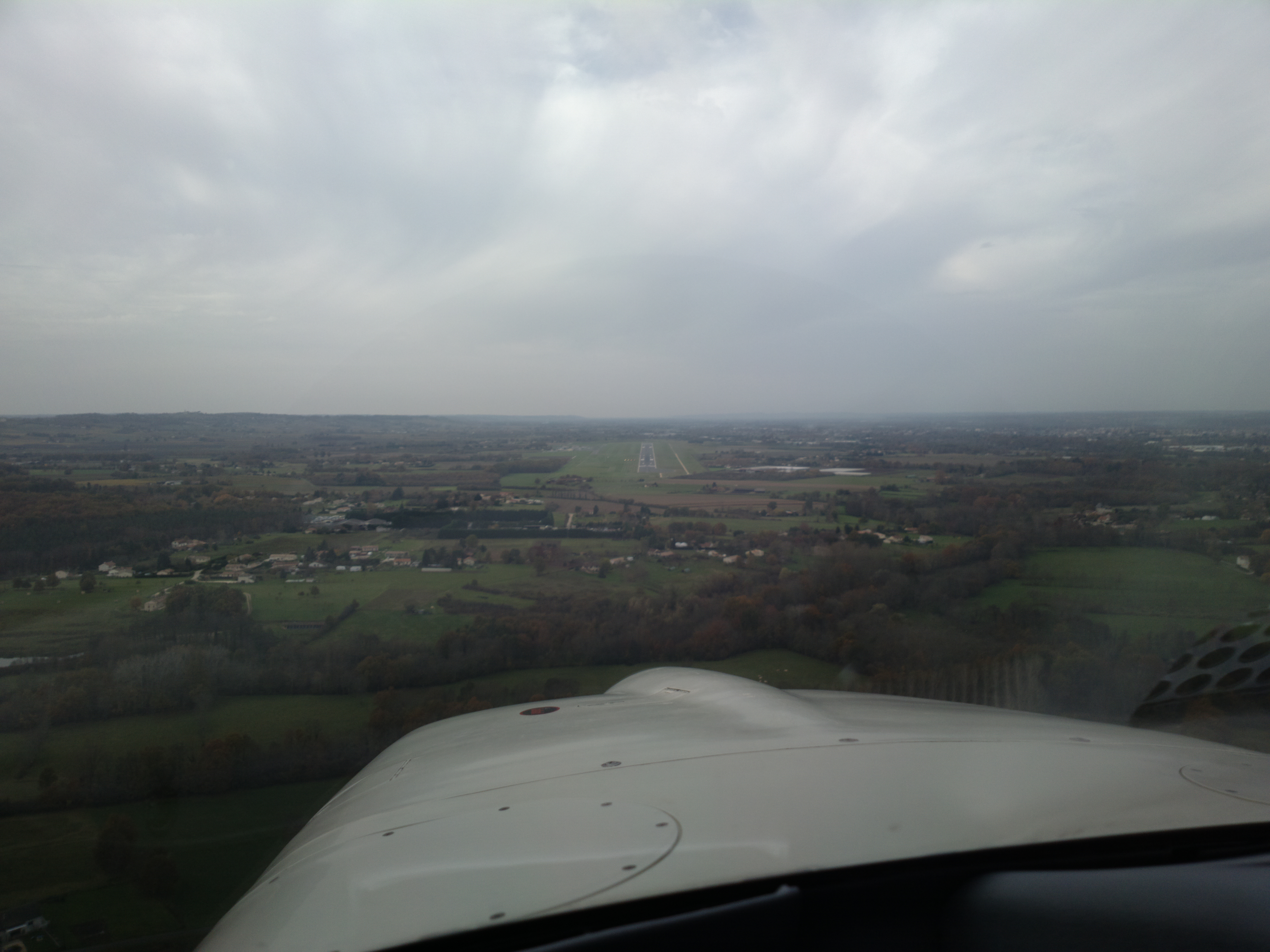
One way to get to Lucca is to follow the big road and here we see the runway just to the left of the road. I have to admit that if the GPS was not telling me exactly where to look, I would not have spotted it until way too late!
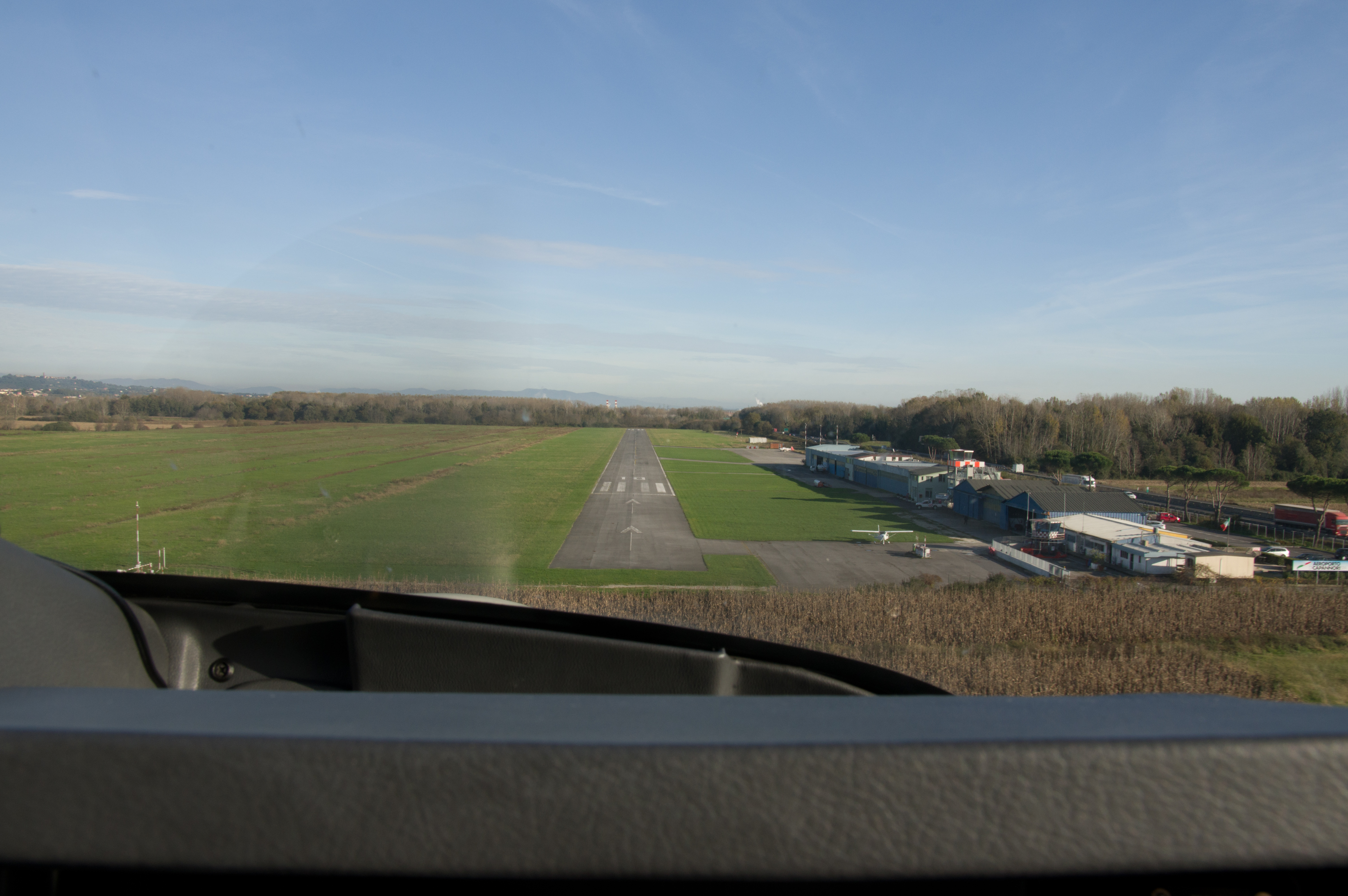
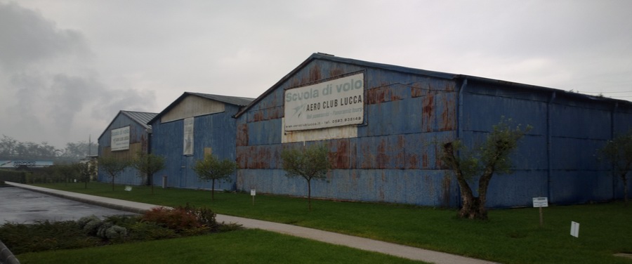
They have a nice runway, nice taxiways and a large amount of parking. We got fuel very quickly. Everyone was really super friendly and helpful. The taxi driver suggested the Hotel Alexander which is within the old city walls and it turned out to be one of the best hotels I have ever stayed in, and at €65/night with a very nice breakfast and a working wifi was just outstanding…
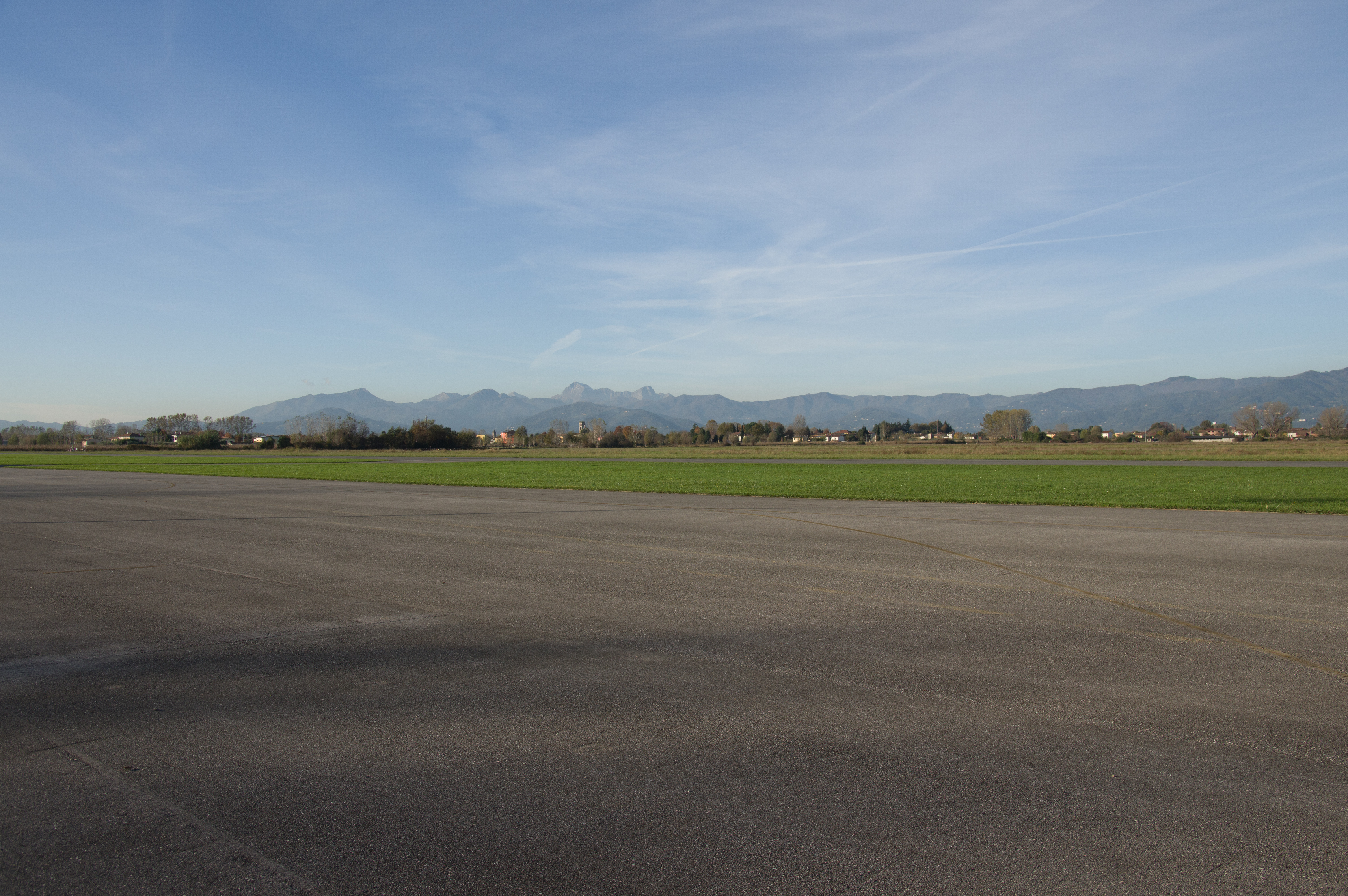
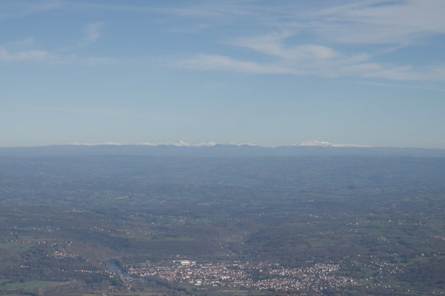
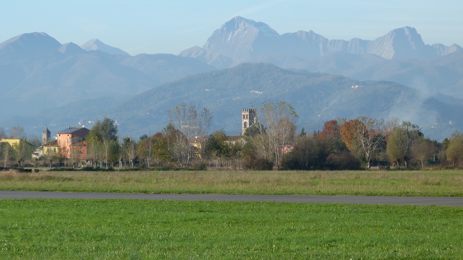
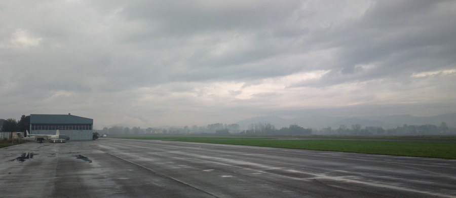
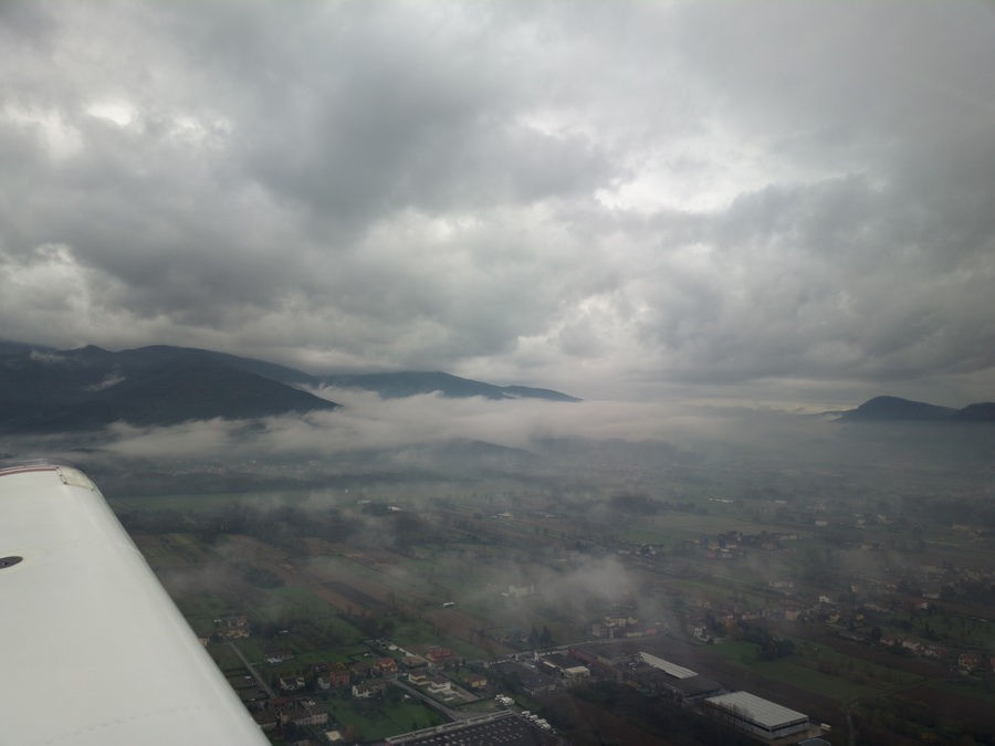
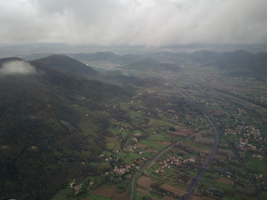
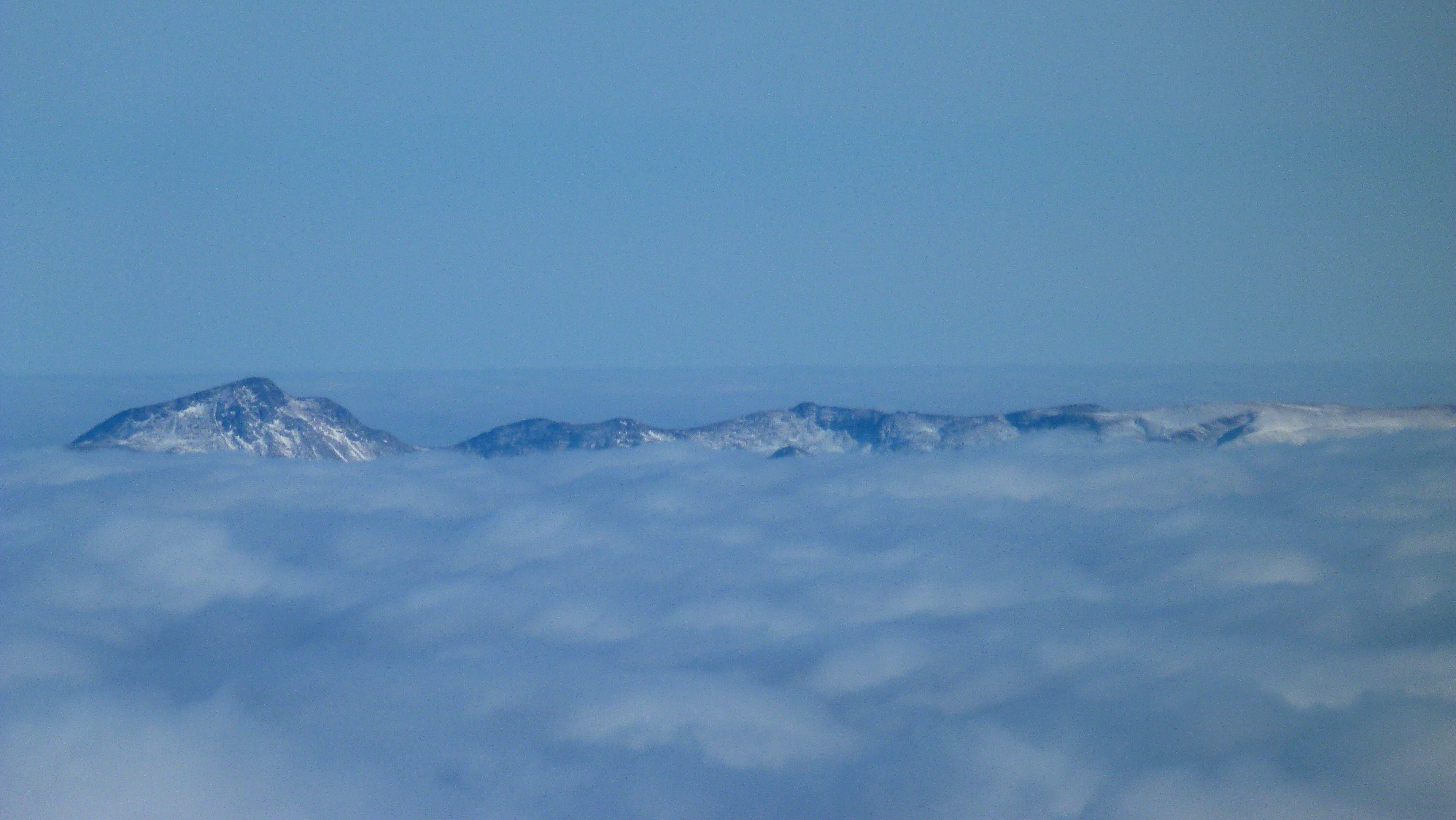
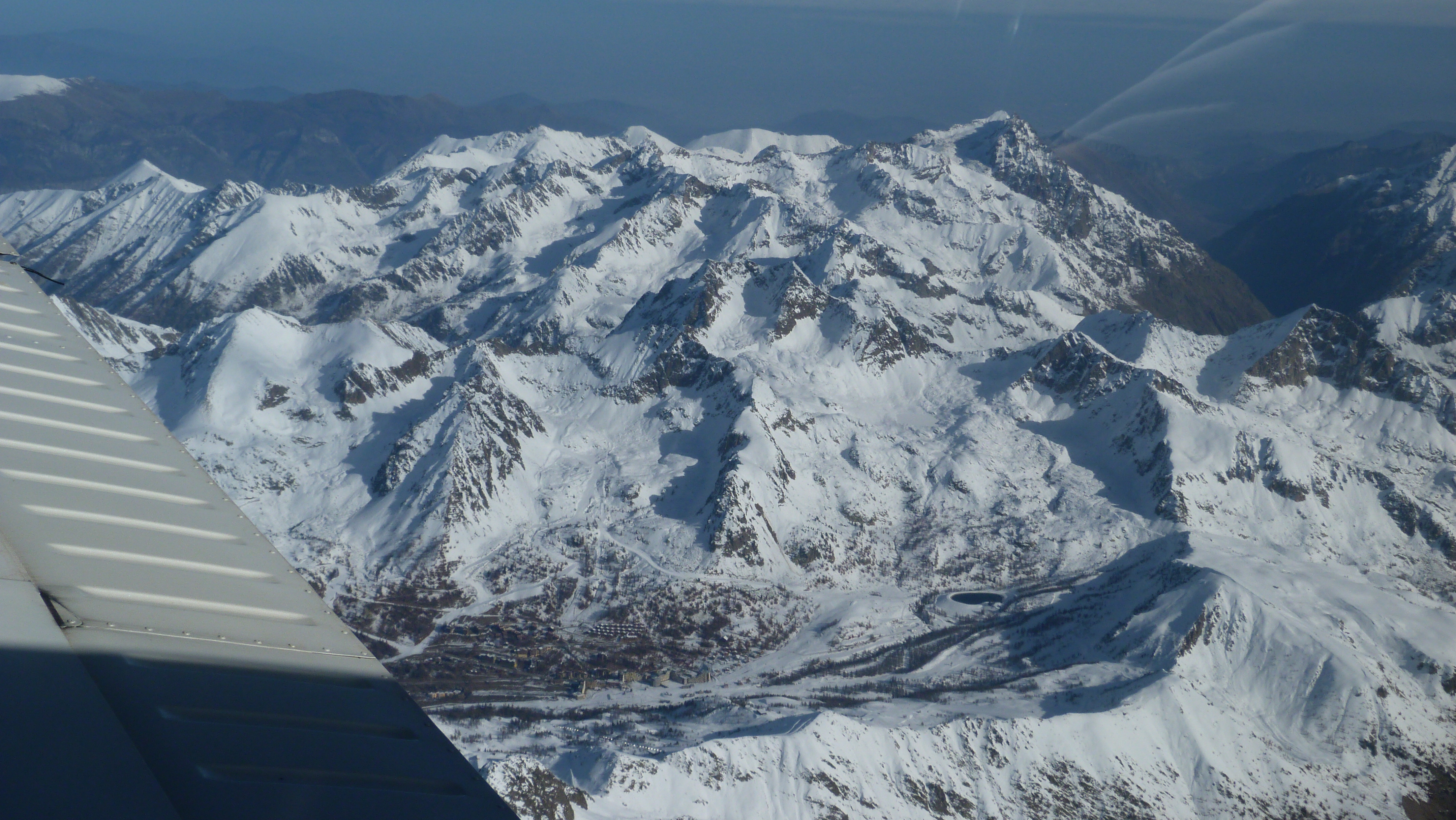
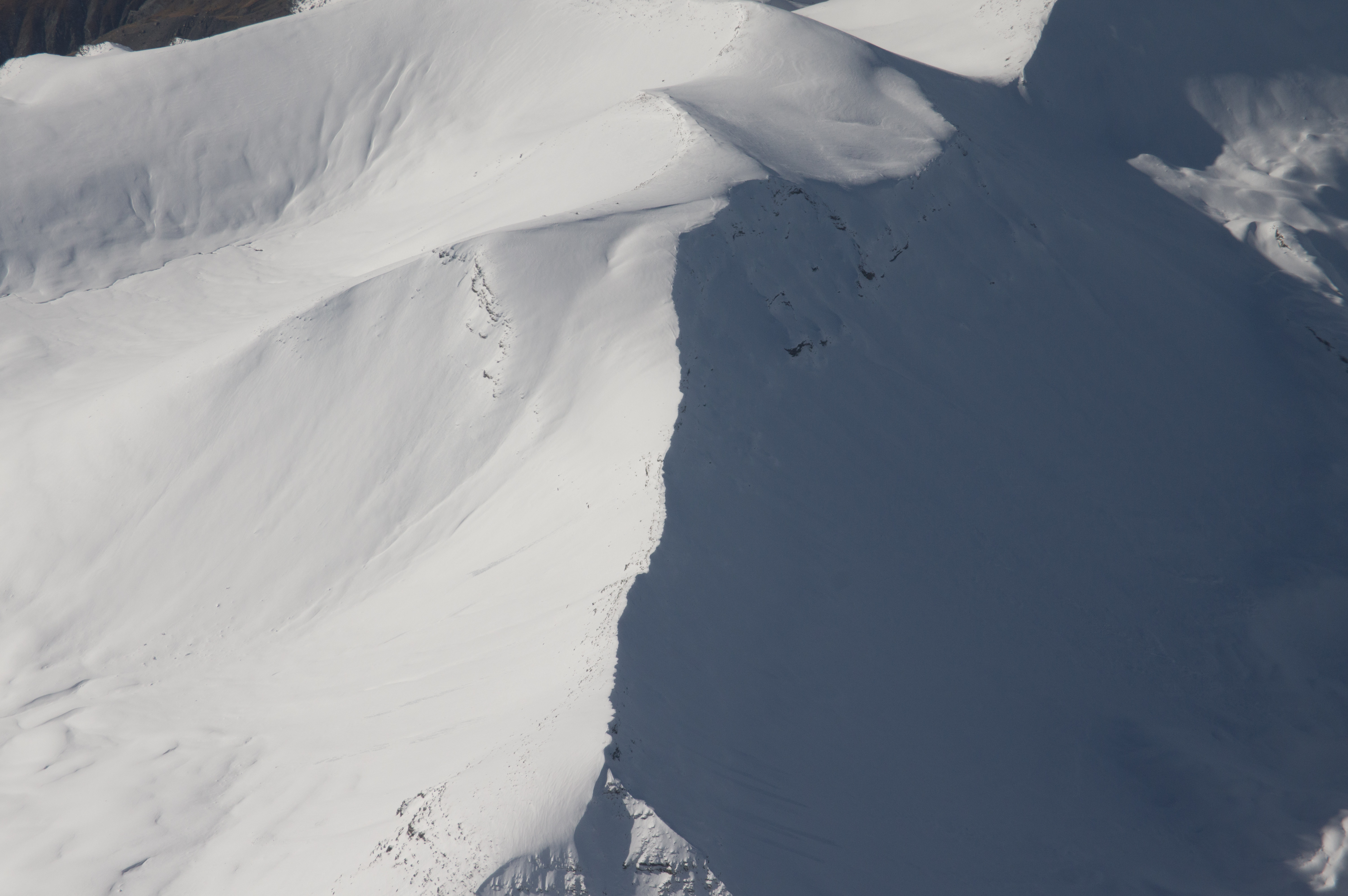
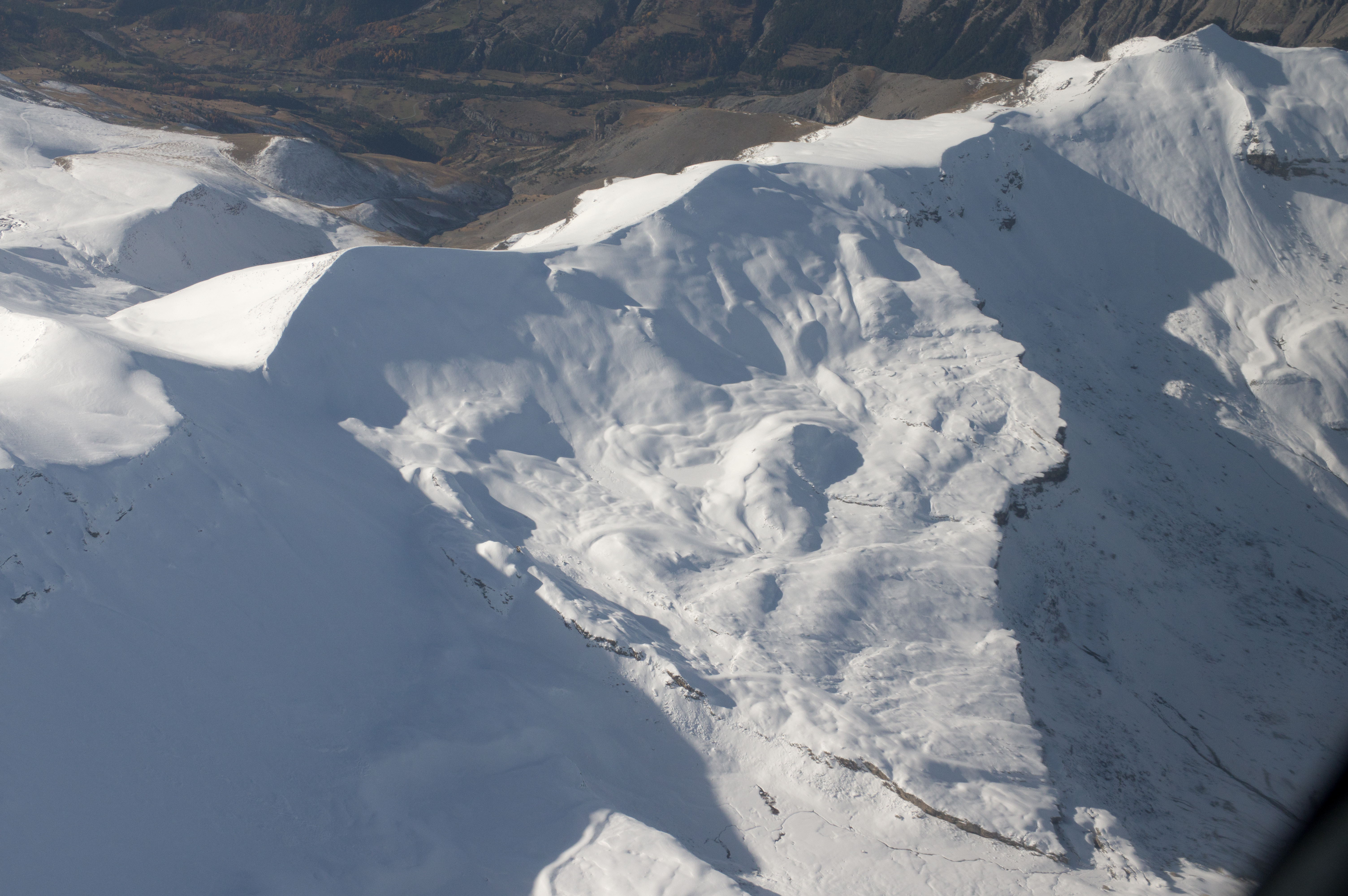
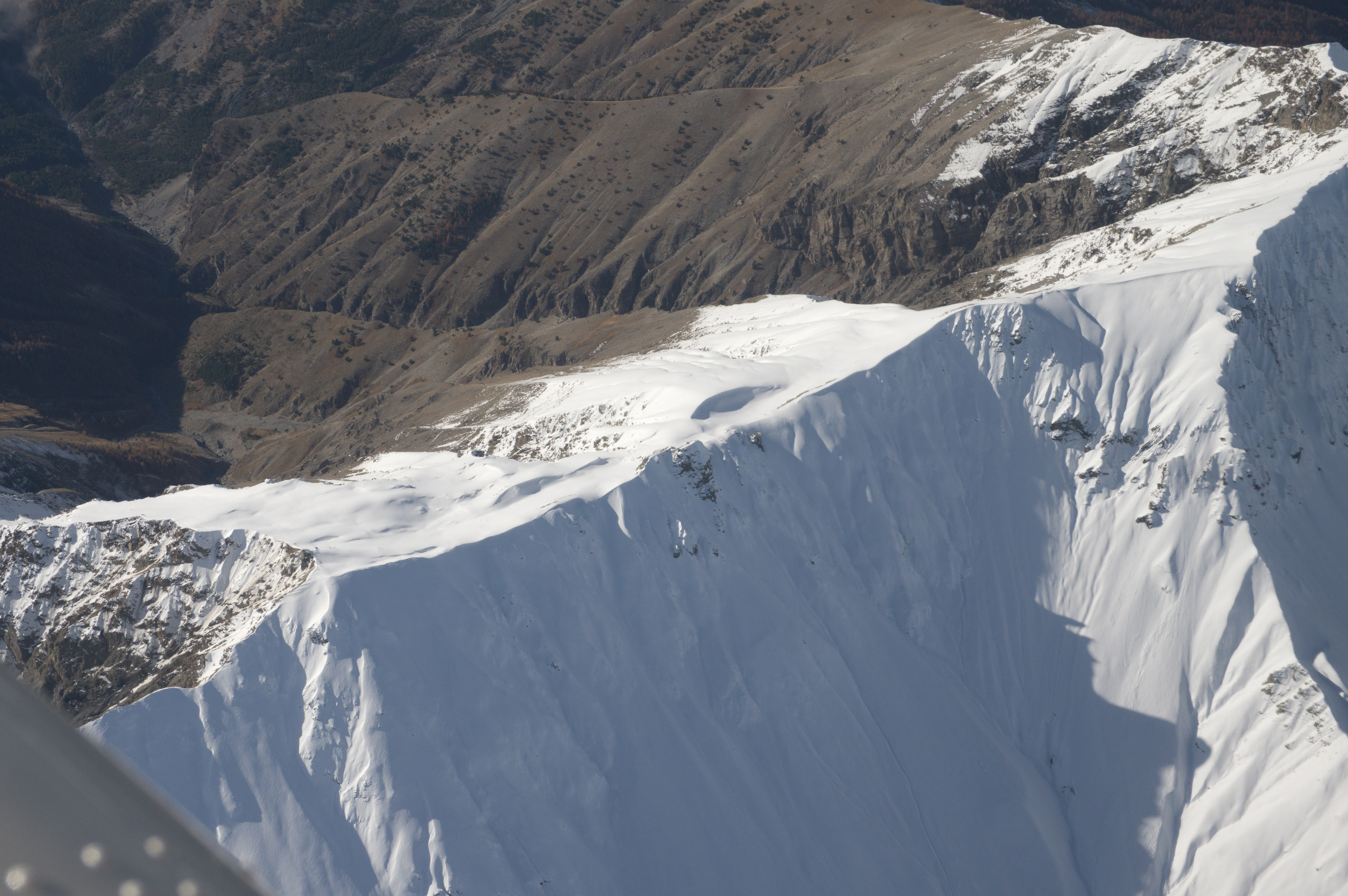
The mountains form an impressive backdrop
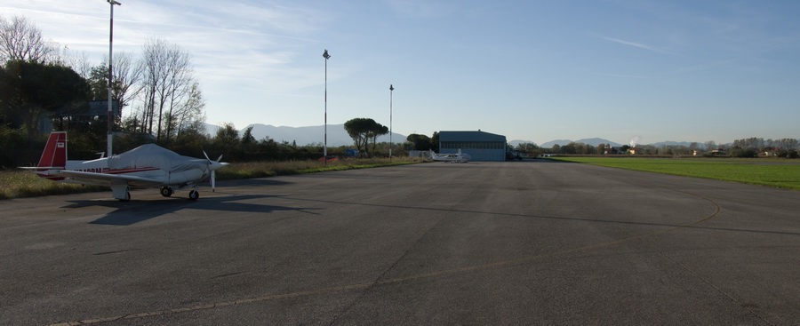
The apron has room for maybe 20 aircraft; there were just two parked, including ours
The temperature was about +20C which was super for the time of the year. I decided to leave my raincoat in the aircraft - a very bad move as it later turned out!
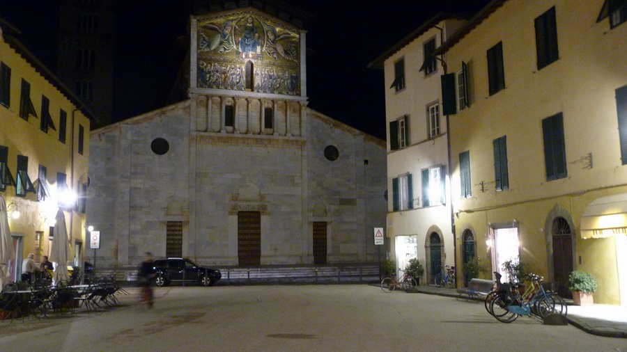
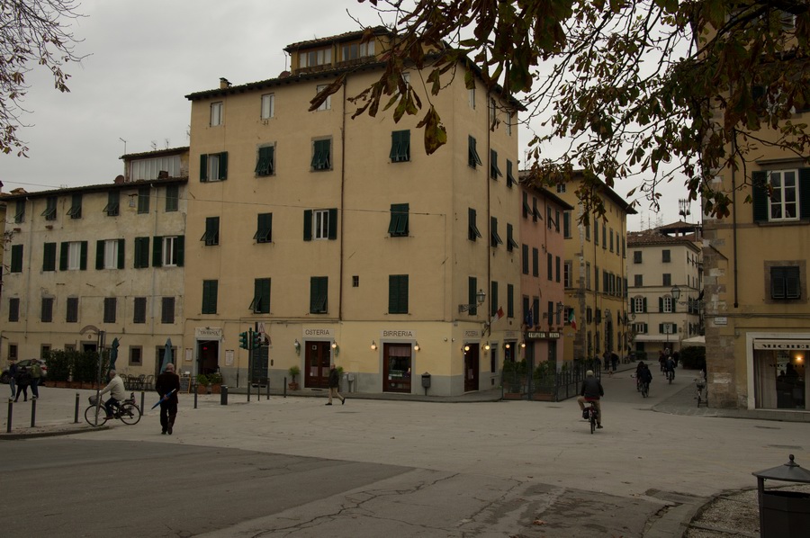
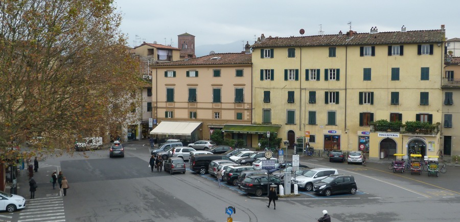
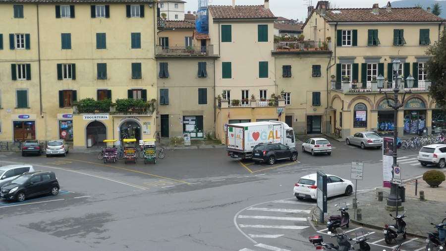
There wasn’t much daylight left… This is a bit of Lucca in the evening
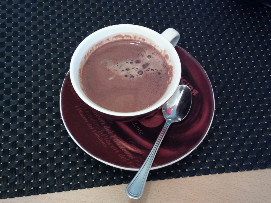
Italian hot chocolate is very nice, though they apparently mix in some flour
to thicken it ![]()
Unfortunately the weather forecast was not accurate and the following day was
very much colder and with low cloud and drizzle – so we didn't get many
photos of the city... The rain gradually got worse and I was sorry I didn't
bring the raincoat ![]() In reality I was more concerned about getting out of there the following morning,
and getting back to the UK whose forecast was also getting worse. We did manage
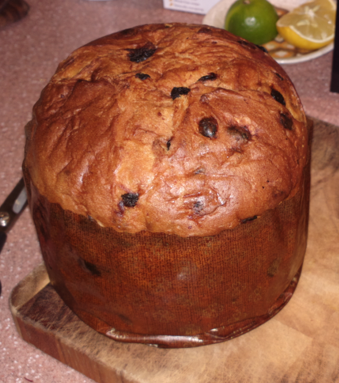
to find some super classy hand-made xmas tree decorations, and a massive panettone
cake which was absolutely the best I've ever had
In reality I was more concerned about getting out of there the following morning,
and getting back to the UK whose forecast was also getting worse. We did manage
to find some super classy hand-made xmas tree decorations, and a massive panettone
cake which was absolutely the best I've ever had ![]()
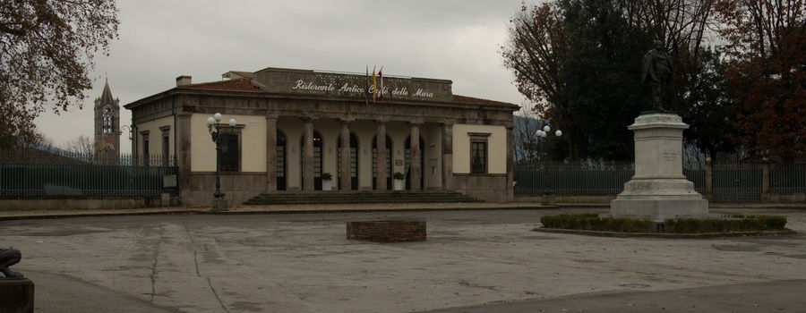
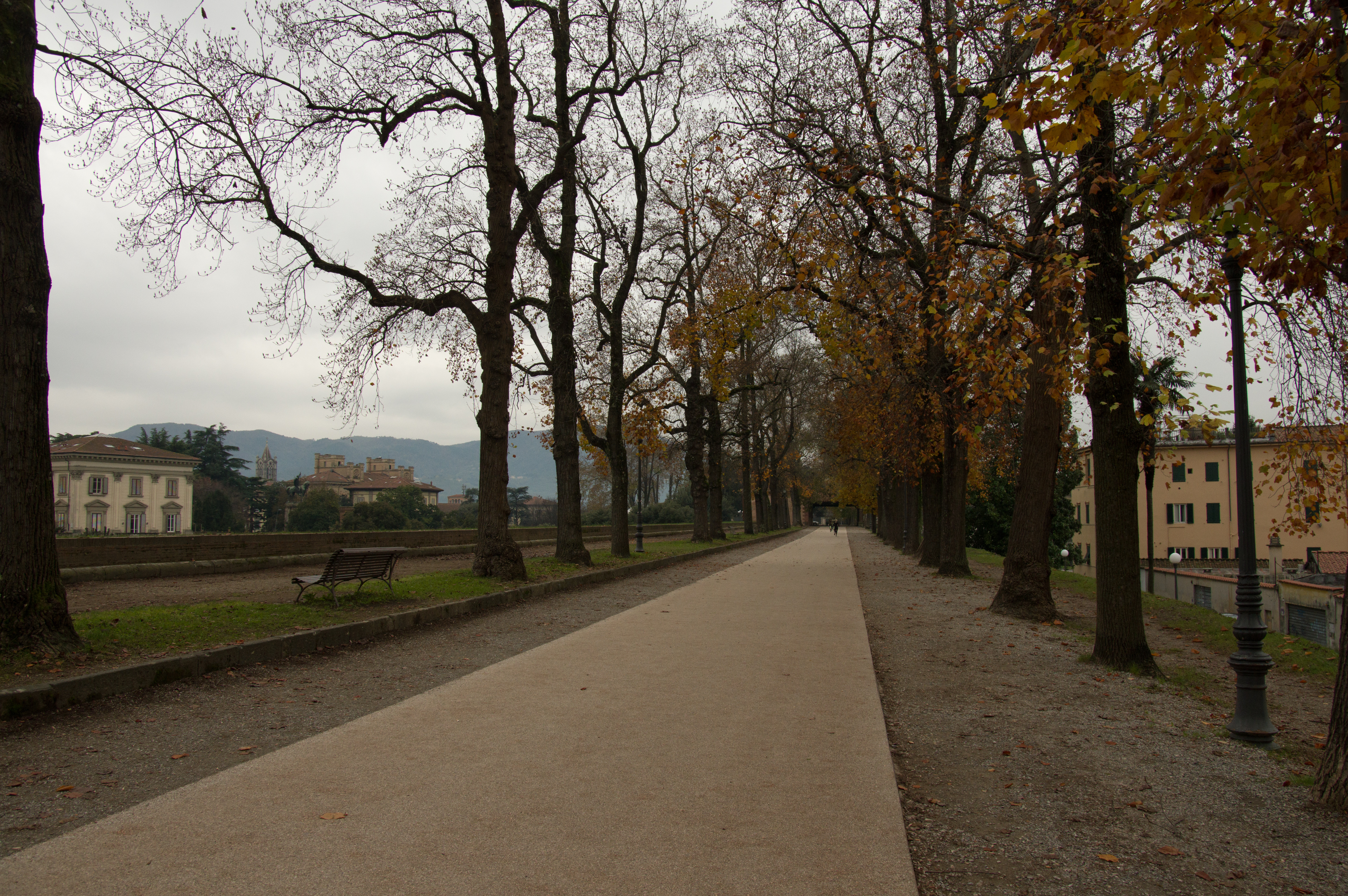
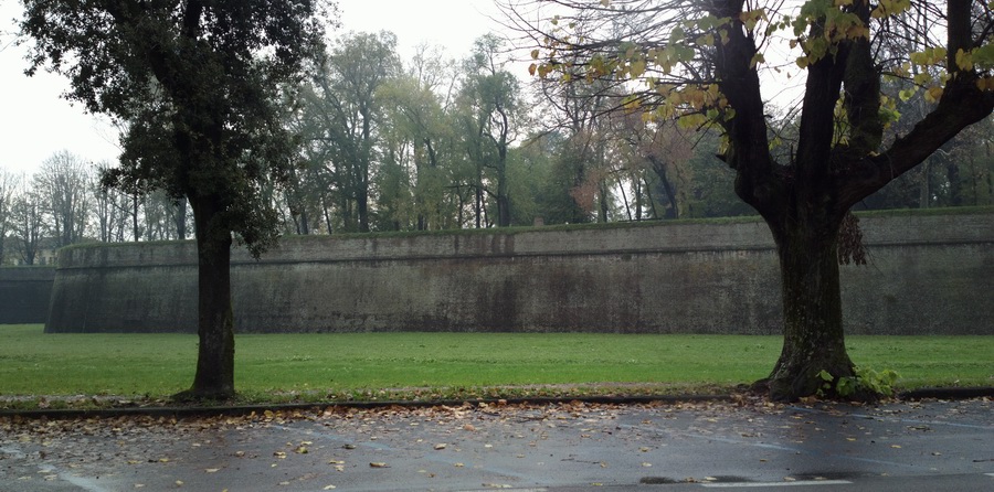
This is a walk all the way around the top of the city wall, which is really nice to do and takes about 2 hours
This shows a bit of the "main" Lucca city that lies outside the old city walls
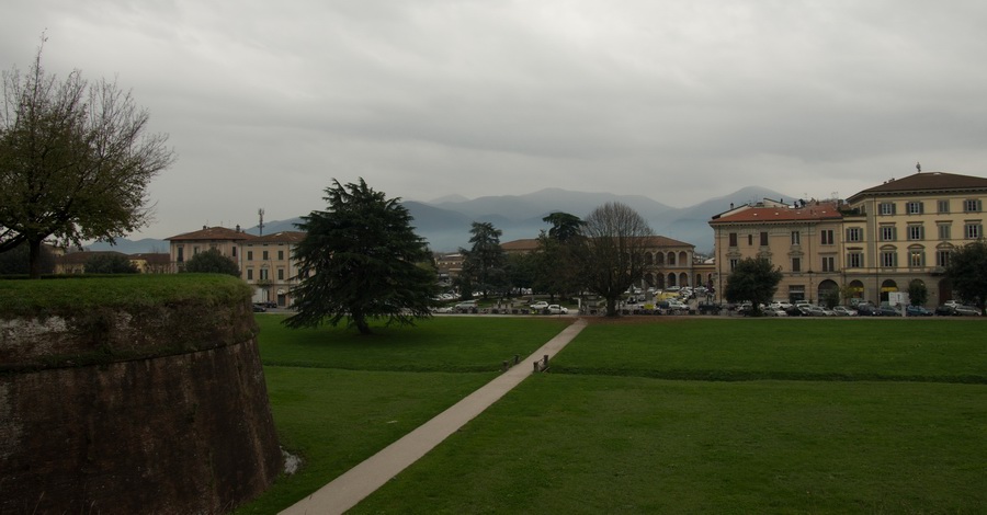
The taxi to the airport was €25. This makes it €50 total, which is perhaps ironic when so many people moan about landing fees and - particularly among UK pilots - boycott any airport charging more than ten quid... The city wall, from the outside:

Return Flights Lucca - Bergerac - Shoreham
I looked at the UK weather in the morning and it wasn't encouraging! TAFs/METARs MSLP: 0600 1200 1800 Radar Sferics (sferics was clean). The following day's 1200 was OK for the UK end but with some bad weather to fly through. Anyway, I went ahead because there were a number of UK alternates with an ILS, all forecast above minima, and getting stuck in the UK is better than getting stuck abroad because from the UK one can get a train/taxi/etc back home if necessary.
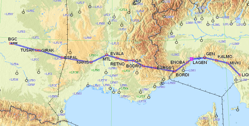
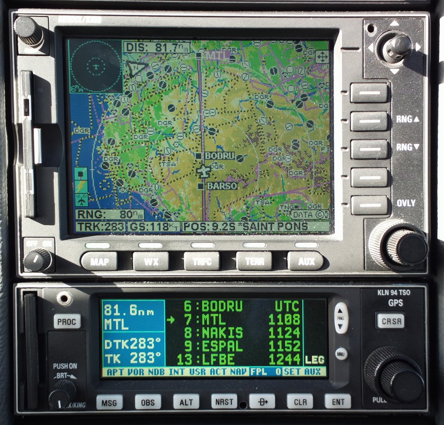
The flight from Lucca back to Bergerac was filed IFR. Lucca is a VFR-only airport so it had to be a “Z” flight plan, with a changeover from VFR to IFR a few miles up the road, from Pisa Approach. Italy is one of a number of coutries which do not allow an "I" flight plan to be used with an airport which is VFR-only.
LIQL MIVKI/N0152F110 IFR M730 GEN/N0150F120 M859 LAGEN/N0148F130 Q712 ENOBA Z185 BORDI/N0152F110 DCT MOTUR DCT BARSO DCT BODRU/N0152F100 DCT GA DCT RETNO A3 MTL DCT ETAKI DCT NAKIS DCT LUMID DCT ADEVA DCT ESPAL DCT GIRAK V14 TUSAK DCT BGC LFBE
There was a lot of low cloud around but it was fine for a VFR departure, and it was visibly thin enough to not be a problem given the +12C surface temperature and a likely 0C level around 6000ft
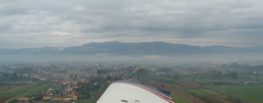
This is a great picture, looking back at the entire walled city
After we collected the IFR clearance, about 25 mins after takeoff, Italian ATC issued some confusing instructions, being apparently unaware of the prohibited zones till very late…
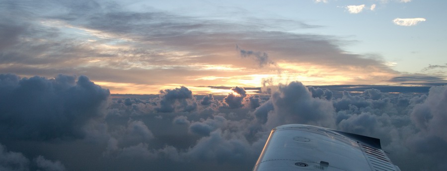
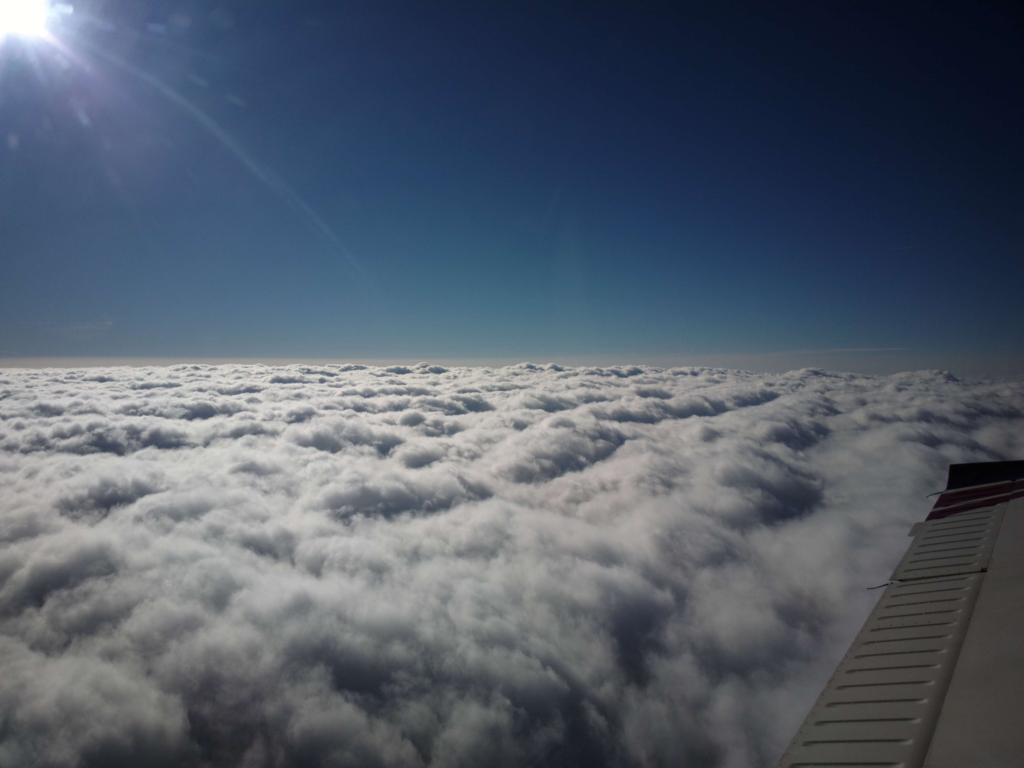
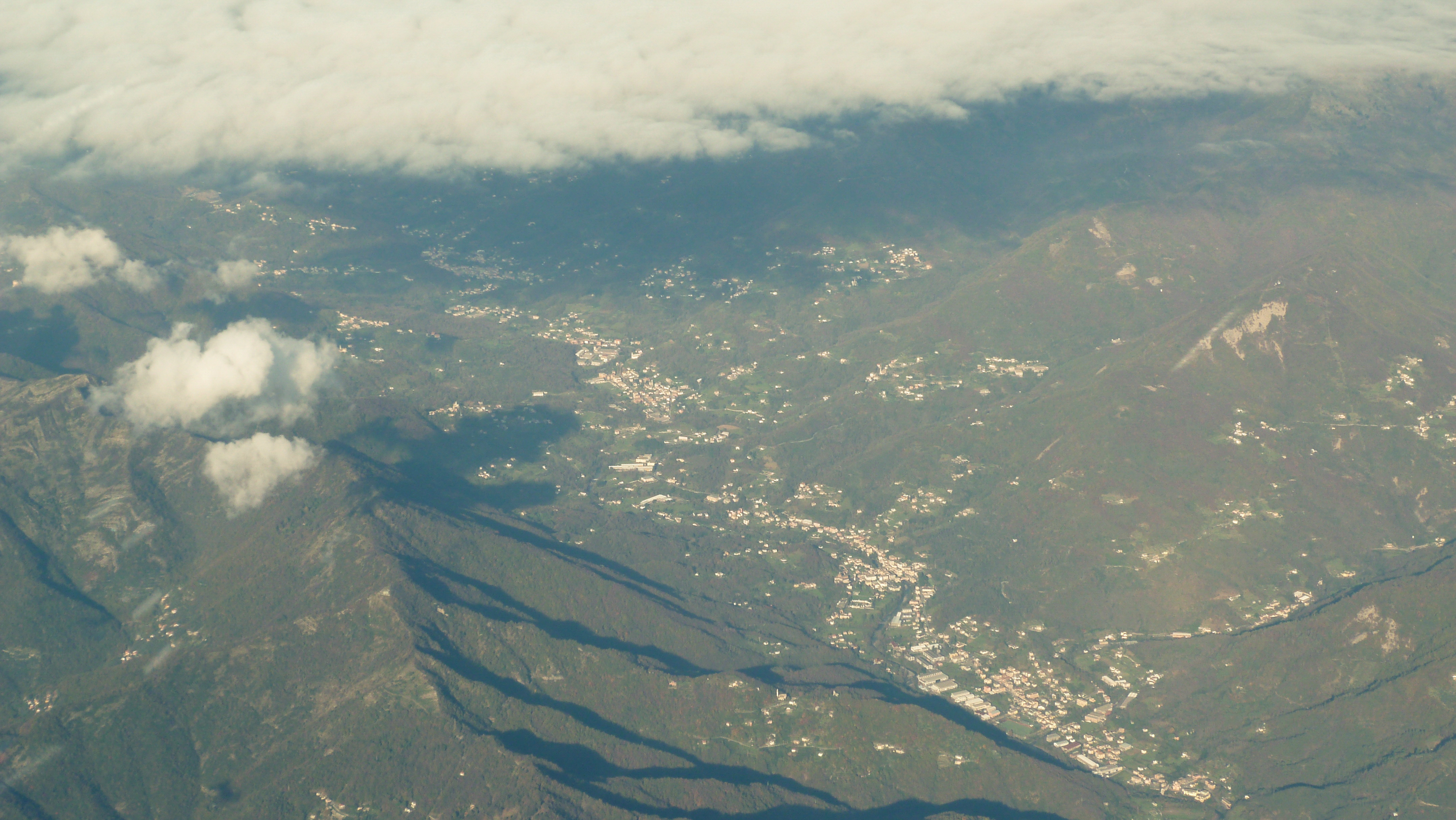
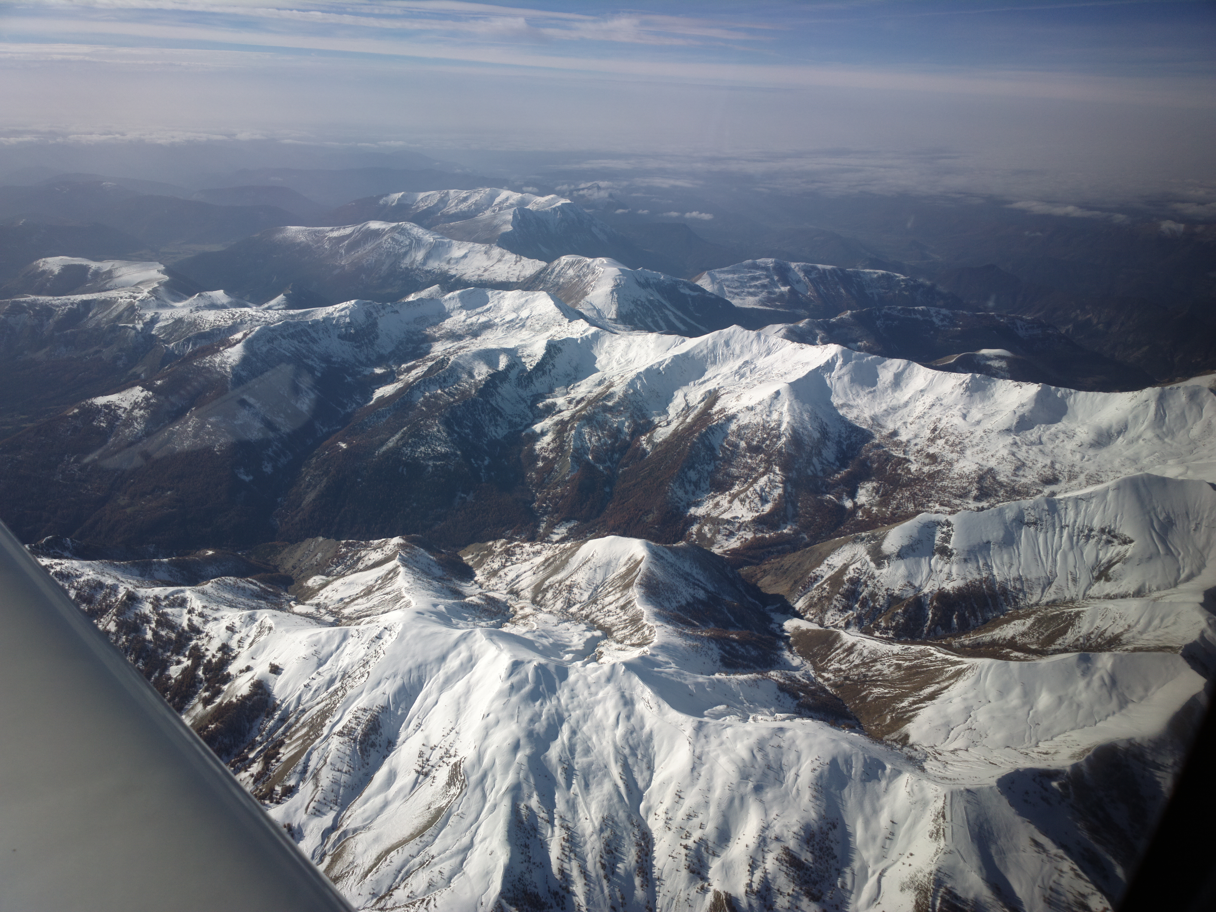
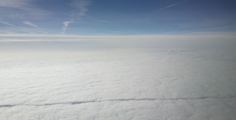
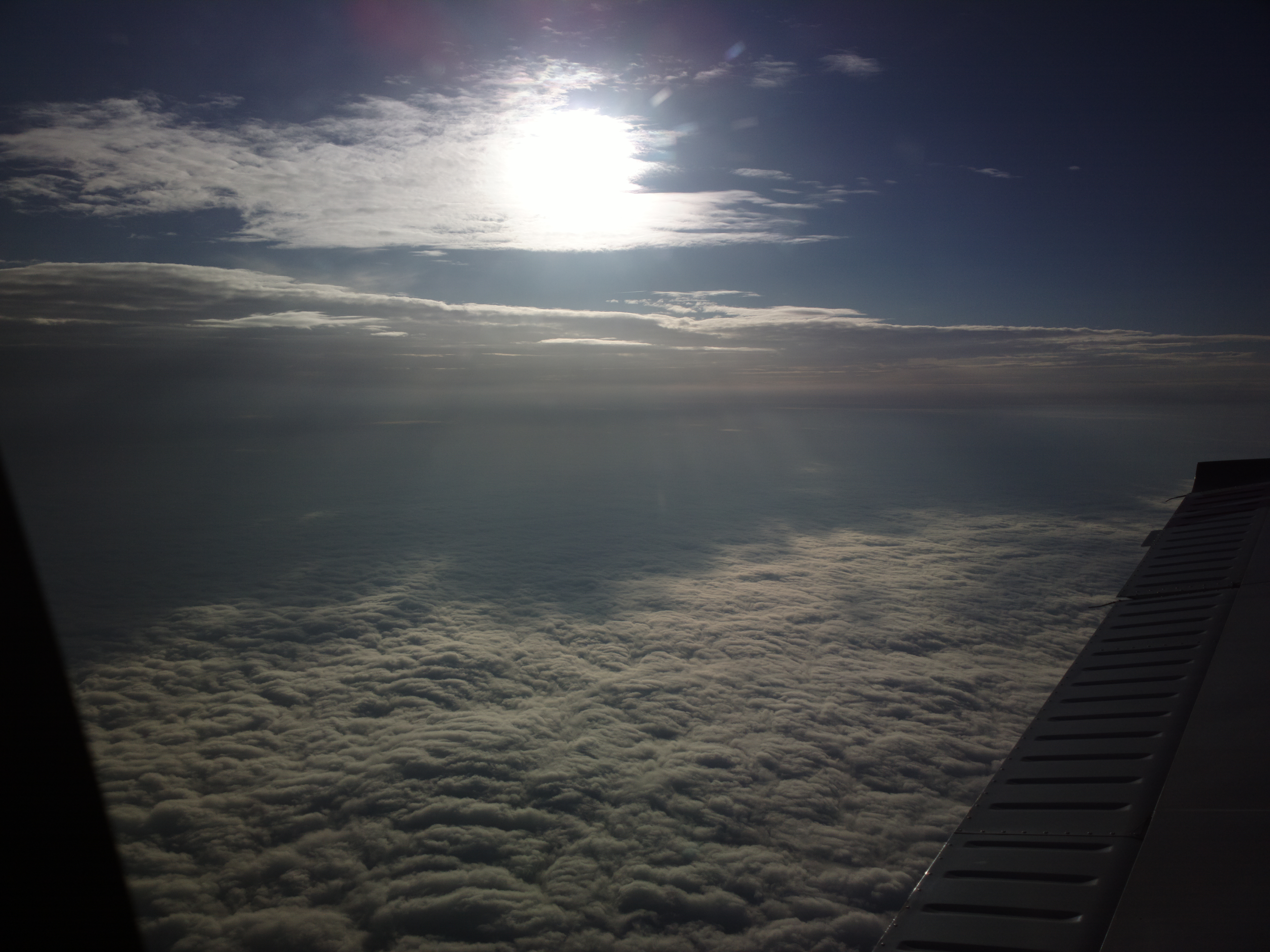
Finally, we are on top around 6000ft
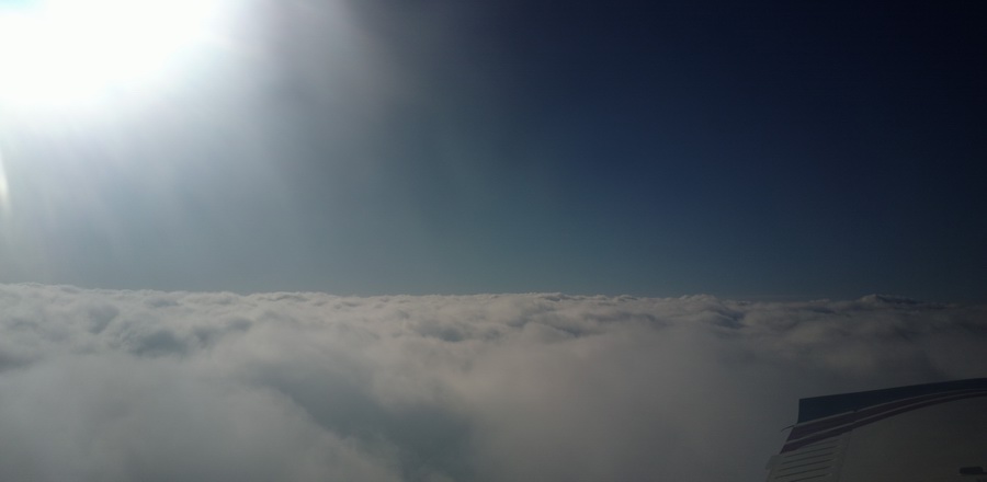
and this is what IFR is about - as the 2nd best thing after no clouds at all
![]()
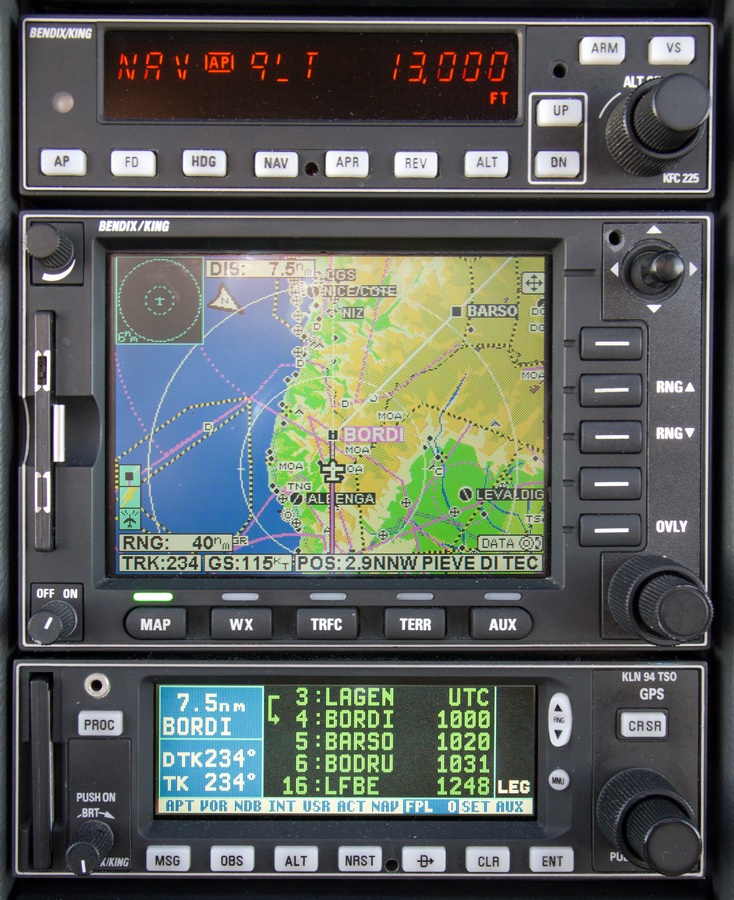
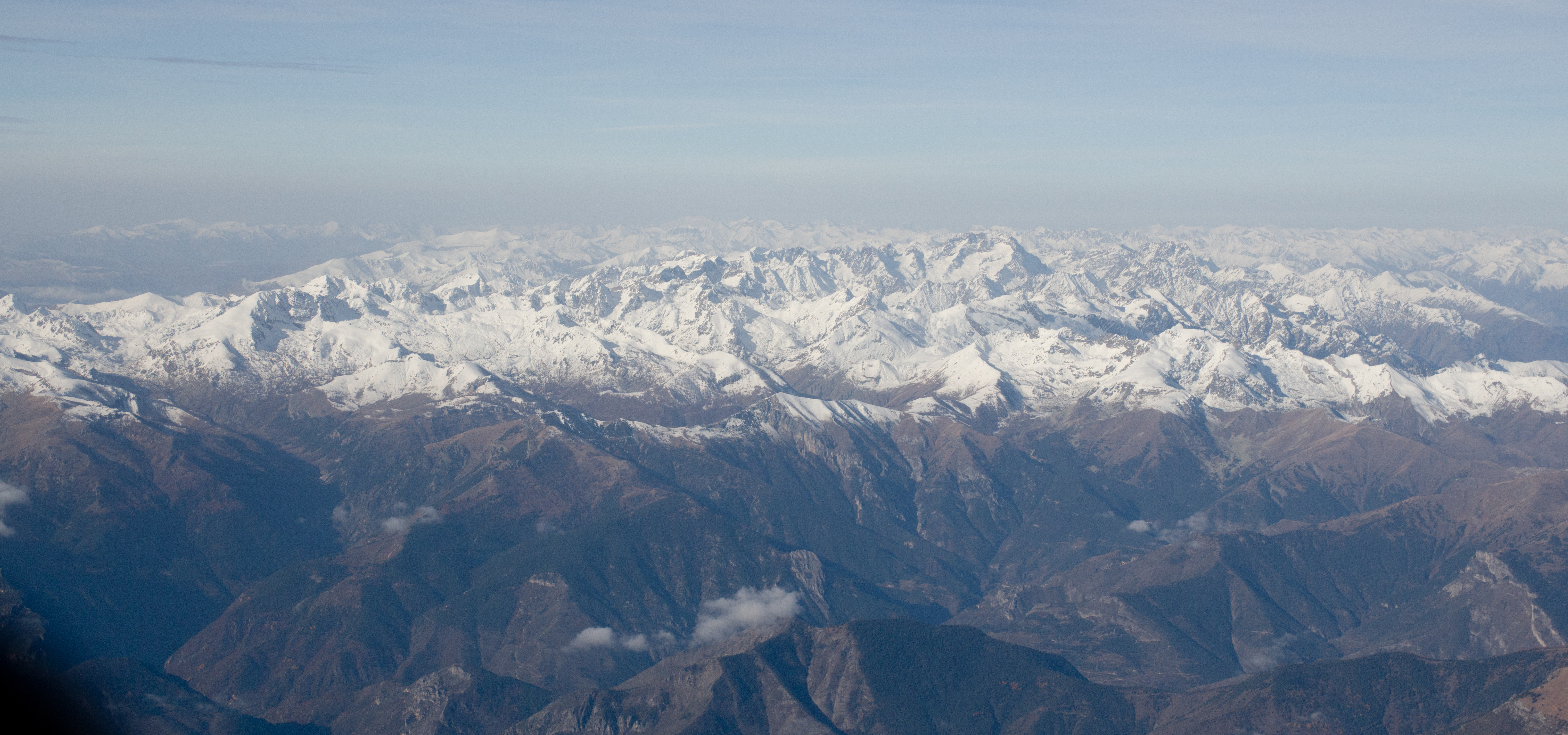
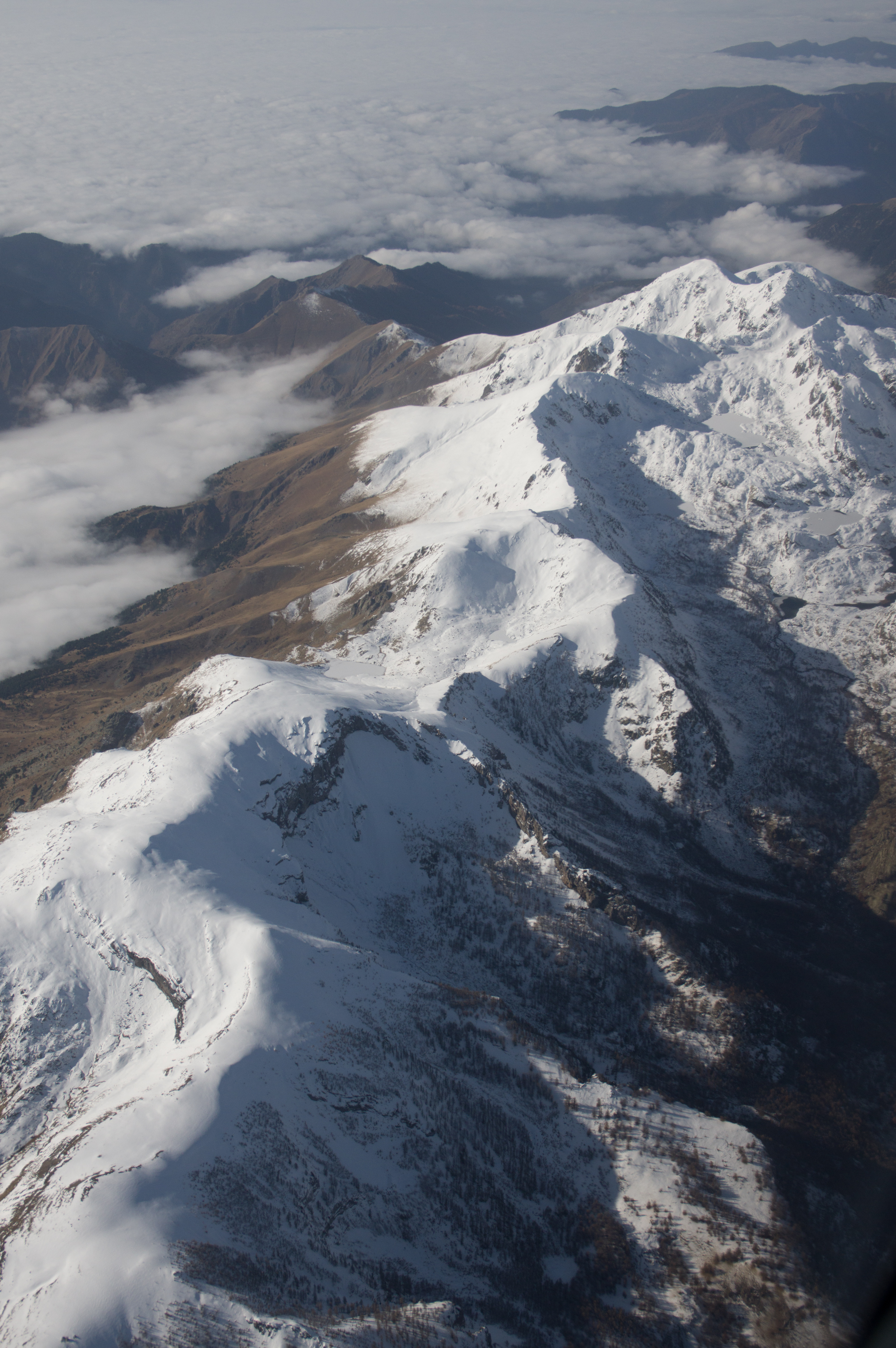
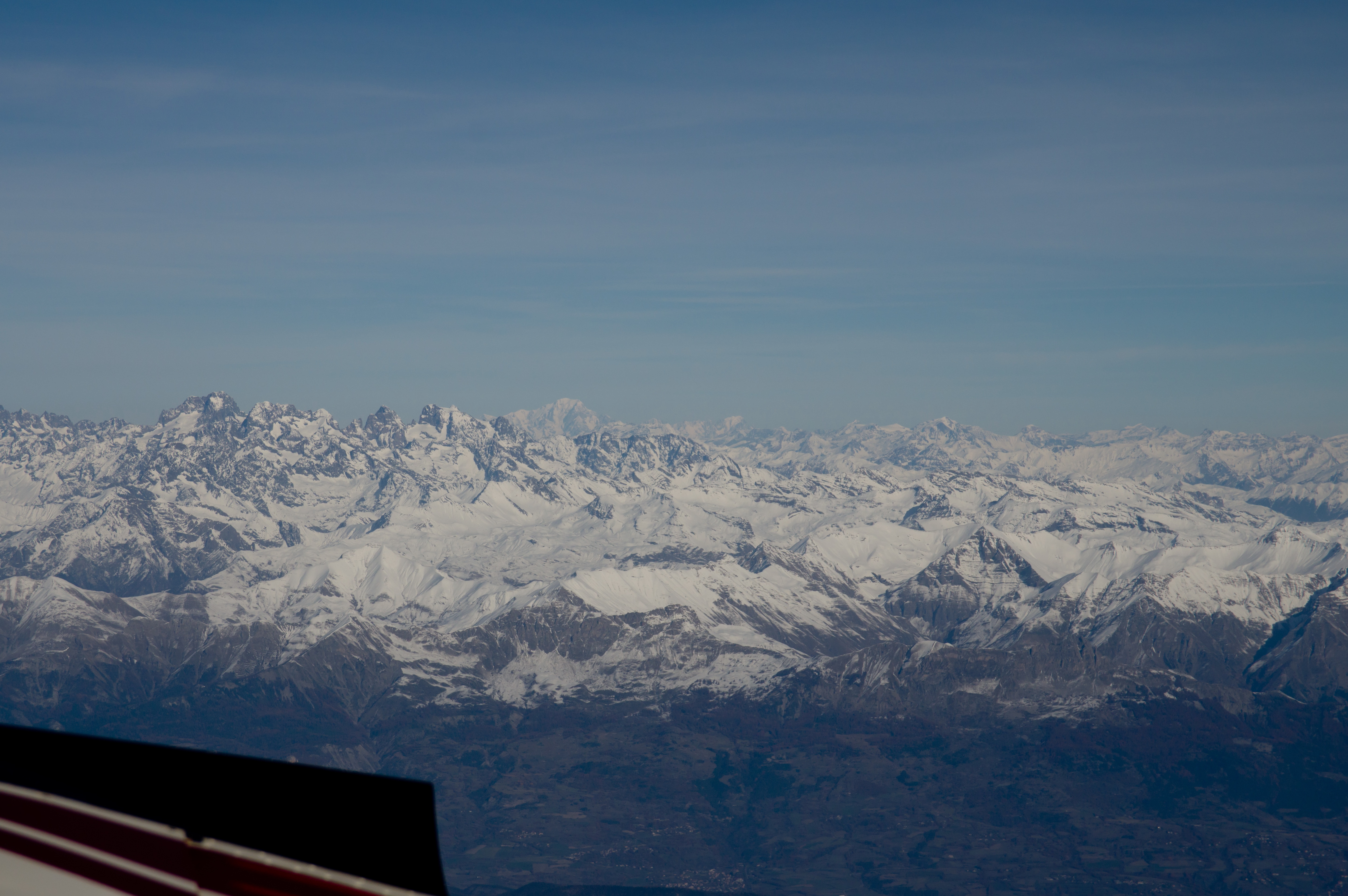
At FL110, we had TAS=140kt, 9.4 USG/hr fuel flow, -3C, and a 20kt headwind.
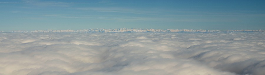
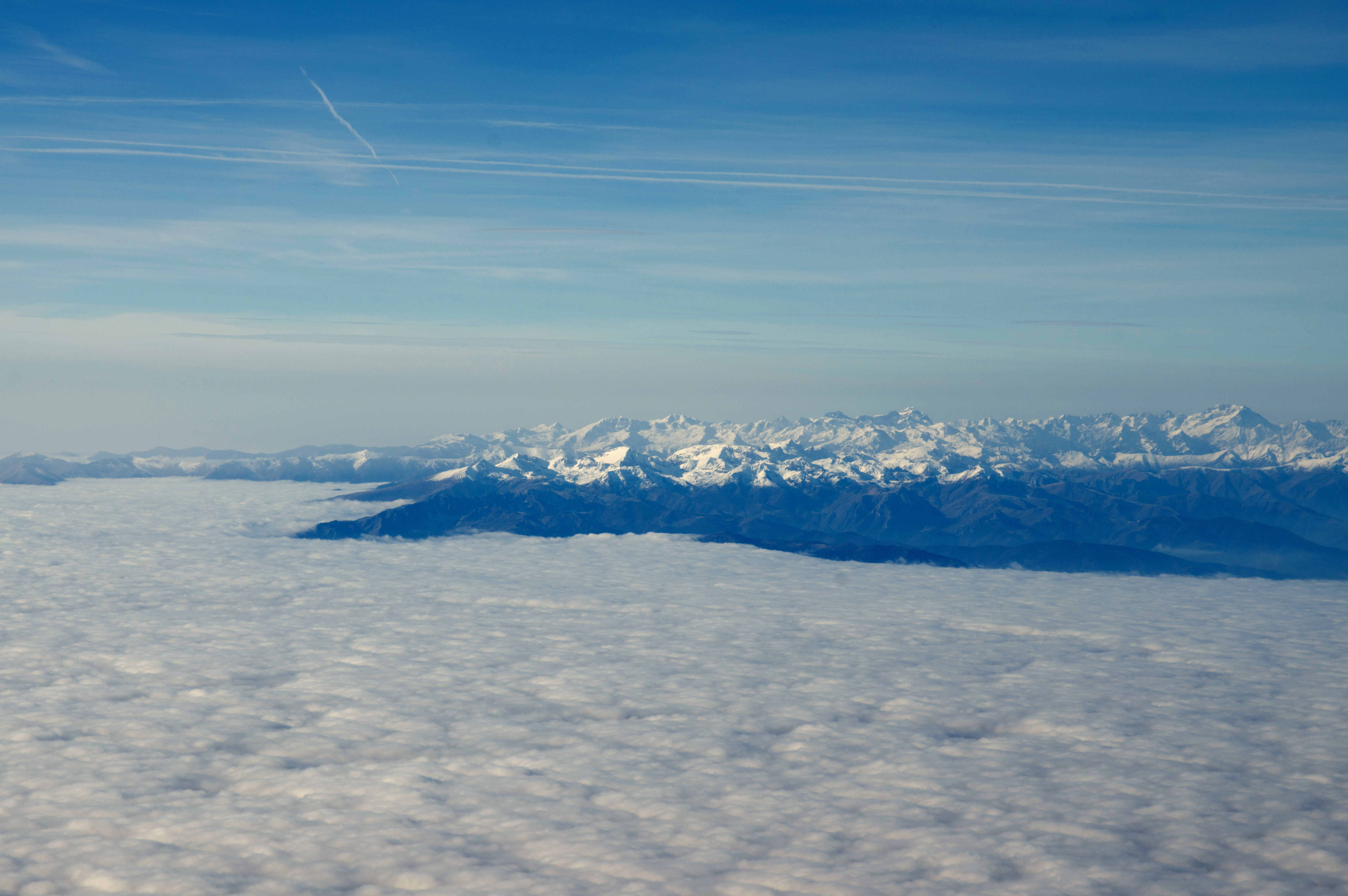
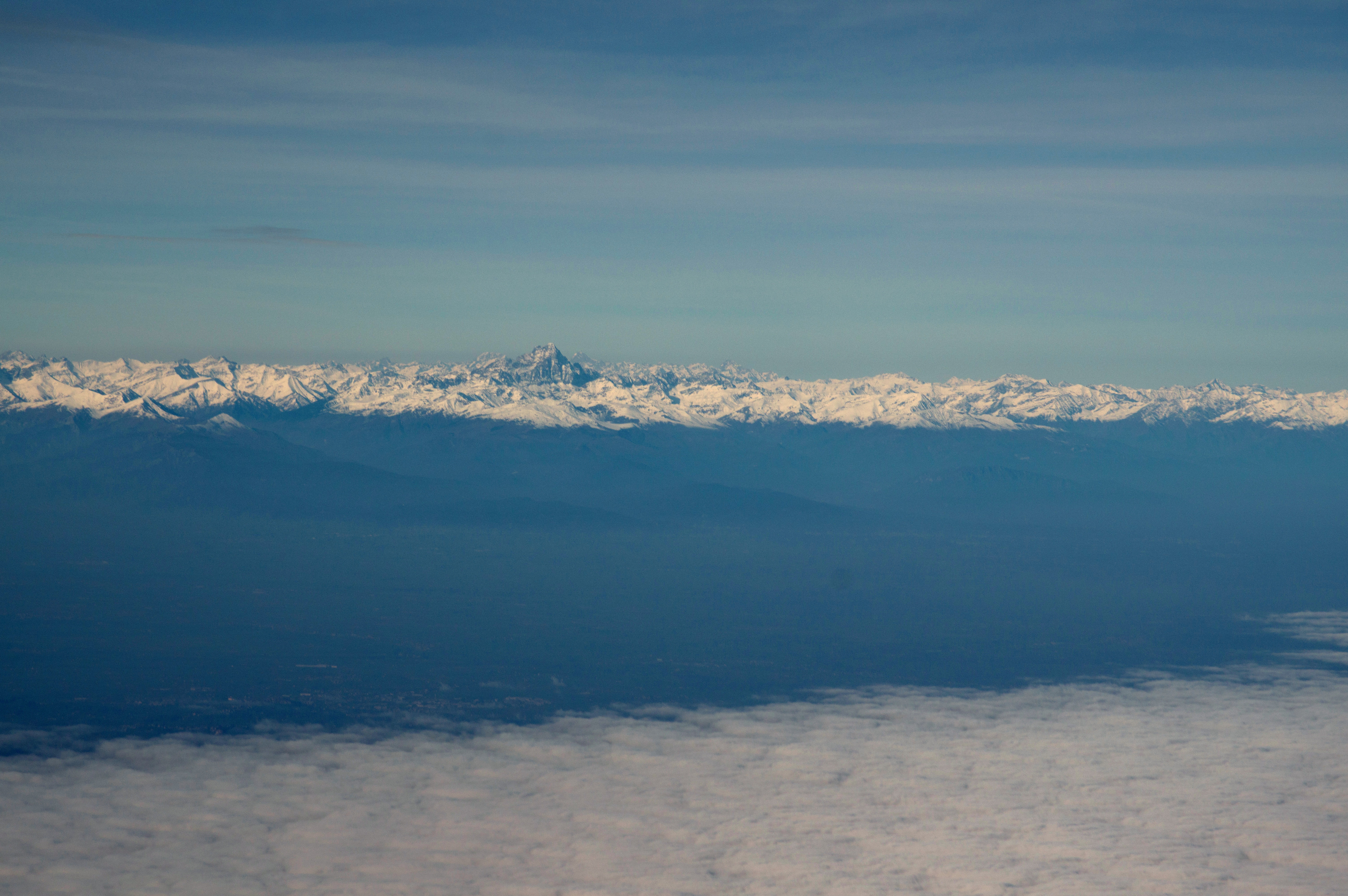
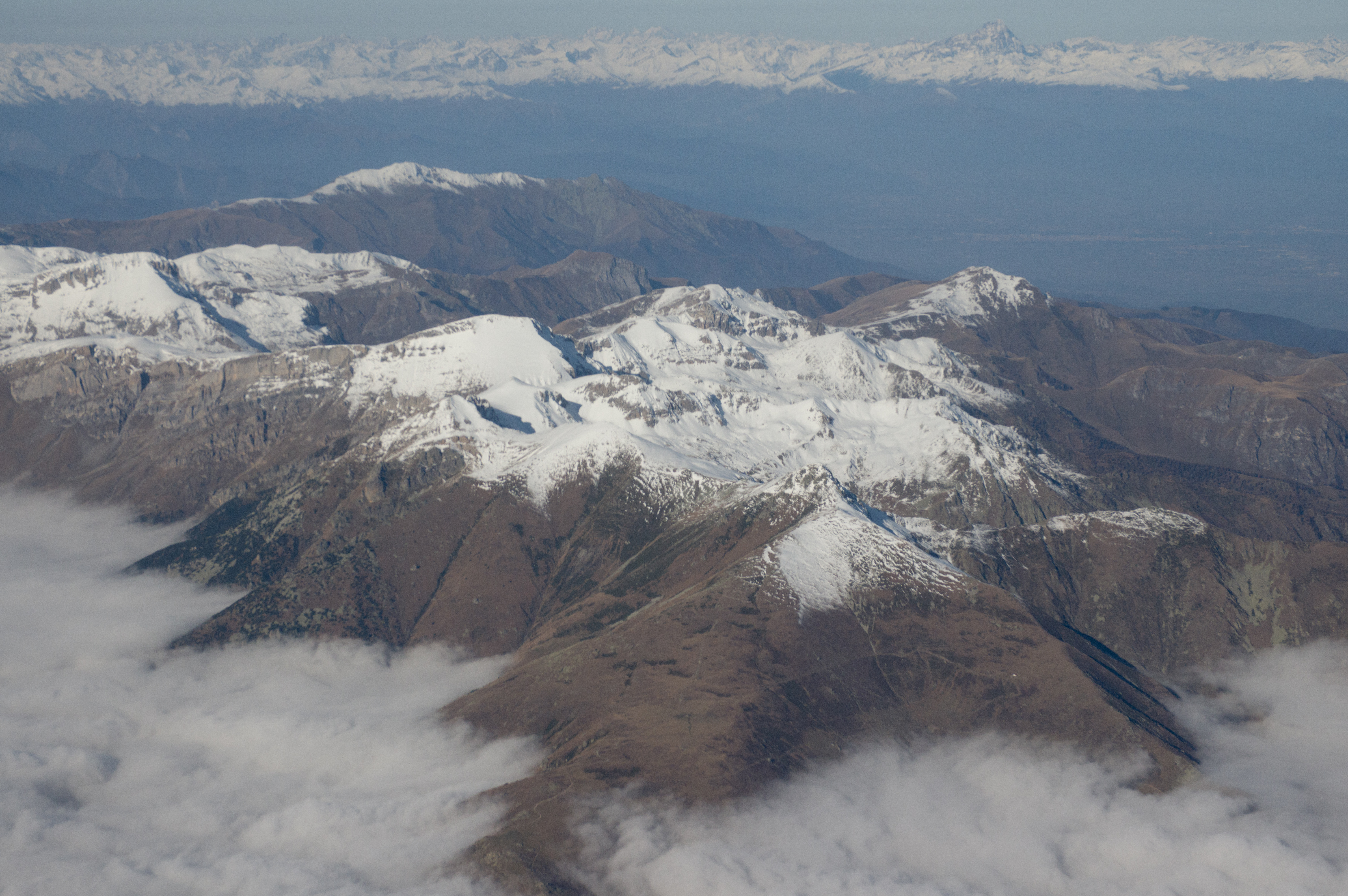
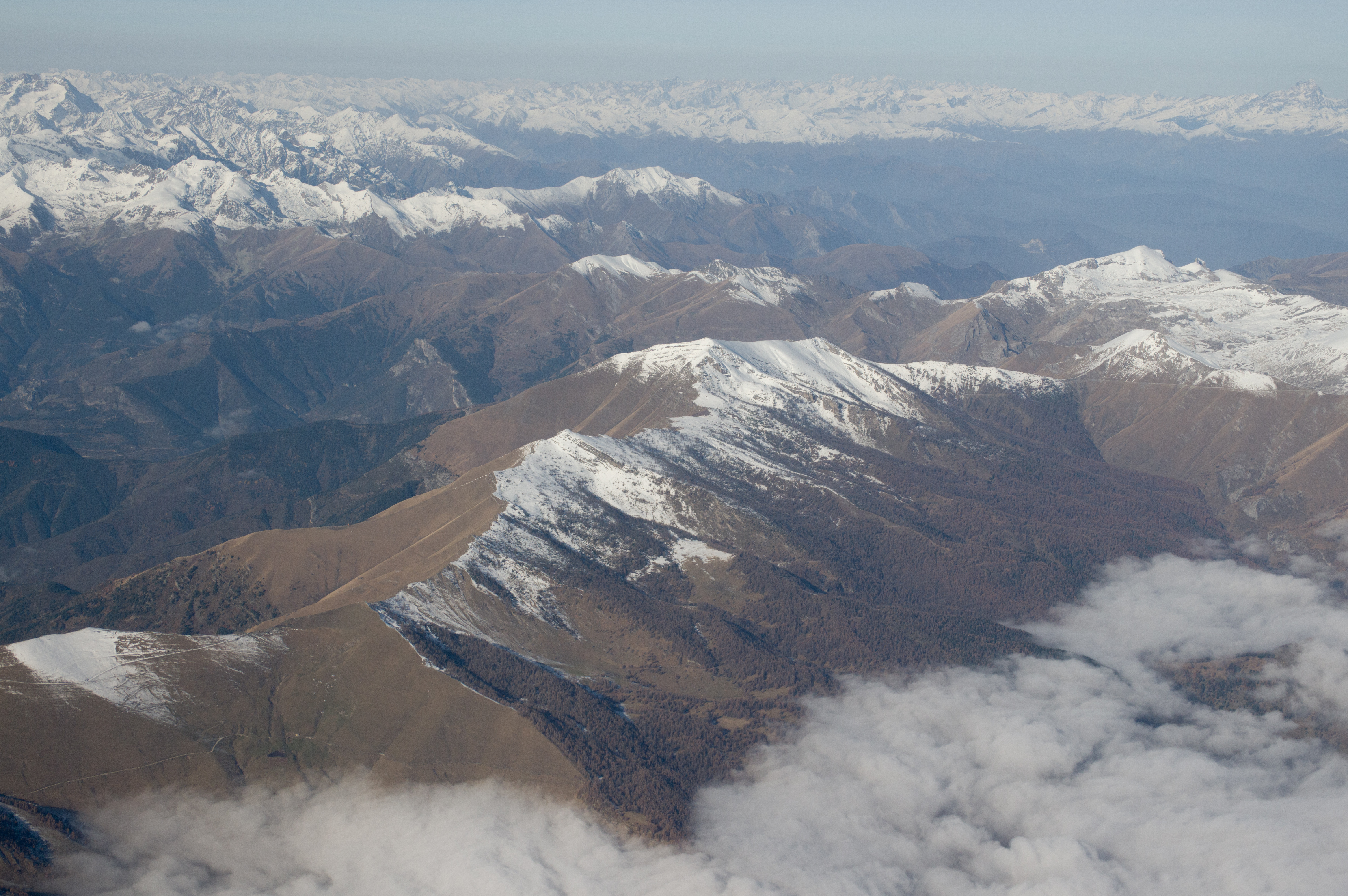
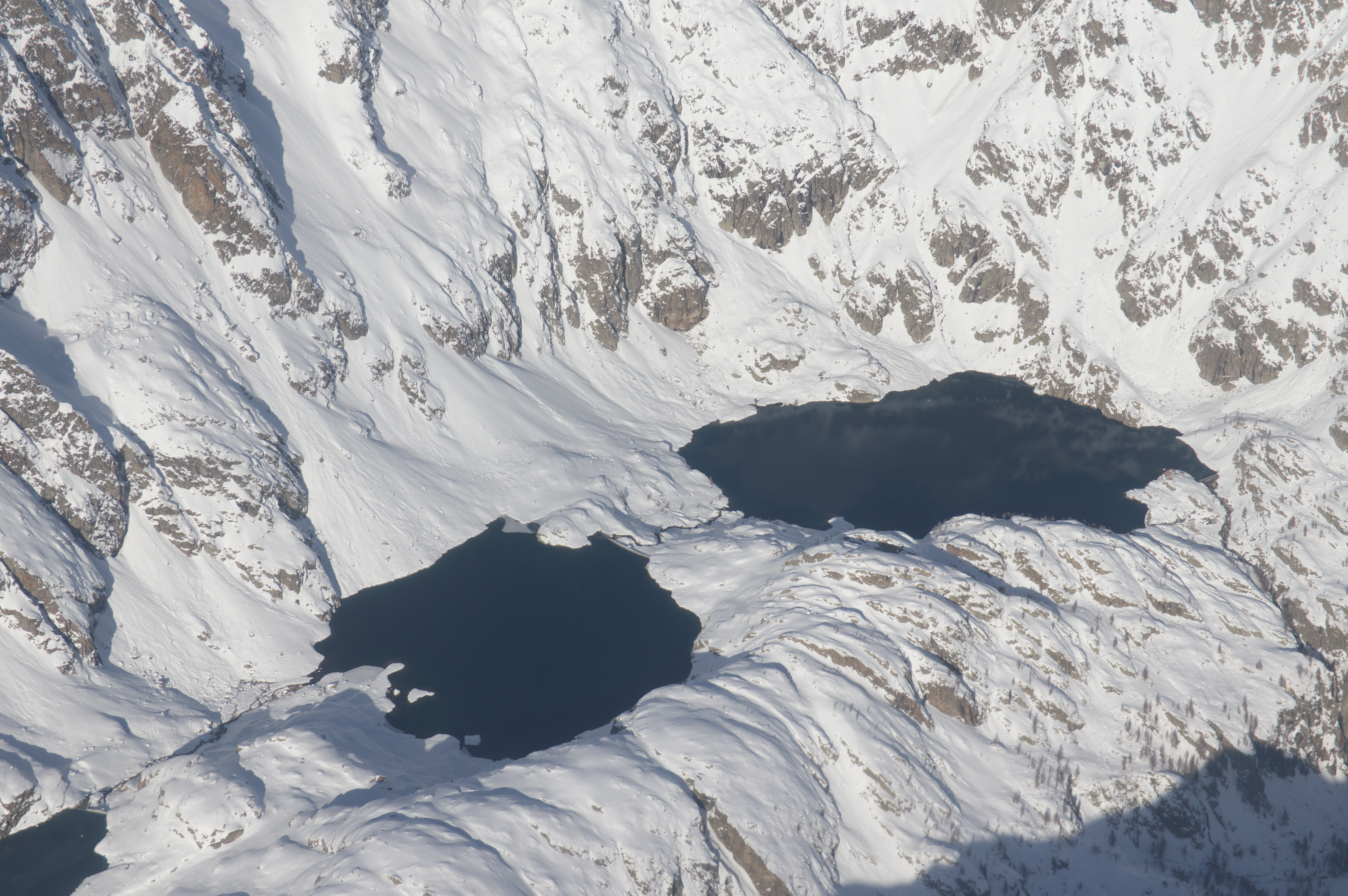
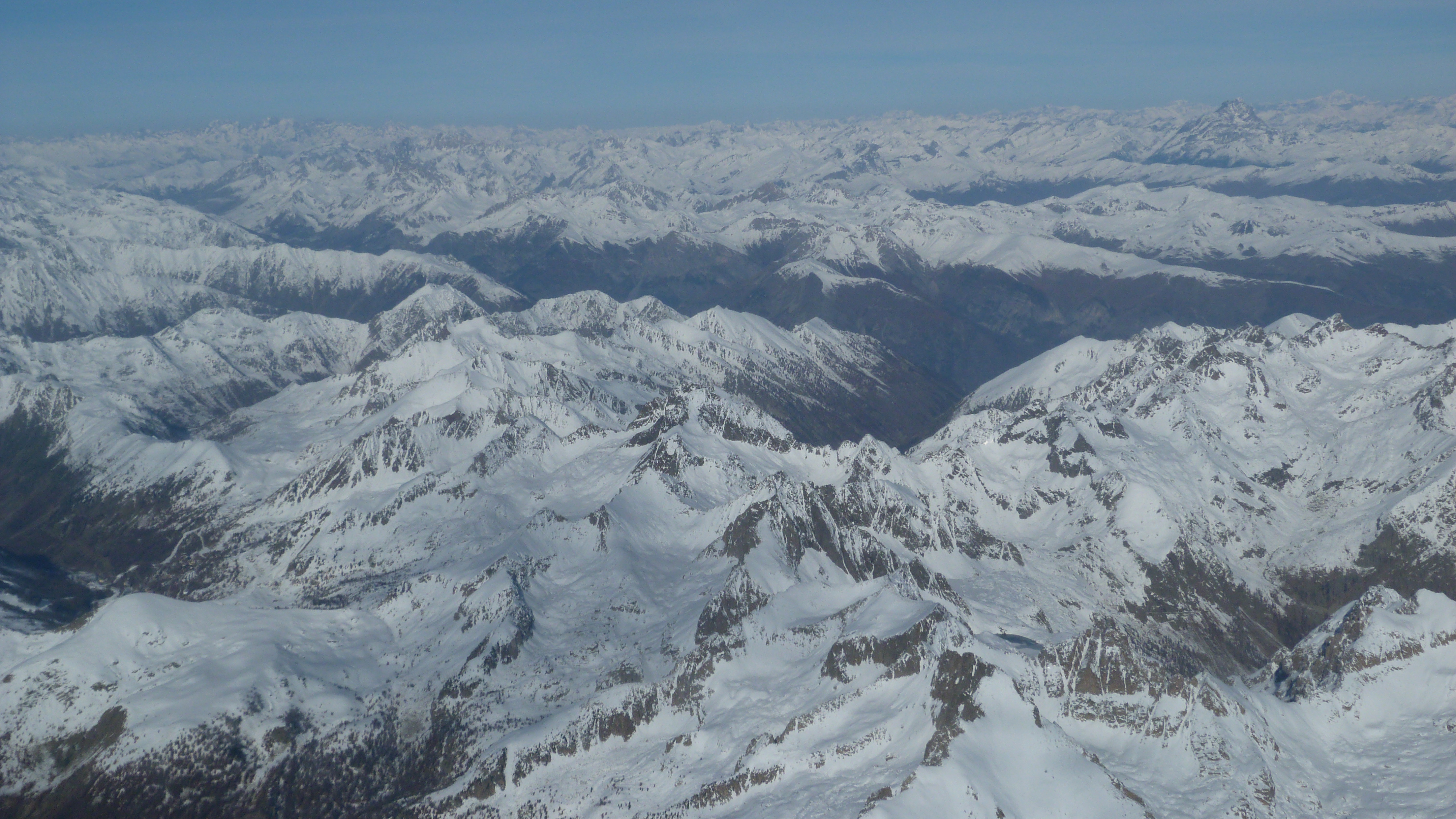
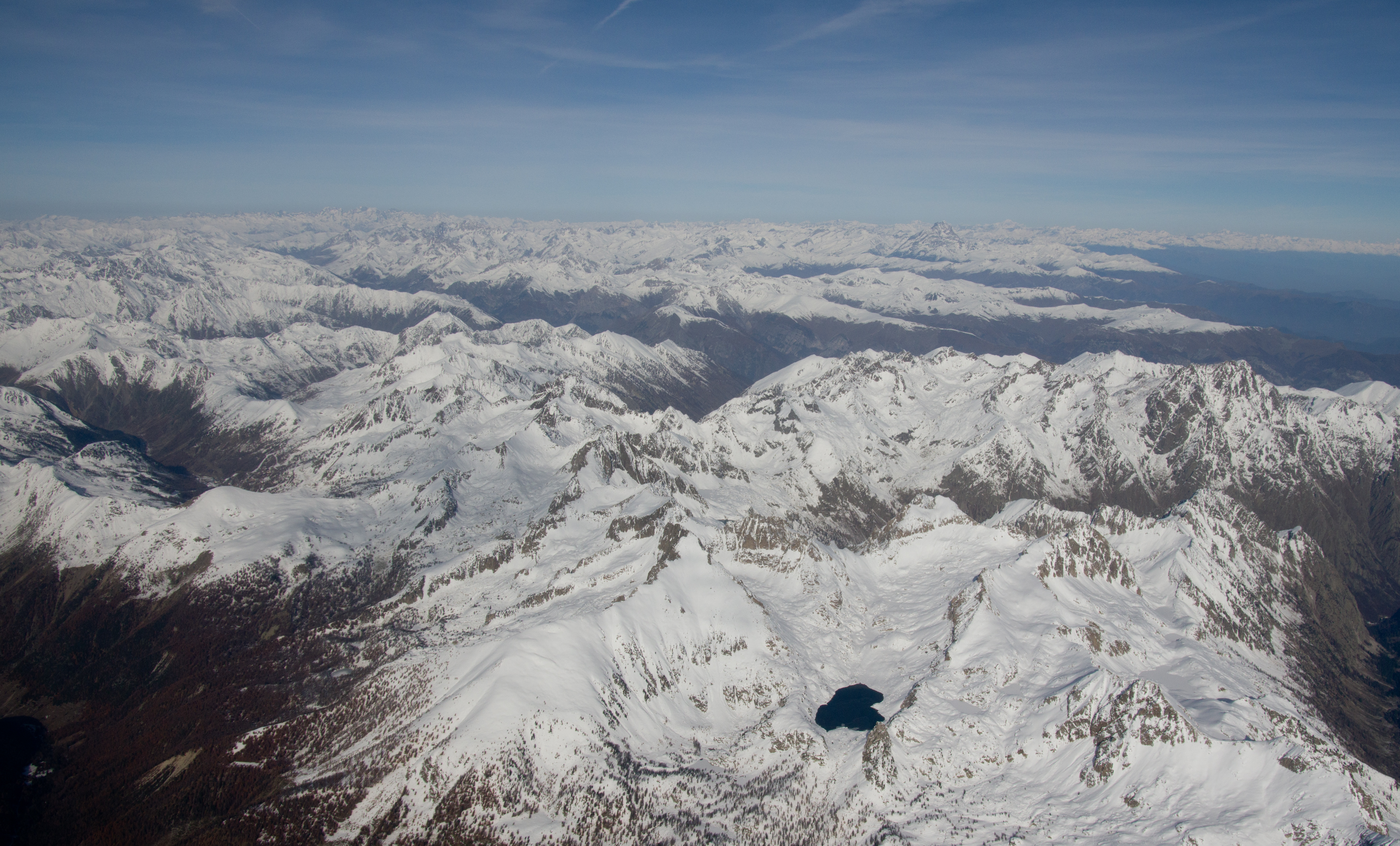
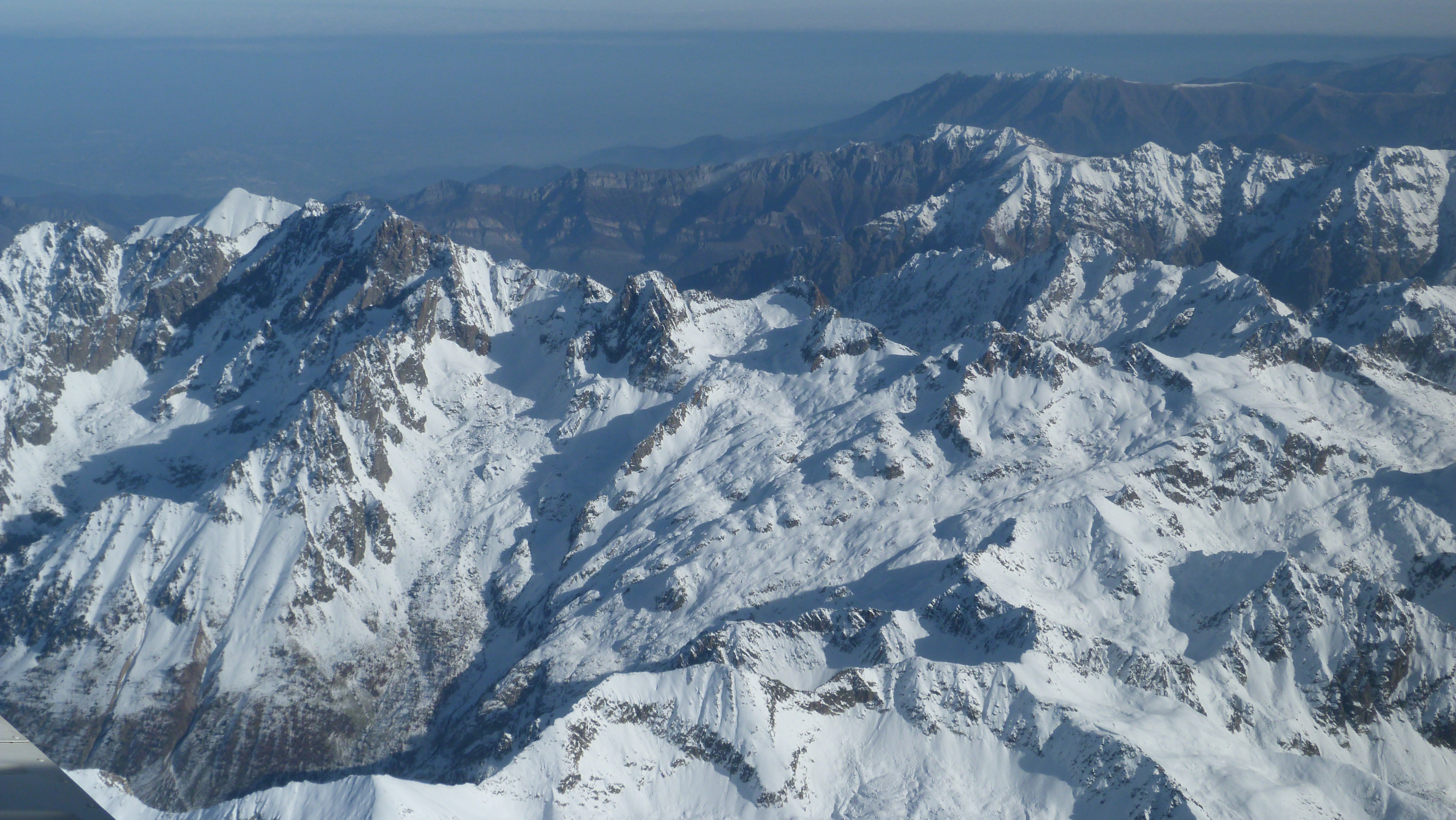
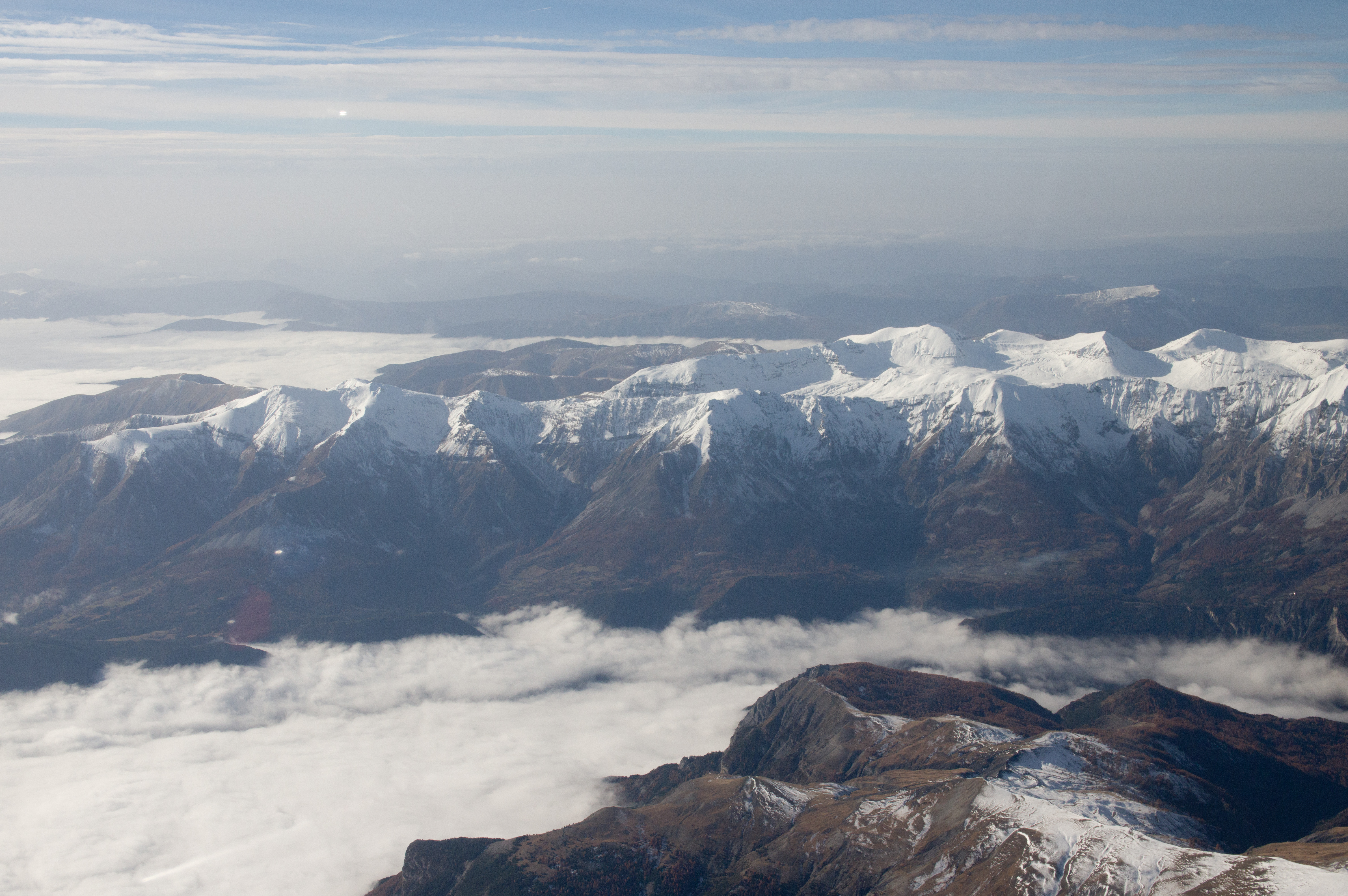
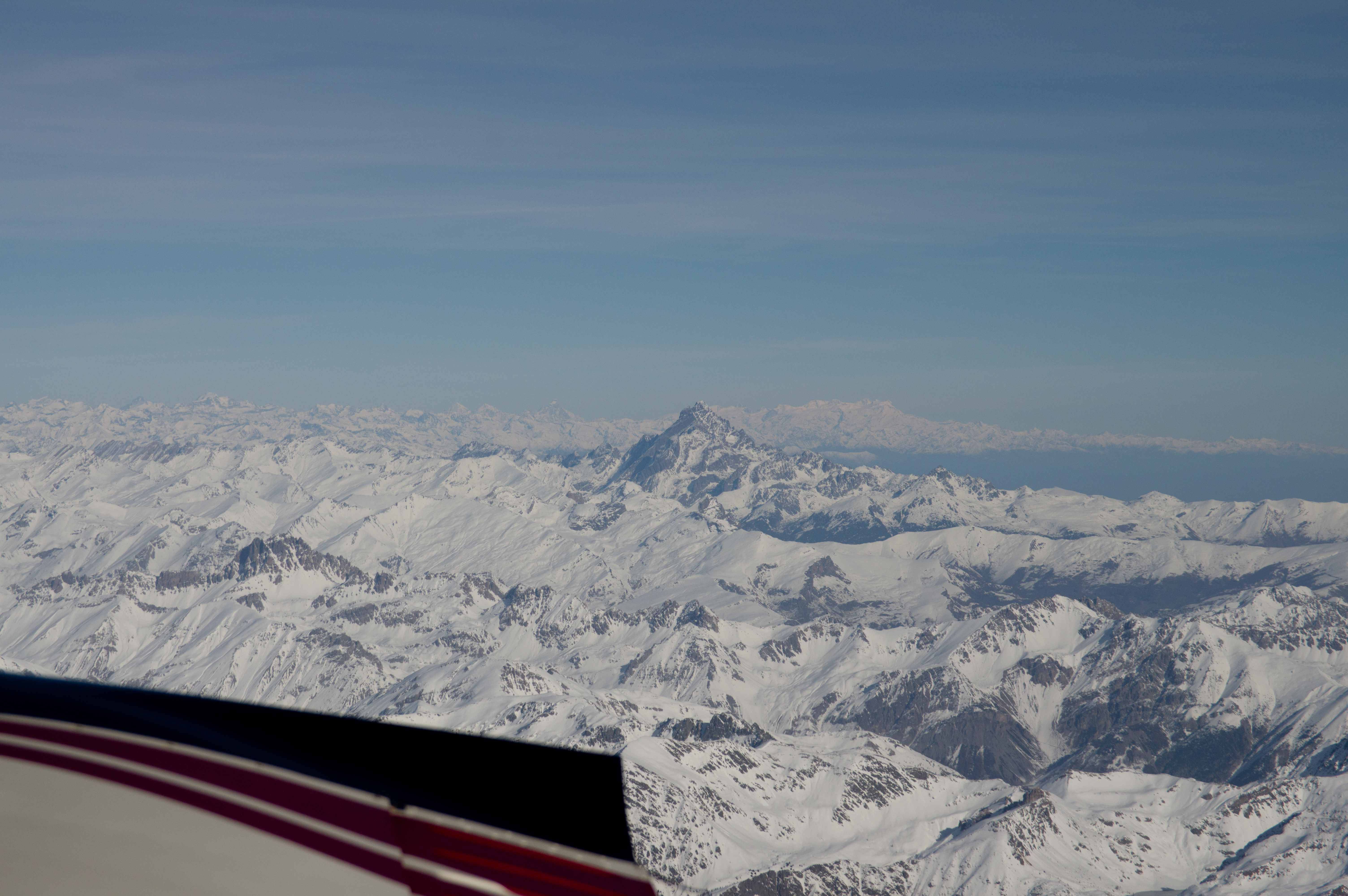
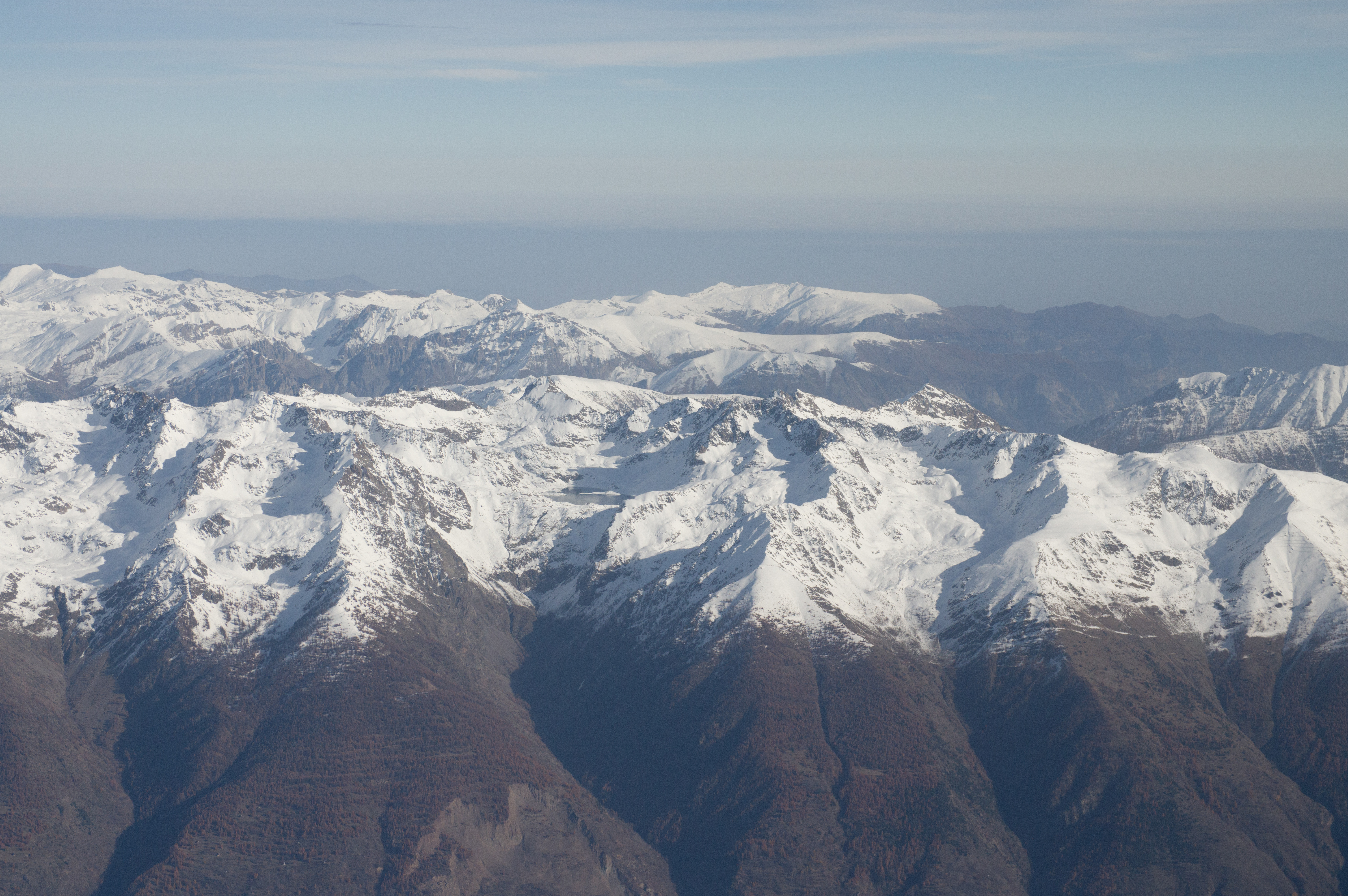
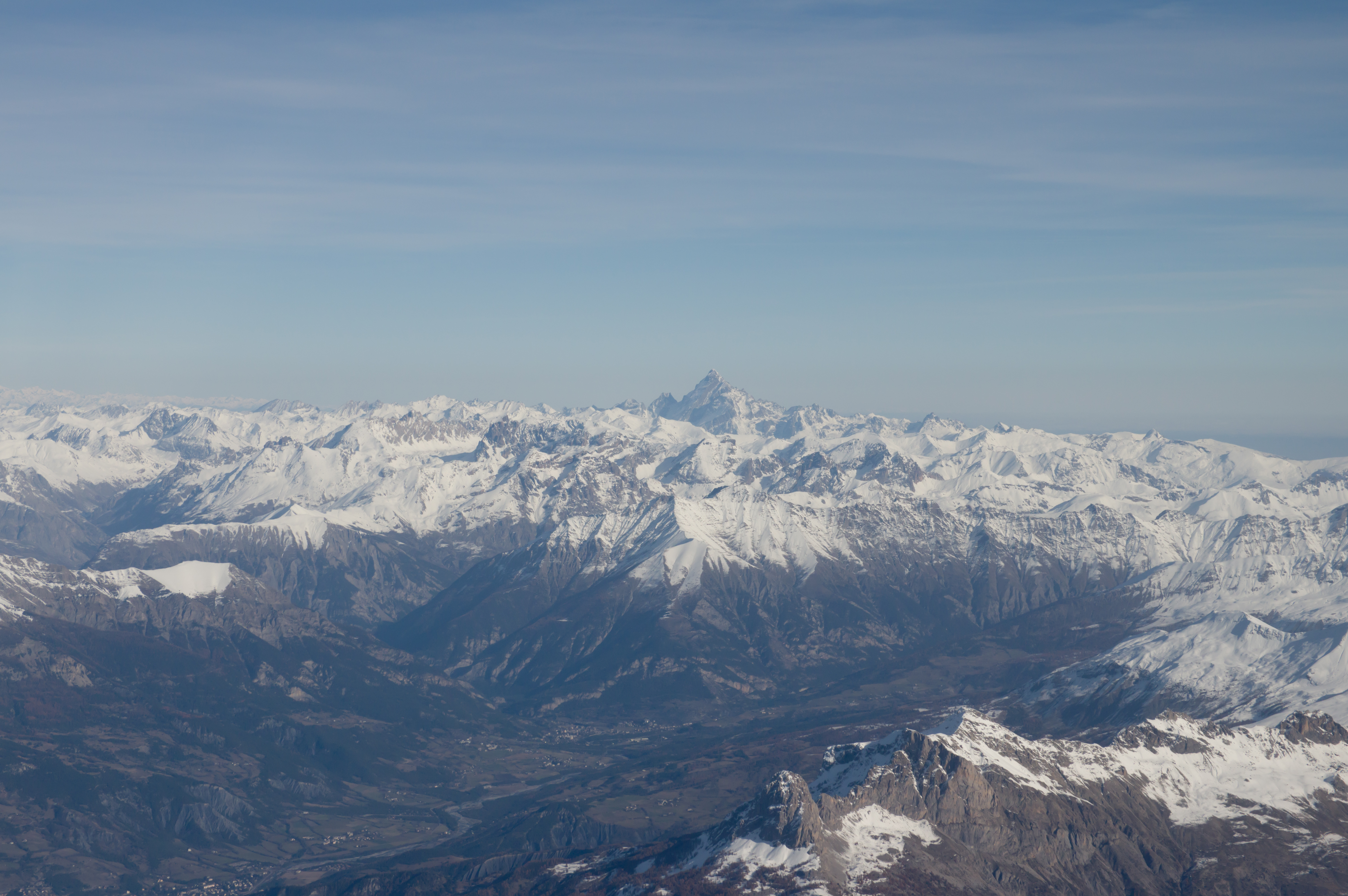
And here are the Alps. We climbed to FL140 for MTL. I tried to set the "best power" setting (130F ROP) and this yielded TAS=149kt at 11.4 USG/hr. That is 15% extra fuel burn for the extra 10kt. The forecast LFOB (landing fuel on board) was 41 USG at MTL; the eventual post-landing figure was 42.9 USG.


These short and rather poor quality videos illustrate the IFR flight at FL140
Video 3 (15MB mp4)
Video 4 (8MB mp4)
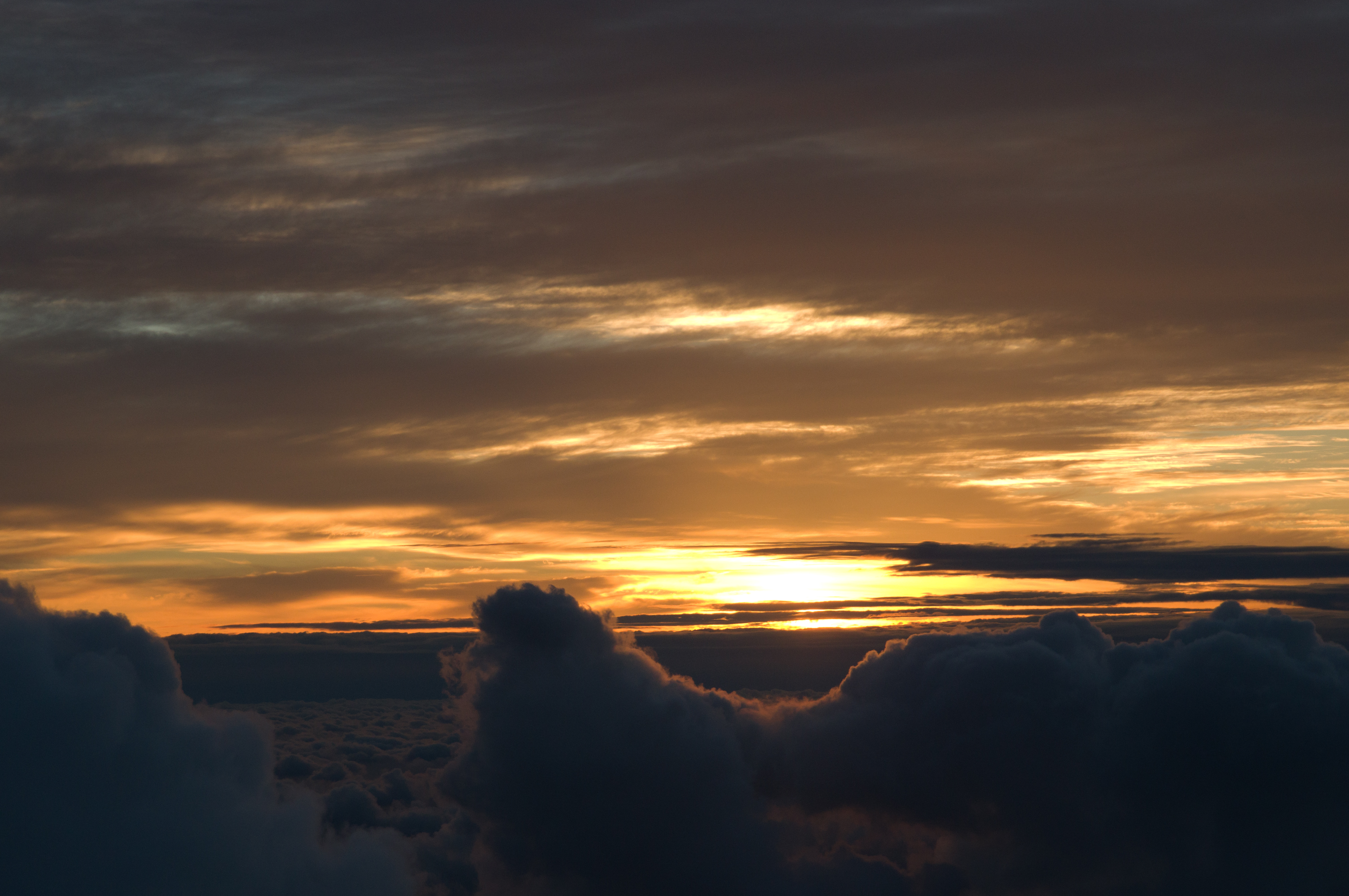
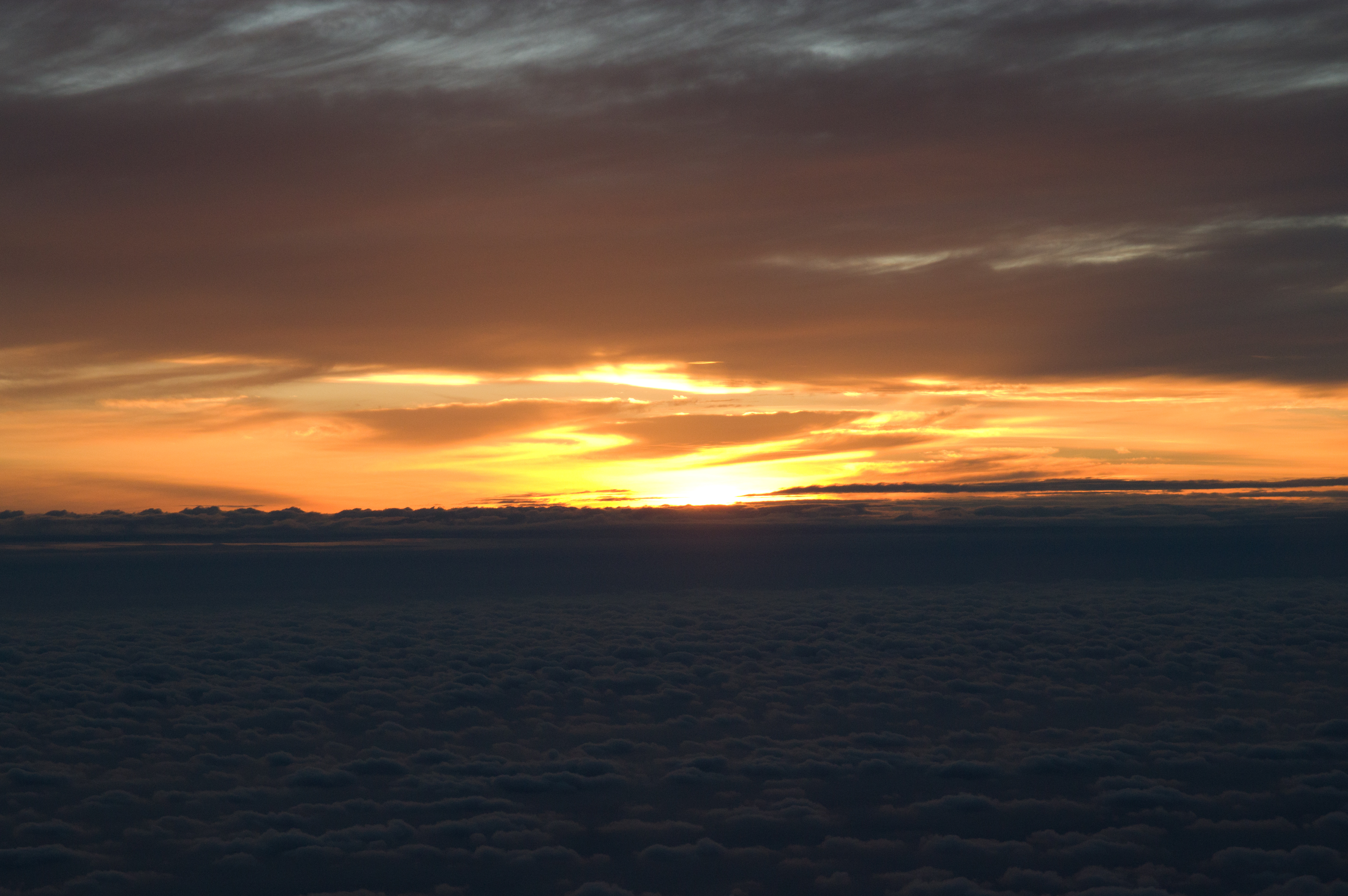
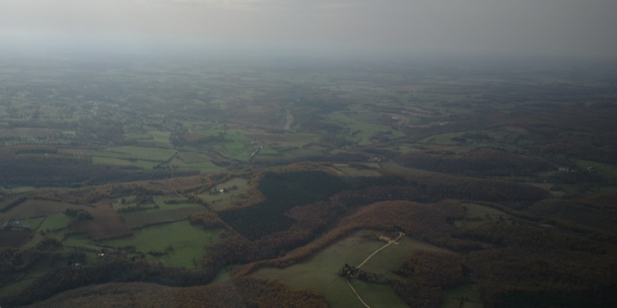
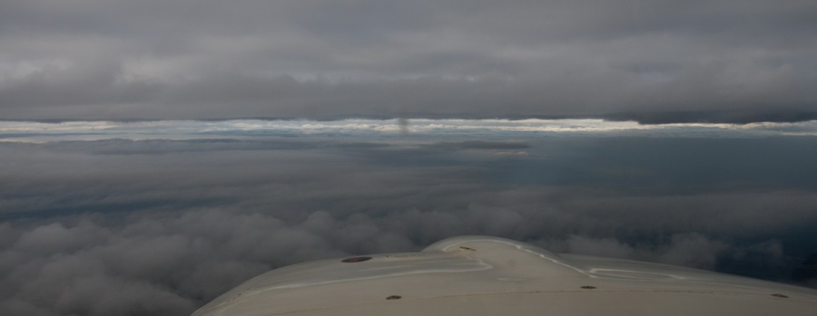
Then we got some smooth cloud below, which cleared up a bit later
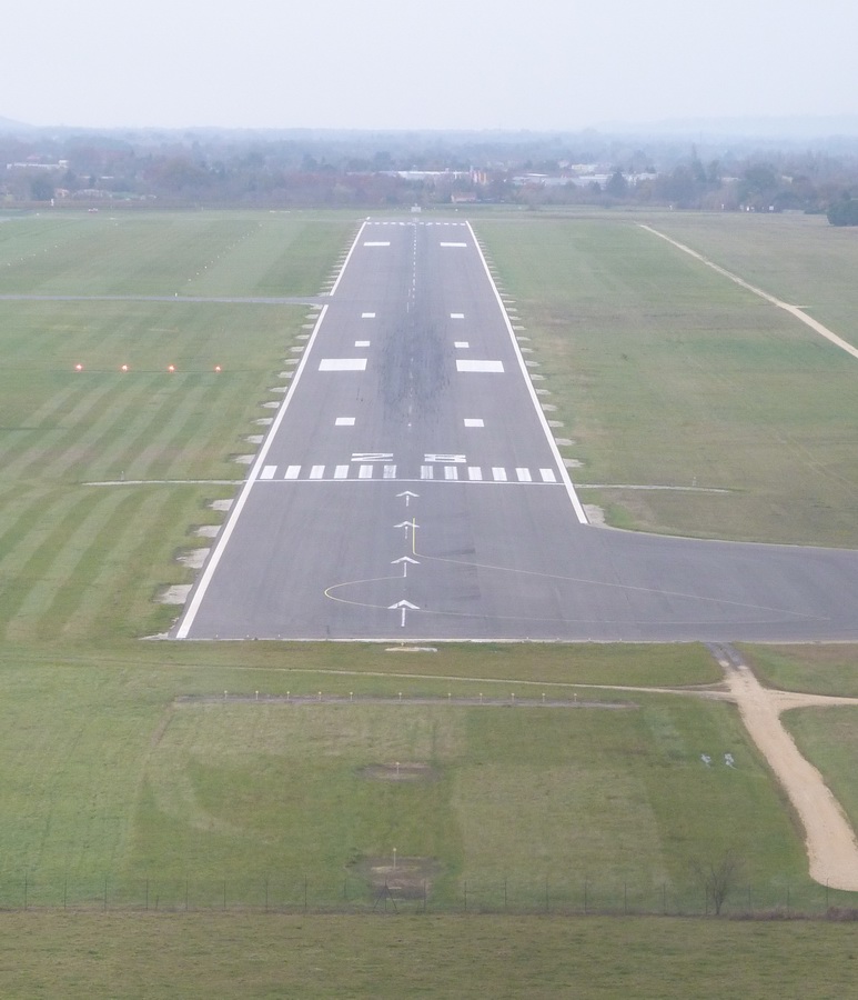
A straight-in visual approach (a visual approach is a procedure under IFR) to Bergerac
This is the route to Bergerac (black is the one actually flown)
On the way to Bergerac, past Rodez, I asked their ATC if they could telephone Bergerac and check that avgas will be available without delay, but they replied they have no way to do that! So I asked Bordeaux Approach a bit later and they seemingly sorted it because we got a very fast refuel, my friend was dropped off and I was on my way to Shoreham, all within 35 minutes.
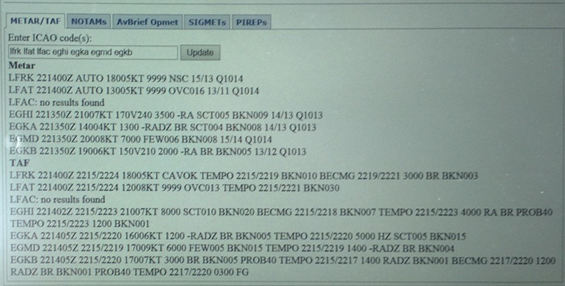
The weather for this last leg to EGKA was checked on the ground. It didn't look good: TAFs/METARs The data obtained earlier in the day, with Gatwick (EGKK) being the only airport reporting, was similar.
I was keen to get moving because I wanted to be back to Shoreham before darkness because flying a nonprecision approach to probable minima and at night is only piling up the risk. However, all the alternates had ILS so not being able to land at Shoreham would not be an issue – except all of them were totally inconvenient!
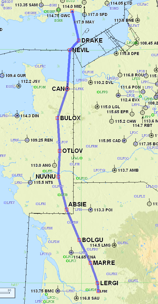
The Bergerac-Shoreham route was filed IFR at FL110
LFBE LERGI DCT MARRE DCT BOLGU DCT ABSIE DCT NUVNU DCT OTLOV DCT BULOX DCT CAN DCT NEVIL DCT DRAKE EGKA
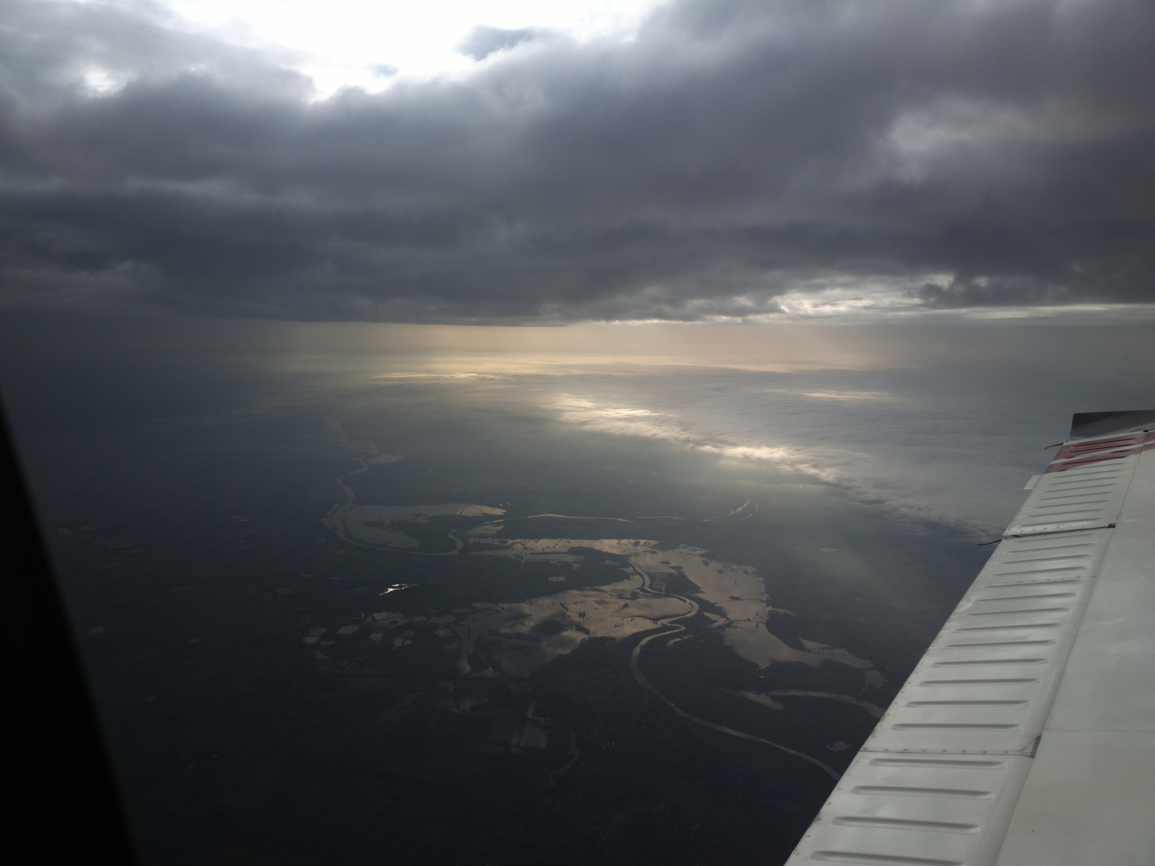
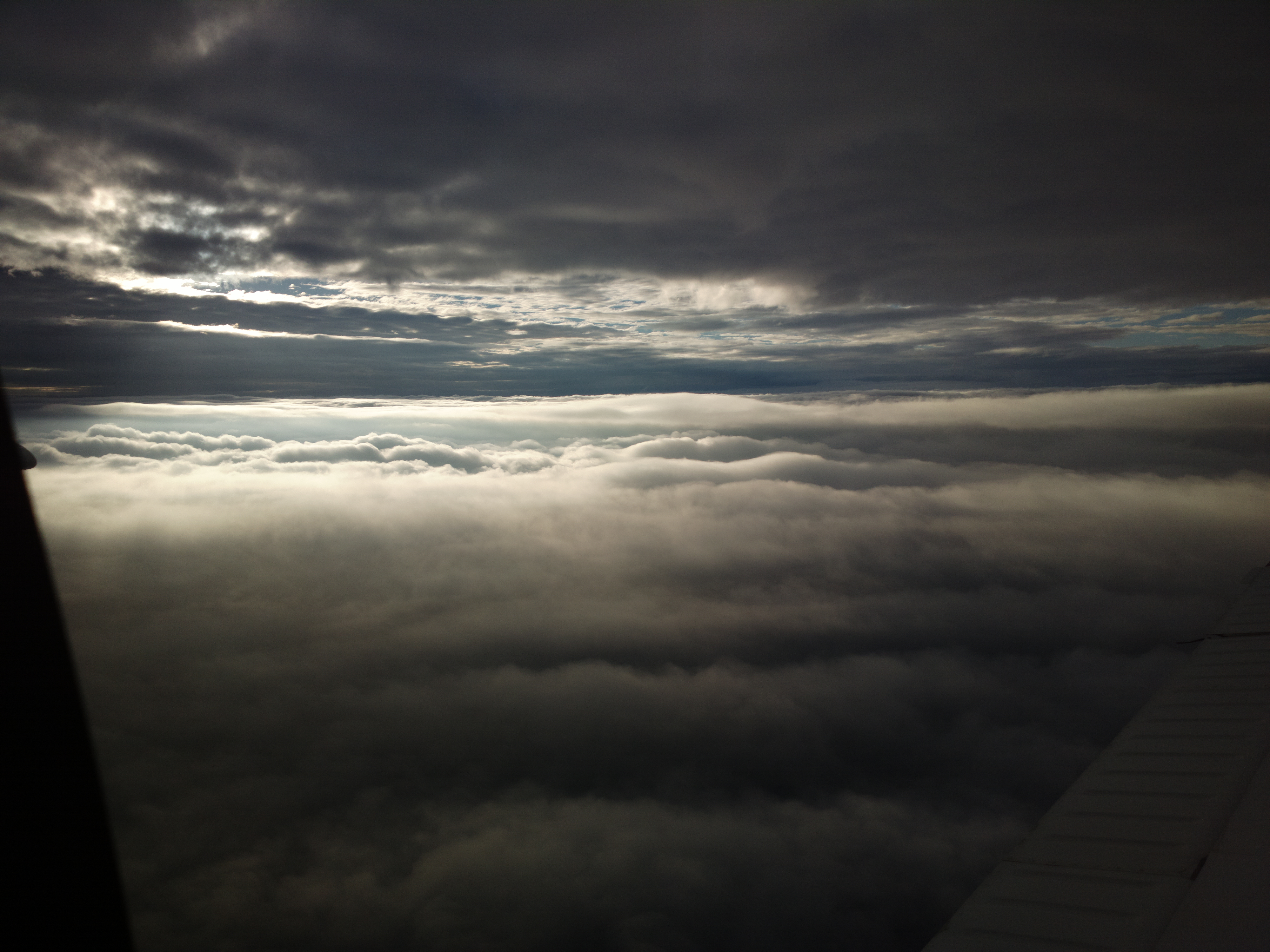
The weather was nice at FL090 so I stayed there for the whole flight
I already knew the weather back home was highly suspect, with a lot of low cloud, so I got the latest data over my old Thuraya 7100 satellite phone connected to the Lenovo T2 tablet, and saw that practically all acceptable alternates were above minima, even if not by much. Crucially, Shoreham would be probably doable on 02, due to the light wind. This is a pic of the tablet; it connects to the satphone over an RS232 connection and uses the Thuraya "1722" $1/minute dial-up connection. Normally I can get all the information shown below in the $1 charge:
It was a very pleasant flight at FL090 - Video (5MB mp4)
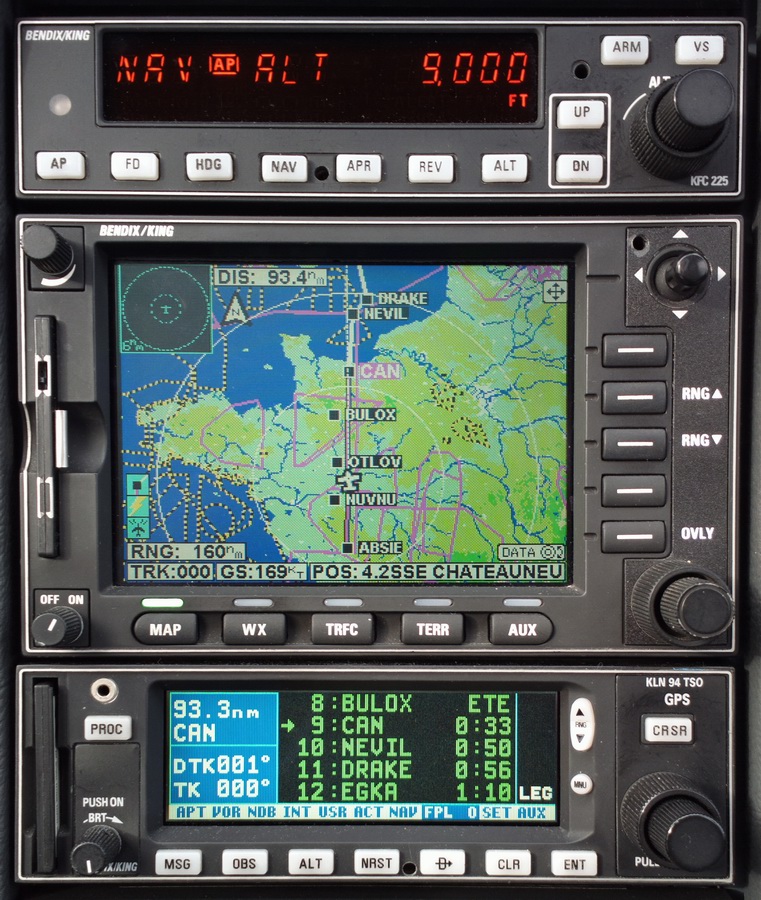
This is the GPS/LNAV 02 approach set up on the KLN94. This is late-1990s equipment but it is 100% fine for virtually all operationally relevant IFR around Europe
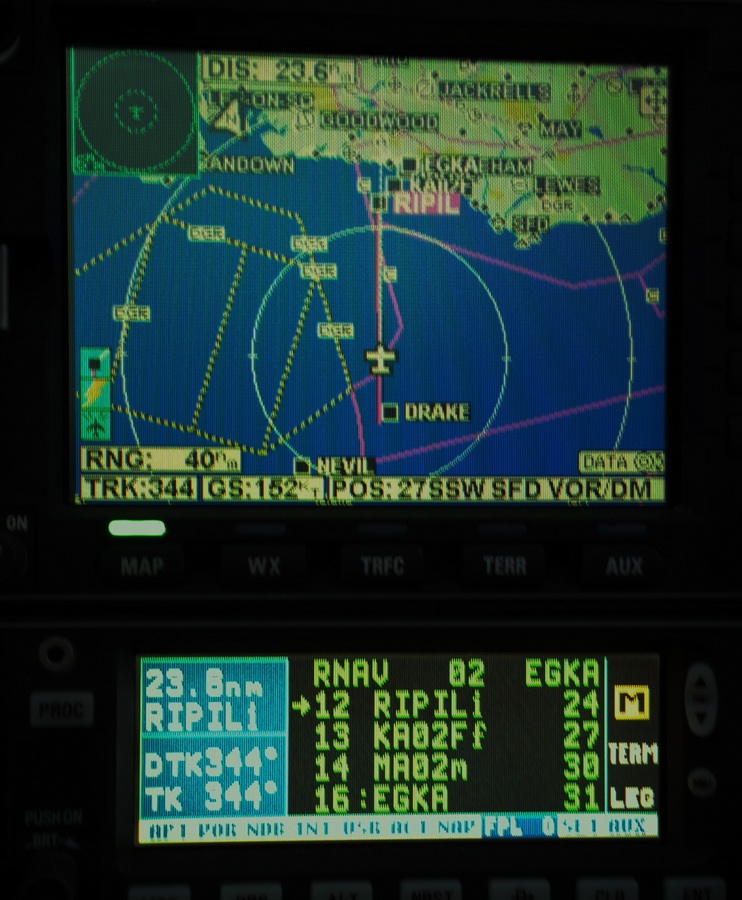
The visibility was only slightly above the minima and I was the only arrival at Shoreham the entire day! The cloud to the north was very low and an approach on 20 would have been well below minima
This is the route actually flown to Shoreham (black is the actual one)
Track Plots
These are from the Oziexplorer logs. The yellow line shows the track. The one marked * has a piece missing at the end, due to corrupted data.
Airport costs
Bergerac was €53 for 2 landings and 1 night parking. Avgas there was €2.07/litre.
Lucca was €38 for 1 landing and 2 nights parking. Avgas there was €2.84/litre.
General
The biggest learning experience on this trip was the VFR flight from Bergerac to Lucca. It highlighted how easy it is to get a transit through French CAS, and how bad the chart situation is for Italy.
The Italian VFR chart situation in particular is likely to drive more people
to the VFR tablet-based products (PocketFMS and Skydemon) even though both of
these cost a lot more than the paper charts - for the average VFR pilot who
would have managed with just one chart for his local area. On the other hand,
such a pilot will probably just print off a few pieces of the Italian AIP chart
and mark them up by hand. And I bet many will solve it by flying with the transponder
turned off ![]() They might
also use the 2013 Jepp charts and keep marking up any changes from the Italian
AIP...
They might
also use the 2013 Jepp charts and keep marking up any changes from the Italian
AIP...
Very little oxygen was used on this trip - probably 10% of the 48 cu. ft. cylinder. But without oxygen I would have never attempted it because one cuts off half of the aircraft operating ceiling and would spend most of the flight in icing conditions and turbulence.
No general aviation aircraft were seen airborne on the entire trip.
Most of the photos on this trip were taken with a Pentax K3 with a 17-70 DA lens. A few were taken with a Panasonic DMC-FZ45 and the Nokia 808 phone. The ex-Pentax ones were taken in DNG raw and processed in ACDSEE PRO v7.
The Value of an IR
This trip could have been done wholly under VFR, and would have been quite scenic at low level, but it demonstrates how "light IFR GA" is useful even in good weather. The implicit whole-route clearance delivers a very stress-free way of flying through some messy airspace layouts and would have made the Cannes/Nice area totally trivial, albeit at a loss of the scenic views.
Flight times (airborne times):
EGKA-LFBE 2:45
LFBE-LIQL 3:30
LIRJ-LFBE 3:50
LFBE-EGKA 2:20
Italian GA Tax
This is not a popular topic among pilots in the area but it should be noted that Italy has imposed a "luxury" tax on GA aircraft.
For a TB20, 1400kg, 250HP, this is around €3000 for a year, but is imposed 100% up front. When originally created (several years ago) it was going to be imposed after 45 days' stay on Italian soil. There are some exceptions for aircraft type or age but no exemptions for aircraft grounded due to weather or e.g. pilot licensing/medical issues. To avoid completely farcical situations arising, there is an exemption for aircraft undergoing "maintenance" (which is not defined but presumably means booked in with an Italian maintenance company; a prospect which I would think about hard). I stopped flying to Italy during that time, due to the risk.
In 2013 the period was increased to 6 months i.e. you have to be parked on Italian soil for 6 months before they hit you with the €3000. This is acceptable - so long as you do not suffer a major problem with the aircraft.
I have not been able to find official references (with translations) for the foregoing, but have been assured by one pilot that this would not apply to a non Italian aircraft... perhaps not a good idea to rely on that! Recent reports from Italy suggest that some of the border police there don't even know what "European Union" stands for.
In the case of Lucca, there are no maintenance facilities so leaving a non-flyable aircraft there for 6 months might create an interesting scenario...
This page last edited 24th January 2015